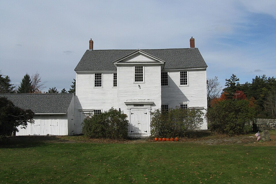
Listed on the National Register of Historic Places in
1971. A historic map-sheet match is not published yet. The record needs a coordinate-quality review before it can be joined to a sheet boundary.
From the record
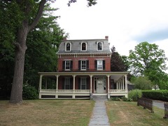
“The Pelham Town Hall Historic District encompasses the remaining municipal portion of the center of Pelham, Massachusetts as laid out between 1738 and 1743. It includes the Old Town Hall, built in 1743, which is claimed by the town to be the oldest continuously used town hall in the United States.”
Wikipedia article Pelham Town Hall Historic District, CC BY-SA 4.0.
one of 32 National Register listings in Hampshire County · listed in 1971 · category: District.
National Register reference number.71000085- the number the National Park Service assigned this property when it was listed, and the key its nomination file is catalogued under at the National Archives.
What happened here
An account from the chapter on Pelham town, The inset identifies its exact
source book and publication year.
The last of the considerable deposits (m t) at hig-h level on the eastern side of the valley dependent upon the obstructed drainage which attended the retreat of the ice occupies the long, narrow valley along the west border of the Belchertown quadrangle, which runs north by the village of Leverett, along Pond Brook, and past the entrance to "Rattlesnake Gutter," and extends south across the town line into Shutesbury, skirting Mount Boreas on the east and ending just south of this mountain, where, south of 42° 25', the north branch of Fort River, which occupies the lake's former outlet, passes into a canyon to reach the open valley above East Street village, in Amherst.
Fortunately the ditch for the main of the Amherst waterworks ran from the west across the flat where the ice rested at the entrance of the portal (Pelham City), giving a complete section of the semimorainic beds that rested on the ice with all their irregularity. It continued past the Orient, exposing the passage beds to the fine della sands, and, passing high up above the brook into the notch which this brook has cut into the portal or entrance terrace, it continued along its southern slope through the whole delta deposit and far out into the central portion of the basin. At first, and nearest the ice, the beds dipped west, and these may be "backset" beds, as Prof W. M. Davis would say,^ or may have taken this posture as a result of the melting of the ice beneath and their sinking westwardly. For the most part the beds dip strongly east into the basin and show that the current came from the west - that is, from the ice.
A. - At the first house in the west village of Pelham, about 320 feet above the sea level, the last trace of the highest bench of the Amherst basin (the Hadley Lake) disappeared, and through the village, eastward into the notch, the coarse till made the surface to the point where the Shutesbury road branches off, as has been described on page 581.
Regional context, not property-specific
evidence. The
federal wildfire occurrence database
lists 11 fires within 5 miles of Pelham Town Hall Historic District between
2004 and 2020, burning about 10 acres in total. 2 started naturally. None was recorded as arson.
Distance is straight-line from the map coordinates, so a fire counted
here may appear on a neighbouring settlement's page as well.
Reported cause
Fires
Missing data/not specified/undetermined
5
Recreation and ceremony
3
Natural
2
Debris and open burning
1
The most recent of
them, most recent first, with the day each was reported and the service
that recorded it.
Regional context, not property-specific
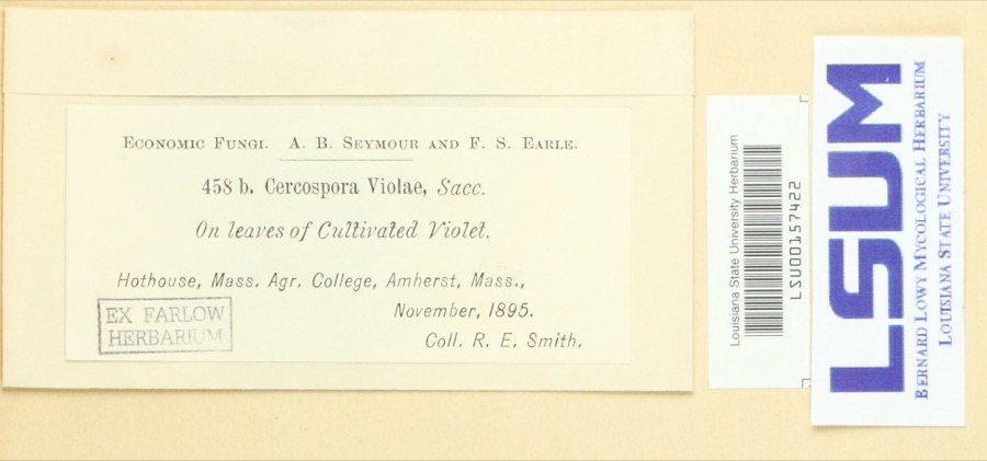
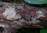
evidence. Museums hold 8,229 specimens
collected within 10 miles of Pelham Town Hall Historic District between 1781 and
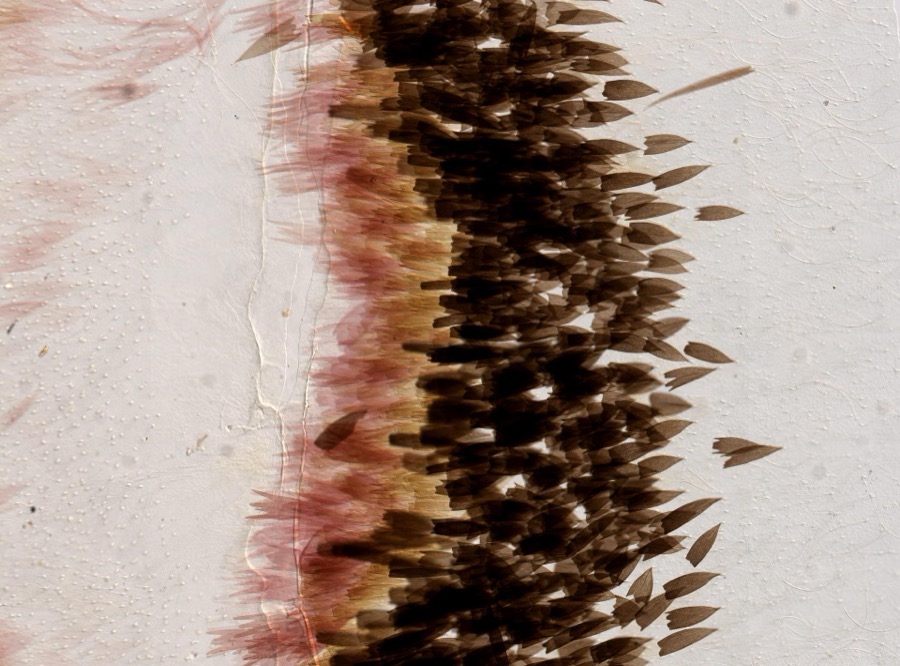
1975: 3,758 Animalia, 2,211 Plantae, 2,048 Fungi, 126 Chromista, 75 Protozoa, 11 Unrecorded. 12 distinct Species records are shown.
Collected by A. Allen, A. B. Seymour, A. Buckman and others. Each is a
physical object with a catalogue
number, and each entry opens the museum's record. This is what was
collected and kept, not a survey of what lives here - nothing can be
concluded from a species being absent.
Regional context, not property-specific
evidence. The federal mineral resources record lists
3 workings within 5 miles of Pelham Town Hall Historic District: 1 producer, 1 past producer, 1 occurrence.
1 still produces. What was taken out: Sand and Gravel, Construction, Asbestos, Emery, Iron. Distance is straight-line from the
map coordinates, so a quarry counted here may appear on a neighbouring
settlement's page as well.
Regional context, not property-specific
evidence. The National Weather Service names
Pelham, the town this property stands in, in 18 storm reports between 1995 and 2023: 9 thunderstorm wind, 6 hail, 3 lightning.
The reports record 2 injuries. Each account below is quoted exactly as the forecast office
filed it, from the NOAA Storm Events Database, and each date
opens the federal record of that event.
No historic map-sheet match is published
for this property yet. That does not mean no map exists. This record needs
a coordinate-quality review before it can be joined to a sheet boundary.
Browse the county's mapped places while that work is
pending.
From the nomination file
4,102 words on record
When this property was proposed for the
National Register, someone wrote the case for it: what the building is,
and why it matters. That document is a federal record in the public domain.
It is quoted below word for word, never summarised. The text was read off the scanned case file by machine, so the
occasional stray character is the recogniser's and the 1970s
typewriter's.
Statement of significance
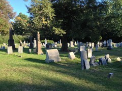
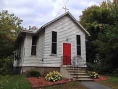
( Pelham Town Hall is the oldest Town Hall in continuous use in Massa- chusetts, Town Meetings having been held there from 1743 to the present. Only when Massachusetts adopted the Eleventh Article of Amendment to its Constitution in 1833 and thus separated Church and Town was there need of a church building separate from the Town Hall, and in 1839 was erected the present well-preserved Greek Revival Church. The area is also significant in having been the last major encampment of Daniel Shays' rebels before they dispersed under the pressure of winter weather and General Lincoln's pursuit. The district includes the monument to Shays, that native of Pelham and peaceful rebel, whose bloodless rebellion was a significant cause of the Philadelphia Convention that wrote the Federal Constitution.
The town hall, the church, the monument and the cemetary that provides a setting for these buildings along Route 202, the Daniel Shays Highway, form a Massachusetts State Landmark under the title, Pelham Town Hall Complex. RECENED 5 1971 NATIONAL REGISTER
Quoted from the National Register nomination
for reference 71000085, 19 pages, held by the National Archives in Record
Group 79. See the
catalogue record.
Listed places nearby
5 within 8 miles
Other National Register properties close
enough to walk or drive between, ordered by distance from this one. Both
positions come from the same geocoding pass that matched these properties
to their map sheets.
Listing record. National Park Service National Register of Historic Places, listed-properties dataset, current to 2026-05-22.
Map join. Address geocoded through the United States Census geocoder, then tested against the published boundary of every sheet in the USGS Historical Topographic Map Collection.
How this page is made. Listing fields come from federal records; map-sheet coverage is a labelled coordinate-to-boundary calculation, not a source-field claim.
Wildfire. Short, Karen C. 2022. Spatial wildfire occurrence data for the United States, 1992-2020 [FPA_FOD_20221014]. 6th Edition. Fort Collins, CO: Forest Service Research Data Archive. https://doi.org/10.2737/RDS-2013-0009.6 Collected with United States Government funding and usable without additional permissions or fees.
Specimens. Global Biodiversity Information Facility (GBIF), https://www.gbif.org/. Only records licensed CC0 or CC BY are used. Records licensed CC BY-NC are excluded because this site carries advertising. Images are checked individually and any whose licence is non-commercial, no-derivatives or unreadable is refused.
Mines and quarries. USGS Mineral Resources Data System (MRDS) https://mrdata.usgs.gov/mrds/ A work of the United States government, no copyright under 17 U.S.C. 105.
Storms. NOAA National Centers for Environmental Information, Storm Events Database https://www.ncei.noaa.gov/stormevents/ A work of the United States government, no copyright under 17 U.S.C. 105. Narratives are quoted verbatim from the National Weather Service report and are not edited or summarised.
 Block
Block