 Block
Block
Phillipsburg, Ohio
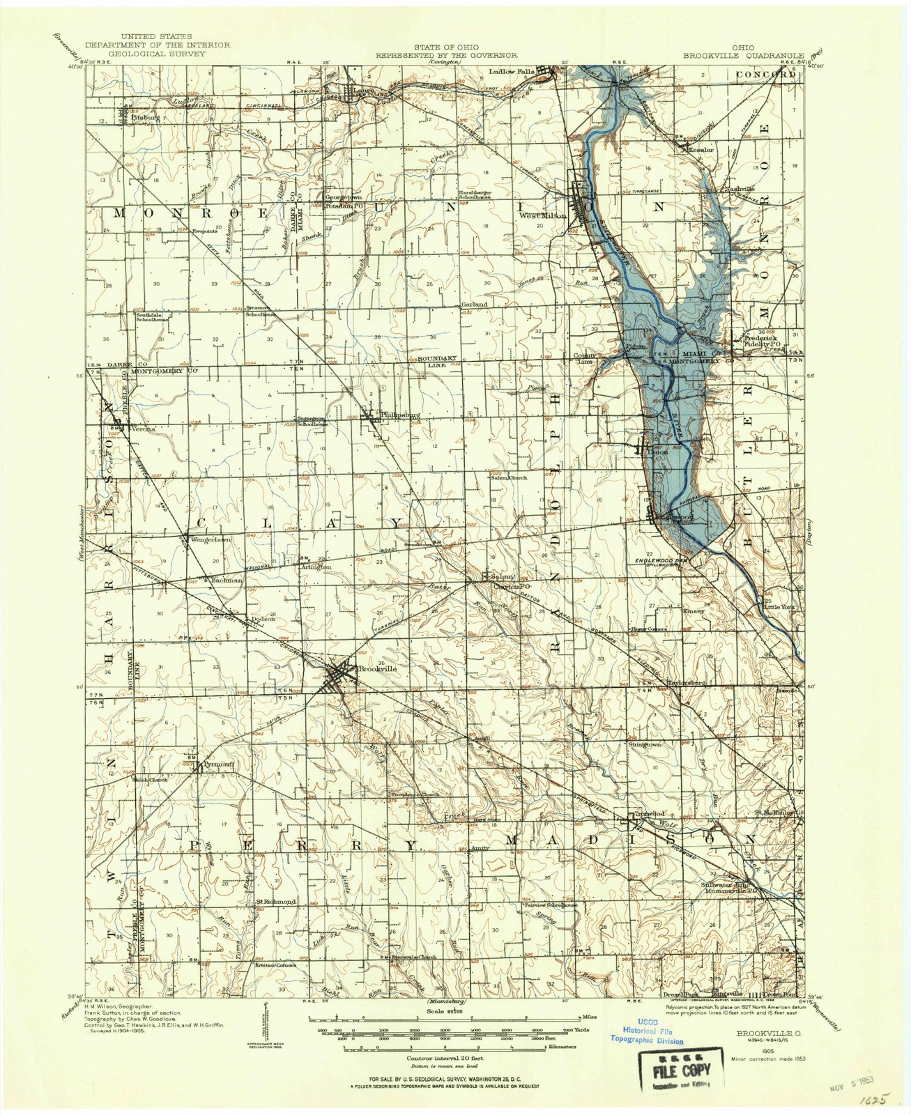
9 topographic sheets cover this place, the earliest surveyed in 1905 and the latest in 1986. It stands in Clay Township. It lies in ZIP code area 45354. The Survey maps it on the Laura quadrangle. 498 people lived here at the 2020 count. It stands 1,037 feet above sea level.
Population over time
2 figuresPhillipsburg fell from 557 to 498 between 2010 and 2020. These are the recorded population figures Wikidata holds for this place, reached through the Geographic Names Information System number this page is keyed on rather than by name, so they belong to this place and not to another of the same name. Most are census counts, but not all are: an early figure may be a founding or settlement estimate. The change column is computed, and is left blank where more than 20 years separate a figure from the one before it, because a gap that long is not a change between two counts.
| Year | People | Change |
|---|---|---|
| 2010 | 557 | |
| 2020 | 498 | -59 (-11%) |
Then and now
1905 to 1986The same ground, surveyed 81 years apart. Drag the handle to wipe between them. Both sheets are United States Geological Survey originals; neither has been altered.

Topographic sheets covering this place
9 sheetsMatched by testing this settlement's coordinate against the published boundary of every sheet in the United States Geological Survey's historical collection. Each opens the scanned sheet at the Survey.
- 1905 USGS Brookville quadrangle1:62500
- 1953 USGS Cincinnati quadrangle1:250000
- 1953 USGS Cincinnati quadrangle1:250000
- 1953 USGS Cincinnati quadrangle1:250000
- 1957 USGS Cincinnati quadrangle1:250000
- 1961 USGS Laura quadrangle1:24000
- 1961 USGS Laura quadrangle1:24000
- 1986 USGS Dayton quadrangle1:100000
- 1986 USGS Dayton quadrangle1:100000






In the county-history sources
18,834 words on this townshipThe History of Montgomery County, Ohio, Containing a History of the County;, published 1882 names this settlement in its chapter on Clay Township. These are the passages that mention it, exactly as the scans read.
There are here quite a number of villages, which follow in their chronological ler: Phillipsburg, situated in the northeastern part of the township, has a popi lion of 232. Ten lots were laid out by James Hanks, a surveyor, January :: 1836, for the proprietors, Philip Studybaker, John John, John Thomas and miah Thomas, and it derived the name of Phillipsbiug from Studybaker. j the year 1828, the Friends' meeting-house, before spoken of, was built here, ' n. Thomas was the first preacher. The denomination of Friends who here v rshiped are now of the events that "have been," the society having long s'ce disappeared. Peter Rhodebauch was a merchant in this vicinity in 1835. 1.8 post office was established in 1846, with Peter Smith as Postmaster. In )16, a schoolhouse was built, and in the same year the Rev. Elijah Willi ams i, as an expounder of the doctrines taught by the Christian denomination,
Passage source: The History of Montgomery County, Ohio, Containing a History of the County;, published 1882.
The population of Brookville, the principal village of the township, is 5( being a gain of 165 in the last decade. Of Phillipsburg it is 232, being a g< of 45 in the last ten years ; of South Arlington it is 149, being a gain 25 since 1870 ; of Dodson it is 77, being a gain of 30 in the last decade ; Bachman it is 66, being a loss of one in the last ten years. At this rate decline, this village will be " wiped out" of existence in 660 years ; of Wen^j Lawn, it is 41, a clear gain in the last ten years.
Passage source: The History of Montgomery County, Ohio, Containing a History of the County;, published 1882.
November 24, 1865; Henry, born September 2, 1865, and Rickey, May 9, 1867. j The following children have died, Frederick, Lucinda, and two who died in infancy. Mrs. Ortman and sis of her children are now living on the old homestead. They own 130 acres of land in Clay Township, well improved with a fine dwelling, substantial barn and other buildings. Mrs. Ortman and family are members of the Lutheran Church at jj Phillipsburg, Ohio.
Passage source: The History of Montgomery County, Ohio, Containing a History of the County;, published 1882.
Machine-read from a century-old scan, so expect the errors a machine makes: misspelled names, dropped words, stray characters.
Read the whole chapter on Clay Township - it names this place 8 more 8 times.
Specimens collected near this place
12 of 182 shownRegional context, not property-specific evidence. Museums hold 182 specimens collected within 10 miles of Phillipsburg between 1897 and 1972: 177 Animalia, 3 Plantae, 2 Fungi. 12 distinct Species records are shown. Collected by Allen, John, Arden R. Gaufin, BOYER AND DUELLMAN and others. Each is a physical object with a catalogue number, and each entry opens the museum's record. This is what was collected and kept, not a survey of what lives here - nothing can be concluded from a species being absent.
| Image | Species | Year | Collected by | Where, as recorded |
|---|---|---|---|---|
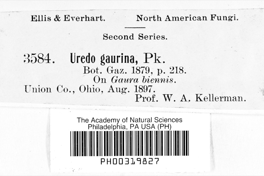 | Uredo | 1897 | Prof. W.A. Kellerman | |
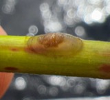 | Ferrissia rivularis (Say, 1817) | 1904 | Allen, John | Brookville |
 | Canthon laevis Bates, 1887 | 1929 | Hicks, L. E. (Lawrence Emerson) | Brookville, Montgomery Co., OH, Brookville, Montgomery, Ohio, United States |
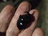 | Copris Geoffroy, 1762 | 1929 | Hicks, L. E. (Lawrence Emerson) | Brookville, Montgomery Co., OH, Brookville, Montgomery, Ohio, United States |
 | Onthophagus hecate (Panzer, 1794) | 1929 | Hicks, L. E. (Lawrence Emerson) | Brookville, Montgomery Co., OH, Brookville, Montgomery, Ohio, United States |
 | Campostoma anomalum anomalum | 1930 | MB Trautman | Wolf Creek, trib of the Miami River, center of Clay Twp. |
 | Catostomus commersonnii commersonnii (Lacepède, 1803) | 1930 | MB Trautman | Wolf Creek, trib of the Miami River, center of Clay Twp. |
 | Etheostoma blennioides blennioides Rafinesque, 1819 | 1930 | MB Trautman | Wolf Creek, trib of the Miami River, center of Clay Twp. |
 | Etheostoma caeruleum Storer, 1845 | 1930 | MB Trautman | Wolf Creek, trib of the Miami River, center of Clay Twp. |
 | Etheostoma flabellare Rafinesque, 1819 | 1930 | MB Trautman | Wolf Creek, trib of the Miami River, center of Clay Twp. |
 | Etheostoma nigrum Rafinesque, 1820 | 1930 | MB Trautman | Wolf Creek, trib of the Miami River, center of Clay Twp. |
 | Etheostoma spectabile (Agassiz, 1854) | 1930 | MB Trautman | Wolf Creek, trib of the Miami River, center of Clay Twp. |
All 182 specimens within 10 miles, at the Global Biodiversity Information Facility.
Mines and quarries near this place
2 within 5 milesRegional context, not property-specific evidence. The federal mineral resources record lists 2 workings within 5 miles of Phillipsburg: 1 past producer, 1 plant. 1 still produces. What was taken out: Limestone, General, Stone, Crushed/Broken. Distance is straight-line from the map coordinates, so a quarry counted here may appear on a neighbouring settlement's page as well.
| Where | Site | Commodity | Status | Recorded |
|---|---|---|---|---|
| Phillipsburg Quarry | Limestone, General | Past Producer | Sedimentary | |
| Phillipsburg-#421 | Stone, Crushed/Broken | Plant |
Storms near this place
2 since 2014Regional context, not property-specific evidence. The National Weather Service names Phillipsburg in 2 storm reports between 2014 and 2014: 1 tornado, 1 thunderstorm wind. No death or injury is recorded in these reports. Each account below is quoted exactly as the forecast office filed it, from the NOAA Storm Events Database, and each date opens the federal record of that event.
| When | Event | Place named | Harm | What the report says |
|---|---|---|---|---|
| February 2014 | Tornado (EF0) | Phillipsburg | $150,000 | The tornado touched down one tenth of a mile southeast of the intersection of Sweet Potato Ridge Road and Brookville Phillipsburg Road. The garage door of a residence there was blown in, leading to the removal of the roof and two walls of the garage. The roof was uplifted, flipped, and dropped in the yard immediately to the east. Several trees were also snapped in the yard immediately east of the garage. One of these trees was approximately 18 inches in diameter. The next damage location was approximately two tenths of a mile east of the intersection of Sweet Potato Ridge Road and Brookville Phillipsburg Road. A roof was partially removed from a residence on the south side of Sweet Potato Ridge Road, and blown slightly to the left of the direction of storm motion into a residence on the north side of the road. A combination of the debris and winds blew in two windows on a residence on the north side of Sweet Potato Ridge Road. Yard furniture was also lifted and carried over a tenth of a mile to the north-northeast. The tornado then removed a large portion of a barn roof on the west side of Pansing Road and carried it to the northwest, perpendicular to the direction of storm motion. Other roof debris was lifted and carried across to the east side of Pansing Road. The final damage that was observed before the tornado lifted was on Phillipsburg Union Road approximately one half mile east of the intersection with Pansing Road. This was another instance where debris from a barn was carried a short distance to the northwest of the storm motion. This debris included a portion of the roof and wood siding. Several pine trees about 8 inches in diameter were also snapped, uplifted, and dropped pointing into the direction of the storm motion. All of the damage along the path exhibited convergent motion, along with the noted distances of debris being deposited to the northwest of the original source structures. The maximum estimated wind speed based on the damage surveyed was 85 miles per hour. |
| May 2014 | Thunderstorm Wind | Phillipsburg | $7,000 | Several trees were downed, a barn door was destroyed, siding was damaged, and a mailbox was blown over due to thunderstorm winds. |
Nearest settlements
The eight closest, with where each one stands in the county. Distances are straight-line, computed from the Geographic Names Information System coordinates.
| Map | Place | Distance | Sheets |
|---|---|---|---|
| Swanktown | 2.6 miles | 10 | |
| Arlington | 2.9 miles | 10 | |
| Clayton | 3.6 miles | 13 | |
| Brookville Lakes Estates | 3.9 miles | 13 | |
| Wengerlawn | 4.0 miles | 10 | |
| Bachman | 4.1 miles | 10 | |
| Dodson | 4.3 miles | 10 | |
| Brookville | 4.7 miles | 10 |
Elsewhere
Matched on this settlement's Geographic Names Information System number rather than its name, so it cannot be a different place of the same name in another state.
| Wikipedia article on Phillipsburg | An encyclopaedic summary. Its text is share-alike, so it is linked here rather than copied. |
| Wikidata item Q2673173 | The structured record the population and elevation above come from. Public domain (CC0). |
Provenance
This settlement is recorded in the Geographic Names Information System as feature 1056916. The sheet list is computed by point-in-boundary test against the United States Geological Survey's historical topographic inventory. Both are works of the United States government and carry no copyright under 17 U.S.C. 105.
Specimens. Global Biodiversity Information Facility (GBIF), https://www.gbif.org/. Only records licensed CC0 or CC BY are used. Records licensed CC BY-NC are excluded because this site carries advertising. Images are checked individually and any whose licence is non-commercial, no-derivatives or unreadable is refused.
Mines and quarries. USGS Mineral Resources Data System (MRDS) https://mrdata.usgs.gov/mrds/ A work of the United States government, no copyright under 17 U.S.C. 105.
Storms. NOAA National Centers for Environmental Information, Storm Events Database https://www.ncei.noaa.gov/stormevents/ A work of the United States government, no copyright under 17 U.S.C. 105. Narratives are quoted verbatim from the National Weather Service report and are not edited or summarised.