 Block
Block
Pitchin, Ohio
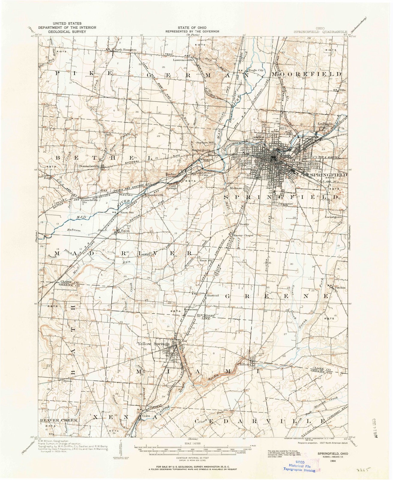
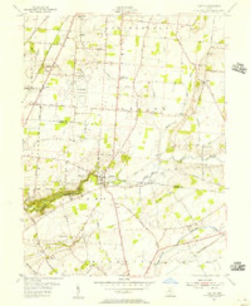
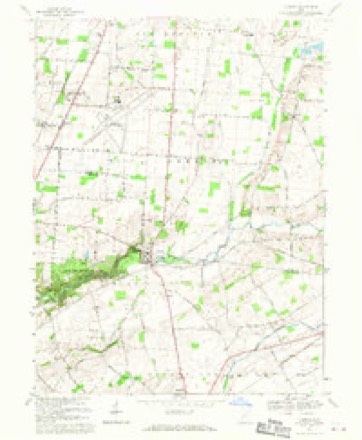
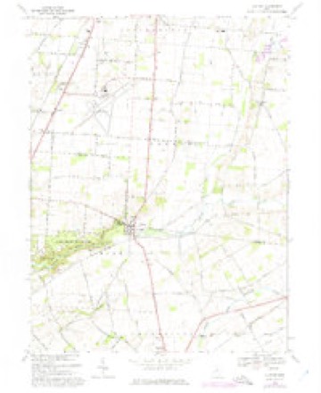
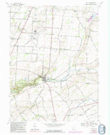
14 topographic sheets cover this place, the earliest surveyed in 1904 and the latest in 1986. It stands in Green Township. It lies in ZIP code area 45502. The Survey maps it on the Clifton quadrangle.
Then and now
1904 to 1986The same ground, surveyed 82 years apart. Drag the handle to wipe between them. Both sheets are United States Geological Survey originals; neither has been altered.

Topographic sheets covering this place
14 sheetsMatched by testing this settlement's coordinate against the published boundary of every sheet in the United States Geological Survey's historical collection. Each opens the scanned sheet at the Survey.
- 1904 USGS Springfield quadrangle1:62500
- 1904 USGS Springfield quadrangle1:62500
- 1906 USGS Springfield quadrangle1:62500
- 1947 USGS Columbus quadrangle1:250000
- 1954 USGS Clifton quadrangle1:24000
- 1961 USGS Columbus quadrangle1:250000
- 1962 USGS Columbus quadrangle1:250000
- 1967 USGS Columbus quadrangle1:250000
- 1967 USGS Columbus quadrangle1:250000
- 1968 USGS Clifton quadrangle1:24000
- 1968 USGS Clifton quadrangle1:24000
- 1968 USGS Clifton quadrangle1:24000
- 1986 USGS Springfield quadrangle1:100000
- 1986 USGS Springfield quadrangle1:100000







In the county-history sources
6,597 words on this townshipThe History of Clark County Ohio,, published 1881 names this settlement in its chapter on Green Township. These are the passages that mention it, exactly as the scans read.
An Anti-Slavery Methodist organization was effected in 1844 at known as the Wesleyan Church, which built a church on a lot given by David Littler, and, after a few years of good work, was abandoned. In this church in 1850 Rev. A. L. Rankin organized a Free Presbyterian Church. This organization, in 1852, built a frame church on a lot donated to it by John Hume., at Clifton, on a hill in Green Township, and in 1859 it was merged into a new organization of the United Presbyterian Church, with Rev. W. A. Campbell, Pastor, who acted 4s such for sixteen years. Since 1878, Rev. R. C. Wyatt has had pastoral care. In 1859, a fine brick church was built, and is warmed by means of the modern improvement - a furnace in the basement.
Passage source: The History of Clark County Ohio,, published 1881.
Machine-read from a century-old scan, so expect the errors a machine makes: misspelled names, dropped words, stray characters.
Specimens collected near this place
12 of 1,361 shownRegional context, not property-specific evidence. Museums hold 1,361 specimens collected within 10 miles of Pitchin between 1840 and 1975: 904 Animalia, 322 Plantae, 133 Fungi, 2 Unrecorded. 12 distinct Species records are shown. Collected by 73.7; J.H., ?, A JOHN and others. Each is a physical object with a catalogue number, and each entry opens the museum's record. This is what was collected and kept, not a survey of what lives here - nothing can be concluded from a species being absent.
| Image | Species | Year | Collected by | Where, as recorded |
|---|---|---|---|---|
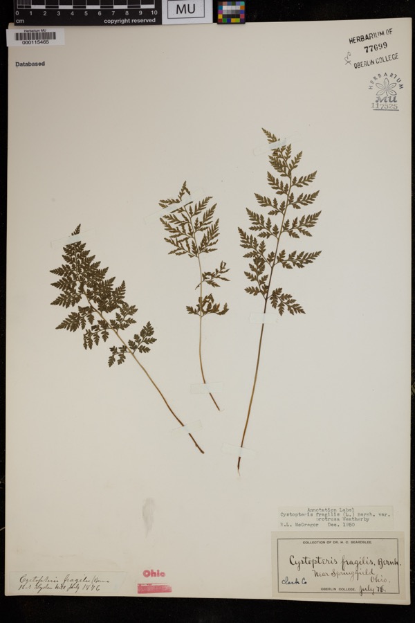 | Cystopteris protrusa (Weath.) Blasdell | 1878 | Beardslee, H.C. | near Springfield |
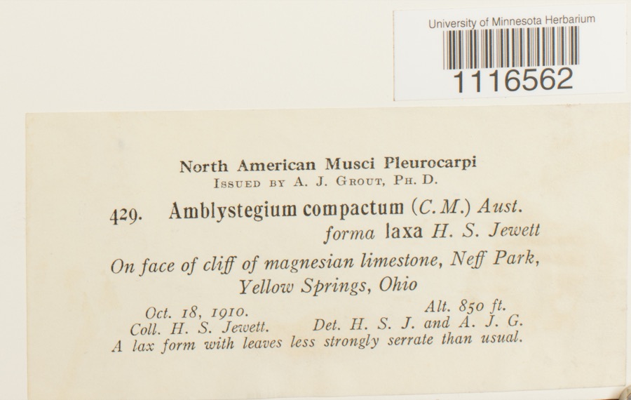 | Conardia compacta (Müll.Hal.) H.Rob. | 1910 | H.S. Jewett | Neff Park, Yellow Springs |
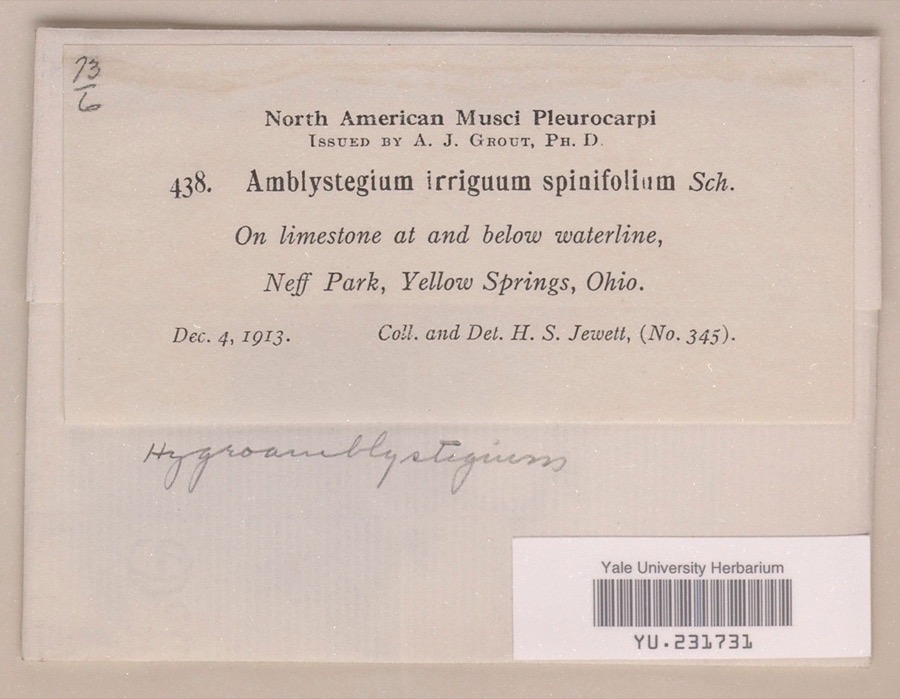 | Hygroamblystegium irriguum var. spinifolium Mönk. | 1913 | Henry S. Jewett | Neff Park |
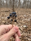 | Caulophyllum thalictroides (L.) Michx. | 1840 | Williams, M.G. | Springfield |
 | Staphylea trifolia L. | 1840 | Williams, M.G. | Springfield |
 | Funaria hygrometrica Hedw. | 1846 | not recorded | Springfield |
 | Bidens bipinnata L. | 1870 | J Y Bergen; T L Bergen | Yellow Springs |
 | Bryhnia graminicolor (Brid.) Grout | 1870 | J. W. Eckfeldt | near Springfield |
 | Bryum pseudotriquetrum var. bimum (Schreb.) Lilj. | 1870 | J. W. Eckfeldt | Springfield |
 | Hygroamblystegium tenax subsp. orthocladon (P.Beauv.) Wijk & Margad. | 1870 | J. W. Eckfeldt | Springfield |
 | Schwetschkeopsis denticulata (Sull.) Broth. | 1870 | J. W. Eckfeldt | Springfield |
 | Amblystegium serpens var. angustifolium H.Lindb. ex Limpr. | 1871 | H. J. Biddlecome | Springfield |
All 1,361 specimens within 10 miles, at the Global Biodiversity Information Facility.
Mines and quarries near this place
6 within 5 milesRegional context, not property-specific evidence. The federal mineral resources record lists 6 workings within 5 miles of Pitchin: 5 past producers, 1 producer. 1 still produces. What was taken out: Sand and Gravel, Construction. Distance is straight-line from the map coordinates, so a quarry counted here may appear on a neighbouring settlement's page as well.
| Where | Site | Commodity | Status | Recorded |
|---|---|---|---|---|
| Canal Winchester Plant | Sand and Gravel, Construction | Past Producer | Sedimentary | |
| Canal Winchester Plant | Sand and Gravel, Construction | Past Producer | ||
| Springfield Pit | Sand and Gravel, Construction | Past Producer | Sedimentary | |
| Springfield Pit | Sand and Gravel, Construction | Past Producer | ||
| Springfield Sand and Gravel Pit | Sand and Gravel, Construction | Past Producer | Sedimentary | |
| Springfield Sand and Gravel Pit | Sand and Gravel, Construction | Producer |
Storms near this place
4 since 2018Regional context, not property-specific evidence. The National Weather Service names Pitchin in 4 storm reports between 2018 and 2024: 2 tornado, 1 thunderstorm wind, 1 hail. The reports record 3 injuries. Each account below is quoted exactly as the forecast office filed it, from the NOAA Storm Events Database, and each date opens the federal record of that event.
| When | Event | Place named | Harm | What the report says |
|---|---|---|---|---|
| February 2024 | Tornado (EF2) | Pitchin | 3 hurt, $1,000,000 | The first known damage from this tornado was in a stand of trees southwest of Selma Pike. Additional tree damage was found on Selma Pike south of Shawnee High School, where several trees were snapped. The tornado then strengthened and broadened as it moved east-northeast, eventually reaching EF2 intensity as it crossed Mitchell Road, Ridge Rd, and Highway 41, where three homes had complete roof loss. Intermittent EF1 and EF2 damage, consisting of around a dozen barns and outbuildings destroyed and more homes with complete roof loss, then continued for around 10 miles before the tornado entered Madison County about 1.5 miles east of Brighton at 0506EST. The tornado ended in Madison County at 0515EST, 4 miles north northeast of London. |
| February 2019 | Tornado (EF0) | Pitchin | $40,000 | The first instance of damage was found along East Jackson Road,|where one tree was snapped. Damage continued along East Jackson|Road with an awning lifted off a house and lifted into a tree|behind the house. In addition, the gutter was pulled off the house|and was found lying over the roof. Approximately 200 yards to the|northeast of this damage, a barn was destroyed, with metal|roofing blown in multiple directions. Another larger barn lost a|wall due to wind damage.||Damage was also found to the northeast on Selma Pike where the|Pitchin Fire Department experienced minor roof damage exhibited by|numerous roof shingles blown off to the southeast of the|structure. An eyewitness at an adjacent residence stated he saw a|tornado cross over Selma Pike. Further northeast, damage was also|found along Old Springfield Road where two uprooted evergreen|trees were noted, and several large limbs had been tossed in|multiple directions.||On Limerick Road, one uprooted deciduous tree was observed. Then,|on East Pitchin Road between Ridge Road and Craig Road, a large|tree was snapped off.||Along Craig Road, a two story home lost multiple shingles, which|were found scattered across an adjacent field. In addition,|multiple second story soffit boards had been blown off. Further|down Craig Road, another residence had siding removed from the|storm and a large tree was blown down. Near where Craig Road|intersects with Old 70 Road, a barn was blown over, and metal|roofing was found scattered into neighboring property, including|one six foot piece found impaled into the siding of a house.||On Old 70 Road, multiple trees were blown down, and multiple roofing|shingles from a house were blown off. One of these shingles|was wedged into the window framing on the northeast-facing side of|the house. Along Fletcher Pike, a few trees were also observed to|be blown down.||The last damage seen along the track was on Newlove Road. Here, a|metal barn roof was lifted and thrown into an adjacent field. This|was the apparent end of the tornado. |
| May 2018 | Thunderstorm Wind | Pitchin | $1,000 | A tree was downed. |
| April 2020 | Hail | Pitchin | - | no account filed |
Nearest settlements
The eight closest, with where each one stands in the county. Distances are straight-line, computed from the Geographic Names Information System coordinates.
| Map | Place | Distance | Sheets |
|---|---|---|---|
| Crabill Road Farms | 2.5 miles | 15 | |
| Shawnee Acres | 3.0 miles | 15 | |
| Locustgrove | 3.1 miles | 15 | |
| Southridge | 3.6 miles | 15 | |
| Cheviot Hills | 3.6 miles | 15 | |
| Green Hedges | 3.7 miles | 15 | |
| Dolly Varden | 3.7 miles | 12 | |
| Cortsville | 3.9 miles | 12 |
Provenance
This settlement is recorded in the Geographic Names Information System as feature 1049086. The sheet list is computed by point-in-boundary test against the United States Geological Survey's historical topographic inventory. Both are works of the United States government and carry no copyright under 17 U.S.C. 105.
Specimens. Global Biodiversity Information Facility (GBIF), https://www.gbif.org/. Only records licensed CC0 or CC BY are used. Records licensed CC BY-NC are excluded because this site carries advertising. Images are checked individually and any whose licence is non-commercial, no-derivatives or unreadable is refused.
Mines and quarries. USGS Mineral Resources Data System (MRDS) https://mrdata.usgs.gov/mrds/ A work of the United States government, no copyright under 17 U.S.C. 105.
Storms. NOAA National Centers for Environmental Information, Storm Events Database https://www.ncei.noaa.gov/stormevents/ A work of the United States government, no copyright under 17 U.S.C. 105. Narratives are quoted verbatim from the National Weather Service report and are not edited or summarised.