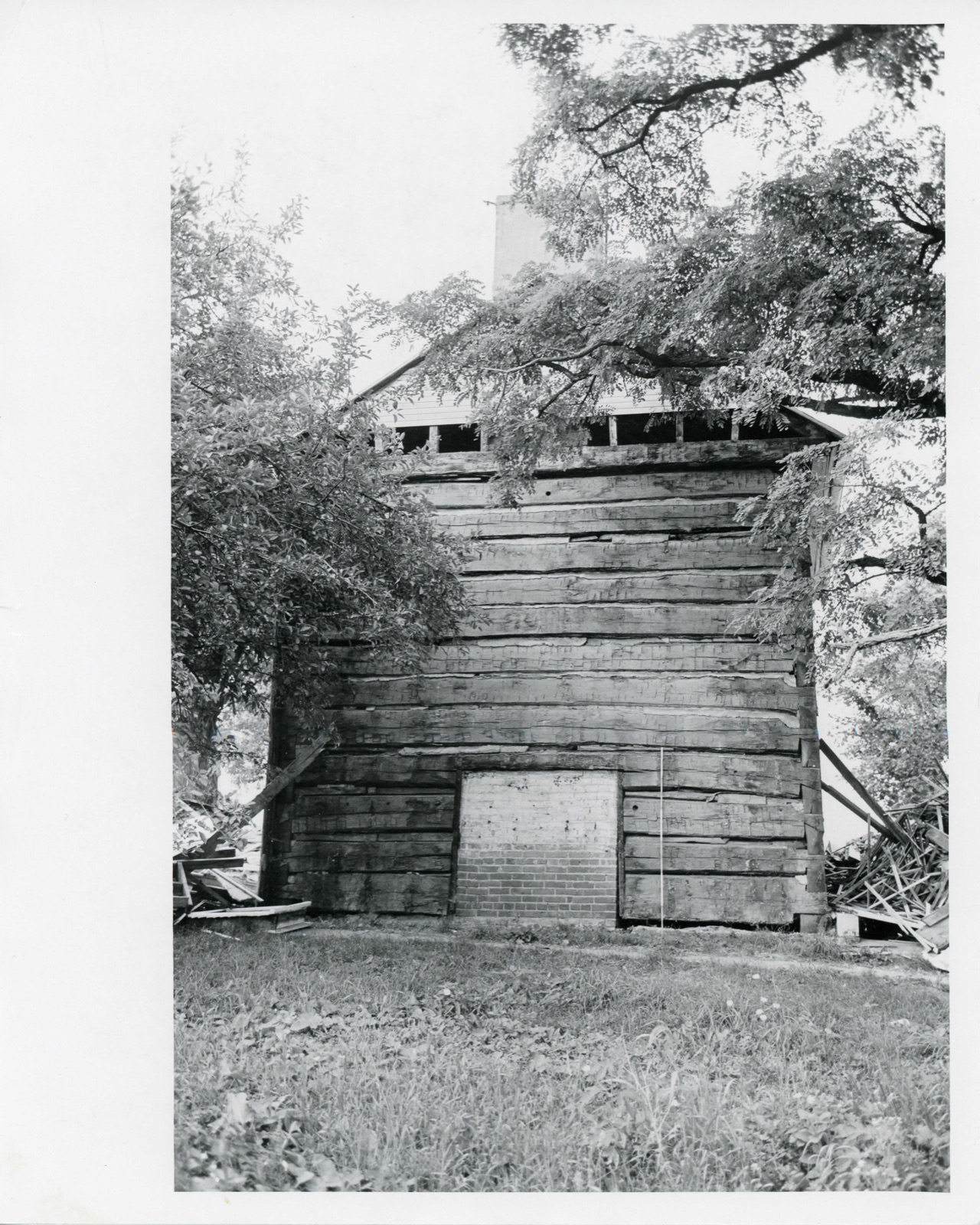
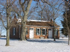
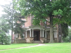
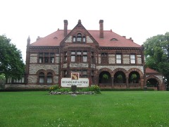
Photographs from the nomination case file, National Park Service records.
Brewer Log House
Listed on the National Register of Historic Places in
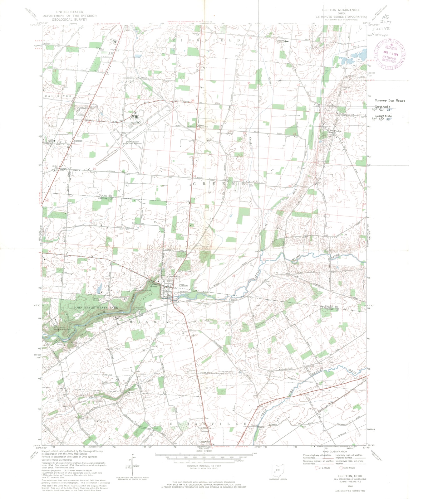
1974. A historic map-sheet match is not published yet. The record needs a coordinate-quality review before it can be joined to a sheet boundary.
From the record
“Its western portion is drained by branches of Mad River. while the Little Miami traverses the eastern part, passing in a southwesterly direction. The North Fork of the Little Miami empties into the Little Miami about two miles east of Clifton.”
The History of Clark County Ohio, (1881). Machine-read text.
one of 32 National Register listings in Clark County · listed in 1974 · category: Building.
National Register reference number.74001411- the number the National Park Service assigned this property when it was listed, and the key its nomination file is catalogued under at the National Archives.
The ground it stands on
6,597 words
The chapter on Green Township in The History of Clark County Ohio,, published 1881 names Springfield. This is what it says, exactly as the scans read.
This township lies immediately south of Springfield Township, and its entire southern line borders upon Greene County; on the east lies Madison Town ship, and on the west Mad River Township. It is composed of fractional Township 5, Range S, of lands between the Miami Rivers and six sections of Town ship 4, Range 8, and also of nearly 4,000 acres of the Virginia Military Reservation, and contains in all about 23,200 acres.
Among the other early settlers of Green were William: Barnes, on Section 33; George Weaver and George Hempleman. on Section 10; David and Thomas Littler, Robert Laing, Lewis Skillings (who lived but a short time in this township, moving across the line to Springfield Township), John Baldwin, Gideon and Charles Bloxam. Josiah Bates. William Marshall, John Wade, Wesley and Jackson Allen. John Nagley and James Mason, nearly all of whom were from Virginia, and came for the purpose of making a home in the then dense forest of Ohio. Those men must have had rare courage, to undertake such a task, and posterity will ever honor their memory.
Regional context, not property-specific
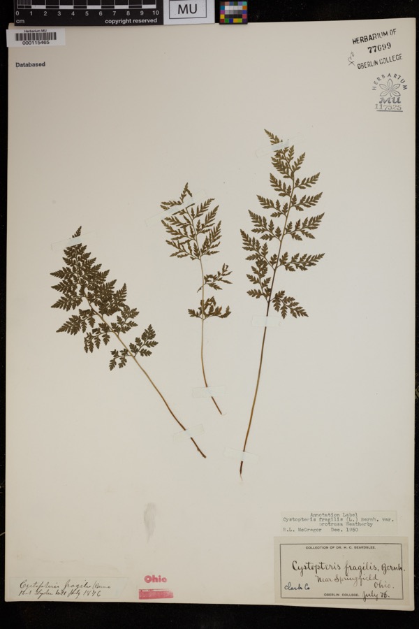
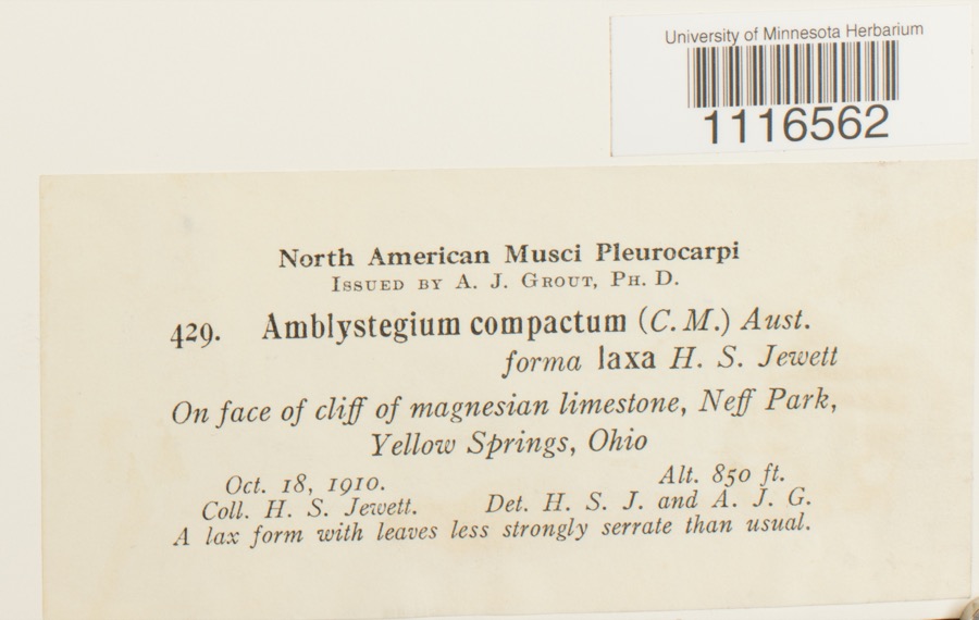
evidence. Museums hold 1,389 specimens
collected within 10 miles of Brewer Log House between 1840 and
1975: 932 Animalia, 322 Plantae, 133 Fungi, 2 Unrecorded. 12 distinct Species records are shown.
Collected by 73.7; J.H., ?, A JOHN and others. Each is a
physical object with a catalogue
number, and each entry opens the museum's record. This is what was
collected and kept, not a survey of what lives here - nothing can be
concluded from a species being absent.
Regional context, not property-specific
evidence. The federal mineral resources record lists
6 workings within 5 miles of Brewer Log House: 5 past producers, 1 producer.
1 still produces. What was taken out: Sand and Gravel, Construction. Distance is straight-line from the
map coordinates, so a quarry counted here may appear on a neighbouring
settlement's page as well.
Regional context, not property-specific
evidence. The National Weather Service names
Springfield, the town this property stands in, in 107 storm reports between 1994 and 2023: 56 thunderstorm wind, 31 hail, 10 flash flood, 4 flood.
The reports record 2 injuries. Each account below is quoted exactly as the forecast office
filed it, from the NOAA Storm Events Database, and each date
opens the federal record of that event.
Several utility poles were down, a barn was blown off of its foundation, and minor damage occurred to a house and an apartment due to damaging thunderstorm winds.
A tornado touched down along Moorefield Road, just to the east of State Route 4. Trees were either uprooted or snapped off towards their tops with additional large limbs down from other trees. Some minor structural damage occured as well along the 250 yard damage path. The tornado was rated EF-0 with top wind speeds of 70 mph.
A barn was blown over on Victory Road. Several trees and power lines were down on Sintz Road. In another location, a roof was peeled back due to damaging thunderstorm winds.
There was scattered damage at a mobile home park affecting four mobile homes. A metal carport was heavily damaged. Three evergreen trees were also downed.
Numerous 12 to 15 inch diameter trees were downed in Snyder Park. A tree fell on a house on Upper Valley Pike. Part of the roof was removed as a result.
Three to four inches of rain fell across southern Clark County as thunderstorms pushed slowly east during the late evening. A car was washed into a flooded ditch near the Springfield Airport along US 68. High water caused several road closures across the southern part of the county, with basements flooded on the south side of Springfield.
2 papers published in this town,
digitised by the Library of Congress and free to read: 0 issues,
0 pages. Every page is searchable, so a name or a street can be
looked for directly in what the town printed about itself at the time.
No historic map-sheet match is published
for this property yet. That does not mean no map exists. This record needs
a coordinate-quality review before it can be joined to a sheet boundary.
Browse the county's mapped places while that work is
pending.
From the nomination file
1,309 words on record
When this property was proposed for the
National Register, someone wrote the case for it: what the building is,
and why it matters. That document is a federal record in the public domain.
It is quoted below word for word, never summarised. The text was read off the scanned case file by machine, so the
occasional stray character is the recogniser's and the 1970s
typewriter's.
Description of the property
entire history, the wall logs are in sound condition. The steeple notch being universal before that time, and 2) the Originally, as now, the house was entered through a central doors, to the west, is a partition wall with central door opening into a smaller room which served as a kitchen. kitchen was a small bedroom with fireplace, the partition wall APR_4 1 1974 CONDITION Excellent REGISTER NATIONAL having apparently been centered over the lower partition.
construction technique allowed a wide overhanging eave line well drained and has had good maintenance for apparently its room contains a fireplace and corner stairwell..Above the The basic alterations affecting Fair The Brewer log house has had its two frame additions and logs are half-dovetailed at the corners which in Ohio means fall well within the range of restoration. in which the eaves were formed, more common to brick or stone the west gable;2) One window enlarged into a doorway, second and plastered. door was a rear door leading to outbuildings and a barn. was common with steeple notched houses after ca 1825.The the log structure are:i) One doorway cut for an addition on (Check One) with a minimum of framing: Good on the ends of the joists rather than the plates.
This The remaining large bedroom, and joists, rafters, sheathing, and flooring were cut by a vertical Both This These alterations RECEIVED fireplace, would have been the same size as the living room on and overhang the plate logs;and the rafters bear directly siding removed. Because the building stands cn a knoll and is that 1) the house was most certainly built after ca i825,the PERIOD (Check One or More as Appropriate) - Pre-Columbian | - 20th Century SPECIFIC DATE(S) (If Applicable and Known) 1834 - Urban Planning - Other (Specify) STATEMENT OF
Statement of significance
Iew are worth restoration due to factors of condition, site, period of time, and in a geographical location, that laic The choice was a substantial log, rather than trame APR 1 11974 SIGNIFICANCE Commerce Conservation Engineering losophy Aboriginal Communications Transportation Music Literature Theater Religion/Phi Prehistoric Science itarian REGISTER Agriculture NATIONAL Landscape Invention Education Sculpture Political That the house proved successful to the original and later no restrictions on house design or technique of construction.
The Brewer house is representative of Ohio vernacular Military The fact that four fireplaces were provided reflects a sense thousand log houses,of all periods,standing in the state, Industry of the l9th century and that it is in sound enough condition owners is shown by the careful alterations it received. of comfort not always associated with earlier log houses. architecture at its best in terms of log construction. Social/Human- or owner attitude. Art The Brewer house was built during a Though there are still several The Significance of the Brewer log house is, simply,that to permit restoration.T brick or stone, house (considerations of cost Ohio Historz, vol. 80, no's 3-4 (Summer, Autumn, 1972).
Quoted from the National Register nomination
for reference 74001411, 10 pages, held by the National Archives in Record
Group 79. See the
catalogue record.
Listed places nearby
6 within 8 miles
Other National Register properties close
enough to walk or drive between, ordered by distance from this one. Both
positions come from the same geocoding pass that matched these properties
to their map sheets.
Listing record. National Park Service National Register of Historic Places, listed-properties dataset, current to 2026-05-22.
Map join. Address geocoded through the United States Census geocoder, then tested against the published boundary of every sheet in the USGS Historical Topographic Map Collection.
How this page is made. Listing fields come from federal records; map-sheet coverage is a labelled coordinate-to-boundary calculation, not a source-field claim.
Specimens. Global Biodiversity Information Facility (GBIF), https://www.gbif.org/. Only records licensed CC0 or CC BY are used. Records licensed CC BY-NC are excluded because this site carries advertising. Images are checked individually and any whose licence is non-commercial, no-derivatives or unreadable is refused.
Mines and quarries. USGS Mineral Resources Data System (MRDS) https://mrdata.usgs.gov/mrds/ A work of the United States government, no copyright under 17 U.S.C. 105.
Storms. NOAA National Centers for Environmental Information, Storm Events Database https://www.ncei.noaa.gov/stormevents/ A work of the United States government, no copyright under 17 U.S.C. 105. Narratives are quoted verbatim from the National Weather Service report and are not edited or summarised.
 Block
Block