 Block
Block
Pitsburg, Ohio
9 topographic sheets cover this place, the earliest surveyed in 1905 and the latest in 1986. It stands in Monroe Township. It lies in ZIP code area 45358. The Survey maps it on the Laura quadrangle. 381 people lived here at the 2020 count. It stands 1,024 feet above sea level.
Population over time
2 figuresPitsburg fell from 388 to 381 between 2010 and 2020. These are the recorded population figures Wikidata holds for this place, reached through the Geographic Names Information System number this page is keyed on rather than by name, so they belong to this place and not to another of the same name. Most are census counts, but not all are: an early figure may be a founding or settlement estimate. The change column is computed, and is left blank where more than 20 years separate a figure from the one before it, because a gap that long is not a change between two counts.
| Year | People | Change |
|---|---|---|
| 2010 | 388 | |
| 2020 | 381 | -7 (-2%) |
Then and now
1905 to 1986The same ground, surveyed 81 years apart. Drag the handle to wipe between them. Both sheets are United States Geological Survey originals; neither has been altered.

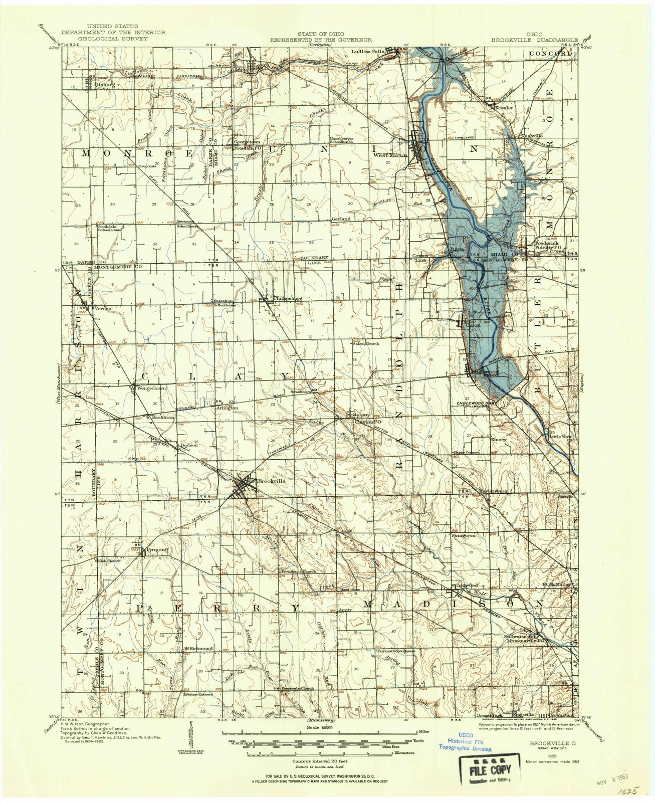
Compare 1905 against another survey:
Topographic sheets covering this place
9 sheetsMatched by testing this settlement's coordinate against the published boundary of every sheet in the United States Geological Survey's historical collection. Each opens the scanned sheet at the Survey.
- 1905 USGS Brookville quadrangle1:62500
- 1953 USGS Cincinnati quadrangle1:250000
- 1953 USGS Cincinnati quadrangle1:250000
- 1953 USGS Cincinnati quadrangle1:250000
- 1957 USGS Cincinnati quadrangle1:250000
- 1961 USGS Laura quadrangle1:24000
- 1961 USGS Laura quadrangle1:24000
- 1986 USGS Dayton quadrangle1:100000
- 1986 USGS Dayton quadrangle1:100000






In the 1880 county history
22,166 words on this townshipThe county history of 1880 has no passage naming this settlement, which was common for the smaller places. Its township is covered in full.
The chapter on Monroe Township covers the township.
Read the chapter on Monroe Township - 22,166 words.
Specimens collected nearby
12 of 47 shownMuseums hold 47 specimens collected within 10 miles of Pitsburg between 1838 and 1969: 36 Animalia, 6 Plantae, 4 Fungi, 1 Chromista. 12 distinct Species records are shown. Collected by Andrew R. Moldenke, BROWN CROFT DUELLMAN AND MCCLELLAND, Bube, O. E. (Ohmer E.) and others. Each is a physical object with a catalogue number, and each entry opens the museum's record. This is what was collected and kept, not a survey of what lives here - nothing can be concluded from a species being absent.
| Image | Species | Year | Collected by | Where, as recorded |
|---|---|---|---|---|
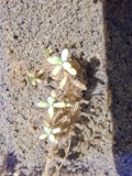 | Callitriche palustris L. | 1838 | Short, C.W. | Lexington, Kentucky. |
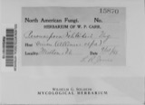 | Peronospora destructor (Berk.) Casp. ex Berk. | 1883 | Collector unspecified | Ithaca |
 | Etheostoma caeruleum Storer, 1845 | 1905 | Clark, C. F. (Clarence F.) | Prairie Outlet, Sec 28 of Neave township, ~0.3 mi NE of Wayne Lakes Park, Neave township |
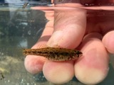 | Etheostoma microperca Jordan & Gilbert, 1888 | 1905 | Clark, C. F. (Clarence F.) | Prairie Outlet, Sec 28 of Neave township, ~0.3 mi NE of Wayne Lakes Park, Neave township |
 | Fomes lobatus Cooke | 1911 | Overholts L. O. | Gettysburg |
 | Macrolepiota procera (Scop.) Singer | 1911 | Overholts | Gettysburg |
 | Polyporus zonalis Berk. | 1911 | Overholts L. O. | Gettysburg |
 | Poria undata (Pers.) Quél. | 1911 | Overholts L. O. | Gettysburg |
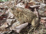 | Bufo americanus Holbrook, 1836 | 1929 | Walker, C. F. (Charles F.) | Gettysburg, Darke Co., Ohio |
 | Rana clamitans Latreille, 1801 | 1929 | Walker, C. F. (Charles F.) & Trautman, M. B. (Milton Bernard) | Gettysburg, Darke Co., Ohio |
 | Rana pipiens Schreber, 1782 | 1929 | Walker, C. F. (Charles F.) & Trautman, M. B. (Milton Bernard) | Gettysburg, Darke Co., Ohio |
 | Etheostoma spectabile (Agassiz, 1854) | 1930 | Trautman, M. B. (Milton Bernard) & Foster, R. (Robert) | Mud Creek, within Neave township, near Wayne Lakes Park, Neave township |
All 47 specimens within 10 miles, at the Global Biodiversity Information Facility.
Storms nearby
12 since 1999The National Weather Service names Pitsburg in 12 storm reports between 1999 and 2025: 7 thunderstorm wind, 3 tornado, 1 flash flood, 1 hail. No death or injury is recorded in these reports. Each account below is quoted exactly as the forecast office filed it, from the NOAA Storm Events Database, and each date opens the federal record of that event.
| When | Event | Place named | Harm | What the report says |
|---|---|---|---|---|
| May 2019 | Tornado (EF1) | Pitsburg | $50,000 | Damage from this tornado is believed to have begun near the intersection of Schnorf-Jones Road and Stocker Road in Darke County, just over a mile southeast of Pitsburg. From here, the tornado traveled east, affecting West River Red Grove Road. Damage along these roads was generally limited to trees. The tornado crossed into Miami County at 2128EST along Hall Road, about 4 miles east of Pitsburg. The tornado continued to move east across Miami County, eventually ending at 2144EST, about 4 miles southwest of Troy. While the tornado produced low-end EF3 damage in Miami County, the maximum strength in Darke County was consistent with EF1 damage and the maximum tornado width was about 1200 yards. |
| March 2016 | Tornado (EF0) | Pitsburg | $20,000 | The first evidence of damage occurred north of Stocker Road just east of the intersection with Schnorf-Jones Road. A few trees were downed in this location with some light debris noted along the tree line about 350 feet north of Stocker Road.||Additional damage was noted at a residence on the northeast corner of the intersection of Oakes Road and Schnorf-Jones Road. A stone chimney on the house was heavily damaged. A few panels of metal roofing on the house were completely removed. A metal barn roof at this location was also partially peeled up to the west.||Light debris from the above location was spread about a quarter mile to the north with some evidence of very minor damage at an adjacent property just south of a line of trees. Beyond this line of trees, which had some depositing of light debris, there was no further damage observed. |
| December 2015 | Thunderstorm Wind | Pitsburg | $16,000 | The roof was blown off a building, along with numerous large trees being knocked down onto roadways and power lines. |
| July 2003 | Flash Flood | Pitsburg | $15,000 | The Franklin-Monroe school sustained basement flooding, with water up to five feet deep in spots. |
| May 2022 | Thunderstorm Wind | Pitsburg | $10,000 | A few trees were downed. The roof of a post office was damaged and a power pole was also downed. |
| June 2021 | Thunderstorm Wind | Pitsburg | $10,000 | A tree fell on a house in Pitsburg. |
| February 1999 | Thunderstorm Wind | Pitsburg | $10,000 | A barn was blown down by the thunderstorm winds. |
| December 2015 | Tornado (EF0) | Pitsburg | $6,000 | A damage survey conducted near Ohio Route 49 east of Arcanum, confirmed that an EF0 tornado briefly touched down and lifted up the roof of a large metal building, lofting a portion of the roof onto a nearby car and scattering debris along the property. |
| May 1999 | Thunderstorm Wind | Pitsburg | $5,000 | Several trees were blown down on State Route 49. |
| June 2008 | Hail | Pitsburg | $3,000 | no account filed |
| May 2010 | Thunderstorm Wind | Pitsburg | $2,000 | Trees and power poles were reported down. |
| July 2025 | Thunderstorm Wind | Pitsburg | $1,000 | A tree was downed. |
Nearest settlements
The eight closest, with where each one stands in the county. Distances are straight-line, computed from the Geographic Names Information System coordinates.
| Map | Place | Distance | Sheets |
|---|---|---|---|
| Miller Grove | 1.8 miles | 13 | |
| Midway | 2.5 miles | 9 | |
| Fourmans Corners | 2.8 miles | 12 | |
| Painter Creek | 3.5 miles | 13 | |
| Arcanum | 3.5 miles | 8 | |
| Steel Point | 3.9 miles | 12 | |
| Gordon | 4.1 miles | 8 | |
| Landis | 4.7 miles | 12 |
Elsewhere
Matched on this settlement's Geographic Names Information System number rather than its name, so it cannot be a different place of the same name in another state.
| Wikipedia article on Pitsburg | An encyclopaedic summary. Its text is share-alike, so it is linked here rather than copied. |
| Wikidata item Q523692 | The structured record the population and elevation above come from. Public domain (CC0). |
Provenance
This settlement is recorded in the Geographic Names Information System as feature 1084103. The sheet list is computed by point-in-boundary test against the United States Geological Survey's historical topographic inventory. Both are works of the United States government and carry no copyright under 17 U.S.C. 105.
Specimens. Global Biodiversity Information Facility (GBIF), https://www.gbif.org/. Only records licensed CC0 or CC BY are used. Records licensed CC BY-NC are excluded because this site carries advertising. Images are checked individually and any whose licence is non-commercial, no-derivatives or unreadable is refused.
Storms. NOAA National Centers for Environmental Information, Storm Events Database https://www.ncei.noaa.gov/stormevents/ A work of the United States government, no copyright under 17 U.S.C. 105. Narratives are quoted verbatim from the National Weather Service report and are not edited or summarised.