 Block
Block
Painter Creek, Ohio
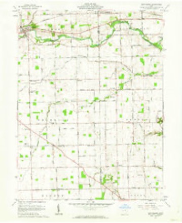
13 topographic sheets cover this place, the earliest surveyed in 1911 and the latest in 1986. It stands in Franklin Township. It lies in ZIP code area 45304. The Survey maps it on the Gettysburg quadrangle.
Then and now
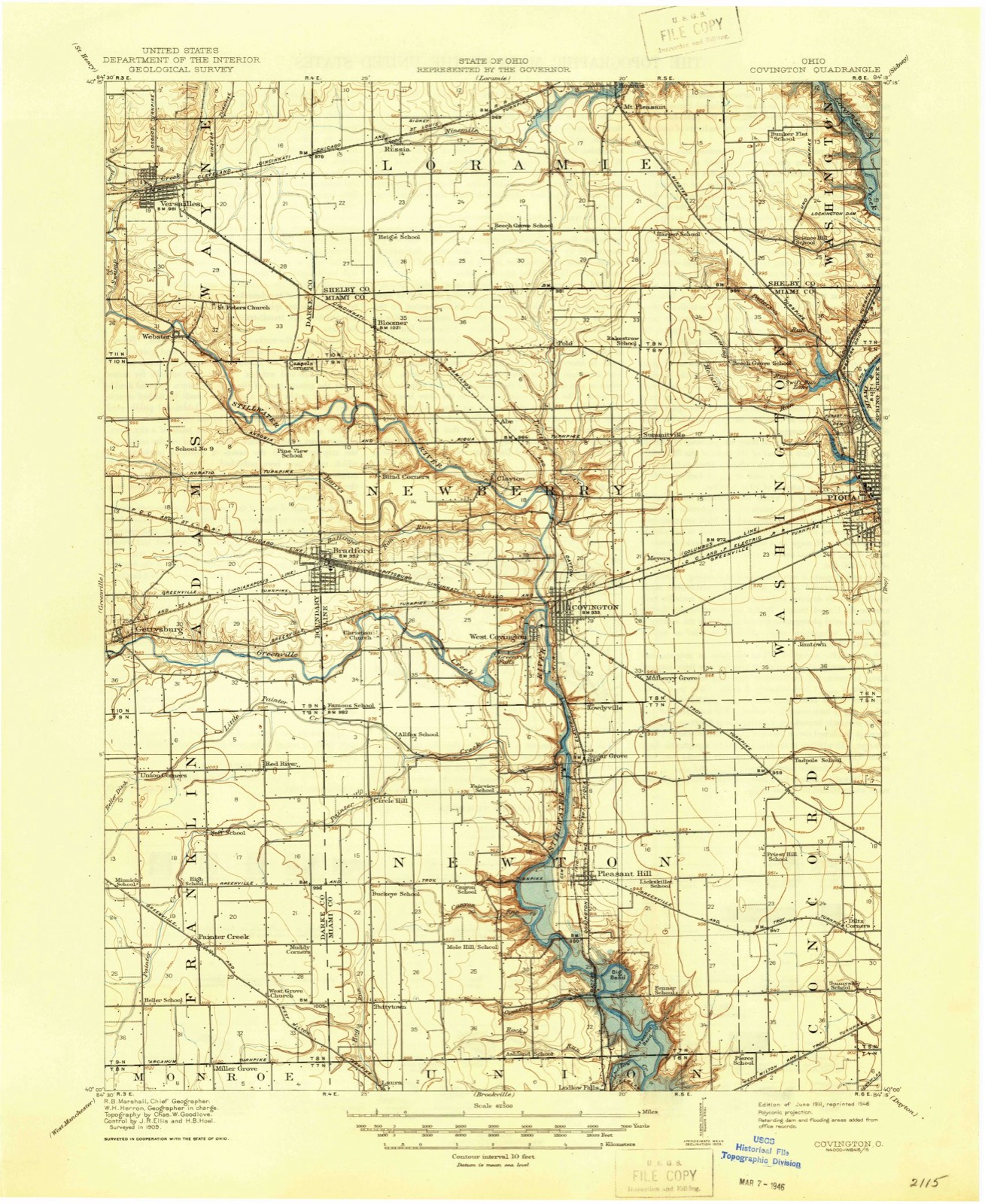
1911 to 1986The same ground, surveyed 75 years apart. Drag the handle to wipe between them. Both sheets are United States Geological Survey originals; neither has been altered.

Compare 1911 against another survey:
Topographic sheets covering this place
13 sheetsMatched by testing this settlement's coordinate against the published boundary of every sheet in the United States Geological Survey's historical collection. Each opens the scanned sheet at the Survey.
- 1911 USGS Covington quadrangle1:62500
- 1944 USGS Covington quadrangle1:62500
- 1953 USGS Muncie quadrangle1:250000
- 1953 USGS Muncie quadrangle1:250000
- 1953 USGS Muncie quadrangle1:250000
- 1953 USGS Muncie quadrangle1:250000
- 1953 USGS Muncie quadrangle1:250000
- 1956 USGS Muncie quadrangle1:250000
- 1961 USGS Gettysburg quadrangle1:24000
- 1961 USGS Gettysburg quadrangle1:24000
- 1986 USGS Piqua quadrangle1:100000
- 1986 USGS Piqua quadrangle1:100000
- 1986 USGS Piqua quadrangle1:100000









In the county-history sources
9,314 words on this townshipThe History of Darke County, Ohio, Containing a History of the County; Its Cities, Towns, Etc.; General and Local Statistics; Portraits of Early Settlers and Prominent Men;, published 1880 names this settlement in its chapter on Franklin Township. These are the passages that mention it, exactly as the scans read.
The soil is extremely fertile, and is composed of a rich alluvial formation of well-nigh inexhaustive durability. Formerly, it was very wet. but has now been nearly all reclaimed by general and thorough drainage. The principal stream is Painter Creek, which flows diagonally across the township. Entering in the southwest corner, it trends to the northeast till it reaches the northeast corner of Section 18, whence it takes an almost due east course, passing out of the township in the southeast corner of Section it. This, with its tributaries, constitutes the central drainage system of the town. The northern part is drained by tributaries of Greenville Creek, and the southeastern by tributaries to the Stillwater.
Passage source: The History of Darke County, Ohio, Containing a History of the County; Its Cities, Towns, Etc.; General and Local Statistics; Portraits of Early Settlers and Prominent Men;, published 1880.
JOSEPH GBOFF, minister and fanner; P. O. Painter Creek, Ohio. The subject of this memoir was born in Pennsylvania in October, 183(5. and is a son of Abraham and Nancy Grofi* who are natives of Pennsylvania, and removed to Ohio in 1849 ; his lather died in 1870, aged 67 years ; his mother is living and resides in Miami Co. Our subject was raised on the farm, and assisted his father in agricultural pursuits, and in the mean time learned the carpenter trade ; he came to Darke Co. in 1873 ; he owns 80 acres of land in Wabash Township, where he contemplates making his future home. His marriage with Miss Catherine Reran was consummated June 27, 1858 ; she departed this life September 10 of the same year: he celebrated his second marriage, with Mary Shoo in November, 1850 . they are the parents of six children, of whom all are living, viz.: Allie C. William II.. Charles. Burton, Katie . I. and Anna B.; he has been connected with the German Baptist Church for twenty-one years, and he has labored in the ministry for six years.
Passage source: The History of Darke County, Ohio, Containing a History of the County; Its Cities, Towns, Etc.; General and Local Statistics; Portraits of Early Settlers and Prominent Men;, published 1880.
Machine-read from a century-old scan, so expect the errors a machine makes: misspelled names, dropped words, stray characters.
Read the whole chapter on Franklin Township - it names this place 7 more 7 times.
Specimens collected near this place
12 of 114 shownRegional context, not property-specific evidence. Museums hold 114 specimens collected within 10 miles of Painter Creek between 1838 and 1964: 92 Animalia, 14 Fungi, 7 Plantae, 1 Chromista. 12 distinct Species records are shown. Collected by A. F. C.; Stover, W. G., Andrew R. Moldenke, BROWN CROFT DUELLMAN AND MCCLELLAND and others. Each is a physical object with a catalogue number, and each entry opens the museum's record. This is what was collected and kept, not a survey of what lives here - nothing can be concluded from a species being absent.
| Image | Species | Year | Collected by | Where, as recorded |
|---|---|---|---|---|
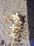 | Callitriche palustris L. | 1838 | Short, C.W. | Lexington, Kentucky. |
 | Peronospora destructor (Berk.) Casp. ex Berk. | 1883 | Collector unspecified | Ithaca |
 | Dispira americana Thaxt. | 1895 | Rush W. H. | Greenville |
 | Clitocybe multiceps Peck | 1906 | H.J. Brememan | Greenville |
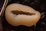 | Peziza vesiculosa Bull. | 1907 | Lucas, C | Greenville |
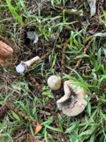 | Amanita phalloides (Vaill. ex Fr.) Secr. | 1909 | A. F. C.; Stover, W. G. | Greenville |
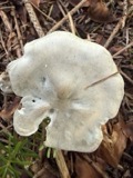 | Clitocybe odora (Bull.) P.Kumm. | 1909 | Stover, W. G. | Greenville |
 | Panaeolus solidipes (Peck) Sacc. | 1909 | Stover, W. G. | Greenville |
 | Fomes lobatus Cooke | 1911 | Overholts L. O. | Gettysburg |
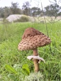 | Macrolepiota procera (Scop.) Singer | 1911 | Overholts | Gettysburg |
 | Polyporus zonalis Berk. | 1911 | Overholts L. O. | Gettysburg |
 | Poria undata (Pers.) Quél. | 1911 | Overholts L. O. | Gettysburg |
All 114 specimens within 10 miles, at the Global Biodiversity Information Facility.
Nearest settlements
The eight closest, with where each one stands in the county. Distances are straight-line, computed from the Geographic Names Information System coordinates.
| Map | Place | Distance | Sheets |
|---|---|---|---|
| Miller Grove | 2.0 miles | 13 | |
| Landis | 2.2 miles | 12 | |
| Fourmans Corners | 2.8 miles | 12 | |
| Union Corners | 3.2 miles | 13 | |
| Red River | 3.3 miles | 13 | |
| Pitsburg | 3.5 miles | 9 | |
| Nineveh | 4.1 miles | 12 | |
| Steel Point | 4.3 miles | 12 |
Provenance
This settlement is recorded in the Geographic Names Information System as feature 1066130. The sheet list is computed by point-in-boundary test against the United States Geological Survey's historical topographic inventory. Both are works of the United States government and carry no copyright under 17 U.S.C. 105.
Specimens. Global Biodiversity Information Facility (GBIF), https://www.gbif.org/. Only records licensed CC0 or CC BY are used. Records licensed CC BY-NC are excluded because this site carries advertising. Images are checked individually and any whose licence is non-commercial, no-derivatives or unreadable is refused.