 Block
Block
Plainville, Ohio
19 topographic sheets cover this place, the earliest surveyed in 1898 and the latest in 1996. It stands in Columbia Township. It lies in ZIP code area 45227. It stands on Dry Run. The Survey maps it on the Madeira quadrangle. 120 people lived here at the 2020 count. It stands 1,637 feet above sea level.
Population over time
2 figuresPlainville grew from 87 to 120 between 2010 and 2020. These are the recorded population figures Wikidata holds for this place, reached through the Geographic Names Information System number this page is keyed on rather than by name, so they belong to this place and not to another of the same name. Most are census counts, but not all are: an early figure may be a founding or settlement estimate. The change column is computed, and is left blank where more than 20 years separate a figure from the one before it, because a gap that long is not a change between two counts.
| Year | People | Change |
|---|---|---|
| 2010 | 87 | |
| 2020 | 120 | +33 (+38%) |
Then and now
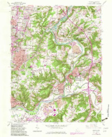
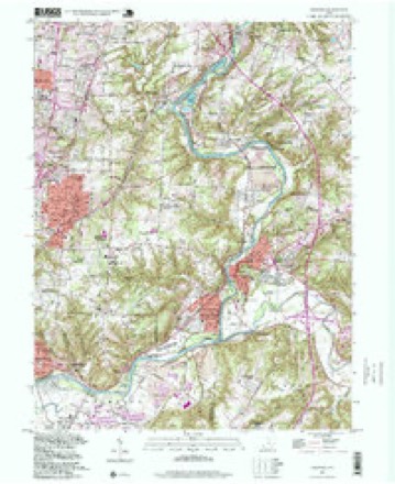
1898 to 1996The same ground, surveyed 98 years apart. Drag the handle to wipe between them. Both sheets are United States Geological Survey originals; neither has been altered.
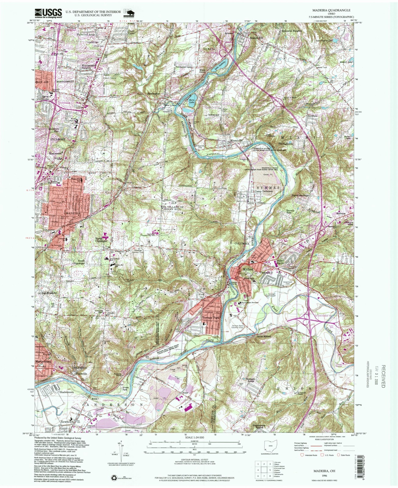
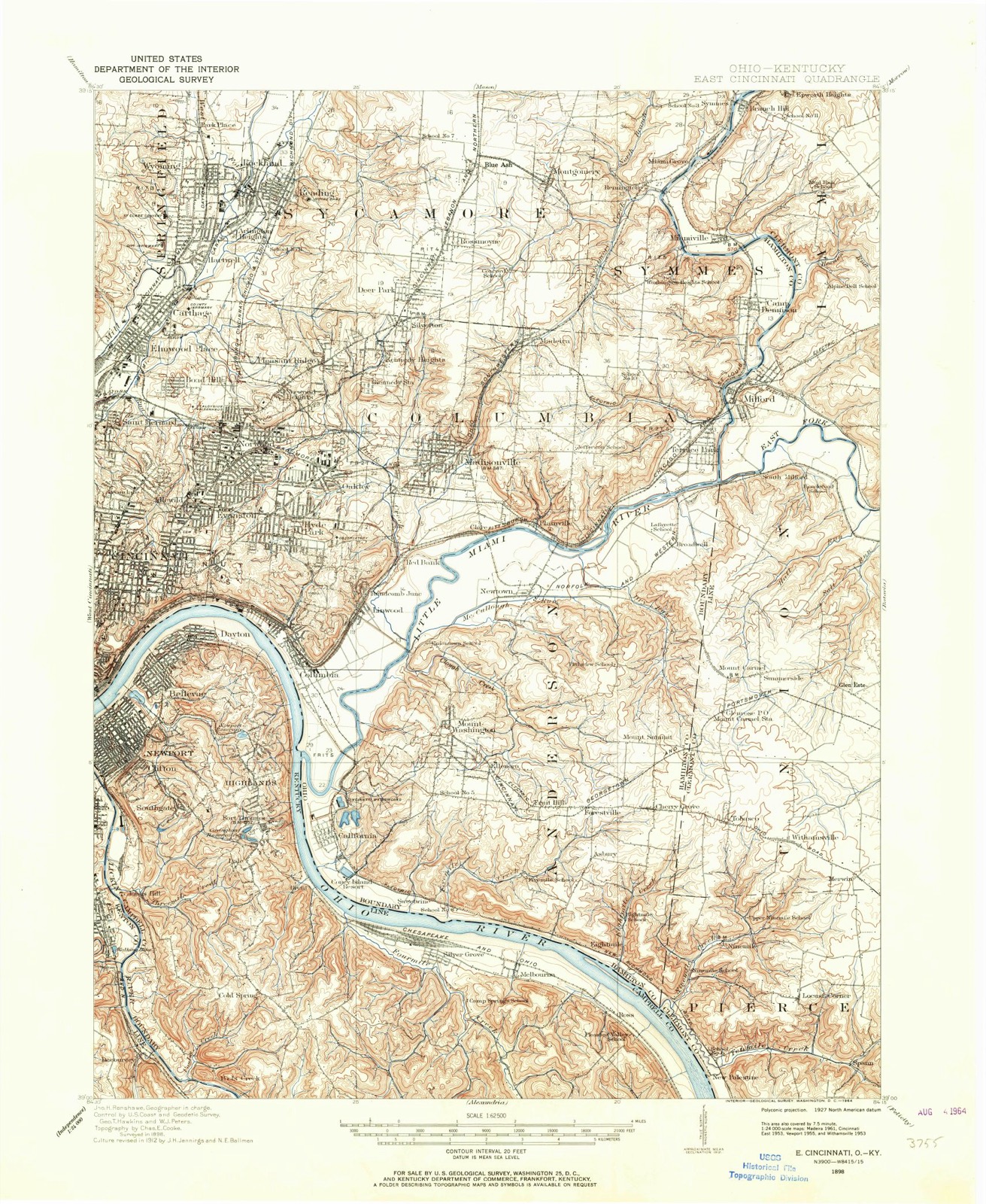
Compare 1898 against another survey:
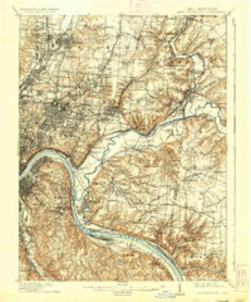
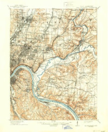
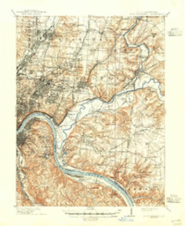
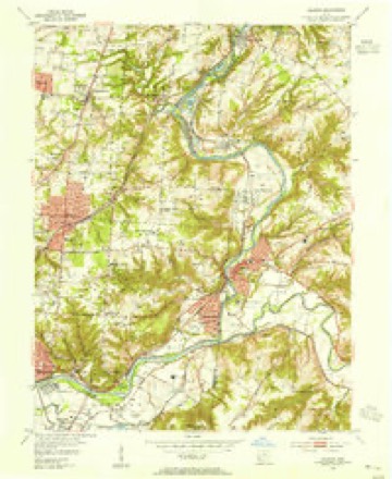
Topographic sheets covering this place
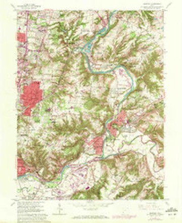
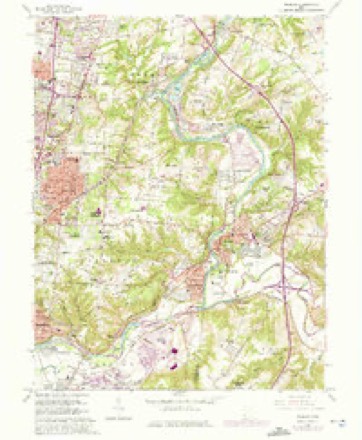
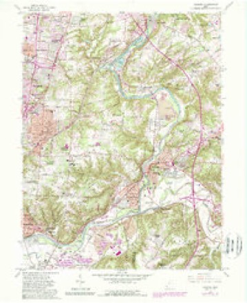
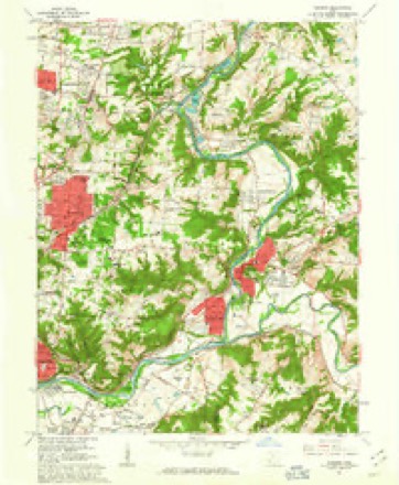
19 sheetsMatched by testing this settlement's coordinate against the published boundary of every sheet in the United States Geological Survey's historical collection. Each opens the scanned sheet at the Survey.
- 1898 USGS East Cincinnati quadrangle1:62500
- 1914 USGS East Cincinnati quadrangle1:62500
- 1914 USGS East Cincinnati quadrangle1:62500
- 1914 USGS East Cincinnati quadrangle1:62500
- 1914 USGS East Cincinnati quadrangle1:62500
- 1953 USGS Cincinnati quadrangle1:250000
- 1953 USGS Cincinnati quadrangle1:250000
- 1953 USGS Cincinnati quadrangle1:250000
- 1953 USGS Madeira quadrangle1:24000
- 1957 USGS Cincinnati quadrangle1:250000
- 1961 USGS Madeira quadrangle1:24000
- 1961 USGS Madeira quadrangle1:24000
- 1961 USGS Madeira quadrangle1:24000
- 1961 USGS Madeira quadrangle1:24000
- 1961 USGS Madeira quadrangle1:24000
- 1986 USGS Cincinnati quadrangle1:100000
- 1986 USGS Cincinnati quadrangle1:100000
- 1986 USGS Cincinnati quadrangle1:100000
- 1996 USGS Madeira quadrangle1:24000







What happened here
An account from the chapter on Columbia township, The inset identifies its exact source book and publication year.
Day-Book
Jan. 2 left our camp and put down the Ohio and on the 8th arrived at Limestone and thence to Washington which is in 38 degrees some minutes North, and had at that time 119 horses. " i2th left Washington (Mason Co., Ky.,) on the 12th and arrived on the 18th at Miami (Columbia). " 23 the first four horses were stolen - by the Indians - April 4 two of Mills' men were killed.
In the county-history sources
74,119 words on this townshipHistory of Hamilton County, Ohio, with Illustrations and Biographical Sketches, published 1881 names this settlement in its chapter on Columbia Township. These are the passages that mention it, exactly as the scans read.
Apart from the Little Miami, Columbia has no stream of size within it or upon its borders. Duck creek, and perhaps a dozen other brooks and rivulets, traverse some part of the township, most of them toward the Little Miami, but two or three, in the northwestern part, making their way to the valley of Mill creek. The Marietta & Cincinnati railroad enters the township near Norwood, about a mile and three-quarters from the southwest corner, traverses about half its breadth on a general east and west line to Madisonville, whence the route makes rapidly northward and northeastward to its emergence from the township beyond Madeira station, near the southeast corner of Sycamore township. About seven miles of the course of this railroad lie in Columbia. The Little Miami railroad^has about the same length along or near the river in this township, entering at the southeast corner, at Red Bank station, and proceeding by the Batavia junction, Plainville, and several other points, to its exit from the county at the northeastern corner, opposite East Milford, and a mile and a half further crossing the river and leaving the county altogether. The Cincinnati & Eastern narrow-gauge railroad tracks also intersect the southern tier of sections; but its arrangements for entering Cincinnati from the north and west are not yet consummated, and the road is not much used west of Batavia junction, where it connects with the Little Miami railroad. The Cincinnati Northern narrow-gauge, now in course of construction, crosses the township from south to north, entering from the direction of Walnut Hills, and passing through Norwood. Several fine turnpikes, as the Cincinnati & Wooster, once the main line of communication eastward ; the Madison, the Montgomery, and others, with many well-kept, ordinary wagon-roads, add to the facilities of communication with the city and surrounding country. Upon some of them, as over the Montgomery pike to Pleasant Ridge, lines of omnibuses are regularly run to and from Cincinnati.
Passage source: History of Hamilton County, Ohio, with Illustrations and Biographical Sketches, published 1881.
I. Dr. Metz and his co-laborers arrange the works in groups. Group A is mostly upon the property of Charles F. Stites, one mile west of Plainville, between the Wooster turnpike and the Little Miami railroad and river, upon the second bottom or plateau, in section nine. This plateau has a general elevation above the river of nearly two hundred feet; and above it, at a height varying from ten to twenty-five feet, is a narrow ridge, mainly composed of reddish sand, upon which the most notable work of the group is situated. This and the remaining works in this locality are thus described by Dr. Metz:
Passage source: History of Hamilton County, Ohio, with Illustrations and Biographical Sketches, published 1881.
Machine-read from a century-old scan, so expect the errors a machine makes: misspelled names, dropped words, stray characters.
Specimens collected near this place
12 of 6,532 shownRegional context, not property-specific evidence. Museums hold 6,532 specimens collected within 10 miles of Plainville between 1819 and 1975: 3,737 Fungi, 1,523 Animalia, 861 Plantae, 370 Protozoa, 28 Unrecorded, 13 Chromista. 12 distinct Species records are shown. Collected by 14753, A. Braun, A. F. Braun and others. Each is a physical object with a catalogue number, and each entry opens the museum's record. This is what was collected and kept, not a survey of what lives here - nothing can be concluded from a species being absent.
| Image | Species | Year | Collected by | Where, as recorded |
|---|---|---|---|---|
 | Corticium polyporoideum Berk. & M.A.Curtis | 1899 | C.G. Lloyd | Cincinnati |
 | Microsphaera diffusa Cooke & Peck | 1899 | Aiken, Walter H. | Cincinnati |
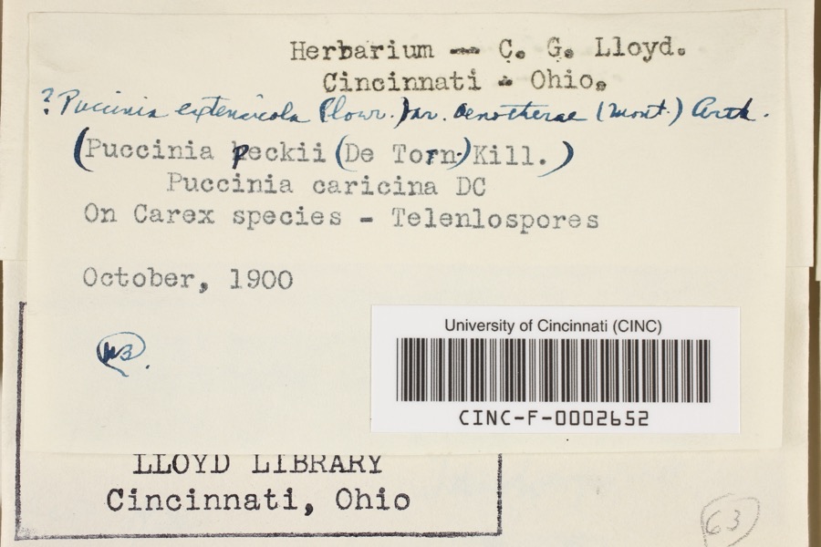 | Puccinia extensicola Plowr. | 1900 | Aiken, Walter H. | Cincinnati |
 | Quercus × leana Nutt. | 1819 | Thomas Nuttall | 3 miles North of Cincinnati |
 | Atrichum angustatum (Brid.) Bruch & Schimp. | 1820 | T. G. Lea | probably Cincinnatti |
 | Barbula unguiculata Hedw. | 1820 | T. G. Lea | probably Cincinnatti |
 | Sebacina calcea (Pers.) Bres. | 1827 | Lloyd C. G. | Linwood |
 | Rhus venenata DC. | 1830 | Clark, Joseph | North of Cincinnati |
 | Equisetum arvense L. | 1834 | Short, Charles Wilkins; Lea, Thomas G. | Cincinnati |
 | Carex comosa Boott | 1835 | Collector unspecified | In citivate Ohio prope Cincinnati. [Inferred locality from precise loc.] |
 | Carex lupulina Muhl. ex Willd. | 1835 | Joseph C. Frank | Cincinnati. |
| Asterostroma cervicolor (Berk. & M.A.Curtis) Massee | 1897 | Lloyd C. G. | Eden Park |
All 6,532 specimens within 10 miles, at the Global Biodiversity Information Facility.
Mines and quarries near this place
6 within 5 milesRegional context, not property-specific evidence. The federal mineral resources record lists 6 workings within 5 miles of Plainville: 3 past producers, 2 unknowns, 1 producer. 1 still produces. What was taken out: Sand and Gravel, Construction, Zirconium, Titanium, Zirconium. Distance is straight-line from the map coordinates, so a quarry counted here may appear on a neighbouring settlement's page as well.
| Where | Site | Commodity | Status | Recorded |
|---|---|---|---|---|
| Continental Mineral/ Sharonville Oh | Zirconium, Titanium | Unknown | ||
| N L Industries/ Cincinnati, Ohio | Zirconium | Unknown | ||
| Mariemont Pit | Sand and Gravel, Construction | Past Producer | Sedimentary | |
| Mariemont Pit | Sand and Gravel, Construction | Producer | ||
| Newtown Plant | Sand and Gravel, Construction | Past Producer | ||
| Plant Number 3 Newtown Pit | Sand and Gravel, Construction | Past Producer | Sedimentary |
Storms near this place
1 since 2014Regional context, not property-specific evidence. The National Weather Service names Plainville in 1 storm report between 2014 and 2014: 1 flash flood. No death or injury is recorded in these reports. Each account below is quoted exactly as the forecast office filed it, from the NOAA Storm Events Database, and each date opens the federal record of that event.
| When | Event | Place named | Harm | What the report says |
|---|---|---|---|---|
| May 2014 | Flash Flood | Plainville | $1,000 | Wooster Pike was closed between Newtown Road and Elm Road due to high water caused by heavy rainfall. |
Nearest settlements
The eight closest, with where each one stands in the county. Distances are straight-line, computed from the Geographic Names Information System coordinates.
| Map | Place | Distance | Sheets |
|---|---|---|---|
| Shademoore | 0.5 miles | 19 | |
| Mariemont | 0.8 miles | 19 | |
| Clare | 0.9 miles | 19 | |
| Avoca Park | 1.0 miles | 19 | |
| Newtown | 1.2 miles | 21 | |
| Indian Hill | 1.5 miles | 19 | |
| Fairfax | 1.8 miles | 19 | |
| East Madisonville | 1.8 miles | 19 |
Elsewhere
Matched on this settlement's Geographic Names Information System number rather than its name, so it cannot be a different place of the same name in another state.
| Wikipedia article on Plainville | An encyclopaedic summary. Its text is share-alike, so it is linked here rather than copied. |
| Wikidata item Q7200785 | The structured record the population and elevation above come from. Public domain (CC0). |
Provenance
This settlement is recorded in the Geographic Names Information System as feature 1056477. The sheet list is computed by point-in-boundary test against the United States Geological Survey's historical topographic inventory. Both are works of the United States government and carry no copyright under 17 U.S.C. 105.
Specimens. Global Biodiversity Information Facility (GBIF), https://www.gbif.org/. Only records licensed CC0 or CC BY are used. Records licensed CC BY-NC are excluded because this site carries advertising. Images are checked individually and any whose licence is non-commercial, no-derivatives or unreadable is refused.
Mines and quarries. USGS Mineral Resources Data System (MRDS) https://mrdata.usgs.gov/mrds/ A work of the United States government, no copyright under 17 U.S.C. 105.
Storms. NOAA National Centers for Environmental Information, Storm Events Database https://www.ncei.noaa.gov/stormevents/ A work of the United States government, no copyright under 17 U.S.C. 105. Narratives are quoted verbatim from the National Weather Service report and are not edited or summarised.