Listed on the National Register of Historic Places in
1975. A historic map-sheet match is not published yet. The record needs a coordinate-quality review before it can be joined to a sheet boundary.
From the record
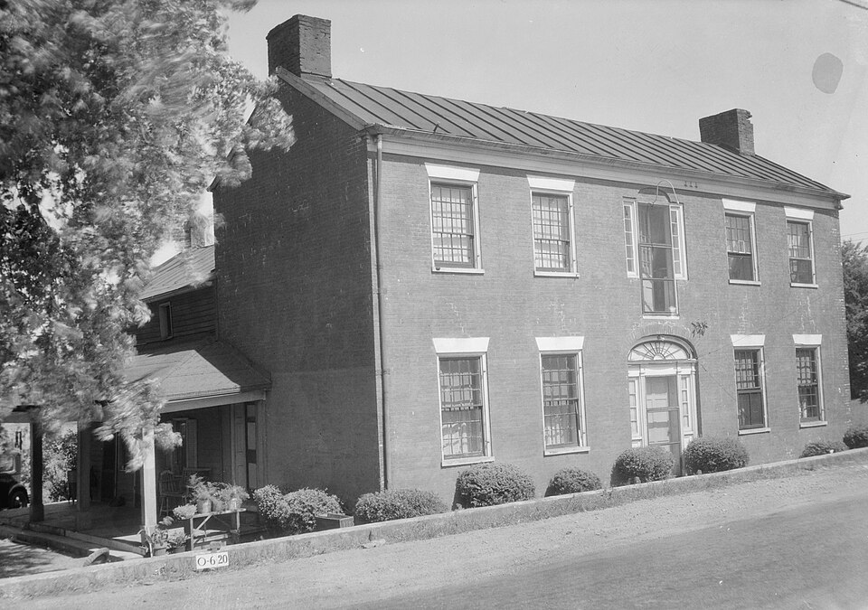
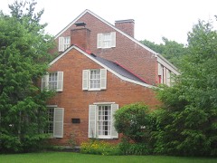
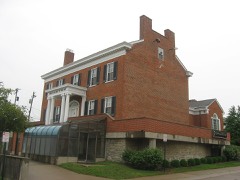
“The Harrison-Landers House was a historic Federal-style residence near the village of Newtown in Hamilton County, Ohio, United States. Built in the first quarter of the 19th century, it served a range of residential and commercial purposes throughout its obscure history, but enough of its history was known to permit its designation as a historic site in the 1970s.”
Wikipedia article Harrison-Landers House, CC BY-SA 4.0.
one of 314 National Register listings in Hamilton County · listed in 1975 · category: Building · one of 9 National Historic Landmarks in Hamilton County.
National Register reference number.75001434- the number the National Park Service assigned this property when it was listed, and the key its nomination file is catalogued under at the National Archives.
Besides the natural features of Anderson which vary its topography, its broad surface is further intersected by the Batavia turnpike in the northern part, which takes Union bridge and Newtown on its way; the Richmond turnpike on the extreme south, passing California and hugging the river closely until its exit from the county, shortly after which it trends rapidly northeastward; the Salem and Ohio turnpikes, also in the southern half of the township, the latter passing through Mount Washington and Cherry Grove; a number of other good wagon roads; the Cincinnati & Eastern narrow-guage railway, along the valley of the Little Miami, by Newtown, in the north part; with a branch from a point a mile and a half east of Newtown, running up the valley of Dry run, to a point due east of Mount Washington, where it leaves the township; and the Cincinnati & Portsmouth narrow-guage railway, cutting the southern and eastern parts in an exceedingly tortuous line, as compelled by the broken country, from the crossing of the Little Miami southwest of Mount Washington to the departure from the township and county considerably to the northward, near Mount Carmel, in Clermont county. As well as the nature and demands of the township will permit at present, it is served with means of transportation; but other railroads have been projected, as that already mentioned along the Ohio.
About a mile east of Newtown, in this county, on the farm of Levi Martin, is a mound of the largest class. Its shape is an oval oblong, rounding to its apex with the most perfect accuracy. It is situated on a shelf of land about thirty feet above the alluvial bottom of the Little Miami. The soil around it is gravelly, but the material of its structure, as usual, is a brick clay. Near its summit is a large beech, probably two feet in diameter, and its sides are covered with a thick growth of underwood, with several large forest trees. It is within three hundred yards of a high range of hills, and could not, therefore, have been erected as a watch-tower or a place of defence. It has never been opened, but the most probable conjecture is that it is the monument of some mighty chief, who lies interred in its centre. The plain around its base is perfectly level, except within twenty feet of what was probably its original circumference; the washing of rains has filled it up to a considerable height. The dimensions of the mound, from actual admeasurement, are as follows:
Regional context, not property-specific
evidence. Museums hold 6,349 specimens
collected within 10 miles of Harrison-Landers House between 1819 and
1975: 3,634 Fungi, 1,455 Animalia, 850 Plantae, 370 Protozoa, 27 Unrecorded, 13 Chromista. 12 distinct Species records are shown.
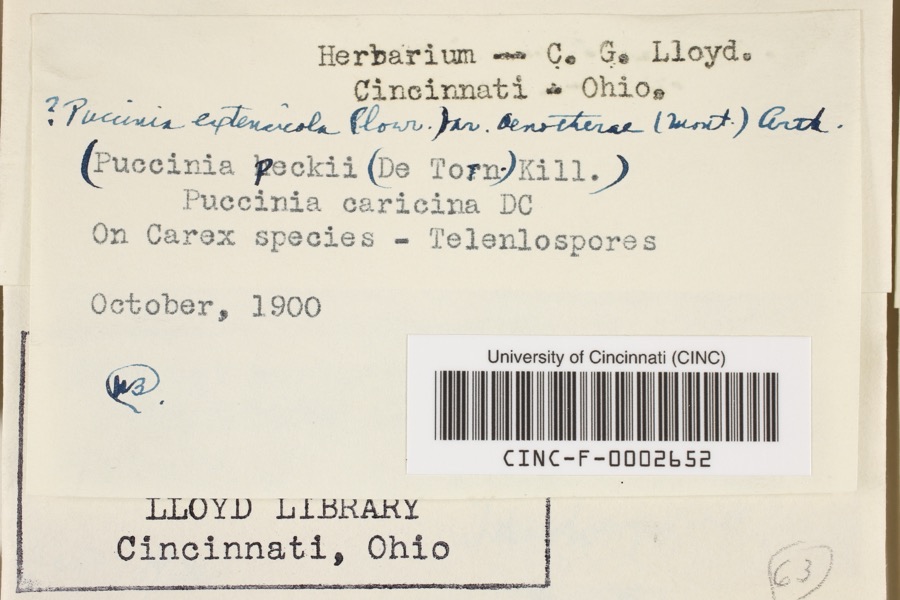
Collected by 14753, A. Braun, A. F. Braun and others. Each is a
physical object with a catalogue
number, and each entry opens the museum's record. This is what was
collected and kept, not a survey of what lives here - nothing can be
concluded from a species being absent.
Regional context, not property-specific
evidence. The federal mineral resources record lists
6 workings within 5 miles of Harrison-Landers House: 3 past producers, 2 unknowns, 1 producer.
1 still produces. What was taken out: Sand and Gravel, Construction, Zirconium, Titanium, Zirconium. Distance is straight-line from the
map coordinates, so a quarry counted here may appear on a neighbouring
settlement's page as well.
Regional context, not property-specific
evidence. The National Weather Service names
Newtown, the town this property stands in, in 16 storm reports between 1998 and 2019: 8 thunderstorm wind, 6 hail, 1 flash flood, 1 flood.
No death or injury is recorded in these reports. Each account below is quoted exactly as the forecast office
filed it, from the NOAA Storm Events Database, and each date
opens the federal record of that event.
No historic map-sheet match is published
for this property yet. That does not mean no map exists. This record needs
a coordinate-quality review before it can be joined to a sheet boundary.
Browse the county's mapped places while that work is
pending.
From the nomination file
2,486 words on record
When this property was proposed for the
National Register, someone wrote the case for it: what the building is,
and why it matters. That document is a federal record in the public domain.
It is quoted below word for word, never summarised. The text was read off the scanned case file by machine, so the
occasional stray character is the recogniser's and the 1970s
typewriter's.
Description of the property
original door seems to have been replaced by a single door and pan- It evidently opened on to a balcony which has been removed. To the rear is a one and a half story gable roofed wing, and to the south is a one story portion with a shed roof hipped at been paneled over. CONDITION There REGISTER RECEIVED Excellent NATIONAL mounted by an elliptical fanlight with simple tracery.The Each room has a large fireplace flanked by floor to ceiling have simple stone the lintels give the appearance MAR 1 2 1975 This door has twenty lights above a paneled lower portion. the southwest corner of the brick portion. main east in Flemish bond with Queen's closer headers of stone too. are two more recent wood frame additions to the brick portion.
(Check One) Good - Unexposed side by five light side lights. The doorway is flanked on each X Fair eled side lights. There are two 12/12 double hung sash windows Ruins brick building with gable roof and interior end chimneys.The cabinets.The fireplaces and cabinets have been paneled over. is a doorway in the center bay above the first level entry. The second floor also has two rooms with fireplaces which have has five bays with a center entry.The main entrance is sur- which flank the entry on each side.At the second level there
Statement of significance
The house was built by P. Harrison, the son-in-law of Nathaniel It is also believed that the house was used at the turn of the Commerce Conservation Communications Military losophy Architecture Engineering Aboriginal NATIONAL RECEIVED Industry Literature itarian REGISTER Agriculture Social/Human- Music is unusual. in the carding mill in Newtown owned by the Armstrong family. market would pen their turkeys and other livestock while staying Invention if road widening should occur.
MAR 1 2 1975 is quite typical of this the second floor doorway a wealthy grist mill owner and early resident of This house is important architecturally because it is a good It is one of the earliest houses in the very little is known about the early history of the house and its inhabitants. at the inn. SPECIFIC DATEIS) (If Applicable and Known) Art proximity to the main thoroughfare could endanger its existence Education At the present time the house is used as a rooming house.Its Williamson.
Quoted from the National Register nomination
for reference 75001434, 16 pages, held by the National Archives in Record
Group 79. See the
catalogue record.
Listed places nearby
6 within 8 miles
Other National Register properties close
enough to walk or drive between, ordered by distance from this one. Both
positions come from the same geocoding pass that matched these properties
to their map sheets.
Listing record. National Park Service National Register of Historic Places, listed-properties dataset, current to 2026-05-22.
Map join. Address geocoded through the United States Census geocoder, then tested against the published boundary of every sheet in the USGS Historical Topographic Map Collection.
How this page is made. Listing fields come from federal records; map-sheet coverage is a labelled coordinate-to-boundary calculation, not a source-field claim.
Specimens. Global Biodiversity Information Facility (GBIF), https://www.gbif.org/. Only records licensed CC0 or CC BY are used. Records licensed CC BY-NC are excluded because this site carries advertising. Images are checked individually and any whose licence is non-commercial, no-derivatives or unreadable is refused.
Mines and quarries. USGS Mineral Resources Data System (MRDS) https://mrdata.usgs.gov/mrds/ A work of the United States government, no copyright under 17 U.S.C. 105.
Storms. NOAA National Centers for Environmental Information, Storm Events Database https://www.ncei.noaa.gov/stormevents/ A work of the United States government, no copyright under 17 U.S.C. 105. Narratives are quoted verbatim from the National Weather Service report and are not edited or summarised.
 Block
Block