 Block
Pleasant Heights, Ohio
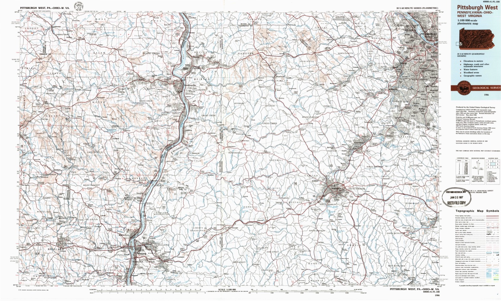
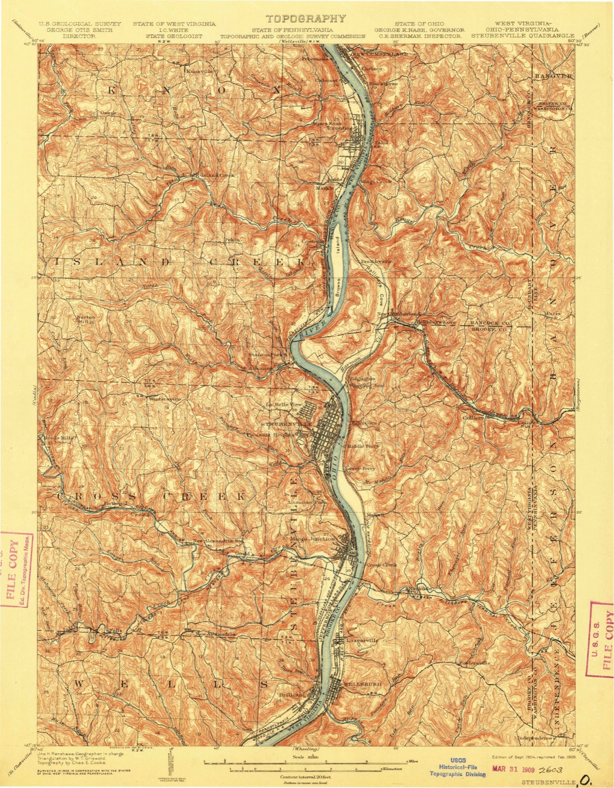
24 topographic sheets cover this place, the earliest surveyed in 1904 and the latest in 1986. It stands in Steubenville City. It lies in ZIP code area 43952. It stands on Permars Run. The Survey maps it on the Steubenville West quadrangle.
Then and now
1904 to 1986The same ground, surveyed 82 years apart. Drag the handle to wipe between them. Both sheets are United States Geological Survey originals; neither has been altered.
On record in Pleasant Heights
Buildings and businesses the archive holds for this place. Each opens its own page, with the source record it came from.
On the National Register within a mile 9 records
The National Register names another town for these. They stand within one mile of this settlement's coordinate.
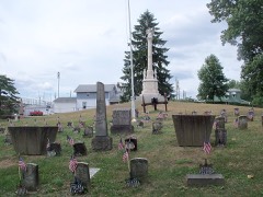 Union Cemetery-Beatty Parklisted 1987 · 0.5 miles away
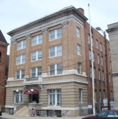 Steubenville YMCA Buildinglisted 1982 · 0.6 miles away
 First Methodist Episcopal-Holy Trinity Greek Orthodox Churchlisted 2006 · 0.6 miles away
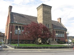 Carnegie Library of Steubenvillelisted 1992 · 0.6 miles away
- Market Street Section, Retaining Wall and Water Troughlisted 1992 · 0.1 miles away
- Steubenville Commercial Historic Districtlisted 1986 · 0.6 miles away
- Steubenville Institutional and Ecclesiastical Historic Districtlisted 2026 · 0.6 miles away
- Ohio Valley Clay Companylisted 1979 · 0.7 miles away
- North End Neighborhood Historic Districtlisted 1991 · 0.8 miles away
Topographic sheets covering this place
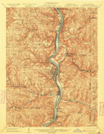
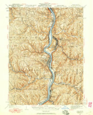
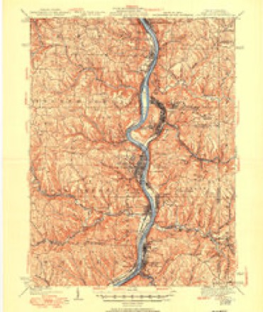
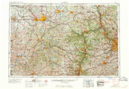
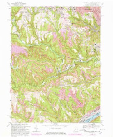
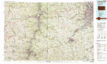
10 surveys from 24 printed sheetsMatched by testing this settlement's coordinate against the published boundary of every sheet in the United States Geological Survey's historical collection. Each opens the scanned sheet at the Survey.
- 1904 USGS Steubenville quadrangle1:62500, 5 printings
- 1935 USGS Steubenville quadrangle1:62500
- 1942 USGS Steubenville quadrangle1:62500, 2 printings
- 1951 USGS Canton quadrangle1:250000
- 1953 USGS Canton quadrangle1:250000
- 1957 USGS Canton quadrangle1:250000, 3 printings
- 1958 USGS Steubenville West quadrangle1:24000, 2 printings
- 1962 USGS Canton quadrangle1:250000, 2 printings
- 1968 USGS Steubenville West quadrangle1:24000, 4 printings
- 1986 USGS Pittsburgh West quadrangle1:100000, 3 printings
Fires near this place
16 since 1992Regional context, not property-specific evidence. The federal wildfire occurrence database lists 16 fires within 5 miles of Pleasant Heights between 1992 and 2017, burning about 90 acres in total. None started naturally. 3 were recorded as arson. Distance is straight-line from the map coordinates, so a fire counted here may appear on a neighbouring settlement's page as well.
| Reported cause | Fires |
|---|---|
| Debris and open burning | 5 |
| Misuse of fire by a minor | 3 |
| Arson/incendiarism | 3 |
| Equipment and vehicle use | 1 |
| Smoking | 1 |
| Fireworks | 1 |
| Power generation/transmission/distribution | 1 |
| Recreation and ceremony | 1 |
The most recent of them, most recent first, with the day each was reported and the service that recorded it.
| Date | Cause | Size | Reported by | Name on the report |
|---|---|---|---|---|
| 5 April 1992 | Arson/incendiarism | 48 acres | West Virginia Division of Forestry | TENT CHURCH ROAD |
| 28 April 2001 | Misuse of fire by a minor | 1.0 acres | West Virginia Division of Forestry | CHERRY LANE |
| 19 April 2003 | Misuse of fire by a minor | 1.0 acres | West Virginia Division of Forestry | CROSS CREEK RD. |
| 1 April 2015 | Power generation/transmission/distribution | under an acre | Ohio Department of Natural Resources | 1783 |
| 1 April 2014 | Recreation and ceremony | 10 acres | Ohio Department of Natural Resources | not named |
| 30 March 1999 | Debris and open burning | under an acre | West Virginia Division of Forestry | WALLER RD |
| 28 March 1998 | Debris and open burning | under an acre | West Virginia Division of Forestry | ELDERSVILLE ROAD |
| 27 March 1999 | Debris and open burning | 2.0 acres | West Virginia Division of Forestry | POLICE LODGE ROAD |
Settlements close enough to share some of these fires:
Specimens collected near this place
12 of 498 shownRegional context, not property-specific evidence. Museums hold 498 specimens collected within 10 miles of Pleasant Heights between 1836 and 1974: 274 Animalia, 184 Plantae, 39 Fungi, 1 Chromista. 12 distinct Species records are shown. Collected by A. Doolittle, A. W. Cusick, Allison W. Cusick and others. Each is a physical object with a catalogue number, and each entry opens the museum's record. This is what was collected and kept, not a survey of what lives here - nothing can be concluded from a species being absent.
| Image | Species | Year | Collected by | Where, as recorded |
|---|---|---|---|---|
| Vitis aestivalis Michx. | 1836 | Jewett | ||
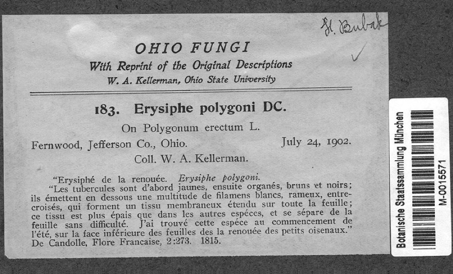 | Polygonum erectum L. | 1902 | Kellerman, W.A. | Fernwood, Jefferson Co., Ohio |
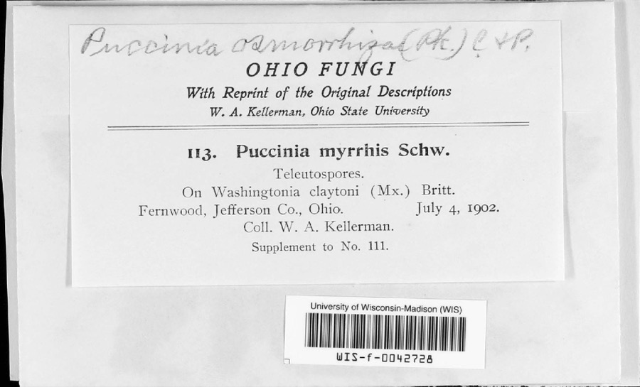 | Puccinia pimpinellae (F.Strauss) Link | 1902 | W. A. Kellerman | |
 | Betula lenta L. | 1877 | Wertz, H.W. | Buffalo Creek near Wheeling |
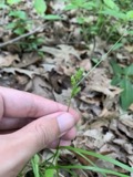 | Carex hirsutella Mack. | 1877 | Mertz, H.N. | Steubenville |
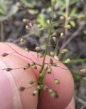 | Dichanthelium acuminatum subsp. fasciculatum (Torr.) Freckmann & Lelong | 1877 | Mertz, H.N. | Steubenville |
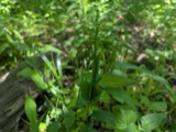 | Dichanthelium latifolium (L.) Harvill | 1877 | Mertz, H.N. | Steubenville |
 | Dichanthelium sphaerocarpon (Elliott) Gould | 1877 | Mertz, H.N. | Steubenville |
 | Elymus hystrix L. | 1877 | Mertz, H.N. | Steubenville |
 | Fagus grandifolia Ehrh. | 1877 | Guttenberg, H.G. | Wellsburg |
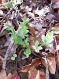 | Galium circaezans Michx. | 1877 | Guttenberg, G. | near Steubenville |
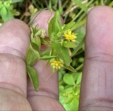 | Hypericum mutilum L. | 1877 | Mertz, H.N. | Steubenville |
All 498 specimens within 10 miles, at the Global Biodiversity Information Facility.
Mines and quarries near this place
3 within 5 milesRegional context, not property-specific evidence. The federal mineral resources record lists 3 workings within 5 miles of Pleasant Heights: 2 producers, 1 plant. All of them still produce. What was taken out: Iron, Iron, Chromium. Distance is straight-line from the map coordinates, so a quarry counted here may appear on a neighbouring settlement's page as well.
| Where | Site | Commodity | Status | Recorded |
|---|---|---|---|---|
| (Facility) Steubenville Smelter | Iron, Chromium | Plant | ||
| Wheeling-Pgh/ Mingo Junction, Ohio | Iron | Producer | ||
| Wheeling-Pittsburgh/ Steubenville | Iron | Producer |
Nearest settlements
The eight closest, with where each one stands in the county. Distances are straight-line, computed from the Geographic Names Information System coordinates.
| Map | Place | Distance | Sheets |
|---|---|---|---|
| La Belle View | 0.6 miles | 24 | |
| Steubenville | 0.7 miles | 24 | |
| Lincoln Heights | 0.8 miles | 24 | |
| Fishersville | 0.8 miles | 24 | |
| Brady Estates | 0.9 miles | 24 | |
| Jacksonville | 1.0 miles | 24 | |
| Jeffersonville (historical) | 1.1 miles | 24 | |
| Hollywood Addition | 1.2 miles | 24 |
Provenance
This settlement is recorded in the Geographic Names Information System as feature 1063426. The sheet list is computed by point-in-boundary test against the United States Geological Survey's historical topographic inventory. Both are works of the United States government and carry no copyright under 17 U.S.C. 105.
Wildfire. Short, Karen C. 2022. Spatial wildfire occurrence data for the United States, 1992-2020 [FPA_FOD_20221014]. 6th Edition. Fort Collins, CO: Forest Service Research Data Archive. https://doi.org/10.2737/RDS-2013-0009.6 Collected with United States Government funding and usable without additional permissions or fees.
Specimens. Global Biodiversity Information Facility (GBIF), https://www.gbif.org/. Only records licensed CC0 or CC BY are used. Records licensed CC BY-NC are excluded because this site carries advertising. Images are checked individually and any whose licence is non-commercial, no-derivatives or unreadable is refused.
Mines and quarries. USGS Mineral Resources Data System (MRDS) https://mrdata.usgs.gov/mrds/ A work of the United States government, no copyright under 17 U.S.C. 105.