116 topographic sheets and 26 fire insurance
atlases across 6 places.
Research this county
This curated hub for Jefferson County, Ohio brings together the page's documented record links, visible map or image evidence where published, and routes to related local records.
Use the page's provenance and linked records to distinguish the source material from the site's navigation and summaries.
How should I cite it?
Open the original record, preserve its repository and identifier, then use the citation tool for this page as a path back to the source.
Where should I go next?
Follow the county or state hub for related places and records, then use the guide for a source-aware research sequence.
From the record
“THOMAS died at her home on West Market Street Monday morning of cholera morbus, aged sixty-four years. She was in her usual health up to Friday evening when she took suddenly ill. She was a native of Steubenville and a . . . member of Hamline Church.”
Killed By The Cars - Genealogical Selections from the Steubenville Weekly Gazette, 1891: Steubenville, Jefferson County, Ohio (1891). Machine-read text.
17 National Register listings, of which 1 are National Historic Landmarks · 55 businesses named in the fire insurance atlases from 1885 to 1950 · the 1891 county history tells 4 stories and names 9 people · people the book names include Burn, George Goulburn (Steubenville Township, 1891) (machine-read).
Ohio within the United StatesJefferson County within Ohio
Explore by year
What the record shows
6 places in this county were surveyed for fire insurance: Steubenville, Toronto, Mingo Junction, Brilliant, Dillonvale, Adena, between 1885 and 1961.
26 fire insurance atlas(es) survive for the county. Topographic coverage is national; fire insurance survey reached only incorporated places with something worth insuring.
2,795 topographic sheet readings cover the county's settlements.
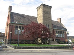
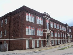
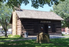
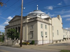
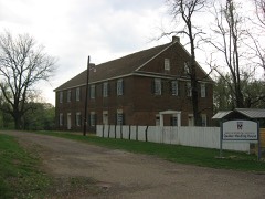
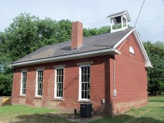
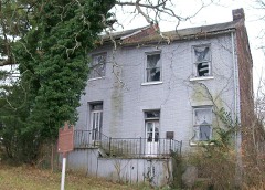
17 properties here are on the National Register of Historic Places, including 5 houses and farms.
5 of the 17 listings were added during the 1970s.
The Geographic Names Information System records 129 populated places in this county; 0 are covered by at least one topographic sheet.
2 public-domain county histories, 1864 and 1891, supply 153,453 words of narrative reproduced here in full.
What happened here
4 accounts
A captivity, a drowning, a famine, a man
scalped clearing his lot in 1789. These are passages from Genealogical Selections from the Steubenville Weekly Gazette, 1891: Steubenville, Jefferson County, Ohio, written
while people who remembered the events were still alive, and each one
opens the section it comes from.
1891, Steubenville Township
Friday, January 9, 1891
AWFUL ACCIDENT---One of the most horrible accidents on the Panhandle R.R. for some years occurred near Coshocton Tuesday evening. . . in which WHEELER BURGESS was fatally injured, JOHN CURN and ROBERT DAVIS of THOS. FRITH's crew of stone bridge builders from this city were killed. . . (men were riding on a hand car, overtaken by train, these three had no time to jump from car).
: . A bad accident west of Dennison. . . occurred Thursday noon and was a collision between the limited mail No. 7, west, which leaves here at 10 a.m., and passenger No. 10, east, due here at 2 p.m. DANIEL LONGNECKER of Columbus, baggage master at No. 10, was instantly killed. . . The dead and injured were taken to Dennison , where madical aid was furnished.
=O 5 MRS. HOMER HOUSE has identified the body found in the river at Brown's as that of her husband. HOUSE, who lived at Irondale, was seen to take a skiff with a companion at Yellow Creek bound for East Liverpool. His body was found. . . Friday, and at first murder was suspected, but no marks could be found on his body that indicated violence, THE MYSTERIOUS DEATH OF HOMER HOUSE The Toronto Tribune gives the following: Homer House.
The wife of GEORGE S. THOMAS died at her home on West Market Street Monday morning of cholera morbus, aged sixty-four years. She was in her usual health up to Friday evening when she took suddenly ill. She was a native of Steubenville and a . . . member of Hamline Church. She had no children. She leaves a husband and two brothers, JOHN FUGETT of Missouri and WILLIAM FUGETT of Jackson County, W.
Taken for the Office of War Information and
the Farm Security Administration, who photographed the country between
1935 and 1944. Works of United States government photographers, with no
known restriction on use. Each opens its catalogue record.
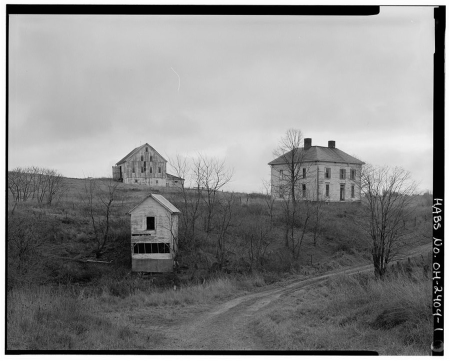
Cole House, Township Road 139 in Smithfield Township, Smithfield, Jefferson County, OH Unattributed, . Library of Congress
Places on the National Register
17
Every property in this county listed on the
National Register of Historic Places, with the year it was listed and the
federal nomination document.
Jefferson County holds 0 covered bridges on
the National Register, more than any other property type here. Each is a listed
structure with a federal nomination on file.
Digitised newspapers
4 issues
Sampled issues, machine-read from the
Library of Congress scan and published page by page, so every headline
and column is searchable text.
True American
Steubenville [Ohio], 1855 to 1861. Machine-read from the Library of Congress scan.
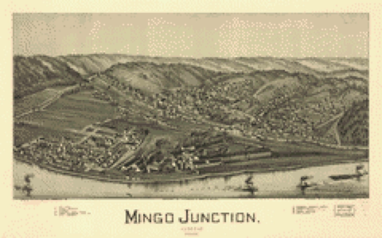
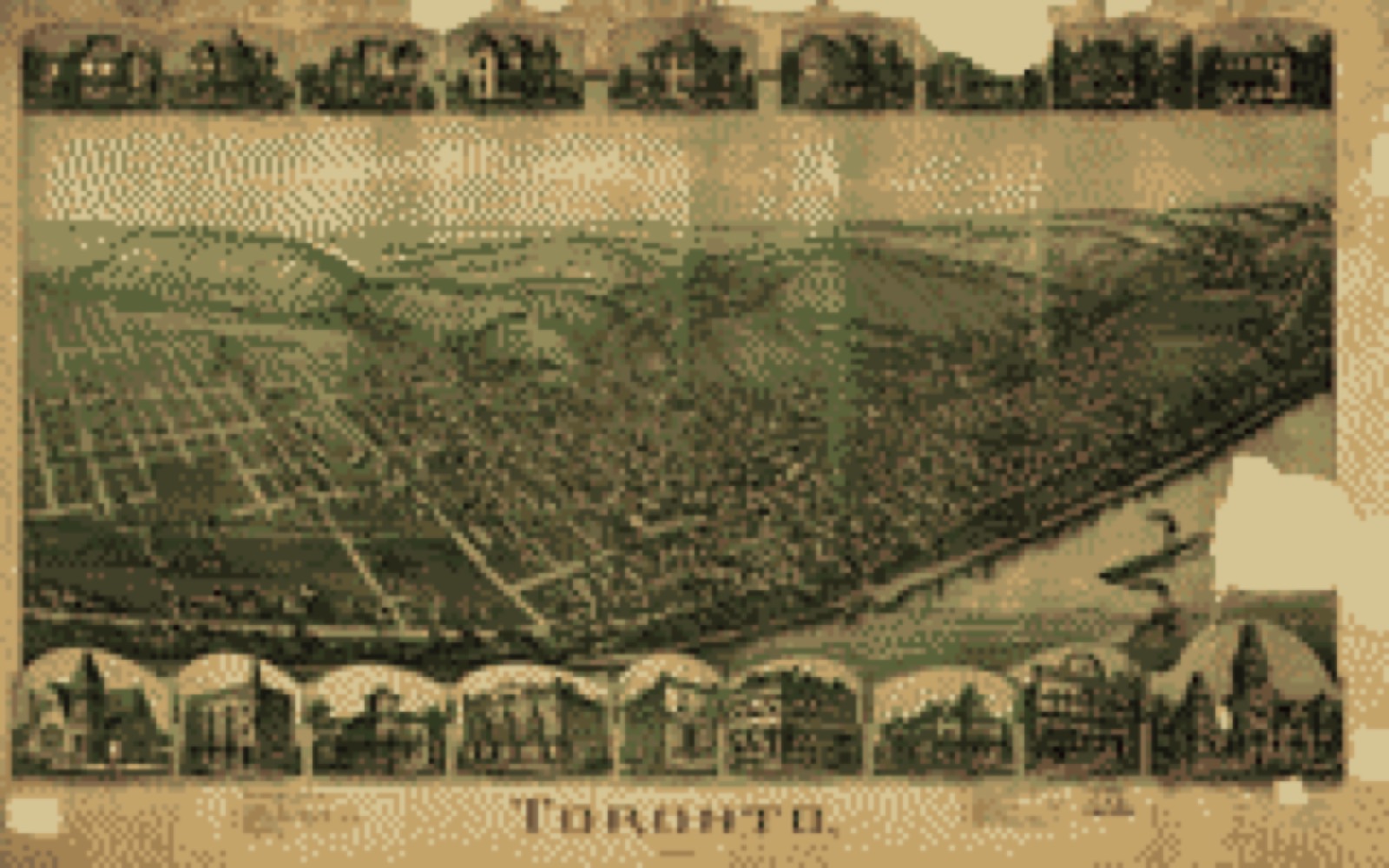
Drawn when these were printed as
single large sheets: the town seen from the air, and the county
divided into its farms with every owner named. Each opens the
original at the Library of Congress.
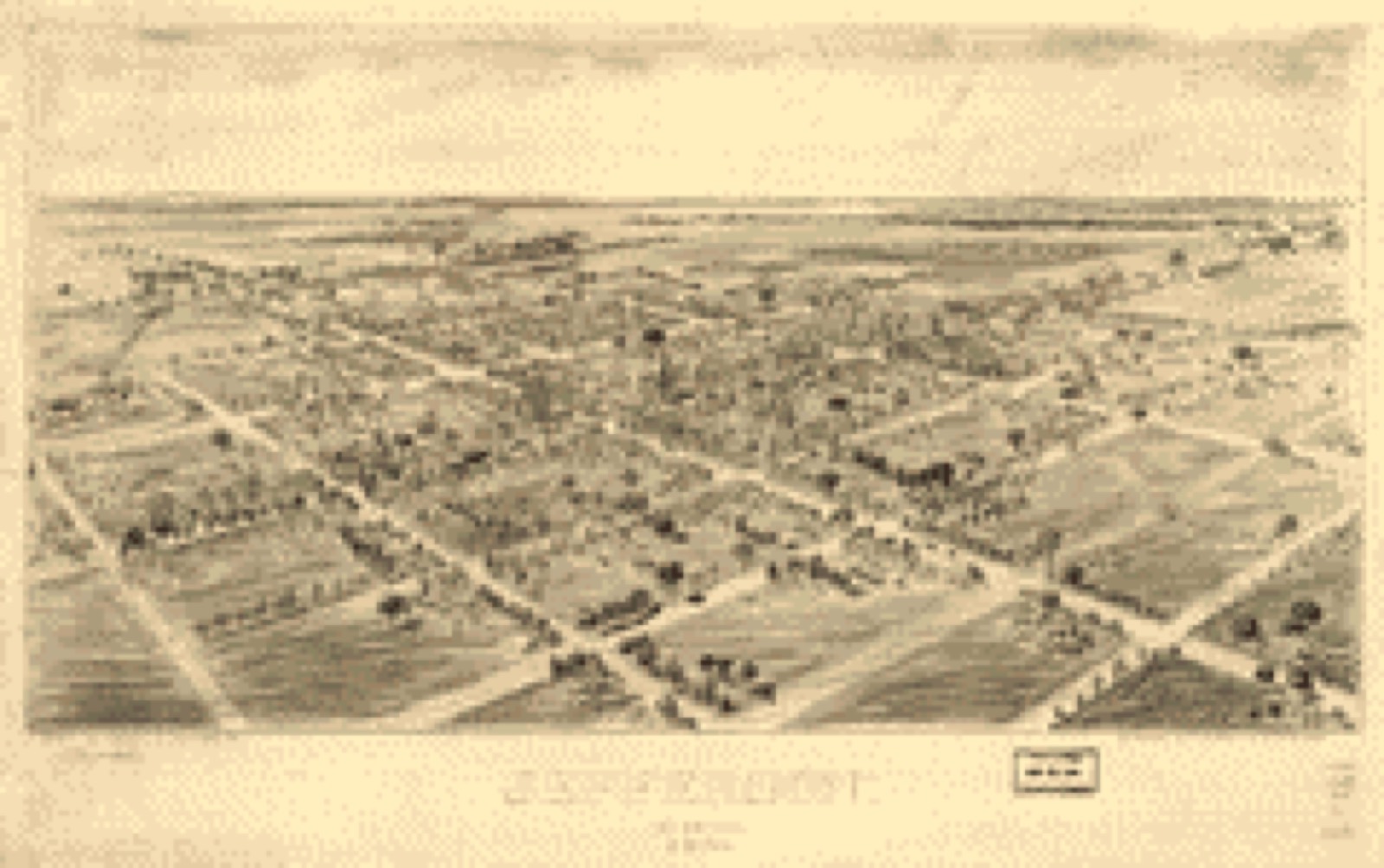
Bird's-eye view (1901) - Jefferson, Ohio 1901. Library of Congress.Bird's-eye view (1899) - Mingo Junction, Ohio 1899. Library of Congress.Bird's-eye view (1899) - Toronto, Ohio 1899. Library of Congress.Land ownership map (1848) - A map of Fairfield County, Ohio. Library of Congress.Land ownership map (1889) - New map of Fairfield County, Ohio. Library of Congress.Land ownership map (1856) - Map of Jefferson County, Ohio : from actual surveys. Library of Congress.
Photographs from libraries nationwide
3 of 16 shown
Selected from the Digital Public Library
of America's 16 image records catalogued for this county. Every
one shown here carries a public-domain status or a licence that permits
reuse on a site that carries advertising; non-commercial, share-alike
and restricted images are excluded. The selection is spread across the
county's towns (at most eight per town), so no single institution's
bulk upload crowds out the rest. Each opens the holding library's
record, and
the complete set at the
Digital Public Library of America is one click away.
Riviera, cock-tail lounge and restaurant. Boston Public Library, via the Digital Public Library of America.Four Seasons - Sheraton Hotel, Civic Square South, Toronto, Ontario Canada. Boston Public Library, via the Digital Public Library of America.Four Seasons - Sheraton Hotel, Civic Square South, Toronto, Ontario Canada. Boston Public Library, via the Digital Public Library of America.
The county from the air
48 of 660 shown
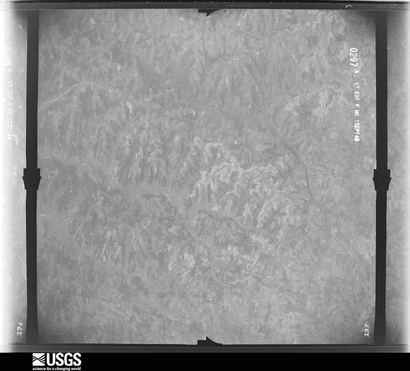
Flown by the U.S. Geological Survey
between 1937 and 1989, the Aerial Photo Single Frames collection is
the definitive mid-century view of the land: fields, roads and rivers
as the camera saw them. 660 frames touch this county; the
selection below spreads across the decades of flights (at most four
per year), so one flight cannot crowd out the rest. The full set is
free to browse and download at
EarthExplorer under the dataset Aerial Photo Single
Frames.
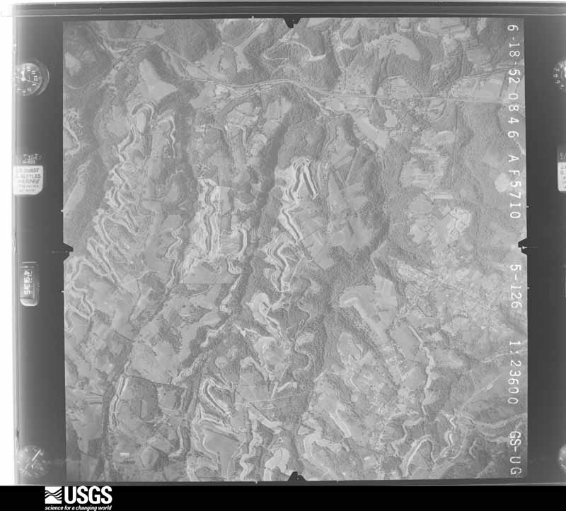
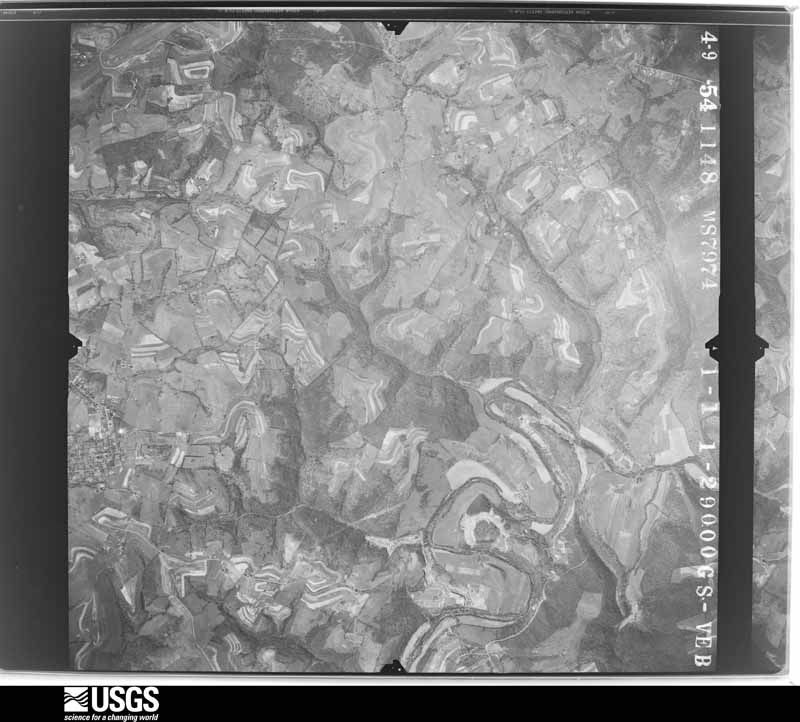
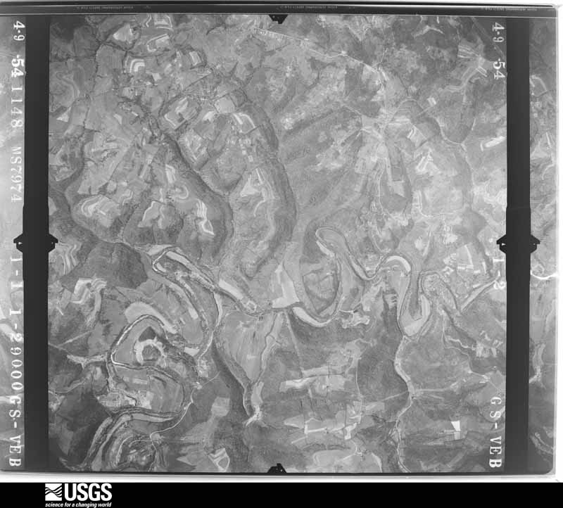
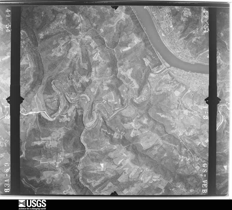
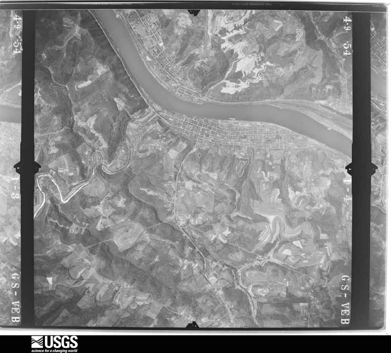
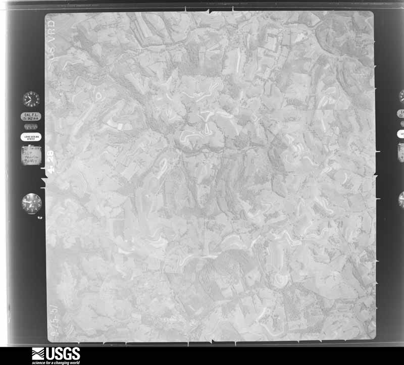
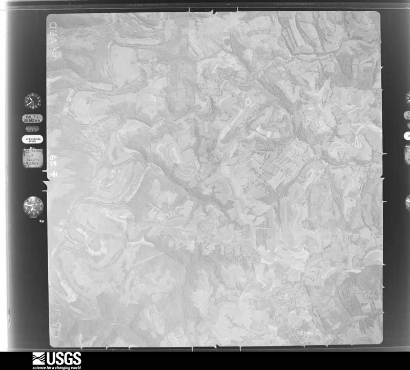
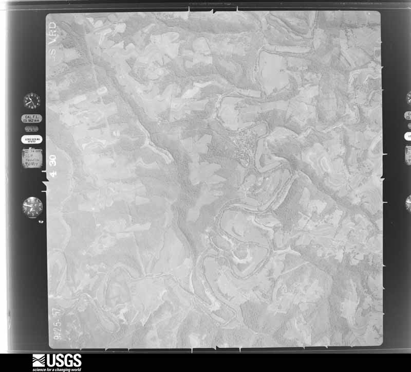
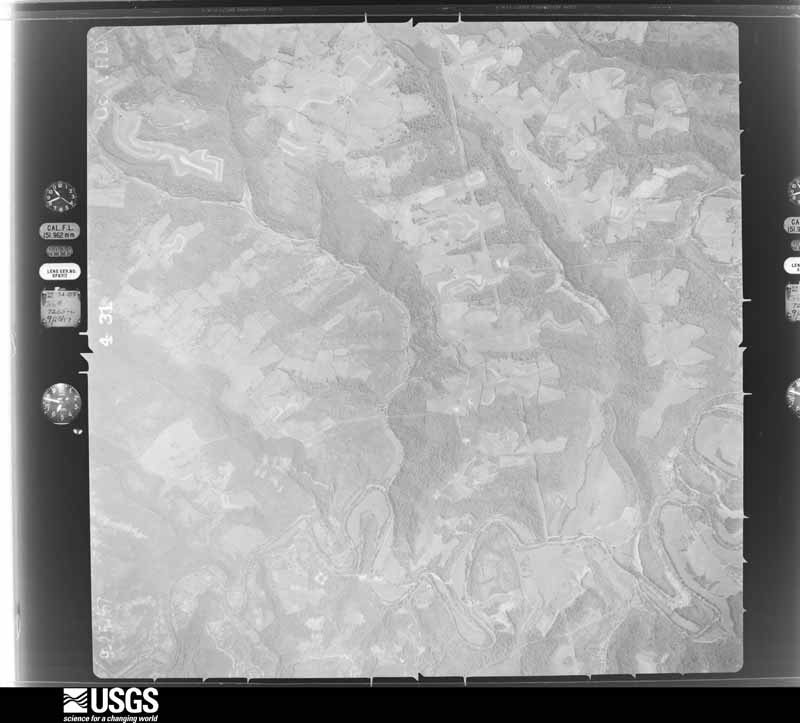
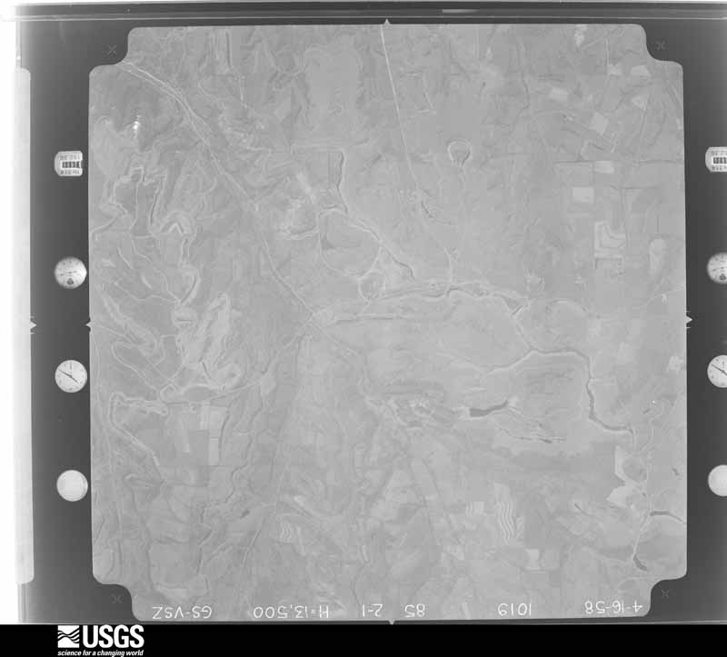
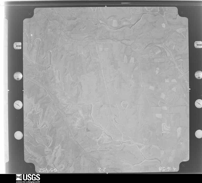
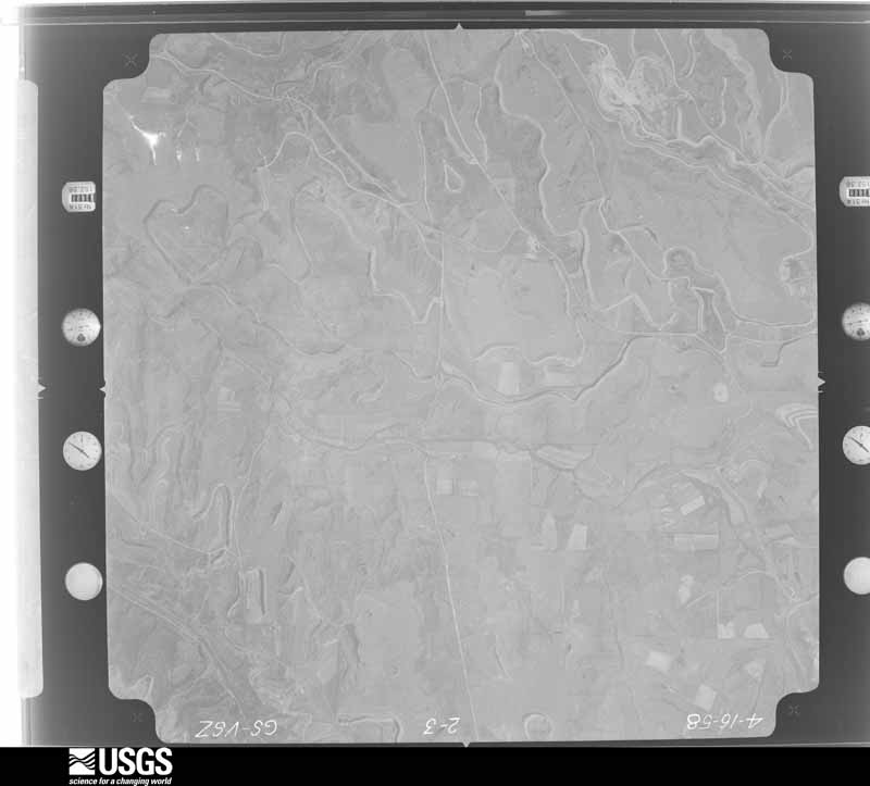
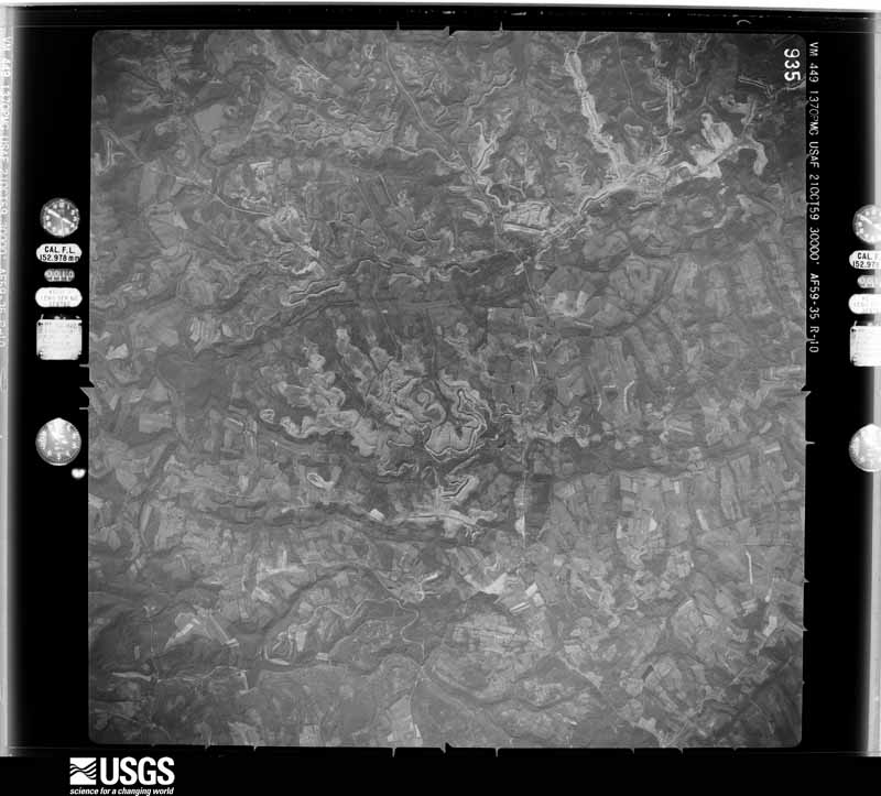
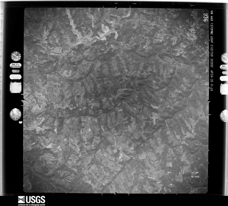
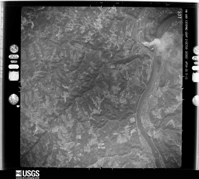
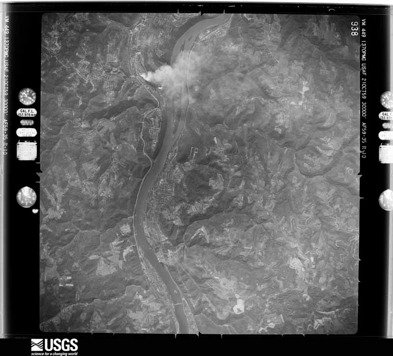
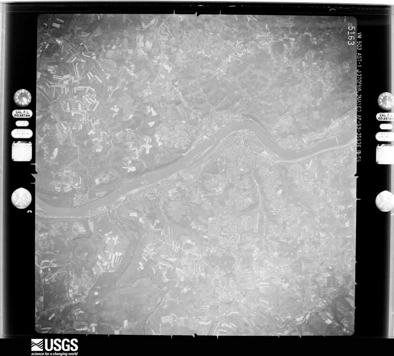
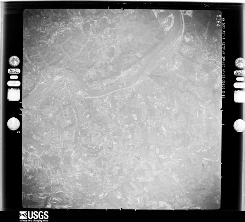
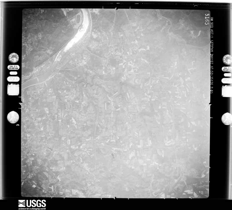
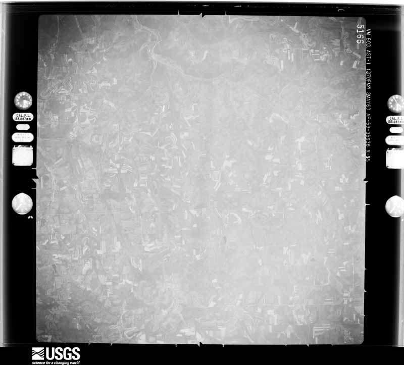
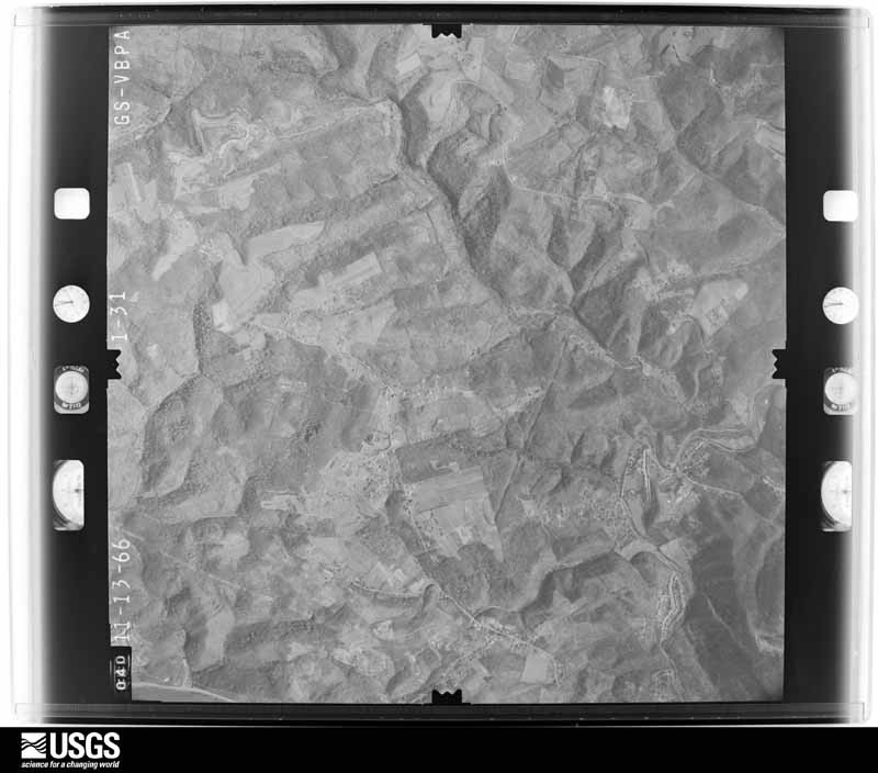
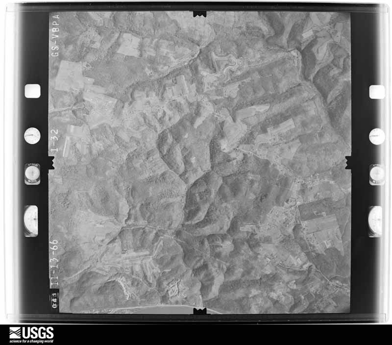
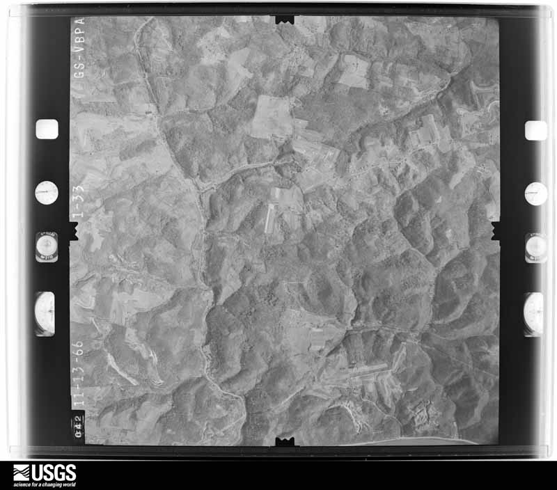
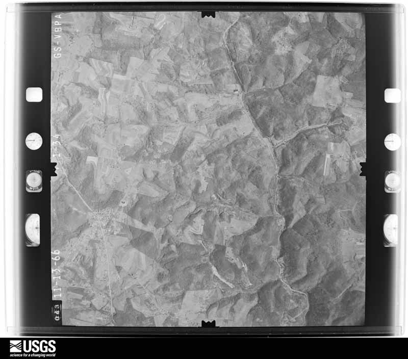
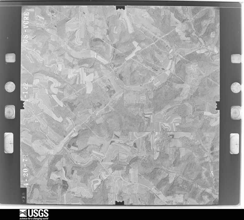
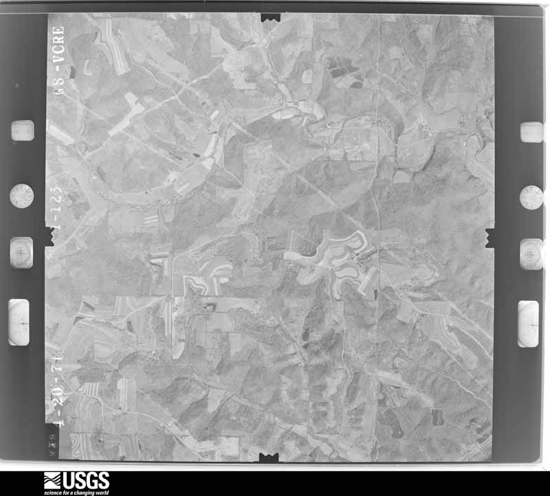
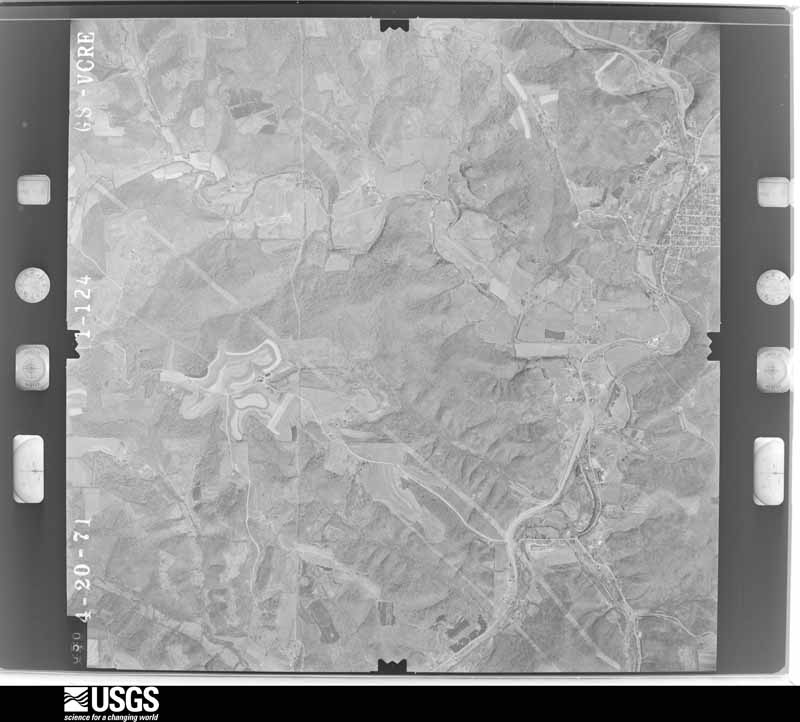
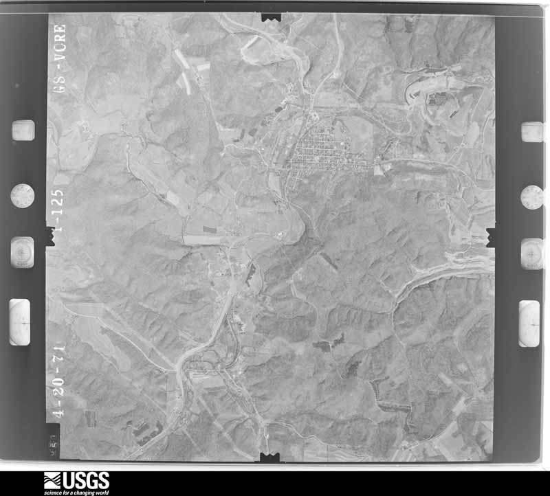
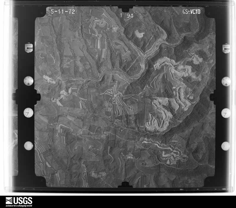
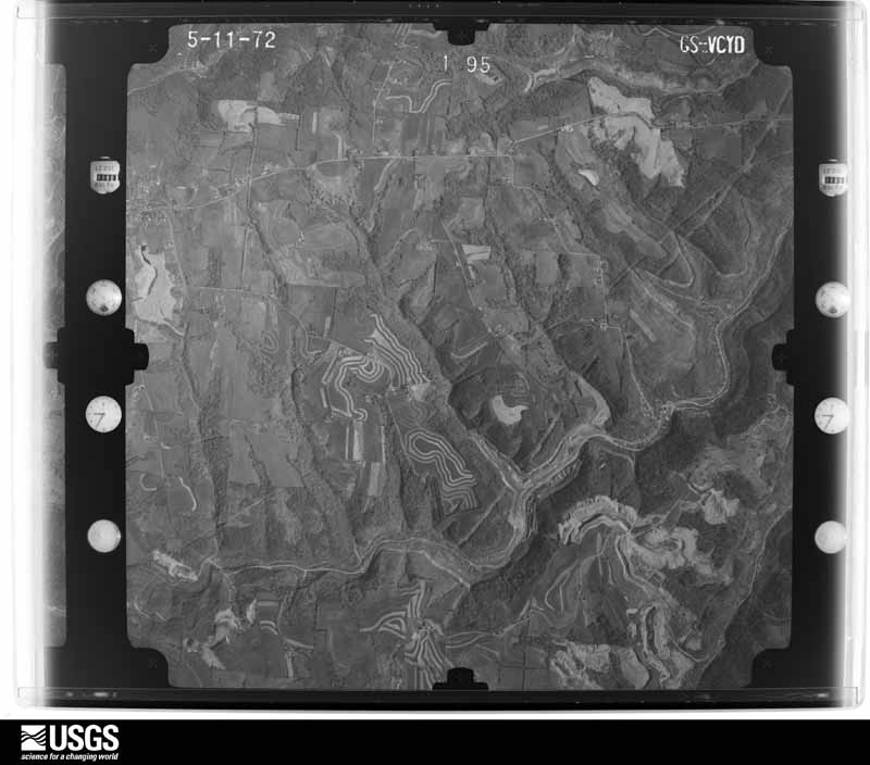
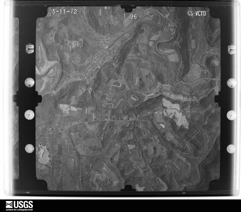
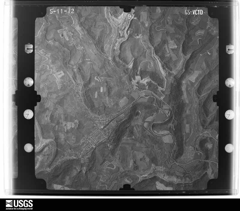
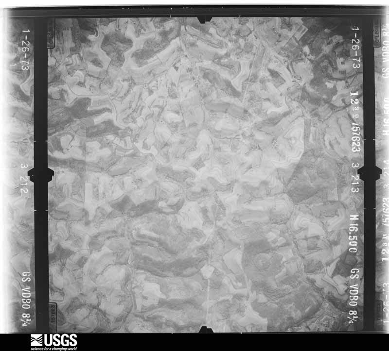
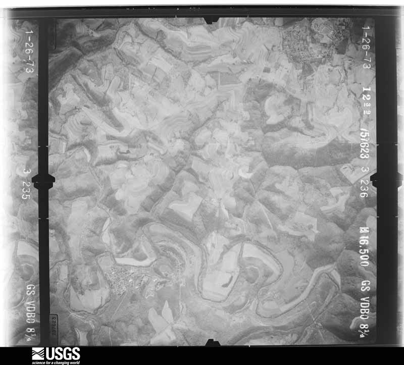
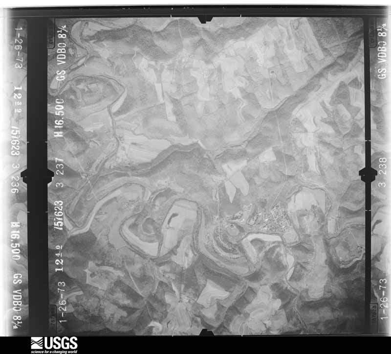
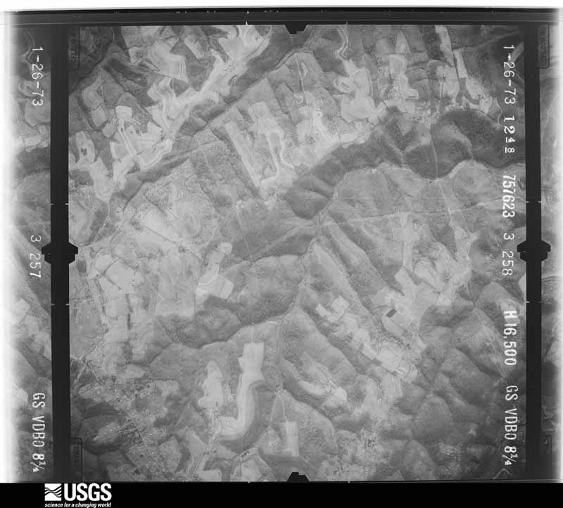
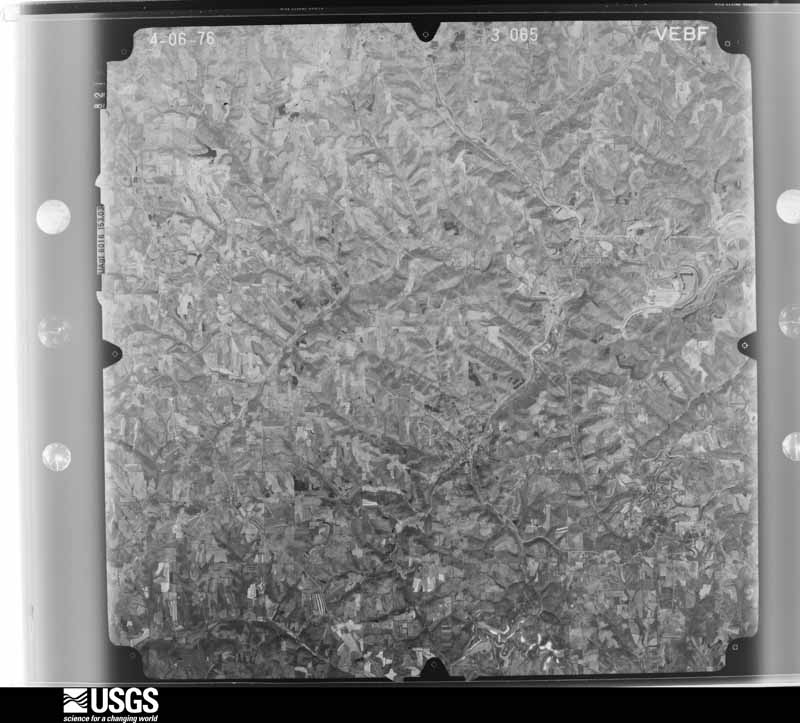
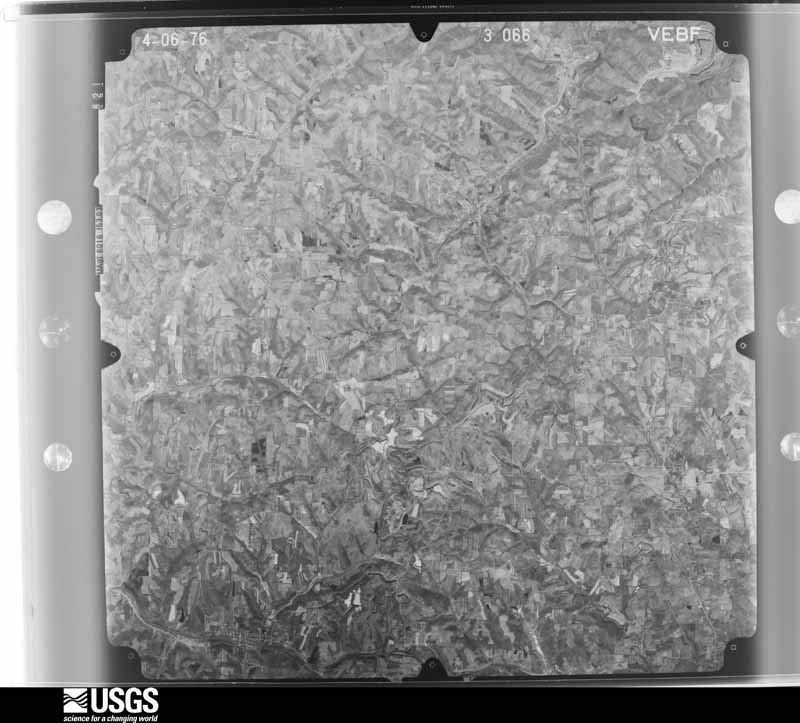
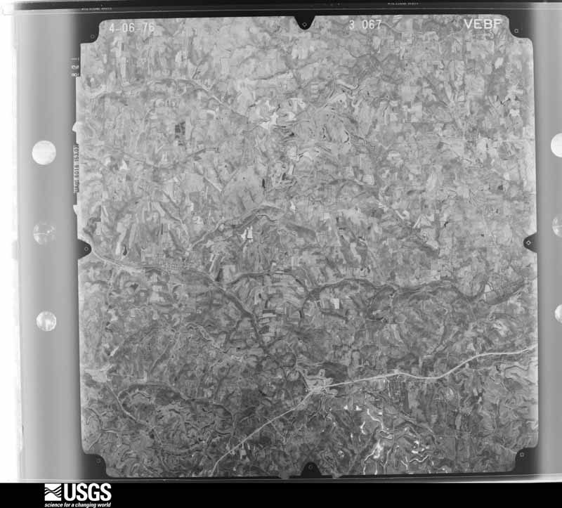
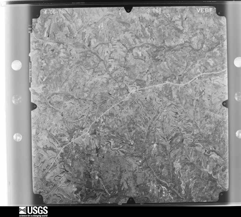
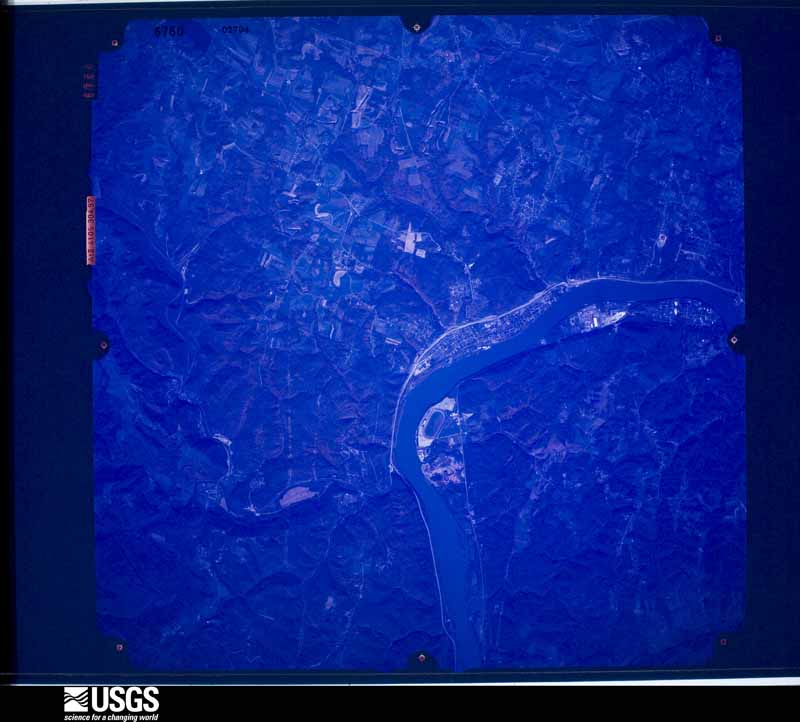
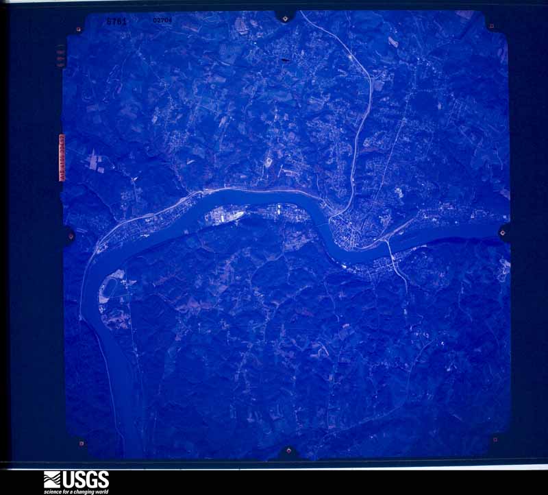
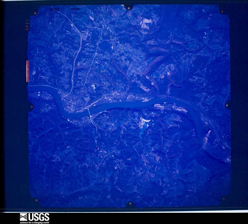
1948-09-01, scale 1:76942. U.S. Geological Survey aerial photograph.1948-09-01, scale 1:76770. U.S. Geological Survey aerial photograph.1948-09-01, scale 1:76770. U.S. Geological Survey aerial photograph.1948-09-01, scale 1:76770. U.S. Geological Survey aerial photograph.1952-06-18, scale 1:23600. U.S. Geological Survey aerial photograph.1954-04-09, scale 1:29000. U.S. Geological Survey aerial photograph.1954-04-09, scale 1:29000. U.S. Geological Survey aerial photograph.1954-04-09, scale 1:29000. U.S. Geological Survey aerial photograph.1954-04-09, scale 1:29000. U.S. Geological Survey aerial photograph.1957-09-01, scale 1:31000. U.S. Geological Survey aerial photograph.1957-09-01, scale 1:31000. U.S. Geological Survey aerial photograph.1957-09-01, scale 1:31000. U.S. Geological Survey aerial photograph.1957-09-01, scale 1:31000. U.S. Geological Survey aerial photograph.1958-04-16, scale 1:27000. U.S. Geological Survey aerial photograph.1958-04-16, scale 1:27000. U.S. Geological Survey aerial photograph.1958-04-16, scale 1:27000. U.S. Geological Survey aerial photograph.1958-04-16, scale 1:27000. U.S. Geological Survey aerial photograph.1959-10-21, scale 1:60000. U.S. Geological Survey aerial photograph.1959-10-21, scale 1:60000. U.S. Geological Survey aerial photograph.1959-10-21, scale 1:60000. U.S. Geological Survey aerial photograph.1959-10-21, scale 1:60000. U.S. Geological Survey aerial photograph.1960-05-03, scale 1:60000. U.S. Geological Survey aerial photograph.1960-05-03, scale 1:60000. U.S. Geological Survey aerial photograph.1960-05-03, scale 1:60000. U.S. Geological Survey aerial photograph.1960-05-03, scale 1:60000. U.S. Geological Survey aerial photograph.1966-11-13, scale 1:24000. U.S. Geological Survey aerial photograph.1966-11-13, scale 1:24000. U.S. Geological Survey aerial photograph.1966-11-13, scale 1:24000. U.S. Geological Survey aerial photograph.1966-11-13, scale 1:24000. U.S. Geological Survey aerial photograph.1971-05-09, scale 1:24000. U.S. Geological Survey aerial photograph.1971-05-09, scale 1:24000. U.S. Geological Survey aerial photograph.1971-05-09, scale 1:24000. U.S. Geological Survey aerial photograph.1971-05-09, scale 1:24000. U.S. Geological Survey aerial photograph.1972-05-11, scale 1:24000. U.S. Geological Survey aerial photograph.1972-05-11, scale 1:24000. U.S. Geological Survey aerial photograph.1972-05-11, scale 1:24000. U.S. Geological Survey aerial photograph.1972-05-11, scale 1:24000. U.S. Geological Survey aerial photograph.1973-02-01, scale 1:24000. U.S. Geological Survey aerial photograph.1973-02-01, scale 1:24000. U.S. Geological Survey aerial photograph.1973-02-01, scale 1:24000. U.S. Geological Survey aerial photograph.1973-02-01, scale 1:24000. U.S. Geological Survey aerial photograph.1976-04-01, scale 1:80000. U.S. Geological Survey aerial photograph.1976-04-01, scale 1:80000. U.S. Geological Survey aerial photograph.1976-04-01, scale 1:80000. U.S. Geological Survey aerial photograph.1976-04-01, scale 1:80000. U.S. Geological Survey aerial photograph.1978-10-29, scale 1:65500. U.S. Geological Survey aerial photograph.1978-10-29, scale 1:65500. U.S. Geological Survey aerial photograph.1978-10-29, scale 1:65500. U.S. Geological Survey aerial photograph.
City directories
3 volumes
The "who lived here, by year" answer:
pre-1929 public-domain directory volumes naming the county's people,
machine-read and searchable as text.
The Eastern, 189149,934 entries, machine-read (76% measured quality)
Weather records
16 stations, 9 gages
The thermometers that kept this
county's weather, and the gages that watched its rivers, as the
federal records hold them. The extremes below are measured values
from those records, not estimates.
Who lived here in 1950, one enumeration
district at a time, as the Census Bureau described each district.
Each row opens its official National Archives result, with Population
Schedules and ED Maps available there.
41-1Brush Creek township, New Alexandria village, comprising part of Cross Creek and Wells townships:
41-2New Alexandria village - That part in Cross Creek township
41-3New Alexandria village - That part in Wells township
41-4Steubenville city, comprising part of Cross Creek, Island Creek and Steubenville townships: Steubenville city - That part of Ward 5 in Cross Creek township Bounded by Sunset Blvd.; Township line; City limits; City limits
41-5Steubenville city - That part of Ward 6 in Cross Creek township Bounded by Argonne Ave., City limits, Township line; Township line; Sunset Blvd.
41-6Steubenville city - That part of Ward 4 in Island Creek township Bounded by City limits; Township line; City limits
41-7Steubenville city - That part of Ward 6 in Island Creek township Bounded by City limits; City limits; Argonne Ave., City limits; City limits
41-8Steubenville city - That part of Ward 1 in Steubenville township Bounded by South, Ward line; City limits; City limits; Poplar Ave., Wells, Bates, 3rd, Slack, High
41-9Steubenville city - That part of Ward 1 in Steubenville township Bounded by South; High, Slack, 3rd; Bates; Wells, Slack, 4th
41-10Steubenville city - That part of Ward 1 in Steubenville township Bounded by South; 4th; Slack; Hill Ave.
41-11Steubenville city - That part of Ward 1 in Steubenville township Bounded by Ward line, South; Hill Ave.; Hill Ave., Spring Ave., Cardinal; Ward line
41-12Steubenville city - That part of Ward 1 in Steubenville township Bounded by Cardinal, Spring Ave., Hill Ave., Slack; Linden Ave.; Locust; Ward line
41-13Steubenville city - That part of Ward 1 in Steubenville township Bounded by Slack; 6th, 5th; 4th, Railroad, Garrett; Linden Ave.
41-14Steubenville city - That part of Ward 1 in Steubenville township Bounded by Slack; 5th; 6th; 6th
41-15Steubenville city - That part of Ward 1 in Steubenville township Bounded by Slack; 4th; 4th; 5th
41-16Steubenville city - That part of Ward 1 in Steubenville township Bounded by Slack; Wells; Poplar Ave.; 4th
41-17Steubenville city - That part of Ward 1 in Steubenville township Bounded by Lincoln Ave.; Poplar Ave.; Prospect Ave.
41-18Steubenville city - That part of Ward 1 in Steubenville township Bounded by Ward line, Locust; Linden Ave., Garrett, Railroad; Lincoln Ave., Lincoln Blvd.; City limits
41-19Steubenville city - That part of Ward 1 in Steubenville township Bounded by City limits, Lincoln Blvd.; Lincoln Ave., Sinclair Ave.; City limits
41-20Steubenville city - That part of Ward 1 in Steubenville township Bounded by Sinclair Ave., Lincoln Ave.; Wilson Ave.; City limits; City limits
41-21Steubenville city - That part of Ward 1 in Steubenville township Bounded by Lincoln Ave., Prospect Ave.; Prospect Ave., Poplar Ave.; City limits; Wilson Ave.
41-22Steubenville city - That part of Ward 2 in Steubenville township Bounded by Market, Ward line; City limits; Adams extended, Adams; Court
41-23Steubenville city - That part of Ward 2 in Steubenville township Bounded by Market; Court; Adams; 6th
41-24Steubenville city - That part of Ward 2 in Steubenville township Bounded by Market; 6th; Adams; 8th
41-25Steubenville city - That part of Ward 2 in Steubenville township Bounded by Market; 8th; Adams; Ward line
41-26Steubenville city - That part of Ward 2 in Steubenville township Bounded by Adams; 8th; Ward line; Ward line
41-27Steubenville city - That part of Ward 2 in Steubenville township Bounded by Adams; 6th; South; 8th
41-28Steubenville city - That part of Ward 2 in Steubenville township Bounded by Adams; Court; South; 6th
41-29Steubenville city - That part of Ward 2 in Steubenville township Bounded by Adams, Adams extended; City limits; Ward line, South; Court
41-30Steubenville city - That part of Ward 3 in Steubenville township Bounded by Dock, Ward line; City limits; Ward line, Market; Lake Erie Ave.
41-31Steubenville city - That part of Ward 3 in Steubenville township Bounded by Dock; Lake Erie Ave.; Market; Court
41-32Steubenville city - That part of Ward 3 in Steubenville Township, excluding Ft. Steuben Hotel Bounded by Dock; Court; Market; 6th
41-33Ft. Steuben Hotel (In Steubenville city, Ward 3, Steubenville township)
41-34Steubenville city - That part of Ward 3 in Steubenville township Bounded by Ward line, Dock; 6th; Market; Liberty Ave., Washington, 8th, North, 7th
41-35Steubenville city - That part of Ward 3 in Steubenville township Bounded by Dock; 7th, North, 8th; Washington; 9th, North, Highland Ave.
41-36Steubenville city - That part of Ward 3 in Steubenville township Bounded by Ward line, Dock; Highland Ave., North, 9th, Washington, Liberty Ave.; Market; Ward line
41-37Steubenville city - That part of Ward 4 in Steubenville township Bounded by Township line; City limits; Ward line, Dock; 3rd, Labelle Ave.
41-38Steubenville city - That part of Ward 4 in Steubenville township Bounded by Township line; Labelle Ave., 4th; Franklin Ave.; 7th, Buckeye, Riverview Ave.
41-39Steubenville city - That part of Ward 4 in Steubenville township Bounded by Township line; Riverview Ave., Buckeye, 7th; Franklin Ave.; Ward line
41-40Steubenville city - That part of Ward 4 in Steubenville township Bounded by Franklin Ave.; 10th, McCook Blvd., 7th, Logan, 7th; Dock, Ward line; Ward line, Wellesley Ave.
41-41Steubenville city - That part of Ward 4 in Steubenville township Bounded by Franklin Ave.; 7th; McCook Blvd.; 10th
41-42Steubenville city - That part of Ward 4 in Steubenville township Bounded by Franklin Ave.; 6th Ave., Logan, 6th; Dock, Ward line; 7th, Logan, 7th
41-43Steubenville city - That part of Ward 4 in Steubenville township Bounded by Franklin Ave.; 4th; Madison Ave.; 6th Ave.
41-44Steubenville city - That part of Ward 4 in Steubenville township, excluding Gill Memorial Hospital Bounded by Madison Ave.; 4th; Clinton; 6th Ave.
41-45Gill Memorial Hospital (In Steubenville city, Ward 4, Steubenville township)
41-46Steubenville city - That part of Ward 4 in Steubenville township Bounded by Clinton; 4th; Dock; 6th, Logan, 6th Ave.
41-47Steubenville city - That part of Ward 4 in Steubenville township Bounded by Labelle Ave.; 3rd; Dock; 4th
41-48Steubenville city - That part of Ward 5 in Steubenville township Bounded by Market, Ward line; Ward line; Adams, W. Adams; Maxwell Ave., State, Maxwell Ave., Orchard, Lawson Ave.
41-49Steubenville city - That part of Ward 5 in Steubenville township Bounded by Orchard; Maxwell Ave., State, Maxwell Ave.; W. Adams; Ash, Cedar Ave., Plum, Lawson Ave.
41-50Steubenville city - That part of Ward 5 in Steubenville township Bounded by Sunset Blvd., Market Lawson Ave., Plum, Cedar Ave., Ash, W. Adams, Ross Park Blvd., Cardinal, Ward line; Ward line, City limits; Township line
41-51Steubenville city - That part of Ward 5 in Steubenville township Bounded by W. Adams, Adams; Ward line; Ward Pl., Grandview Ave., Claire Ave., Lawson Ave., Ross Park Pl.; Ross Park Blvd.
41-52Steubenville city - That part of Ward 5 in Steubenville township Bounded by Ross Park Pl., Lawson Ave., Claire Ave., Grandview Ave., Ward Pl.; Ward line; Cardinal; Ross Park Blvd.
41-53Steubenville city - That part of Ward 6 in Steubenville township Bounded by Ward line; Ward line; Ward line, Market; Belleview Blvd., Euclid Ave., Pittsburgh, Ridge Ave., South Bend Blvd., Belleview Blvd., Arlington Ave., Carnegie, Wellesley
41-54Steubenville city - That part of Ward 6 in Steubenville township Bounded by Township line; Ward line, Franklin Ave., Wellesley, Carnegie; Oregon Ave., McDowell Ave.; Woodlawn Rd., Franklin Ave., Brady Ave.
41-55Steubenville city - That part of Ward 6 in Steubenville township Bounded by Arlington Ave.; Belleview Blvd.; Wellesley Ave.; Carnegie
41-56Steubenville city - That part of Ward 6 in Steubenville township Bounded by Wellesley Ave.; Belleview Blvd.; Pennsylvania Ave.; Carnegie
41-57Steubenville city - That part of Ward 6 in Steubenville township Bounded by Pennsylvania Ave.; Belleview Blvd.; South Bend Blvd., Ridge Ave.; Pittsburgh
41-58Steubenville city - That part of Ward 6 in Steubenville township Bounded by Oregon Ave., Carnegie, Pennsylvania Ave.; Pittsburgh; Ridge Ave.; McDowell Ave.
41-59Steubenville city - That part of Ward 6 in Steubenville township Bounded by Ridge Ave.; Pittsburgh, Euclid Ave., Belleview Blvd.; Belleview Blvd., Market; McDowell Ave.
41-60Windsor township: Windsor township - That part north of State Hwy. 217
41-61Steubenville city - That part of Ward 6 in Steubenville township Bounded by Township line; Brady Ave.; Market, Sunset Blvd.; Township line
41-62Wintersville village, comprising part of Cross Creek and Island Creek townships: Wintersville village - That part in Cross Creek township
41-63Wintersville village - That part in Island Creek township
41-64Cross Creek township, outside Steubenville city and New Alexandria and Wintersville villages: Cross Creek township - That part north of State Hwy. 26 and east of County Hwy. 33, outside Steubenville city and Wintersville village
41-65Cross Creek township - That part west of County Hwy. 33 and north and east of Pennsylvania Railroad, outside Wintersville village
41-66Cross Creek township - That part south and west of Pennsylvania Railroad, outside New Alexandria village
41-67Cross Creek township - That part south and east of State Hwy. 26 and north of Pennsylvania Railroad (Remainder of Cross Creek township is in Steubensville city and New Alexandria and Wintersville villages)
41-68Toronto city, comprising part of Island Creek and Knox townships: Toronto city - That part of Ward 1 in Island Creek township Bounded by Trenton; City limits; City limits; City limits, Valley View, Madison
41-69Toronto city - That part of Ward 1 in Island Creek township Bounded by Trenton; Madison; Valley View; City limits
41-70Toronto city - That part of Ward 2 in Island Creek township Bounded by Township line; City limits; Loretto Ave.; Findley
41-71Toronto city - That part of Ward 2 in Island Creek township Bounded by Township line; Findley; Loretto Ave.; City limits
41-72Toronto city - That part of Ward 2 in Island Creek township Bounded by Loretto Ave.; City limits; Trenton; City limits
41-73Toronto city - That part of Ward 3 in Knox township Bounded by Cleveland; City limits; Township line; 3rd
41-74Toronto city - That part of Ward 3 in Knox township Bounded by Ward line, Cleveland; 3rd; Township line; Chesapeake and Ohio Railway
41-75Toronto city - That part of Ward 3 in Knox township Bounded by Ward line; Chesapeake and Ohio Railway; Clark, 7th, Niagara, River View, Township line; City limits
41-76Toronto city - That part of Ward 3 in Knox township Bounded by Niagara, 7th, Clark; Chesapeake and Ohio Railway; Township line; River View
41-77Toronto city - That part of Ward 4 in Knox township Bounded by City limits; City limits; Cleveland; 4th
41-78Toronto city - That part of Ward 4 in Knox township Bounded by City limits; 4th; Cleveland, Ward line; City limits
41-79Island Creek township, outside Steubenville and Toronto cities and Wintersville village: Island Creek township - That part east of State Hwy. 213 and north of Hale Run Creek, outside Toronto city
41-80Island Creek township - That part west of State Hwy. 213 and north of County Hwy. 45
41-81Island Creek township - That part west of State Hwy. 213 and south of County Hwy. 45, outside Steubenville city and Wintersville village
41-82Island Creek township - That part east of State Hwy. 213 and south of Hale Run Creek, outside Steubenville city (Remainder of Island Creek township is in Steubenville and Toronto cities and Wintersville village)
41-83Stratton village, comprising part of Knox and Saline townships: Stratton village - That part in Knox township
41-84Stratton village - That part in Saline township
41-85Knox township, outside Toronto city and Stratton village: Empire village
41-86Knox township - That part east of State Hwy. 213, outside Toronto city and Empire and Stratton villages
41-87Knox township - That part west of State Hwy. 213 (Remainder of Knox township is in Toronto city and Stratton village)
41-88Dillonvale village, comprising part of Mt. Pleasant and Smithfield townships: Dillonvale village - That part in Mt. Pleasant township southeast of Wheeling and Lake Erie Railway
41-89Dillonvale village - That part in Mt. Pleasant township northwest of Wheeling and Lake Erie Railway
41-90Dillonvale village - That part in Smithfield township
41-91Mount Pleasant township, outside Dillonvale village: Mount Pleasant village
41-92Mount Pleasant township - That part north of U.S. Hwy. 250 and State Hwy. 150, outside Dillonvale and Mount Pleasant villages
41-96Salem township - That part outside Richmond village
41-97Saline township, outside Stratton village: Irondale village
41-98Saline township - That part west and north of State Hwy. 213, outside Irondale village
41-99Saline township - That part east and south of State Hwy. 213, outside Irondale and Stratton villages (Remainder of Saline township is in Stratton village)
41-100Smithfield township, outside Dillonvale village: Adena village: Adena village - That part northeast of Wheeling and Lake Erie Railway, east of Harrisville & Adena Pike and Bridge
41-101Adena village - That part southwest of Wheeling and Lake Erie Railway, west of Harrisville & Adena Pike and Bridge
41-102Smithfield village: Smithfield village - That part east of 4th and Red Ridge Rd.
41-103Smithfield village - That part west of 4th and Red Ridge Rd.
41-105Smithfield township - That part east of State Hwy. 152, outside Dillonvale and Smithfield villages
41-106Smithfield township - That part west of State Hwy. 152 and east of the New York Central Railroad, outside Smithfield village and Piney Fork - Newell unincorporated (See separate map for boundaries of Piney Fork - Newell)
41-107Smithfield township - That part west of the New York Central Railroad and east of Perrin Run Creek, outside Dillonvale village and Piney Fork - Newell, unincorporated (See separate map for boundaries of Piney Fork - Newell)
41-108Smithfield township - That part west of Perrin Run Creek, outside Adena village (Remainder of Smithfield township is in Dillonvale village)
41-109Springfield township: Amsterdam village: Amsterdam village - That part Bounded by Village limits; Village limits; Village limits, Liberty, Lake Erie, Alliance and Wheeling Railroad, Springfield; Village limits
41-110Amsterdam village - That part Bounded by Springfield, Lake Erie, Alliance and Wheeling Railroad, Liberty; Village limits; Village limits; Village limits
41-111Bergholz village: Bergholz village - That part east of State Hwy. 164 and Monroe, and south of 1st
41-112Bergholz village - That part west of State Hwy. 164 and Monroe, and north of 1st
41-113Springfield township - That part east of State Hwy. 164 and County Hwy. 75, outside Bergholz village
41-114Springfield township - That part west of State Hwy. 164 and County Hwy. 75, outside Amsterdam and Bergholz villages
41-115Steubenville township, outside Steubenville city: Mingo Junction city: Mingo Junction city - That part comprising Ward 1 Bounded by City limits; City limits; City limits; Pittsburgh, Cincinnati, Chicago and St. Louis Railroad
41-116Mingo Junction city - That part of Ward Bounded by Ravine; Pittsburgh, Cincinnati, Chicago and St. Louis Railroad; Pittsburgh, Cincinnati, Chicago and St. Louis Railroad; City limits, Murdock Ave.
41-117Mingo Junction city - That part of Ward 2 Bounded by Ravine; Murdock Ave.; Murdock Ave.; City limits, Corporation
41-118Mingo Junction city - That part of Ward 3 Bounded by McLister Ave., Ward line, Pleasant Way, Potter, Ward line; Pittsburgh, Cincinnati, Chicago and St. Louis Railroad; Ward line, Ravine, Murdock Ave., Ravine; Corporation
41-119Mingo Junction city - That part of Ward 3 Bounded by City limits; Corporation; City limits; City limits
41-120Mingo Junction city - That part of Ward 4 Bounded by City limits; Pittsburgh, Cincinnati, Chicago and St. Louis Railroad; Ward line, Commercial Ave., Lock Hart; Pleasant Way, Logan Ave.
41-121Mingo Junction city - That part of Ward 4 Bounded by City limits; Logan Ave., Pleasant Way, Lock Hart, Commercial Ave.; Ward line, Potter, Pleasant Way, Ward line, McLister Ave.; City limits
41-122Deandale - Georges Run, unincorporated Bounded by Pittsburgh West Virginia Railroad, Mingo Junction city limits; State line (West Bank Ohio River); Due east line from the intersection of State Hwy. 7 and abandoned spur of Pennsylvania Railroad, to the State line, south along the abandoned spur to a point 1/4 mile south of State Hwy. 151, offset line 1/4 mile south of State Hwy. 151; High tension power line
41-123Steubenville township - That part north of Pennsylvania Railroad, outside Mingo Junction and Steubenville cities
41-124Steubenville township - That part south of Pennsylvania Railroad, outside Mingo Junction city and Deandale - Georges Run, unincorporated (See separate map for boundaries of Deandale - Georges Run) (Remainder of Steubenville township is in Steubenville city)
41-126Tiltonsville village: Tiltonsville village - That part Bounded by Village limits; Village limits; Village limits, 3rd; Cincinnati and Portsmouth Railroad
41-127Tiltonsville village - That part Bounded by Village limits; Cincinnati and Portsmouth Railroad; Village limits; Village limits
41-128Tiltonsville village - That part Bounded by 3rd; Village limits; Village limits; Cincinnati and Portsmouth Railroad
41-129Yorkville village - That part in Jefferson County comprising part of Warren township: Yorkville village - That part east of Lake Erie, Alliance and Wheeling Railroad
41-130Yorkville village - That part west of Lake Erie, Alliance and Wheeling Railroad (Remainder of Yorkville village is in Peace township, Belmont County)
41-131Warren township - That part northeast of County Hwy. 15, outside Rayland village
41-132Warren township - That part west of County Hwy. 15 and north of State Hwy. 150
41-133Warren township - That part south of State Hwy. 150 and west of County Hwys. 1 and 2, outside Rayland village
41-134Warren township - That part east of County Hwys. 1 and 2, outside Rayland, Tiltonsville and Yorkville villages
41-136Wayne township - That part north of U.S. Hwy. 22, outside Bloomfield village
41-137Wayne township - That part south of U.S. Hwy. 22, outside Bloomfield village
41-138Wells township, outside New Alexandria village: Brilliant village: Brilliant village - That part Bounded by Village limits; Village limits; Village limits; Property line of W.C. Hudson, State Hwy. 7, Ohio, Ohio extended
41-139Brilliant village - That part Bounded by Village limits; Ohio extended, Ohio, State Hwy. 7, Property line of W.C. Hudson; Village limits, Village limits
41-140Wells township - That part north of State Hwy. 151, east of County Hwy. 18 and northeast of Salt Run Creek, outside Brilliant and New Alexandria villages
41-141Wells township - That part south of State Hwy. 151, west of County Hwy. 18 and southwest of Salt Run Creek (Remainder of Wells township is in New Alexandria village)
Businesses named in the atlases
55 businesses
Every Sanborn volume opens with a printed index
naming the town's mills, tanneries, hotels and works by proprietor. Those
indexes were read off the scanned sheets by machine and then matched to each
other, so a business surveyed four times appears here once, with the years it
survived. 9 of these 55 were named in more than one atlas. Each carries a
crop of the line it was read from: the spelling is the recogniser's and the
1880s lithographer's, and the scan behind it is the proof.
Every wildfire the federal occurrence
database records inside this county: 136 of them, burning about
321 acres. 0 started naturally and 13 were
recorded as arson. Each settlement page carries the fires within five
miles of it.
Reported cause
Fires
Debris and open burning
55
Missing data/not specified/undetermined
27
Arson/incendiarism
13
Power generation/transmission/distribution
11
Equipment and vehicle use
11
Misuse of fire by a minor
6
Recreation and ceremony
5
Smoking
4
Other causes
2
Fireworks
1
Railroad operations and maintenance
1
The five largest, by the area the report
gives. One of them was set deliberately.
Date
Cause
Size
Reported by
Name on the report
15 November 2014
Missing data/not specified/undetermined
30 acres
Ohio Department of Natural Resources
not named
8 April 2013
Missing data/not specified/undetermined
25 acres
Ohio Department of Natural Resources
not named
14 March 2014
Equipment and vehicle use
20 acres
Ohio Department of Natural Resources
not named
8 April 2013
Missing data/not specified/undetermined
15 acres
Ohio Department of Natural Resources
not named
10 March 2013
Missing data/not specified/undetermined
15 acres
Ohio Department of Natural Resources
not named
21 April 2018
Missing data/not specified/undetermined
12 acres
Ohio Department of Natural Resources
12909
1 April 2014
Recreation and ceremony
10 acres
Ohio Department of Natural Resources
not named
20 February 2016
Arson/incendiarism
10 acres
Ohio Department of Natural Resources
3674
Every settlement page carries the fires within five
miles of it - see the settlement index below.
Storms, 1954 to
2026
60 of 353 shown
The
NOAA Storm Events Database holds
353 reports for this county, causing 1 death,
3 injuries and about $10,391,500 in recorded property damage.
Each settlement page carries the reports that name it.
Kind of event
Reports
Thunderstorm Wind
225
Hail
77
Flash Flood
34
Tornado
8
Flood
5
Heavy Rain
3
Lightning
1
The most serious of them, by death, then
injury, then recorded damage. The accounts are quoted exactly as the
forecast office filed them.
The Ohio State Highway Patrol reported a large tree branch fell onto a car travelling north on Jefferson 17, four tenths of a mile south of Jefferson 15 in Smithfield Township. The large branch fell from very high in the tree, striking the vehicle longways and creating a deep V shape down the vehicles roof. The driver, a 62 year old male, was killed almost instantly. His 61 year old wife was injured.
Several waves of thunderstorms continued to pass over Jefferson County, with major flooding reported across the region. Numerous homes across the county were damaged, with 50-60 homes in the Glen Robbins area receiving severe damage as the Little Short Creek flooded. It was estimated that around 40 vehicles were destroyed from the flash flood waters.
A newspaper reported widespread damage from flash flooding, with numerous roads and bridges damaged. County roads 18, 17, 7, 8, 15A, 1 and 74 will need repairs, with a bridge on route 115 destroyed.
Emergency management reported large trees down from near the intersection of Highways 43 and 22 to the Jefferson County Airport and east across the city of Steubenville. 3 hangars at the airport were significantly damaged with loss of roofs and structural damage. Trees and power lines were down across much the the Steubenville area.
An EF-1 tornado, observed by photograph and confirmed via damage |survey, began near Highway 22 immediately to the northwest of |Wintersville, Ohio. Tree and minor roof damage were first observed|along Caravel Place and Harmony Drive.||The tornado continued southeast through the west side of |Wintersville, producing damage to numerous properties along Bantam|Ridge Road, while becoming stronger and wider. Moderate damage |was sustained to a single-family residence at the corner of Murphy|Rd. A complete loss of an attached garage, partial loss of the |roof, and extensive damage to fencing and trees were also |observed. In addition, a 2x4 was found pierced through a church |exterior wall two properties south, and signage from the church |was found upstream on the residential property. ||Approximately one half mile to the southeast, a second single- |family residence was found to have suffered partial roof loss from|uplifting, in addition to having numerous soft and hard-wood |trees snapped or uprooted. Metal roofing from the aformentioned |property was found deposited on this property as well. An exterior|shed was also overturned. The maximum damage rating for this |tornado was assigned at this location, with a wind speed of 95 MPH estimated.||Scattered damage to trees, either uprooted or with large branches|snapped, continued approximately one mile to the southeast, along|with minor roof shingle damage. The tornado appears to have |dissipated prior to intersecting Fernwood Rd., and is consistent |with radar signatures.
A ground and aerial drone survey confirmed that a second tornado |formed approximately on the Carroll and Jefferson County line, a |little over two miles north-northwest of Bergholz, Ohio. It is |possible that this second tornado formed inside Carroll County, |but could not be confirmed due to limited access. ||Damage from this tornado was exclusively to trees, although a |residence at the intersection of TR263 and Valleyview Dr suffered |minor exterior damage caused from falling limbs and powerlines. |Drone footage from a densely wooded area northwest of Bergholz |indicated scattered to occasionally numerous downed trees which |were uprooted, snapped and splintered along a focused and |convergent path. Tree damage became more sporadic as the tornado |finally dissipated across the extreme southwest portion of |Bergholz along Washington St.||Given the coverage and damage that occurred to both hard and |softwood trees along the damage path, a higher end EF-1 rating is |assigned to this tornado, with a maximum wind speed of 105 MPH.
The National Weather Service conducted a survey off Township Road|102 just southwest of Mt. Pleasant, Ohio. The damage was confined|to hardwood and softwood trees. They were either snapped at the |trunk, missing large branches, or uprooted. There was a 100 year |old oak tree that was uprooted. The only structure damage was to a|house, which loss less than 20% of its shingles. |Estimated Maximum Wind Speed...100 mph.|Estimated damage cost was provided by the local emergency manager.
Route 152 flooded near Smithfield. County roads 4, 7, 8, 11,17, 18, and 21 flooded in Dillonvale and Wells Twp and elsewhere. At least 20 homes suffered flood damage. 15 families were evacuated. Asphalt on some county roads was ripped up.
An EF1 tornado was confirmed by a NWS storm survey with maximum winds of 90 MPH. A supercell thunderstorm produced a tornado that touched down 10.5 miles east of Carrollton in eastern Carroll county and entered Jefferson county just north of the intersection of of Township Highway 317 and SR 164 around 1701EST. The tornado continued into northwest Jefferson county before dissipating around 1705EST 4 miles northeast of Bergholz with a total path length of approximately 4 miles. The maximum width was about 300 yds. The tornado was EF1 in both counties with trees toppled or snapped. Structural damage included a porch roof, shingles off roofs, broken windows and siding torn off homes. A chimney was knocked down and numerous outbuildings suffered roof or wall damage. A large tree also fell on a mobile home.
Two to three inches of rainfall over just over an hour caused flash flooding across much of Steubenville. Several houses were reported to be inundated with water as well as several road closures due to high water.
Thunderstorm winds produced damage at several locations across southern portions of the county. In Ralyand, thunderstorm winds downed a large tree. Numerous trees were blown down in Mount Pleasant and Dillonvale. A roof was also blown off of a house in Dillonvale.
Trees down in Yorkville, Tiltonsville, Brilliant, Toronto, and Irondale. Trees and live power lines were blown down onto county roads 10, 15, 16, and 41.
Thunderstorm winds blew numerous large trees down across the Winterville and surrounding areas.
Mines and
quarries
11 recorded
The Survey's mineral resources record
lists 11 workings inside this county. 5 still
produce and 6 are closed or unrecorded. Each settlement
page carries the workings within five miles of it.
Commodity
Workings
Clay
7
Iron
2
Iron, Chromium
1
Zirconium
1
The least common of them first, because a
county's hundredth gravel pit says nothing its first ten did not.
Museum specimens collected inside this
county and catalogued with a date and a place: 1,005 of them, by
kingdom 647 animalia, 287 plantae, 70 fungi, 1 chromista. Each is a physical object in a named collection, not a
sighting. Held by CM, Ohio State University - Fish Division, Columbus, OH (OSUM), Ohio State University - Mammal Division, Columbus, OH (OSUM), INHS, Ohio State University - Amphibian Division, Columbus, OH (OSUM), USDA-ARS among others, and each settlement page carries
the specimens collected near it.
The oldest of them. A specimen proves
something was collected on that day; its absence proves nothing.
Genealogical Selections from the Steubenville Weekly Gazette, 1891: Steubenville, Jefferson County, Ohio devotes a chapter to each township:
its boundaries and streams, who settled it and when, the mills, the
schools and the churches. All 2 are reproduced here in full. Each row
shows the township's own shape and where it lies in the county, drawn from
the Census Bureau's boundary. Which settlements belong to which township
is computed from that same boundary, not taken from the book.
Everyone Genealogical Selections from the Steubenville Weekly Gazette, 1891: Steubenville, Jefferson County, Ohio stops to write about, with
the section that describes them. Among them are the men who founded the
place and governed the Territory. Each name opens the passage itself, in
the words of 1891.
Named settlements recorded in the Geographic Names
Information System, each with the topographic sheets covering it. Villages,
hamlets and abandoned places alike. Each is shown with the watercourse or
landform it stands on and the survey quadrangle it falls on. The 6
places that were also surveyed for fire insurance come first, with the
number of atlases and photographs held for them.
The complete index, with nothing left out.
Each of these is a separate record with its own page: a federal survey
report, or the case file that argued a property on to the National
Register. Both are public domain and reproduced word for word.
Topographic sheets. USGS Historical Topographic Map Collection, county index, measured from the bulk metadata.
Fire insurance maps. Library of Congress Sanborn collection, faceted to this county.
Photographs. Each place queried individually against the Library of Congress Prints and Photographs search.
Wildfire. Short, Karen C. 2022. Spatial wildfire occurrence data for the United States, 1992-2020 [FPA_FOD_20221014]. 6th Edition. Fort Collins, CO: Forest Service Research Data Archive. https://doi.org/10.2737/RDS-2013-0009.6 Collected with United States Government funding and usable without additional permissions or fees.
Specimens. Global Biodiversity Information Facility (GBIF), https://www.gbif.org/. Only records licensed CC0 or CC BY are used. Records licensed CC BY-NC are excluded because this site carries advertising. Images are checked individually and any whose licence is non-commercial, no-derivatives or unreadable is refused.
Mines and quarries. USGS Mineral Resources Data System (MRDS) https://mrdata.usgs.gov/mrds/ A work of the United States government, no copyright under 17 U.S.C. 105.
Storms. NOAA National Centers for Environmental Information, Storm Events Database https://www.ncei.noaa.gov/stormevents/ A work of the United States government, no copyright under 17 U.S.C. 105. Narratives are quoted verbatim from the National Weather Service report and are not edited or summarised.
 Block
Block