 Block
Block
Poast Town, Ohio
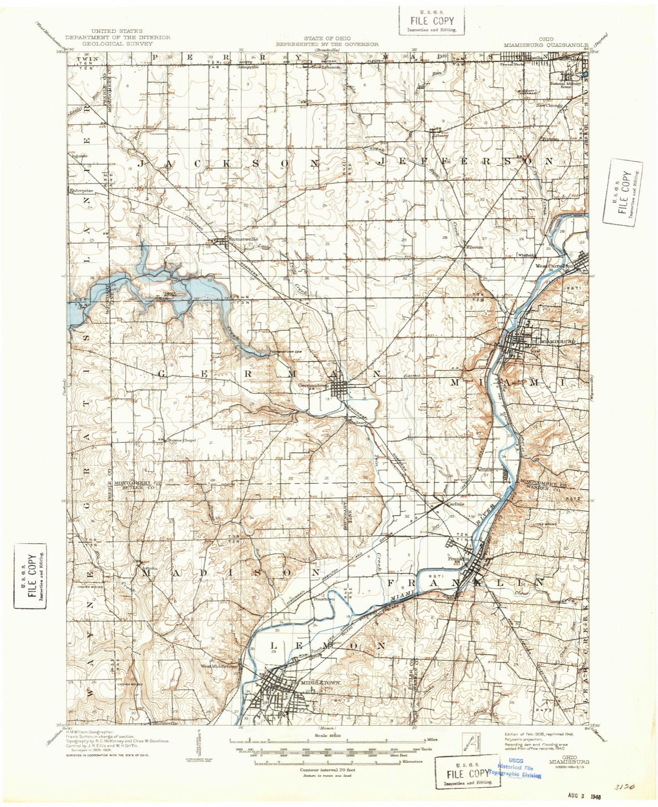
12 topographic sheets cover this place, the earliest surveyed in 1908 and the latest in 1986. It stands in Madison Township. It lies in ZIP code area 45042. It stands on Browns Run. The Survey maps it on the Middletown quadrangle.
Then and now
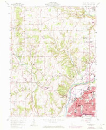
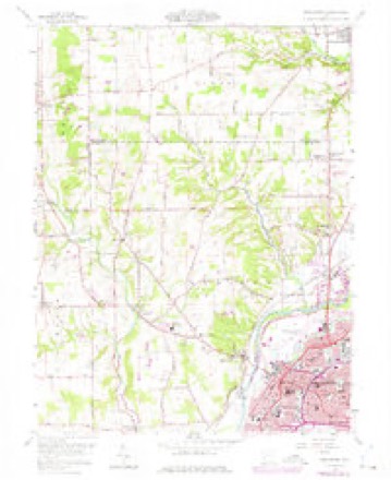
1908 to 1986The same ground, surveyed 78 years apart. Drag the handle to wipe between them. Both sheets are United States Geological Survey originals; neither has been altered.

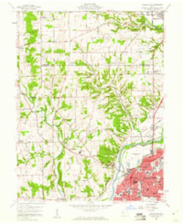
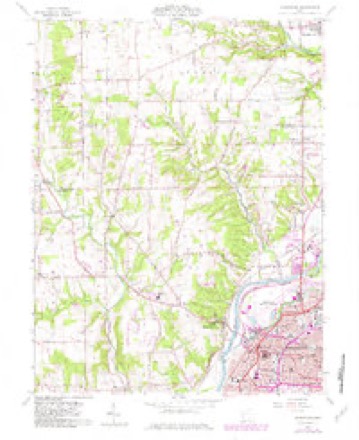
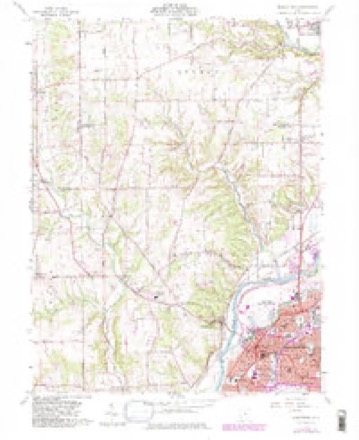
Topographic sheets covering this place
12 sheetsMatched by testing this settlement's coordinate against the published boundary of every sheet in the United States Geological Survey's historical collection. Each opens the scanned sheet at the Survey.
- 1908 USGS Miamisburg quadrangle1:62500
- 1953 USGS Cincinnati quadrangle1:250000
- 1953 USGS Cincinnati quadrangle1:250000
- 1953 USGS Cincinnati quadrangle1:250000
- 1957 USGS Cincinnati quadrangle1:250000
- 1959 USGS Middletown quadrangle1:24000
- 1959 USGS Middletown quadrangle1:24000
- 1959 USGS Middletown quadrangle1:24000
- 1959 USGS Middletown quadrangle1:24000
- 1959 USGS Middletown quadrangle1:24000
- 1986 USGS Dayton quadrangle1:100000
- 1986 USGS Dayton quadrangle1:100000






In the county-history sources
11,332 words on this townshipA History and Biographical Cyclopædia of Butler County, Ohio : with Illustrations and Sketches of Its Representative Men and Pioneers, published 1882 names this settlement in its chapter on Madison Township. These are the passages that mention it, exactly as the scans read.
Woodsdale is situated on Section 19. Part of the place lies in St. Clair Township. It was founded in the year 1867 by the Beckett Paper Company, through the influence of Samuel Augspurger, one of the most influential business men at that time of Madison Township. Samuel Augspurger sold a portion of his interest in the real estate to the company, which had at that time a stock of ninety thousand dollars. The stock was increased in 1869 to one hundred and twenty-two thousand dollars. After a success for some years a fire broke out in the rag room of the paper-mill, and consumed the entire mill, except brick walls and smoke stacks. In the year 1880 the company commenced to rebuild, but have been delayed. When Samuel Augspurger sold to the company he reserved a water right, the company to keep up the dam and race, as he has a large saw and flour mills. In the year 1864 Samuel Augspurger built a saw mill ninety feet long and two stories high. The mill cost twelve thousand dollars, and a flour-mill of brick cost him fifteen thousand dollars. There is a post-office and dry They, have a school-house of brick, well furnished with seats, maps and books. The town has thirty-five buildings, including mills.
Passage source: A History and Biographical Cyclopædia of Butler County, Ohio : with Illustrations and Sketches of Its Representative Men and Pioneers, published 1882.
Machine-read from a century-old scan, so expect the errors a machine makes: misspelled names, dropped words, stray characters.
Specimens collected near this place
12 of 149 shownRegional context, not property-specific evidence. Museums hold 149 specimens collected within 10 miles of Poast Town between 1880 and 1973: 113 Fungi, 32 Animalia, 4 Plantae. 12 distinct Species records are shown. Collected by ?, A. C. Billups, A.R. Gaufin, H.H. Ross and others. Each is a physical object with a catalogue number, and each entry opens the museum's record. This is what was collected and kept, not a survey of what lives here - nothing can be concluded from a species being absent.
| Image | Species | Year | Collected by | Where, as recorded |
|---|---|---|---|---|
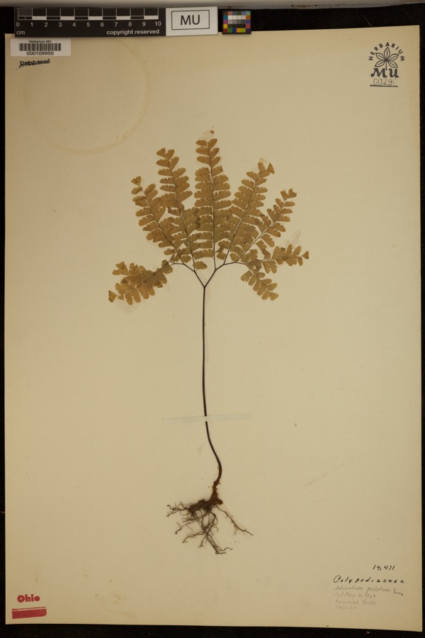 | Adiantum pedatum L. | 1929 | ? | Hueston Woods. |
| Liochlorophis vernalis (Harlan, 1827) | 1880 | not recorded | Monroe | |
 | Storeria dekayi wrightorum Trapido, 1944 | 1880 | not recorded | Monroe |
 | Thamnophis sirtalis (Linnaeus, 1758) | 1880 | not recorded | Monroe |
 | Physella gyrina (Say, 1821) | 1898 | A. C. Billups | Middletown |
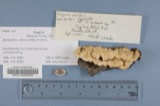 | Polyporus adustus (Willd.) Fr. | 1910 | Overholts L. O. | West Elkton |
| Mycosphaerellaceae | 1914 | Overholts, L. O. | West Elkton | |
| Polyporus biformis Fr. | 1914 | L.O. Overholts | West Elkton | |
| Polyporus durescens Overh. | 1914 | Overholts L. O. | West Elkton | |
| Russula flocculosa Burl. | 1914 | L. O. Overholts | ||
| Stereum bicolor (Pers.) Fr. | 1914 | Overholts L. O. | West Elkton | |
| Clavaria P.Micheli, 1729 | 1917 | Overholts L. O. | West Elkton |
All 149 specimens within 10 miles, at the Global Biodiversity Information Facility.
Mines and quarries near this place
7 within 5 milesRegional context, not property-specific evidence. The federal mineral resources record lists 7 workings within 5 miles of Poast Town: 3 past producers, 2 producers, 1 unknown, 1 plant. 3 still produce. What was taken out: Sand and Gravel, Construction, Iron. Distance is straight-line from the map coordinates, so a quarry counted here may appear on a neighbouring settlement's page as well.
| Where | Site | Commodity | Status | Recorded |
|---|---|---|---|---|
| Armco Inc/ Middletown, Ohio | Iron | Unknown | ||
| Mecco Inc. | Sand and Gravel, Construction | Producer | ||
| Mecco, Incorporated Plt | Sand and Gravel, Construction | Past Producer | Sedimentary | |
| Middletown Pit | Sand and Gravel, Construction | Past Producer | Sedimentary | |
| Moorman Pit | Sand and Gravel, Construction | Past Producer | Sedimentary | |
| Moorman Pit | Sand and Gravel, Construction | Producer | ||
| Moorman Pit & Mill | Sand and Gravel, Construction | Plant |
Storms near this place
5 since 2011Regional context, not property-specific evidence. The National Weather Service names Poast Town in 5 storm reports between 2011 and 2026: 2 heavy rain, 2 flood, 1 thunderstorm wind. No death or injury is recorded in these reports. Each account below is quoted exactly as the forecast office filed it, from the NOAA Storm Events Database, and each date opens the federal record of that event.
| When | Event | Place named | Harm | What the report says |
|---|---|---|---|---|
| March 2026 | Flood | Poast Town | $10,000 | Multiple cars were stranded in high water along Germantown Road, under a railroad crossing. |
| June 2013 | Heavy Rain | Poast Town | $3,000 | A car was stranded in 3 feet of water under a railroad overpass along State Route 4 due to heavy rainfall. |
| June 2016 | Thunderstorm Wind | Poast Town | $1,000 | A large tree was snapped in Madison Township in the 6500 block of Germantown Road. |
| December 2013 | Flood | Poast Town | - | Catalina Court was closed due to high water caused by heavy rainfall. |
| September 2011 | Heavy Rain | Poast Town | - | High water due to heavy rain was reported on roadways. |
Nearest settlements
The eight closest, with where each one stands in the county. Distances are straight-line, computed from the Geographic Names Information System coordinates.
| Map | Place | Distance | Sheets |
|---|---|---|---|
| Rickard Acres | 1.1 miles | 13 | |
| Avalon | 1.2 miles | 12 | |
| Rose Lawn | 1.3 miles | 12 | |
| North Middletown | 1.3 miles | 13 | |
| Harlan Park | 1.4 miles | 12 | |
| Upper Arlington | 2.2 miles | 12 | |
| Middletown | 2.4 miles | 12 | |
| West Middletown | 2.5 miles | 12 |
Elsewhere
Matched on this settlement's Geographic Names Information System number rather than its name, so it cannot be a different place of the same name in another state.
| Wikipedia article on Poast Town | An encyclopaedic summary. Its text is share-alike, so it is linked here rather than copied. |
| Wikidata item Q7206177 | The structured record the population and elevation above come from. Public domain (CC0). |
Provenance
This settlement is recorded in the Geographic Names Information System as feature 1061559. The sheet list is computed by point-in-boundary test against the United States Geological Survey's historical topographic inventory. Both are works of the United States government and carry no copyright under 17 U.S.C. 105.
Specimens. Global Biodiversity Information Facility (GBIF), https://www.gbif.org/. Only records licensed CC0 or CC BY are used. Records licensed CC BY-NC are excluded because this site carries advertising. Images are checked individually and any whose licence is non-commercial, no-derivatives or unreadable is refused.
Mines and quarries. USGS Mineral Resources Data System (MRDS) https://mrdata.usgs.gov/mrds/ A work of the United States government, no copyright under 17 U.S.C. 105.
Storms. NOAA National Centers for Environmental Information, Storm Events Database https://www.ncei.noaa.gov/stormevents/ A work of the United States government, no copyright under 17 U.S.C. 105. Narratives are quoted verbatim from the National Weather Service report and are not edited or summarised.