 Block
Block
Middletown, Ohio
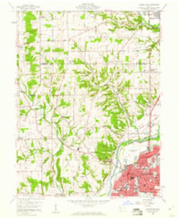
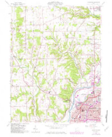
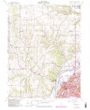
12 topographic sheets cover this place, the earliest surveyed in 1908 and the latest in 1986. It stands in Middletown City. It lies in ZIP code area 45044. The Survey maps it on the Middletown quadrangle. 50,987 people lived here at the 2020 count. It stands 656 feet above sea level.
Then and now
1908 to 1986The same ground, surveyed 78 years apart. Drag the handle to wipe between them. Both sheets are United States Geological Survey originals; neither has been altered.

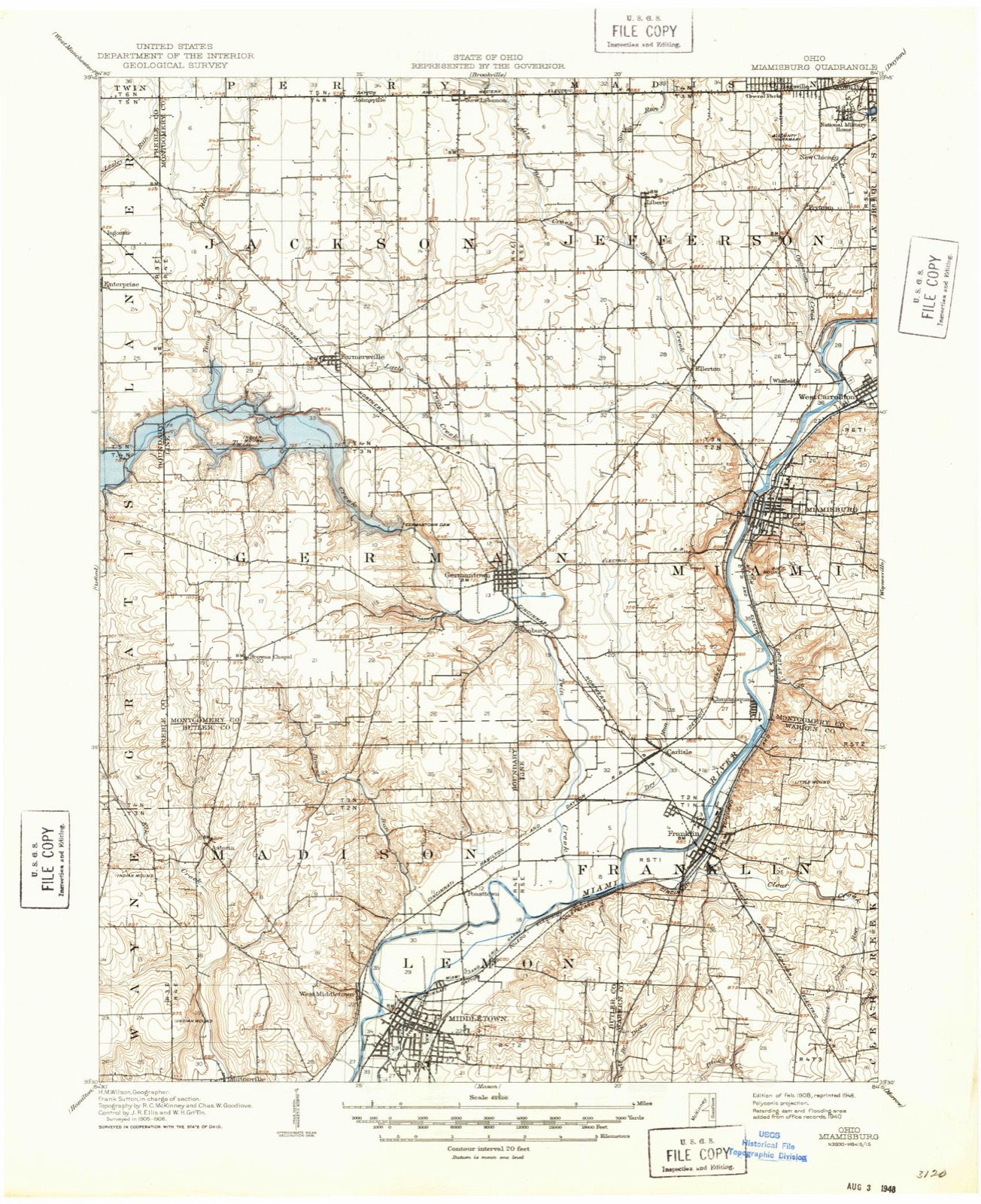
Topographic sheets covering this place
12 sheetsMatched by testing this settlement's coordinate against the published boundary of every sheet in the United States Geological Survey's historical collection. Each opens the scanned sheet at the Survey.
- 1908 USGS Miamisburg quadrangle1:62500
- 1953 USGS Cincinnati quadrangle1:250000
- 1953 USGS Cincinnati quadrangle1:250000
- 1953 USGS Cincinnati quadrangle1:250000
- 1957 USGS Cincinnati quadrangle1:250000
- 1959 USGS Middletown quadrangle1:24000
- 1959 USGS Middletown quadrangle1:24000
- 1959 USGS Middletown quadrangle1:24000
- 1959 USGS Middletown quadrangle1:24000
- 1959 USGS Middletown quadrangle1:24000
- 1986 USGS Dayton quadrangle1:100000
- 1986 USGS Dayton quadrangle1:100000






In the county-history sources
55,072 words on this townshipA History and Biographical Cyclopædia of Butler County, Ohio : with Illustrations and Sketches of Its Representative Men and Pioneers, published 1882 names this settlement in its chapter on Middletown City. These are the passages that mention it, exactly as the scans read.
The original town plat of Middletown, laid out in 1802 by Stephen Vail and James Sutton, reads as follows: "The above town is laid out in the fractional section No. 28, in township and fourth range, between the Miami Rivers. ach lot is six poles one way, agreeably to the plan, except the lots Nos. 43, 46, 47, and 50, which are six poles square. The streets are each four poles wide. The course of those running from the river is south, sixty degrees east. Water and Main Streets cross the other at right angles. North Alley and South Alley are each two poles wide. East Alley and West Alley are each one pole wide. The alleys are parallel with the streets. The streets and alleys to be perpetually kept open for public use. The lots Nos. 10 and 11, which are colored green, are set aside for the public, to be appropriated to county purposes. First, Second, and Third Streets are always to be kept open to the river."
Passage source: A History and Biographical Cyclopædia of Butler County, Ohio : with Illustrations and Sketches of Its Representative Men and Pioneers, published 1882.
In 1816 the first addition was laid out, as follows: 'Tn addition to Middletown, in the county of Butler, the subscribers have laid off fifty-seven lots, of the same dimensions of the whole lots in the old plat, excepting Lot 65, containing one hundred and fifty-six poles and fourfifths. Broad Street is five poles wide. What was called South Alley is made three poles wide and called Fourth Street, and the one south of it three poles wide and called Fifth Street. What is called East Alley, in the old part of the town, between the lots on Broadway Street and Main Street, is continued at one pole wide and called Middle Alley; and the one east of the lots, on the east side of Broadway, is one pole wide and called East Alley. The streets and alleys are parallel with those of the old town plat, as recorded, and are to be opened at any time a majority of the subscribers may think necessary, as witness our hands this the twentyseventh day of March, 1816. Broad Street is to be continued at each end thereof the same course until it intersects the county road to Franklin and the one south to Middletown, leading to Reading and thence to Cincinnati." This is signed by Hugh Vail, Shobal Vail, John Cummings, Daniel Doty, and Abner Enoch.
Passage source: A History and Biographical Cyclopædia of Butler County, Ohio : with Illustrations and Sketches of Its Representative Men and Pioneers, published 1882.
Among the first settlers of Middletown are names yet familiar - Kzekiel Ball, Daniel Doty, Stephen Vail, Garret Van Vost, Moses Potter, and David Enoch. All these except Enoch were from New Jersey. He came about the year 1800, and settled on Section 23 and a fraction of 24, with his father. Abner Enoch obtained these lands by a deed in 1816, from James Monroe, then the President of the United States. Abner Enoch was one of the most remarkable men in this part of the country. He possessed natural abilities, was very energetic, and had an unusual tenacity of purpose. He engaged in manufacturing and farming. He built one of the first mills ever on the Miami River, which consisted of a saw-mill, grist-mill, and a woolen factory, and he also built a distillery. All these mills received water from the same race. Abner Enoch married first a Miss Piper, who died early. He then married her brother's widow. His first wife's father kept a hotel in Middletown, on the corner of Second and Main Streets. In the same house Mr. Enoch had a store at the same time. The hotel and the store were about the first of the kind in the town.
Passage source: A History and Biographical Cyclopædia of Butler County, Ohio : with Illustrations and Sketches of Its Representative Men and Pioneers, published 1882.
Machine-read from a century-old scan, so expect the errors a machine makes: misspelled names, dropped words, stray characters.
Read the whole chapter on Middletown City - it names this place 145 more 145 times.
Specimens collected near this place
12 of 198 shownRegional context, not property-specific evidence. Museums hold 198 specimens collected within 10 miles of Middletown between 1879 and 1973: 114 Fungi, 72 Animalia, 12 Plantae. 12 distinct Species records are shown. Collected by ?, A. C. Billups, A.R. Gaufin, H.H. Ross and others. Each is a physical object with a catalogue number, and each entry opens the museum's record. This is what was collected and kept, not a survey of what lives here - nothing can be concluded from a species being absent.
| Image | Species | Year | Collected by | Where, as recorded |
|---|---|---|---|---|
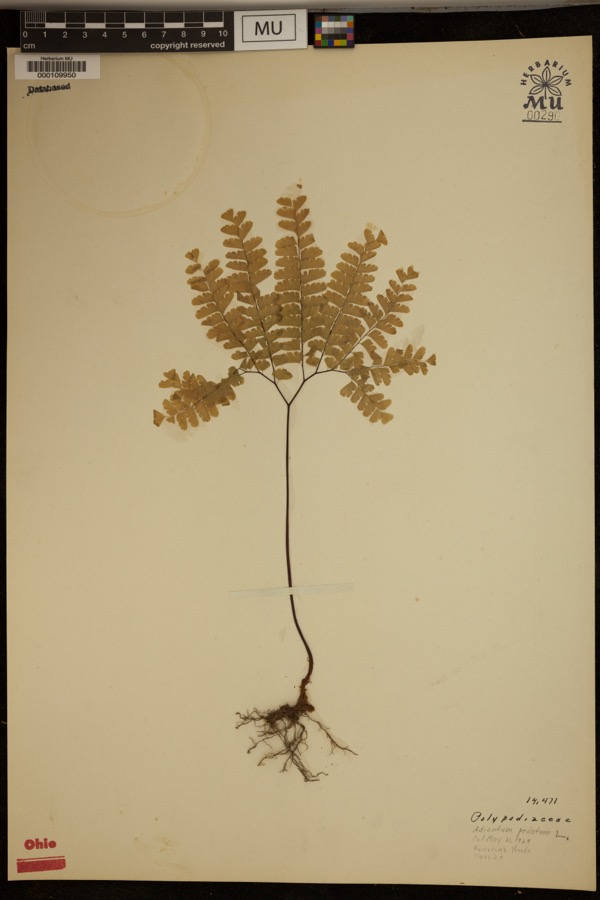 | Adiantum pedatum L. | 1929 | ? | Hueston Woods. |
 | Coluber constrictor Linnaeus, 1758 | 1879 | not recorded | Hughes |
 | Diadophis punctatus arnyi Kennicott, 1859 | 1879 | not recorded | Hughes |
 | Lampropeltis triangulum (Lacépède, 1789) | 1879 | not recorded | Hughes |
 | Storeria dekayi (Holbrook, 1839) | 1879 | not recorded | Hughes |
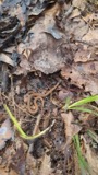 | Storeria occipitomaculata Storer, 1839 | 1879 | not recorded | Hughes |
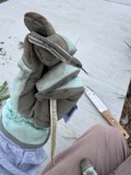 | Tropidoclonion lineatum (Hallowell, 1856) | 1879 | not recorded | Hughes |
| Liochlorophis vernalis (Harlan, 1827) | 1880 | not recorded | Monroe | |
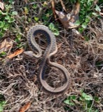 | Thamnophis sirtalis (Linnaeus, 1758) | 1880 | not recorded | Monroe |
 | Physella gyrina (Say, 1821) | 1898 | A. C. Billups | Middletown |
| Mycosphaerellaceae | 1914 | Overholts, L. O. | West Elkton | |
| Polyporus biformis Fr. | 1914 | L.O. Overholts | West Elkton |
All 198 specimens within 10 miles, at the Global Biodiversity Information Facility.
Mines and quarries near this place
8 within 5 milesRegional context, not property-specific evidence. The federal mineral resources record lists 8 workings within 5 miles of Middletown: 3 past producers, 3 producers, 1 unknown, 1 plant. 4 still produce. What was taken out: Sand and Gravel, Construction, Iron. Distance is straight-line from the map coordinates, so a quarry counted here may appear on a neighbouring settlement's page as well.
| Where | Site | Commodity | Status | Recorded |
|---|---|---|---|---|
| Armco Inc/ Middletown, Ohio | Iron | Unknown | ||
| Mecco Inc. | Sand and Gravel, Construction | Producer | ||
| Mecco, Incorporated Plt | Sand and Gravel, Construction | Past Producer | Sedimentary | |
| Middletown Pit | Sand and Gravel, Construction | Past Producer | Sedimentary | |
| Middletown Pit | Sand and Gravel, Construction | Producer | ||
| Moorman Pit | Sand and Gravel, Construction | Past Producer | Sedimentary | |
| Moorman Pit | Sand and Gravel, Construction | Producer | ||
| Moorman Pit & Mill | Sand and Gravel, Construction | Plant |
Storms near this place
37 since 1994Regional context, not property-specific evidence. The National Weather Service names Middletown in 37 storm reports between 1994 and 2024: 22 thunderstorm wind, 12 hail, 2 flash flood, 1 lightning. The reports record 2 injuries. Each account below is quoted exactly as the forecast office filed it, from the NOAA Storm Events Database, and each date opens the federal record of that event.
| When | Event | Place named | Harm | What the report says |
|---|---|---|---|---|
| October 2001 | Thunderstorm Wind | Middletown | 1 hurt, $5,000 | A woman was injured when a tree fell on her. She suffered a concussion and some cuts and bruises. Numerous trees were downed in the Middletown and in New Miami areas. |
| July 2006 | Lightning | Middletown | 1 hurt | An 18 year old girl on a telephone received minor injuries from a lightning strike. |
| July 1994 | Thunderstorm Wind | Middletown | $50,000 | Trees, signs, and fences were downed along with some power lines. |
| May 2006 | Hail | Middletown | $12,000 | no account filed |
| June 2022 | Thunderstorm Wind | West Middletown | $10,000 | A tree fell onto a house on Poplar Street. |
| July 2011 | Thunderstorm Wind | Middletown | $10,000 | A boat was flipped over, shingles were blown off of a house, crops were bent over, and a tree was reported down due to damaging thunderstorm winds. |
| June 2004 | Thunderstorm Wind | Middletown | $5,000 | Several trees were downed. One tree fell on a truck, causing minor damage. |
| June 2002 | Thunderstorm Wind | Middletown | $5,000 | Trees and power lines were kncked down in the city. |
| July 1996 | Thunderstorm Wind | Middletown | $5,000 | no account filed |
| June 2015 | Thunderstorm Wind | West Middletown | $4,000 | Numerous large trees uprooted or snapped in Madison Township. |
| July 2015 | Thunderstorm Wind | Middletown | $4,000 | Numerous large trees were downed across the Middletown area. |
| January 2008 | Thunderstorm Wind | Middletown | $4,000 | Several trees were downed across the eastern part of the county. |
| April 2007 | Hail | Middletown | $4,000 | no account filed |
| May 2017 | Thunderstorm Wind | Middletown | $3,000 | Several trees were downed in the Middletown area. |
| June 2006 | Thunderstorm Wind | Middletown | $3,000 | A few large tree limbs were knocked down. |
| June 2001 | Thunderstorm Wind | Middletown | $3,000 | A few trees knocked down |
| May 1995 | Thunderstorm Wind | Middletown | $3,000 | Several trees downed. |
| June 2022 | Thunderstorm Wind | Middletown | $1,000 | Numerous large branches were downed. |
| June 2015 | Thunderstorm Wind | West Middletown | $1,000 | A large tree, approximately 3 feet in diameter at the base, was knocked down. |
| March 2011 | Thunderstorm Wind | Middletown | $1,000 | Two trees were reported down due to damaging thunderstorm winds. |
| May 2011 | Thunderstorm Wind | Middletown | $1,000 | A tree was down due to damaging thunderstorm winds. |
| July 2011 | Thunderstorm Wind | Middletown | $1,000 | A few trees were damaged about 20 to 30 feet above the ground due to damaging thunderstorm winds. |
| June 2010 | Thunderstorm Wind | Middletown | $1,000 | Large tree limbs and a tree was reported down due to damaging thunderstorm winds. |
| August 2010 | Thunderstorm Wind | Middletown | $1,000 | Trees were reported down due to damaging thunderstorm winds. |
| June 2008 | Hail | Middletown | $1,000 | no account filed |
| March 2006 | Flash Flood | Middletown | - | Several roads were flooded in town. |
| August 2001 | Flash Flood | Middletown | - | Heavy rainfall caused flooded streets. Many vehicles were stranded in the high water including an ambulance that was transporting a patient to a hospital. |
| July 2024 | Hail | Middletown | - | no account filed |
| May 2012 | Hail | Middletown | - | no account filed |
| May 2012 | Hail | Middletown | - | no account filed |
| June 2012 | Thunderstorm Wind | Middletown | - | no account filed |
| March 2011 | Hail | Middletown | - | no account filed |
| May 2011 | Hail | Middletown | - | no account filed |
| April 2010 | Hail | Middletown | - | no account filed |
| August 2010 | Hail | Middletown | - | no account filed |
| April 2003 | Hail | Middletown | - | no account filed |
| June 1996 | Hail | Middletown | - | no account filed |
Nearest settlements
The eight closest, with where each one stands in the county. Distances are straight-line, computed from the Geographic Names Information System coordinates.
| Map | Place | Distance | Sheets |
|---|---|---|---|
| Oakland | 0.6 miles | 12 | |
| Harlan Park | 1.1 miles | 12 | |
| Upper Arlington | 1.2 miles | 12 | |
| West Middletown | 1.2 miles | 12 | |
| South Highlands | 1.4 miles | 12 | |
| Bon Veue | 1.4 miles | 16 | |
| Avalon | 1.5 miles | 12 | |
| Rose Lawn | 1.6 miles | 12 |
Elsewhere
Matched on this settlement's Geographic Names Information System number rather than its name, so it cannot be a different place of the same name in another state.
| Wikipedia article on Middletown | An encyclopaedic summary. Its text is share-alike, so it is linked here rather than copied. |
| Wikidata item Q985515 | The structured record the population and elevation above come from. Public domain (CC0). |
Provenance
This settlement is recorded in the Geographic Names Information System as feature 1061519. The sheet list is computed by point-in-boundary test against the United States Geological Survey's historical topographic inventory. Both are works of the United States government and carry no copyright under 17 U.S.C. 105.
Specimens. Global Biodiversity Information Facility (GBIF), https://www.gbif.org/. Only records licensed CC0 or CC BY are used. Records licensed CC BY-NC are excluded because this site carries advertising. Images are checked individually and any whose licence is non-commercial, no-derivatives or unreadable is refused.
Mines and quarries. USGS Mineral Resources Data System (MRDS) https://mrdata.usgs.gov/mrds/ A work of the United States government, no copyright under 17 U.S.C. 105.
Storms. NOAA National Centers for Environmental Information, Storm Events Database https://www.ncei.noaa.gov/stormevents/ A work of the United States government, no copyright under 17 U.S.C. 105. Narratives are quoted verbatim from the National Weather Service report and are not edited or summarised.