 Block
Block
Quaker City, Ohio
12 topographic sheets cover this place, the earliest surveyed in 1909 and the latest in 1994. It stands in Millwood Township. It lies in ZIP code area 43773. The Survey maps it on the Quaker City quadrangle. 379 people lived here at the 2020 count. It stands 853 feet above sea level.
Population over time
2 figuresQuaker City fell from 502 to 379 between 2010 and 2020. These are the recorded population figures Wikidata holds for this place, reached through the Geographic Names Information System number this page is keyed on rather than by name, so they belong to this place and not to another of the same name. Most are census counts, but not all are: an early figure may be a founding or settlement estimate. The change column is computed, and is left blank where more than 20 years separate a figure from the one before it, because a gap that long is not a change between two counts.
| Year | People | Change |
|---|---|---|
| 2010 | 502 | |
| 2020 | 379 | -123 (-25%) |
Then and now
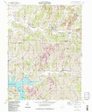
1909 to 1994The same ground, surveyed 85 years apart. Drag the handle to wipe between them. Both sheets are United States Geological Survey originals; neither has been altered.
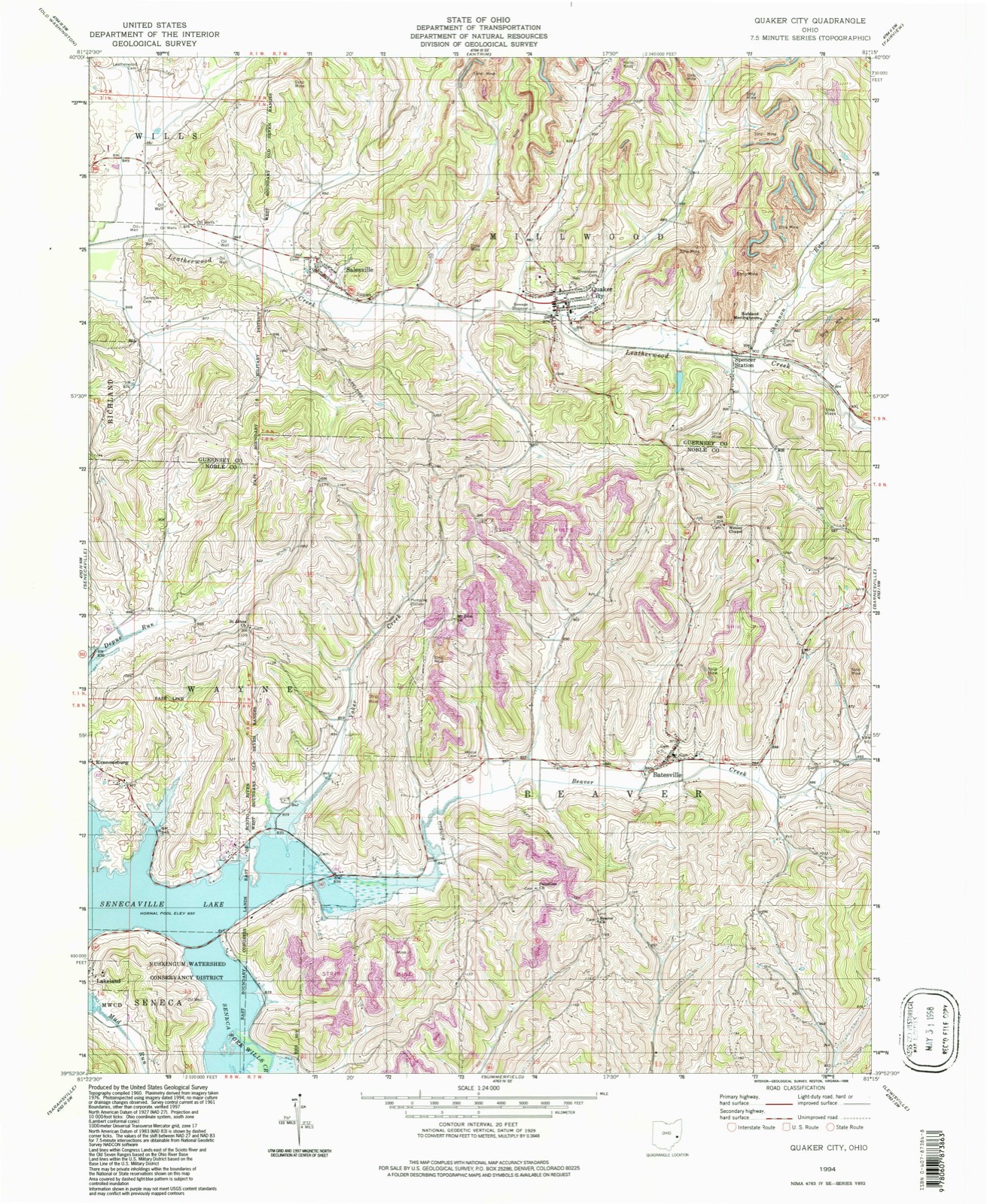
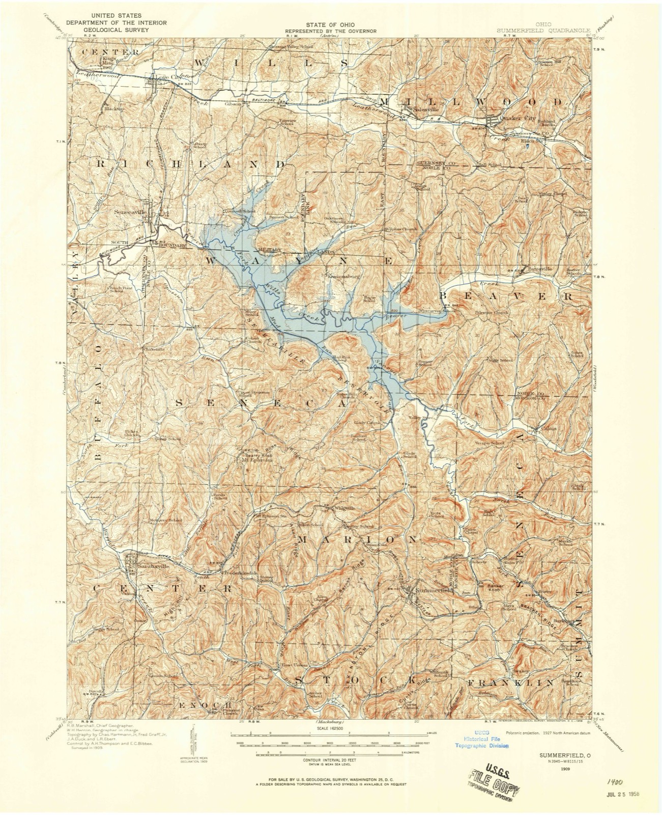
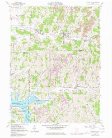
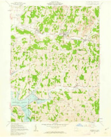
Topographic sheets covering this place
12 sheetsMatched by testing this settlement's coordinate against the published boundary of every sheet in the United States Geological Survey's historical collection. Each opens the scanned sheet at the Survey.
- 1909 USGS Summerfield quadrangle1:62500
- 1911 USGS Summerfield quadrangle1:62500
- 1949 USGS Clarksburg quadrangle1:250000
- 1956 USGS Clarksburg quadrangle1:250000
- 1956 USGS Clarksburg quadrangle1:250000
- 1961 USGS Clarksburg quadrangle1:250000
- 1961 USGS Quaker City quadrangle1:24000
- 1961 USGS Quaker City quadrangle1:24000
- 1980 USGS Senecaville quadrangle1:100000
- 1980 USGS Senecaville Lake quadrangle1:100000
- 1988 USGS Clarksburg quadrangle1:250000
- 1994 USGS Quaker City quadrangle1:24000





In the county-history sources
3,156 words on this townshipPortrait and Biographical Record of Guernsey County, Ohio, Containing Biographical Sketches of Prominent and Representative Citizens of the County, Together with Biographies and Portraits of All the Presidents of the United States, published 1895 names this settlement in its chapter on Millwood Township. These are the passages that mention it, exactly as the scans read.
The first settlement 'in Millwood Township was made by Josepli Williams, who camC' from New Jersey with a large family in 1804. lie settled in what is now the northwest corner of the township, on the farm occupied by his descendants. August 4, 1806, John Hall, of Wayne County, N. C, began work on the northeast quarter of section 13, Millwood Township. He settled on the site of the present residence of Eli Hall's family. Ever after he was intimately connected with the affairs of the community. Soon after .John Webster and his brother-in-law, Henry Sidwell, came here from Lancaster County, Pa., on horseback, with a view to a permanent residence. Mr. Sidwell entered three hundred and twenty acres of Congress land, and afterward settled on the part of it now known as the Flood Farm. John Webster, a carpenter by trade, came from Lancaster County, Pa., and entered eight hundred acres in Millwood Townsliip, or eighty acres for each of his ten children, and moved here in the autumn of 1806. They built a large two-story hewed-log. house, it being the first house of more than one story in this part of the country. It stood about eighty rods east of the present raih-oad station at Quaker City, arid was torn down to make way for the railroad. John Webster in 1807 turned his attention to the building of a grist and saw mill ou Leatherwood Creek, a little above the railroad bridge south of Quaker City. This was finished the same fall, and was the first mill erected in the valley of Leatherwood, and probably in Guernsey County. It was a great blessing to the settlers in the community, for before this crop of corn, in 1807, they were compelled to go cast of BarnesviUe for the corn, and then take it to Morristown, eighteen miles distant, to be ground in a mill run by horse power. Mr "Webster, who died soon after the completion of his mill, about eighteen months after coming to Ohio, left nine children, and was the founder of all the Webster families of this vicinity. He was the first person to die in this community, and was buried on his own farm, there being no buryingground at that time. In the same year, 1806, Michael King, of Lancaster County, Pa., settled a little north of the present residence of Thomas Webster, on one hundred and sixty acres of land he had previously entered.
Passage source: Portrait and Biographical Record of Guernsey County, Ohio, Containing Biographical Sketches of Prominent and Representative Citizens of the County, Together with Biographies and Portraits of All the Presidents of the United States, published 1895.
The first improvement on the present site of Quaker City was made by .Joseph Rogers, who came from Pennsylvania in 1811. February 8, 1847, the first charter was granted for a railroad in eastern Ohio, known as the Central Ohio Railroad, commencing at Columbus and extending eastward through Newark and Zanesvillfe to the Ohio River. April 26, 1854, it was opened for travel to Cambridge, and on the evening of August 26 the first locomotive ascended the Leatherwood Valley to the cut west of Millwood, now Quaker City, and, in addition to a partial load of iron and ties, unloaded several cars of Togs upon the farm of John S. Smith, now owned by Thomas Webster. This was the first freight ever carried by railway in Millwood Township or the eastern half of Guernsey County. The early settlers of Millwood Township, with few exceptions, were members of the Society of Friends, and in 1812 a log meeting-house was built on their present location near Quaker City. Here a school was soon after established, probably in 1813, which was the first school taught between' BarnesviUe and Cambridge. The first teacher was Samuel King. He was succeeded by Joseph Garrettson, and" afterward by William Mott. A term of three months was usually taught each winter.
Passage source: Portrait and Biographical Record of Guernsey County, Ohio, Containing Biographical Sketches of Prominent and Representative Citizens of the County, Together with Biographies and Portraits of All the Presidents of the United States, published 1895.
Joseph Rogers, a brother-in-law of Michael Kin<r moved from Nottingham, Md., and settled on tirj southwest quarter of section 20, township 9, it being the tract on which Quaker City now stands He lived here for a number of years, and his father-in-law, Jacob Gatchel, was the fir.t person buried in the Friends" Burying-ground at Richland Meeting-house.
Passage source: Portrait and Biographical Record of Guernsey County, Ohio, Containing Biographical Sketches of Prominent and Representative Citizens of the County, Together with Biographies and Portraits of All the Presidents of the United States, published 1895.
Machine-read from a century-old scan, so expect the errors a machine makes: misspelled names, dropped words, stray characters.
Read the whole chapter on Millwood Township - it names this place 6 more 6 times.
Fires near this place
27 since 2003Regional context, not property-specific evidence. The federal wildfire occurrence database lists 27 fires within 5 miles of Quaker City between 2003 and 2020, burning about 42 acres in total. None started naturally. 1 was recorded as arson. Distance is straight-line from the map coordinates, so a fire counted here may appear on a neighbouring settlement's page as well.
| Reported cause | Fires |
|---|---|
| Debris and open burning | 18 |
| Missing data/not specified/undetermined | 4 |
| Equipment and vehicle use | 2 |
| Other causes | 1 |
| Arson/incendiarism | 1 |
| Recreation and ceremony | 1 |
The most recent of them, most recent first, with the day each was reported and the service that recorded it.
| Date | Cause | Size | Reported by | Name on the report |
|---|---|---|---|---|
| 5 June 2013 | Equipment and vehicle use | under an acre | Ohio Department of Natural Resources | not named |
| 9 May 2015 | Debris and open burning | under an acre | Ohio Department of Natural Resources | 1212 |
| 31 May 2020 | Arson/incendiarism | under an acre | Ohio Department of Natural Resources | 16078 |
| 27 April 2013 | Debris and open burning | 1.5 acres | Ohio Department of Natural Resources | not named |
| 2 April 2003 | Debris and open burning | under an acre | Ohio Department of Natural Resources | not named |
| 17 April 2009 | Debris and open burning | under an acre | Ohio Department of Natural Resources | not named |
| 17 April 2005 | Debris and open burning | under an acre | Ohio Department of Natural Resources | not named |
| 11 April 2015 | Debris and open burning | under an acre | Ohio Department of Natural Resources | 922 |
Settlements close enough to share some of these fires:
Specimens collected near this place
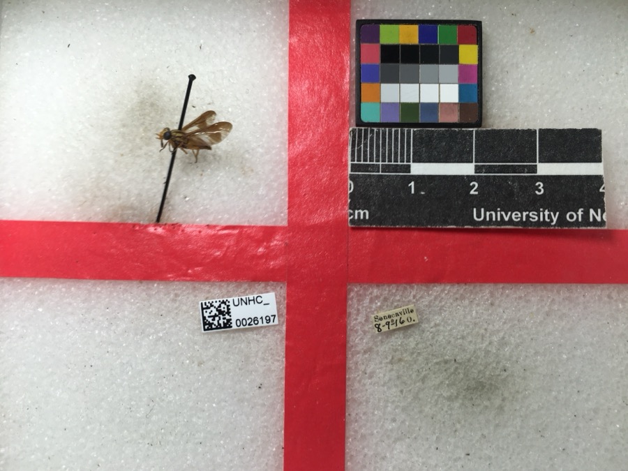
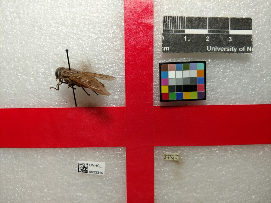
12 of 94 shownRegional context, not property-specific evidence. Museums hold 94 specimens collected within 10 miles of Quaker City between 1887 and 1975: 66 Animalia, 28 Plantae. 12 distinct Species records are shown. Collected by Adams, W. (William), Trautman, M. B. (Milton Bernard) et al., Borror, K. G. (Kathy G.), Buker, W.E. and others. Each is a physical object with a catalogue number, and each entry opens the museum's record. This is what was collected and kept, not a survey of what lives here - nothing can be concluded from a species being absent.
| Image | Species | Year | Collected by | Where, as recorded |
|---|---|---|---|---|
 | Chrysops vittatus Wiedemann, 1821 | 1916 | not recorded | |
 | Tabanus sulcifrons Osten Sacken, 1878 | 1916 | not recorded | |
 | Blephilia hirsuta (Pursh) Benth. | 1887 | Koenig, A. | near Temperanceville |
| Apidae | 1916 | not recorded | ||
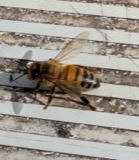 | Apis mellifera Linnaeus, 1758 | 1916 | not recorded | |
 | Cuclotogaster heterographus (Nitzsch, 1866) | 1916 | P. R. Lowry | |
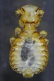 | Goniodes Nitzsch, 1818 | 1916 | P. R. Lowry | |
 | Haematopinus suis (Linnaeus, 1758) | 1916 | P. R. Lowry | |
 | Melissodes bimaculatus (Lepeletier, 1825) | 1916 | not recorded | |
 | Campostoma anomalum (Rafinesque, 1820) | 1925 | CL & LC Hubbs | Trib to Salt Fork of Wills Creek, just above Middlebourne; Muskingum system |
 | Etheostoma nigrum Rafinesque, 1820 | 1925 | CL & LC Hubbs | Trib to Salt Fork of Wills Creek, just above Middlebourne; Muskingum system |
 | Luxilus cornutus (Mitchill, 1817) | 1925 | CL & LC Hubbs | Trib to Salt Fork of Wills Creek, just above Middlebourne; Muskingum system |
All 94 specimens within 10 miles, at the Global Biodiversity Information Facility.
Mines and quarries near this place
1 within 5 milesRegional context, not property-specific evidence. The federal mineral resources record lists 1 working within 5 miles of Quaker City: 1 producer. All of them still produce. What was taken out: Sand and Gravel, Construction. Distance is straight-line from the map coordinates, so a quarry counted here may appear on a neighbouring settlement's page as well.
| Where | Site | Commodity | Status | Recorded |
|---|---|---|---|---|
| Miller Pit | Sand and Gravel, Construction | Producer |
Storms near this place
15 since 2003Regional context, not property-specific evidence. The National Weather Service names Quaker City in 15 storm reports between 2003 and 2026: 5 thunderstorm wind, 5 hail, 3 flash flood, 2 flood. No death or injury is recorded in these reports. Each account below is quoted exactly as the forecast office filed it, from the NOAA Storm Events Database, and each date opens the federal record of that event.
| When | Event | Place named | Harm | What the report says |
|---|---|---|---|---|
| April 2011 | Flood | Quaker City | $10,000 | Emergency management reported a small stream overflow and flooding SR 265. |
| June 2007 | Thunderstorm Wind | Quaker City | $10,000 | Law enforcement reported tress down in quaker city with roof damage to a home. |
| August 2007 | Thunderstorm Wind | Quaker City | $10,000 | The public reported large limbs down in Quaker City. |
| June 2007 | Thunderstorm Wind | Quaker City | $3,000 | Trees and power lines reported down. |
| April 2024 | Flash Flood | Quaker City | $1,000 | A trained spotter reported downtown roads in Quaker City have 2 feet of water. Route 513 |just north of town is nearly impassable. |
| April 2024 | Flood | Quaker City | - | State Route 265 closed due to flooding along Leatherwood Creek. |
| June 2022 | Hail | Quaker City | - | Trained spotter reported quarter size hail. |
| June 2022 | Thunderstorm Wind | Quaker City | - | OHDOT reported tree down on State Route 513 in Quaker City. |
| August 2003 | Thunderstorm Wind | Quaker City | - | A few trees down. |
| August 2003 | Flash Flood | Quaker City | - | Several streams overflowed at 8 PM EDT. By 10 PM EDT, Routes 265 and 285 were flooded. |
| November 2003 | Flash Flood | Quaker City | - | County road flooded. |
| March 2026 | Hail | Quaker City | - | no account filed |
| March 2024 | Hail | Quaker City | - | no account filed |
| June 2013 | Hail | Quaker City | - | no account filed |
| July 2003 | Hail | Quaker City | - | no account filed |
Nearest settlements
The eight closest, with where each one stands in the county. Distances are straight-line, computed from the Geographic Names Information System coordinates.
| Map | Place | Distance | Sheets |
|---|---|---|---|
| Spencer Station | 1.5 miles | 12 | |
| Salesville | 2.0 miles | 12 | |
| New Gottingen | 5.3 miles | 13 | |
| Seneca Lake Estates | 5.7 miles | 13 | |
| Middlebourne | 5.9 miles | 16 | |
| Echo Point | 6.0 miles | 13 | |
| Gibson | 6.1 miles | 13 | |
| East Shore Cottage Area | 6.2 miles | 13 |
Elsewhere
Matched on this settlement's Geographic Names Information System number rather than its name, so it cannot be a different place of the same name in another state.
| Wikipedia article on Quaker City | An encyclopaedic summary. Its text is share-alike, so it is linked here rather than copied. |
| Wikidata item Q2503872 | The structured record the population and elevation above come from. Public domain (CC0). |
Provenance
This settlement is recorded in the Geographic Names Information System as feature 1061578. The sheet list is computed by point-in-boundary test against the United States Geological Survey's historical topographic inventory. Both are works of the United States government and carry no copyright under 17 U.S.C. 105.
Wildfire. Short, Karen C. 2022. Spatial wildfire occurrence data for the United States, 1992-2020 [FPA_FOD_20221014]. 6th Edition. Fort Collins, CO: Forest Service Research Data Archive. https://doi.org/10.2737/RDS-2013-0009.6 Collected with United States Government funding and usable without additional permissions or fees.
Specimens. Global Biodiversity Information Facility (GBIF), https://www.gbif.org/. Only records licensed CC0 or CC BY are used. Records licensed CC BY-NC are excluded because this site carries advertising. Images are checked individually and any whose licence is non-commercial, no-derivatives or unreadable is refused.
Mines and quarries. USGS Mineral Resources Data System (MRDS) https://mrdata.usgs.gov/mrds/ A work of the United States government, no copyright under 17 U.S.C. 105.
Storms. NOAA National Centers for Environmental Information, Storm Events Database https://www.ncei.noaa.gov/stormevents/ A work of the United States government, no copyright under 17 U.S.C. 105. Narratives are quoted verbatim from the National Weather Service report and are not edited or summarised.