 Block
Block
Quansoo, Massachusetts
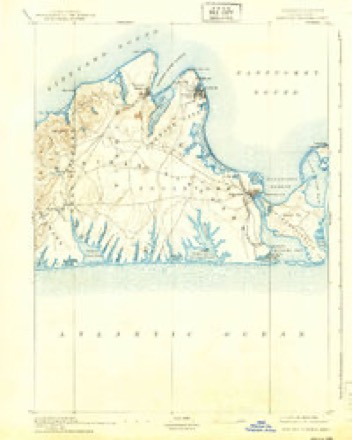
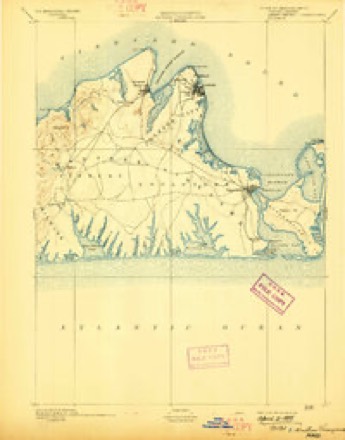
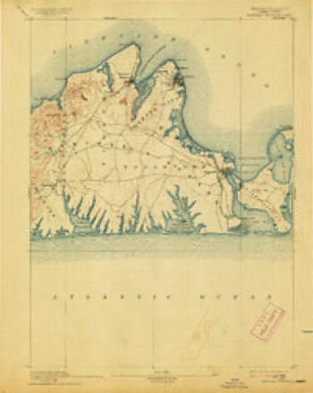
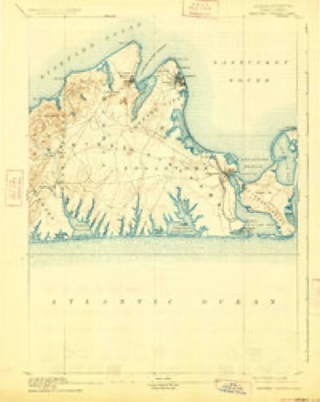
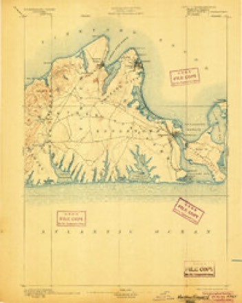
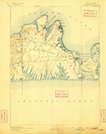
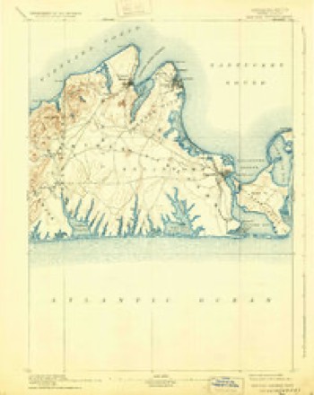
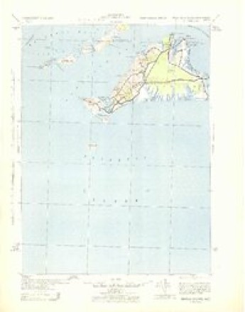
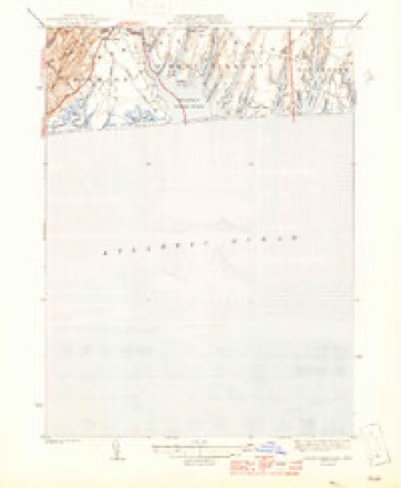
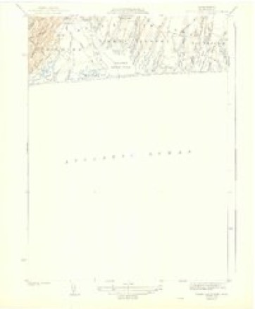
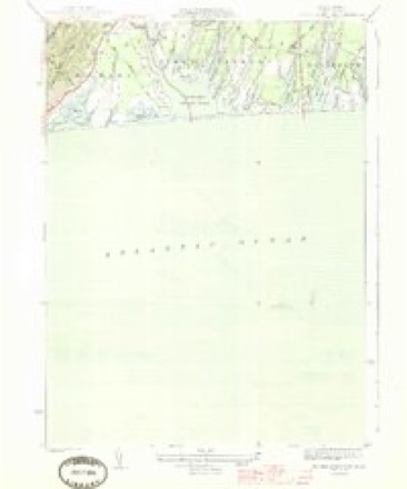
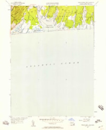
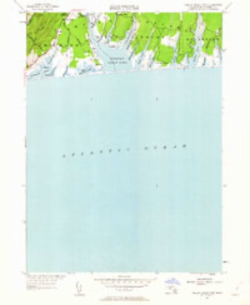
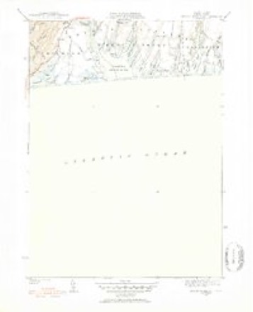
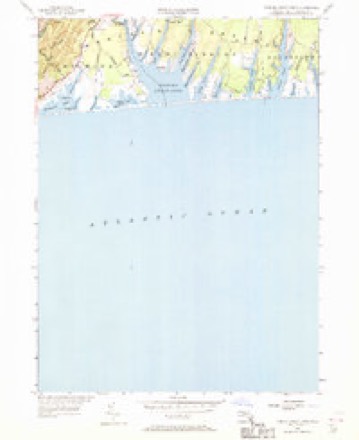
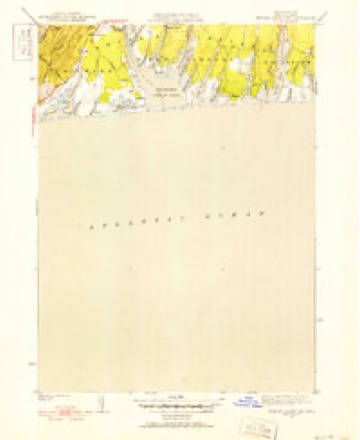
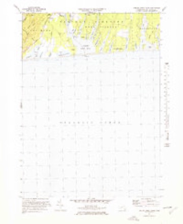
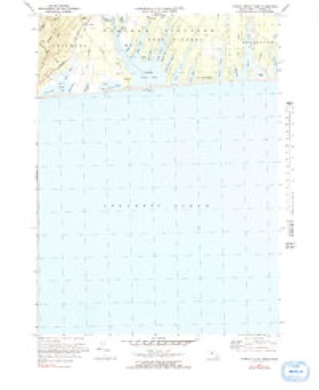
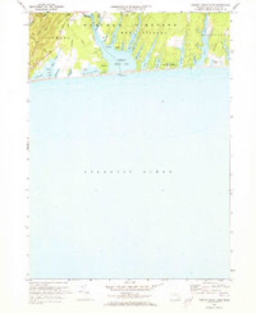
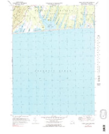
34 topographic sheets cover this place, the earliest surveyed in 1887 and the latest in 1994. It stands in Chilmark town. It lies in ZIP code area 02535. The Survey maps it on the Tisbury Great Pond quadrangle.
Then and now
1887 to 1994The same ground, surveyed 107 years apart. Drag the handle to wipe between them. Both sheets are United States Geological Survey originals; neither has been altered.
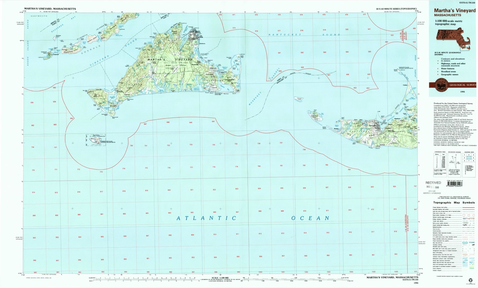
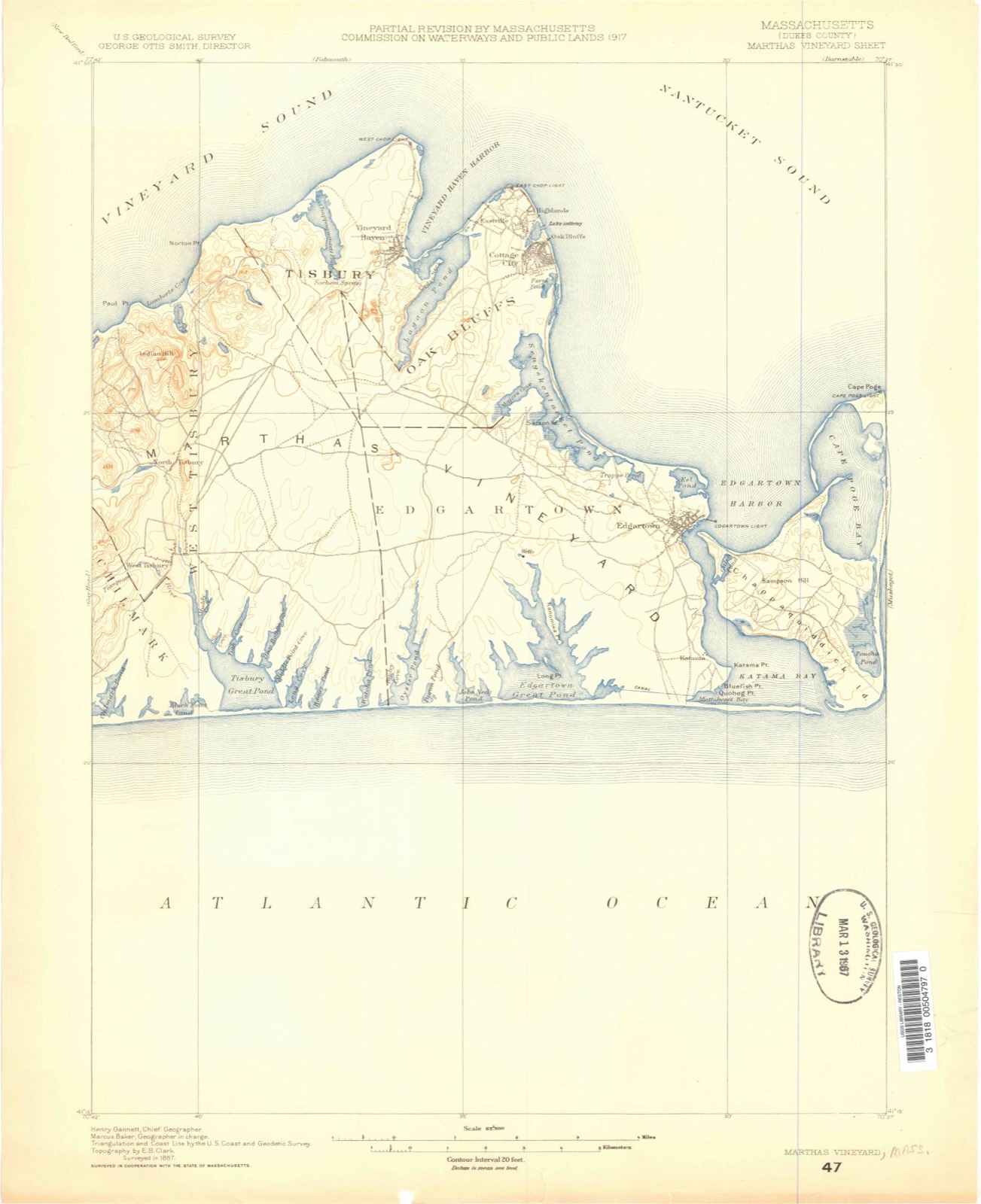
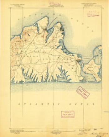
Topographic sheets covering this place
34 sheetsMatched by testing this settlement's coordinate against the published boundary of every sheet in the United States Geological Survey's historical collection. Each opens the scanned sheet at the Survey.
- 1887 USGS Marthas Vineyard quadrangle1:62500
- 1889 USGS Marthas Vineyard quadrangle1:62500
- 1894 USGS Marthas Vineyard quadrangle1:62500
- 1894 USGS Marthas Vineyard quadrangle1:62500
- 1894 USGS Marthas Vineyard quadrangle1:62500
- 1894 USGS Marthas Vineyard quadrangle1:62500
- 1894 USGS Marthas Vineyard quadrangle1:62500
- 1894 USGS Marthas Vineyard quadrangle1:62500
- 1894 USGS Marthas Vineyard quadrangle1:62500
- 1942 USGS Marthas Vineyard quadrangle1:125000
- 1944 USGS Tisbury Great Pond quadrangle1:31680
- 1944 USGS Tisbury Great Pond quadrangle1:31680
- 1944 USGS Tisbury Great Pond quadrangle1:31680
- 1947 USGS Providence quadrangle1:250000
- 1947 USGS Providence quadrangle1:250000
- 1947 USGS Providence quadrangle1:250000
- 1947 USGS Providence quadrangle1:250000
- 1947 USGS Providence quadrangle1:250000
- 1948 USGS Providence quadrangle1:250000
- 1951 USGS Tisbury Great Pond quadrangle1:24000
- 1951 USGS Tisbury Great Pond quadrangle1:24000
- 1951 USGS Tisbury Great Pond quadrangle1:31680
- 1951 USGS Tisbury Great Pond quadrangle1:24000
- 1951 USGS Tisbury Great Pond quadrangle1:31680
- 1957 USGS Providence quadrangle1:250000
- 1958 USGS Providence quadrangle1:250000
- 1963 USGS Providence quadrangle1:250000
- 1972 USGS Tisbury Great Pond quadrangle1:25000
- 1972 USGS Tisbury Great Pond quadrangle1:25000
- 1972 USGS Tisbury Great Pond quadrangle1:24000
- 1972 USGS Tisbury Great Pond quadrangle1:25000
- 1977 USGS Tisbury Great Pond quadrangle1:25000
- 1986 USGS Martha's Vineyard quadrangle1:100000
- 1994 USGS Martha's Vineyard quadrangle1:100000









In the county-history sources
24,949 words on this townshipThe History of Martha's Vineyard, Dukes County, Massachusetts, published 1911 names this settlement in its chapter on Chilmark Town. These are the passages that mention it, exactly as the scans read.
Payment of these quit rents was to be in perpetuity, and constituted an "acknowledgment" of the continued sovereignty of the Lord of the Manor and his heirs or assigns. In the management of the Manor granted to the Mayhews, they alienated portions of the soil, but retained the "acknowledgment" of certain annual, or more frequent, payment of trifles to signify their manorial privileges. During the lifetime of the elder Mayhew none of the manor was alienated, except two pieces in the Quansoo region, to his grandsons John and Thomas Mayhew, and it is not known that he demanded any quit-rents from them. In a sale of a part of the Elizabeth Islands, however, he instituted the custom of requiring quitrents, and the first case was that of John Haynes, who agreed to pay "2 good sheep at the Manor House on November 15 th yearly and every year."^ It is not known where the "Manor House" was, if it existed in anything more than name. Possibly it was the house occupied by John Mayhew at Quansoo, or Quanames. After his death, Matthew Mayhew, as surviving patentee, kept to the custom of requiring the annual payments of such ''acknowledgments" in true English style. Usually in the mother country the quit-rent was "a good fat capon," to be delivered at Christmas or Whitsuntide, or oftener, but Mayhew varied his requirements to all sorts of small articles. One was obliged to bring annually to him "a good chees,"^; another "one nutmegg" as a tribute,^ and he required "his beloved brother John," who was permitted to occupy certain land, "one mink skin" to be paid yearly "at my mannor house in the mannor of Tisbury," on the 15th of November each year.^ Benjamin Skiffe was made to bring "six peckes of good wheat," annually.^ As late as 1732, Sarah, widow of Thomas Mayhew (3), in a deed to her two daughters conveying land in Chilmark, referred to the "Quitt-rents which shall hereafter become due unto the Lord
Passage source: The History of Martha's Vineyard, Dukes County, Massachusetts, published 1911.
Thus, at the close of the 17th century, about 25 years after John Mayhew first built himself a house at Quansoo, the town population compi'iscd the following heads of families : Experience Mayhew, John Mayhew, Pain Mayhew, Thomas Mayhew, James Allen, Ebenezer Allen, Nathaniel Skiffe, Benjamin Skiffe, Nathan Skiffe, Samuel Tilton, William Tilton, John Tilton, Nathan Bassett, William Hunt, and Rodolphus Thacher, fifteen households in all.
Passage source: The History of Martha's Vineyard, Dukes County, Massachusetts, published 1911.
Machine-read from a century-old scan, so expect the errors a machine makes: misspelled names, dropped words, stray characters.
Read the whole chapter on Chilmark Town - it names this place 2 more 2 times.
Fires near this place
4 since 2015Regional context, not property-specific evidence. The federal wildfire occurrence database lists 4 fires within 5 miles of Quansoo between 2015 and 2018, burning about 2 acres in total. None started naturally. None was recorded as arson. Distance is straight-line from the map coordinates, so a fire counted here may appear on a neighbouring settlement's page as well.
| Reported cause | Fires |
|---|---|
| Equipment and vehicle use | 3 |
| Debris and open burning | 1 |
The most recent of them, most recent first, with the day each was reported and the service that recorded it.
| Date | Cause | Size | Reported by | Name on the report |
|---|---|---|---|---|
| 24 May 2015 | Equipment and vehicle use | under an acre | Massachusetts Bureau of Forest Fire Control | 5011032 |
| 6 April 2015 | Equipment and vehicle use | 1.0 acres | Massachusetts Bureau of Forest Fire Control | 5006779 |
| 6 April 2015 | Equipment and vehicle use | under an acre | Massachusetts Bureau of Forest Fire Control | 5006749 |
| 21 April 2018 | Debris and open burning | under an acre | Massachusetts Bureau of Forest Fire Control | not named |
Settlements close enough to share some of these fires:
Specimens collected near this place
12 of 5,280 shownRegional context, not property-specific evidence. Museums hold 5,280 specimens collected within 10 miles of Quansoo between 1828 and 1975: 3,216 Animalia, 1,558 Plantae, 270 Chromista, 182 Unrecorded, 41 Fungi, 13 Bacteria. 12 distinct Species records are shown. Collected by A AND P STARRETT, A. B. Hervey, A. B. Seymour and others. Each is a physical object with a catalogue number, and each entry opens the museum's record. This is what was collected and kept, not a survey of what lives here - nothing can be concluded from a species being absent.
| Image | Species | Year | Collected by | Where, as recorded |
|---|---|---|---|---|
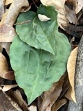 | Tipularia discolor (Pursh) Nutt. | 1828 | Oakes | Martha's Vineyard |
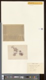 | Actinococcus subcutaneus (Lyngbye ex Hornemann) Rosenvinge | 1871 | W. G. Farlow | Gay Head |
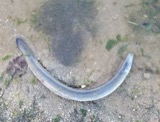 | Anguilla rostrata (Lesueur, 1817) | 1871 | U.S. Fish Commission | Vineyard Sound |
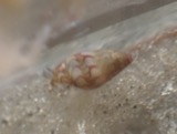 | Astyris lunata (Say, 1826) | 1871 | United States Fish Commission | Great Harbor, Gay Head [=Aquinnah] |
| Callithamnion plumula (J.Ellis) Lyngbye | 1871 | W. G. Farlow | Martha's Vineyard, Gay Head | |
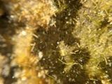 | Chaetomorpha linum (O.F.Müll.) Kütz. | 1871 | W. G. Farlow | Martha's Vineyard, Gay Head |
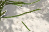 | Chaetomorpha melagonium (F.Weber & D.Mohr) Kützing | 1871 | W. G. Farlow | Martha's Vineyard, Gay Head |
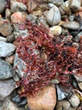 | Coccotylus Kützing, 1843 | 1871 | W. G. Farlow | Gay Head |
| Cottidae | 1871 | U.S. Fish Commission | ||
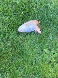 | Alosa pseudoharengus (Wilson, 1811) | 1899 | not recorded | Massachusetts, Katama Bay near Edgartown |
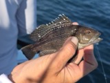 | Centropristis striata (Linnaeus, 1758) | 1899 | B. Bean | Menemsha Bight |
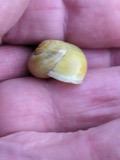 | Cepaea hortensis (O.F.Müller, 1774) | 1899 | Reid, Rev G D Prime, Henry | Martha's Vineyard, Oak Bluffs |
All 5,280 specimens within 10 miles, at the Global Biodiversity Information Facility.
Nearest settlements
The eight closest, with where each one stands in the county. Distances are straight-line, computed from the Geographic Names Information System coordinates.
| Map | Place | Distance | Sheets |
|---|---|---|---|
| Tississa | 0.8 miles | 34 | |
| Nabs Corner | 1.9 miles | 34 | |
| West Tisbury | 2.2 miles | 33 | |
| North Tisbury | 3.9 miles | 33 | |
| Chilmark | 4.4 miles | 33 | |
| Christian Town | 5.4 miles | 33 | |
| Menemsha | 5.4 miles | 33 | |
| Nashaquitsa | 6.1 miles | 33 |
Elsewhere
Matched on this settlement's Geographic Names Information System number rather than its name, so it cannot be a different place of the same name in another state.
| Wikidata item Q122563502 | The structured record the population and elevation above come from. Public domain (CC0). |
Provenance
This settlement is recorded in the Geographic Names Information System as feature 616225. The sheet list is computed by point-in-boundary test against the United States Geological Survey's historical topographic inventory. Both are works of the United States government and carry no copyright under 17 U.S.C. 105.
Wildfire. Short, Karen C. 2022. Spatial wildfire occurrence data for the United States, 1992-2020 [FPA_FOD_20221014]. 6th Edition. Fort Collins, CO: Forest Service Research Data Archive. https://doi.org/10.2737/RDS-2013-0009.6 Collected with United States Government funding and usable without additional permissions or fees.
Specimens. Global Biodiversity Information Facility (GBIF), https://www.gbif.org/. Only records licensed CC0 or CC BY are used. Records licensed CC BY-NC are excluded because this site carries advertising. Images are checked individually and any whose licence is non-commercial, no-derivatives or unreadable is refused.