 Block
Block
Ragersville, Ohio
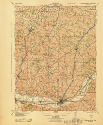
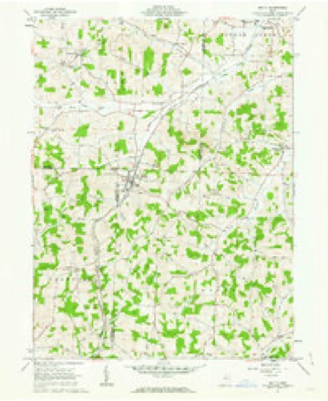
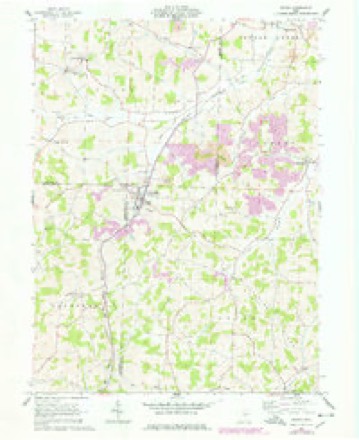
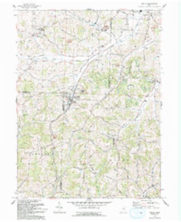
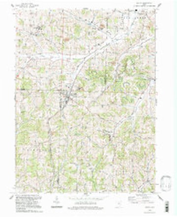
14 topographic sheets cover this place, the earliest surveyed in 1911 and the latest in 1994. It stands in Auburn Township. It lies in ZIP code area 44681. The Survey maps it on the Baltic quadrangle.
Then and now
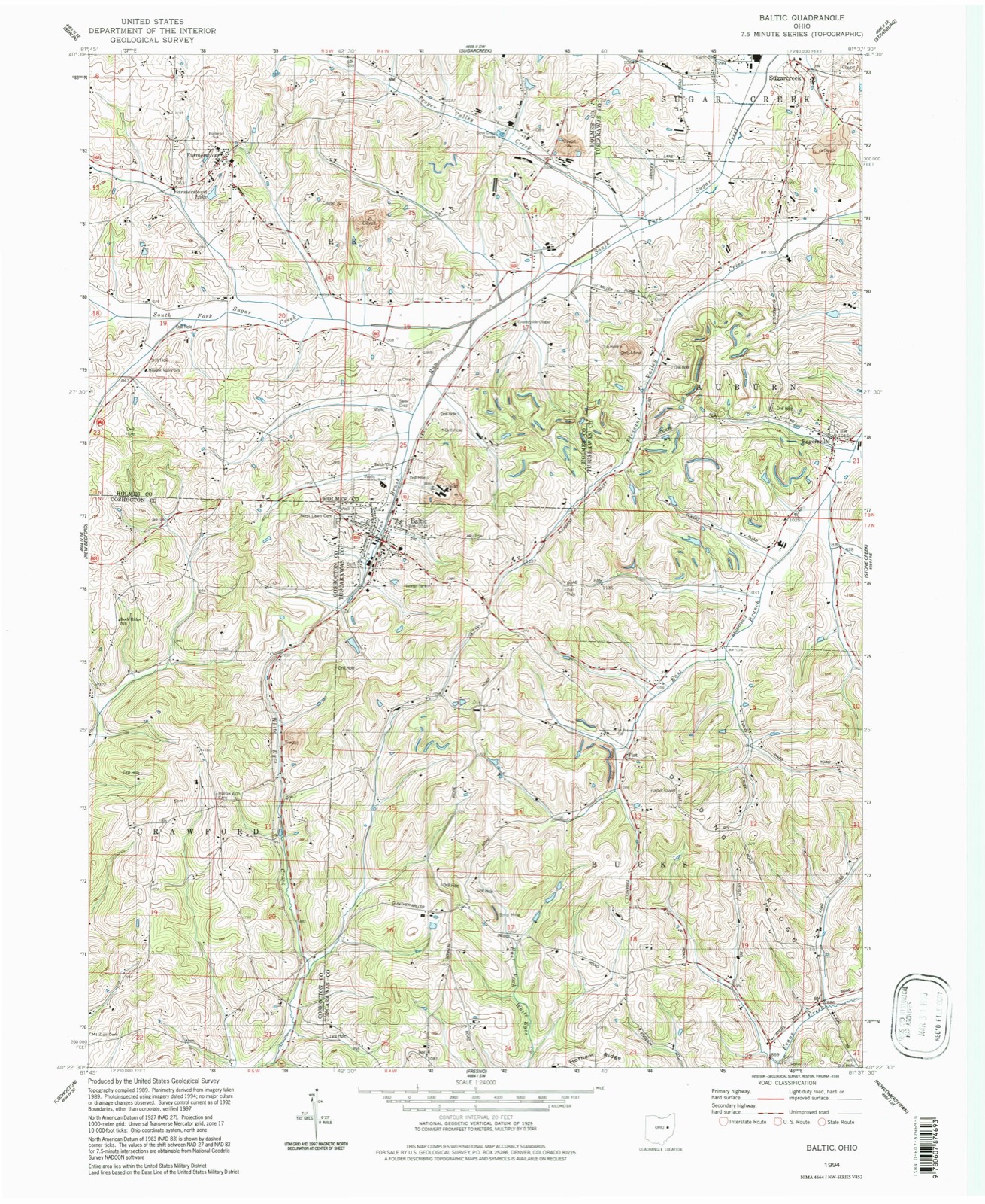
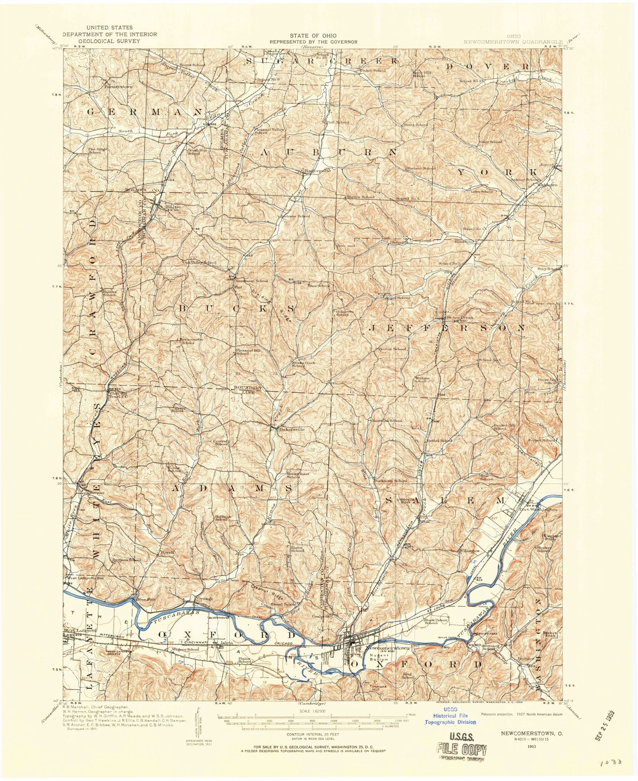
1911 to 1994The same ground, surveyed 83 years apart. Drag the handle to wipe between them. Both sheets are United States Geological Survey originals; neither has been altered.
Topographic sheets covering this place
14 sheetsMatched by testing this settlement's coordinate against the published boundary of every sheet in the United States Geological Survey's historical collection. Each opens the scanned sheet at the Survey.
- 1911 USGS Newcomerstown quadrangle1:62500
- 1913 USGS Newcomerstown quadrangle1:62500
- 1943 USGS Newcomerstown quadrangle1:62500
- 1951 USGS Canton quadrangle1:250000
- 1953 USGS Canton quadrangle1:250000
- 1957 USGS Canton quadrangle1:250000
- 1957 USGS Canton quadrangle1:250000
- 1957 USGS Canton quadrangle1:250000
- 1961 USGS Baltic quadrangle1:24000
- 1961 USGS Baltic quadrangle1:24000
- 1962 USGS Canton quadrangle1:250000
- 1962 USGS Canton quadrangle1:250000
- 1993 USGS Baltic quadrangle1:24000
- 1994 USGS Baltic quadrangle1:24000







In the county-history sources
3,478 words on this townshipThe History of Tuscarawas County, Ohio, published 1884 names this settlement in its chapter on Auburn Township. These are the passages that mention it, exactly as the scans read.
The mineral resources of Auburn are unexcelled in the county. In the ridge about two and a half miles northeast from Ragersville, is found a tenfoot vein of blackband iron ore* from which immense quantities have been shipped to Massillon and Dover. The ore is conveyed by a train road a distance of two and a half miles to Blackband Station* on the C. & M. Railroad. Large quantities of mountain ore exist, and four- foot veins of coal are abundant* but are not worked except for home consumption.
Passage source: The History of Tuscarawas County, Ohio, published 1884.
The exact date of Auburn's first settlement is not known. John Mizer was the first pioneer, and he came before 1809, probably as early as 1806. Originally from Pennsylvania, he had settled near Salem, Harrison County, and thence came to Tuscarawas, and entered and removed to the northwest quarter of Section 12, in the northwest portion of the township. He was a famous hunter, and spent most of his time in the forests. Dwelling here for a while, he removed with his family to the northwest quarter of Section 1, a mile south of Ragersville. Many were his exploits with wild animals in the solitudes of the wilderness, where he often remained over night. Once when sleeping amid the branches of a fallen tree, he was awakened by the sniffing of a large animal near him. Lying motionless till the animal had receded some distance and was standing on an adjoining log, he leveled his rifle and shot. A loud cry followed and a tumble. In the morning, a large bear, weighing 700 pounds, was found, shot through the heart. Two other bears were killed by Mr. Mizer that day. On another occasion, he espied two cubs and shot ona He seized the other, with intent to carry it home alive, but its piteous cry attracted the mother, which rushed to the rescue with such hot haste that the hunter had little time to reload his weapon. Dropping the squalling cub, he poured some powder in the barrel of his gun and two naked bullets on top. Turning the gun just as the bear was about to reach him, he shot and killed her. Mr. Mizer remained in Auburn Township till game was getting scarce, and his favorite occupation became no longer possible. He then removed to the hills of Coshocton County, where game was yet abundant, and where he died in 1860, aged seventy -seven years. His sons, Jacob and George, now reside in Bucks Township.
Passage source: The History of Tuscarawas County, Ohio, published 1884.
Jacob Peterman came to the township about 1814. He entered the south - west quarter of Section 21, but a few years later disposed of it and settled in Holmes County, near Rowville. A Mr. Dickey was an occupant of the township in 1810, but he owned no land. John Garver came in 1818 from Fayette County, Penn. Like most of the other pioneers, he began life in the wilds of the West with little or no means, and by economy and industry acquired extended possessions. He died in 1874. George Garver, his brother, came about 1820. Christopher Neff emigrated in 1820 from Somerset County, Penn., to a farm near Ragersville, but survived his removal to the West only three years. His son, Jonas Neff, still resides on the old place. Mr. Neff brought with him from Pennsylvania a dog which became a fast friend of a pack of wolves, and often roved the forests with them at nights, remaining from home sometimes for several weeks.
Passage source: The History of Tuscarawas County, Ohio, published 1884.
Machine-read from a century-old scan, so expect the errors a machine makes: misspelled names, dropped words, stray characters.
Read the whole chapter on Auburn Township - it names this place 9 more 9 times.
Fires near this place
8 since 2005Regional context, not property-specific evidence. The federal wildfire occurrence database lists 8 fires within 5 miles of Ragersville between 2005 and 2017, burning about 10 acres in total. None started naturally. None was recorded as arson. Distance is straight-line from the map coordinates, so a fire counted here may appear on a neighbouring settlement's page as well.
| Reported cause | Fires |
|---|---|
| Debris and open burning | 6 |
| Smoking | 1 |
| Recreation and ceremony | 1 |
The most recent of them, most recent first, with the day each was reported and the service that recorded it.
| Date | Cause | Size | Reported by | Name on the report |
|---|---|---|---|---|
| 24 April 2015 | Debris and open burning | 5.0 acres | Ohio Department of Natural Resources | 1087 |
| 21 April 2014 | Debris and open burning | 1.0 acres | Ohio Department of Natural Resources | not named |
| 19 April 2014 | Debris and open burning | under an acre | Ohio Department of Natural Resources | not named |
| 12 April 2015 | Debris and open burning | under an acre | Ohio Department of Natural Resources | 806 |
| 10 April 2005 | Recreation and ceremony | under an acre | Ohio Department of Natural Resources | not named |
| 28 February 2014 | Debris and open burning | under an acre | Ohio Department of Natural Resources | not named |
| 28 November 2017 | Smoking | 1.5 acres | Ohio Department of Natural Resources | 9347 |
| 25 November 2015 | Debris and open burning | 1.0 acres | Ohio Department of Natural Resources | 2609 |
Settlements close enough to share some of these fires:
Specimens collected near this place
12 of 278 shownRegional context, not property-specific evidence. Museums hold 278 specimens collected within 10 miles of Ragersville between 1851 and 1973: 167 Animalia, 97 Plantae, 13 Fungi, 1 Unrecorded. 12 distinct Species records are shown. Collected by A. Cibula, A. Cobula, A. Woolman and others. Each is a physical object with a catalogue number, and each entry opens the museum's record. This is what was collected and kept, not a survey of what lives here - nothing can be concluded from a species being absent.
| Image | Species | Year | Collected by | Where, as recorded |
|---|---|---|---|---|
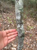 | Amelanchier arborea (F.Michx.) Fernald | 1851 | Wolle, J. | Canoe Down [Canal Dover] |
 | Anemone canadensis L. | 1851 | Wolle, J. | Canoe Down [Canal Dover] |
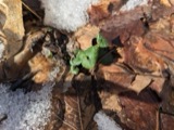 | Cardamine douglassii Britton | 1851 | Wolle, J. | Canae Docus [??] [Canal Dover] |
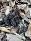 | Conopholis americana (L.) Wallr. | 1851 | Wolle, J. | Canoe Down [Canal Dover?] |
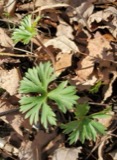 | Delphinium tricorne Michx. | 1851 | Wolle, J. | Canoe Down [Canal Dover] |
 | Erythronium americanum Ker Gawl. | 1851 | Wolle, J. | Canal Dover |
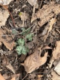 | Hydrophyllum appendiculatum Michx. | 1851 | Wolle, J. | Canoe Down [Canal Dover] |
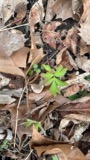 | Hydrophyllum virginianum L. | 1851 | Wolle, J. | Canoe Down [Canal Dover] |
 | Silene virginica L. | 1851 | Wolle, J. | Canal Downs [Canal Dover] |
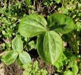 | Trillium sessile L. | 1851 | Wolle, J. | Canal Dover |
| Triosteum perfoliatum L. | 1851 | Wolle, J. | Canoe Doon [Canal Dover?] | |
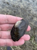 | Lasmigona costata (Rafinesque, 1820) | 1889 | Sterki, Victor | Dover, Sugar Creek(race on) |
All 278 specimens within 10 miles, at the Global Biodiversity Information Facility.
Mines and quarries near this place
10 of 17 shownRegional context, not property-specific evidence. The federal mineral resources record lists 17 workings within 5 miles of Ragersville: 9 past producers, 7 producers, 1 occurrence. 7 still produce. What was taken out: Clay, Clay, Coal, Fire Clay (Refractory), Iron. Distance is straight-line from the map coordinates, so a quarry counted here may appear on a neighbouring settlement's page as well.
| Where | Site | Commodity | Status | Recorded |
|---|---|---|---|---|
| George Meuhlhooffer Prospect | Iron | Occurrence | ||
| Stone Creek Pit | Stone, Crushed/Broken, Clay | Producer | ||
| Plant Number 4-1 | Fire Clay (Refractory) | Past Producer | ||
| Plant Number 4-2 | Fire Clay (Refractory) | Past Producer | ||
| Belden Pit | Clay, Coal | Producer | ||
| Belden Pit | Clay, Coal | Producer | ||
| Belden Pit | Clay, Coal | Producer | ||
| Sugarcreek Operations/Belden Brick | Clay, Coal | Producer | ||
| Bonum Lime Clay Pit | Clay | Past Producer | ||
| Claycraft Number 3 Pits | Clay | Past Producer |
Storms near this place
7 since 2002Regional context, not property-specific evidence. The National Weather Service names Ragersville in 7 storm reports between 2002 and 2025: 6 thunderstorm wind, 1 flash flood. No death or injury is recorded in these reports. Each account below is quoted exactly as the forecast office filed it, from the NOAA Storm Events Database, and each date opens the federal record of that event.
| When | Event | Place named | Harm | What the report says |
|---|---|---|---|---|
| April 2025 | Thunderstorm Wind | Ragersville | $20,000 | A roof was blown off a home with straight line winds. |
| June 2011 | Thunderstorm Wind | Ragersville | $15,000 | The Department of Highways reported power lines down in Auburn Township on Buehler Road. |
| June 2017 | Thunderstorm Wind | Ragersville | $10,000 | Several reports of damage in the town of Ragersville from social media. This includes: a barn roof blown off at the intersection of Ragersville Road and Eckert Road. There were also several other reports of trees down and a small outbuilding had it's roof blow off on Crooked Run Road. |
| July 2011 | Thunderstorm Wind | Ragersville | $5,000 | Local law enforcement reported large tree limbs blown down on road. |
| June 2002 | Thunderstorm Wind | Ragersville | $5,000 | Thunderstorm winds downed several trees in the Ragersville area, some of which fell across area roadways. |
| July 2023 | Flash Flood | Ragersville | - | Crooked Run Road was closed due to flooding. |
| June 2022 | Thunderstorm Wind | Ragersville | - | Storm survey team found damage through within the woods using Sentinel-2. |
Nearest settlements
The eight closest, with where each one stands in the county. Distances are straight-line, computed from the Geographic Names Information System coordinates.
| Map | Place | Distance | Sheets |
|---|---|---|---|
| Fiat | 3.3 miles | 14 | |
| Sugarcreek | 3.6 miles | 15 | |
| Baltic | 4.0 miles | 14 | |
| Baltic Park Place | 4.0 miles | 14 | |
| Shanesville | 4.3 miles | 15 | |
| Blackband | 4.8 miles | 15 | |
| Winklepleck Grove | 4.9 miles | 16 | |
| Stone Creek | 5.1 miles | 15 |
Provenance
This settlement is recorded in the Geographic Names Information System as feature 1061582. The sheet list is computed by point-in-boundary test against the United States Geological Survey's historical topographic inventory. Both are works of the United States government and carry no copyright under 17 U.S.C. 105.
Wildfire. Short, Karen C. 2022. Spatial wildfire occurrence data for the United States, 1992-2020 [FPA_FOD_20221014]. 6th Edition. Fort Collins, CO: Forest Service Research Data Archive. https://doi.org/10.2737/RDS-2013-0009.6 Collected with United States Government funding and usable without additional permissions or fees.
Specimens. Global Biodiversity Information Facility (GBIF), https://www.gbif.org/. Only records licensed CC0 or CC BY are used. Records licensed CC BY-NC are excluded because this site carries advertising. Images are checked individually and any whose licence is non-commercial, no-derivatives or unreadable is refused.
Mines and quarries. USGS Mineral Resources Data System (MRDS) https://mrdata.usgs.gov/mrds/ A work of the United States government, no copyright under 17 U.S.C. 105.
Storms. NOAA National Centers for Environmental Information, Storm Events Database https://www.ncei.noaa.gov/stormevents/ A work of the United States government, no copyright under 17 U.S.C. 105. Narratives are quoted verbatim from the National Weather Service report and are not edited or summarised.