 Block
Block
Rich Hill, Ohio
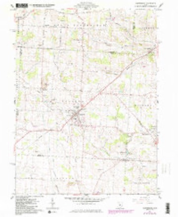
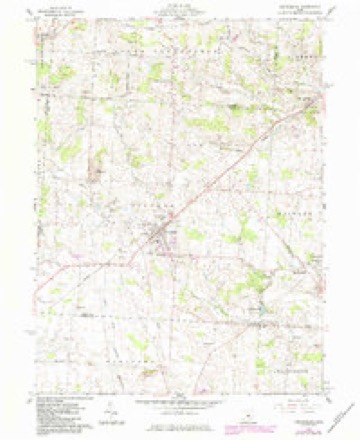
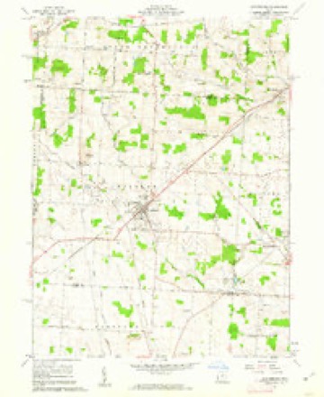
10 topographic sheets cover this place, the earliest surveyed in 1915 and the latest in 1966. It stands in Hilliar Township. It lies in ZIP code area 43011. It stands on Rich Hill. The Survey maps it on the Centerburg quadrangle.
Then and now
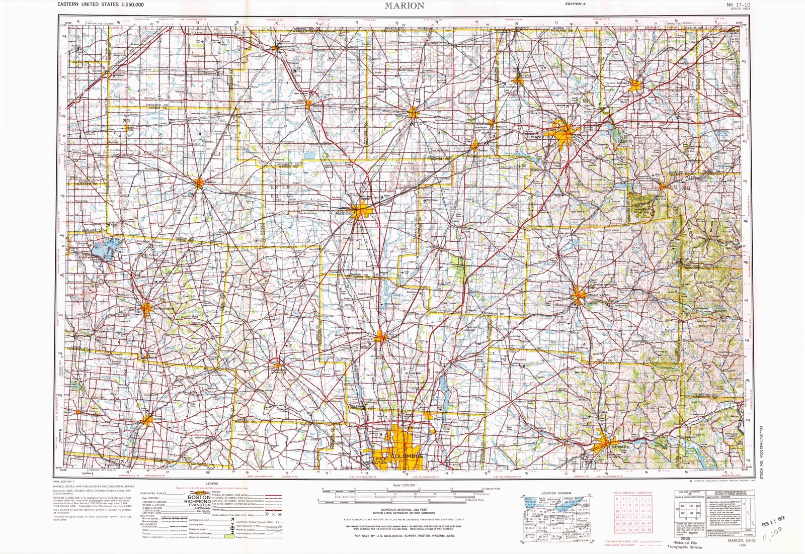
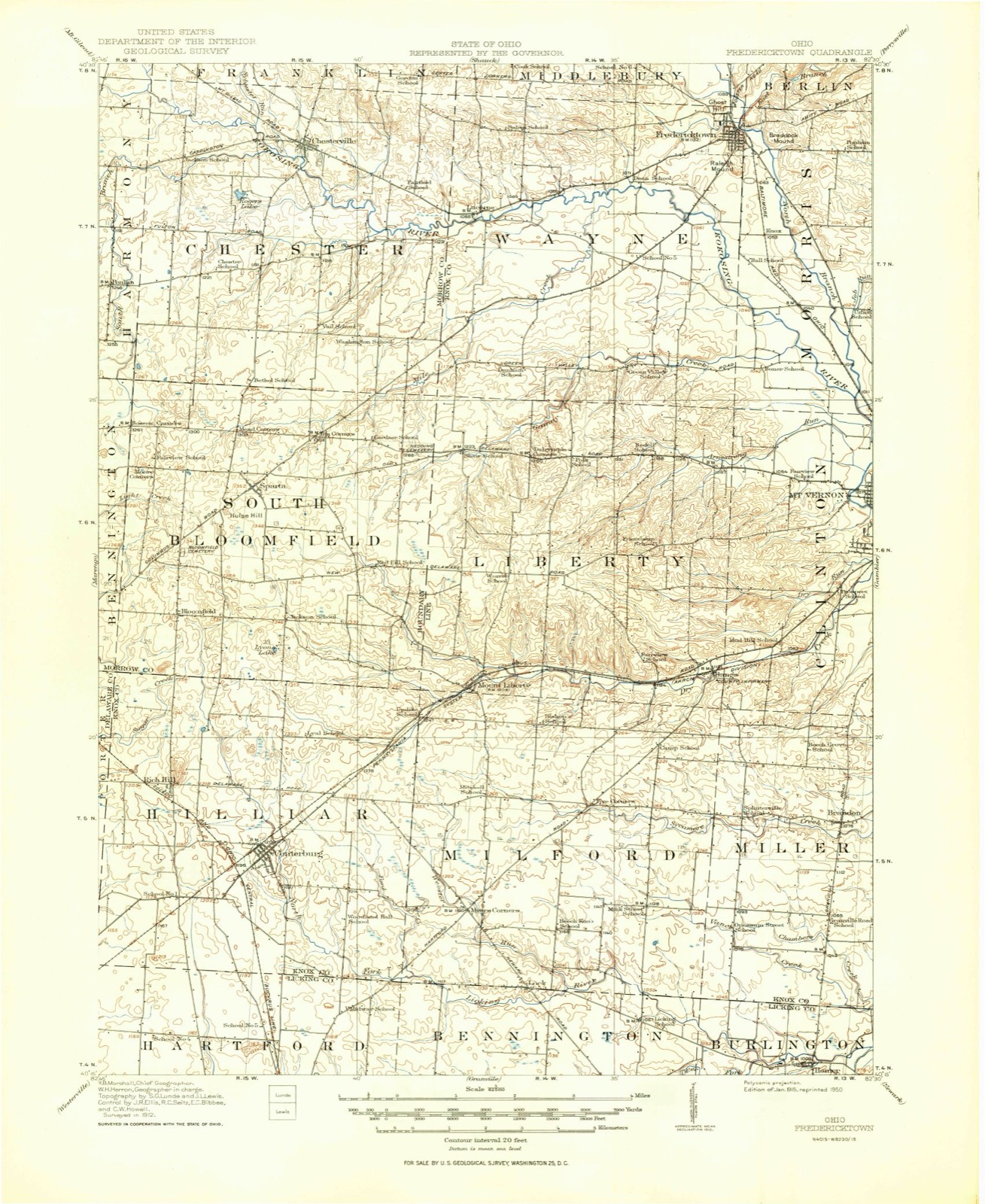
1915 to 1966The same ground, surveyed 51 years apart. Drag the handle to wipe between them. Both sheets are United States Geological Survey originals; neither has been altered.
Topographic sheets covering this place
10 sheetsMatched by testing this settlement's coordinate against the published boundary of every sheet in the United States Geological Survey's historical collection. Each opens the scanned sheet at the Survey.
- 1915 USGS Fredericktown quadrangle1:62500
- 1943 USGS Fredericktown quadrangle1:62500
- 1950 USGS Marion quadrangle1:250000
- 1961 USGS Centerburg quadrangle1:24000
- 1961 USGS Centerburg quadrangle1:24000
- 1961 USGS Centerburg quadrangle1:24000
- 1962 USGS Marion quadrangle1:250000
- 1966 USGS Marion quadrangle1:250000
- 1966 USGS Marion quadrangle1:250000
- 1966 USGS Marion quadrangle1:250000





In the county-history sources
14,774 words on this townshipHistory of Knox County, Ohio, Its Past and Present, Containing a Condensed, Comprehensive History of Ohio, Including an Outline History of the Northwest; a Complete History of Knox County ... a Record of Its Soldiers in the Late War; Portraits of Its Early Settlers and Prominent Men ... Biographies and Histories of Pioneer Families, Etc, published 1881 names this settlement in its chapter on Hilliar Township. These are the passages that mention it, exactly as the scans read.
An election for township officers was ordered to be held on the fifteenth of September, 18 18, at the house of Thomas Merrill; at which James Pell, James Houck and Jacob Houck officiated as judges; and John Borden and Joseph Jennings as clerks. There were eighteen voters, namely: James Houck, James Pell, Aaron Hill, John Davis, Benjamin F. Hilliar, John Pell, James Severe, Joseph Jennings, Samuel Sickle, James Bell and John Donelson.
The following officers were elected: James Houck, Joseph Jennings and James Pell, trustees; John Severe and James Bell, overseers; James Severe and William Houck, fenceviewers; Jacob Houck, lister; James Pell, appraiser; William Russell, constable; James Houck, treasurer; James Severe, supervisor.
Centreburgh was laid out in October, 1830, by Edson Harkness, surveyor, and the plat recorded December 22, 1834, by Stephen Sutton and Jacob Houck, owners of the land on which the town now stands. They gave the new town the name of Centreburgh because it was in, the centre of the township, and supposed to be in the centre of the State. The principal part of the plat was located on the northwest side of the State road. The first house was built on lot thirty-five of the town plat by Harvey j
Machine-read from a century-old scan, so expect the errors a machine makes: misspelled names, dropped words, stray characters.
Read the whole chapter on Hilliar Township - it names this place 5 more 5 times.
Specimens collected near this place
12 of 349 shownRegional context, not property-specific evidence. Museums hold 349 specimens collected within 10 miles of Rich Hill between 1835 and 1974: 323 Animalia, 23 Fungi, 3 Plantae. 12 distinct Species records are shown. Collected by A. P. Morgan, A. P. Morgan; Ellis, Adler, K. K. and others. Each is a physical object with a catalogue number, and each entry opens the museum's record. This is what was collected and kept, not a survey of what lives here - nothing can be concluded from a species being absent.
| Image | Species | Year | Collected by | Where, as recorded |
|---|---|---|---|---|
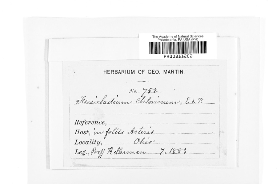 | Fusicladium Bonord. | 1883 | W. A. Kellermann | |
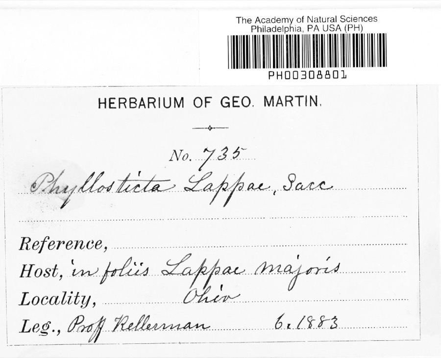 | Phyllosticta lappae Sacc. | 1883 | W. A. Kellermann | |
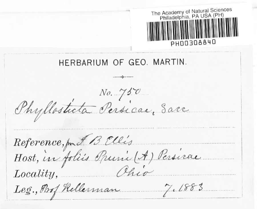 | Phyllosticta persicae Sacc. | 1883 | W. A. Kellermann | |
 | Polystichum acrostichoides (Michx.) Schott | 1835 | Joseph C. Frank | Ohio, s.loc. |
 | Semotilus atromaculatus (Mitchill, 1818) | 1863 | not recorded | USA, NNO-, OHIO*, GHOTA RIVER , |
 | Ascochyta Lib., 1830 | 1883 | Kellerman | |
 | Nummularia microplaca (Berk. & M.A.Curtis) Cooke | 1883 | W.A. Kellerman | |
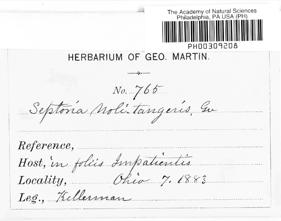 | Septoria E.M.Fries, 1819 | 1883 | W. A. Kellermann | |
 | Septoria ribis (Lib.) Desm. | 1883 | W. A. Kellermann | |
 | Uromyces (Link) Unger, 1833 | 1883 | Kellerman | |
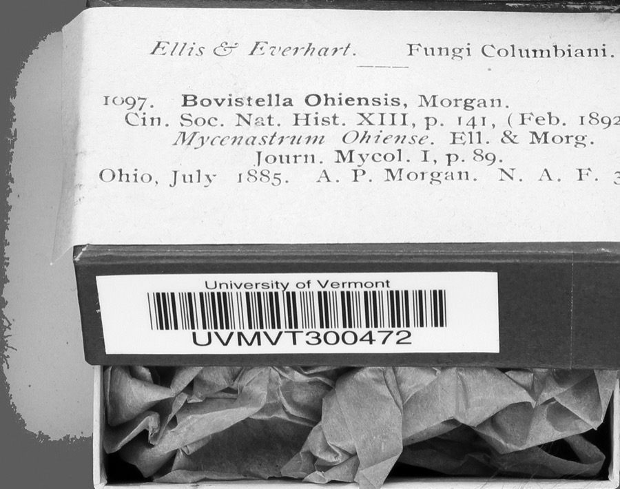 | Bovistella Morgan | 1885 | A. P. Morgan | |
 | Agelaius phoeniceus phoeniceus (Linnaeus, 1766) | 1888 | No Person (Birds) |
All 349 specimens within 10 miles, at the Global Biodiversity Information Facility.
Nearest settlements
The eight closest, with where each one stands in the county. Distances are straight-line, computed from the Geographic Names Information System coordinates.
| Map | Place | Distance | Sheets |
|---|---|---|---|
| Centerburg | 2.0 miles | 10 | |
| Hedington Corners | 2.1 miles | 10 | |
| Mount Liberty | 5.4 miles | 10 | |
| Myers Corners | 5.5 miles | 10 | |
| Milfordton | 6.7 miles | 10 | |
| Five Corners | 7.2 miles | 10 | |
| Dalrymple Corners | 8.4 miles | 11 | |
| Bangs | 9.5 miles | 10 |
Provenance
This settlement is recorded in the Geographic Names Information System as feature 1084272. The sheet list is computed by point-in-boundary test against the United States Geological Survey's historical topographic inventory. Both are works of the United States government and carry no copyright under 17 U.S.C. 105.
Specimens. Global Biodiversity Information Facility (GBIF), https://www.gbif.org/. Only records licensed CC0 or CC BY are used. Records licensed CC BY-NC are excluded because this site carries advertising. Images are checked individually and any whose licence is non-commercial, no-derivatives or unreadable is refused.