 Block
Block
Mount Liberty, Ohio
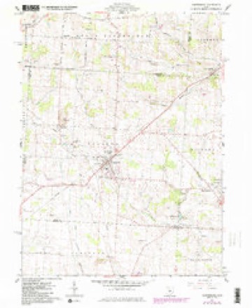
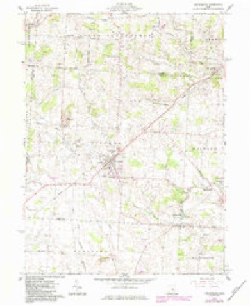
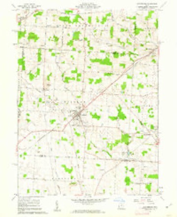
10 topographic sheets cover this place, the earliest surveyed in 1915 and the latest in 1966. It stands in Liberty Township. It lies in ZIP code area 43011. It stands on Conway Creek. The Survey maps it on the Centerburg quadrangle. It stands 1,214 feet above sea level.
Then and now
1915 to 1966The same ground, surveyed 51 years apart. Drag the handle to wipe between them. Both sheets are United States Geological Survey originals; neither has been altered.
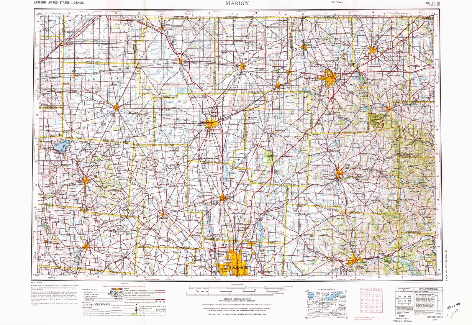
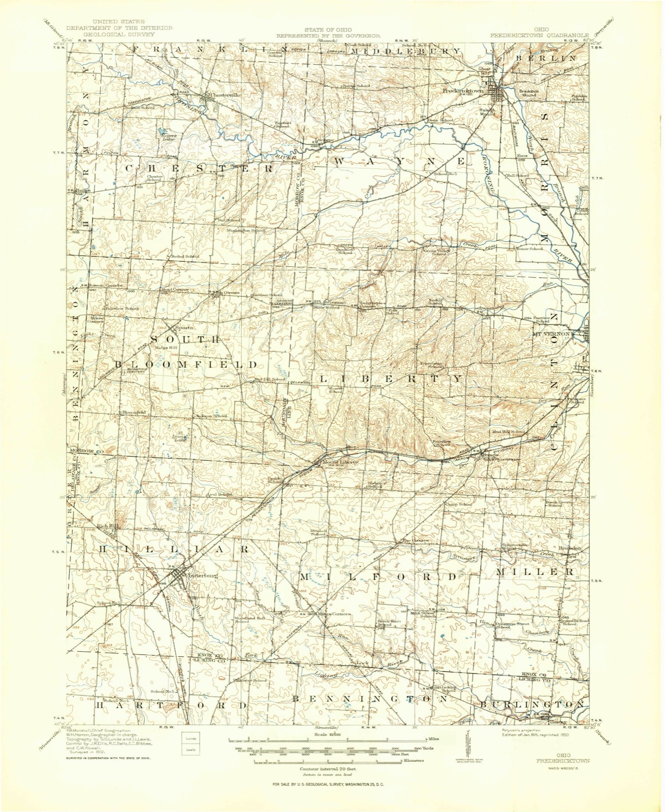
Topographic sheets covering this place
10 sheetsMatched by testing this settlement's coordinate against the published boundary of every sheet in the United States Geological Survey's historical collection. Each opens the scanned sheet at the Survey.
- 1915 USGS Fredericktown quadrangle1:62500
- 1943 USGS Fredericktown quadrangle1:62500
- 1950 USGS Marion quadrangle1:250000
- 1961 USGS Centerburg quadrangle1:24000
- 1961 USGS Centerburg quadrangle1:24000
- 1961 USGS Centerburg quadrangle1:24000
- 1962 USGS Marion quadrangle1:250000
- 1966 USGS Marion quadrangle1:250000
- 1966 USGS Marion quadrangle1:250000
- 1966 USGS Marion quadrangle1:250000





What happened here
An account from the chapter on Liberty township, The inset identifies its exact source book and publication year.
Sein Alter War 71
Of these children one is renowned as having built Fort Wintermoot, near Wilkesbarre, Pennsylvania. One was said to have been killed in the massacre of the Wyoming, one killed in battle, one uniting his fortunes with the British removed to Canada, where his descendants now reside, near Fort Erie, and who are reputed to be quite wealthy.
In the county-history sources
9,782 words on this townshipHistory of Knox County, Ohio, Its Past and Present, Containing a Condensed, Comprehensive History of Ohio, Including an Outline History of the Northwest; a Complete History of Knox County ... a Record of Its Soldiers in the Late War; Portraits of Its Early Settlers and Prominent Men ... Biographies and Histories of Pioneer Families, Etc, published 1881 names this settlement in its chapter on Liberty Township. These are the passages that mention it, exactly as the scans read.
There are very few relics of the Mound Builders to be found in Liberty township. About the only ones deserving mention are located on the property of J. D. Higgins, one mile east of Mount Liberty. On the hill north of Mr. Higgins' residence is a mound about thirty feet in diameter, and was originally eight or ten feet high, but is at present very much reduced in height by being plowed over. It was opened by Mr. Higgins, who, however, found nothing but the traditional ashes and charcoal.
Miss Sadie Jackson, A. C. ; Miss Emma Hawkins, J. S. ; Benson Bishop, O. S. ; Mrs. Mary J. Jackson, P. W. This was not the first organization of this character in Mount Liberty. From 1840 to i86o,a lodge of the Sons of Temperance and a lodge of Good Templars were in existence, and both did a good work. Whiskey was in common use in those days and the evil grew so rapidly that the people were generally alarmed, and these lodges sprang up all over the country. The lodges in Mount Liberty were both in a flourishing condition many years, and many a middle-aged man of today attributes his freedom from the habit of drinking to the solemn pledges and oaths taken in those organizations, Arnold Bishop whose name appears above, was long a member of one or both of these organizations. Dr. McGugin, a farmer and a man of a good deal of ability and influence in Mount Liberty, was saved from a drunkard's grave by the old organization of the Sons of Temperance. The good they accomplished cannot be computed by figures. They very nearly or quite accomplished the objects for which they were organized, and passed away about the beginning of the war.
Machine-read from a century-old scan, so expect the errors a machine makes: misspelled names, dropped words, stray characters.
Read the whole chapter on Liberty Township - it names this place 6 more 6 times.
Fires near this place
1 since 2012Regional context, not property-specific evidence. The federal wildfire occurrence database lists 1 fire within 5 miles of Mount Liberty between 2012 and 2012, burning about 6 acres in total. None started naturally. None was recorded as arson. Distance is straight-line from the map coordinates, so a fire counted here may appear on a neighbouring settlement's page as well.
| Reported cause | Fires |
|---|---|
| Missing data/not specified/undetermined | 1 |
The most recent of them, most recent first, with the day each was reported and the service that recorded it.
| Date | Cause | Size | Reported by | Name on the report |
|---|---|---|---|---|
| 1 December 2012 | Missing data/not specified/undetermined | 5.5 acres | Ohio Department of Natural Resources | not named |
Settlements close enough to share some of these fires:
Specimens collected near this place
12 of 785 shownRegional context, not property-specific evidence. Museums hold 785 specimens collected within 10 miles of Mount Liberty between 1835 and 1974: 739 Animalia, 41 Fungi, 4 Plantae, 1 Protozoa. 12 distinct Species records are shown. Collected by A. P. Morgan, A. P. Morgan; Ellis, Adler, K. K. and others. Each is a physical object with a catalogue number, and each entry opens the museum's record. This is what was collected and kept, not a survey of what lives here - nothing can be concluded from a species being absent.
| Image | Species | Year | Collected by | Where, as recorded |
|---|---|---|---|---|
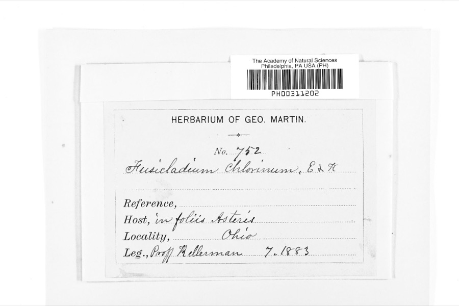 | Fusicladium Bonord. | 1883 | W. A. Kellermann | |
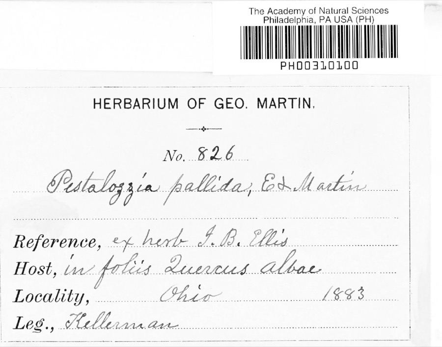 | Pestalotia De Not., 1841 | 1883 | W. A. Kellermann | No locality on label |
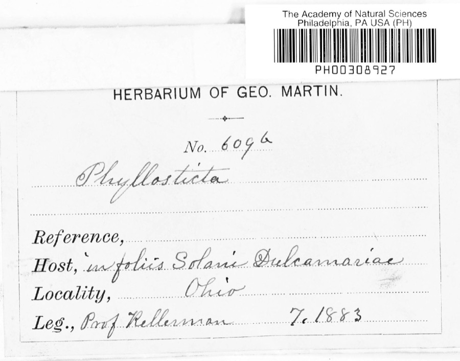 | Phyllosticta Pers., 1818 | 1883 | Kellerman | |
 | Polystichum acrostichoides (Michx.) Schott | 1835 | Joseph C. Frank | Ohio, s.loc. |
 | Semotilus atromaculatus (Mitchill, 1818) | 1863 | not recorded | USA, NNO-, OHIO*, GHOTA RIVER , |
 | Sturnella magna magna (Linnaeus, 1758) | 1877 | not recorded | unspecified |
 | Accipiter striatus velox (A.Wilson, 1812) | 1879 | Willard L. Maris | |
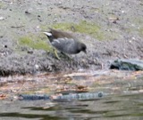 | Gallinula chloropus (Linnaeus, 1758) | 1879 | Porter, J.B. | |
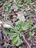 | Ascochyta Lib., 1830 | 1883 | Kellerman | |
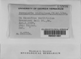 | Nummularia microplaca (Berk. & M.A.Curtis) Cooke | 1883 | W.A. Kellerman | |
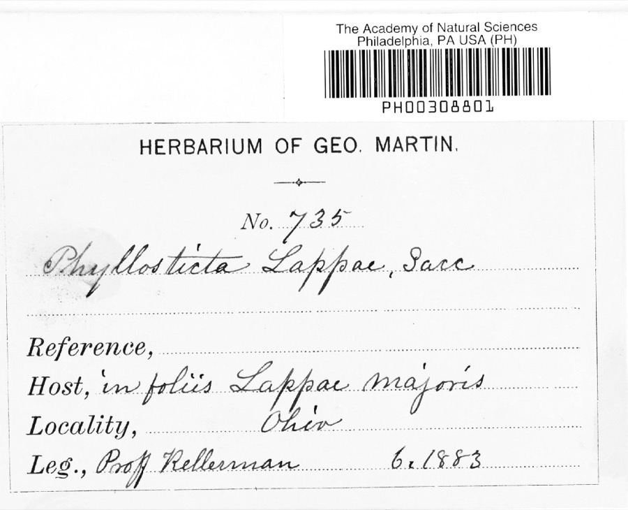 | Phyllosticta lappae Sacc. | 1883 | W. A. Kellermann | |
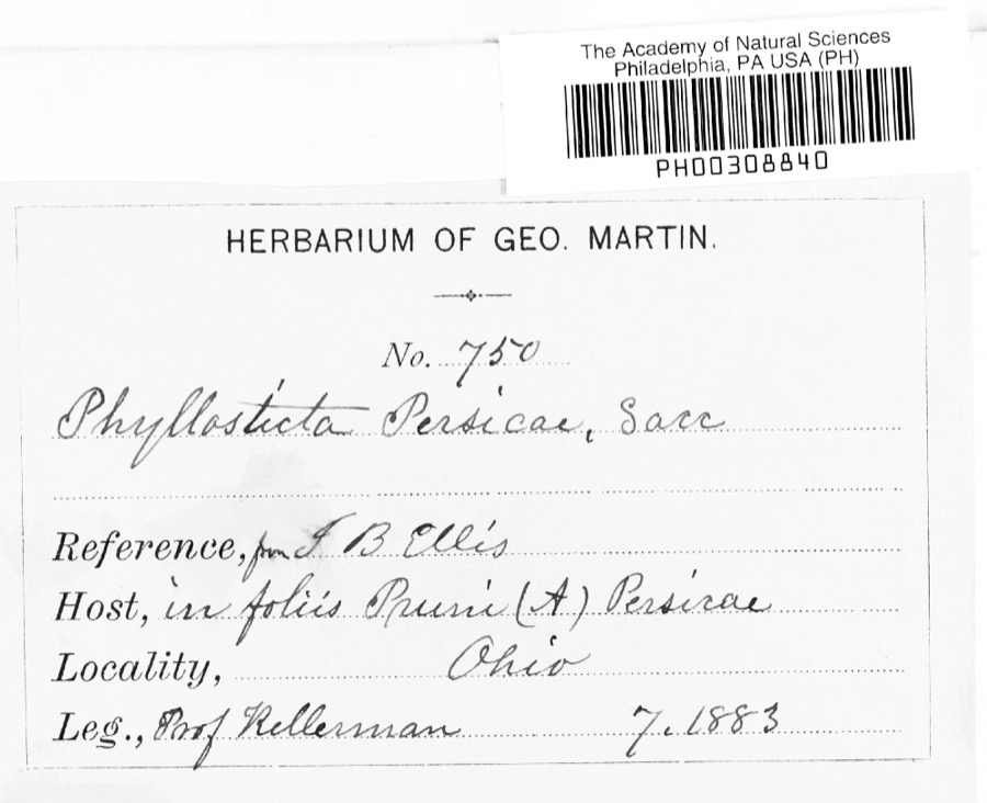 | Phyllosticta persicae Sacc. | 1883 | W. A. Kellermann |
All 785 specimens within 10 miles, at the Global Biodiversity Information Facility.
Nearest settlements
The eight closest, with where each one stands in the county. Distances are straight-line, computed from the Geographic Names Information System coordinates.
| Map | Place | Distance | Sheets |
|---|---|---|---|
| Five Corners | 2.9 miles | 10 | |
| Milfordton | 2.9 miles | 10 | |
| Myers Corners | 3.9 miles | 10 | |
| Dalrymple Corners | 4.0 miles | 11 | |
| Bangs | 4.1 miles | 10 | |
| Centerburg | 4.6 miles | 10 | |
| Rich Hill | 5.4 miles | 10 | |
| Hedington Corners | 5.7 miles | 10 |
Elsewhere
Matched on this settlement's Geographic Names Information System number rather than its name, so it cannot be a different place of the same name in another state.
| Wikipedia article on Mount Liberty | An encyclopaedic summary. Its text is share-alike, so it is linked here rather than copied. |
| Wikidata item Q6921838 | The structured record the population and elevation above come from. Public domain (CC0). |
Provenance
This settlement is recorded in the Geographic Names Information System as feature 1065072. The sheet list is computed by point-in-boundary test against the United States Geological Survey's historical topographic inventory. Both are works of the United States government and carry no copyright under 17 U.S.C. 105.
Wildfire. Short, Karen C. 2022. Spatial wildfire occurrence data for the United States, 1992-2020 [FPA_FOD_20221014]. 6th Edition. Fort Collins, CO: Forest Service Research Data Archive. https://doi.org/10.2737/RDS-2013-0009.6 Collected with United States Government funding and usable without additional permissions or fees.
Specimens. Global Biodiversity Information Facility (GBIF), https://www.gbif.org/. Only records licensed CC0 or CC BY are used. Records licensed CC BY-NC are excluded because this site carries advertising. Images are checked individually and any whose licence is non-commercial, no-derivatives or unreadable is refused.