 Block
River Corners, Ohio
12 topographic sheets cover this place, the earliest surveyed in 1904 and the latest in 1986. It stands in Spencer Township. It lies in ZIP code area 44275. It stands on Coon Creek. The Survey maps it on the Lodi quadrangle.
Then and now
1904 to 1986The same ground, surveyed 82 years apart. Drag the handle to wipe between them. Both sheets are United States Geological Survey originals; neither has been altered.
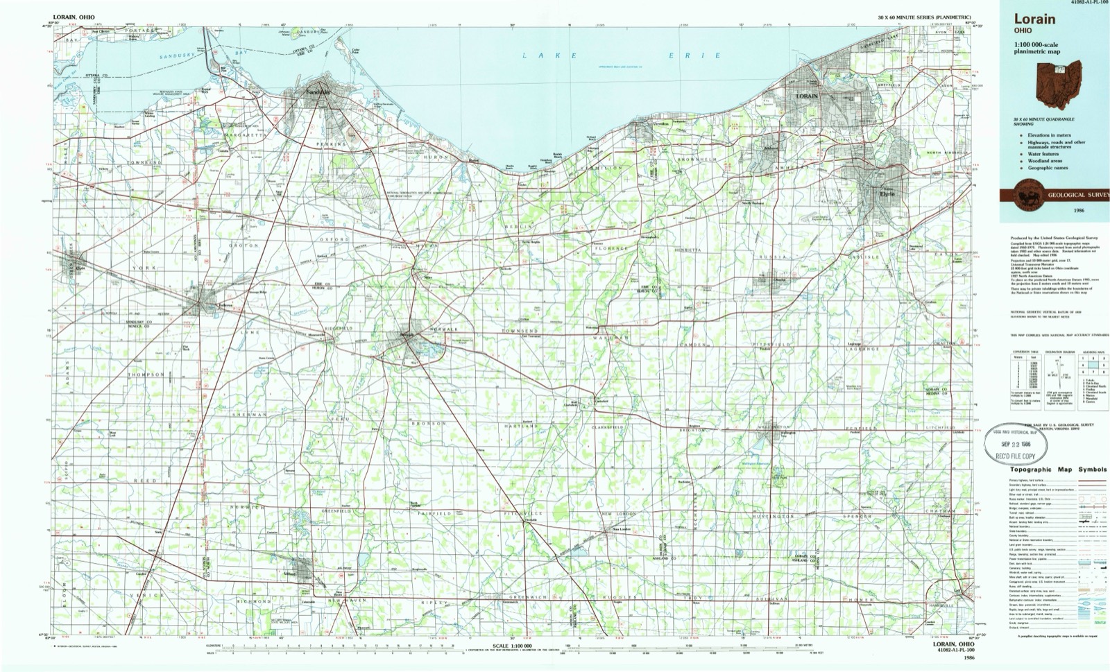
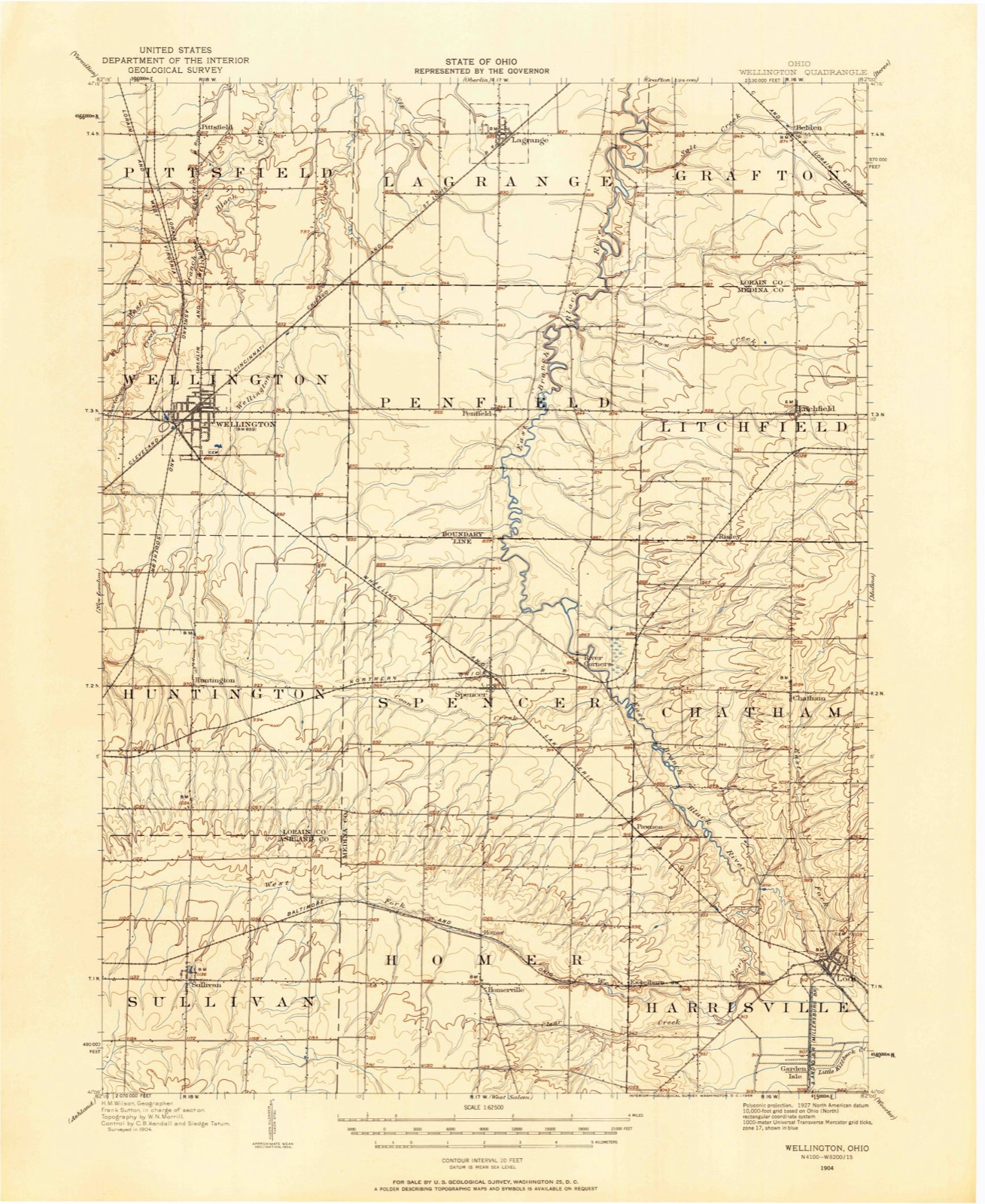
Topographic sheets covering this place
6 surveys from 12 printed sheetsMatched by testing this settlement's coordinate against the published boundary of every sheet in the United States Geological Survey's historical collection. Each opens the scanned sheet at the Survey.
- 1904 USGS Wellington quadrangle1:62500
- 1906 USGS Wellington quadrangle1:62500
- 1956 USGS Toledo quadrangle1:250000, 4 printings
- 1961 USGS Lodi quadrangle1:24000, 3 printings
- 1961 USGS Toledo quadrangle1:250000
- 1986 USGS Lorain quadrangle1:100000, 2 printings
In the county-history sources
6,194 words on this townshipHistory of Medina County and Ohio, Containing a History of the State of Ohio, from Its Earliest Settlement to the Present Time ... a History of Medina County, Giving an Account of Its Aboriginal Inhabitants ... Pioneer Incidents, Its Growth, Its Improvements, Organization of the County ... Biographical Sketches; Portraits of Some of the Early Settlers and Prominent Men, Etc., Etc. .., published 1881 names this settlement in its chapter on Spencer Township. These are the passages that mention it, exactly as the scans read.
! April 7. 1838. The second marriage was with ! Mrs. Sophia (Graves) Tubbs, who was born ! Sept. 19, 1S10. in Leroy, Genesee Co., N. Y. The children were Lucena S., Lebbues A., Charlotte C., Parmelia A., all born in Spencer Township. Mr. Wood has belonged to the Methodist Church for fifty-one \*ears, and has ! assisted in the services, first, as Class-leader and Exhorter. and was ordained Deacon in | 1853. and Elder in 1862. He was one of the ' earliest settlers, and a pioneer preacher ; a con- : scientious earnest worker in his Master's serv- : ice, sometimes, in order to meet appointments, walking to Sullivan, Brighton, Rochester, and j mam* other places to hold divine services on i Sundays. For further details of his pioneer , life, see histoiy of Spencer Township. His son. L. A. Wood, is a farmer, living a mile and three-quarters north of River Corners, formerly called Spencer's Mills. He was married March 22. 1869, to Miss Caroline Ivoons, wrho was i born in Homer, Medina Co., Ohio, Feb. 20, 1850. The names of their children are as follows : Monroe E., born April 26, 1871, and died April 24. 1872 ; Mary A., March 15, 1873 ; Arthur Sidney. July 10. 1875. Mr. Wood's farm contains 103 acres, and shows the evidences of thrift and good management usual to our young American farmers.
Machine-read from a century-old scan, so expect the errors a machine makes: misspelled names, dropped words, stray characters.
Read the whole chapter on Spencer Township - it names this place 1 more 1 time.
Specimens collected near this place
12 of 193 shownRegional context, not property-specific evidence. Museums hold 193 specimens collected within 10 miles of River Corners between 1888 and 1975: 165 Animalia, 15 Fungi, 12 Plantae, 1 Protozoa. 12 distinct Species records are shown. Collected by A. Roberts, B.J. Zahuranec, BJ Zahuranec & party and others. Each is a physical object with a catalogue number, and each entry opens the museum's record. This is what was collected and kept, not a survey of what lives here - nothing can be concluded from a species being absent.
| Image | Species | Year | Collected by | Where, as recorded |
|---|---|---|---|---|
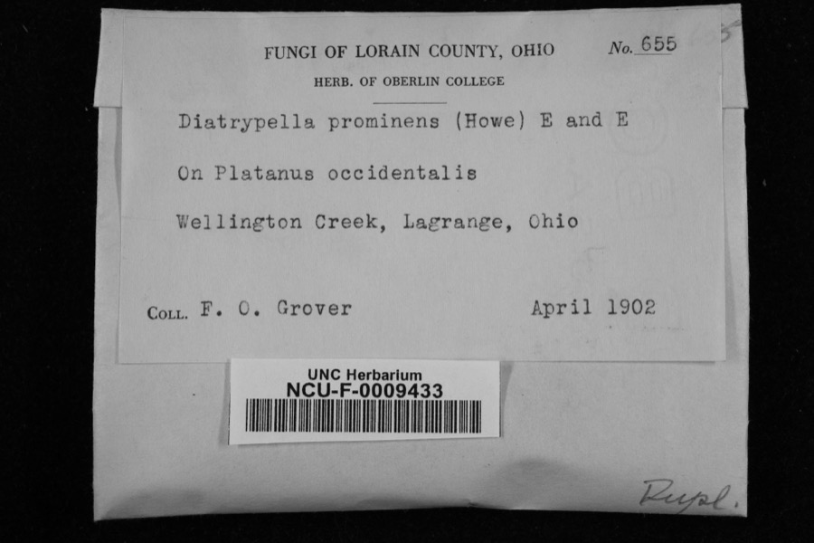 | Diatrypella prominens (Howe) Ellis & Everh. | 1902 | Grover, F. O. | Wellington Creek, Lagrange, Ohio |
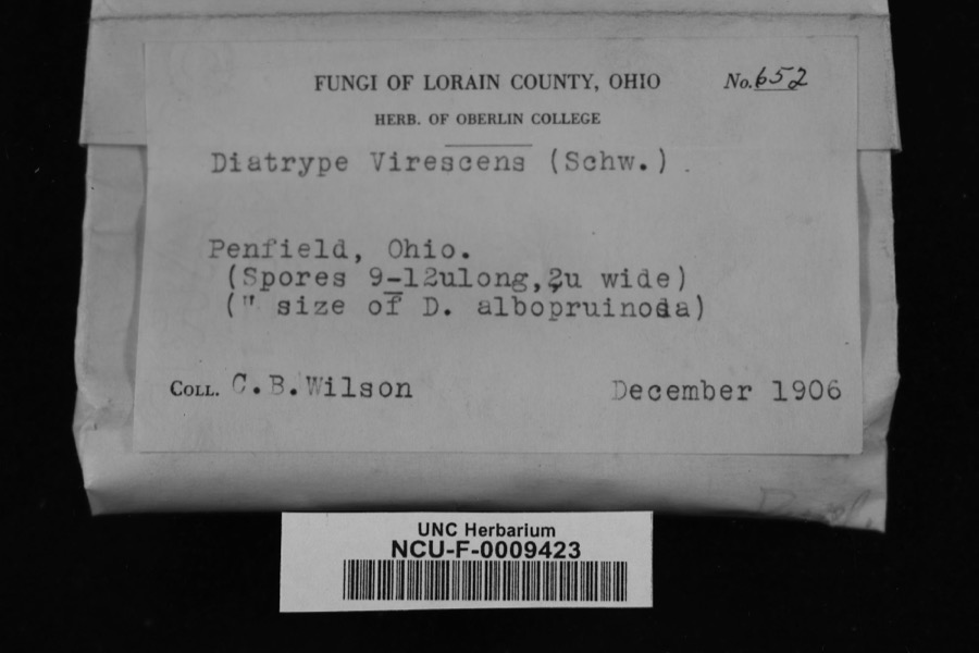 | Diatrype virescens (Schwein.) Cooke | 1906 | Wilson, C. B. | Penfield, Ohio |
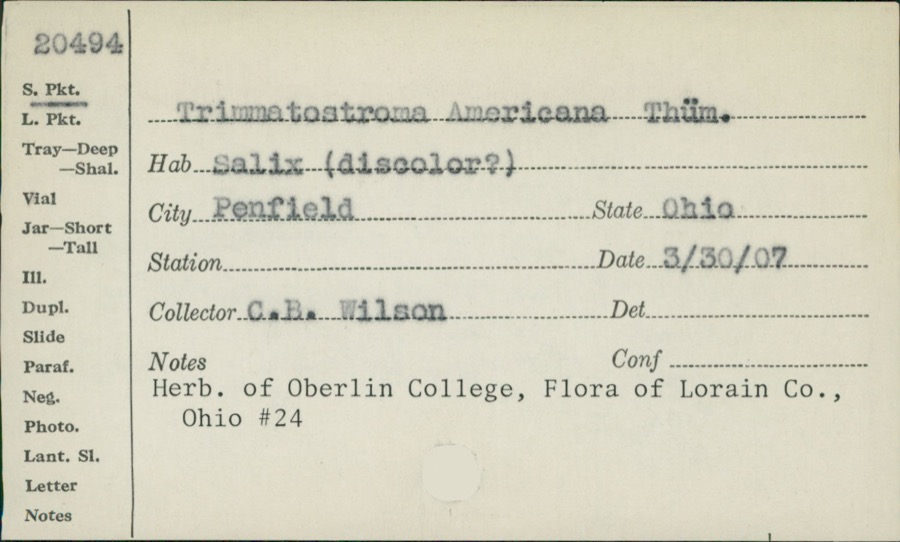 | Trimmatostroma Corda | 1907 | C.B. Wilson | |
 | Lilium canadense L. | 1888 | E. Barrick | Chatham |
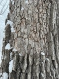 | Aleurodiscus oakesii (Berk. & M.A.Curtis) Cooke | 1894 | F. D. Kelsey | Penfield |
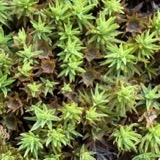 | Atrichum angustatum (Brid.) Bruch & Schimp. | 1894 | F. D. Kelsey | Penfield |
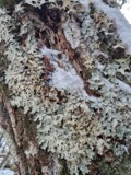 | Lobaria amplissima (Scop.) Forssell | 1894 | Francis D Kelsey | Penfield |
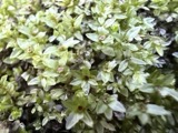 | Mnium stellare Hedw. | 1894 | F. D. Kelsey | Penfield |
 | Mycosphaerella macularis (Fr.) J.Schröt. | 1894 | Kelsey F. D. | Penfield |
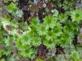 | Rhodobryum ontariense (Kindb.) Paris | 1894 | F. D. Kelsey | Penfield |
 | Ricasolia quercizans (Michx.) Stizenb. | 1894 | Kelsey, F. D. | Penfield |
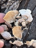 | Stereum fasciatum (Schwein.) Fr. | 1894 | Kelsey F. D. | Penfield |
All 193 specimens within 10 miles, at the Global Biodiversity Information Facility.
Nearest settlements
The eight closest, with where each one stands in the county. Distances are straight-line, computed from the Geographic Names Information System coordinates.
| Map | Place | Distance | Sheets |
|---|---|---|---|
| Spencer | 1.6 miles | 12 | |
| Centerville (historical) | 2.6 miles | 12 | |
| Pawnee | 2.8 miles | 12 | |
| Risley (historical) | 3.4 miles | 11 | |
| Chatham | 3.8 miles | 12 | |
| Geisingers Corners (historical) | 4.3 miles | 12 | |
| Homer | 4.6 miles | 12 | |
| Esselburn | 5.6 miles | 12 |
Elsewhere
Matched on this settlement's Geographic Names Information System number rather than its name, so it cannot be a different place of the same name in another state.
| Wikidata item Q122542513 | The structured record the population and elevation above come from. Public domain (CC0). |
Provenance
This settlement is recorded in the Geographic Names Information System as feature 1061610. The sheet list is computed by point-in-boundary test against the United States Geological Survey's historical topographic inventory. Both are works of the United States government and carry no copyright under 17 U.S.C. 105.
Specimens. Global Biodiversity Information Facility (GBIF), https://www.gbif.org/. Only records licensed CC0 or CC BY are used. Records licensed CC BY-NC are excluded because this site carries advertising. Images are checked individually and any whose licence is non-commercial, no-derivatives or unreadable is refused.