 Block
Homer, Ohio
12 topographic sheets cover this place, the earliest surveyed in 1904 and the latest in 1986. It stands in Homer Township. It lies in ZIP code area 44235. The Survey maps it on the Sullivan quadrangle.
Then and now
1904 to 1986The same ground, surveyed 82 years apart. Drag the handle to wipe between them. Both sheets are United States Geological Survey originals; neither has been altered.
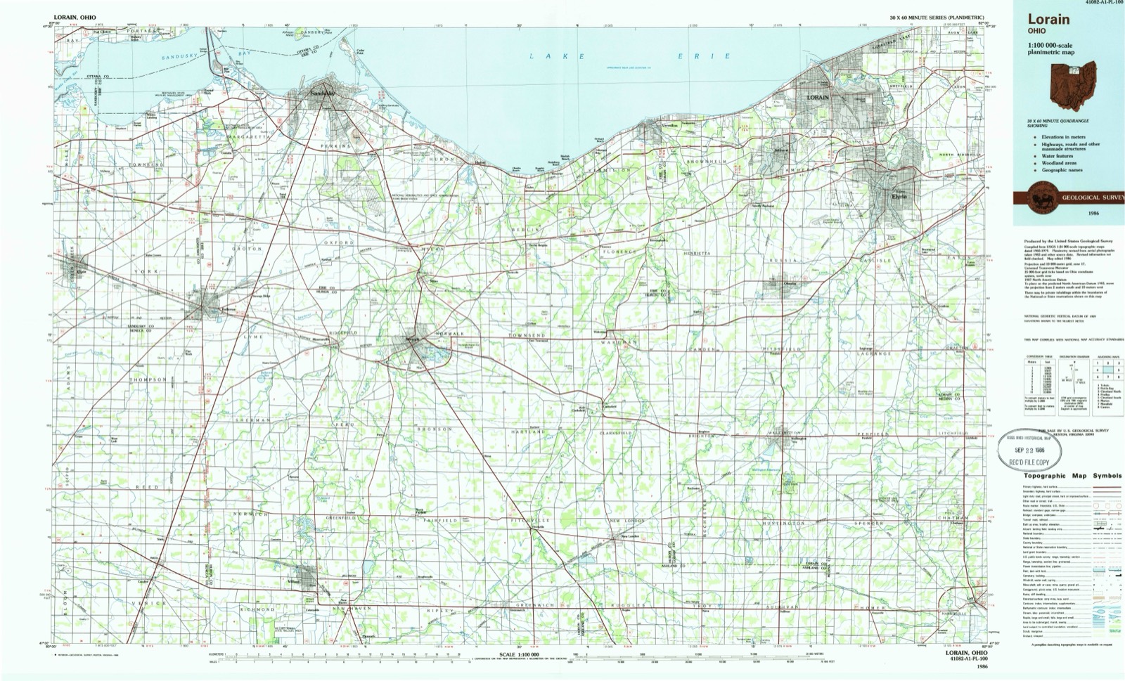
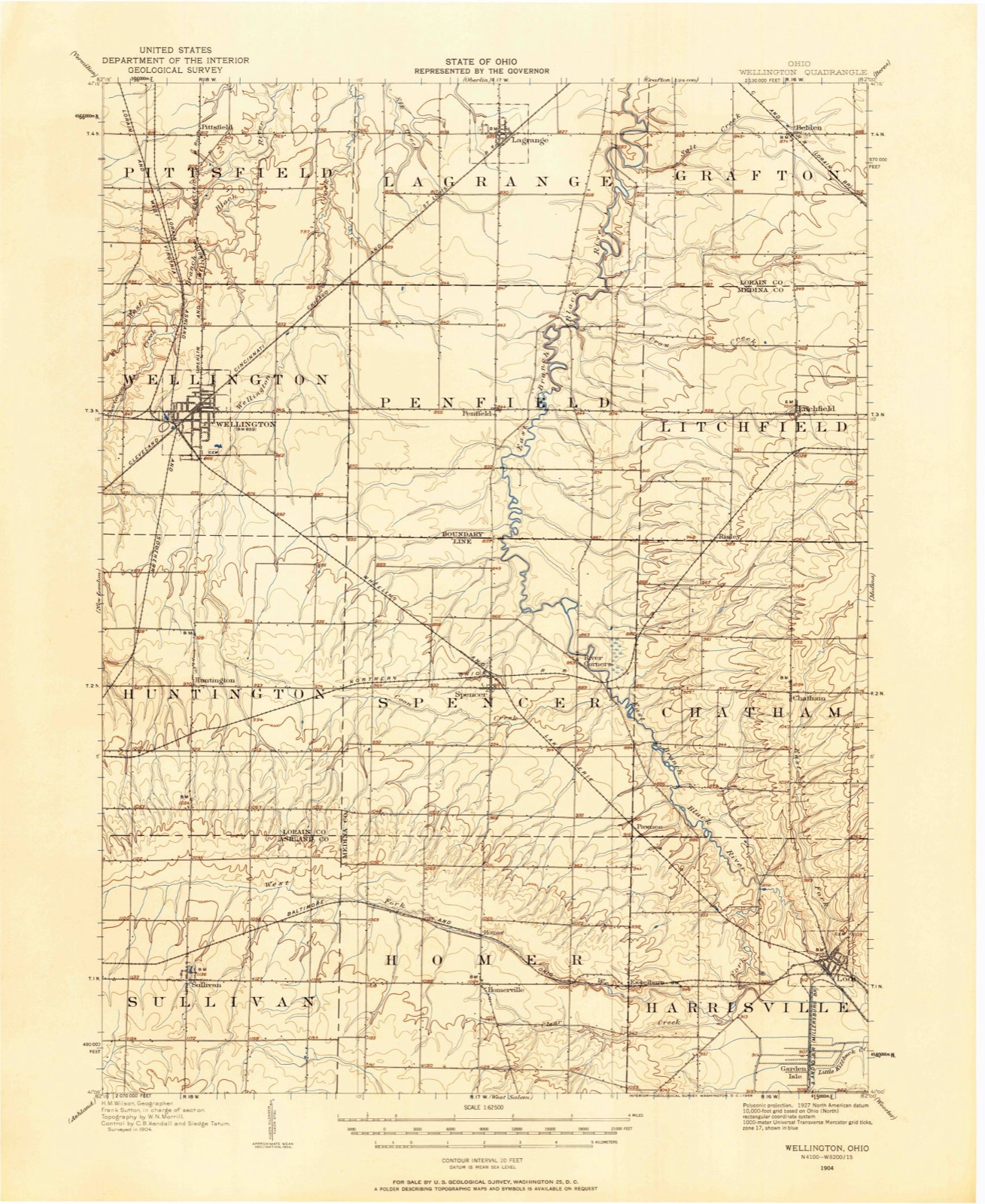
Topographic sheets covering this place
6 surveys from 12 printed sheetsMatched by testing this settlement's coordinate against the published boundary of every sheet in the United States Geological Survey's historical collection. Each opens the scanned sheet at the Survey.
- 1904 USGS Wellington quadrangle1:62500
- 1906 USGS Wellington quadrangle1:62500
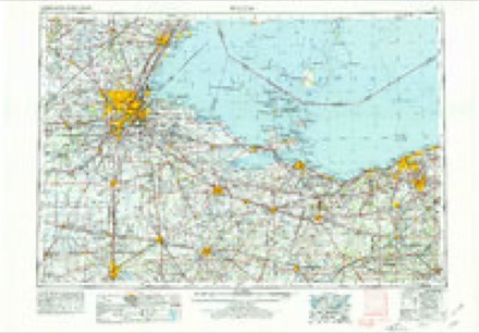
- 1956 USGS Toledo quadrangle1:250000, 4 printings
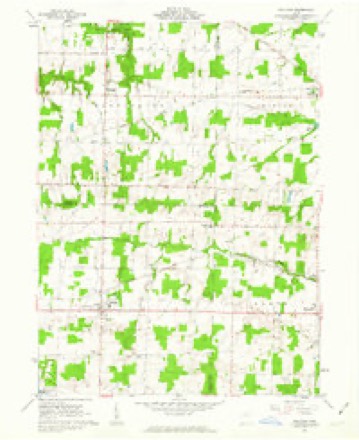
- 1961 USGS Sullivan quadrangle1:24000, 3 printings
- 1961 USGS Toledo quadrangle1:250000
- 1986 USGS Lorain quadrangle1:100000, 2 printings
In the county-history sources
1,866 words on this townshipPioneer History of Medina County, published 1861 names this settlement in its chapter on Homer Township. These are the passages that mention it, exactly as the scans read.
Many of the incidents narrated relative to the first settlements in Harrisville, embrace a portion of territory and some of the characters that are now in Homer township. For many years prior to township organizations the interests of the two were partially indentified.
Passage source: Pioneer History of Medina County, published 1861.
The first opening within the present limits of the township, was made by Mr. Parks, who is still a resident. In 1831, the whole township was unsettled, with only here and there a few rude structures that had been erected by the migrating hunters for a temporary occupancy.
Passage source: Pioneer History of Medina County, published 1861.
Duncan Williams, who is now the owner of large farm within the township. The settlements were rapid and the openings and improvements now seen, give evidence of untiring industry ; and should the same perseverance be exercised for the next twenty years. Homer township will vie with any of the older settled townships, in agricultural products. There is also a marked advance seen in the erection of dwellings and other buildings, in the planting and cultivation of orchards and ornamental shrubbery, and in the selection of live stock. Not unfrequentl'y the cattle from Homer, exhibited at our Fair, have taken tlje premium.
Passage source: Pioneer History of Medina County, published 1861.
Machine-read from a century-old scan, so expect the errors a machine makes: misspelled names, dropped words, stray characters.
Read the whole chapter on Homer Township - it names this place 2 more 2 times.
Fires near this place
5 since 2019Regional context, not property-specific evidence. The federal wildfire occurrence database lists 5 fires within 5 miles of Homer between 2019 and 2020, burning about 12 acres in total. None started naturally. None was recorded as arson. Distance is straight-line from the map coordinates, so a fire counted here may appear on a neighbouring settlement's page as well.
| Reported cause | Fires |
|---|---|
| Debris and open burning | 2 |
| Equipment and vehicle use | 2 |
| Other causes | 1 |
The most recent of them, most recent first, with the day each was reported and the service that recorded it.
| Date | Cause | Size | Reported by | Name on the report |
|---|---|---|---|---|
| 13 July 2020 | Equipment and vehicle use | 4.0 acres | Ohio Department of Natural Resources | 15779 |
| 13 July 2020 | Equipment and vehicle use | 7.0 acres | Ohio Department of Natural Resources | 15780 |
| 6 April 2020 | Debris and open burning | under an acre | Ohio Department of Natural Resources | 15640 |
| 27 November 2019 | Other causes | under an acre | Ohio Department of Natural Resources | 15366 |
| 9 January 2020 | Debris and open burning | under an acre | Ohio Department of Natural Resources | 15388 |
Settlements close enough to share some of these fires:
Specimens collected near this place
12 of 169 shownRegional context, not property-specific evidence. Museums hold 169 specimens collected within 10 miles of Homer between 1888 and 1975: 147 Animalia, 12 Fungi, 10 Plantae. 12 distinct Species records are shown. Collected by BJ Zahuranec & party, Bosler, C.B. Wilson and others. Each is a physical object with a catalogue number, and each entry opens the museum's record. This is what was collected and kept, not a survey of what lives here - nothing can be concluded from a species being absent.
| Image | Species | Year | Collected by | Where, as recorded |
|---|---|---|---|---|
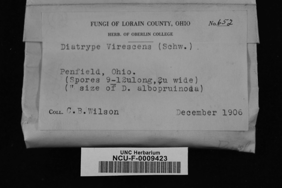 | Diatrype virescens (Schwein.) Cooke | 1906 | Wilson, C. B. | Penfield, Ohio |
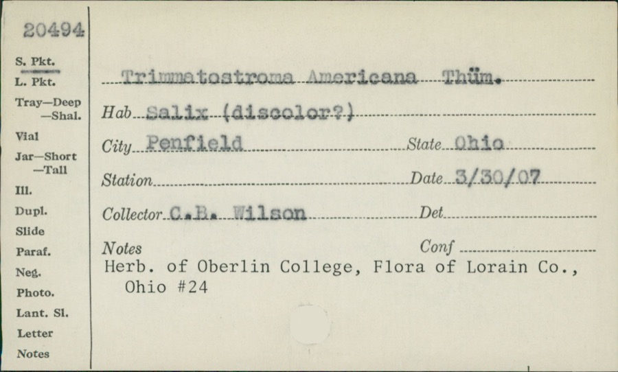 | Trimmatostroma Corda | 1907 | C.B. Wilson | |
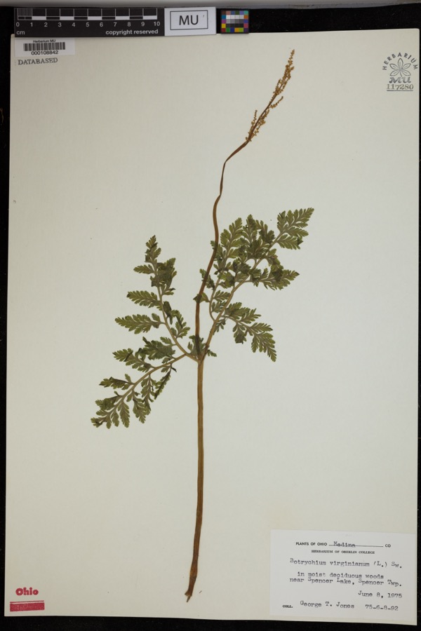 | Botrychium virginianum (L.) Sw. | 1975 | Jones, G.T. | In moist deciduous woods near Spencer Lake, Spencer Twp. |
 | Lilium canadense L. | 1888 | E. Barrick | Chatham |
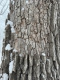 | Aleurodiscus oakesii (Berk. & M.A.Curtis) Cooke | 1894 | F. D. Kelsey | Penfield |
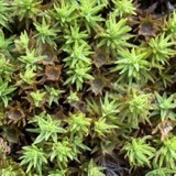 | Atrichum angustatum (Brid.) Bruch & Schimp. | 1894 | F. D. Kelsey | Penfield |
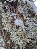 | Lobaria amplissima (Scop.) Forssell | 1894 | Francis D Kelsey | Penfield |
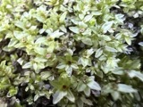 | Mnium stellare Hedw. | 1894 | F. D. Kelsey | Penfield |
 | Mycosphaerella macularis (Fr.) J.Schröt. | 1894 | Kelsey F. D. | Penfield |
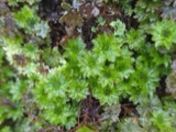 | Rhodobryum ontariense (Kindb.) Paris | 1894 | F. D. Kelsey | Penfield |
 | Ricasolia quercizans (Michx.) Stizenb. | 1894 | Kelsey, F. D. | Penfield |
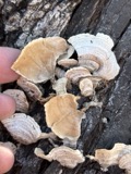 | Stereum fasciatum (Schwein.) Fr. | 1894 | Kelsey F. D. | Penfield |
All 169 specimens within 10 miles, at the Global Biodiversity Information Facility.
Nearest settlements
The eight closest, with where each one stands in the county. Distances are straight-line, computed from the Geographic Names Information System coordinates.
| Map | Place | Distance | Sheets |
|---|---|---|---|
| Homerville | 1.1 miles | 12 | |
| Newtons (historical) | 1.8 miles | 12 | |
| Esselburn | 2.8 miles | 12 | |
| Pawnee | 3.0 miles | 12 | |
| Spencer | 3.8 miles | 12 | |
| Centerville (historical) | 3.9 miles | 12 | |
| Crawford Corners | 4.5 miles | 12 | |
| River Corners | 4.6 miles | 12 |
Provenance
This settlement is recorded in the Geographic Names Information System as feature 1061127. The sheet list is computed by point-in-boundary test against the United States Geological Survey's historical topographic inventory. Both are works of the United States government and carry no copyright under 17 U.S.C. 105.
Wildfire. Short, Karen C. 2022. Spatial wildfire occurrence data for the United States, 1992-2020 [FPA_FOD_20221014]. 6th Edition. Fort Collins, CO: Forest Service Research Data Archive. https://doi.org/10.2737/RDS-2013-0009.6 Collected with United States Government funding and usable without additional permissions or fees.
Specimens. Global Biodiversity Information Facility (GBIF), https://www.gbif.org/. Only records licensed CC0 or CC BY are used. Records licensed CC BY-NC are excluded because this site carries advertising. Images are checked individually and any whose licence is non-commercial, no-derivatives or unreadable is refused.