 Block
Block
Rogers, Ohio
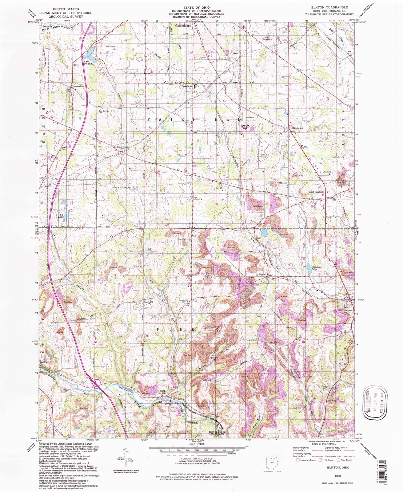
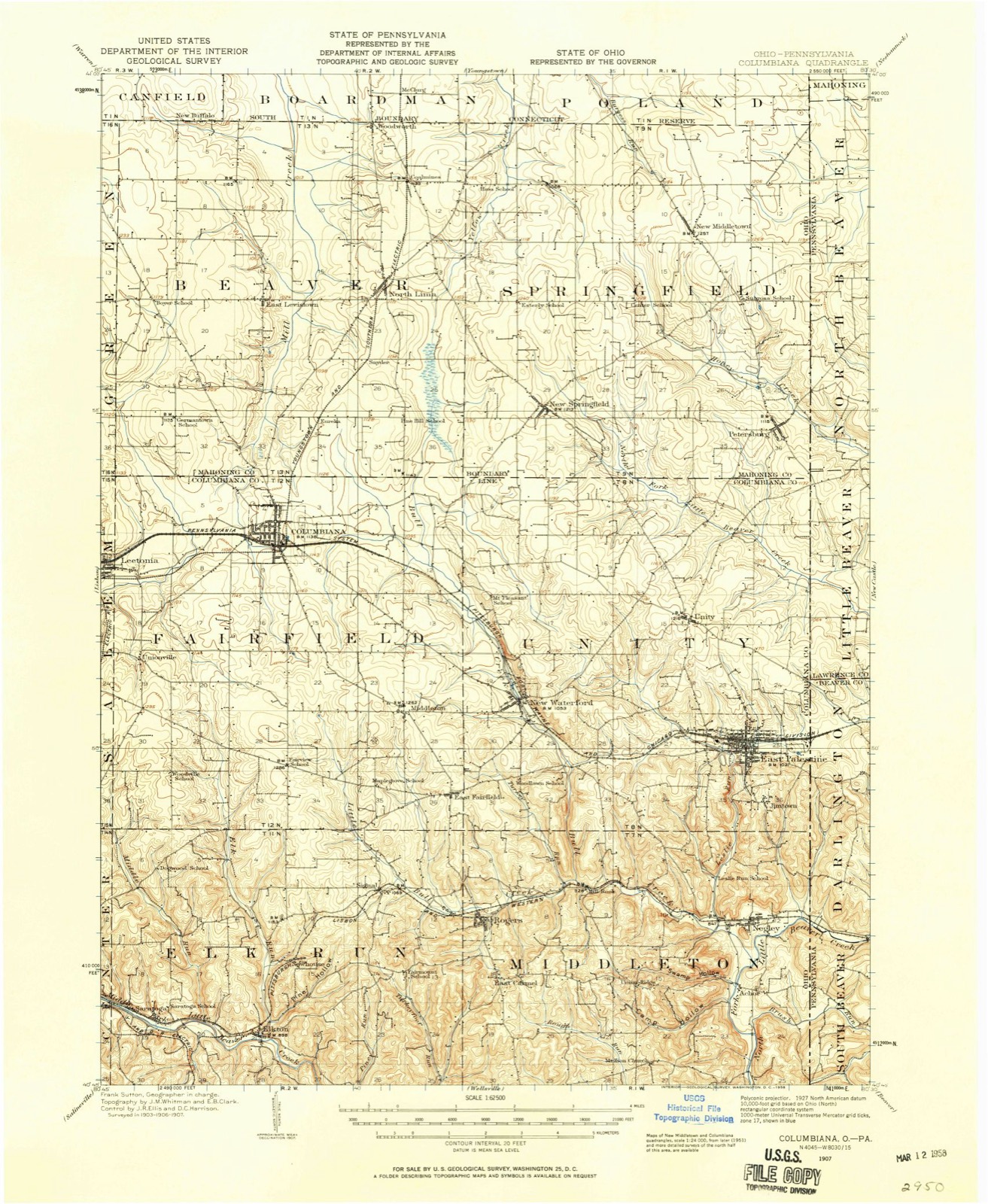
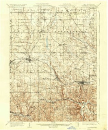
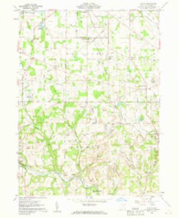
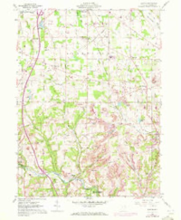
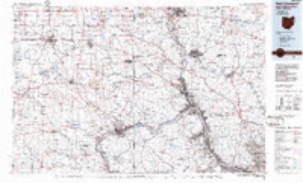
15 topographic sheets cover this place, the earliest surveyed in 1907 and the latest in 1994. It stands in Middleton Township. It lies in ZIP code area 44455. It stands on Turkey Run. The Survey maps it on the Elkton quadrangle. 194 people lived here at the 2020 count. It stands 1,027 feet above sea level.
Population over time
2 figuresRogers fell from 237 to 194 between 2010 and 2020. These are the recorded population figures Wikidata holds for this place, reached through the Geographic Names Information System number this page is keyed on rather than by name, so they belong to this place and not to another of the same name. Most are census counts, but not all are: an early figure may be a founding or settlement estimate. The change column is computed, and is left blank where more than 20 years separate a figure from the one before it, because a gap that long is not a change between two counts.
| Year | People | Change |
|---|---|---|
| 2010 | 237 | |
| 2020 | 194 | -43 (-18%) |
Then and now
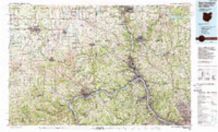
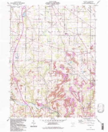
1907 to 1994The same ground, surveyed 87 years apart. Drag the handle to wipe between them. Both sheets are United States Geological Survey originals; neither has been altered.
Compare 1907 against another survey:
Topographic sheets covering this place
15 sheetsMatched by testing this settlement's coordinate against the published boundary of every sheet in the United States Geological Survey's historical collection. Each opens the scanned sheet at the Survey.
- 1907 USGS Columbiana quadrangle1:62500
- 1909 USGS Columbiana quadrangle1:62500
- 1909 USGS Columbiana quadrangle1:62500
- 1951 USGS Canton quadrangle1:250000
- 1953 USGS Canton quadrangle1:250000
- 1957 USGS Canton quadrangle1:250000
- 1957 USGS Canton quadrangle1:250000
- 1957 USGS Canton quadrangle1:250000
- 1960 USGS Elkton quadrangle1:24000
- 1960 USGS Elkton quadrangle1:24000
- 1962 USGS Canton quadrangle1:250000
- 1962 USGS Canton quadrangle1:250000
- 1986 USGS East Liverpool quadrangle1:100000
- 1986 USGS East Liverpool quadrangle1:100000
- 1994 USGS Elkton quadrangle1:24000







In the county-history sources
19,600 words on this townshipHistory of Columbiana County, Ohio, published 1879 names this settlement in its chapter on Middleton Township. These are the passages that mention it, exactly as the scans read.
Some time before 1840 a meeting-house was built of logs on the farm of Elias Holloway, on section 29, which was at one time occupied by a large and very flourishing congregation of more than 100 members. Among these were persons belonging to the Freed, Zepernick, Ney, Croft, Crook, Ward, Rogers, Henry, Wallahan, and other families. The organization of Methodist societies in the surrounding villages, and the removal of members, so much weakened the society that it was allowed to go down before 1860. Since then occasional meetings have been held, but the building is now unfit for further use.
Passage source: History of Columbiana County, Ohio, published 1879.
Before this period, in 1802 and earlier, Job Rossell settled on section 13, where he reared three sons, Thomas, Caleb, and Job ; the latter is still living in the northern part of the township. On the same section were Abraham Z ., Joel, Levi, and Robert Rogers, and John Briggs. The latter removed early ; and many of the early settlers of Middleton resided there only a few years, until the interior of the county and the country beyond presented more favorable conditions for pioneer-homes, when they left, and it is extremely difficult to obtain an accurate account of them, and others who deserve mention in this connection.
Passage source: History of Columbiana County, Ohio, published 1879.
On section 3, among the pioneers were Thomas Rogers, who came in 1806, George Brown, who came in 1804, and Samuel Gorby and Henry Garrett. A son of Rogers, James, was born on the homestead, which he now occupies. Descendants of the others also live in the township.
Passage source: History of Columbiana County, Ohio, published 1879.
Machine-read from a century-old scan, so expect the errors a machine makes: misspelled names, dropped words, stray characters.
Read the whole chapter on Middleton Township - it names this place 5 more 5 times.
Fires near this place
29 since 2005Regional context, not property-specific evidence. The federal wildfire occurrence database lists 29 fires within 5 miles of Rogers between 2005 and 2020, burning about 19 acres in total. None started naturally. None was recorded as arson. Distance is straight-line from the map coordinates, so a fire counted here may appear on a neighbouring settlement's page as well.
| Reported cause | Fires |
|---|---|
| Debris and open burning | 21 |
| Missing data/not specified/undetermined | 4 |
| Smoking | 2 |
| Recreation and ceremony | 2 |
The most recent of them, most recent first, with the day each was reported and the service that recorded it.
| Date | Cause | Size | Reported by | Name on the report |
|---|---|---|---|---|
| 3 June 2016 | Smoking | under an acre | Ohio Department of Natural Resources | 5006 |
| 4 May 2015 | Missing data/not specified/undetermined | under an acre | Ohio Department of Natural Resources | 1181 |
| 29 May 2015 | Recreation and ceremony | 1.0 acres | Ohio Department of Natural Resources | 1741 |
| 6 April 2010 | Debris and open burning | under an acre | Ohio Department of Natural Resources | not named |
| 5 April 2015 | Missing data/not specified/undetermined | 1.0 acres | Ohio Department of Natural Resources | 866 |
| 3 April 2014 | Debris and open burning | under an acre | Ohio Department of Natural Resources | not named |
| 18 April 2014 | Debris and open burning | under an acre | Ohio Department of Natural Resources | not named |
| 14 April 2005 | Debris and open burning | under an acre | Ohio Department of Natural Resources | not named |
Settlements close enough to share some of these fires:
Specimens collected near this place
12 of 752 shownRegional context, not property-specific evidence. Museums hold 752 specimens collected within 10 miles of Rogers between 1882 and 1975: 421 Animalia, 302 Plantae, 28 Fungi, 1 Unrecorded. 12 distinct Species records are shown. Collected by Adler, K. K., Andreas, B.; Cusick, A.W., Armbruster, D. C. (Daniel C.) and others. Each is a physical object with a catalogue number, and each entry opens the museum's record. This is what was collected and kept, not a survey of what lives here - nothing can be concluded from a species being absent.
| Image | Species | Year | Collected by | Where, as recorded |
|---|---|---|---|---|
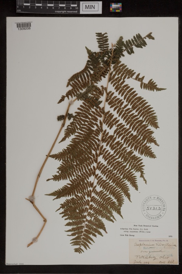 | Athyrium filix-femina var. angustum (Willd.) G.Lawson | 1885 | Shafer, J.A. | Petersburg |
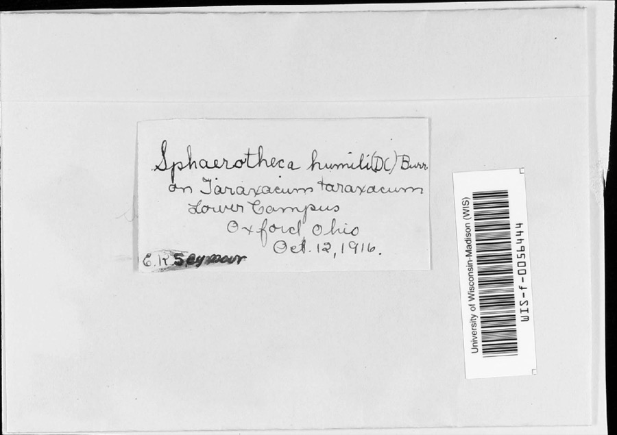 | Sphaerotheca humuli var. fuliginea (Schltdl.) E.S.Salmon | 1916 | E.K. Seymour | Lower campus |
 | Irpiciporus tulipiferae (Schwein.) Murrill | 1917 | Overholts | W. Elkton |
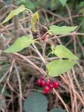 | Solanum dulcamara L. | 1882 | Shafer, J.A. | near Petersburg |
 | Equisetum hyemale subsp. affine (A.Braun & Engelm.) A.A.Eaton | 1883 | Shafer, J.A. | near Petersburg |
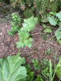 | Levisticum officinale W.D.J.Koch | 1883 | Shafer, J.A. | Petersburg |
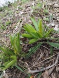 | Armoracia rusticana P.Gaertn., B.Mey. & Scherb. | 1884 | Shafer, J.A. | Wm. Hills place near Petersburg |
 | Botrychium dissectum Spreng. | 1884 | Shafer, J.A. | near Petersburg |
 | Carex lupulina Muhl. ex Willd. | 1884 | Shafer, J.A. | near Petersburg |
 | Chelone glabra L. | 1884 | Shafer, J.A. | near Petersburg |
 | Clematis virginiana L. | 1884 | Shafer, J.A. | Petersburg |
 | Cornus florida L. | 1884 | Shafer, J.A. | near Petersburg |
All 752 specimens within 10 miles, at the Global Biodiversity Information Facility.
Mines and quarries near this place
2 within 5 milesRegional context, not property-specific evidence. The federal mineral resources record lists 2 workings within 5 miles of Rogers: 2 past producers. None of them still produces. What was taken out: Sand and Gravel, Construction. Distance is straight-line from the map coordinates, so a quarry counted here may appear on a neighbouring settlement's page as well.
| Where | Site | Commodity | Status | Recorded |
|---|---|---|---|---|
| Coppock Sand and Gravel Pit | Sand and Gravel, Construction | Past Producer | Sedimentary | |
| Coppock Sand and Gravel Pit | Sand and Gravel, Construction | Past Producer |
Storms near this place
10 since 1997Regional context, not property-specific evidence. The National Weather Service names Rogers in 10 storm reports between 1997 and 2022: 8 thunderstorm wind, 2 flash flood. No death or injury is recorded in these reports. Each account below is quoted exactly as the forecast office filed it, from the NOAA Storm Events Database, and each date opens the federal record of that event.
| When | Event | Place named | Harm | What the report says |
|---|---|---|---|---|
| June 2020 | Thunderstorm Wind | Rogers | $100,000 | This path was evaluated owing to the presence of a radar-depicted|mesovortex track. Damage along this extensive track was the most|considerable examined today, with abundant tree destruction in the|form of uprooted or snapped hardwood trunks, widespread snapped|large limbs and occasional fascia and shingle damage to single-|family residences. A tree was blown onto an occupied vehicle east|of Rogers, OH early in the swath before wind speed appeared to|increase considerably. Elsewhere along the path, several |outbuildings suffered roofing damage, including a barn in Lawrence|County, where a portion of the roofing structure was removed and |transported downwind among other local damage. Damage to power|poles along the swath appears tied to trees falling on power|lines.||Damage was concentrated in several areas, including the western|and northern sections of East Palestine, the area near Howell |Road/Route 14 area and areas adjacent to the Pennsylvania Turnpike|in Little Beaver and North Beaver Townships of Lawrence County,|PA.||Ultimately this damage was deemed to be non-tornadic but of|considerable intensity. The swath generally paralleled the radar-|depicted mesovortex on its southeast flank, but featured |considerable width and a modestly divergent pattern atypical of|mesovortex tornadoes. Nevertheless, the wind speed along this|swath was of comparable intensity to many tornadoes and over a |broader area, leading to the widespread damage observed.||At its peak over this roughly 11 mile swath examined, damage was|consistent with speed up to 80 mph at times. A vast majority of|the damage examined was consistent with wind of around 70 mph.||It is entirely probable that severe wind continued northeast of|the swath evaluated today, but a coherent swath was no longer|noted, and the radar-depicted mesovortex dissipated hereafter. |
| April 2020 | Thunderstorm Wind | Rogers | $5,000 | At the intersection of Scotts Mill Road and County Route 154, several trees were reported to be blown down. Time of occurrence was estimated based on radar. |
| June 2002 | Thunderstorm Wind | Rogers | $5,000 | Thunderstorm winds downed several trees and power lines. |
| June 2014 | Thunderstorm Wind | Rogers | $3,000 | Law enforcement reported trees down along Route 7. |
| June 2005 | Thunderstorm Wind | Rogers | $2,000 | Tree down on Rte 558. |
| June 2022 | Thunderstorm Wind | Rogers | - | Trees reported down. |
| September 2018 | Thunderstorm Wind | Rogers | - | A 911 Call Center reported multiple trees and powerlines down. |
| July 2005 | Flash Flood | Rogers | - | Streams overflowed, flooded streets. |
| July 2003 | Thunderstorm Wind | Rogers | - | Trees down. |
| June 1997 | Flash Flood | Rogers | - | Heavy rainfall, mainly in the northeast part of the county, led to low-land flooding and high water on State Routes 7 and 154 near Rogers as Little Bull Creek and its tributaries went out of their banks. |
Nearest settlements
The eight closest, with where each one stands in the county. Distances are straight-line, computed from the Geographic Names Information System coordinates.
| Map | Place | Distance | Sheets |
|---|---|---|---|
| East Carmel | 1.2 miles | 17 | |
| Signal | 1.8 miles | 15 | |
| Mill Rock | 1.9 miles | 17 | |
| East Fairfield | 2.2 miles | 15 | |
| Union Ridge | 2.9 miles | 17 | |
| Newhouse (historical) | 3.1 miles | 15 | |
| Clarkson | 3.1 miles | 22 | |
| New Waterford | 3.8 miles | 17 |
Elsewhere
Matched on this settlement's Geographic Names Information System number rather than its name, so it cannot be a different place of the same name in another state.
| Wikipedia article on Rogers | An encyclopaedic summary. Its text is share-alike, so it is linked here rather than copied. |
| Wikidata item Q653680 | The structured record the population and elevation above come from. Public domain (CC0). |
Provenance
This settlement is recorded in the Geographic Names Information System as feature 1045153. The sheet list is computed by point-in-boundary test against the United States Geological Survey's historical topographic inventory. Both are works of the United States government and carry no copyright under 17 U.S.C. 105.
Wildfire. Short, Karen C. 2022. Spatial wildfire occurrence data for the United States, 1992-2020 [FPA_FOD_20221014]. 6th Edition. Fort Collins, CO: Forest Service Research Data Archive. https://doi.org/10.2737/RDS-2013-0009.6 Collected with United States Government funding and usable without additional permissions or fees.
Specimens. Global Biodiversity Information Facility (GBIF), https://www.gbif.org/. Only records licensed CC0 or CC BY are used. Records licensed CC BY-NC are excluded because this site carries advertising. Images are checked individually and any whose licence is non-commercial, no-derivatives or unreadable is refused.
Mines and quarries. USGS Mineral Resources Data System (MRDS) https://mrdata.usgs.gov/mrds/ A work of the United States government, no copyright under 17 U.S.C. 105.
Storms. NOAA National Centers for Environmental Information, Storm Events Database https://www.ncei.noaa.gov/stormevents/ A work of the United States government, no copyright under 17 U.S.C. 105. Narratives are quoted verbatim from the National Weather Service report and are not edited or summarised.