 Block
Block
Saltillo, Ohio
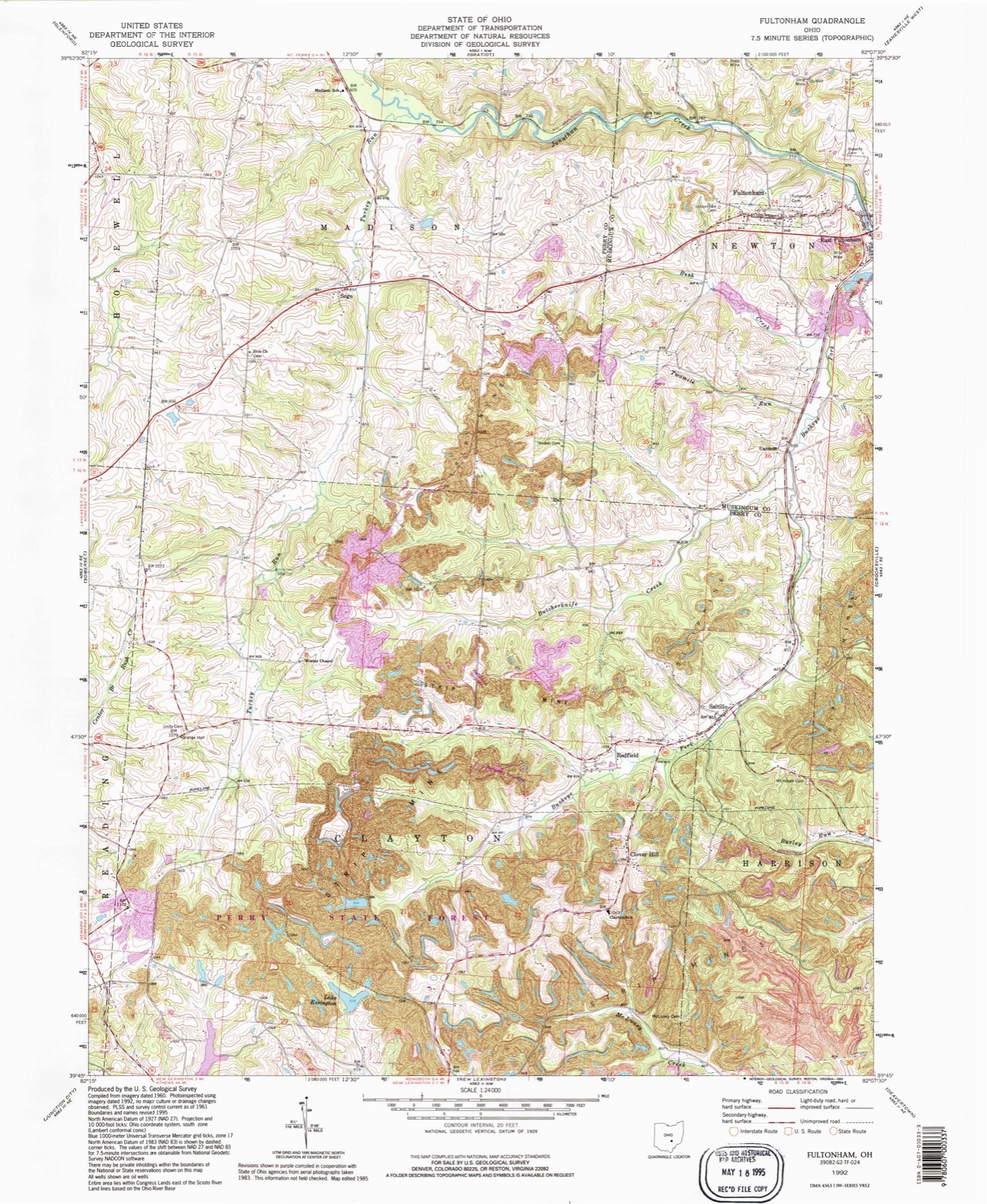
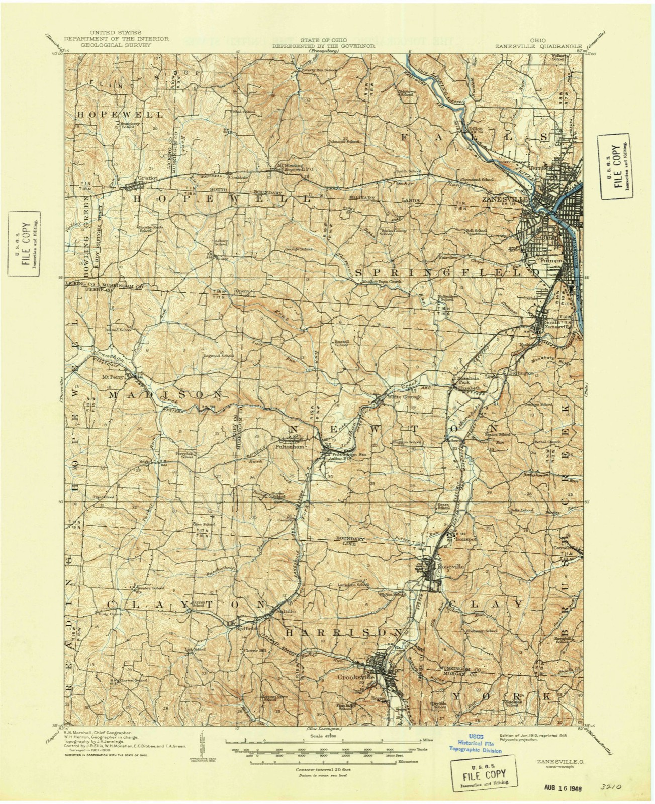
12 topographic sheets cover this place, the earliest surveyed in 1910 and the latest in 1992. It stands in Clayton Township. The Survey maps it on the Fultonham quadrangle.
Then and now
1910 to 1992The same ground, surveyed 82 years apart. Drag the handle to wipe between them. Both sheets are United States Geological Survey originals; neither has been altered.
Compare 1910 against another survey:
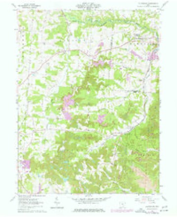
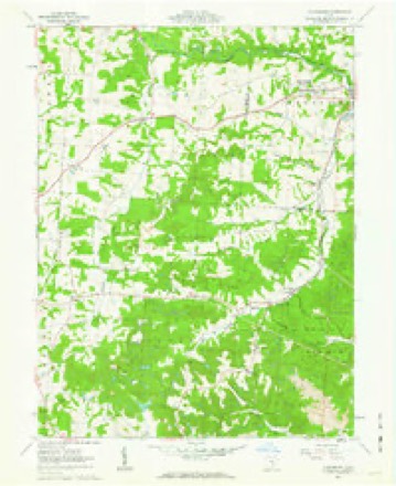
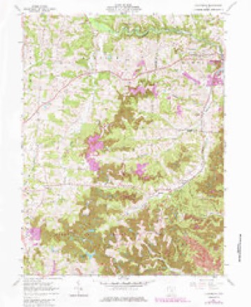
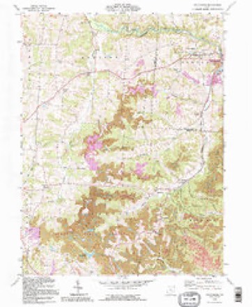
Topographic sheets covering this place
12 sheetsMatched by testing this settlement's coordinate against the published boundary of every sheet in the United States Geological Survey's historical collection. Each opens the scanned sheet at the Survey.
- 1910 USGS Zanesville quadrangle1:62500
- 1910 USGS Zanesville quadrangle1:62500
- 1947 USGS Columbus quadrangle1:250000
- 1961 USGS Columbus quadrangle1:250000
- 1961 USGS Fultonham quadrangle1:24000
- 1961 USGS Fultonham quadrangle1:24000
- 1961 USGS Fultonham quadrangle1:24000
- 1962 USGS Columbus quadrangle1:250000
- 1967 USGS Columbus quadrangle1:250000
- 1967 USGS Columbus quadrangle1:250000
- 1984 USGS Lancaster quadrangle1:100000
- 1992 USGS Fultonham quadrangle1:24000






In the county-history sources
5,721 words on this township1883 History Perry County, Ohio, published 1883 names this settlement in its chapter on Clayton Township. These are the passages that mention it, exactly as the scans read.
The Methodist church at Saltillo was built in 1849. It was composed, to a large extent, of those who had been members ot the Mount Horeb church, in Harrison township, which appointment was discontinued after the establishment of the church at Saltillo. Vhe Saltillo church was, in effect if not in fact, the successor of the Mount Jloreb church, though some of the members of the latter probably united with other congregations. The Saltillo church first belonged to the Somerset circuit, and then for a series of vears to the Rehoboth circuit. It is now a part of the Uniontown circuit.
Passage source: 1883 History Perry County, Ohio, published 1883.
Saltillo was laid out in 1849, by F. Bradshaw, and is situated on Buckeye Creek. There had been a tavern there for many years before the town was laid out, which had been a general stopping place for travelers and grain-haulers. Saltillo has at presenta post oflice, M. E. church, schoolhouse, store, a number of shops, and a population of 80 in 1880. The Columbus and Eastern railroad is located along the Buckeye Valley, near the village. The name of the post oflice is Buckeye Cottage, and at present receives its mail twice a week from New Lexington, a distance of seven miles.
Passage source: 1883 History Perry County, Ohio, published 1883.
Machine-read from a century-old scan, so expect the errors a machine makes: misspelled names, dropped words, stray characters.
Photographs
2 photographs, 2016Taken for the Office of War Information and the Farm Security Administration, who photographed the country between 1935 and 1944. Works of United States government photographers, with no known restriction on use. Each opens its catalogue record.
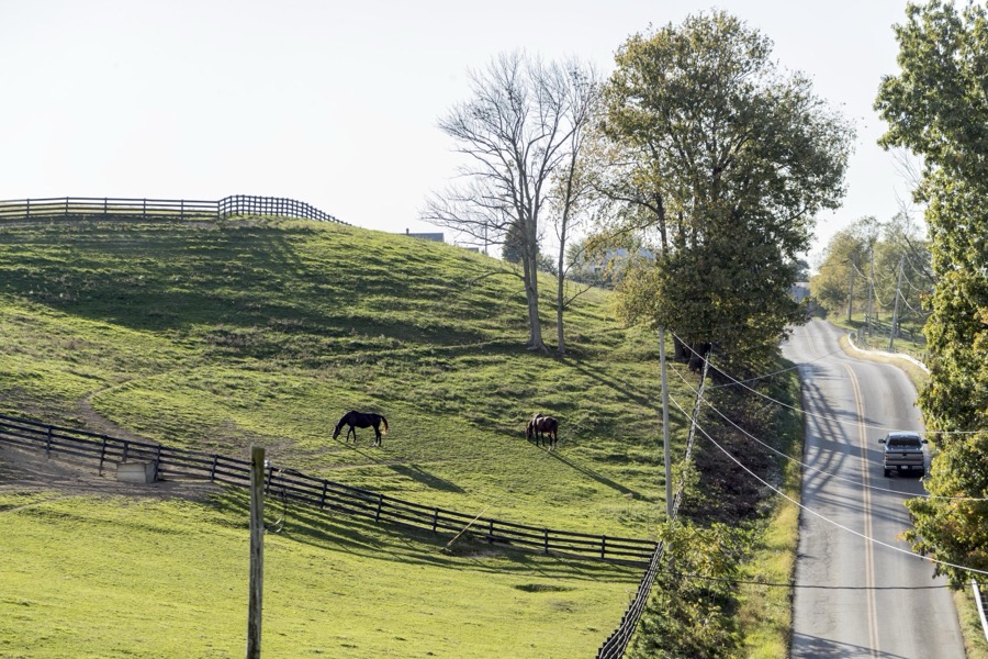
Highsmith, Carol M, 2016. Library of Congress
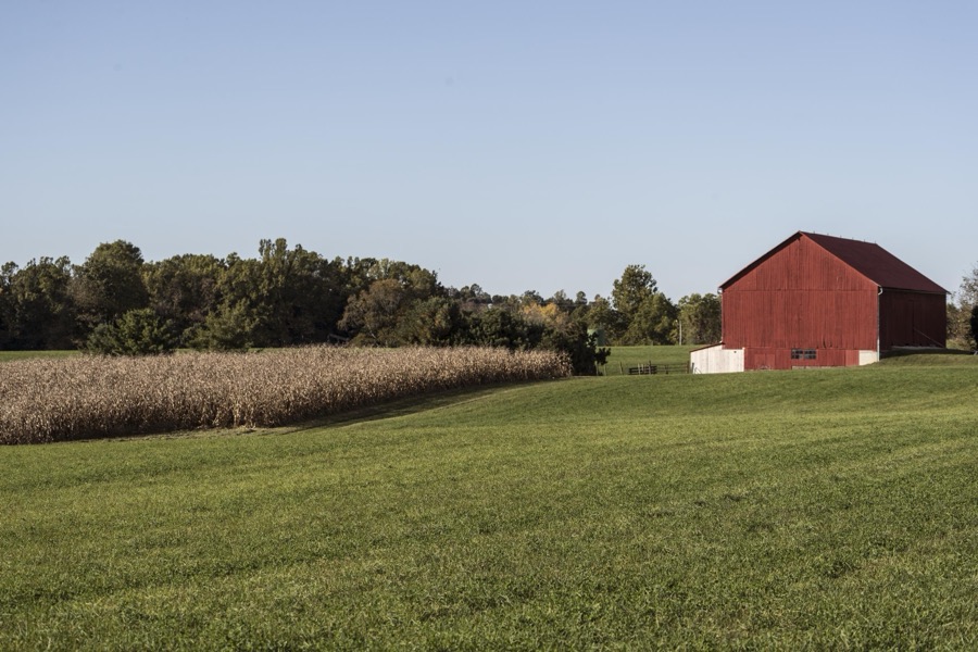
Highsmith, Carol M, 2016. Library of Congress
Fires near this place
43 since 2013Regional context, not property-specific evidence. The federal wildfire occurrence database lists 43 fires within 5 miles of Saltillo between 2013 and 2019, burning about 216 acres in total. None started naturally. 3 were recorded as arson. Distance is straight-line from the map coordinates, so a fire counted here may appear on a neighbouring settlement's page as well.
| Reported cause | Fires |
|---|---|
| Debris and open burning | 32 |
| Missing data/not specified/undetermined | 5 |
| Arson/incendiarism | 3 |
| Smoking | 2 |
| Power generation/transmission/distribution | 1 |
The most recent of them, most recent first, with the day each was reported and the service that recorded it.
| Date | Cause | Size | Reported by | Name on the report |
|---|---|---|---|---|
| 8 May 2015 | Arson/incendiarism | 8.0 acres | Ohio Department of Natural Resources | 1346 |
| 27 May 2015 | Debris and open burning | 3.0 acres | Ohio Department of Natural Resources | 1641 |
| 6 April 2014 | Missing data/not specified/undetermined | under an acre | Ohio Department of Natural Resources | not named |
| 3 April 2013 | Debris and open burning | 1.5 acres | Ohio Department of Natural Resources | not named |
| 26 April 2017 | Missing data/not specified/undetermined | 1.0 acres | Ohio Department of Natural Resources | 8146 |
| 24 April 2016 | Missing data/not specified/undetermined | 5.0 acres | Ohio Department of Natural Resources | 4586 |
| 20 April 2016 | Power generation/transmission/distribution | 5.0 acres | Ohio Department of Natural Resources | 4665 |
| 2 April 2013 | Debris and open burning | 1.0 acres | Ohio Department of Natural Resources | not named |
Settlements close enough to share some of these fires:
Specimens collected near this place
12 of 169 shownRegional context, not property-specific evidence. Museums hold 169 specimens collected within 10 miles of Saltillo between 1891 and 1975: 142 Animalia, 17 Fungi, 7 Plantae, 2 Unrecorded, 1 Protozoa. 12 distinct Species records are shown. Collected by Bergstrom, J., Buchanan, J., Buker, W.E. and others. Each is a physical object with a catalogue number, and each entry opens the museum's record. This is what was collected and kept, not a survey of what lives here - nothing can be concluded from a species being absent.
| Image | Species | Year | Collected by | Where, as recorded |
|---|---|---|---|---|
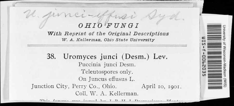 | Uromyces junci-effusi P.Syd. & Syd. | 1910 | W. A. Kellerman | |
 | Holwaya gigantea (Peck) E.J.Durand | 1891 | W. A. Kellerman | [Specific locality illegible.] |
 | Porella platyphylla (L.) Pfeiff. | 1891 | W. C. Werner | |
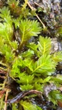 | Fissidens adianthoides Hedw. | 1892 | W. C. Werner | Fultonham |
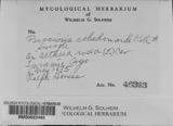 | Puccinia schedonnardi Kellerm. & Swingle | 1895 | W. A. Kellerman | |
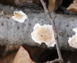 | Uromyces junci Tul. | 1901 | W. A. Kellerman | Junction City |
 | Natrix kirtlandii (Kennicott, 1856) | 1902 | Dilto, C. R. | Perry Co., Ohio |
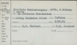 | Puccinia muhlenbergiae Arthur & Holw. | 1902 | W. A. Kellerman & J. McOwen Jr. | |
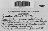 | Endothia fluens (Sowerby) Shear & N.E.Stevens | 1912 | Nixon E. L. | Perry Co. |
 | Telmatodytes palustris (A.Wilson, 1810) | 1926 | Franks, R. W. (Roscoe W.) | Honey Creek, Buckeye Lake, Perry, Ohio, USA |
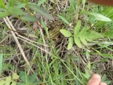 | Rana pipiens Schreber, 1782 | 1927 | Hine, J. S. (James Stewart) & Trautman, M. B. (Milton Bernard) | near Potersville: in edge of Co., Perry Co., Ohio |
 | Agelaius phoeniceus (Linnaeus, 1766) | 1928 | Trautman, M. B. (Milton Bernard) | Buckeye Lake, Perry, Ohio, USA |
All 169 specimens within 10 miles, at the Global Biodiversity Information Facility.
Mines and quarries near this place
9 within 5 milesRegional context, not property-specific evidence. The federal mineral resources record lists 9 workings within 5 miles of Saltillo: 5 producers, 4 past producers. 5 still produce. What was taken out: Clay, Stone, Crushed/Broken, Limestone, General. Distance is straight-line from the map coordinates, so a quarry counted here may appear on a neighbouring settlement's page as well.
| Where | Site | Commodity | Status | Recorded |
|---|---|---|---|---|
| Chesterhill Stone Quarry | Limestone, General | Past Producer | Sedimentary | |
| Chesterhill Stone Quarry | Stone, Crushed/Broken | Producer | ||
| Jonathan Mine | Stone, Crushed/Broken | Producer | ||
| Cannon Clay Mine | Clay | Past Producer | Sedimentary | |
| Cannon Clay Mine | Clay | Past Producer | ||
| Crooksville Pit | Clay | Producer | ||
| Hammer Number 2 Clay Mine | Clay | Past Producer | Sedimentary | |
| Hammer Number 2 Clay Mine | Clay | Producer | ||
| Jonathan Mine | Clay | Producer |
Storms near this place
3 since 2008Regional context, not property-specific evidence. The National Weather Service names Saltillo in 3 storm reports between 2008 and 2022: 3 thunderstorm wind. No death or injury is recorded in these reports. Each account below is quoted exactly as the forecast office filed it, from the NOAA Storm Events Database, and each date opens the federal record of that event.
Nearest settlements
The eight closest, with where each one stands in the county. Distances are straight-line, computed from the Geographic Names Information System coordinates.
| Map | Place | Distance | Sheets |
|---|---|---|---|
| Redfield | 1.1 miles | 12 | |
| Clover Hill | 1.4 miles | 12 | |
| Crooksville | 3.5 miles | 13 | |
| Wesley | 3.6 miles | 12 | |
| Horne (historical) | 3.8 miles | 13 | |
| Brigglesville | 4.2 miles | 13 | |
| Rehoboth | 4.2 miles | 14 | |
| Lyonsdale (historical) | 4.3 miles | 14 |
Provenance
This settlement is recorded in the Geographic Names Information System as feature 1065283. The sheet list is computed by point-in-boundary test against the United States Geological Survey's historical topographic inventory. Both are works of the United States government and carry no copyright under 17 U.S.C. 105.
Wildfire. Short, Karen C. 2022. Spatial wildfire occurrence data for the United States, 1992-2020 [FPA_FOD_20221014]. 6th Edition. Fort Collins, CO: Forest Service Research Data Archive. https://doi.org/10.2737/RDS-2013-0009.6 Collected with United States Government funding and usable without additional permissions or fees.
Specimens. Global Biodiversity Information Facility (GBIF), https://www.gbif.org/. Only records licensed CC0 or CC BY are used. Records licensed CC BY-NC are excluded because this site carries advertising. Images are checked individually and any whose licence is non-commercial, no-derivatives or unreadable is refused.
Mines and quarries. USGS Mineral Resources Data System (MRDS) https://mrdata.usgs.gov/mrds/ A work of the United States government, no copyright under 17 U.S.C. 105.
Storms. NOAA National Centers for Environmental Information, Storm Events Database https://www.ncei.noaa.gov/stormevents/ A work of the United States government, no copyright under 17 U.S.C. 105. Narratives are quoted verbatim from the National Weather Service report and are not edited or summarised.