 Block
Block
Wesley, Ohio
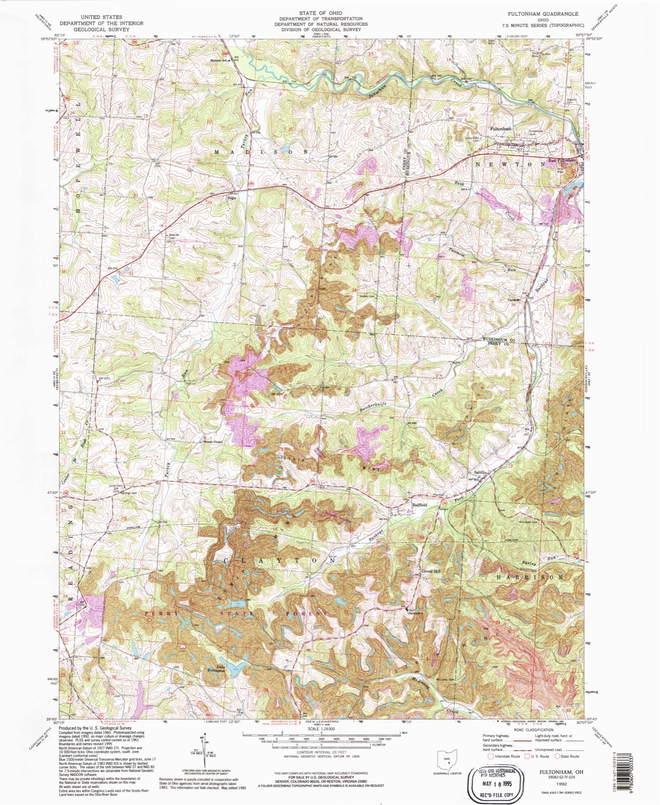
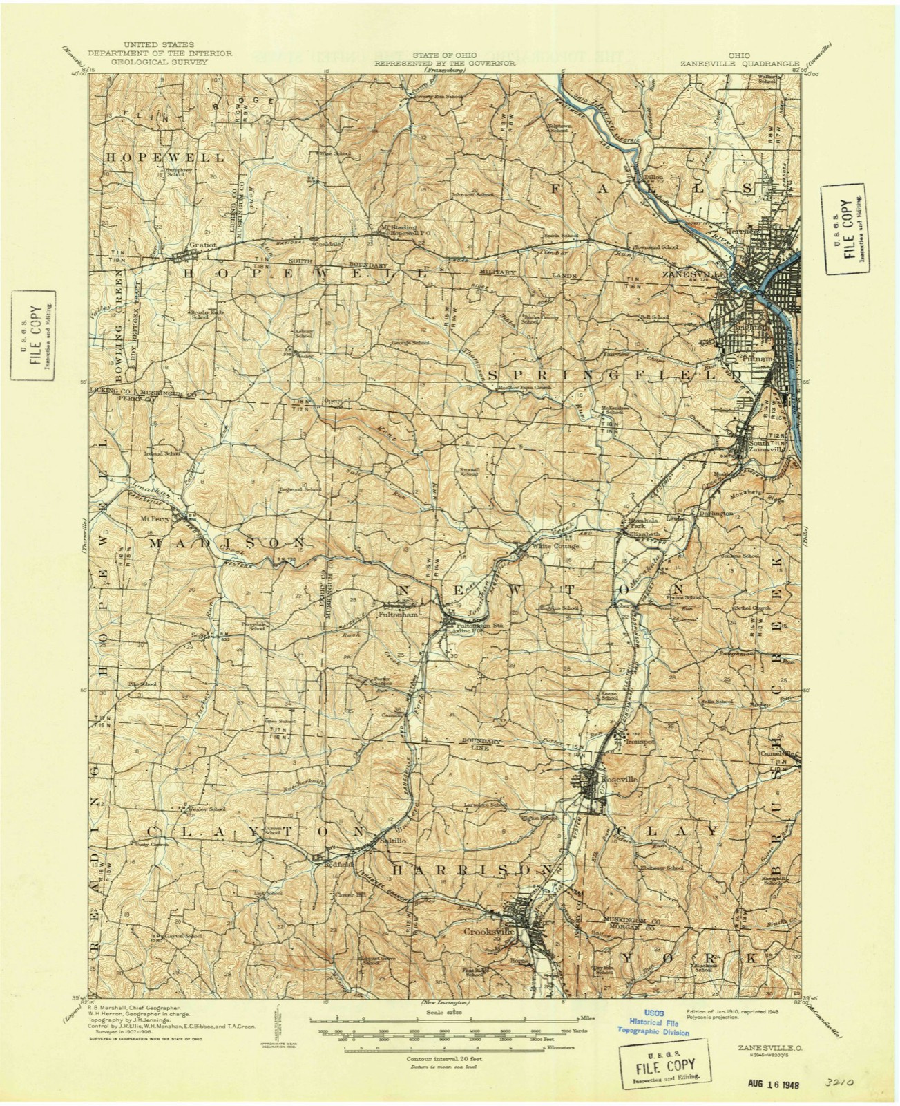
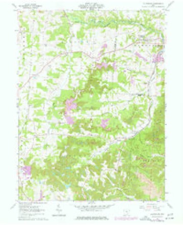
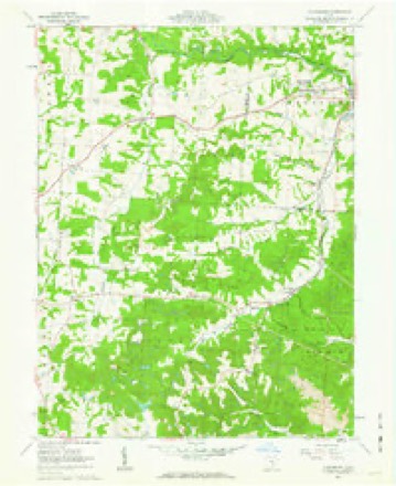
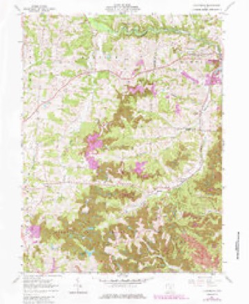
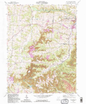
12 topographic sheets cover this place, the earliest surveyed in 1910 and the latest in 1992. It stands in Clayton Township. It lies in ZIP code area 43783. The Survey maps it on the Fultonham quadrangle.
Then and now
1910 to 1992The same ground, surveyed 82 years apart. Drag the handle to wipe between them. Both sheets are United States Geological Survey originals; neither has been altered.
Compare 1910 against another survey:
Topographic sheets covering this place
12 sheetsMatched by testing this settlement's coordinate against the published boundary of every sheet in the United States Geological Survey's historical collection. Each opens the scanned sheet at the Survey.
- 1910 USGS Zanesville quadrangle1:62500
- 1910 USGS Zanesville quadrangle1:62500
- 1947 USGS Columbus quadrangle1:250000
- 1961 USGS Columbus quadrangle1:250000
- 1961 USGS Fultonham quadrangle1:24000
- 1961 USGS Fultonham quadrangle1:24000
- 1961 USGS Fultonham quadrangle1:24000
- 1962 USGS Columbus quadrangle1:250000
- 1967 USGS Columbus quadrangle1:250000
- 1967 USGS Columbus quadrangle1:250000
- 1984 USGS Lancaster quadrangle1:100000
- 1992 USGS Fultonham quadrangle1:24000






In the county-history sources
5,721 words on this township1883 History Perry County, Ohio, published 1883 names this settlement in its chapter on Clayton Township. These are the passages that mention it, exactly as the scans read.
~ Martha Wilson, wife of Judge James Wilson, one of the earliest settlers, was born in Alleghany county, Maryland, Feb. 1786, and died March, 1880, in the ninety-fifth year of her age, and was the last of the pioneer women in Clayton township to pass from time to eternity. She came to the neighborhood where she lived and died, in i811, when neighbors were few and far between. Bears, wolves and panthers, were frequently seen. Once, during the war of 1812, when her husband was absent at Zanesville, there was an alarm that the Indians were coming across the country and murdering the white people. Many families loaded up and fled. Mrs.Wilson having no way to go and take her three children, converted her cabin into a fortress and prepared for battle. She barricaded the door with timbers, prepared her gun and ammunition, and with the great dog at her side, stood with gun in hand _ all through the night and until dawn of day; but no Indians came. On another occasion when her husband was away from home, the wolves attacked her only sheep, before she had put it in the pen for the night. She heard her faithful dog fighting and striving to drive the wolves away ; but they were ravenous and would not be driven off by the dog. Mrs. Wilson lighted a torch, rushed out, frightened away the wolves, and rescued the sheep. The savage animals remained so near that she could distinctly hear their teeth gnash and grind together as they thus gave vent to their unavailing rage. For many years previous to her death she had. been blind, but she was cheerful, resigned and happy. Most of the time during her later years, she fancied and_ believed that she was living with her husband and children who had long been dead. Again she would recognize and converse intelligently with her living sons and daughters at her bedside. Mrs. Wilson was a_ religious woman ; she united with the Methodist Episcopal church in 1809, at her old home in the State of Maryland. The Methodists held camp meeting for a number of years in'a grove upon her husband's farm, anda church (Wesley Chapel) was subsequently erected near the old camp ground.
Passage source: 1883 History Perry County, Ohio, published 1883.
Machine-read from a century-old scan, so expect the errors a machine makes: misspelled names, dropped words, stray characters.
Read the whole chapter on Clayton Township - it names this place 1 more 1 time.
Fires near this place
22 since 2013Regional context, not property-specific evidence. The federal wildfire occurrence database lists 22 fires within 5 miles of Wesley between 2013 and 2020, burning about 91 acres in total. None started naturally. None was recorded as arson. Distance is straight-line from the map coordinates, so a fire counted here may appear on a neighbouring settlement's page as well.
| Reported cause | Fires |
|---|---|
| Debris and open burning | 18 |
| Recreation and ceremony | 2 |
| Smoking | 1 |
| Power generation/transmission/distribution | 1 |
The most recent of them, most recent first, with the day each was reported and the service that recorded it.
| Date | Cause | Size | Reported by | Name on the report |
|---|---|---|---|---|
| 3 April 2013 | Debris and open burning | 1.5 acres | Ohio Department of Natural Resources | not named |
| 20 April 2016 | Power generation/transmission/distribution | 5.0 acres | Ohio Department of Natural Resources | 4665 |
| 13 April 2014 | Debris and open burning | 1.0 acres | Ohio Department of Natural Resources | not named |
| 13 April 2014 | Debris and open burning | 1.5 acres | Ohio Department of Natural Resources | not named |
| 13 April 2014 | Debris and open burning | 6.0 acres | Ohio Department of Natural Resources | not named |
| 10 April 2017 | Smoking | 1.5 acres | Ohio Department of Natural Resources | 7895 |
| 9 March 2016 | Debris and open burning | under an acre | Ohio Department of Natural Resources | 3651 |
| 8 March 2020 | Debris and open burning | 1.0 acres | Ohio Department of Natural Resources | 15486 |
Settlements close enough to share some of these fires:
Specimens collected near this place
12 of 188 shownRegional context, not property-specific evidence. Museums hold 188 specimens collected within 10 miles of Wesley between 1891 and 1975: 161 Animalia, 17 Fungi, 7 Plantae, 2 Unrecorded, 1 Protozoa. 12 distinct Species records are shown. Collected by Bergstrom, J., Buchanan, J., Buker, W.E. and others. Each is a physical object with a catalogue number, and each entry opens the museum's record. This is what was collected and kept, not a survey of what lives here - nothing can be concluded from a species being absent.
| Image | Species | Year | Collected by | Where, as recorded |
|---|---|---|---|---|
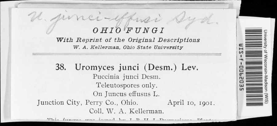 | Uromyces junci-effusi P.Syd. & Syd. | 1910 | W. A. Kellerman | |
 | Holwaya gigantea (Peck) E.J.Durand | 1891 | W. A. Kellerman | [Specific locality illegible.] |
 | Porella platyphylla (L.) Pfeiff. | 1891 | W. C. Werner | |
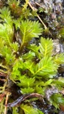 | Fissidens adianthoides Hedw. | 1892 | W. C. Werner | Fultonham |
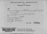 | Puccinia schedonnardi Kellerm. & Swingle | 1895 | W. A. Kellerman | |
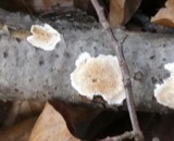 | Uromyces junci Tul. | 1901 | W. A. Kellerman | Junction City |
 | Natrix kirtlandii (Kennicott, 1856) | 1902 | Dilto, C. R. | Perry Co., Ohio |
 | Puccinia muhlenbergiae Arthur & Holw. | 1902 | W. A. Kellerman & J. McOwen Jr. | |
 | Endothia fluens (Sowerby) Shear & N.E.Stevens | 1912 | Nixon E. L. | Perry Co. |
 | Telmatodytes palustris (A.Wilson, 1810) | 1926 | Franks, R. W. (Roscoe W.) | Honey Creek, Buckeye Lake, Perry, Ohio, USA |
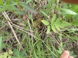 | Rana pipiens Schreber, 1782 | 1927 | Hine, J. S. (James Stewart) & Trautman, M. B. (Milton Bernard) | near Potersville: in edge of Co., Perry Co., Ohio |
 | Agelaius phoeniceus (Linnaeus, 1766) | 1928 | Trautman, M. B. (Milton Bernard) | Buckeye Lake, Perry, Ohio, USA |
All 188 specimens within 10 miles, at the Global Biodiversity Information Facility.
Mines and quarries near this place
3 within 5 milesRegional context, not property-specific evidence. The federal mineral resources record lists 3 workings within 5 miles of Wesley: 2 past producers, 1 producer. 1 still produces. What was taken out: Limestone, General, Stone, Crushed/Broken. Distance is straight-line from the map coordinates, so a quarry counted here may appear on a neighbouring settlement's page as well.
| Where | Site | Commodity | Status | Recorded |
|---|---|---|---|---|
| Chesterhill Stone Quarry | Stone, Crushed/Broken | Producer | ||
| Busse Quarry | Limestone, General | Past Producer | Sedimentary | |
| Chesterhill Stone Quarry | Limestone, General | Past Producer | Sedimentary |
Nearest settlements
The eight closest, with where each one stands in the county. Distances are straight-line, computed from the Geographic Names Information System coordinates.
| Map | Place | Distance | Sheets |
|---|---|---|---|
| Redfield | 2.7 miles | 12 | |
| Sego | 3.2 miles | 12 | |
| Clover Hill | 3.3 miles | 12 | |
| Saltillo | 3.6 miles | 12 | |
| Rehoboth | 4.1 miles | 14 | |
| Somerset | 4.3 miles | 11 | |
| Wellan (historical) | 5.3 miles | 11 | |
| Mount Perry | 5.4 miles | 12 |
Provenance
This settlement is recorded in the Geographic Names Information System as feature 1067172. The sheet list is computed by point-in-boundary test against the United States Geological Survey's historical topographic inventory. Both are works of the United States government and carry no copyright under 17 U.S.C. 105.
Wildfire. Short, Karen C. 2022. Spatial wildfire occurrence data for the United States, 1992-2020 [FPA_FOD_20221014]. 6th Edition. Fort Collins, CO: Forest Service Research Data Archive. https://doi.org/10.2737/RDS-2013-0009.6 Collected with United States Government funding and usable without additional permissions or fees.
Specimens. Global Biodiversity Information Facility (GBIF), https://www.gbif.org/. Only records licensed CC0 or CC BY are used. Records licensed CC BY-NC are excluded because this site carries advertising. Images are checked individually and any whose licence is non-commercial, no-derivatives or unreadable is refused.
Mines and quarries. USGS Mineral Resources Data System (MRDS) https://mrdata.usgs.gov/mrds/ A work of the United States government, no copyright under 17 U.S.C. 105.