 Block
Block
Sandusky, Ohio
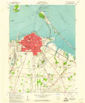
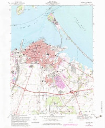
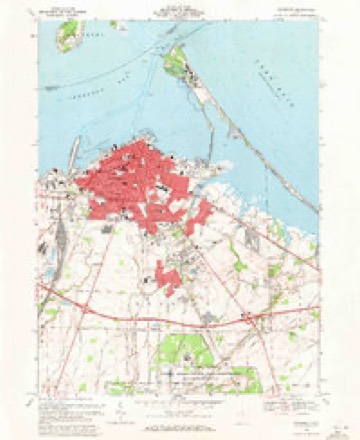
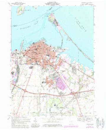
16 topographic sheets cover this place, the earliest surveyed in 1904 and the latest in 1986. It stands in Sandusky City. It lies in ZIP code area 44870. It stands on Mills Creek. The Survey maps it on the Sandusky quadrangle. 25,095 people lived here at the 2020 count. It stands 597 feet above sea level.
Research this city
This curated hub for Erie County, Ohio brings together the page's documented record links, visible map or image evidence where published, and routes to related local records.
What is documented here?
Use the page's provenance and linked records to distinguish the source material from the site's navigation and summaries.
How should I cite it?
Open the original record, preserve its repository and identifier, then use the citation tool for this page as a path back to the source.
Where should I go next?
Follow the county or state hub for related places and records, then use the guide for a source-aware research sequence.
Population over time
2 figuresSandusky fell from 25,793 to 25,095 between 2010 and 2020. These are the recorded population figures Wikidata holds for this place, reached through the Geographic Names Information System number this page is keyed on rather than by name, so they belong to this place and not to another of the same name. Most are census counts, but not all are: an early figure may be a founding or settlement estimate. The change column is computed, and is left blank where more than 20 years separate a figure from the one before it, because a gap that long is not a change between two counts.
| Year | People | Change |
|---|---|---|
| 2010 | 25,793 | |
| 2020 | 25,095 | -698 (-3%) |
Then and now
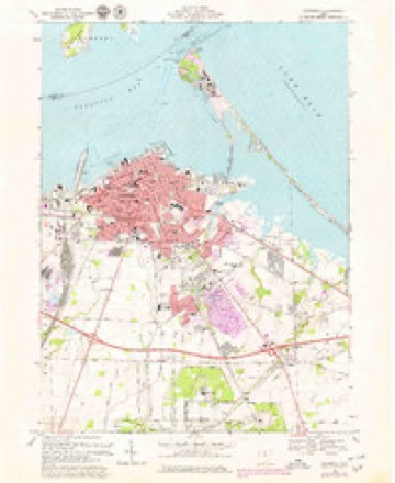
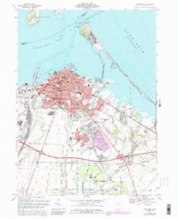
1904 to 1986The same ground, surveyed 82 years apart. Drag the handle to wipe between them. Both sheets are United States Geological Survey originals; neither has been altered.

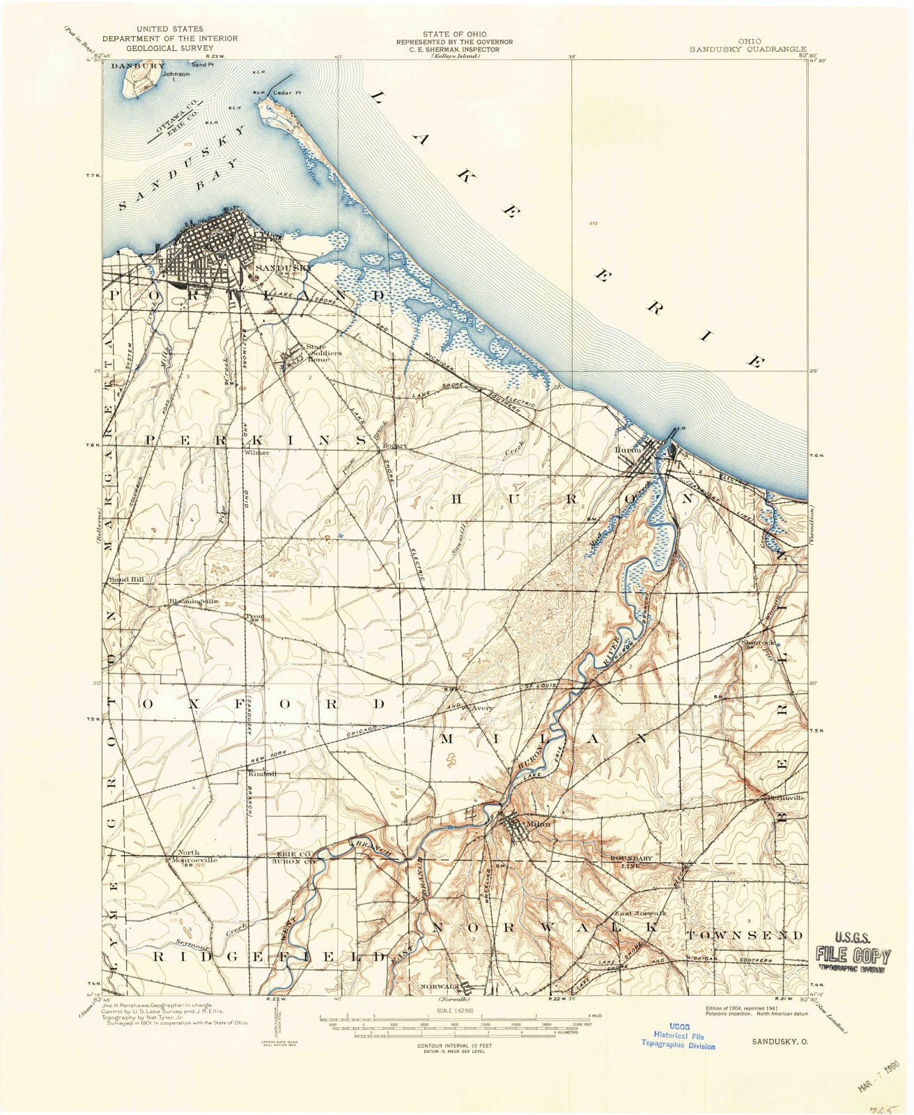
Topographic sheets covering this place
16 sheetsMatched by testing this settlement's coordinate against the published boundary of every sheet in the United States Geological Survey's historical collection. Each opens the scanned sheet at the Survey.
- 1904 USGS Sandusky quadrangle1:62500
- 1904 USGS Sandusky quadrangle1:62500
- 1904 USGS Sandusky quadrangle1:62500
- 1956 USGS Toledo quadrangle1:250000
- 1956 USGS Toledo quadrangle1:250000
- 1956 USGS Toledo quadrangle1:250000
- 1956 USGS Toledo quadrangle1:250000
- 1959 USGS Sandusky quadrangle1:24000
- 1961 USGS Toledo quadrangle1:250000
- 1969 USGS Sandusky quadrangle1:24000
- 1969 USGS Sandusky quadrangle1:24000
- 1969 USGS Sandusky quadrangle1:24000
- 1969 USGS Sandusky quadrangle1:24000
- 1969 USGS Sandusky quadrangle1:24000
- 1986 USGS Lorain quadrangle1:100000
- 1986 USGS Lorain quadrangle1:100000







Photographs
8 photographs, 1943Taken for the Office of War Information and the Farm Security Administration, who photographed the country between 1935 and 1944. Works of United States government photographers, with no known restriction on use. Each opens its catalogue record.
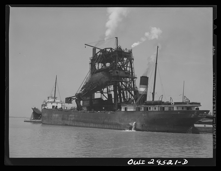
Delano, Jack, 1943. Library of Congress
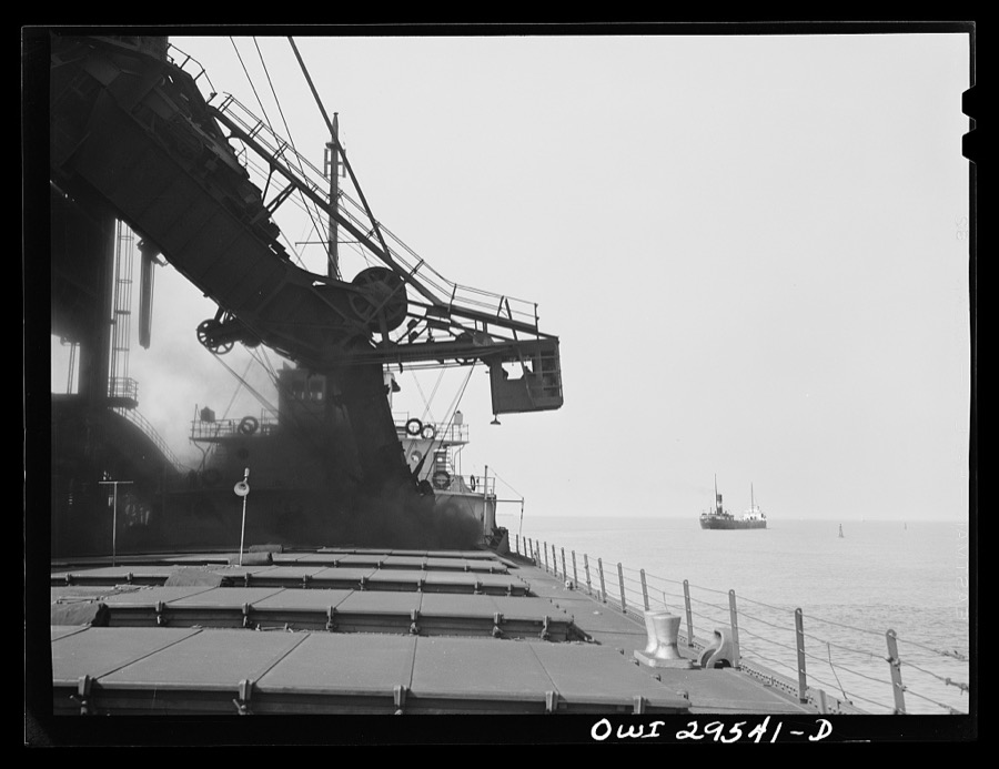
Delano, Jack, 1943. Library of Congress
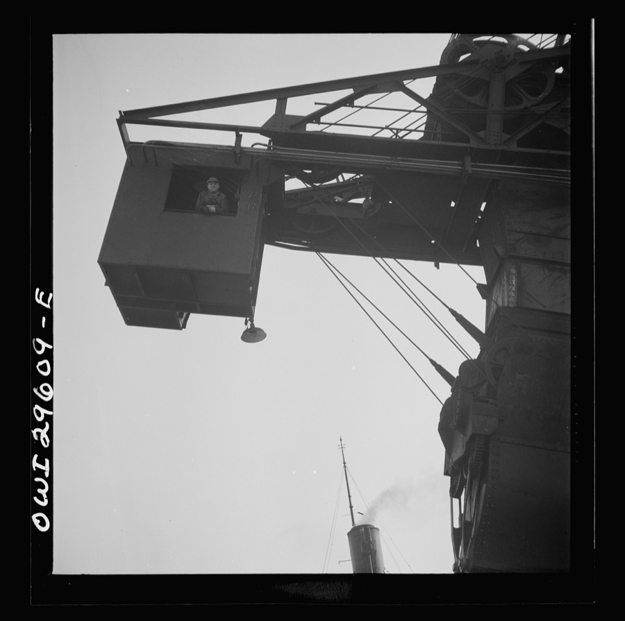
Delano, Jack, 1943. Library of Congress
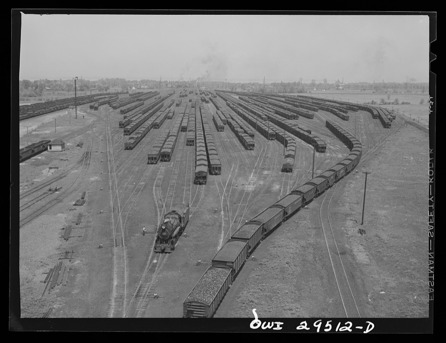
Delano, Jack, 1943. Library of Congress
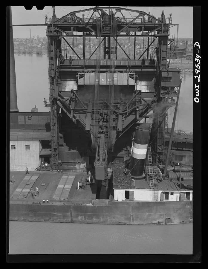
Delano, Jack, 1943. Library of Congress
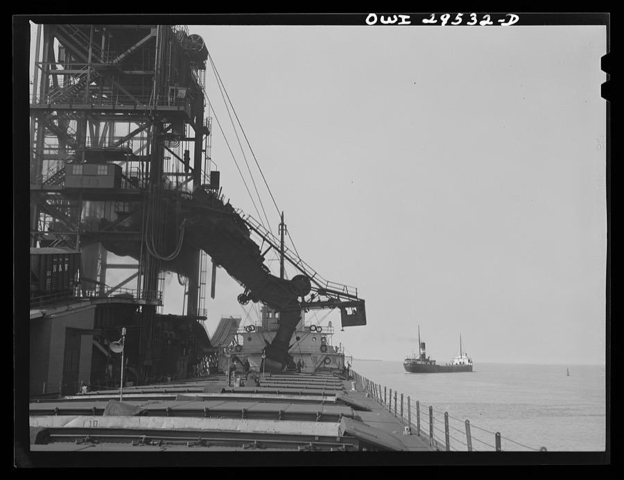
Delano, Jack, 1943. Library of Congress
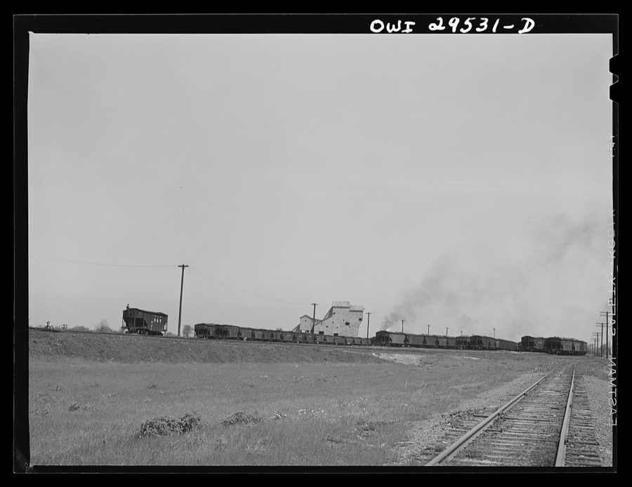
Delano, Jack, 1943. Library of Congress
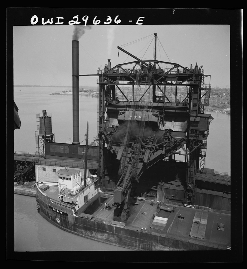
Delano, Jack, 1943. Library of Congress
Specimens collected nearby
12 of 3,423 shownMuseums hold 3,423 specimens collected within 10 miles of Sandusky between 1860 and 1975: 1,925 Animalia, 1,184 Plantae, 277 Fungi, 30 Chromista, 6 Protozoa, 1 Unrecorded. 12 distinct Species records are shown. Collected by A. D. Selby, A. Dowdy, A. F. Satterthwait and others. Each is a physical object with a catalogue number, and each entry opens the museum's record. This is what was collected and kept, not a survey of what lives here - nothing can be concluded from a species being absent.
| Image | Species | Year | Collected by | Where, as recorded |
|---|---|---|---|---|
 | Lampsilis radiata radiata (Gmelin, 1791) | 1898 | United States Fish Commission | Sandusky Bay |
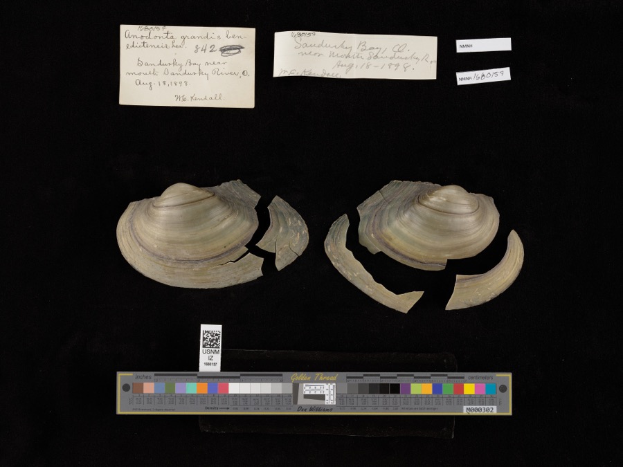 | Pyganodon grandis (Say, 1829) | 1898 | United States Fish Commission & W. Kendall | Sandusky Bay near mouth of Sandusky River |
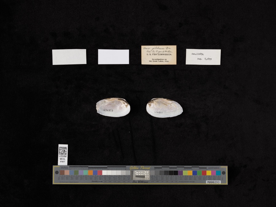 | Elliptio dilatatus (Rafinesque, 1820) | 1899 | not recorded | Lake Shore, Near East Harbor |
 | Perca Linnaeus, 1758 | 1860 | Smithsonian Institution | Sandusky |
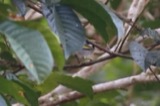 | Vermivora chrysoptera (Linnaeus, 1766) | 1868 | No Person (Birds) | Taylor |
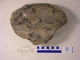 | Macropetalichthys rhapheidolabis Norwood & Owen, 1846 (fossil) | 1881 | D. S. Young | |
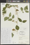 | Apios tuberosa Moench | 1885 | Wilkinson, E. | Cedar Point |
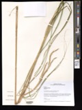 | Spartina pectinata Bosc ex Link | 1885 | Wilkinson, E. | Cedar Point |
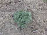 | Artemisia caudata Michx. | 1886 | Wilkinson, E. | Cedar Point |
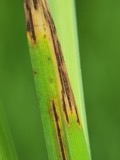 | Graminopassalora graminis (Fuckel) U.Braun, C.Nakash., Videira & Crous | 1886 | William Trelease; A. Commons | Madison |
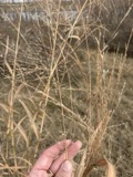 | Panicum virgatum L. | 1886 | Wilkinson, E. | Cedar Point |
 | Perca fluviatilis Linnaeus, 1758 | 1886 | Smithsonian Institution |
All 3,423 specimens within 10 miles, at the Global Biodiversity Information Facility.
Mines and quarries nearby
6 within 5 milesThe federal mineral resources record lists 6 workings within 5 miles of Sandusky: 4 past producers, 2 producers. 2 still produce. What was taken out: Stone, Crushed/Broken, Sand and Gravel, Construction, Limestone, General. Distance is straight-line from the map coordinates, so a quarry counted here may appear on a neighbouring settlement's page as well.
| Where | Site | Commodity | Status | Recorded |
|---|---|---|---|---|
| Wagner Quarry | Limestone, General | Past Producer | Sedimentary | |
| Febus Gravel Pit | Sand and Gravel, Construction | Past Producer | ||
| Huron Pit | Sand and Gravel, Construction | Past Producer | ||
| Erie Materials Inc. | Stone, Crushed/Broken | Producer | ||
| Geawe Quarry | Stone, Crushed/Broken | Past Producer | ||
| Soldiers Home Quarry | Stone, Crushed/Broken | Producer |
Storms nearby
60 of 81 shownThe National Weather Service names Sandusky in 81 storm reports between 1994 and 2023: 42 thunderstorm wind, 30 hail, 3 storm surge/tide, 2 flash flood. The reports record 3 injuries. Each account below is quoted exactly as the forecast office filed it, from the NOAA Storm Events Database, and each date opens the federal record of that event.
| When | Event | Place named | Harm | What the report says |
|---|---|---|---|---|
| August 2023 | Thunderstorm Wind | Sandusky | 2 hurt | Large tree downed onto house and injured two inhabitants in Sandusky. Multiple large tree limbs downed elsewhere in Sandusky. |
| July 2012 | Thunderstorm Wind | Sandusky | 1 hurt, $15,000 | Thunderstorm winds toppled a tree in Sandusky. The tree landed on a car injuring at least one person. |
| June 2016 | Thunderstorm Wind | Sandusky | $2,000,000 | A thunderstorm downburst caused widespread wind damage in the northeast portion of Sandusky. The damage swatg was a half mile wide and approximately 2.25 miles long. Numerous large trees and limbs were brought down across the city with some falling on buildings causing roof damage. Numerous large trees were also downed at Battery Park and the Marina. Approximately 30 power poles were blown over on the causeway to Cedar Point. Some power lines landed on cars trapping 15 to 20 people in their vehicles. Power outages due to the downed lines caused Cedar Point to be closed for the following day. At least one site measured a wind gust to 76 mph. Estimated wind speeds based on damage were 70 to 80 mph in downtown Sandusky and as high and greater than 80 mph on the causeway. |
| September 2005 | Thunderstorm Wind | Sandusky | $750,000 | Severe thunderstorm downburst winds caused substantial damage in Perkins Township, just south of the City of Sandusky, during the late evening hours of the 22nd. The damage was concentrated in an area just west of the Sandusky Mall. The thunderstorm winds were estimated to be around 70 mph. Forty to fifty homes in Perkins Township were damaged. A few homes had moderate damage but most of the damage was minor. A house nearly one hundred and fifty years old had its chimney knocked down from the severe winds. Another house had a roof collapse into the living room. A garage at another location collapsed after the roof was completely torn off. Other houses primarily had damage to their roofs. A church had two sections of it's roof torn off, and four windows blown out of it. Fifteen to twenty trees were completely uprooted in the area, and hundreds of other trees were knocked down or sustained major damage from large limbs broken off of them. Along with trees, many areas had power lines that were downed. |
| February 1998 | Storm Surge/Tide | Sandusky | $500,000 | no account filed |
| May 2011 | Hail | Sandusky | $400,000 | A swath of large hail fell across Erie County. Golf ball to hen egg size hail fell from the Sandusky area east across the Milan area to near Birmingham. Hundreds of vehicles and many homes were damaged by the hail. |
| May 2011 | Hail | Sandusky | $300,000 | A line of severe thunderstorms produced a swath of large hail ranging in size from ping pong balls to golf balls. Numerous vehicles and homes were damaged as a result of the damaging hail. |
| May 2010 | Hail | Sandusky | $250,000 | Quarter to hen egg sized hail was observed. Many vehicles were damaged by the hail. |
| July 2018 | Thunderstorm Wind | Sandusky | $150,000 | Thunderstorm downburst winds estimated to be at least 60 mph downed many trees in Sandusky. Damage was also reported in the downtown area. One building lost most of it's roof. A previously fired damaged building in the area partially collapsed. Scattered power outages were also reported. |
| March 1998 | Storm Surge/Tide | Sandusky | $100,000 | no account filed |
| February 1998 | Storm Surge/Tide | Sandusky | $75,000 | no account filed |
| June 2012 | Thunderstorm Wind | Sandusky | $50,000 | Thunderstorm winds downed a few trees and utility poles. |
| July 2003 | Thunderstorm Wind | Sandusky | $50,000 | Thunderstorm winds downed several trees. A home and building were damaged by fallen trees. A van was crushed by a tree. |
| August 2000 | Thunderstorm Wind | Sandusky | $50,000 | Thunderstorm winds downed several trees. Two cars were crushed by trees. |
| September 1996 | Flash Flood | Sandusky | $50,000 | no account filed |
| August 2000 | Thunderstorm Wind | Sandusky | $35,000 | Thunderstorm winds knocked downed several trees. Two of the trees damaged cars. |
| July 2000 | Thunderstorm Wind | Sandusky | $35,000 | A 68 mph thunderstorm wind gust was measured in Sandusky. Many trees were downed and two homes were damaged by fallen trees. Two other trees were knocked down five miles south of Sandusky. |
| June 2007 | Thunderstorm Wind | Sandusky | $30,000 | Numerous trees and power lines were reported down. |
| May 2015 | Thunderstorm Wind | Sandusky | $25,000 | Thunderstorm wind gusts downed several trees and power lines in Sandusky. |
| September 2007 | Thunderstorm Wind | Sandusky | $25,000 | Numerous large limbs, several trees and power lines were reported down around Sandusky. |
| June 2009 | Hail | Sandusky | $20,000 | Quarter size hail was observed. |
| July 1996 | Thunderstorm Wind | Sandusky | $20,000 | no account filed |
| July 2011 | Thunderstorm Wind | Sandusky | $15,000 | Thunderstorm winds downed a few trees. |
| June 2004 | Thunderstorm Wind | Sandusky | $15,000 | Thunderstorm winds downed several trees and damaged a roof. |
| August 2000 | Thunderstorm Wind | Sandusky | $15,000 | Thunderstorm winds downed many trees in Sandusky, Berlin Heights and Vermillion. A billboard sign was also toppled near Sandusky. |
| June 2010 | Thunderstorm Wind | Sandusky | $12,000 | Thunderstorm winds downed a tree and a power pole. |
| August 1998 | Lightning | Sandusky | $12,000 | Lightning struck the roof of a house, and the ensuing fire caused considerable damage. |
| July 2006 | Thunderstorm Wind | Sandusky | $10,000 | Numerous trees were reported down from Sandusky to Huron. |
| July 2002 | Thunderstorm Wind | Sandusky | $10,000 | Thunderstorm winds downed several trees. |
| June 2002 | Thunderstorm Wind | Sandusky | $10,000 | Thunderstorm winds toppled two power poles. |
| July 1998 | Thunderstorm Wind | Sandusky | $10,000 | Numerous trees were downed south of Sandusky. |
| June 1995 | Thunderstorm Wind | Sandusky | $10,000 | Trees were downed. Three city vehicles were damaged by falling trees. |
| July 2008 | Thunderstorm Wind | Sandusky | $7,000 | Thunderstorm winds downed several trees. |
| June 2010 | Thunderstorm Wind | Sandusky | $5,000 | Thunderstorm winds downed several tree limbs in Perkins Township. |
| June 2007 | Thunderstorm Wind | Sandusky | $5,000 | Thunderstorm winds downed several large tree limbs. |
| June 2006 | Thunderstorm Wind | Sandusky | $5,000 | Numerous large limbs were reported down. |
| July 1997 | Thunderstorm Wind | Sandusky | $5,000 | no account filed |
| September 2011 | Flood | Sandusky | $3,000 | Lake enhanced rainfall over Erie County produced torrential rainfall with rates around two inches per hour. As much as 3 to 5 inches of storm total rain fell over the city of Sandusky. Several underpasses filled with water and many roads were closed due to high water. |
| August 2019 | Thunderstorm Wind | Sandusky | $2,000 | Several power lines were knocked down on to utility poles. |
| July 2012 | Thunderstorm Wind | Sandusky | $2,000 | Thunderstorm winds downed a couple of trees. |
| June 2009 | Thunderstorm Wind | Sandusky | $2,000 | Several large limbs were reported down. |
| July 2002 | Thunderstorm Wind | Sandusky | $2,000 | Thunderstorm winds downed two large tree limbs. |
| June 2008 | Thunderstorm Wind | Sandusky | $1,000 | Thunderstorm winds downed one tree. |
| August 2008 | Thunderstorm Wind | Sandusky | $1,000 | Several large limbs were reported down. |
| June 2006 | Thunderstorm Wind | Sandusky | $1,000 | A few large limbs were reported down. |
| June 2023 | Thunderstorm Wind | Sandusky | - | Several power poles snapped along U.S. Route 6, about two-miles WSW of Sandusky. |
| May 2020 | Thunderstorm Wind | Sandusky | - | Two trees down two miles SE of Sandusky. |
| May 2020 | Thunderstorm Wind | Sandusky | - | Tree down on Wilson Street in Sandusky. |
| May 2019 | Thunderstorm Wind | Sandusky | - | Numerous trees were blown down across roadways. |
| July 2017 | Hail | Sandusky | - | Penny sized hail was observed. |
| July 2017 | Hail | Sandusky | - | Quarter sized hail was observed. |
| July 2014 | Hail | Sandusky | - | Nickel to quarter sized hail was observed. |
| September 2012 | Hail | Sandusky | - | Penny sized hail was observed. |
| July 2012 | Hail | Sandusky | - | Quarter sized hail was observed. |
| July 2012 | Hail | Sandusky | - | Penny sized hail was observed. |
| June 2010 | Hail | Sandusky | - | Penny sized hail was observed. |
| June 2010 | Hail | Sandusky | - | Quarter sized hail was observed. |
| June 2010 | Hail | Sandusky | - | Quarter sized hail was observed. |
| May 2010 | Hail | Sandusky | - | Quarter sized hail was observed at the NASA Plumb Rock facility. |
| August 2009 | Hail | Sandusky | - | Penny size hail was observed. |
Nearest settlements
The eight closest, with where each one stands in the county. Distances are straight-line, computed from the Geographic Names Information System coordinates.
| Map | Place | Distance | Sheets |
|---|---|---|---|
| Holiday Estates | 1.2 miles | 16 | |
| MacArthur Park | 1.2 miles | 16 | |
| Ranch Wood | 2.1 miles | 16 | |
| Lions Park | 2.1 miles | 16 | |
| Cedar Point | 2.5 miles | 16 | |
| Baywater Estates | 2.6 miles | 16 | |
| Westview Estates | 2.7 miles | 16 | |
| Lincolnshire | 2.8 miles | 16 |
Elsewhere
Matched on this settlement's Geographic Names Information System number rather than its name, so it cannot be a different place of the same name in another state.
| Wikipedia article on Sandusky | An encyclopaedic summary. Its text is share-alike, so it is linked here rather than copied. |
| Wikidata item Q608207 | The structured record the population and elevation above come from. Public domain (CC0). |
Provenance
This settlement is recorded in the Geographic Names Information System as feature 1076832. The sheet list is computed by point-in-boundary test against the United States Geological Survey's historical topographic inventory. Both are works of the United States government and carry no copyright under 17 U.S.C. 105.
Specimens. Global Biodiversity Information Facility (GBIF), https://www.gbif.org/. Only records licensed CC0 or CC BY are used. Records licensed CC BY-NC are excluded because this site carries advertising. Images are checked individually and any whose licence is non-commercial, no-derivatives or unreadable is refused.
Mines and quarries. USGS Mineral Resources Data System (MRDS) https://mrdata.usgs.gov/mrds/ A work of the United States government, no copyright under 17 U.S.C. 105.
Storms. NOAA National Centers for Environmental Information, Storm Events Database https://www.ncei.noaa.gov/stormevents/ A work of the United States government, no copyright under 17 U.S.C. 105. Narratives are quoted verbatim from the National Weather Service report and are not edited or summarised.