 Block
Block
Shandon, Ohio
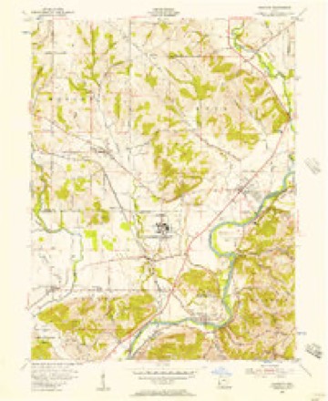
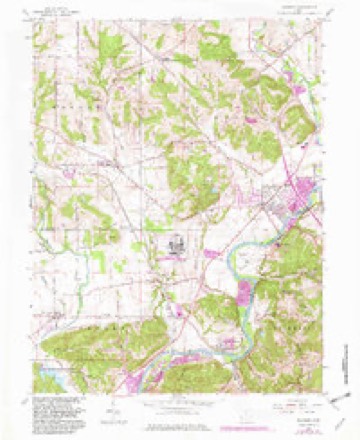
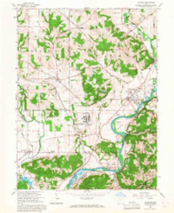
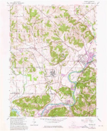
14 topographic sheets cover this place, the earliest surveyed in 1915 and the latest in 1986. It stands in Morgan Township. It lies in ZIP code area 45013. The Survey maps it on the Shandon quadrangle. It stands 600 feet above sea level.
Then and now
1915 to 1986The same ground, surveyed 71 years apart. Drag the handle to wipe between them. Both sheets are United States Geological Survey originals; neither has been altered.

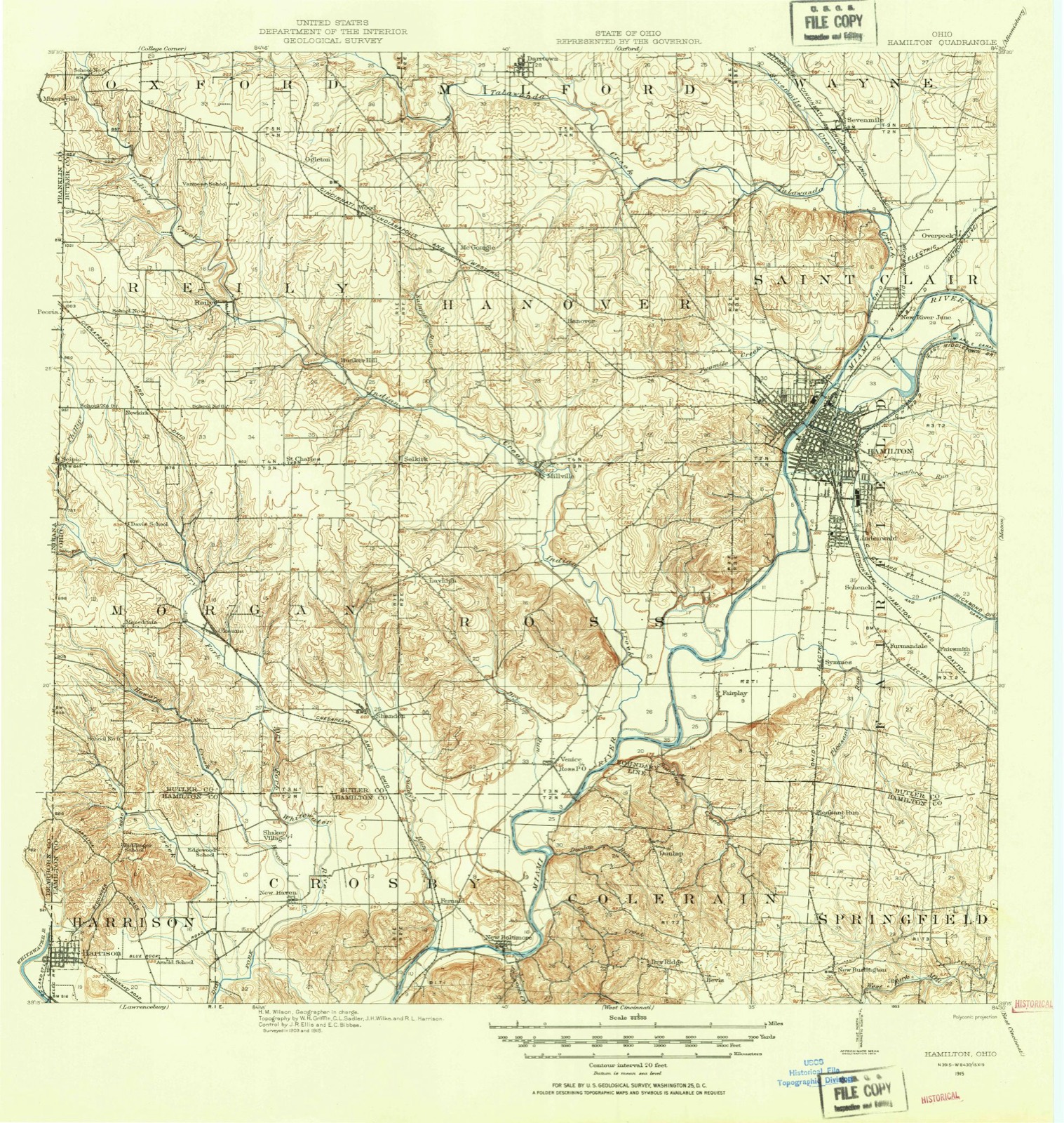
Topographic sheets covering this place
14 sheetsMatched by testing this settlement's coordinate against the published boundary of every sheet in the United States Geological Survey's historical collection. Each opens the scanned sheet at the Survey.
- 1915 USGS Hamilton quadrangle1:62500
- 1915 USGS Hamilton quadrangle1:62500
- 1917 USGS Hamilton quadrangle1:62500
- 1953 USGS Cincinnati quadrangle1:250000
- 1953 USGS Cincinnati quadrangle1:250000
- 1953 USGS Cincinnati quadrangle1:250000
- 1955 USGS Shandon quadrangle1:24000
- 1957 USGS Cincinnati quadrangle1:250000
- 1965 USGS Shandon quadrangle1:24000
- 1965 USGS Shandon quadrangle1:24000
- 1965 USGS Shandon quadrangle1:24000
- 1986 USGS Cincinnati quadrangle1:100000
- 1986 USGS Cincinnati quadrangle1:100000
- 1986 USGS Cincinnati quadrangle1:100000







In the county-history sources
16,590 words on this townshipA History and Biographical Cyclopaedia of Butler County, Ohio, with Illustrations and Sketches of Its Representative Men and Pioneers, published 1882; A History and Biographical Cyclopædia of Butler County, Ohio : with Illustrations and Sketches of Its Representative Men and Pioneers, published 1882 names this settlement in its chapter on Morgan Township. These are the passages that mention it, exactly as the scans read.
August 5, 1811, at a session of the same commission- j ers, on petition of inhabitants of Milford Township, it J was "ordered, that so much of the township of Milford j as lies within the following boundaries, to wit : Beginning j at the northwest corner of the county of Butler; thence j south with the western boundary line of the said county j of Butler to the southwest corner of township numbered ; five in the first range east of the meridian line drawn ! from the mouth of the Great Miami River ; thence east > with the southern boundary line of the same township to j the southeast corner thereof; thence north with the east- 1 era boundary line thereof to the north boundary line of | the said county of Butler ; thence west with the same to * the place of beginning, - shall compose -a township which j shall be called and known by the name of Oxford. Town- | ship," Election to be held at the house of Sylvester Lyons on the 24th day of August, 1811, for the election of township officers. 1^34068
Passage source: A History and Biographical Cyclopaedia of Butler County, Ohio, with Illustrations and Sketches of Its Representative Men and Pioneers, published 1882.
It would be difficult at this late day to tell which of these highways was the most prominent, but during the Fall and Winter seasons the trace road was unmistakably used much more by hog-drivers than any other thoroughfare in the township. There is now a free turnpike leading from Harrison, in Hamilton County, to the Scipio and Millville pike, which for most of the way follows the section line one mile west of the Indiana line. This road caused much litigation, and was the cause of sending a forger to the penitentiary for ten years. There is another well used from New London to Millville. A good pike - a toll road - runs from Scipio to Millville. Many of the roads are very good.
Passage source: A History and Biographical Cyclopædia of Butler County, Ohio : with Illustrations and Sketches of Its Representative Men and Pioneers, published 1882.
The Scipio Odd Fellows' Lodge was chartered in September, 1875, with the following members: F. Oliver, A. B. Hodson, Paul Applegate, Marion Smith, Marion Davis, John Wynn, W. R. Jenkins, W. R. Hodson, and John Mecum. This lodge is an outgrowth of neighboring lodges. About $500 of the money which built the hall was given by similar institutions. A. B. Hodson advanced the funds and acted as contractor, the members paying him for the use of the hall, which is over one of the old stores. There are now about forty members ; officers are as follows: Paul Applegate, N. G.; EY Oliver; Vi. Gi 7Ay B: Hodson, Treas., W. R. Jenkins, See.
Passage source: A History and Biographical Cyclopædia of Butler County, Ohio : with Illustrations and Sketches of Its Representative Men and Pioneers, published 1882.
Machine-read from a century-old scan, so expect the errors a machine makes: misspelled names, dropped words, stray characters.
Read the whole chapter on Morgan Township - it names this place 2 more 2 times.
Specimens collected near this place
12 of 133 shownRegional context, not property-specific evidence. Museums hold 133 specimens collected within 10 miles of Shandon between 1883 and 1975: 97 Animalia, 28 Plantae, 6 Fungi, 2 Protozoa. 12 distinct Species records are shown. Collected by A. R. Gaufin, A.R. Gaufin, H.H. Ross, Arden R. Gaufin and others. Each is a physical object with a catalogue number, and each entry opens the museum's record. This is what was collected and kept, not a survey of what lives here - nothing can be concluded from a species being absent.
| Image | Species | Year | Collected by | Where, as recorded |
|---|---|---|---|---|
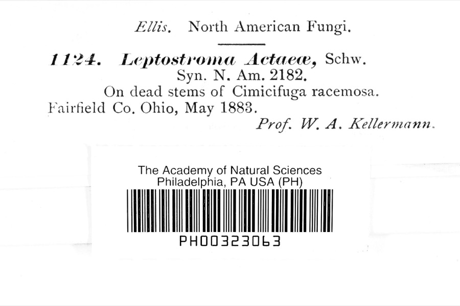 | Leptostromataceae | 1883 | Prof. W. A. Kellerman | |
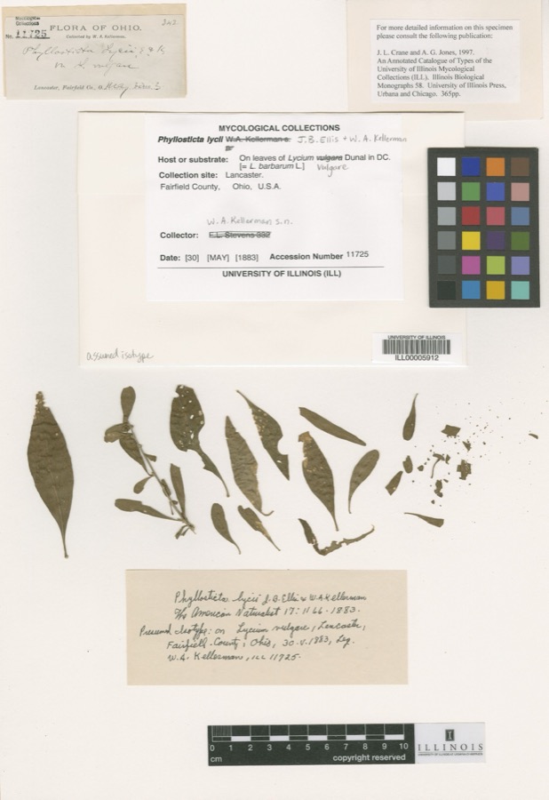 | Phyllosticta Pers., 1818 | 1883 | W. A. Kellerman | Lancaster. |
 | Phyllosticta decidua Ellis & Kellerm. | 1883 | W. A. Kellerman | Fairfield |
 | Botaurus Stephens, 1819 | 1891 | J. S. Ligon | Ross Lake |
 | Mermis Dujardin, 1842 | 1896 | W. Brown | Hamilton |
 | Neoharmonia venusta ampla (Mulsant, 1850) | 1898 | not recorded | |
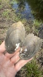 | Lampsilis radiata (Gmelin, 1791) | 1901 | Sterki, Victor | Hamilton |
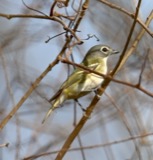 | Vireo solitarius solitarius (A.Wilson, 1810) | 1902 | not recorded | Big Miami |
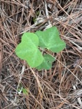 | Passiflora lutea L. | 1903 | E. Lucy Braun | mesophytic woods |
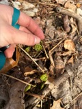 | Athyrium angustum (Willd.) C.Presl | 1909 | O. E. Jennings | N Fairfield to Norwalk. |
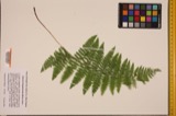 | Athyrium thelypterioides (Michaux) Desvaux | 1909 | O. E. Jennings | N Fairfield to Norwalk. |
| Equisetum arvense L. | 1916 | Simon, M. | Silver Hook - See "ABC Pathfinder New England Railway Publishing Company, 1899" p. 622. |
All 133 specimens within 10 miles, at the Global Biodiversity Information Facility.
Mines and quarries near this place
7 within 5 milesRegional context, not property-specific evidence. The federal mineral resources record lists 7 workings within 5 miles of Shandon: 4 past producers, 3 producers. 3 still produce. What was taken out: Sand and Gravel, Construction. Distance is straight-line from the map coordinates, so a quarry counted here may appear on a neighbouring settlement's page as well.
| Where | Site | Commodity | Status | Recorded |
|---|---|---|---|---|
| F and C Pit | Sand and Gravel, Construction | Past Producer | Sedimentary | |
| F and C Pit | Sand and Gravel, Construction | Producer | ||
| Indian Creek Pit | Sand and Gravel, Construction | Past Producer | Sedimentary | |
| Indian Creek Sand & Gravel Pit | Sand and Gravel, Construction | Producer | ||
| Ross Plant | Sand and Gravel, Construction | Producer | ||
| Ross Plant Number 15 and Pit | Sand and Gravel, Construction | Past Producer | Sedimentary | |
| Watson Pit | Sand and Gravel, Construction | Past Producer | Sedimentary |
Storms near this place
1 since 2000Regional context, not property-specific evidence. The National Weather Service names Shandon in 1 storm report between 2000 and 2000: 1 thunderstorm wind. No death or injury is recorded in these reports. Each account below is quoted exactly as the forecast office filed it, from the NOAA Storm Events Database, and each date opens the federal record of that event.
| When | Event | Place named | Harm | What the report says |
|---|---|---|---|---|
| June 2000 | Thunderstorm Wind | Shandon | $3,000 | Several trees were knocked down. |
Nearest settlements
The eight closest, with where each one stands in the county. Distances are straight-line, computed from the Geographic Names Information System coordinates.
Elsewhere
Matched on this settlement's Geographic Names Information System number rather than its name, so it cannot be a different place of the same name in another state.
| Wikipedia article on Shandon | An encyclopaedic summary. Its text is share-alike, so it is linked here rather than copied. |
| Wikidata item Q7487914 | The structured record the population and elevation above come from. Public domain (CC0). |
Provenance
This settlement is recorded in the Geographic Names Information System as feature 1079590. The sheet list is computed by point-in-boundary test against the United States Geological Survey's historical topographic inventory. Both are works of the United States government and carry no copyright under 17 U.S.C. 105.
Specimens. Global Biodiversity Information Facility (GBIF), https://www.gbif.org/. Only records licensed CC0 or CC BY are used. Records licensed CC BY-NC are excluded because this site carries advertising. Images are checked individually and any whose licence is non-commercial, no-derivatives or unreadable is refused.
Mines and quarries. USGS Mineral Resources Data System (MRDS) https://mrdata.usgs.gov/mrds/ A work of the United States government, no copyright under 17 U.S.C. 105.
Storms. NOAA National Centers for Environmental Information, Storm Events Database https://www.ncei.noaa.gov/stormevents/ A work of the United States government, no copyright under 17 U.S.C. 105. Narratives are quoted verbatim from the National Weather Service report and are not edited or summarised.