Listed on the National Register of Historic Places in
1975. A historic map-sheet match is not published yet. The record needs a coordinate-quality review before it can be joined to a sheet boundary.
From the record
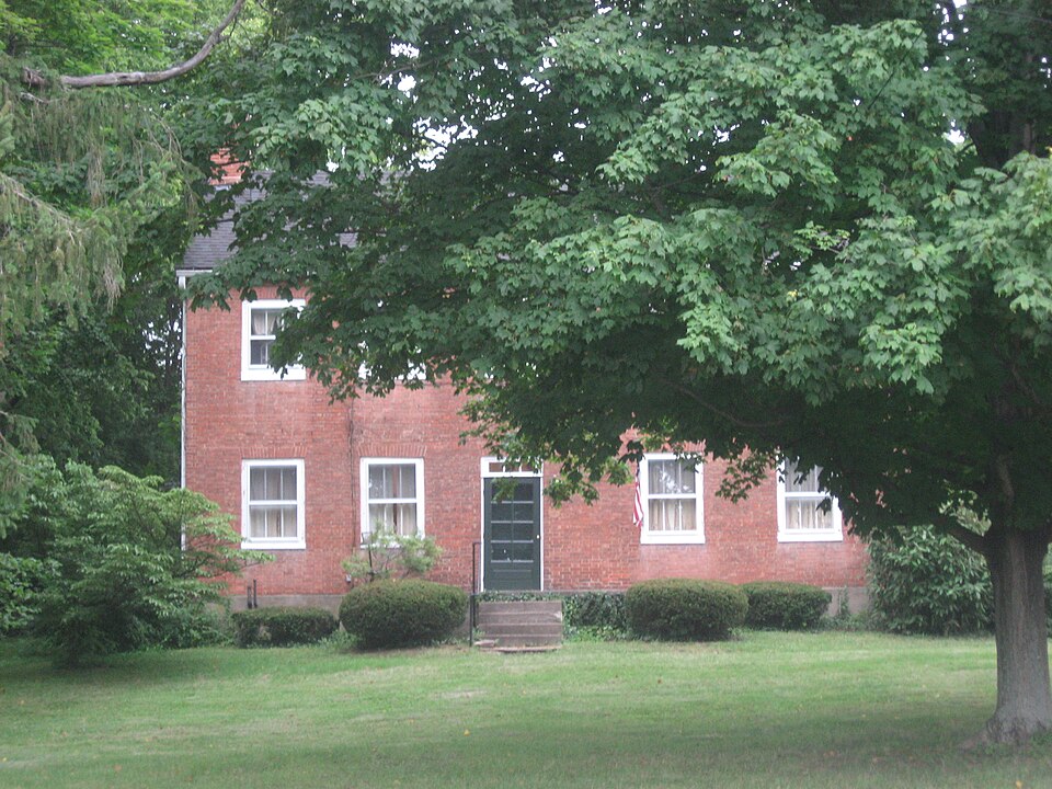
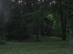
“John Vaughan House is a historic house near Shandon, Ohio.”
Wikipedia article John Vaughan House, CC BY-SA 4.0.
one of 63 National Register listings in Butler County · listed in 1975 · category: Building · one of 3 National Historic Landmarks in Butler County.
National Register reference number.75001340- the number the National Park Service assigned this property when it was listed, and the key its nomination file is catalogued under at the National Archives.
Morgan township was originally a part of Ross township, and was created March 4, 18 1 1. It lies in the southwest corner of the county and borders on the Indiana line. The surface of the township is partly undulating, but the greater portion of it is rough. Along the principal streams bottoms extend on either side from one-quarter to one mile in width. The uplands are not so productive as the valleys, but the soil is generally favorable to agricultural pursuits. In the region of Shandon is an extensive valley that is famous for its fertility and productiveness. Dry Fork, of Whitewater, Howard's creek and Paddy's run are the principal water-courses. The former is the longest as well as the largest stream, and has for its tributaries on the east Buck run and Kiatta creek.
Bebb, was the first settler to enter land in Morgan township. It was the half of section 27. The first store keeper was William D. Jones, a Welshman, who conducted a bartering stand for a time on Paddy's run, near the present site of Shandon. James Nicholas was the first blacksmith, as well as the first miller in the neighborhood of Paddy's run.
Regional context, not property-specific
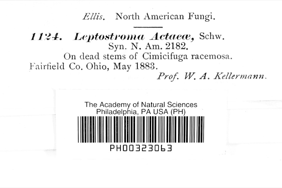
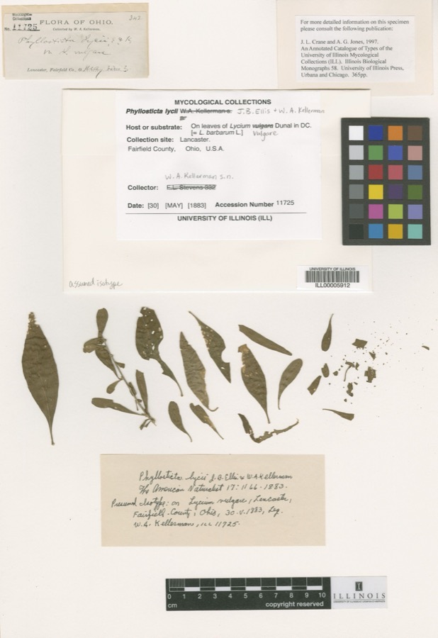
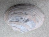
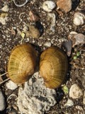
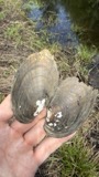
evidence. Museums hold 145 specimens
collected within 10 miles of Vaughan, John, House between 1883 and
1975: 109 Animalia, 28 Plantae, 6 Fungi, 2 Protozoa. 12 distinct Species records are shown.
Collected by A. R. Gaufin, A.R. Gaufin, H.H. Ross, Arden R. Gaufin and others. Each is a
physical object with a catalogue
number, and each entry opens the museum's record. This is what was
collected and kept, not a survey of what lives here - nothing can be
concluded from a species being absent.
Regional context, not property-specific
evidence. The federal mineral resources record lists
8 workings within 5 miles of Vaughan, John, House: 4 past producers, 4 producers.
4 still produce. What was taken out: Sand and Gravel, Construction. Distance is straight-line from the
map coordinates, so a quarry counted here may appear on a neighbouring
settlement's page as well.
Regional context, not property-specific
evidence. The National Weather Service names
Shandon, the town this property stands in, in 1 storm report between 2000 and 2000: 1 thunderstorm wind.
No death or injury is recorded in these reports. Each account below is quoted exactly as the forecast office
filed it, from the NOAA Storm Events Database, and each date
opens the federal record of that event.
No historic map-sheet match is published
for this property yet. That does not mean no map exists. This record needs
a coordinate-quality review before it can be joined to a sheet boundary.
Browse the county's mapped places while that work is
pending.
From the nomination file
2,429 words on record
When this property was proposed for the
National Register, someone wrote the case for it: what the building is,
and why it matters. That document is a federal record in the public domain.
It is quoted below word for word, never summarised. The text was read off the scanned case file by machine, so the
occasional stray character is the recogniser's and the 1970s
typewriter's.
Description of the property
transom above, is in the center bay, anduthis bayyis slightly off cen- rails, window reveals, etc. have been copied from the earlier portion the top of the stairs, now used as a bathroom, and a single large room CONDITION Interior:The interior of the house still contains the original black Twentieth Century shed roof addition flank an entrance door, also in There is an original chair rail in this room as in all the other rooms red brick house with gable roof.To the rear there is a one story tion to the original smoke house. are Queen's closer headers on this facade. first level on each side of the entry.The windows have gauged brick east room next to the cupboard there is a narrow winding staircase (Check One) chimneys on each of these facades, there is a small four light window.
which leads to the attic. of the house.To the rear of both first floor rooms and the hall are Both doors are paneled "Christian door" types.The door to the right On the east facade the initials IV, set in black centered of the house. - Ruins - Moved the original mantelpiece and open cupboard on the right side of the Exterior: This is a two and a half story Flemish and American bond The east and west facades of the original house, laid in American bond, in the gable.
teacher from New England.In 1828 he married Mary Wardell Brightwell the community.Until then the church often met in Vaughan's barn. In the winter of 1818-19,Vaughan shared his house with twenty Welsh About 1807 he married Ruth Crosby Comstock (1766-1825),a school County.
The house was built between 1814-16by John Vaughan Martha Ann Vaughan daughter of William and Mary itarian Education Edward and Margaret Bebb, in 1824.William Vaughan was the first was replaced with the construction of the brick house at the present settlers who had not yet built homes.Vaughan's house served as a location.The bricks were fired on the site by James Shaw of Washing ton County, Ohio.Shaw also acted as foreman of the brickyard and County about 1801,shortly after another group of Welshmen including Was the first brick house near Shandon,Ohio.It has several unusual among the first group of Welsh settlers to settle Shandon in 1795. settled by many Welshmen, and Vaughan paid passage for many of them.
Vaughan, married Abner Francis in 1852.He was the grand-
Quoted from the National Register nomination
for reference 75001340, 15 pages, held by the National Archives in Record
Group 79. See the
catalogue record.
Listed places nearby
6 within 8 miles
Other National Register properties close
enough to walk or drive between, ordered by distance from this one. Both
positions come from the same geocoding pass that matched these properties
to their map sheets.
Listing record. National Park Service National Register of Historic Places, listed-properties dataset, current to 2026-05-22.
Map join. Address geocoded through the United States Census geocoder, then tested against the published boundary of every sheet in the USGS Historical Topographic Map Collection.
How this page is made. Listing fields come from federal records; map-sheet coverage is a labelled coordinate-to-boundary calculation, not a source-field claim.
Specimens. Global Biodiversity Information Facility (GBIF), https://www.gbif.org/. Only records licensed CC0 or CC BY are used. Records licensed CC BY-NC are excluded because this site carries advertising. Images are checked individually and any whose licence is non-commercial, no-derivatives or unreadable is refused.
Mines and quarries. USGS Mineral Resources Data System (MRDS) https://mrdata.usgs.gov/mrds/ A work of the United States government, no copyright under 17 U.S.C. 105.
Storms. NOAA National Centers for Environmental Information, Storm Events Database https://www.ncei.noaa.gov/stormevents/ A work of the United States government, no copyright under 17 U.S.C. 105. Narratives are quoted verbatim from the National Weather Service report and are not edited or summarised.
 Block
Block