 Block
Block
Shirley, Massachusetts
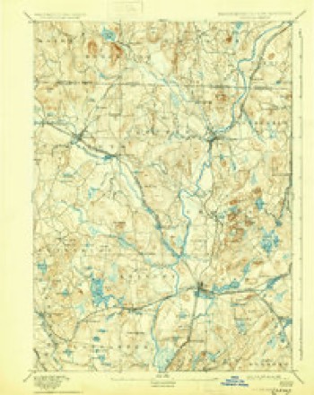
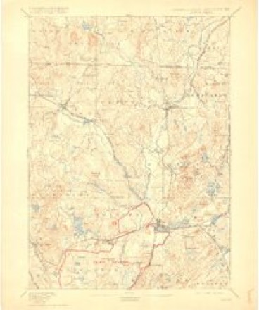
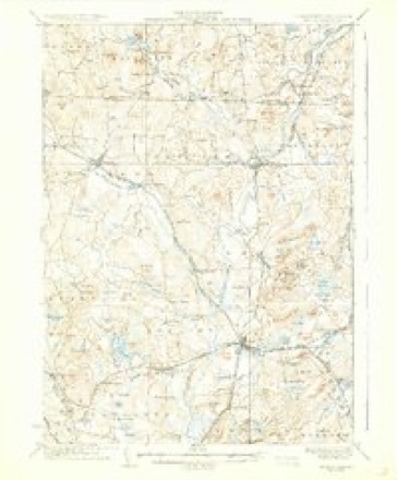
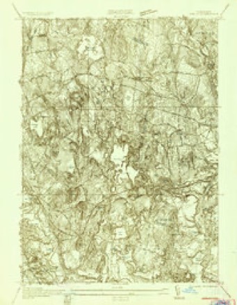
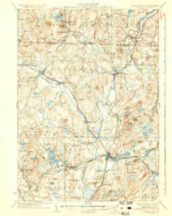
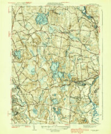
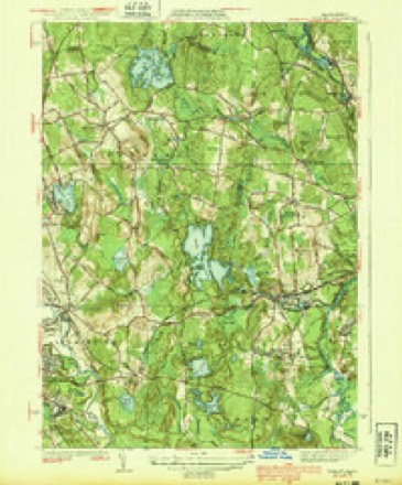
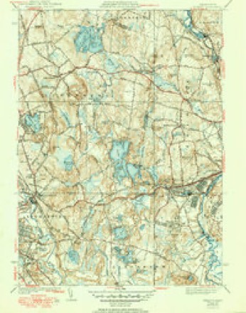
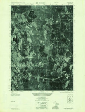
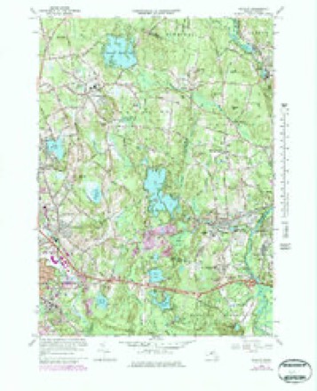
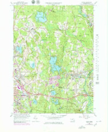
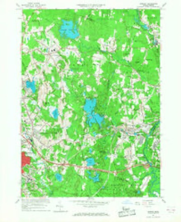
44 topographic sheets cover this place, the earliest surveyed in 1893 and the latest in 1988. It stands in Shirley town. It lies in ZIP code area 01464. It stands on The Major Hills. The Survey maps it on the Shirley quadrangle. 1,611 people lived here at the 2020 count. It stands 285 feet above sea level.
Population over time
2 figuresShirley grew from 1,441 to 1,611 between 2010 and 2020. These are the recorded population figures Wikidata holds for this place, reached through the Geographic Names Information System number this page is keyed on rather than by name, so they belong to this place and not to another of the same name. Most are census counts, but not all are: an early figure may be a founding or settlement estimate. The change column is computed, and is left blank where more than 20 years separate a figure from the one before it, because a gap that long is not a change between two counts.
| Year | People | Change |
|---|---|---|
| 2010 | 1,441 | |
| 2020 | 1,611 | +170 (+12%) |
Then and now
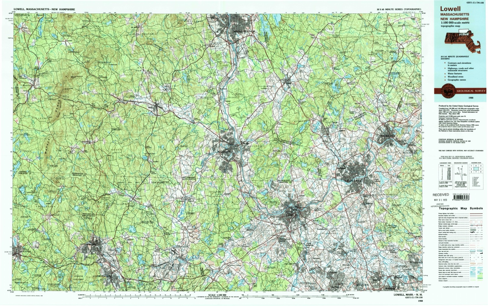
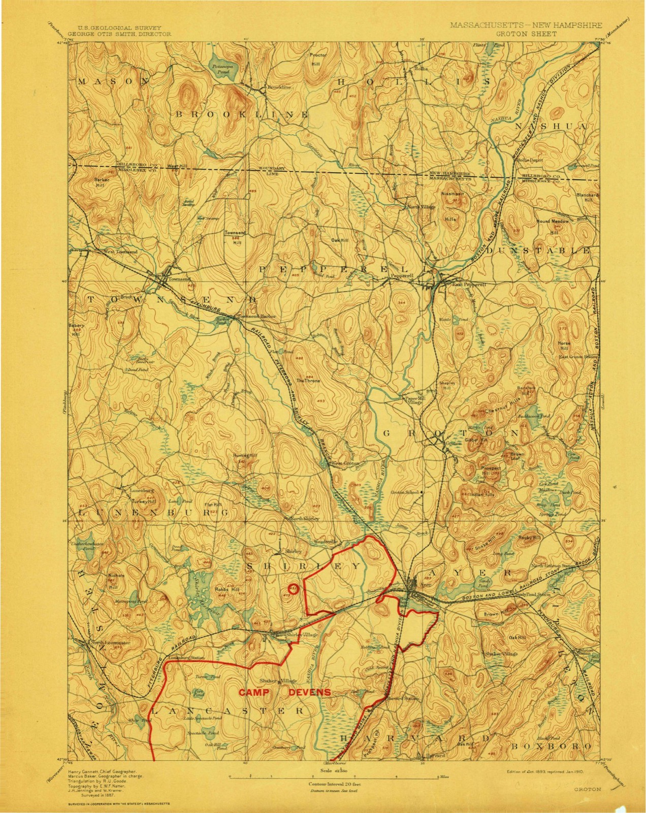
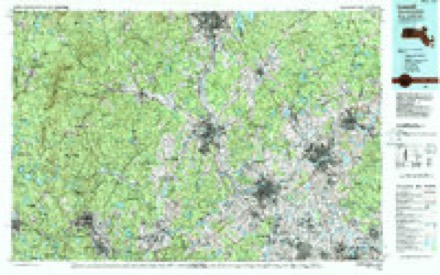
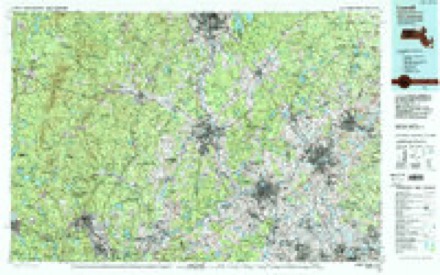
1893 to 1988The same ground, surveyed 95 years apart. Drag the handle to wipe between them. Both sheets are United States Geological Survey originals; neither has been altered.
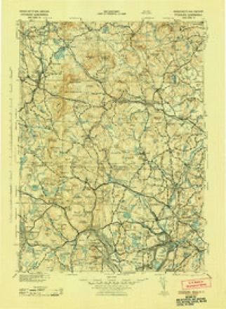
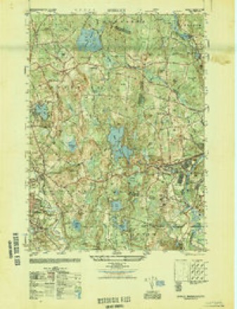
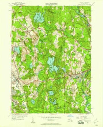
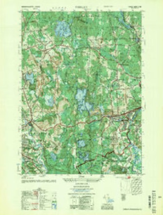
Topographic sheets covering this place
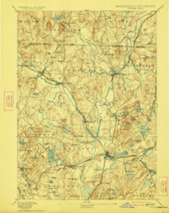
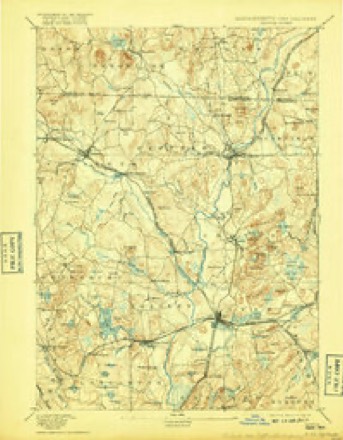
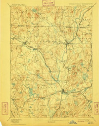
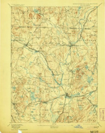
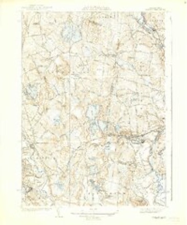
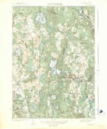
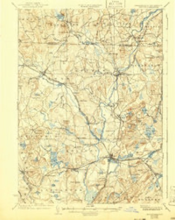
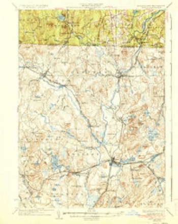
44 sheetsMatched by testing this settlement's coordinate against the published boundary of every sheet in the United States Geological Survey's historical collection. Each opens the scanned sheet at the Survey.
- 1893 USGS Groton quadrangle1:62500
- 1893 USGS Groton quadrangle1:62500
- 1893 USGS Groton quadrangle1:62500
- 1893 USGS Groton quadrangle1:62500
- 1893 USGS Groton quadrangle1:62500
- 1893 USGS Groton quadrangle1:62500
- 1893 USGS Groton quadrangle1:62500
- 1893 USGS Groton quadrangle1:62500
- 1935 USGS Groton quadrangle1:62500
- 1935 USGS Shirley quadrangle1:24000
- 1935 USGS Shirley quadrangle1:31680
- 1935 USGS Shirley quadrangle1:31680
- 1936 USGS Groton quadrangle1:62500
- 1936 USGS Groton quadrangle1:62500
- 1936 USGS Groton quadrangle1:62500
- 1939 USGS Shirley quadrangle1:31680
- 1939 USGS Shirley quadrangle1:31680
- 1939 USGS Shirley quadrangle1:31680
- 1943 USGS Fitchburg quadrangle1:125000
- 1948 USGS Boston quadrangle1:250000
- 1948 USGS Boston quadrangle1:250000
- 1949 USGS Shirley quadrangle1:25000
- 1950 USGS Shirley quadrangle1:24000
- 1955 USGS Shirley quadrangle1:25000
- 1955 USGS Shirley quadrangle1:25000
- 1956 USGS Boston quadrangle1:250000
- 1956 USGS Boston quadrangle1:250000
- 1956 USGS Boston quadrangle1:250000
- 1956 USGS Boston quadrangle1:250000
- 1956 USGS Boston quadrangle1:250000
- 1956 USGS Boston quadrangle1:250000
- 1958 USGS Boston quadrangle1:250000
- 1958 USGS Boston quadrangle1:250000
- 1961 USGS Boston quadrangle1:250000
- 1961 USGS Boston quadrangle1:250000
- 1965 USGS Shirley quadrangle1:25000
- 1965 USGS Shirley quadrangle1:25000
- 1965 USGS Shirley quadrangle1:24000
- 1975 USGS Shirley quadrangle1:25000
- 1984 USGS Lowell quadrangle1:100000
- 1988 USGS Ayer quadrangle1:25000
- 1988 USGS Ayer quadrangle1:25000
- 1988 USGS Lowell quadrangle1:100000
- 1988 USGS Lowell quadrangle1:100000












In the county-history sources
16,055 words on this townshipHistory of Middlesex County, Massachusetts : Containing Carefully Prepared Histories of Every City and Town in the County, published 1880 names this settlement in its chapter on Shirley Town. These are the passages that mention it, exactly as the scans read.
Agriculture has always been the chief occupation of the inliabitants of this town, although various mechanical trades have, from time to time, occupied a limited number. At present the chief industries of this nature are the manufacture of shoes, of willow-ware, and of cider and vinegar. The latter is conducted on a much larger scale than ever before.
Passage source: History of Middlesex County, Massachusetts : Containing Carefully Prepared Histories of Every City and Town in the County, published 1880.
Among the distinguished sons of Sherborn not already mentioned are Rev. Zedekiah Sanger, D. D., afterwards of Bridgewater; Rev. Samuel Kendall, D. D., of Weston; Rev. Henry Ware, D. D., professor of divinity at Harvard University, and the father of Henry Ware, Jr., D. D., John Ware, M. D., of Boston, a medical professor at Harvard, and William Ware, the author of Zenobia and other American classics ; and Asher Ware, LL. D., a cousin of Henry Ware, a distinguished lawyer and jurist, at one time also a professor at Harvard, and afterwards a judge of the district court at Portland, Maine.
Passage source: History of Middlesex County, Massachusetts : Containing Carefully Prepared Histories of Every City and Town in the County, published 1880.
HIRLEY is situated in the northwesterly part of Middlesex County. It is thirty-eight miles northwest from Bosthirty miles in the same direction from Cambridge, and twenty miles southwest from Lowell, the two shire- '^ towns of the county.
Passage source: History of Middlesex County, Massachusetts : Containing Carefully Prepared Histories of Every City and Town in the County, published 1880.
Machine-read from a century-old scan, so expect the errors a machine makes: misspelled names, dropped words, stray characters.
Read the whole chapter on Shirley Town - it names this place 47 more 47 times.
Fires near this place
76 since 2002Regional context, not property-specific evidence. The federal wildfire occurrence database lists 76 fires within 5 miles of Shirley between 2002 and 2020, burning about 2,623 acres in total. None started naturally. 1 was recorded as arson. Distance is straight-line from the map coordinates, so a fire counted here may appear on a neighbouring settlement's page as well.
| Reported cause | Fires |
|---|---|
| Missing data/not specified/undetermined | 33 |
| Debris and open burning | 23 |
| Smoking | 9 |
| Recreation and ceremony | 6 |
| Equipment and vehicle use | 3 |
| Railroad operations and maintenance | 1 |
| Arson/incendiarism | 1 |
The most recent of them, most recent first, with the day each was reported and the service that recorded it.
| Date | Cause | Size | Reported by | Name on the report |
|---|---|---|---|---|
| 20 September 2015 | Railroad operations and maintenance | under an acre | Massachusetts Bureau of Forest Fire Control | not named |
| 1 September 2017 | Smoking | under an acre | Massachusetts Bureau of Forest Fire Control | not named |
| 30 August 2015 | Recreation and ceremony | under an acre | Massachusetts Bureau of Forest Fire Control | not named |
| 27 August 2017 | Smoking | under an acre | Massachusetts Bureau of Forest Fire Control | not named |
| 26 August 2017 | Smoking | under an acre | Massachusetts Bureau of Forest Fire Control | not named |
| 24 August 2016 | Smoking | under an acre | Massachusetts Bureau of Forest Fire Control | not named |
| 22 August 2016 | Missing data/not specified/undetermined | under an acre | Massachusetts Bureau of Forest Fire Control | not named |
| 18 August 2016 | Missing data/not specified/undetermined | under an acre | Massachusetts Bureau of Forest Fire Control | not named |
Settlements close enough to share some of these fires:
Specimens collected near this place
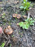
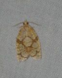
12 of 381 shownRegional context, not property-specific evidence. Museums hold 381 specimens collected within 10 miles of Shirley between 1900 and 1974: 234 Animalia, 83 Plantae, 35 Protozoa, 25 Fungi, 4 Unrecorded. 12 distinct Species records are shown. Collected by A. C. Gibson, A. K. Moore, B. G. Schubert, C.E. Wood Jr. and others. Each is a physical object with a catalogue number, and each entry opens the museum's record. This is what was collected and kept, not a survey of what lives here - nothing can be concluded from a species being absent.
| Image | Species | Year | Collected by | Where, as recorded |
|---|---|---|---|---|
 | Pholiota carbonaria (Fr.) Singer | 1900 | H. Webster | Groton. |
| unnamed | 1926 | F.A. Gilbert | ||
 | Adoxophyes furcatana (Walker, 1863) | 1926 | not recorded | Lancaster |
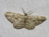 | Anavitrinella pampinaria (Guenée, 1857) | 1926 | not recorded | Lunenburg |
 | Arcyria cinerea (Bull.) Pers., 1801 | 1926 | Collector unspecified | |
 | Alopecurus aequalis Sobol. | 1930 | M. L. Fernald; C. A. Weatherby | |
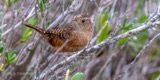 | Cistothorus stellaris (J.F.Naumann, 1823) | 1930 | Collector(s): James Lee Peters | Harvard |
 | Colaptes auratus luteus Bangs, 1898 | 1930 | Collector(s): James Lee Peters | Harvard |
 | Epitheca cynosura (Say, 1840) | 1930 | Davis, E. M. | MA, Middlesex Co., Shirley |
 | Hemaris thysbe Fabricius, 1775 | 1930 | not recorded | Lunenburg |
 | Lanius ludovicianus migrans W.Palmer, 1898 | 1930 | Collector(s): James Lee Peters | Harvard |
 | Molothrus ater ater (Boddaert, 1783) | 1930 | Collector(s): James Lee Peters | Harvard |
All 381 specimens within 10 miles, at the Global Biodiversity Information Facility.
Mines and quarries near this place
7 within 5 milesRegional context, not property-specific evidence. The federal mineral resources record lists 7 workings within 5 miles of Shirley: 4 past producers, 2 producers, 1 unknown. 2 still produce. What was taken out: Sand and Gravel, Construction, Stone, Crushed/Broken. Distance is straight-line from the map coordinates, so a quarry counted here may appear on a neighbouring settlement's page as well.
| Where | Site | Commodity | Status | Recorded |
|---|---|---|---|---|
| Keating Quarry & Mill | Stone, Crushed/Broken | Unknown | ||
| Keating Quarry and Mill | Stone, Crushed/Broken | Producer | ||
| Hazen Pit | Sand and Gravel, Construction | Past Producer | ||
| Joy Contracting Tc | Sand and Gravel, Construction | Past Producer | Sedimentary | |
| Luenburg Plant | Sand and Gravel, Construction | Producer | ||
| P J Keating | Sand and Gravel, Construction | Past Producer | Sedimentary | |
| Shirley Pit | Sand and Gravel, Construction | Past Producer |
Storms near this place
13 since 1997Regional context, not property-specific evidence. The National Weather Service names Shirley in 13 storm reports between 1997 and 2025: 11 thunderstorm wind, 2 hail. The reports record 5 injuries. Each account below is quoted exactly as the forecast office filed it, from the NOAA Storm Events Database, and each date opens the federal record of that event.
| When | Event | Place named | Harm | What the report says |
|---|---|---|---|---|
| October 2020 | Thunderstorm Wind | North Shirley | 5 hurt, $2,000 | The Devens Fire Chief reported five injuries from Fort Devens when a military-grade tent was lifted up and blown down an embankment by thunderstorm winds. It occurred during a training exercise. Five people were taken to the hospital, treated, and released. Four of the injuries were minor, but one trainee, who was holding onto the tent, was also lifted up and blown 40 feet down the embankment, and received a concussion. |
| July 2004 | Thunderstorm Wind | Shirley | $10,000 | no account filed |
| June 2025 | Thunderstorm Wind | North Shirley | $5,000 | In Shirley, broadcast media sent aerial photos of around a dozen trees uprooted or snapped off at the top laying in the same direction on Walker Rd. |
| March 2016 | Thunderstorm Wind | Shirley | $5,000 | A one foot diameter tree was downed by thunderstorm winds. |
| July 2016 | Thunderstorm Wind | Shirley | $5,000 | Power lines at the intersection of Cold Spring and Graniteville were downed by thunderstorm winds. |
| June 2008 | Thunderstorm Wind | Shirley | $5,000 | Trees on Willard Road were downed by thunderstorm winds. Willard Road was closed due to the damage. |
| August 2024 | Thunderstorm Wind | North Shirley | $200 | In Ayer, a tree was down on wires on Douglas St. |
| June 2025 | Hail | Shirley | - | In Shirley, a trained spotter reported quarter size hail. |
| July 2007 | Thunderstorm Wind | Shirley | - | Trees and wires down on South Street. |
| February 1997 | Thunderstorm Wind | Shirley | - | A gust to 60 mph was reported in Shirley. |
| August 2015 | Hail | Shirley | - | no account filed |
| June 2001 | Thunderstorm Wind | Shirley | - | no account filed |
| July 1999 | Thunderstorm Wind | Shirley | - | no account filed |
Nearest settlements
The eight closest, with where each one stands in the county. Distances are straight-line, computed from the Geographic Names Information System coordinates.
| Map | Place | Distance | Sheets |
|---|---|---|---|
| Shaker Village | 1.0 miles | 44 | |
| Shirley Center | 2.0 miles | 44 | |
| Woodsville | 2.4 miles | 41 | |
| North Shirley | 2.8 miles | 44 | |
| Ayer | 3.4 miles | 41 | |
| West Groton | 4.3 miles | 44 | |
| Devenscrest | 4.4 miles | 41 | |
| Vose | 4.8 miles | 44 |
Elsewhere
Matched on this settlement's Geographic Names Information System number rather than its name, so it cannot be a different place of the same name in another state.
| Wikipedia article on Shirley | An encyclopaedic summary. Its text is share-alike, so it is linked here rather than copied. |
| Wikidata item Q7498676 | The structured record the population and elevation above come from. Public domain (CC0). |
Provenance
This settlement is recorded in the Geographic Names Information System as feature 610789. The sheet list is computed by point-in-boundary test against the United States Geological Survey's historical topographic inventory. Both are works of the United States government and carry no copyright under 17 U.S.C. 105.
Wildfire. Short, Karen C. 2022. Spatial wildfire occurrence data for the United States, 1992-2020 [FPA_FOD_20221014]. 6th Edition. Fort Collins, CO: Forest Service Research Data Archive. https://doi.org/10.2737/RDS-2013-0009.6 Collected with United States Government funding and usable without additional permissions or fees.
Specimens. Global Biodiversity Information Facility (GBIF), https://www.gbif.org/. Only records licensed CC0 or CC BY are used. Records licensed CC BY-NC are excluded because this site carries advertising. Images are checked individually and any whose licence is non-commercial, no-derivatives or unreadable is refused.
Mines and quarries. USGS Mineral Resources Data System (MRDS) https://mrdata.usgs.gov/mrds/ A work of the United States government, no copyright under 17 U.S.C. 105.
Storms. NOAA National Centers for Environmental Information, Storm Events Database https://www.ncei.noaa.gov/stormevents/ A work of the United States government, no copyright under 17 U.S.C. 105. Narratives are quoted verbatim from the National Weather Service report and are not edited or summarised.