 Block
Block
South Akron, Ohio
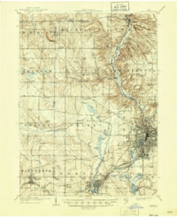
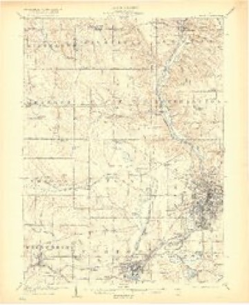
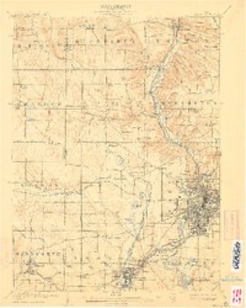
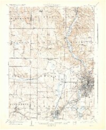
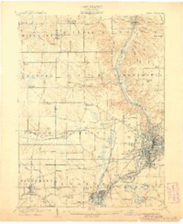
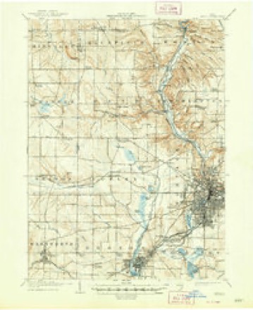
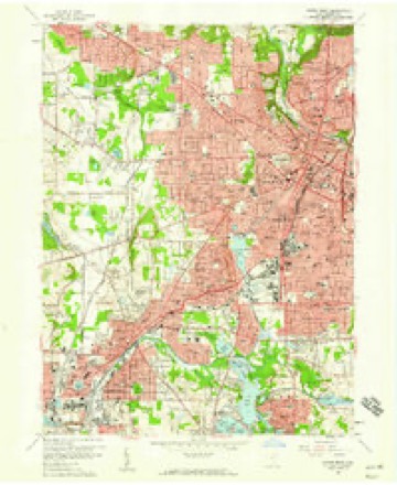
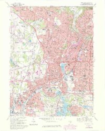
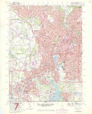
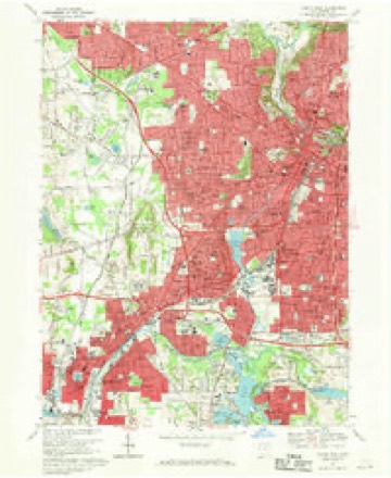
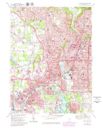
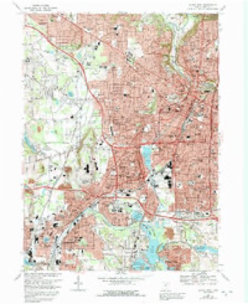
22 topographic sheets cover this place, the earliest surveyed in 1903 and the latest in 1994. It stands in Akron City. It lies in ZIP code area 44311. The Survey maps it on the Akron West quadrangle.
Then and now
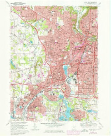
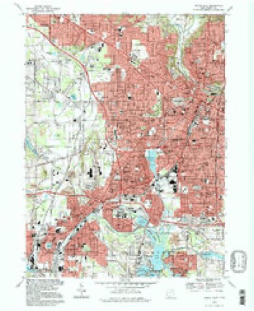
1903 to 1994The same ground, surveyed 91 years apart. Drag the handle to wipe between them. Both sheets are United States Geological Survey originals; neither has been altered.
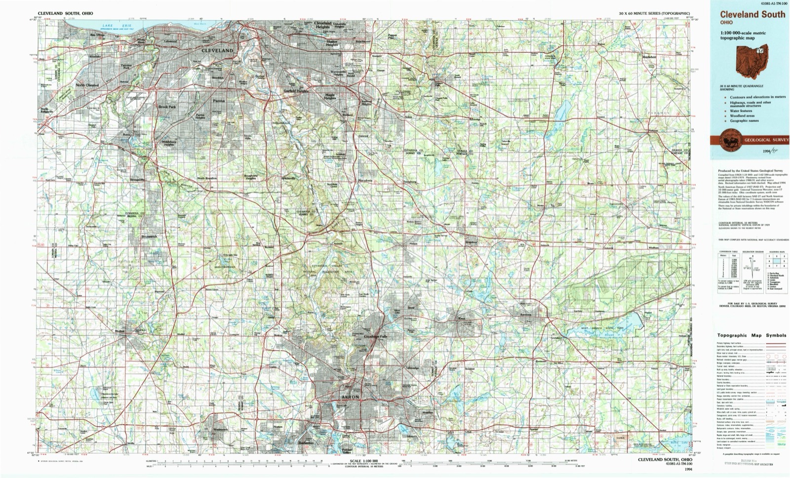
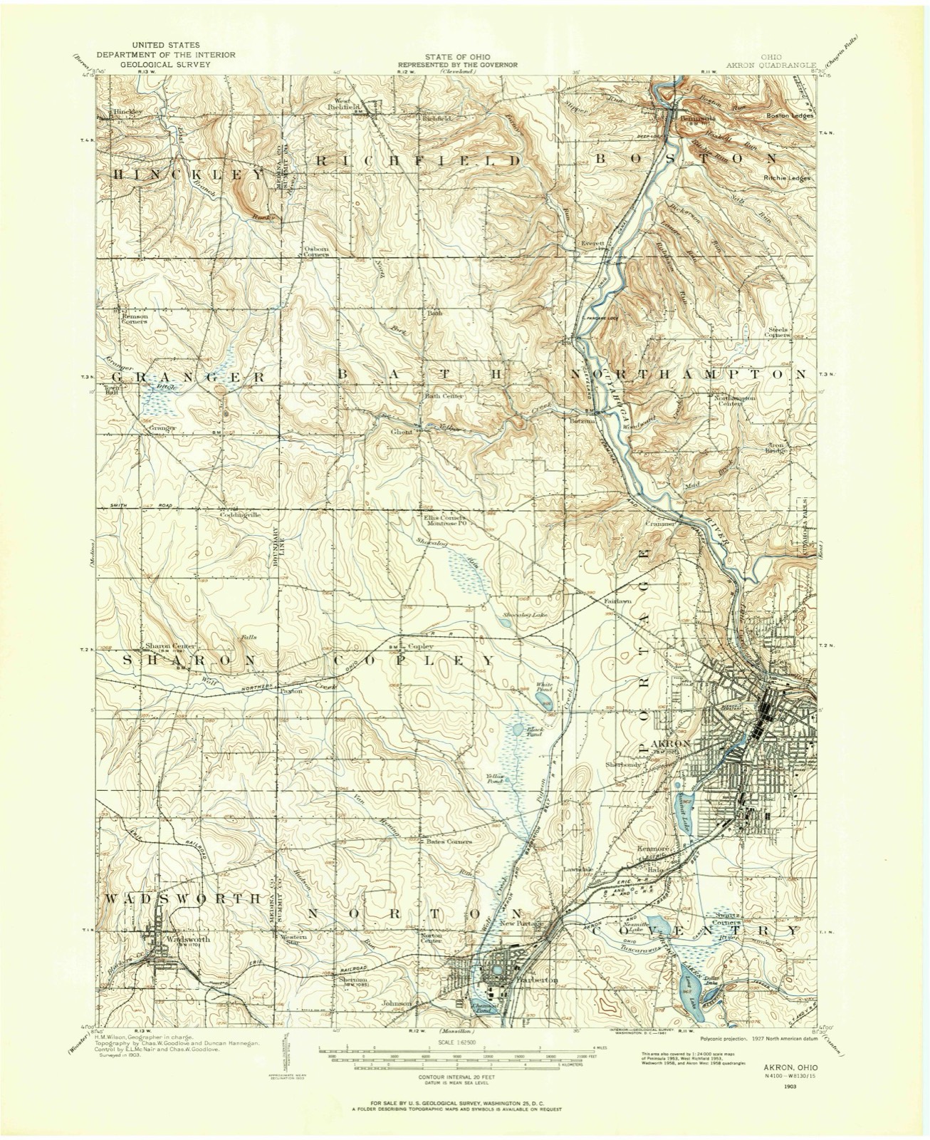
Topographic sheets covering this place
22 sheetsMatched by testing this settlement's coordinate against the published boundary of every sheet in the United States Geological Survey's historical collection. Each opens the scanned sheet at the Survey.
- 1903 USGS Akron quadrangle1:62500
- 1905 USGS Akron quadrangle1:62500
- 1905 USGS Akron quadrangle1:62500
- 1905 USGS Akron quadrangle1:62500
- 1905 USGS Akron quadrangle1:62500
- 1905 USGS Akron quadrangle1:62500
- 1905 USGS Akron quadrangle1:62500
- 1905 USGS Akron quadrangle1:62500
- 1956 USGS Cleveland quadrangle1:250000
- 1956 USGS Cleveland quadrangle1:250000
- 1956 USGS Cleveland quadrangle1:250000
- 1958 USGS Akron West quadrangle1:24000
- 1962 USGS Cleveland quadrangle1:250000
- 1967 USGS Akron West quadrangle1:24000
- 1967 USGS Akron West quadrangle1:24000
- 1967 USGS Akron West quadrangle1:24000
- 1967 USGS Akron West quadrangle1:24000
- 1967 USGS Akron West quadrangle1:24000
- 1967 USGS Akron West quadrangle1:24000
- 1986 USGS Cleveland South quadrangle1:100000
- 1994 USGS Akron West quadrangle1:24000
- 1994 USGS Cleveland South quadrangle1:100000






In the county-history sources
22,626 words on this townshipCentennial History of Summit County, Ohio and Representative Citizens, published 1908 names this settlement in its chapter on Akron City. These are the passages that mention it, exactly as the scans read.
The survey for the Ohio canal had been made, and, by studying tlie altitudes of various places on its length, it was seen that the site of this new village occupied the very highest point. There is a Greek word, Akros, which translated means "high." At the suggestion of a lawyer fi-iend. General Perkins adopted the name "Akron" as a very appropriate one for his new town. She is the original Akron. She has been a prolific parent, for new "Akrons" are found in New York, Colorado, Indiana and many other states. The city does not occupy the highest land in the state, as is often erroneously asserted. The highest altitude in the city is about 1,100 feet above the level of the sea. The highest point in the state is in the town of Ontario, not far from Mansfield, where the elevation reached is 1,373 feet.
Passage source: Centennial History of Summit County, Ohio and Representative Citizens, published 1908.
The sixth Federal Census did not recognize Akron. It was the census of 1840. It gave Cleveland, 6,071 ; Steubenville, 4,247 ; Zanesville, 4,766; Chillicothe, 3.977. It gave the number of inhabitants in Summit County as 22,560. In 1850, the name of Akron appears for the first time, and the town is credited with 3,266 population. In 1860 this had grown to only 3,477. The new railways had been in operation only five or six years, and their influence was not yet firmly felt. The older part of the town was exceedingly jealous, in the early days, of the new upstart just north of it. Although they were both founded by General Simon Perkins, and had much in common, still, the rapid growth and many superior advantages of the northern section was quite sufficient to disturb the equanimity of the older community. The former possessed the "Stone Mill," and it was the largest manufactnring industry in any of the three towns. Here, also, was the new
Passage source: Centennial History of Summit County, Ohio and Representative Citizens, published 1908.
But, the contest up to the time of the Post- Office War, was mild by comparison with what happened during that memorable affair, and the year or two next succeeding. Then was reached the climax. Up until December, 1837, the post-office had been located in South Akron. It was established in 1826, the year after the founding, by President John Quincy Adams. He appointed a young lawyer named Wolsey Wells as the first postmaster. Mr. Wells built a large house on West Exchange Street, on the corner of Water Street, and in it conducted the operations of the postal service and collected the tolls on the Ohio Canal, for he was both postmaster and toll collector, and, when he had time, attended to the duties of justice of the peace, in addition. It probably required the revenues from the combined offices to support the one incumbent, and even then his salary was doubtless only a modest one.
Passage source: Centennial History of Summit County, Ohio and Representative Citizens, published 1908.
Machine-read from a century-old scan, so expect the errors a machine makes: misspelled names, dropped words, stray characters.
Read the whole chapter on Akron City - it names this place 5 more 5 times.
Fires near this place
1 since 2014Regional context, not property-specific evidence. The federal wildfire occurrence database lists 1 fire within 5 miles of South Akron between 2014 and 2014, burning about 0 acres in total. None started naturally. None was recorded as arson. Distance is straight-line from the map coordinates, so a fire counted here may appear on a neighbouring settlement's page as well.
| Reported cause | Fires |
|---|---|
| Missing data/not specified/undetermined | 1 |
The most recent of them, most recent first, with the day each was reported and the service that recorded it.
| Date | Cause | Size | Reported by | Name on the report |
|---|---|---|---|---|
| 27 April 2014 | Missing data/not specified/undetermined | under an acre | Cuyahoga Valley National Park | CANYON TRAIL |
Settlements close enough to share some of these fires:
Specimens collected near this place
12 of 820 shownRegional context, not property-specific evidence. Museums hold 820 specimens collected within 10 miles of South Akron between 1867 and 1975: 707 Animalia, 67 Plantae, 44 Fungi, 1 Unrecorded, 1 Bacteria. 12 distinct Species records are shown. Collected by (no collector listed), A. Black, A. W. Cusick and others. Each is a physical object with a catalogue number, and each entry opens the museum's record. This is what was collected and kept, not a survey of what lives here - nothing can be concluded from a species being absent.
| Image | Species | Year | Collected by | Where, as recorded |
|---|---|---|---|---|
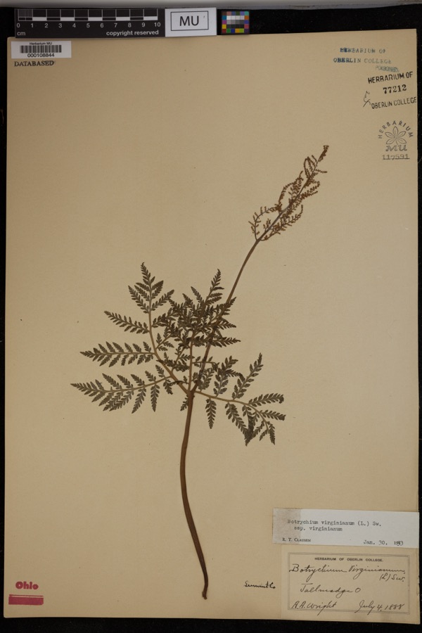 | Botrychium virginianum subsp. virginianum | 1888 | Wright, A.A. | Tallmadge. |
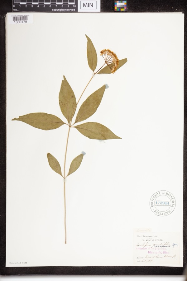 | Asclepias quadrifolia Jacq. | 1889 | Foltz, Kent O. | Sand Run Park; Akron |
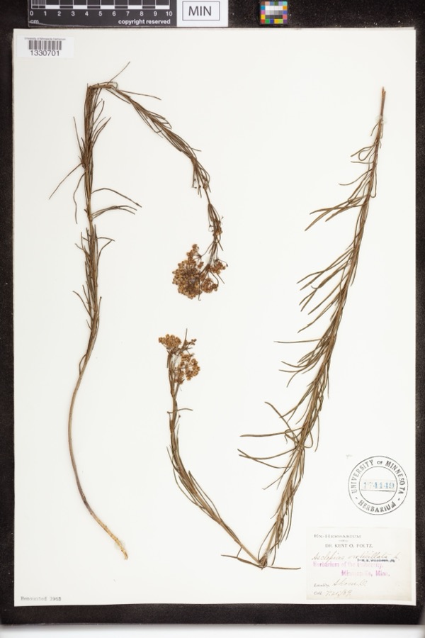 | Asclepias verticillata L. | 1889 | not recorded | Akron |
 | Accipiter striatus velox (A.Wilson, 1812) | 1867 | Collector(s): James Lee Peters | Akron |
 | Dryopteris carthusiana (Vill.) H.P.Fuchs | 1880 | F. O. Payne | Akron |
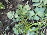 | Geum aleppicum Jacq. | 1887 | Elliott | Greensburg |
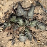 | Geum canadense Jacq. | 1887 | Elliott | Greensburg |
 | Hydrastis canadensis L. | 1888 | E.L. Sturtevant II | |
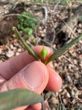 | Lonicera dioica L. | 1888 | K. O. Foltz | |
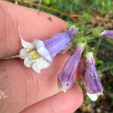 | Penstemon hirsutus (L.) Willd. | 1888 | K. O. Foltz | |
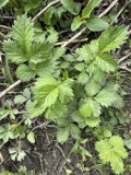 | Agrimonia gryposepala Wallr. | 1889 | Elliott | Greensburg |
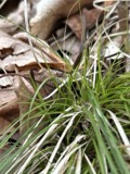 | Carex pensylvanica Lam. | 1889 | Foltz, K.O. | Akron |
All 820 specimens within 10 miles, at the Global Biodiversity Information Facility.
Mines and quarries near this place
7 within 5 milesRegional context, not property-specific evidence. The federal mineral resources record lists 7 workings within 5 miles of South Akron: 4 past producers, 3 producers. 3 still produce. What was taken out: Sand and Gravel, Construction, Salt. Distance is straight-line from the map coordinates, so a quarry counted here may appear on a neighbouring settlement's page as well.
| Where | Site | Commodity | Status | Recorded |
|---|---|---|---|---|
| Ppg Indus Brine Wells Plant | Salt | Producer | ||
| Arlington Pit | Sand and Gravel, Construction | Past Producer | Sedimentary | |
| Barberton Pit | Sand and Gravel, Construction | Past Producer | Sedimentary | |
| Flesher Pit | Sand and Gravel, Construction | Past Producer | Sedimentary | |
| Lerkis Pit & Plant | Sand and Gravel, Construction | Producer | ||
| Riverside Pit | Sand and Gravel, Construction | Past Producer | Sedimentary | |
| Twin Lakes Sand Arlington Pit | Sand and Gravel, Construction | Producer |
Nearest settlements
The eight closest, with where each one stands in the county. Distances are straight-line, computed from the Geographic Names Information System coordinates.
| Map | Place | Distance | Sheets |
|---|---|---|---|
| Akron | 1.4 miles | 22 | |
| Summit Beach Park | 1.4 miles | 22 | |
| East Akron | 1.6 miles | 16 | |
| Cascade (historical) | 1.6 miles | 22 | |
| Arlington | 1.8 miles | 16 | |
| Firestone Park | 1.8 miles | 22 | |
| West Akron | 1.9 miles | 22 | |
| Thomastown | 2.0 miles | 16 |
Elsewhere
Matched on this settlement's Geographic Names Information System number rather than its name, so it cannot be a different place of the same name in another state.
| Wikidata item Q122566615 | The structured record the population and elevation above come from. Public domain (CC0). |
Provenance
This settlement is recorded in the Geographic Names Information System as feature 1049186. The sheet list is computed by point-in-boundary test against the United States Geological Survey's historical topographic inventory. Both are works of the United States government and carry no copyright under 17 U.S.C. 105.
Wildfire. Short, Karen C. 2022. Spatial wildfire occurrence data for the United States, 1992-2020 [FPA_FOD_20221014]. 6th Edition. Fort Collins, CO: Forest Service Research Data Archive. https://doi.org/10.2737/RDS-2013-0009.6 Collected with United States Government funding and usable without additional permissions or fees.
Specimens. Global Biodiversity Information Facility (GBIF), https://www.gbif.org/. Only records licensed CC0 or CC BY are used. Records licensed CC BY-NC are excluded because this site carries advertising. Images are checked individually and any whose licence is non-commercial, no-derivatives or unreadable is refused.
Mines and quarries. USGS Mineral Resources Data System (MRDS) https://mrdata.usgs.gov/mrds/ A work of the United States government, no copyright under 17 U.S.C. 105.