 Block
Block
Akron, Ohio
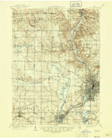
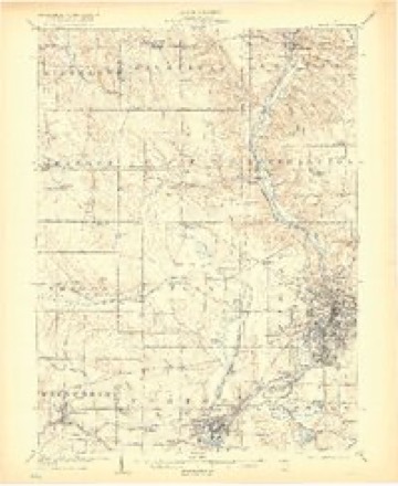
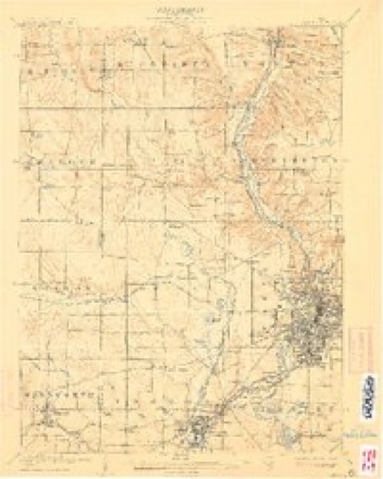
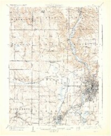
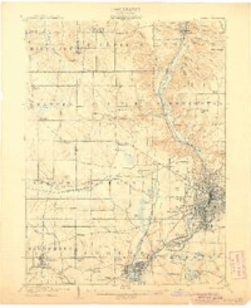
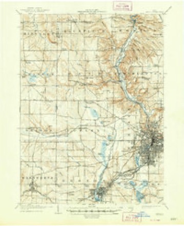
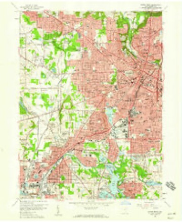
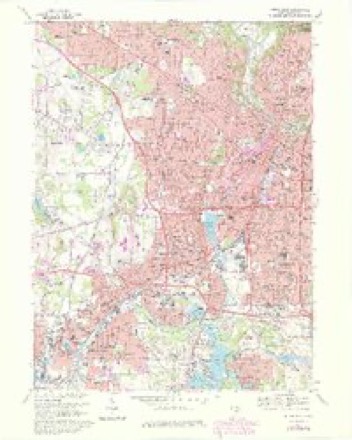
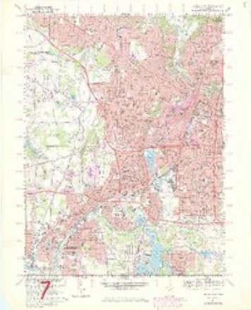
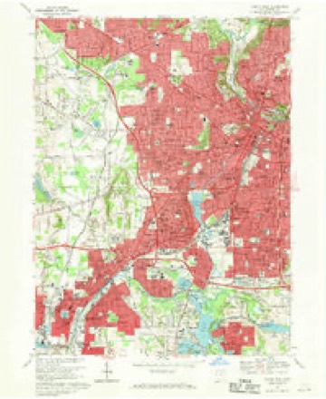
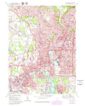
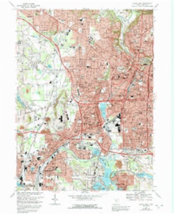
22 topographic sheets cover this place, the earliest surveyed in 1903 and the latest in 1994. It stands in Akron City. It lies in ZIP code area 44308. The Survey maps it on the Akron West quadrangle. 190,469 people lived here at the 2020 count. It stands 1,004 feet above sea level.
Research this city
This curated hub for Summit County, Ohio brings together the page's documented record links, visible map or image evidence where published, and routes to related local records.
What is documented here?
Use the page's provenance and linked records to distinguish the source material from the site's navigation and summaries.
How should I cite it?
Open the original record, preserve its repository and identifier, then use the citation tool for this page as a path back to the source.
Where should I go next?
Follow the county or state hub for related places and records, then use the guide for a source-aware research sequence.
Population over time
2 figuresAkron fell from 199,110 to 190,469 between 2010 and 2020. These are the recorded population figures Wikidata holds for this place, reached through the Geographic Names Information System number this page is keyed on rather than by name, so they belong to this place and not to another of the same name. Most are census counts, but not all are: an early figure may be a founding or settlement estimate. The change column is computed, and is left blank where more than 20 years separate a figure from the one before it, because a gap that long is not a change between two counts.
| Year | People | Change |
|---|---|---|
| 2010 | 199,110 | |
| 2020 | 190,469 | -8,641 (-4%) |
Then and now
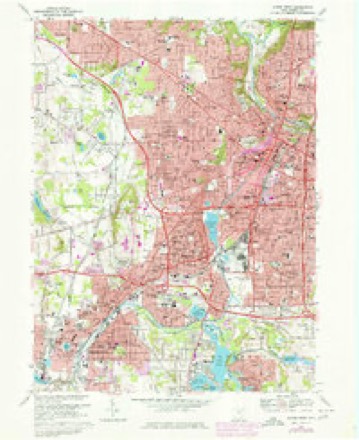
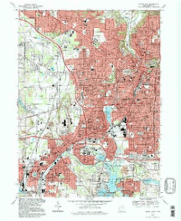
1903 to 1994The same ground, surveyed 91 years apart. Drag the handle to wipe between them. Both sheets are United States Geological Survey originals; neither has been altered.
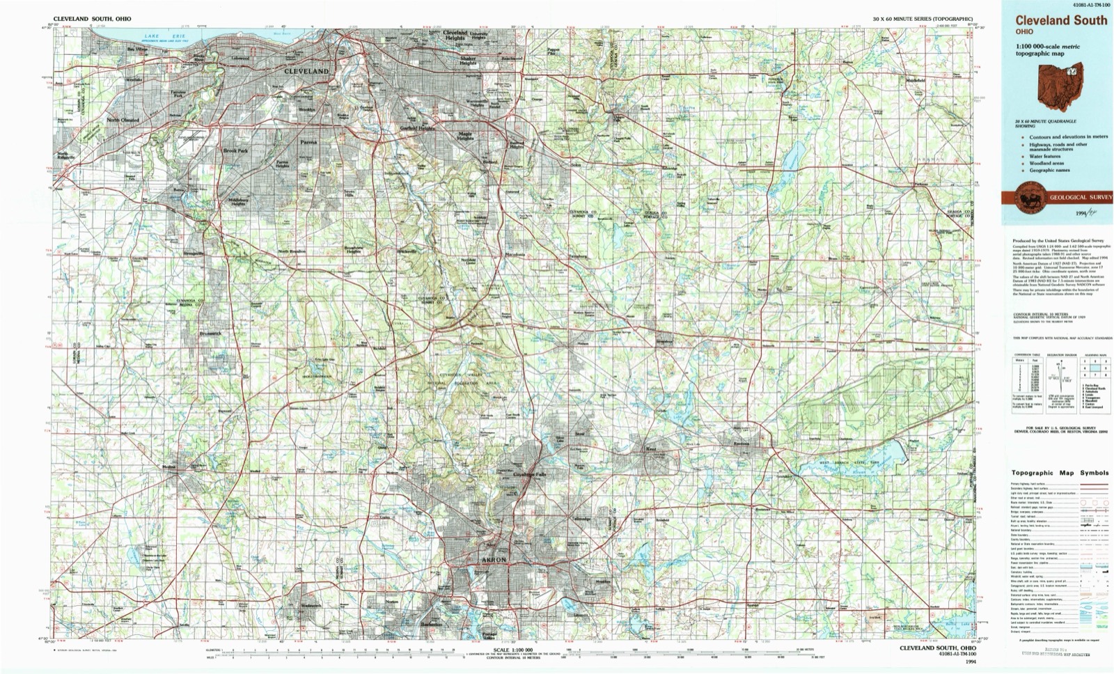
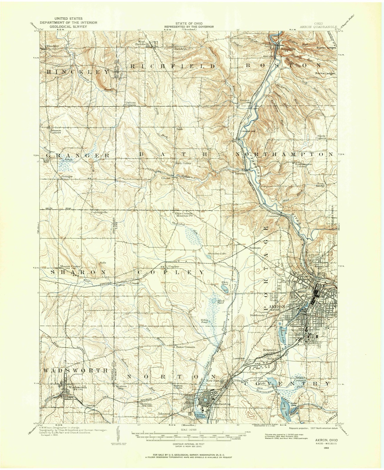
Topographic sheets covering this place
22 sheetsMatched by testing this settlement's coordinate against the published boundary of every sheet in the United States Geological Survey's historical collection. Each opens the scanned sheet at the Survey.
- 1903 USGS Akron quadrangle1:62500
- 1905 USGS Akron quadrangle1:62500
- 1905 USGS Akron quadrangle1:62500
- 1905 USGS Akron quadrangle1:62500
- 1905 USGS Akron quadrangle1:62500
- 1905 USGS Akron quadrangle1:62500
- 1905 USGS Akron quadrangle1:62500
- 1905 USGS Akron quadrangle1:62500
- 1956 USGS Cleveland quadrangle1:250000
- 1956 USGS Cleveland quadrangle1:250000
- 1956 USGS Cleveland quadrangle1:250000
- 1958 USGS Akron West quadrangle1:24000
- 1962 USGS Cleveland quadrangle1:250000
- 1967 USGS Akron West quadrangle1:24000
- 1967 USGS Akron West quadrangle1:24000
- 1967 USGS Akron West quadrangle1:24000
- 1967 USGS Akron West quadrangle1:24000
- 1967 USGS Akron West quadrangle1:24000
- 1967 USGS Akron West quadrangle1:24000
- 1986 USGS Cleveland South quadrangle1:100000
- 1994 USGS Akron West quadrangle1:24000
- 1994 USGS Cleveland South quadrangle1:100000






In the county-history sources
22,626 words on this townshipCentennial History of Summit County, Ohio and Representative Citizens, published 1908 names this settlement in its chapter on Akron City. These are the passages that mention it, exactly as the scans read.
It is inaccurate to say that the Ohio Canal made Akron. The city as it stands today is the resultant of many causes. Many and different influences, and various men and measures, have co-operated toward the end now attained. The start was made long before the Ohio Canal was built. - Within the present limits of the city, settlements at two different points had been made, which antedate the canal by nearly two decades. In 1807 the first settlement had been made in Middlebury. In 1811 Miner Spicer had started "Spicertown." In the same year Paul Williams settled upon the lands immediately west of the Spicer settlement and adjoining the land of General Simon Perkins on the east. When the canal was opened in 1827 Middlebury was an important village. It had attracted many settlers from the East, principally from Connecticut, and boasted of half a dozen mills and factories, a dozen stores, three inns and about five hundred inhabitants. It certainly deserved a place on the maps of the time.
Passage source: Centennial History of Summit County, Ohio and Representative Citizens, published 1908.
Let us search that we may find, if we can, the economic reasons for the existence of Akron. The sentence that begins this chapter contains the idea that is ordinarily advanced as the sole reason for the Akron of today. The unthinking man repeats: "The canal made Akron." The wTiter on Akron history records: "Dr. Eliakim G. Crosby made Akron."
Passage source: Centennial History of Summit County, Ohio and Representative Citizens, published 1908.
Then commenced the great traffic over the Ohio Canal. If the Portage Path was not a highway, the canal certainly was. It is hard to realize now how important an avenue of commerce this great waterway was in the early days of Ohio. It is difficult to estimate accurately the great part it played in the development of the state. The danger to the student of these results will be to overstate them. The village at the mouth of the Cuyahoga had grown rapidly. Cleveland enjoyed an extensive commerce and the products of Pittsburgh, Philadelphia and the East were being distributed thence throughout the West by lake carriage. Ship-building in the vicinity of Cleveland became an established industry. The Cuyahoga at this time was a much larger stream than it is at present and many lake vessels were built as far inland as Old Portage.
Passage source: Centennial History of Summit County, Ohio and Representative Citizens, published 1908.
Machine-read from a century-old scan, so expect the errors a machine makes: misspelled names, dropped words, stray characters.
Read the whole chapter on Akron City - it names this place 87 more 87 times.
Photographs
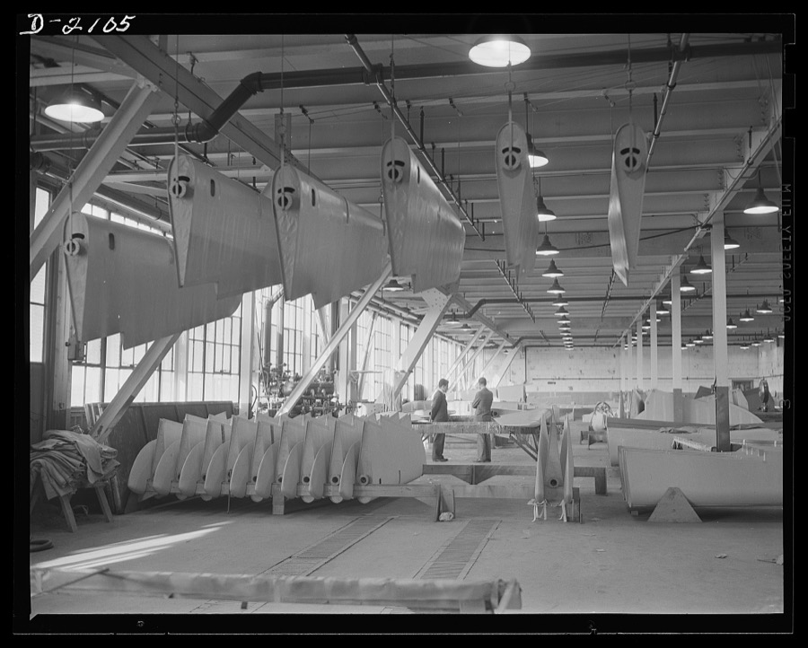
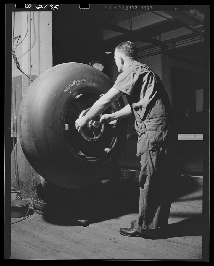
8 photographs, 1941 to 1942Taken for the Office of War Information and the Farm Security Administration, who photographed the country between 1935 and 1944. Works of United States government photographers, with no known restriction on use. Each opens its catalogue record.

Palmer, Alfred T., photographer, 1941. Library of Congress
Palmer, Alfred T., photographer, 1941. Library of Congress
Palmer, Alfred T., photographer, 1941. Library of Congress
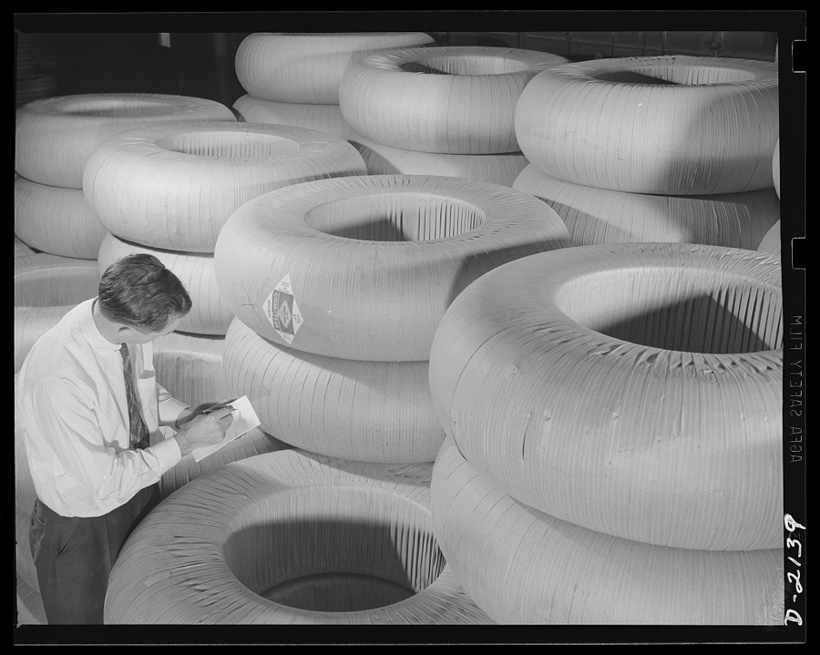
Palmer, Alfred T., photographer, 1941. Library of Congress
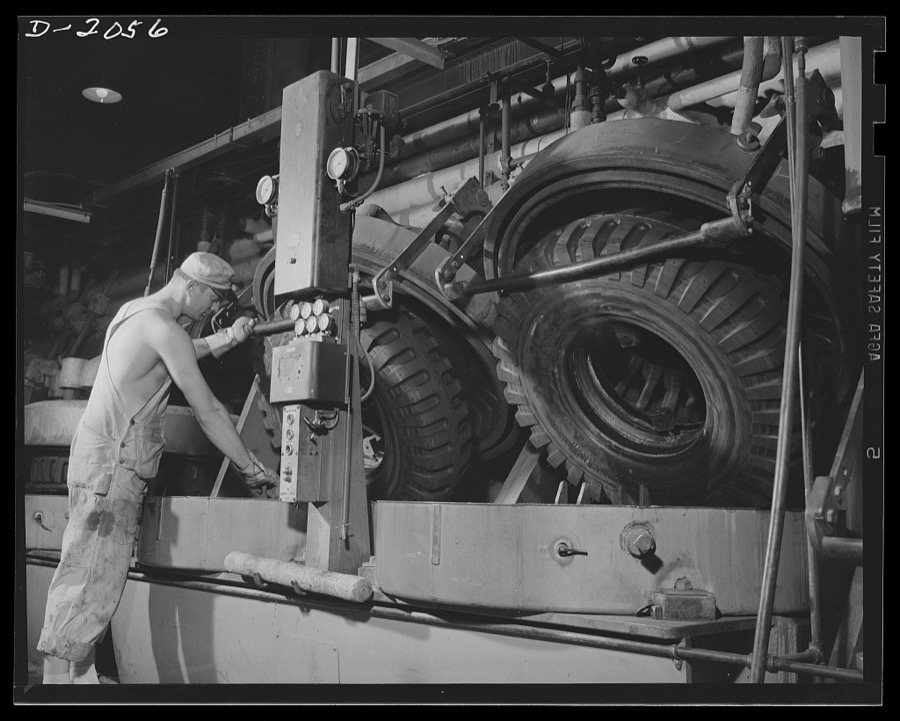
Palmer, Alfred T., photographer, 1941. Library of Congress
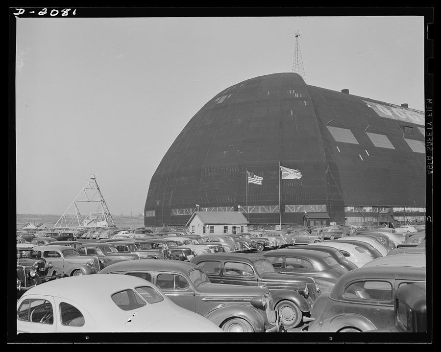
Palmer, Alfred T., photographer, 1941. Library of Congress
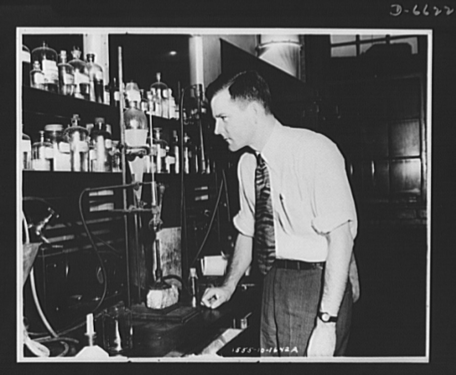
United States. Office of War Information, 1942. Library of Congress
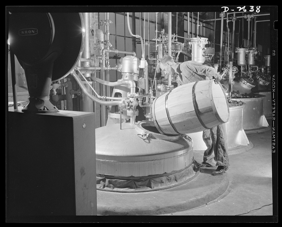
Palmer, Alfred T., photographer, 1942. Library of Congress
Fires near this place
1 since 2014Regional context, not property-specific evidence. The federal wildfire occurrence database lists 1 fire within 5 miles of Akron between 2014 and 2014, burning about 0 acres in total. None started naturally. None was recorded as arson. Distance is straight-line from the map coordinates, so a fire counted here may appear on a neighbouring settlement's page as well.
| Reported cause | Fires |
|---|---|
| Missing data/not specified/undetermined | 1 |
The most recent of them, most recent first, with the day each was reported and the service that recorded it.
| Date | Cause | Size | Reported by | Name on the report |
|---|---|---|---|---|
| 27 April 2014 | Missing data/not specified/undetermined | under an acre | Cuyahoga Valley National Park | CANYON TRAIL |
Settlements close enough to share some of these fires:
Specimens collected near this place
12 of 810 shownRegional context, not property-specific evidence. Museums hold 810 specimens collected within 10 miles of Akron between 1867 and 1975: 694 Animalia, 69 Plantae, 45 Fungi, 1 Unrecorded, 1 Bacteria. 12 distinct Species records are shown. Collected by (no collector listed), A. Black, A. W. Cusick and others. Each is a physical object with a catalogue number, and each entry opens the museum's record. This is what was collected and kept, not a survey of what lives here - nothing can be concluded from a species being absent.
| Image | Species | Year | Collected by | Where, as recorded |
|---|---|---|---|---|
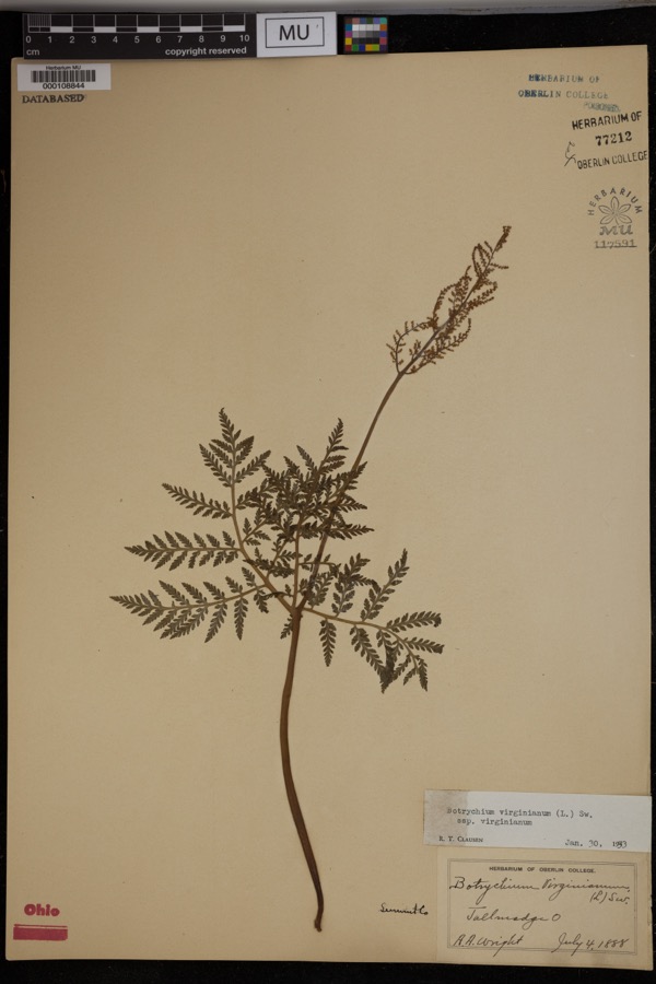 | Botrychium virginianum subsp. virginianum | 1888 | Wright, A.A. | Tallmadge. |
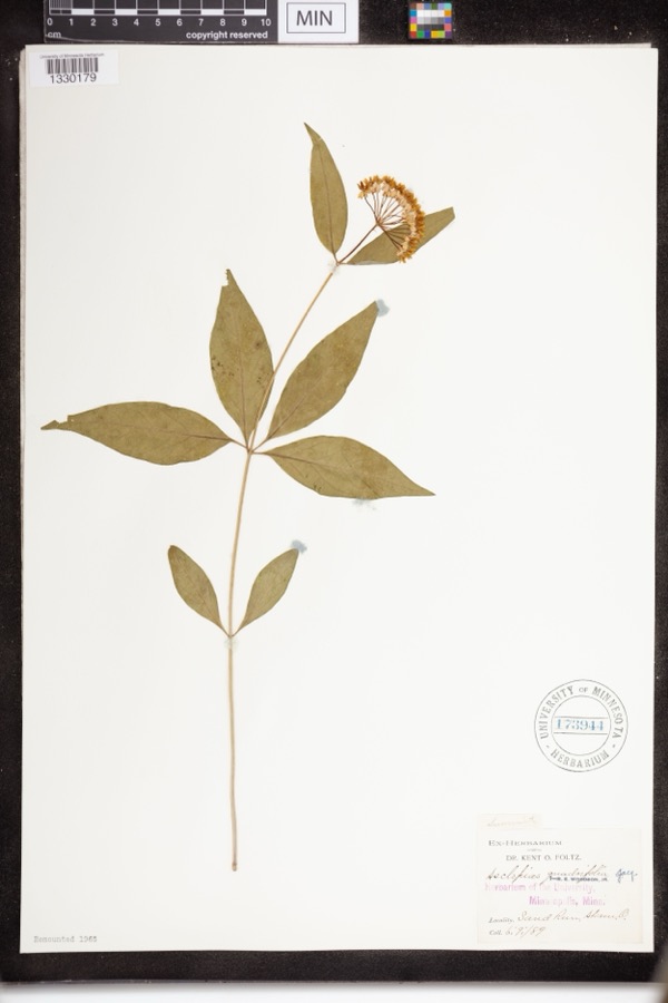 | Asclepias quadrifolia Jacq. | 1889 | Foltz, Kent O. | Sand Run Park; Akron |
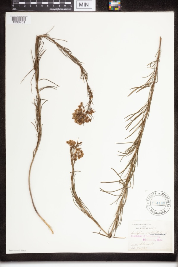 | Asclepias verticillata L. | 1889 | not recorded | Akron |
 | Accipiter striatus velox (A.Wilson, 1812) | 1867 | Collector(s): James Lee Peters | Akron |
 | Dryopteris carthusiana (Vill.) H.P.Fuchs | 1880 | F. O. Payne | Akron |
 | Hydrastis canadensis L. | 1888 | E.L. Sturtevant II | |
 | Lonicera dioica L. | 1888 | K. O. Foltz | |
 | Penstemon hirsutus (L.) Willd. | 1888 | K. O. Foltz | |
 | Carex pensylvanica Lam. | 1889 | Foltz, K.O. | Akron |
 | Peltandra virginica (L.) Schott | 1889 | Foltz, Kent O. | Akron; Blue Pond |
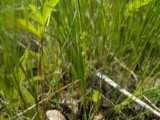 | Platanthera flava var. herbiola (R.Br.) Luer | 1889 | K. O. Foltz | Copley Swamp, near Akron |
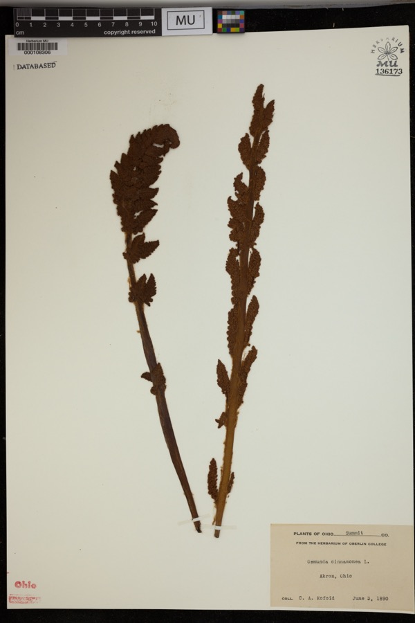 | Osmunda cinnamomea L. | 1890 | Kofoid, C.A. | Akron. |
All 810 specimens within 10 miles, at the Global Biodiversity Information Facility.
Mines and quarries near this place
10 of 11 shownRegional context, not property-specific evidence. The federal mineral resources record lists 11 workings within 5 miles of Akron: 9 past producers, 2 producers. 2 still produce. What was taken out: Sand and Gravel, Construction. Distance is straight-line from the map coordinates, so a quarry counted here may appear on a neighbouring settlement's page as well.
| Where | Site | Commodity | Status | Recorded |
|---|---|---|---|---|
| Alden Pit | Sand and Gravel, Construction | Past Producer | ||
| Arlington Pit | Sand and Gravel, Construction | Past Producer | Sedimentary | |
| Flesher Pit | Sand and Gravel, Construction | Past Producer | Sedimentary | |
| Herbruck Trucking Pit | Sand and Gravel, Construction | Past Producer | Sedimentary | |
| Herbruck Trucking Pit | Sand and Gravel, Construction | Past Producer | ||
| J.P. Pollo Pit | Sand and Gravel, Construction | Past Producer | Sedimentary | |
| J.P. Pollo Pit | Sand and Gravel, Construction | Past Producer | ||
| Lerkis Pit & Plant | Sand and Gravel, Construction | Producer | ||
| Riverside Pit | Sand and Gravel, Construction | Past Producer | Sedimentary | |
| Robert E. Alden Sand & Gravel Pit | Sand and Gravel, Construction | Past Producer | Sedimentary |
Storms near this place
60 of 75 shownRegional context, not property-specific evidence. The National Weather Service names Akron in 75 storm reports between 1996 and 2025: 38 hail, 31 thunderstorm wind, 5 flash flood, 1 lightning. The reports record 2 deaths. Each account below is quoted exactly as the forecast office filed it, from the NOAA Storm Events Database, and each date opens the federal record of that event.
| When | Event | Place named | Harm | What the report says |
|---|---|---|---|---|
| July 2013 | Flash Flood | Akron | 1 killed, $3,800,000 | On Wednesday afternoon, July 10, the City of Akron experienced 3 to 4 inches of rain in an hour and a half. Flooding occurred causing the closings of roadways and expressways. Along with the roadway flooding, the City received reports of nearly 200 flooded basements. Widespread flooding was reported throughout the city and numerous homes, businesses, and vehicles were inundated by the rain. |
| May 2024 | Thunderstorm Wind | Akron | 1 killed, $20,000 | Weakened tree fell onto home in Akron and killed occupant. Thunderstorm was likely sub-severe per radar data. The nearby Akron-Fulton International Airport ASOS recorded a peak convective wind gust of 44 mph at 9:26 AM EST. No other reports of thunderstorm-related damage or severe convective weather were received as the cluster of storms moved through the Akron area. |
| June 2007 | Hail | Akron | $288,000,000 | A severe thunderstorm moved across Summit County and caused unprecedented damage. Hail as large as softballs fell across much of the county. Extensive damage was done to homes and vehicles in Akron and surrounding areas. Nearly 51,100 insurance claims were filed for damage in the county. The south side of Akron was the hardest hit. |
| July 2012 | Hail | Akron | $750,000 | Hail as large as golf balls was reported. Many vehicles and a few homes were damaged by the hail. |
| September 2016 | Thunderstorm Wind | Akron | $50,000 | Thunderstorm winds downed trees and limbs in the Akron and Stow areas resulting in scattered power outages. At the peak of the storm a few thousand customers were without power. |
| June 2009 | Hail | Akron | $50,000 | Half dollar size hail was observed. |
| May 2002 | Thunderstorm Wind | Akron | $50,000 | Thunderstorm winds downed several trees in Akron. Three cars were damaged by the fallen trees. |
| August 1998 | Thunderstorm Wind | Akron | $50,000 | In Akron and in Springfield Township, trees and power lines were downed, some on vehicles and houses. |
| August 1996 | Lightning | Akron | $40,000 | no account filed |
| June 2011 | Hail | Akron | $15,000 | Thunderstorms produced nickel size hail for several minutes. The size of the hail increased significantly around 8:40pm EST, to half dollar size. |
| August 2009 | Thunderstorm Wind | Akron | $15,000 | Many trees were reported down throughout the county. |
| July 2006 | Thunderstorm Wind | Akron | $15,000 | Numerous trees were reported down. |
| June 2016 | Thunderstorm Wind | Akron | $10,000 | Thunderstorm winds downed a tree. The tree landed on a house and caused some damage. |
| April 2013 | Thunderstorm Wind | Akron | $10,000 | A trained weather spotter reported windows blown out of a building on Main Street and roof damage to a shed. |
| July 2006 | Hail | Akron | $10,000 | Hail ranging between quarter and nickel size was observed. |
| June 2000 | Thunderstorm Wind | Akron | $10,000 | Thunderstorm winds downed several trees. |
| June 2000 | Thunderstorm Wind | Akron | $10,000 | Thunderstorm winds downed four large trees. |
| January 2012 | Thunderstorm Wind | Akron | $7,000 | Thunderstorm winds downed a few trees. |
| December 2013 | Thunderstorm Wind | Akron | $5,000 | Thunderstorm winds downed three trees. All three trees blocked streets. |
| July 2012 | Thunderstorm Wind | Akron | $5,000 | Thunderstorm winds downed a few trees. |
| September 2002 | Thunderstorm Wind | Akron | $5,000 | Thunderstorm winds downed several large tree limbs. |
| September 2002 | Thunderstorm Wind | Akron | $5,000 | Thunderstorm winds downed one tree and a large limb. |
| June 2008 | Hail | Akron | $3,000 | Nickel size hail was observed. |
| June 1998 | Thunderstorm Wind | Akron | $3,000 | Thunderstorm winds, estimated at up to 80 miles per hour, downed trees. |
| September 2019 | Thunderstorm Wind | Akron | $2,000 | Parts of an air conditioner blew off a rood near Grant Street in Akron. |
| June 2013 | Hail | Akron | $2,000 | Reports of quarter size hail were received from trained spotters and via twitter north of downtown Akron. |
| June 2010 | Thunderstorm Wind | Akron | $2,000 | Thunderstorm winds downed a few large tree limbs. |
| June 2006 | Thunderstorm Wind | Akron | $2,000 | A tree and large limb was reported down. |
| July 2003 | Hail | Akron | $2,000 | Nickel size hail was observed. |
| July 2002 | Thunderstorm Wind | Akron | $2,000 | Thunderstorm winds downed a large tree. |
| August 2001 | Thunderstorm Wind | Akron | $2,000 | Thunderstorm winds downed a large tree. |
| May 1997 | Thunderstorm Wind | Akron | $2,000 | no account filed |
| August 1996 | Thunderstorm Wind | Akron | $2,000 | no account filed |
| October 2018 | Hail | Akron | $1,000 | Large hail damaged a window. |
| June 2013 | Thunderstorm Wind | Akron | $1,000 | Thunderstorm winds downed a tree. |
| July 2013 | Hail | Akron | $1,000 | A trained weather spotter reported quarter size hail. |
| May 2010 | Thunderstorm Wind | Akron | $1,000 | Thunderstorm winds downed several large tree limbs. |
| June 2010 | Thunderstorm Wind | Akron | $1,000 | Thunderstorm winds downed a few large tree limbs. |
| June 2025 | Thunderstorm Wind | Akron | - | Large tree limbs downed in the Goodyear Heights neighborhood of Akron. |
| August 2024 | Thunderstorm Wind | Akron | - | Several large tree limbs downed in Akron. |
| March 2020 | Hail | Akron | - | Social media report with picture of tennis ball-size hail about two miles north of downtown Akron. |
| September 2020 | Flash Flood | Akron | - | Route 8 northbound was closed from Perkins St to E. Tallmadge Avenue. Akron police reported traffic accidents and delays due to the high water conditions. Route 8 southbound closed at Seasons Rd in Hudson/Stow to flooding. Storm total rainfall from Hudson 4.75. |
| June 2015 | Thunderstorm Wind | Akron | - | Thunderstorm winds were estimated at 65 mph. |
| May 2014 | Hail | Akron | - | Penny sized hail was observed. |
| May 2014 | Hail | Akron | - | Quarter sized hail was observed. |
| July 2014 | Hail | Akron | - | Penny sized hail was observed. |
| September 2012 | Hail | Akron | - | Nickel sized hail was observed. |
| September 2012 | Hail | Akron | - | Quarter sized hail was observed. |
| July 2012 | Hail | Akron | - | Nickel sized hail was observed. |
| July 2012 | Hail | Akron | - | Nickel sized hail was observed. |
| July 2012 | Hail | Akron | - | Quarter sized hail was reported. |
| August 2011 | Hail | Akron | - | Quarter sized hail was observed. |
| August 2011 | Hail | Akron | - | Quarter sized hail was observed. |
| August 2011 | Hail | Akron | - | Penny sized hail was observed. |
| May 2011 | Thunderstorm Wind | Akron | - | Thunderstorm winds downed several large tree branches. |
| May 2011 | Hail | Akron | - | Penny sized hail was observed. |
| April 2011 | Hail | Akron | - | Quarter size hail was reported. |
| June 2011 | Thunderstorm Wind | Akron | - | An automated observing station measured a 59mph wind gust. |
| June 2010 | Hail | Akron | - | Penny sized hail was observed. |
| September 2010 | Hail | Akron | - | Thunderstorms produced nickel size hail. |
Newspapers printed here
0 digitised pages2 papers published in this town, digitised by the Library of Congress and free to read: 0 issues, 0 pages. Every page is searchable, so a name or a street can be looked for directly in what the town printed about itself at the time.
| Newspaper | Published |
|---|---|
| Akron Daily Democrat | 1892 to 1902 |
| Summit County Labor News | 1923 to 1976 |
What the paper printed
27,685 wordsFront pages of the local paper, read from the Library of Congress scans: 10 issues spread across its run from 1899 to 1960, 27,685 words in total. Each is reproduced on its own page, exactly as the recogniser returned it.
These pages read less well than anything else here, and the number is worth stating: about three words in four come through cleanly, against nine in ten for the building records. An 1896 broadsheet sets eight-point type in seven columns on microfilm, which is the hardest thing in this archive to read by machine. We tested our own recognisers against the Library's and they were not better, so the Library's text is what appears, with the wholly unreadable columns removed. Read it as a guide to what the paper covered, and follow the link to the scan before quoting anything.
| Issue | Paper | Length |
|---|---|---|
| 1944-06-02 | Summit County Labor News | 1,649 words |
| 1944-07-21 | Summit County Labor News | 2,588 words |
| 1944-09-29 | Summit County Labor News | 1,966 words |
| 1944-11-17 | Summit County Labor News | 2,067 words |
| 1960-12-30 | Summit County Labor News | 2,685 words |
| 1899-05-01 | Akron Daily Democrat | 2,599 words |
| 1899-06-15 | Akron Daily Democrat | 3,864 words |
| 1899-08-01 | Akron Daily Democrat | 4,233 words |
| 1899-09-15 | Akron Daily Democrat | 1,575 words |
| 1899-11-22 | Akron Daily Democrat | 4,459 words |
Nearest settlements
The eight closest, with where each one stands in the county. Distances are straight-line, computed from the Geographic Names Information System coordinates.
| Map | Place | Distance | Sheets |
|---|---|---|---|
| Cascade (historical) | 0.3 miles | 22 | |
| Arlington | 1.4 miles | 16 | |
| South Akron | 1.4 miles | 22 | |
| West Akron | 1.6 miles | 22 | |
| East Akron | 1.7 miles | 16 | |
| Forest Hill | 1.8 miles | 16 | |
| North Akron | 1.9 miles | 22 | |
| Bettes Corners | 2.2 miles | 16 |
Elsewhere
Matched on this settlement's Geographic Names Information System number rather than its name, so it cannot be a different place of the same name in another state.
| Wikipedia article on Akron | An encyclopaedic summary. Its text is share-alike, so it is linked here rather than copied. |
| Wikidata item Q163132 | The structured record the population and elevation above come from. Public domain (CC0). |
Provenance
This settlement is recorded in the Geographic Names Information System as feature 1064305. The sheet list is computed by point-in-boundary test against the United States Geological Survey's historical topographic inventory. Both are works of the United States government and carry no copyright under 17 U.S.C. 105.
Wildfire. Short, Karen C. 2022. Spatial wildfire occurrence data for the United States, 1992-2020 [FPA_FOD_20221014]. 6th Edition. Fort Collins, CO: Forest Service Research Data Archive. https://doi.org/10.2737/RDS-2013-0009.6 Collected with United States Government funding and usable without additional permissions or fees.
Specimens. Global Biodiversity Information Facility (GBIF), https://www.gbif.org/. Only records licensed CC0 or CC BY are used. Records licensed CC BY-NC are excluded because this site carries advertising. Images are checked individually and any whose licence is non-commercial, no-derivatives or unreadable is refused.
Mines and quarries. USGS Mineral Resources Data System (MRDS) https://mrdata.usgs.gov/mrds/ A work of the United States government, no copyright under 17 U.S.C. 105.
Storms. NOAA National Centers for Environmental Information, Storm Events Database https://www.ncei.noaa.gov/stormevents/ A work of the United States government, no copyright under 17 U.S.C. 105. Narratives are quoted verbatim from the National Weather Service report and are not edited or summarised.