 Block
South Fitchburg, Massachusetts
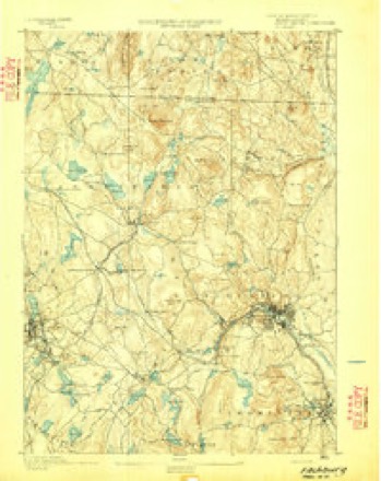
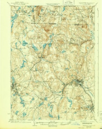
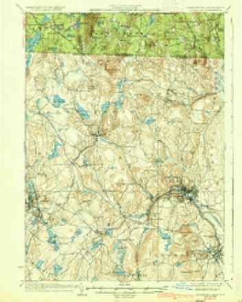
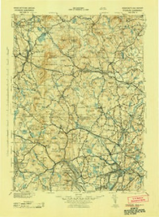
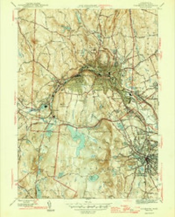
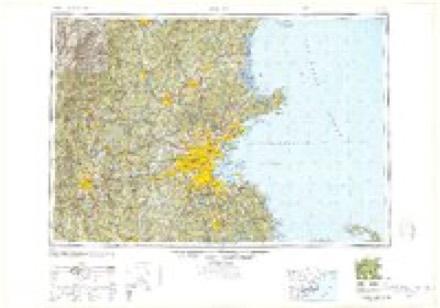
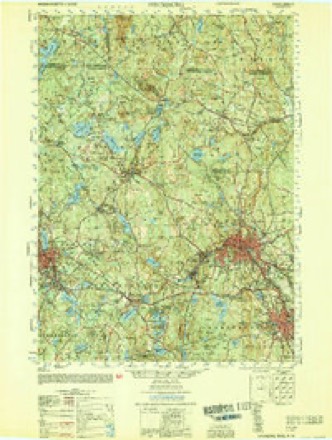
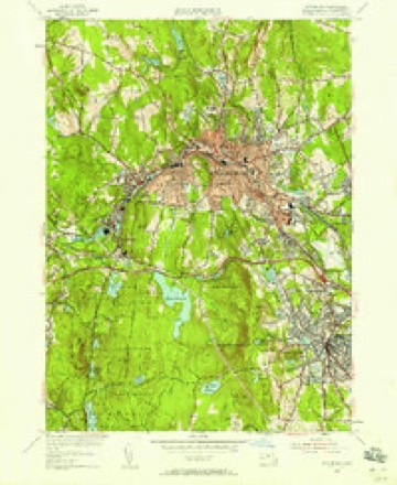
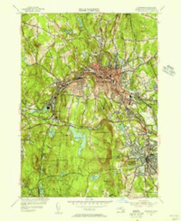
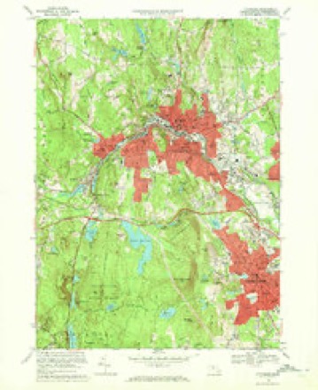
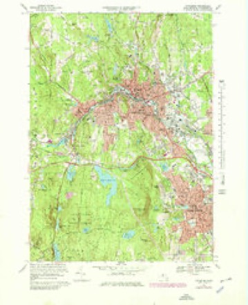
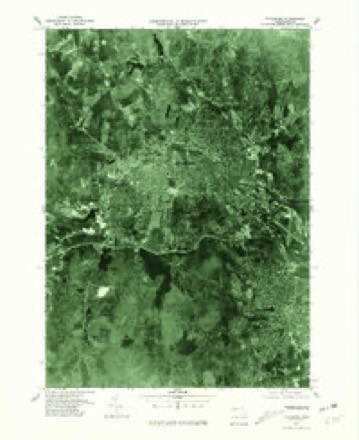
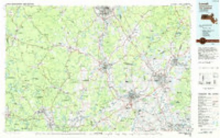
42 topographic sheets cover this place, the earliest surveyed in 1887 and the latest in 1988. It stands in Fitchburg City. It lies in ZIP code area 01420. It lies near Pine Hill. The Survey maps it on the Fitchburg quadrangle.
Then and now
1887 to 1988The same ground, surveyed 101 years apart. Drag the handle to wipe between them. Both sheets are United States Geological Survey originals; neither has been altered.
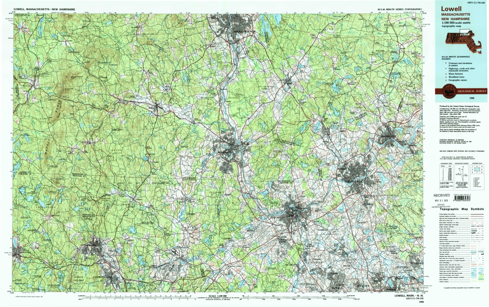
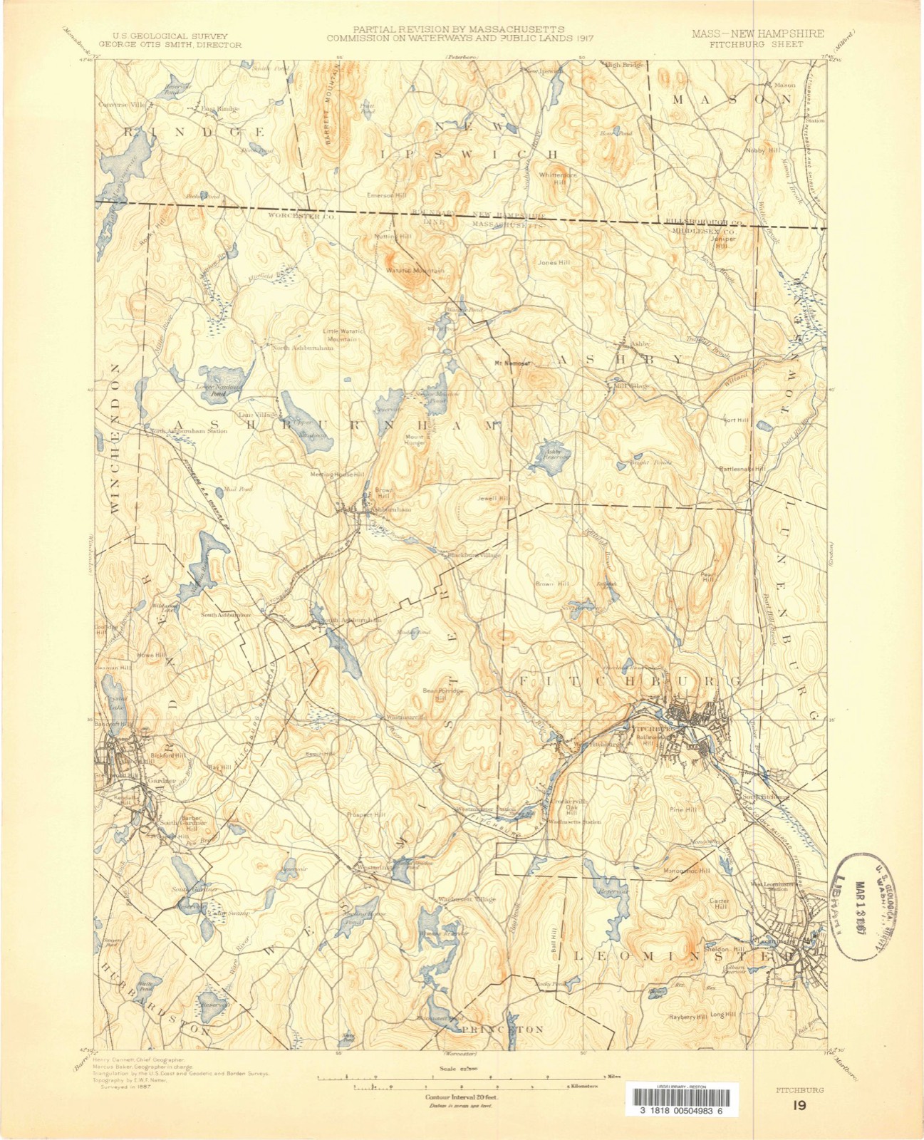
Topographic sheets covering this place
20 surveys from 42 printed sheetsMatched by testing this settlement's coordinate against the published boundary of every sheet in the United States Geological Survey's historical collection. Each opens the scanned sheet at the Survey.
- 1887 USGS Fitchburg quadrangle1:62500
- 1889 USGS Fitchburg quadrangle1:62500
- 1893 USGS Fitchburg quadrangle1:62500, 7 printings
- 1935 USGS Fitchburg quadrangle1:62500, 3 printings
- 1936 USGS Fitchburg quadrangle1:62500, 2 printings
- 1943 USGS Fitchburg quadrangle1:125000
- 1946 USGS Fitchburg quadrangle1:31680, 4 printings
- 1948 USGS Boston quadrangle1:250000, 2 printings
- 1953 USGS Fitchburg quadrangle1:50000
- 1954 USGS Fitchburg quadrangle1:24000, 2 printings
- 1954 USGS Fitchburg quadrangle1:31680
- 1956 USGS Boston quadrangle1:250000, 6 printings
- 1958 USGS Boston quadrangle1:250000, 2 printings
- 1961 USGS Boston quadrangle1:250000, 2 printings
- 1969 USGS Fitchburg quadrangle1:24000
- 1969 USGS Fitchburg quadrangle1:25000
- 1975 USGS Fitchburg quadrangle1:25000
- 1984 USGS Lowell quadrangle1:100000
- 1988 USGS Fitchburg quadrangle1:25000
- 1988 USGS Lowell quadrangle1:100000, 2 printings
In the county-history sources
34,814 words on this townshipHistory of Worcester County, Massachusetts, published 1889 names this settlement in its chapter on Fitchburg City. These are the passages that mention it, exactly as the scans read.
They accordingly purchased a piece of land in the southeastern part of the town, on the road to Leominster (now Water Street in South Fitchburg) and it has been used as a poor-farm since that time. In April of the next year it was voted to change the name of poor-house to that of work-house. May 5, 1828, it was voted " to build a reservoir for water on the common, with two pumps, at an expense not exceeding $50."
Passage source: History of Worcester County, Massachusetts, published 1889.
The town was now thoroughly awake on the subject of education. During the year ending March 1, 1850, over two thousand dollars were e.tpended for new school-houses in South Fitchburg and Crockerville and the addition to the Academy building, and about eleven hundred dollars for painting and repairing the old houses. The annual appropriation had risen to about four thousand dollars.
Passage source: History of Worcester County, Massachusetts, published 1889.
Machine-read from a century-old scan, so expect the errors a machine makes: misspelled names, dropped words, stray characters.
Fires near this place
181 since 2015Regional context, not property-specific evidence. The federal wildfire occurrence database lists 181 fires within 5 miles of South Fitchburg between 2015 and 2020, burning about 109 acres in total. 1 started naturally. 1 was recorded as arson. Distance is straight-line from the map coordinates, so a fire counted here may appear on a neighbouring settlement's page as well.
| Reported cause | Fires |
|---|---|
| Debris and open burning | 78 |
| Missing data/not specified/undetermined | 63 |
| Smoking | 26 |
| Recreation and ceremony | 6 |
| Power generation/transmission/distribution | 3 |
| Fireworks | 3 |
| Arson/incendiarism | 1 |
| Natural | 1 |
The most recent of them, most recent first, with the day each was reported and the service that recorded it.
| Date | Cause | Size | Reported by | Name on the report |
|---|---|---|---|---|
| 8 September 2015 | Missing data/not specified/undetermined | 1.0 acres | Massachusetts Bureau of Forest Fire Control | not named |
| 7 September 2016 | Missing data/not specified/undetermined | under an acre | Massachusetts Bureau of Forest Fire Control | not named |
| 5 September 2016 | Debris and open burning | under an acre | Massachusetts Bureau of Forest Fire Control | not named |
| 5 September 2015 | Missing data/not specified/undetermined | under an acre | Massachusetts Bureau of Forest Fire Control | not named |
| 4 September 2015 | Missing data/not specified/undetermined | under an acre | Massachusetts Bureau of Forest Fire Control | not named |
| 4 September 2015 | Missing data/not specified/undetermined | under an acre | Massachusetts Bureau of Forest Fire Control | not named |
| 3 September 2017 | Debris and open burning | under an acre | Massachusetts Bureau of Forest Fire Control | not named |
| 24 September 2020 | Missing data/not specified/undetermined | 3.4 acres | Massachusetts Bureau of Forest Fire Control | MONOOSNOC HILL |
Settlements close enough to share some of these fires:
Specimens collected near this place
12 of 862 shownRegional context, not property-specific evidence. Museums hold 862 specimens collected within 10 miles of South Fitchburg between 1870 and 1974: 341 Animalia, 330 Plantae, 173 Fungi, 9 Unrecorded, 6 Chromista, 3 Protozoa. 12 distinct Species records are shown. Collected by A. B. Seymour, A. C. Gibson, A. Ferrett and others. Each is a physical object with a catalogue number, and each entry opens the museum's record. This is what was collected and kept, not a survey of what lives here - nothing can be concluded from a species being absent.
| Image | Species | Year | Collected by | Where, as recorded |
|---|---|---|---|---|
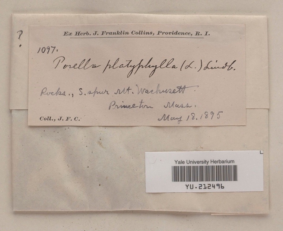 | Porella platyphylla (L.) Pfeiff. | 1895 | James F. Collins | South spur, Mount Wachusett |
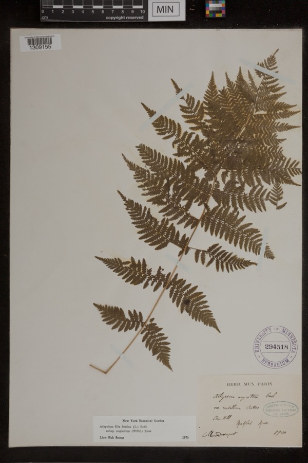 | Athyrium filix-femina subsp. angustum (Willd.) R.T.Clausen | 1900 | Davenport | Pine Hill; Medford |
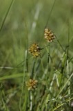 | Carex maritima Gunnerus | 1870 | J. W. Congdon | Wellville |
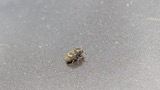 | Hylesinus aculeatus Say & T., 1824 | 1872 | unknown | Fitchburg |
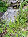 | Carex foenea Willd. | 1878 | W. Boott | Wachusett Mountain |
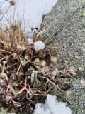 | Sibbaldiopsis tridentata (Aiton) Rydb. | 1879 | Bailey, W.W. | summit of Mt. Wachusett |
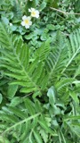 | Papaver orientale L. | 1880 | unknown | Townsend. |
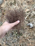 | Hypericum gentianoides (L.) Britton, Sterns & Poggenb. | 1881 | Fredrick L Sargent | Lunenburg |
| Nitella megacarpa (T.F.A.) R.D.W. | 1881 | T. F. Allen | Nashua River | |
| Arthuriomyces peckianus (Howe) Cummins & Y.Hirats. | 1892 | W. B. Hosmer | ||
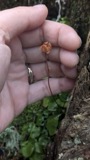 | Moneses uniflora (L.) A.Gray | 1893 | J. F. Collins | |
| Phyllosticta kalmicola (Schwein.) Ellis & Everh. | 1894 | H. L. Jones |
All 862 specimens within 10 miles, at the Global Biodiversity Information Facility.
Mines and quarries near this place
8 within 5 milesRegional context, not property-specific evidence. The federal mineral resources record lists 8 workings within 5 miles of South Fitchburg: 4 past producers, 2 occurrences, 1 producer, 1 unknown. 1 still produces. What was taken out: Sand and Gravel, Construction, Lithium, Tin, Tin, Lithium, Geothermal. Distance is straight-line from the map coordinates, so a quarry counted here may appear on a neighbouring settlement's page as well.
| Where | Site | Commodity | Status | Recorded |
|---|---|---|---|---|
| Fitchburg Area | Tin, Lithium | Occurrence | ||
| Keating Quarry & Mill | Stone, Crushed/Broken | Unknown | ||
| Leominster | Lithium, Tin | Occurrence | 1824 | |
| Leominster Pit | Geothermal | Past Producer | ||
| Luenburg Plant | Sand and Gravel, Construction | Producer | ||
| P J Keating | Sand and Gravel, Construction | Past Producer | Sedimentary | |
| Szocik Pit | Sand and Gravel, Construction | Past Producer | ||
| Tanzio Road Pit | Sand and Gravel, Construction | Past Producer |
Nearest settlements
The eight closest, with where each one stands in the county. Distances are straight-line, computed from the Geographic Names Information System coordinates.
| Map | Place | Distance | Sheets |
|---|---|---|---|
| Fitchburg | 1.7 miles | 42 | |
| West Leominster | 1.7 miles | 42 | |
| Whalom | 2.0 miles | 44 | |
| North Leominster | 2.9 miles | 44 | |
| Leominster | 3.0 miles | 42 | |
| West Fitchburg | 3.2 miles | 42 | |
| Wachusett Station | 3.3 miles | 42 | |
| Waites Corner | 3.6 miles | 42 |
Elsewhere
Matched on this settlement's Geographic Names Information System number rather than its name, so it cannot be a different place of the same name in another state.
| Wikidata item Q122563103 | The structured record the population and elevation above come from. Public domain (CC0). |
Provenance
This settlement is recorded in the Geographic Names Information System as feature 610415. The sheet list is computed by point-in-boundary test against the United States Geological Survey's historical topographic inventory. Both are works of the United States government and carry no copyright under 17 U.S.C. 105.
Wildfire. Short, Karen C. 2022. Spatial wildfire occurrence data for the United States, 1992-2020 [FPA_FOD_20221014]. 6th Edition. Fort Collins, CO: Forest Service Research Data Archive. https://doi.org/10.2737/RDS-2013-0009.6 Collected with United States Government funding and usable without additional permissions or fees.
Specimens. Global Biodiversity Information Facility (GBIF), https://www.gbif.org/. Only records licensed CC0 or CC BY are used. Records licensed CC BY-NC are excluded because this site carries advertising. Images are checked individually and any whose licence is non-commercial, no-derivatives or unreadable is refused.
Mines and quarries. USGS Mineral Resources Data System (MRDS) https://mrdata.usgs.gov/mrds/ A work of the United States government, no copyright under 17 U.S.C. 105.