 Block
Block
South Hamilton, Ohio
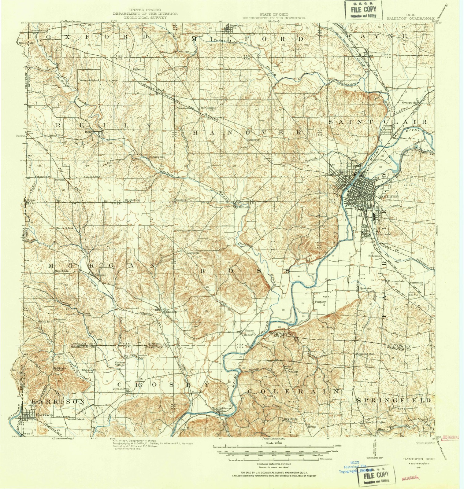
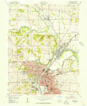
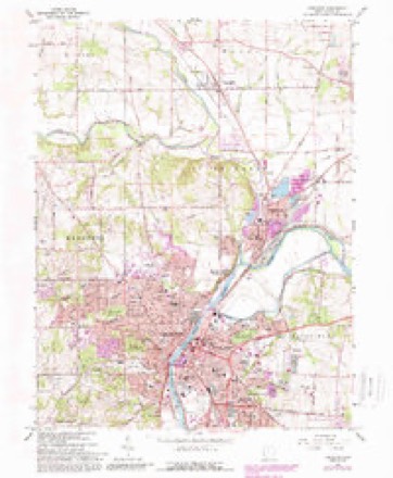
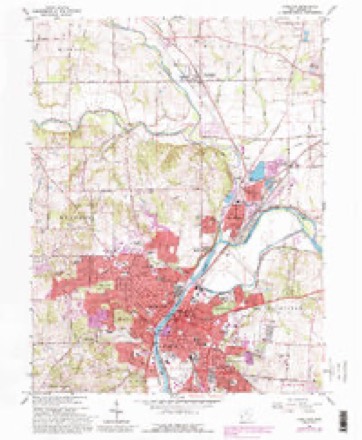
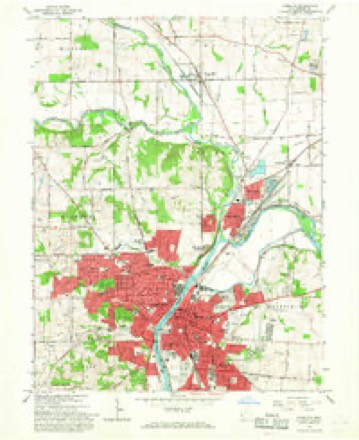
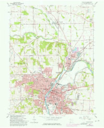
15 topographic sheets cover this place, the earliest surveyed in 1915 and the latest in 1986. It stands in Hamilton City. It lies in ZIP code area 45011. It stands on Crawford Run. The Survey maps it on the Hamilton quadrangle.
Then and now
1915 to 1986The same ground, surveyed 71 years apart. Drag the handle to wipe between them. Both sheets are United States Geological Survey originals; neither has been altered.

Topographic sheets covering this place
15 sheetsMatched by testing this settlement's coordinate against the published boundary of every sheet in the United States Geological Survey's historical collection. Each opens the scanned sheet at the Survey.
- 1915 USGS Hamilton quadrangle1:62500
- 1915 USGS Hamilton quadrangle1:62500
- 1917 USGS Hamilton quadrangle1:62500
- 1953 USGS Cincinnati quadrangle1:250000
- 1953 USGS Cincinnati quadrangle1:250000
- 1953 USGS Cincinnati quadrangle1:250000
- 1955 USGS Hamilton quadrangle1:24000
- 1957 USGS Cincinnati quadrangle1:250000
- 1965 USGS Hamilton quadrangle1:24000
- 1965 USGS Hamilton quadrangle1:24000
- 1965 USGS Hamilton quadrangle1:24000
- 1965 USGS Hamilton quadrangle1:24000
- 1986 USGS Cincinnati quadrangle1:100000
- 1986 USGS Cincinnati quadrangle1:100000
- 1986 USGS Cincinnati quadrangle1:100000







In the county-history sources
179,514 words on this townshipA History and Biographical Cyclopædia of Butler County, Ohio : with Illustrations and Sketches of Its Representative Men and Pioneers, published 1882 names this settlement in its chapter on Hamilton City. These are the passages that mention it, exactly as the scans read.
The Rev. Arthur W. Elliott was the most famous of the early Methodist preachers in this county. Although _ others preceded him, he was the contemporary of those who made the beginnings and first uttered the Word of God to the hardy pioneers of this county. He was born in the county of Baltimore, in the State of Maryland, on the 22d of February, 1784. At the age of eighteen, moved by the spirit of adventure, he fell in with the tide of emigration, just then beginning to set powerfully toward the great Northwest Territory. On horseback he crossed the Alleghanies, and continued his course westward until he reached the Miami Valley, where he determined to make his future home. He went back to Maryland soon after, where he was married in 1804, and in the year 1805 returned, settling in Liberty Township. Here he remained for many years.
Passage source: A History and Biographical Cyclopædia of Butler County, Ohio : with Illustrations and Sketches of Its Representative Men and Pioneers, published 1882.
Machine-read from a century-old scan, so expect the errors a machine makes: misspelled names, dropped words, stray characters.
Specimens collected near this place
12 of 465 shownRegional context, not property-specific evidence. Museums hold 465 specimens collected within 10 miles of South Hamilton between 1835 and 1975: 404 Animalia, 47 Plantae, 11 Fungi, 2 Protozoa, 1 Unrecorded. 12 distinct Species records are shown. Collected by A. R. Gaufin, A.R. Gaufin, H.H. Ross, Arden R. Gaufin and others. Each is a physical object with a catalogue number, and each entry opens the museum's record. This is what was collected and kept, not a survey of what lives here - nothing can be concluded from a species being absent.
| Image | Species | Year | Collected by | Where, as recorded |
|---|---|---|---|---|
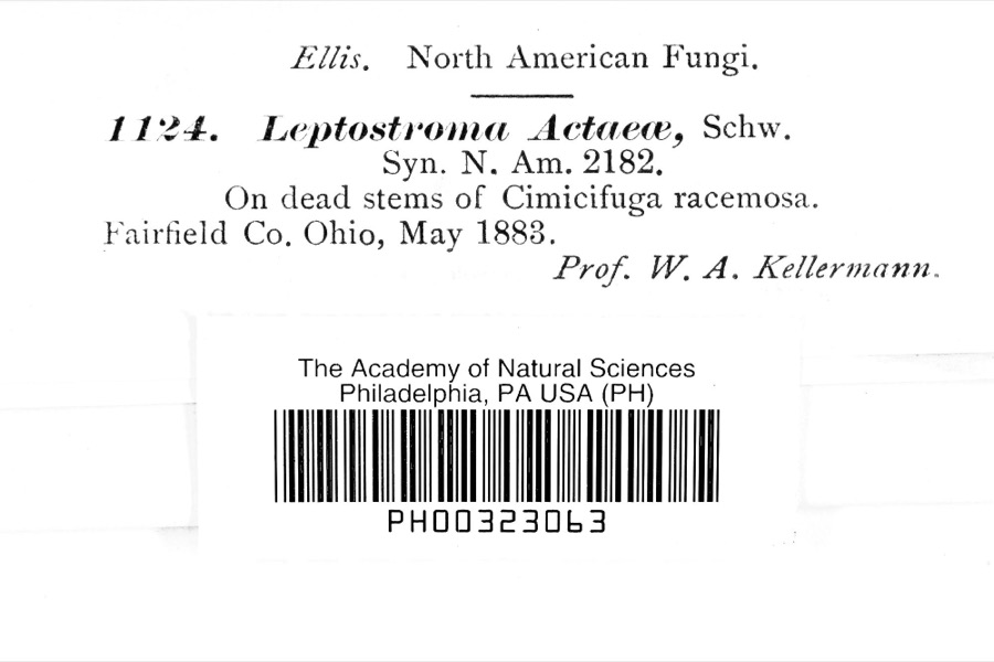 | Leptostromataceae | 1883 | Prof. W. A. Kellerman | |
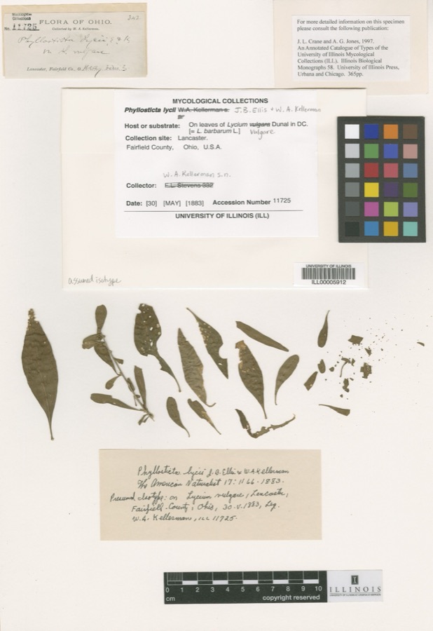 | Phyllosticta Pers., 1818 | 1883 | W. A. Kellerman | Lancaster. |
 | Carex careyana Torr. ex Dewey | 1835 | Collector unknown | In ditione "Miami" civitatis Ohio. |
| Carex convoluta Mack. | 1835 | Collector unspecified | "Miami" | |
 | Carex gracillima Schwein. | 1835 | B. Frank | In ditione "Miami" civitatis Ohio. |
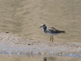 | Calidris melanotos (Vieillot, 1819) | 1879 | W. Douglass | Jones Station |
 | Coluber constrictor Linnaeus, 1758 | 1879 | not recorded | Hughes |
 | Diadophis punctatus arnyi Kennicott, 1859 | 1879 | not recorded | Hughes |
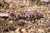 | Lampropeltis triangulum (Lacépède, 1789) | 1879 | not recorded | Hughes |
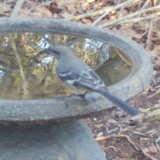 | Mimus polyglottos (Linnaeus, 1758) | 1879 | Porter collection, J.B. | LOCNM: Jones |
 | Spiza americana (J.F.Gmelin, 1789) | 1879 | Porter, J.B. | |
 | Storeria dekayi (Holbrook, 1839) | 1879 | not recorded | Hughes |
All 465 specimens within 10 miles, at the Global Biodiversity Information Facility.
Mines and quarries near this place
10 of 16 shownRegional context, not property-specific evidence. The federal mineral resources record lists 16 workings within 5 miles of South Hamilton: 7 past producers, 5 producers, 2 plants, 2 unknowns. 7 still produce. What was taken out: Sand and Gravel, Construction, Iron. Distance is straight-line from the map coordinates, so a quarry counted here may appear on a neighbouring settlement's page as well.
| Where | Site | Commodity | Status | Recorded |
|---|---|---|---|---|
| Armco Inc/ Hamilton, Ohio | Iron | Unknown | ||
| Aggregate Services Pit | Sand and Gravel, Construction | Producer | ||
| American Materials/ Hamilton, Ohio | Sand and Gravel, Construction | Unknown | ||
| Fairfield Pit | Sand and Gravel, Construction | Past Producer | ||
| Fairfield Plant No. 10 & Pit | Sand and Gravel, Construction | Plant | ||
| Fairfield Plant Number 10 and Pit | Sand and Gravel, Construction | Past Producer | Sedimentary | |
| Hilltop Pit | Sand and Gravel, Construction | Producer | ||
| Indian Creek Sand & Gravel Pit | Sand and Gravel, Construction | Producer | ||
| New Miami Pit | Sand and Gravel, Construction | Past Producer | Sedimentary | |
| New Miami Pit | Sand and Gravel, Construction | Past Producer |
Nearest settlements
The eight closest, with where each one stands in the county. Distances are straight-line, computed from the Geographic Names Information System coordinates.
| Map | Place | Distance | Sheets |
|---|---|---|---|
| Lindenwald | 0.7 miles | 16 | |
| Sharon Park | 0.8 miles | 15 | |
| East Hamilton | 0.9 miles | 15 | |
| Griesmer Addition | 1.1 miles | 16 | |
| Dixiedale | 1.2 miles | 16 | |
| Hamilton | 1.2 miles | 15 | |
| Columbia Heights | 1.3 miles | 15 | |
| Ixworth (historical) | 1.3 miles | 16 |
Provenance
This settlement is recorded in the Geographic Names Information System as feature 1069280. The sheet list is computed by point-in-boundary test against the United States Geological Survey's historical topographic inventory. Both are works of the United States government and carry no copyright under 17 U.S.C. 105.
Specimens. Global Biodiversity Information Facility (GBIF), https://www.gbif.org/. Only records licensed CC0 or CC BY are used. Records licensed CC BY-NC are excluded because this site carries advertising. Images are checked individually and any whose licence is non-commercial, no-derivatives or unreadable is refused.
Mines and quarries. USGS Mineral Resources Data System (MRDS) https://mrdata.usgs.gov/mrds/ A work of the United States government, no copyright under 17 U.S.C. 105.