 Block
Block
Hamilton, Ohio
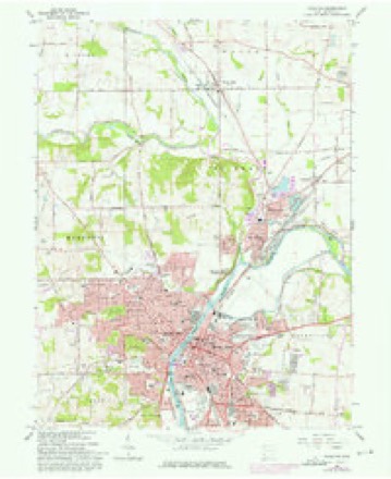
15 topographic sheets cover this place, the earliest surveyed in 1915 and the latest in 1986. It stands in Hamilton City. It lies in ZIP code area 45011. It stands on Twomile Creek. The Survey maps it on the Hamilton quadrangle. 63,399 people lived here at the 2020 count. It stands 594 feet above sea level.
Research this city
This curated hub for Butler County, Ohio brings together the page's documented record links, visible map or image evidence where published, and routes to related local records.
What is documented here?
Use the page's provenance and linked records to distinguish the source material from the site's navigation and summaries.
How should I cite it?
Open the original record, preserve its repository and identifier, then use the citation tool for this page as a path back to the source.
Where should I go next?
Follow the county or state hub for related places and records, then use the guide for a source-aware research sequence.
Population over time
2 figuresHamilton grew from 62,477 to 63,399 between 2010 and 2020. These are the recorded population figures Wikidata holds for this place, reached through the Geographic Names Information System number this page is keyed on rather than by name, so they belong to this place and not to another of the same name. Most are census counts, but not all are: an early figure may be a founding or settlement estimate. The change column is computed, and is left blank where more than 20 years separate a figure from the one before it, because a gap that long is not a change between two counts.
| Year | People | Change |
|---|---|---|
| 2010 | 62,477 | |
| 2020 | 63,399 | +922 (+1%) |
Then and now
1915 to 1986The same ground, surveyed 71 years apart. Drag the handle to wipe between them. Both sheets are United States Geological Survey originals; neither has been altered.

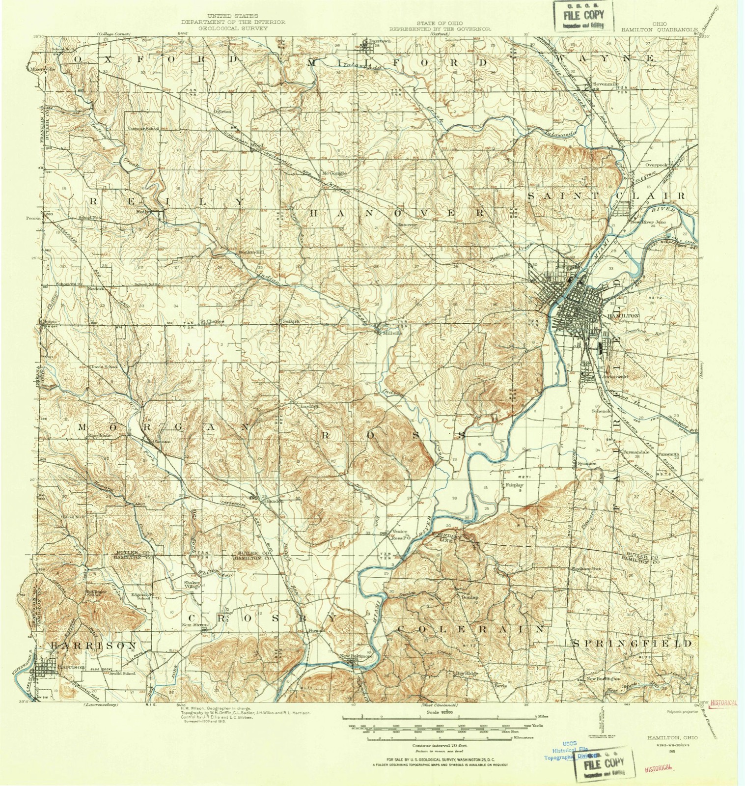
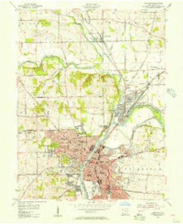
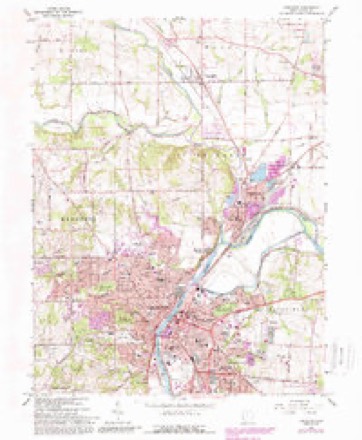
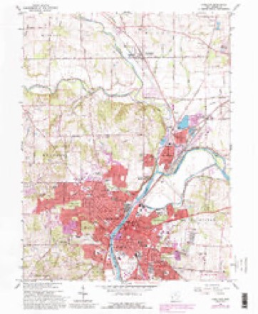
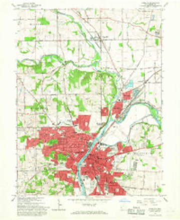
Topographic sheets covering this place
15 sheetsMatched by testing this settlement's coordinate against the published boundary of every sheet in the United States Geological Survey's historical collection. Each opens the scanned sheet at the Survey.
- 1915 USGS Hamilton quadrangle1:62500
- 1915 USGS Hamilton quadrangle1:62500
- 1917 USGS Hamilton quadrangle1:62500
- 1953 USGS Cincinnati quadrangle1:250000
- 1953 USGS Cincinnati quadrangle1:250000
- 1953 USGS Cincinnati quadrangle1:250000
- 1955 USGS Hamilton quadrangle1:24000
- 1957 USGS Cincinnati quadrangle1:250000
- 1965 USGS Hamilton quadrangle1:24000
- 1965 USGS Hamilton quadrangle1:24000
- 1965 USGS Hamilton quadrangle1:24000
- 1965 USGS Hamilton quadrangle1:24000
- 1986 USGS Cincinnati quadrangle1:100000
- 1986 USGS Cincinnati quadrangle1:100000
- 1986 USGS Cincinnati quadrangle1:100000







In the county-history sources
179,514 words on this townshipA History and Biographical Cyclopaedia of Butler County, Ohio, with Illustrations and Sketches of Its Representative Men and Pioneers, published 1882 names this settlement in its chapter on Hamilton City. These are the passages that mention it, exactly as the scans read.
Doctor Daniel Millikin, the only physician in the place, lived in a house on the bank of the river, above Major Murray's Tavern. In the same neighborhood also lived James Heaton, Isaac Wiles, George Snyder, William Herbert, and George Harlan, with, perhaps, some others.
Passage source: A History and Biographical Cyclopaedia of Butler County, Ohio, with Illustrations and Sketches of Its Representative Men and Pioneers, published 1882.
William Carry, the only lawyer in the place, kept his office in the same building with the clerk of the court. Several other lawyers, however, regularly attended the courts at Hamilton. At that time, nearly all that part of Hamilton lying east of Front Street was an impenetrable thicket, covered with small, scrubby oaks, blackjacks, vines, and hazel bushes. True, paths and roads were in some places cut through them, to admit a free passage, but, aside from these, underbrush was so thick that it was only in some places a person could make his way through them, or see a rabbit at the distance of a few paces. This was then the case from Sutherland's Corner to the Hamilton Hotel, and eastwardly to where the canal now is, and southwardly as far as the town lots extend.
Passage source: A History and Biographical Cyclopaedia of Butler County, Ohio, with Illustrations and Sketches of Its Representative Men and Pioneers, published 1882.
At that time it was common to meet with Indians in the streets of Hamilton almost every day, who came to trade their furs and peltries with the storekeepers. In 1808 a band of seventy or eighty Indians encamped in the lower part of Rossville, and remained more than a week. When they got liquor they frequently became intoxicated, and were then, very troublesome. One night, when a number of them were intoxicated, Mr. McBride took a seat on the bank of the river, concealed from their view, and remained a considerable time, watching the squaws taking the drunken Indians across the river, at the ford opposite the lower part of the town, to their camp, on the other side of the river. Two squaws would take hold of an Indian, one on each side, and conduct him across the stream, singing a slow, monotonous song as they waded through the water.
Passage source: A History and Biographical Cyclopaedia of Butler County, Ohio, with Illustrations and Sketches of Its Representative Men and Pioneers, published 1882.
Machine-read from a century-old scan, so expect the errors a machine makes: misspelled names, dropped words, stray characters.
Read the whole chapter on Hamilton City - it names this place 575 more 575 times.
Photographs
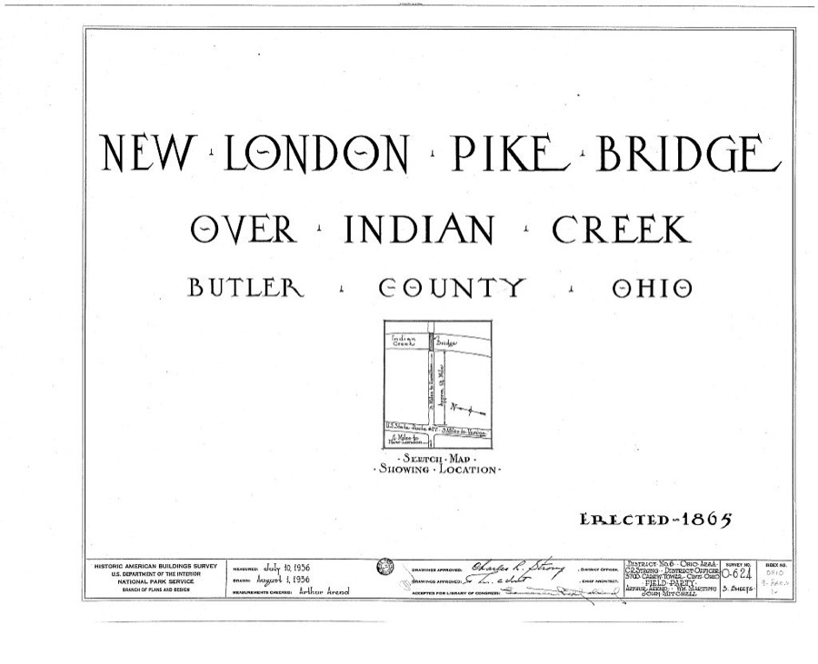
1 photograph,Taken for the Office of War Information and the Farm Security Administration, who photographed the country between 1935 and 1944. Works of United States government photographers, with no known restriction on use. Each opens its catalogue record.
Unattributed, . Library of Congress
Specimens collected near this place
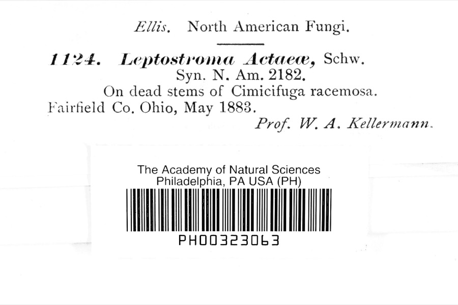
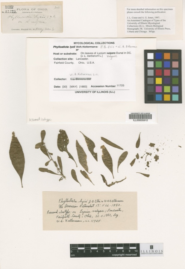
12 of 467 shownRegional context, not property-specific evidence. Museums hold 467 specimens collected within 10 miles of Hamilton between 1835 and 1975: 404 Animalia, 47 Plantae, 13 Fungi, 2 Protozoa, 1 Unrecorded. 12 distinct Species records are shown. Collected by A. R. Gaufin, A.R. Gaufin, H.H. Ross, Arden R. Gaufin and others. Each is a physical object with a catalogue number, and each entry opens the museum's record. This is what was collected and kept, not a survey of what lives here - nothing can be concluded from a species being absent.
| Image | Species | Year | Collected by | Where, as recorded |
|---|---|---|---|---|
 | Leptostromataceae | 1883 | Prof. W. A. Kellerman | |
 | Phyllosticta Pers., 1818 | 1883 | W. A. Kellerman | Lancaster. |
 | Carex careyana Torr. ex Dewey | 1835 | Collector unknown | In ditione "Miami" civitatis Ohio. |
| Carex convoluta Mack. | 1835 | Collector unspecified | "Miami" | |
 | Carex gracillima Schwein. | 1835 | B. Frank | In ditione "Miami" civitatis Ohio. |
 | Calidris melanotos (Vieillot, 1819) | 1879 | W. Douglass | Jones Station |
 | Coluber constrictor Linnaeus, 1758 | 1879 | not recorded | Hughes |
 | Diadophis punctatus arnyi Kennicott, 1859 | 1879 | not recorded | Hughes |
 | Lampropeltis triangulum (Lacépède, 1789) | 1879 | not recorded | Hughes |
 | Mimus polyglottos (Linnaeus, 1758) | 1879 | Porter collection, J.B. | LOCNM: Jones |
 | Spiza americana (J.F.Gmelin, 1789) | 1879 | Porter, J.B. | |
 | Storeria dekayi (Holbrook, 1839) | 1879 | not recorded | Hughes |
All 467 specimens within 10 miles, at the Global Biodiversity Information Facility.
Mines and quarries near this place
10 of 13 shownRegional context, not property-specific evidence. The federal mineral resources record lists 13 workings within 5 miles of Hamilton: 5 past producers, 4 producers, 2 plants, 2 unknowns. 6 still produce. What was taken out: Sand and Gravel, Construction, Iron. Distance is straight-line from the map coordinates, so a quarry counted here may appear on a neighbouring settlement's page as well.
| Where | Site | Commodity | Status | Recorded |
|---|---|---|---|---|
| Armco Inc/ Hamilton, Ohio | Iron | Unknown | ||
| Aggregate Services Pit | Sand and Gravel, Construction | Producer | ||
| American Materials/ Hamilton, Ohio | Sand and Gravel, Construction | Unknown | ||
| Fairfield Pit | Sand and Gravel, Construction | Past Producer | ||
| Fairfield Plant No. 10 & Pit | Sand and Gravel, Construction | Plant | ||
| Fairfield Plant Number 10 and Pit | Sand and Gravel, Construction | Past Producer | Sedimentary | |
| Hamilton Plant #710 | Sand and Gravel, Construction | Producer | ||
| Hilltop Pit | Sand and Gravel, Construction | Producer | ||
| New Miami Pit | Sand and Gravel, Construction | Past Producer | Sedimentary | |
| New Miami Pit | Sand and Gravel, Construction | Past Producer |
Storms near this place
60 of 63 shownRegional context, not property-specific evidence. The National Weather Service names Hamilton in 63 storm reports between 1995 and 2022: 26 thunderstorm wind, 23 hail, 13 flash flood, 1 flood. The reports record 2 injuries. Each account below is quoted exactly as the forecast office filed it, from the NOAA Storm Events Database, and each date opens the federal record of that event.
| When | Event | Place named | Harm | What the report says |
|---|---|---|---|---|
| July 1996 | Thunderstorm Wind | Hamilton | 2 hurt, $4,000 | no account filed |
| June 2009 | Flash Flood | Hamilton | $95,000 | Twenty-five homes had water in them with some of the water upwards of three feet deep. Roads were flooded countywide. |
| August 2002 | Thunderstorm Wind | Hamilton | $60,000 | Several buildings at the Butler County Regional Airport sustained structural and roof damage. A classic plane was also destroyed. |
| May 2022 | Flash Flood | Hamilton | $50,000 | Several basements were flooded along South Erie Boulevard. |
| June 2016 | Flash Flood | Hamilton | $30,000 | Street flooding occurred along Western Avenue and several other roadways in the Highland Park neighborhood of Hamilton. Water was as deep as 3 feet in some locations. |
| July 2000 | Thunderstorm Wind | Hamilton | $30,000 | Hundreds of trees and some power lines were downed. Some of the trees fell across State Route 4, to the southeast of Hamilton. Power was out to around 30,000 customers shortly after the storm. |
| June 2016 | Flash Flood | Hamilton | $25,000 | Flash flooding, several feet deep, occurred at several intersections in Hamilton, including Main St. and Lawn St., Franklin St. and Edgewood St., and Eaton St. and Rhea St. |
| May 2022 | Thunderstorm Wind | Hamilton | $10,000 | A few trees and power poles were downed on Woodford Street and Liberty Avenue. A car was also damaged. |
| July 1998 | Thunderstorm Wind | Hamilton | $10,000 | Many trees downed. |
| June 2008 | Hail | Hamilton | $8,000 | no account filed |
| July 2019 | Flash Flood | Hamilton | $5,000 | High water was reported on several roads in Hamilton and a few roads in Fairfield Township. Water on Dayton Street was up to the door handles of cars. |
| June 2016 | Flash Flood | Hamilton | $5,000 | Water was reported inside a home at 18 N Washington Blvd. |
| June 2016 | Flash Flood | Hamilton | $5,000 | Water was reported inside a home at 724 Milikin St. |
| June 2016 | Flash Flood | Hamilton | $5,000 | Flooding of structures was reported near 94 Milikin St. |
| June 2012 | Thunderstorm Wind | Hamilton | $5,000 | A brick chimney was blown off a house due to thunderstorm winds. |
| July 2012 | Thunderstorm Wind | Hamilton | $5,000 | Scattered trees were downed across the eastern portions of Butler County due to damaging thunderstorm winds. |
| March 2007 | Flood | Hamilton | $5,000 | Warwick Road was washed out. |
| April 2000 | Thunderstorm Wind | Hamilton | $5,000 | Numerous trees and large limbs downed. |
| May 2007 | Thunderstorm Wind | Hamilton | $4,000 | Numerous trees and power poles were downed across eastern portions of the county. |
| May 1995 | Thunderstorm Wind | Hamilton | $4,000 | Trees were downed into power lines and across roads, causing 600 people to lose power. |
| July 2019 | Thunderstorm Wind | Hamilton | $3,000 | A few trees and power lines were downed. |
| June 2005 | Thunderstorm Wind | Hamilton | $3,000 | A few trees were downed on the west side of town. |
| July 2003 | Thunderstorm Wind | Hamilton | $3,000 | Trees and powerlines were downed. |
| July 2001 | Thunderstorm Wind | Hamilton | $3,000 | Trees knocked down by thunderstorm winds. |
| June 1998 | Thunderstorm Wind | Hamilton | $3,000 | Trees downed. |
| September 2022 | Thunderstorm Wind | Hamilton | $2,000 | A couple of trees were downed between Fairfield and Hamilton. |
| June 2012 | Thunderstorm Wind | Hamilton | $2,000 | Two large trees were downed due to damaging thunderstorm winds. |
| June 2008 | Thunderstorm Wind | Hamilton | $2,000 | Two trees were downed. |
| July 2003 | Thunderstorm Wind | Hamilton | $2,000 | Large limbs were knocked down. |
| April 2019 | Thunderstorm Wind | Hamilton | $1,000 | A 20 foot tall tree with a one to two foot base fell down. |
| May 2017 | Thunderstorm Wind | Hamilton | $1,000 | A tree was downed along Dayton Street. |
| July 2013 | Flash Flood | Hamilton | $1,000 | Main Street and Millville Avenue were closed due to several feet of high water caused by heavy rainfall. |
| June 2010 | Thunderstorm Wind | Hamilton | $1,000 | A tree and large tree limbs were reported down due to damaging thunderstorm winds. |
| August 2010 | Thunderstorm Wind | Hamilton | $1,000 | Trees were reported down due to damaging thunderstorm winds. |
| November 2007 | Hail | Hamilton | $1,000 | no account filed |
| April 2017 | Flash Flood | Hamilton | - | Flooding was reported along and near Main St. in Hamilton. |
| September 2016 | Flash Flood | Hamilton | - | There were several reports of high water in Hamilton with street flooding as deep as 12 inches. |
| June 2009 | Hail | Hamilton | - | Trees were also reported down in Saint Clair Township. |
| June 2009 | Thunderstorm Wind | Hamilton | - | Small trees and large limbs were blown down on the bypass to State Route 4. |
| April 2006 | Flash Flood | Hamilton | - | Several roads in Liberty Township were flooded. |
| May 2002 | Flash Flood | Hamilton | - | Gregory Creek went out of its banks, causing high water to cover several city streets. |
| November 1998 | Thunderstorm Wind | Hamilton | - | A wind gust of 60 mph was recorded. |
| July 1997 | Thunderstorm Wind | Hamilton | - | An observer reported a wind gust to 60 mph. |
| April 2020 | Hail | Hamilton | - | no account filed |
| April 2020 | Hail | Hamilton | - | no account filed |
| March 2017 | Hail | Hamilton | - | no account filed |
| July 2017 | Hail | Hamilton | - | no account filed |
| October 2014 | Hail | Hamilton | - | no account filed |
| April 2013 | Hail | Hamilton | - | no account filed |
| April 2012 | Hail | Hamilton | - | no account filed |
| March 2011 | Hail | Hamilton | - | no account filed |
| April 2011 | Hail | Hamilton | - | no account filed |
| May 2011 | Hail | Hamilton | - | no account filed |
| May 2011 | Hail | Hamilton | - | no account filed |
| June 2010 | Hail | Hamilton | - | no account filed |
| August 2010 | Hail | Hamilton | - | no account filed |
| June 2009 | Hail | Hamilton | - | no account filed |
| June 2009 | Hail | Hamilton | - | no account filed |
| June 2009 | Hail | Hamilton | - | no account filed |
| April 2006 | Hail | Hamilton | - | no account filed |
Newspapers printed here
0 digitised pages1 paper published in this town, digitised by the Library of Congress and free to read: 0 issues, 0 pages. Every page is searchable, so a name or a street can be looked for directly in what the town printed about itself at the time.
| Newspaper | Published |
|---|---|
| The Butler County Press | 1900 to 1946 |
What the paper printed
7,439 wordsFront pages of the local paper, read from the Library of Congress scans: 6 issues spread across its run from 1913 to 1946, 7,439 words in total. Each is reproduced on its own page, exactly as the recogniser returned it.
These pages read less well than anything else here, and the number is worth stating: about three words in four come through cleanly, against nine in ten for the building records. An 1896 broadsheet sets eight-point type in seven columns on microfilm, which is the hardest thing in this archive to read by machine. We tested our own recognisers against the Library's and they were not better, so the Library's text is what appears, with the wholly unreadable columns removed. Read it as a guide to what the paper covered, and follow the link to the scan before quoting anything.
| Issue | Paper | Length |
|---|---|---|
| 1913-04-18 | The Butler County Press | 1,309 words |
| 1913-06-06 | The Butler County Press | 1,190 words |
| 1913-08-01 | The Butler County Press | 1,340 words |
| 1913-09-19 | The Butler County Press | 1,504 words |
| 1913-11-14 | The Butler County Press | 1,299 words |
| 1946-08-30 | The Butler County Press | 797 words |
Nearest settlements
The eight closest, with where each one stands in the county. Distances are straight-line, computed from the Geographic Names Information System coordinates.
| Map | Place | Distance | Sheets |
|---|---|---|---|
| River View | 0.9 miles | 15 | |
| Forest Hills | 1.0 miles | 15 | |
| Lawn Park | 1.1 miles | 15 | |
| Warwickshire | 1.1 miles | 15 | |
| Grand View | 1.2 miles | 15 | |
| South Hamilton | 1.2 miles | 15 | |
| Columbia Heights | 1.3 miles | 15 | |
| Sharon Park | 1.4 miles | 15 |
Elsewhere
Matched on this settlement's Geographic Names Information System number rather than its name, so it cannot be a different place of the same name in another state.
| Wikipedia article on Hamilton | An encyclopaedic summary. Its text is share-alike, so it is linked here rather than copied. |
| Wikidata item Q852673 | The structured record the population and elevation above come from. Public domain (CC0). |
Provenance
This settlement is recorded in the Geographic Names Information System as feature 1064784. The sheet list is computed by point-in-boundary test against the United States Geological Survey's historical topographic inventory. Both are works of the United States government and carry no copyright under 17 U.S.C. 105.
Specimens. Global Biodiversity Information Facility (GBIF), https://www.gbif.org/. Only records licensed CC0 or CC BY are used. Records licensed CC BY-NC are excluded because this site carries advertising. Images are checked individually and any whose licence is non-commercial, no-derivatives or unreadable is refused.
Mines and quarries. USGS Mineral Resources Data System (MRDS) https://mrdata.usgs.gov/mrds/ A work of the United States government, no copyright under 17 U.S.C. 105.
Storms. NOAA National Centers for Environmental Information, Storm Events Database https://www.ncei.noaa.gov/stormevents/ A work of the United States government, no copyright under 17 U.S.C. 105. Narratives are quoted verbatim from the National Weather Service report and are not edited or summarised.