 Block
Block
South Lorain, Ohio
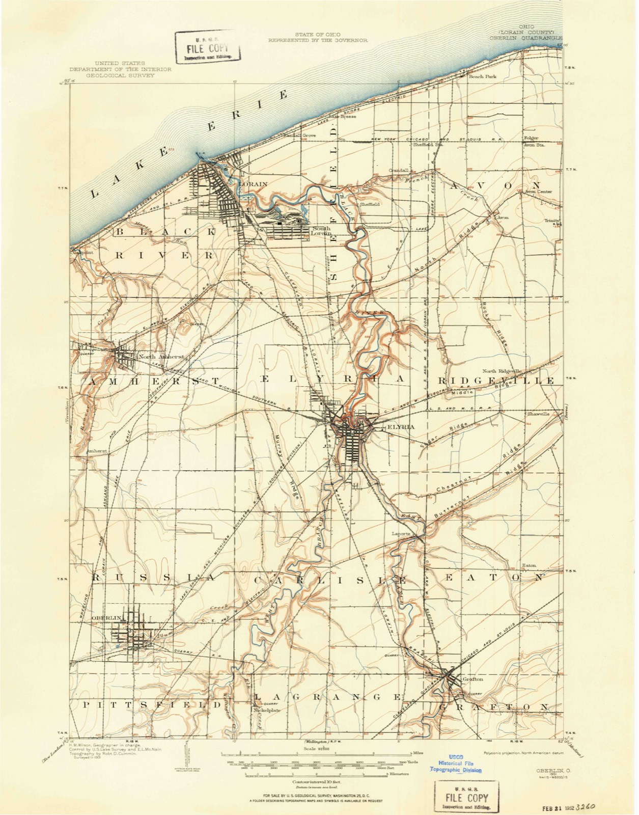
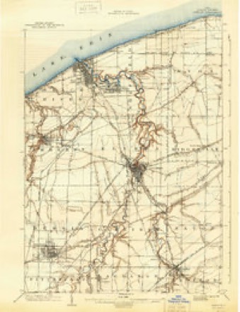
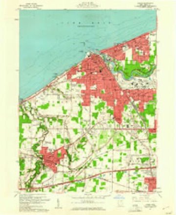
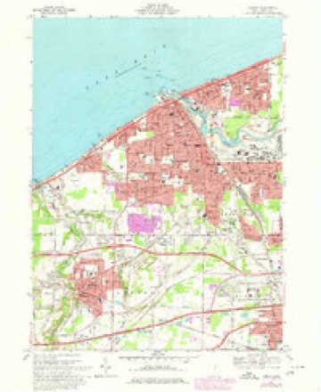
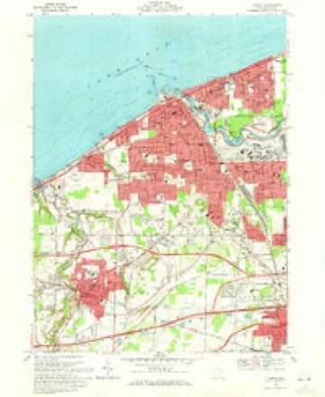
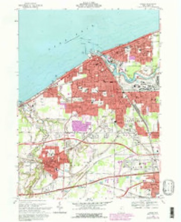
15 topographic sheets cover this place, the earliest surveyed in 1901 and the latest in 1986. It stands in Lorain City. It lies in ZIP code area 44055. The Survey maps it on the Lorain quadrangle.
Then and now
1901 to 1986The same ground, surveyed 85 years apart. Drag the handle to wipe between them. Both sheets are United States Geological Survey originals; neither has been altered.

Compare 1901 against another survey:
Topographic sheets covering this place
15 sheetsMatched by testing this settlement's coordinate against the published boundary of every sheet in the United States Geological Survey's historical collection. Each opens the scanned sheet at the Survey.
- 1901 USGS Oberlin quadrangle1:62500
- 1901 USGS Oberlin quadrangle1:62500
- 1901 USGS Oberlin quadrangle1:62500
- 1903 USGS Oberlin quadrangle1:62500
- 1956 USGS Toledo quadrangle1:250000
- 1956 USGS Toledo quadrangle1:250000
- 1956 USGS Toledo quadrangle1:250000
- 1956 USGS Toledo quadrangle1:250000
- 1960 USGS Lorain quadrangle1:24000
- 1961 USGS Toledo quadrangle1:250000
- 1969 USGS Lorain quadrangle1:24000
- 1969 USGS Lorain quadrangle1:24000
- 1969 USGS Lorain quadrangle1:24000
- 1986 USGS Lorain quadrangle1:100000
- 1986 USGS Lorain quadrangle1:100000







What happened here
An account from the chapter on Lorain city, in the words of 1879.
Game
Game of the smaller kinds was very abundant before the hunters became too numerous. It cannot be positively stated that any old bears were killed in the township after the settlement was begun; but there is a vague tradition to the effect that Solomon Root and Joseph Ross once found two in a whitewood tree in the southwest part of the town, and killed them.
Specimens collected nearby
12 of 1,096 shownMuseums hold 1,096 specimens collected within 10 miles of South Lorain between 1853 and 1975: 693 Animalia, 315 Fungi, 78 Plantae, 6 Unrecorded, 4 Protozoa. 12 distinct Species records are shown. Collected by ?, A. A. Wright, A. E. Ricksecker and others. Each is a physical object with a catalogue number, and each entry opens the museum's record. This is what was collected and kept, not a survey of what lives here - nothing can be concluded from a species being absent.
| Image | Species | Year | Collected by | Where, as recorded |
|---|---|---|---|---|
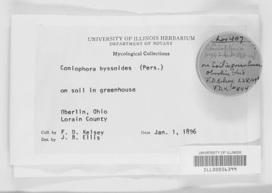 | Coniophora byssoides (Pers.) P.Karst. | 1896 | F. D. Kelsey | Oberlin. |
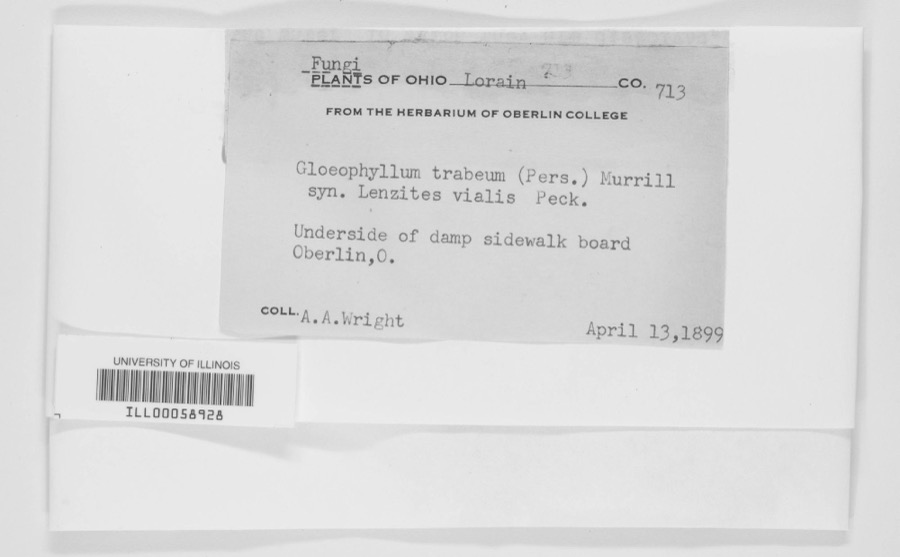 | Gloeophyllum trabeum (Pers.) Murrill | 1899 | A. A. Wright | Oberlin. |
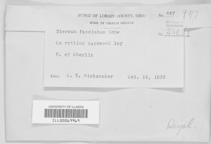 | Stereum fasciatum (Schwein.) Fr. | 1899 | A. E. Ricksecker | N. of Oberlin |
 | Ammocrypta pellucida (Putnam, 1863) | 1853 | Baird, Spencer Fullerton | Black River, below falls at Elyria, Ohio |
 | Etheostoma blennioides Rafinesque, 1819 | 1853 | S. Baird | Black River Elgria Ohio (above falls) |
 | Etheostoma caeruleum Storer, 1845 | 1853 | S. Baird | Elyria, Ohio |
 | Etheostoma maculatum Kirtland, 1840 | 1853 | S. Baird | Elyria, Ohio |
| Aecidium nesaeae W.R.Gerard | 1894 | Kelsey, F.D. | Lorain County, Ohio | |
 | Ammodramus savannarum pratensis (Vieillot, 1818) | 1894 | Jones, L. (Lynds) | Oberlin Field W of Athletic Park, Lorain, Ohio, USA |
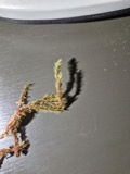 | Aulacomnium palustre (Hedw.) Schwägr. | 1894 | F. D. Kelsey | |
| Carpodacus purpureus purpureus (J.F.Gmelin, 1789) | 1894 | Jones, L. (Lynds) | Morgan's Woods, NW Oberlin, Lorain, Ohio, USA | |
| Catharus ustulatus (Nuttall, 1840) | 1894 | Jones, L. (Lynds) | Morgan's Woods, NW Oberlin, Lorain, Ohio, USA |
All 1,096 specimens within 10 miles, at the Global Biodiversity Information Facility.
Mines and quarries nearby
7 within 5 milesThe federal mineral resources record lists 7 workings within 5 miles of South Lorain: 3 past producers, 3 producers, 1 plant. 4 still produce. What was taken out: Sand and Gravel, Construction, Iron, Gypsum-Anhydrite. Distance is straight-line from the map coordinates, so a quarry counted here may appear on a neighbouring settlement's page as well.
| Where | Site | Commodity | Status | Recorded |
|---|---|---|---|---|
| Lorain Plant-National Gypsum | Gypsum-Anhydrite | Plant | ||
| Lorain Plant - Marathon Steel | Iron | Producer | ||
| Lorain Plant - U.S. Steel | Iron | Producer | ||
| Lorain Elyria Sand Company, Inc Pit | Sand and Gravel, Construction | Past Producer | Sedimentary | |
| Lorain Elyria Sand Company, Inc Pit | Sand and Gravel, Construction | Past Producer | ||
| Loraine Loading Dock | Sand and Gravel, Construction | Producer | ||
| National Sand & Gravel Co Dredge | Sand and Gravel, Construction | Past Producer |
Storms nearby
3 since 2022The National Weather Service names South Lorain in 3 storm reports between 2022 and 2024: 2 thunderstorm wind, 1 hail. No death or injury is recorded in these reports. Each account below is quoted exactly as the forecast office filed it, from the NOAA Storm Events Database, and each date opens the federal record of that event.
| When | Event | Place named | Harm | What the report says |
|---|---|---|---|---|
| August 2024 | Thunderstorm Wind | South Lorain | $2,000 | Gazebo was damaged in the 1800 block of East 33rd Street of Lorain. Numerous trees were downed in the same area. |
| August 2024 | Thunderstorm Wind | South Lorain | - | About 25 trees downed in and near Oakwood Park in Lorain. |
| June 2022 | Hail | South Lorain | - | Hail up to nickel-size at Elyria Avenue and North Ridge Road in Elyria. |
Nearest settlements
The eight closest, with where each one stands in the county. Distances are straight-line, computed from the Geographic Names Information System coordinates.
| Map | Place | Distance | Sheets |
|---|---|---|---|
| Penfield Junction | 1.6 miles | 15 | |
| Vincent | 1.7 miles | 16 | |
| Sheffield | 2.5 miles | 16 | |
| Lorain | 2.6 miles | 15 | |
| Pikewood Manor | 3.2 miles | 16 | |
| Crandall | 3.7 miles | 16 | |
| Lake Breeze | 3.7 miles | 16 | |
| Sheffield Lake | 3.8 miles | 16 |
Elsewhere
Matched on this settlement's Geographic Names Information System number rather than its name, so it cannot be a different place of the same name in another state.
| Wikidata item Q122596933 | The structured record the population and elevation above come from. Public domain (CC0). |
Provenance
This settlement is recorded in the Geographic Names Information System as feature 1065349. The sheet list is computed by point-in-boundary test against the United States Geological Survey's historical topographic inventory. Both are works of the United States government and carry no copyright under 17 U.S.C. 105.
Specimens. Global Biodiversity Information Facility (GBIF), https://www.gbif.org/. Only records licensed CC0 or CC BY are used. Records licensed CC BY-NC are excluded because this site carries advertising. Images are checked individually and any whose licence is non-commercial, no-derivatives or unreadable is refused.
Mines and quarries. USGS Mineral Resources Data System (MRDS) https://mrdata.usgs.gov/mrds/ A work of the United States government, no copyright under 17 U.S.C. 105.
Storms. NOAA National Centers for Environmental Information, Storm Events Database https://www.ncei.noaa.gov/stormevents/ A work of the United States government, no copyright under 17 U.S.C. 105. Narratives are quoted verbatim from the National Weather Service report and are not edited or summarised.