 Block
Block
Lorain, Ohio
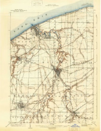
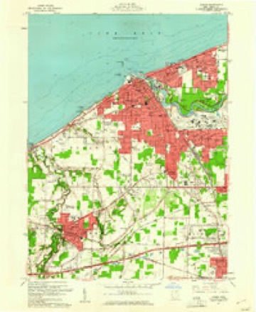
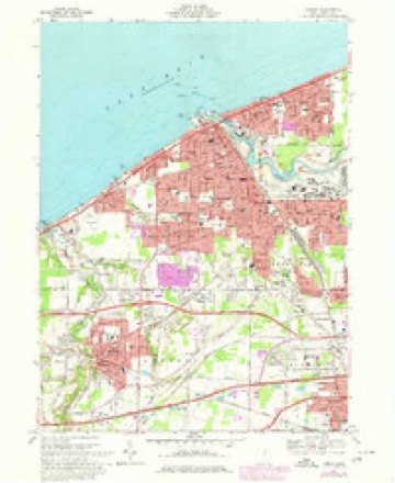
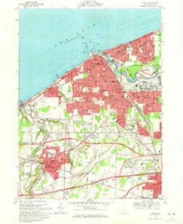
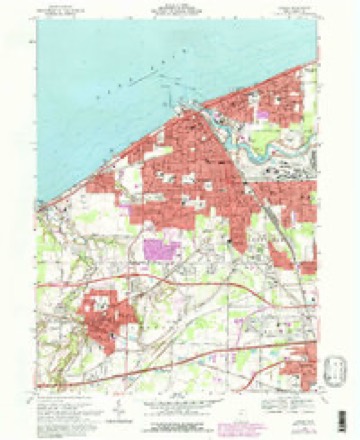
15 topographic sheets cover this place, the earliest surveyed in 1901 and the latest in 1986. It stands in Lorain City. It lies in ZIP code area 44052. It stands on Black River. The Survey maps it on the Lorain quadrangle. 65,211 people lived here at the 2020 count. It stands 610 feet above sea level.
Research this city
This curated hub for Lorain County, Ohio brings together the page's documented record links, visible map or image evidence where published, and routes to related local records.
What is documented here?
Use the page's provenance and linked records to distinguish the source material from the site's navigation and summaries.
How should I cite it?
Open the original record, preserve its repository and identifier, then use the citation tool for this page as a path back to the source.
Where should I go next?
Follow the county or state hub for related places and records, then use the guide for a source-aware research sequence.
Population over time
2 figuresLorain grew from 64,097 to 65,211 between 2010 and 2020. These are the recorded population figures Wikidata holds for this place, reached through the Geographic Names Information System number this page is keyed on rather than by name, so they belong to this place and not to another of the same name. Most are census counts, but not all are: an early figure may be a founding or settlement estimate. The change column is computed, and is left blank where more than 20 years separate a figure from the one before it, because a gap that long is not a change between two counts.
| Year | People | Change |
|---|---|---|
| 2010 | 64,097 | |
| 2020 | 65,211 | +1,114 (+2%) |
Then and now
1901 to 1986The same ground, surveyed 85 years apart. Drag the handle to wipe between them. Both sheets are United States Geological Survey originals; neither has been altered.

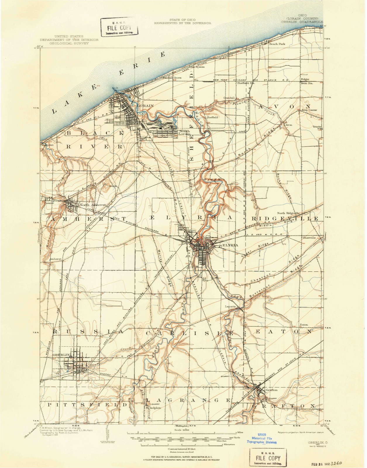
Compare 1901 against another survey:
Topographic sheets covering this place
15 sheetsMatched by testing this settlement's coordinate against the published boundary of every sheet in the United States Geological Survey's historical collection. Each opens the scanned sheet at the Survey.
- 1901 USGS Oberlin quadrangle1:62500
- 1901 USGS Oberlin quadrangle1:62500
- 1901 USGS Oberlin quadrangle1:62500
- 1903 USGS Oberlin quadrangle1:62500
- 1956 USGS Toledo quadrangle1:250000
- 1956 USGS Toledo quadrangle1:250000
- 1956 USGS Toledo quadrangle1:250000
- 1956 USGS Toledo quadrangle1:250000
- 1960 USGS Lorain quadrangle1:24000
- 1961 USGS Toledo quadrangle1:250000
- 1969 USGS Lorain quadrangle1:24000
- 1969 USGS Lorain quadrangle1:24000
- 1969 USGS Lorain quadrangle1:24000
- 1986 USGS Lorain quadrangle1:100000
- 1986 USGS Lorain quadrangle1:100000







What happened here
An account from the chapter on Lorain city, in the words of 1879.
Game
Game of the smaller kinds was very abundant before the hunters became too numerous. It cannot be positively stated that any old bears were killed in the township after the settlement was begun; but there is a vague tradition to the effect that Solomon Root and Joseph Ross once found two in a whitewood tree in the southwest part of the town, and killed them.
Photographs
8 photographs,Taken for the Office of War Information and the Farm Security Administration, who photographed the country between 1935 and 1944. Works of United States government photographers, with no known restriction on use. Each opens its catalogue record.
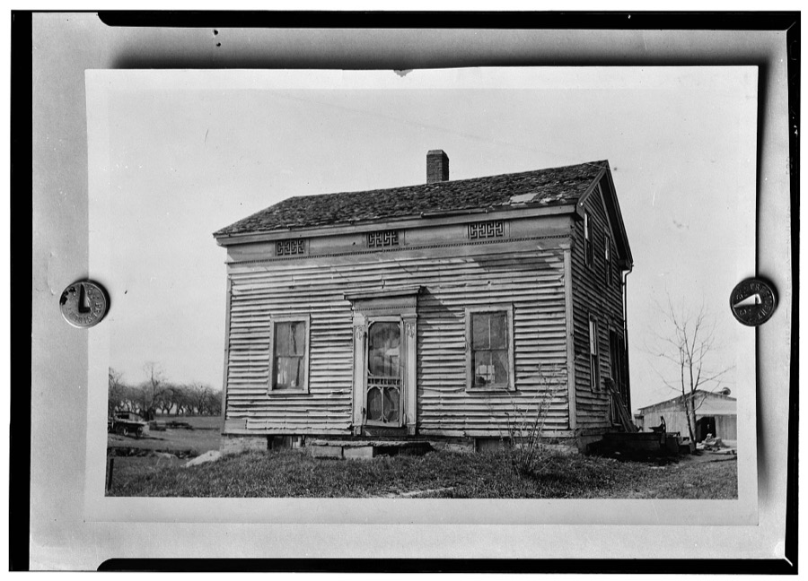
Unattributed, . Library of Congress
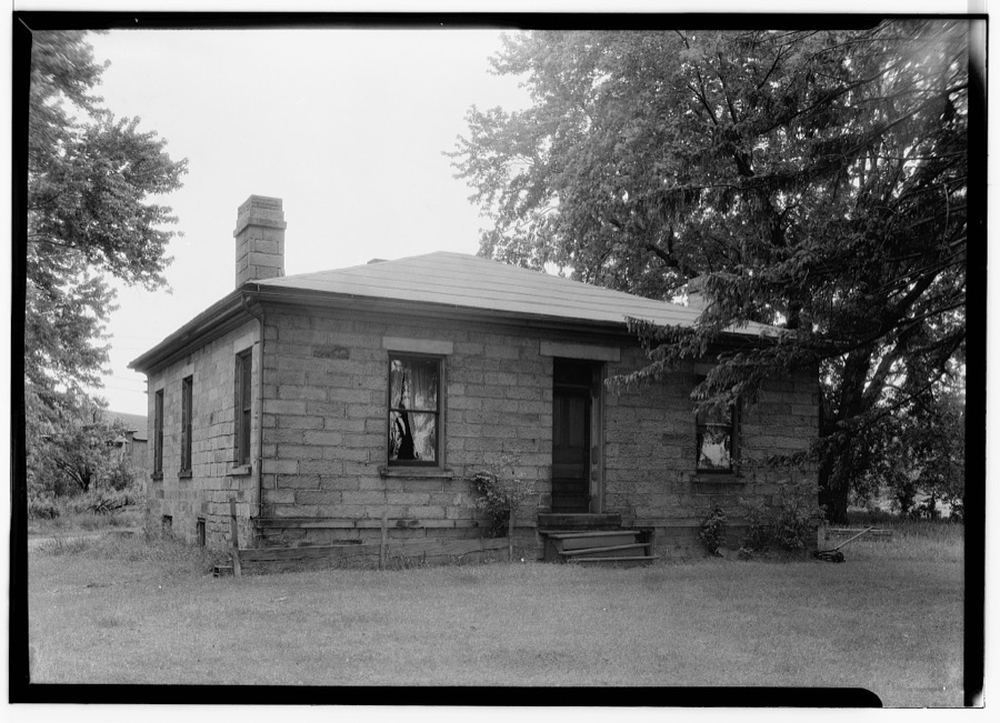
Unattributed, . Library of Congress
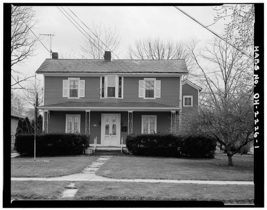
Unattributed, . Library of Congress
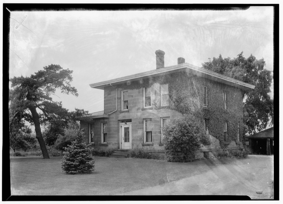
Unattributed, . Library of Congress
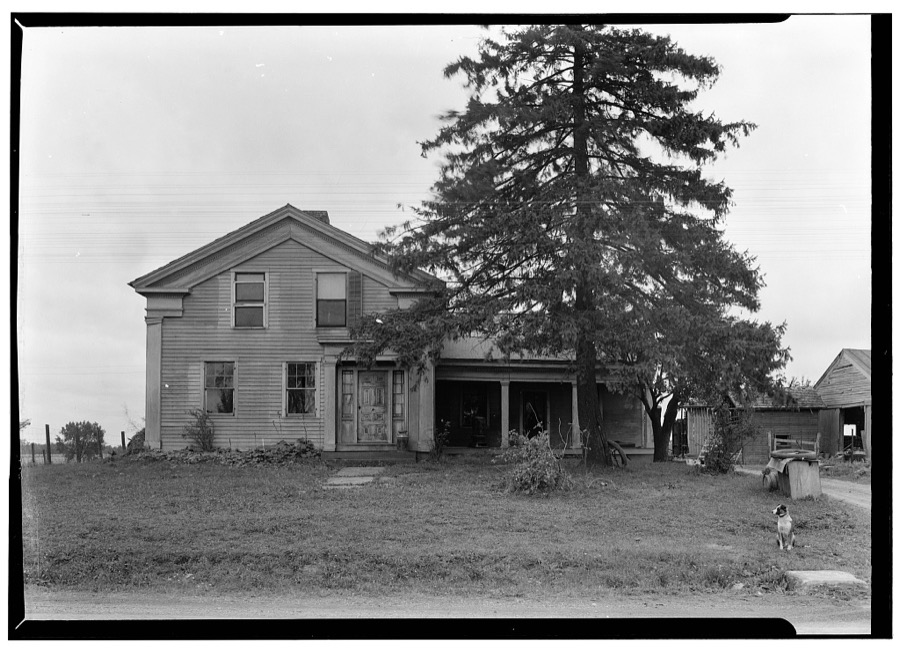
Unattributed, . Library of Congress
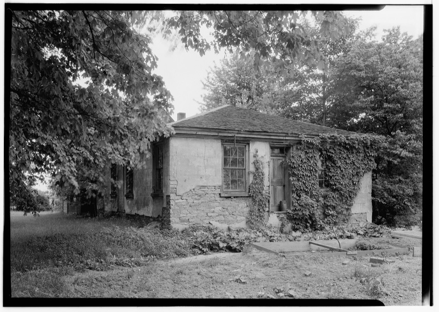
Unattributed, . Library of Congress
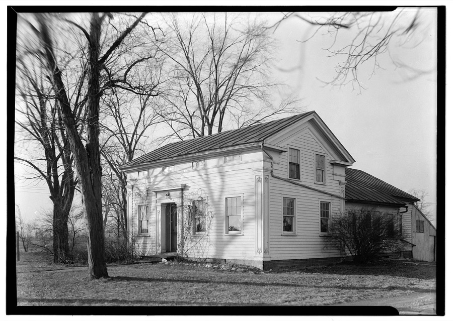
Unattributed, . Library of Congress
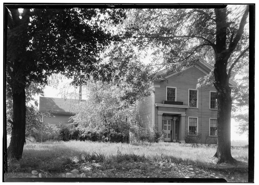
Unattributed, . Library of Congress
Specimens collected nearby
12 of 1,145 shownMuseums hold 1,145 specimens collected within 10 miles of Lorain between 1853 and 1975: 689 Animalia, 363 Fungi, 83 Plantae, 6 Unrecorded, 4 Protozoa. 12 distinct Species records are shown. Collected by ?, A. A. Wright, A. E. Ricksecker and others. Each is a physical object with a catalogue number, and each entry opens the museum's record. This is what was collected and kept, not a survey of what lives here - nothing can be concluded from a species being absent.
| Image | Species | Year | Collected by | Where, as recorded |
|---|---|---|---|---|
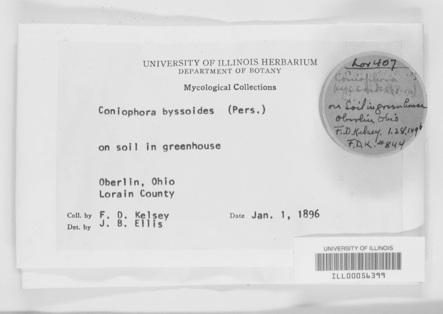 | Coniophora byssoides (Pers.) P.Karst. | 1896 | F. D. Kelsey | Oberlin. |
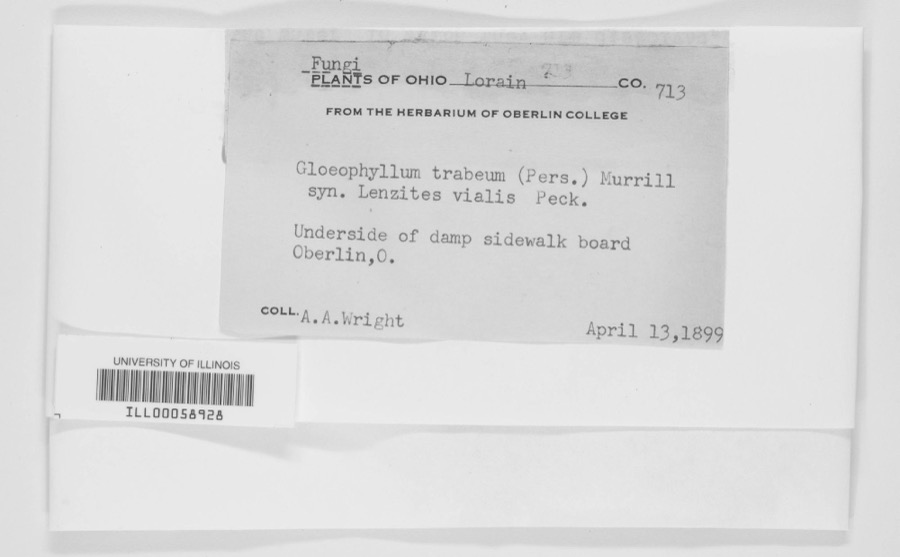 | Gloeophyllum trabeum (Pers.) Murrill | 1899 | A. A. Wright | Oberlin. |
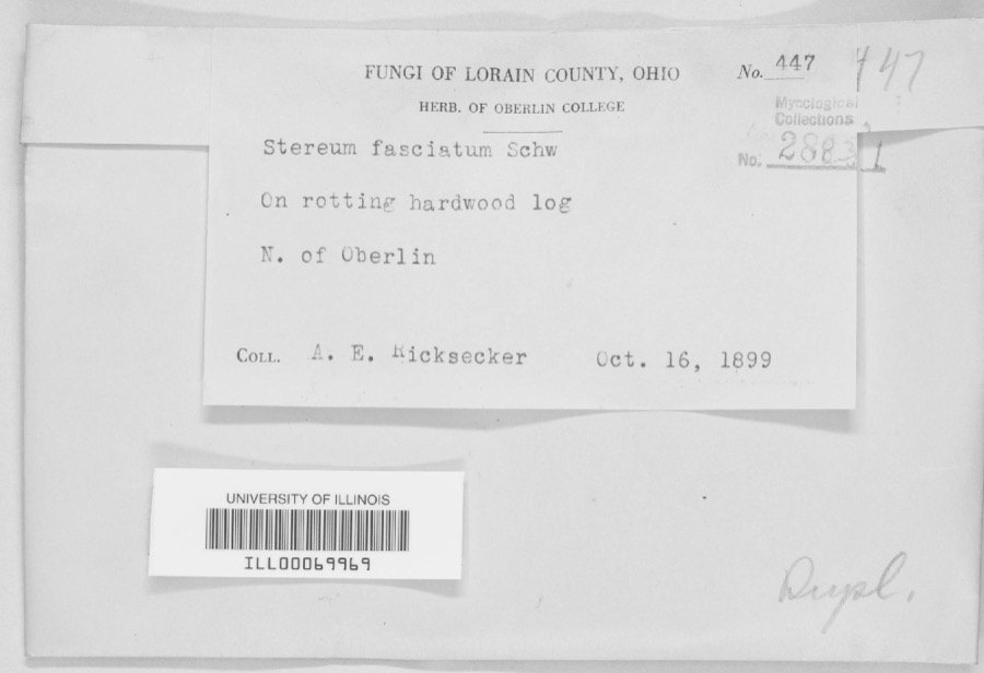 | Stereum fasciatum (Schwein.) Fr. | 1899 | A. E. Ricksecker | N. of Oberlin |
 | Ammocrypta pellucida (Putnam, 1863) | 1853 | Baird, Spencer Fullerton | Black River, below falls at Elyria, Ohio |
 | Etheostoma blennioides Rafinesque, 1819 | 1853 | S. Baird | Black River Elgria Ohio (above falls) |
 | Etheostoma caeruleum Storer, 1845 | 1853 | S. Baird | Elyria, Ohio |
 | Etheostoma maculatum Kirtland, 1840 | 1853 | S. Baird | Elyria, Ohio |
| Aecidium nesaeae W.R.Gerard | 1894 | Kelsey, F.D. | Lorain County, Ohio | |
 | Ammodramus savannarum pratensis (Vieillot, 1818) | 1894 | Jones, L. (Lynds) | Oberlin Field W of Athletic Park, Lorain, Ohio, USA |
 | Aulacomnium palustre (Hedw.) Schwägr. | 1894 | F. D. Kelsey | |
| Carpodacus purpureus purpureus (J.F.Gmelin, 1789) | 1894 | Jones, L. (Lynds) | Morgan's Woods, NW Oberlin, Lorain, Ohio, USA | |
| Catharus ustulatus (Nuttall, 1840) | 1894 | Jones, L. (Lynds) | Morgan's Woods, NW Oberlin, Lorain, Ohio, USA |
All 1,145 specimens within 10 miles, at the Global Biodiversity Information Facility.
Mines and quarries nearby
7 within 5 milesThe federal mineral resources record lists 7 workings within 5 miles of Lorain: 3 past producers, 3 producers, 1 plant. 4 still produce. What was taken out: Sand and Gravel, Construction, Iron, Gypsum-Anhydrite. Distance is straight-line from the map coordinates, so a quarry counted here may appear on a neighbouring settlement's page as well.
| Where | Site | Commodity | Status | Recorded |
|---|---|---|---|---|
| Lorain Plant-National Gypsum | Gypsum-Anhydrite | Plant | ||
| Lorain Plant - Marathon Steel | Iron | Producer | ||
| Lorain Plant - U.S. Steel | Iron | Producer | ||
| Lorain Elyria Sand Company, Inc Pit | Sand and Gravel, Construction | Past Producer | Sedimentary | |
| Lorain Elyria Sand Company, Inc Pit | Sand and Gravel, Construction | Past Producer | ||
| Loraine Loading Dock | Sand and Gravel, Construction | Producer | ||
| National Sand & Gravel Co Dredge | Sand and Gravel, Construction | Past Producer |
Storms nearby
60 since 1994The National Weather Service names Lorain in 60 storm reports between 1994 and 2024: 35 thunderstorm wind, 11 hail, 10 flash flood, 2 waterspout. The reports record 2 deaths. Each account below is quoted exactly as the forecast office filed it, from the NOAA Storm Events Database, and each date opens the federal record of that event.
| When | Event | Place named | Harm | What the report says |
|---|---|---|---|---|
| July 2005 | Flash Flood | Lorain | 2 killed, $1,200,000 | Thunderstorms dumped very heavy rains on the City of Lorain. The heaviest rains fell on the northeastern quadrant of the city where extensive flash flooding occurred. As much as three inches of rain fell between 3 and 4:30 pm as thunderstorms trained over the same small area. An elderly couple was killed around 4:15 pm after they drove their automobile into a flooded underpass on State Route 611 (Henderson Road) just a couple blocks east of State Route 57 (Broadway). The underpass filled with more than 12 feet of water in just a few minutes. Efforts to rescue the couple were unsuccessful. An automated rain gage just south of the underpass recorded 2.56 inches of rain between 3 and 4 pm and a total of 2.76 inches by 4:30 pm. A second underpass on State Route 57 (East 28th Street) was flooded by as much as ten feet of water. Much of Broadway Road was reported to be flowing "like a river" during the peak of the storm. Severe flooding was reported on most of the major thoroughfares in the northeastern portion of Lorain including Elyria Road, North Ridge Road, Martin Luther King Jr. Boulevard and Oberlin Avenue. Flood waters on Elyria Road were as much as six feet deep with two to three feet of flowing water reported at other locations. Dozens of vehicles became stranded in the flood waters and rescue efforts were severely hampered by the widespread nature of the flooding. Industrial areas south and west of the Black River were inundated by flood waters. Damage to homes and business in the City of Lorain and Sheffield Township from both flash flooding and basement flooding was extensive. At least 14 families were displaced by flooding. At least five City of Lorain police cars were destroyed by flooding. Flooding also was reported along Beaver Creek on the west side of Lorain. The creek left it's bank and damaged several homes. |
| November 2002 | Thunderstorm Wind | Lorain | $2,400,000 | Thunderstorm winds well in excess of 60 mph caused extensive damage in the City of Lorain and Sheffield Lake. A school in Sheffield Lake lost a large section of roof and suffered extensive water damage. 46 homes in the area were damaged by the strong winds, flying debris and fallen trees. Of this total, eight homes were beyond repair and classified as being destroyed. Several homes in Lorain and surrounding areas were also damaged by fallen trees. Hundreds of trees were downed in the county. |
| August 2007 | Flash Flood | Lorain | $1,500,000 | Heavy rain developed across the county during the morning hours of the 7th, and flash flooding quickly developed across northern portions of Lorain County. In the City of Lorain, one report described a man driving down East 28th Street and quickly turning around to avoid becoming stranded in the high water. Shortly after he turned around, he saw cars that continued down the street begin to float in the high water. Floodwaters quickly affected other streets throughout the City of Lorain with numerous reports of stranded cars and vehicle rescues. With conditions deteriorating, roads and underpasses throughout the city were closed. Heavy rainfall also caused flooding of a nursing home and damage to at least forty homes. ||In Sheffield Township several rescues were performed on people stranded in the quickly rising waters. Newspaper articles indicate that flooding of buildings also took place in Avon and Vermilion.||Rainfall reports in Lorain County include 1.66 inches at the Lorain-Elyria Airport and 3.77 inches in Sheffield Lake. |
| September 2005 | Flash Flood | Lorain | $1,100,000 | no account filed |
| October 2000 | Thunderstorm Wind | Lorain | $300,000 | A 68 mph thunderstorm wind gust was measured in Avon Lake. Thunderstorm winds downed dozens of trees in Lorain and Avon Lake. A large tree fell on a house in Avon Lake and caused unrepairable structural damage. The house and its contents were a total loss. An adjacent garage was also blown down and destroyed. |
| June 2014 | Flash Flood | Lorain | $120,000 | Heavy rainfall around 2 to 4 inches fell over Lorain County on the evening of June 25th. The first round of showers began from 3 to 5 p.m. and was the heaviest from 7 to 9 p.m. The highest amount measured was 3.72 inches in Elyria. This resulted in significant flooding to the area with numerous homes inundated. In Elyria about 8:55 p.m., a manhole cover popped off on Gulf Road, leaving a hole big enough for a submarine, a dispatchers transmission said. At 9:20 p.m., state Route 57 north between state Route 254 and Schadden Road in Elyria was blocked off, said police Lt. Lee Frank. Martin's Run Creek in Lorain caused flooding of several streets between West 35th Street and Oberlin Avenue. The Oberlin Police Department confirmed there were areas of flooding all throughout the city of Oberlin. Oberlin streets were blocked in many areas because of high water, including Prospect Street, North Main Street and South Professor Street. |
| June 2011 | Hail | Lorain | $100,000 | Nickel to golf ball sized hail was observed. Many vehicles were damaged by the hail. |
| August 2018 | Thunderstorm Wind | Lorain | $75,000 | A line of thunderstorms moved off of Lake Erie and caused damage from Lorain east along the lake shore to Sheffield Lake. Many trees were down, including some on houses. Power outages were reported across the area. Wind gusts were estimated to be at least 60 mph. |
| July 1998 | Thunderstorm Wind | Lorain | $50,000 | Trees and power lines were downed. One large limb fell on a house. Wind gusts were estimated at 60 miles per hour. |
| September 1994 | Thunderstorm Wind | Lorain | $50,000 | Trees and large limbs were downed, some on power lines. At least one home was damaged by a fallen tree. |
| March 1998 | Storm Surge/Tide | Lorain | $50,000 | no account filed |
| July 2002 | Thunderstorm Wind | Lorain | $35,000 | Thunderstorm winds toppled a large tree on top of two cars. One car was destroyed, the second heavily damaged. |
| January 2008 | Thunderstorm Wind | Lorain | $25,000 | Three power poles were reported down, and wires were in the road. Also, a large limb was reported down. |
| April 2023 | Thunderstorm Wind | Lorain | $20,000 | Large tree downed onto a house in Lorain. Visible damage to house. |
| October 1999 | Thunderstorm Wind | Lorain | $20,000 | Around a dozen trees were downed in and around Lorain. One tree landed on the roof of a house in Lorain and caused some damage. |
| July 1999 | Thunderstorm Wind | Lorain | $15,000 | A 61 mph wind gust was measured in Lorain and many trees were knocked down in Amherst and Lorain. |
| July 2018 | Thunderstorm Wind | Lorain | $10,000 | Thunderstorm winds downed a tree in the City of Lorain. The tree landed on a parked car causing considerable damage. |
| July 2016 | Thunderstorm Wind | Lorain | $10,000 | Thunderstorm winds downed at least three trees and several large limbs. |
| July 2011 | Thunderstorm Wind | Lorain | $10,000 | Thunderstorm winds downed several trees. |
| June 2008 | Thunderstorm Wind | Lorain | $10,000 | Several trees were reported down from the City of Lorain to Grafton. A tree was also reported down in Lagrange Township. |
| July 2005 | Thunderstorm Wind | Lorain | $10,000 | Several large trees and power lines were reported down. |
| July 2003 | Thunderstorm Wind | Lorain | $10,000 | Thunderstorm winds downed a few trees. |
| July 1998 | Flash Flood | Lorain | $10,000 | Heavy thunderstorm rain caused flooding of many roads. |
| October 2010 | Thunderstorm Wind | Lorain | $5,000 | Thunderstorm winds downed a couple trees near the intersection of State Route 57 and East 36th Street. One of the trees blocked a portion of State Route 57. |
| January 2008 | Thunderstorm Wind | Lorain | $5,000 | A wind gust of 65 mph was measured by a trained spotter. Also, trees and large limbs were reported down from the thunderstorm wind gusts. |
| May 2002 | Hail | Lorain | $5,000 | Dime size hail was reported three miles east of Lorain. |
| June 2001 | Thunderstorm Wind | Lorain | $5,000 | Thunderstorm winds downed a few trees. |
| May 1998 | Thunderstorm Wind | Lorain | $5,000 | Trees and power lines were downed. |
| June 2014 | Thunderstorm Wind | Lorain | $3,000 | Thunderstorm winds downed a few large tree limbs which blocked roads. |
| August 2009 | Thunderstorm Wind | Lorain | $3,000 | Several trees and large limbs were reported down in Lakeview Park in Lorain. |
| June 2006 | Thunderstorm Wind | Lorain | $3,000 | Two trees were reported down in Lorain and Avon Lake. |
| August 2024 | Thunderstorm Wind | South Lorain | $2,000 | Gazebo was damaged in the 1800 block of East 33rd Street of Lorain. Numerous trees were downed in the same area. |
| July 2011 | Thunderstorm Wind | Lorain | $2,000 | Thunderstorm winds downed numerous large tree branches in the area. |
| July 2011 | Thunderstorm Wind | Lorain | $2,000 | Thunderstorm winds downed a few large tree limbs. |
| August 2005 | Hail | Lorain | $2,000 | Nickel size hail was observed. |
| July 2003 | Thunderstorm Wind | Lorain | $2,000 | Thunderstorm winds downed a tree. |
| August 2001 | Thunderstorm Wind | Lorain | $2,000 | Thunderstorm winds downed two large tree limbs. |
| May 2018 | Thunderstorm Wind | Lorain | $1,000 | Thunderstorm winds downed a tree. |
| August 2024 | Thunderstorm Wind | South Lorain | - | About 25 trees downed in and near Oakwood Park in Lorain. |
| August 2023 | Hail | Lorain | - | Hail up to quarter-size in Lorain. |
| June 2022 | Hail | South Lorain | - | Hail up to nickel-size at Elyria Avenue and North Ridge Road in Elyria. |
| July 2022 | Thunderstorm Wind | Lorain | - | Utility pole snapped in Lorain. |
| July 2020 | Thunderstorm Wind | Lorain | - | Numerous trees and power poles down in Lorain and two miles north of Lorain. Time estimated via radar. |
| May 2014 | Hail | Lorain | - | Penny sized hail was observed. |
| July 2011 | Hail | Lorain | - | Nickel sized was reported. |
| August 2011 | Hail | Lorain | - | Penny sized hail was observed. |
| May 2011 | Flash Flood | Lorain | - | Multiple thunderstorms move over Lorain County between the 25th and 26th of May. The storms on the 25th saturated the ground, allowing for rapid runoff from storms on the 26th. A storm moved over Lorain County late on the 26th with rainfall rates over an inch per hour. Numerous roads were flooded and several were closed. In the hardest hit city of Lorain there was waist deep flooding in Gulf Street and Ohio Street near the elementary school. |
| May 2011 | Flash Flood | Lorain | - | Lorain County experienced their third straight day of flooding on the 14th. Storms brought around an inch of additional rainfall, but this in addition to already swollen streams and saturated ground cover was enough to trigger additional flooding. Several creeks came out of their banks and water was running across several roads. The speed that the water rose caught motorists by surprise as many cars stalled in high water. |
| May 2010 | Hail | Lorain | - | Penny sized hail was observed. |
| August 2001 | Waterspout | Lorain | - | A large waterspout was observed on Lake Erie approximately four miles offshore of Lorain. No damage occurred. |
| September 2001 | Waterspout | Lorain | - | Three waterspouts were observed on Lake Erie just northeast of Lorain. No damage occurred. |
| October 1999 | Flash Flood | Lorain | - | Thunderstorms dumped 1.6 inches of rain on the City of Lorain in less than one hour. Over a foot of standing water was reported on many streets and East 28th Street had to be closed for a period of time. Other streets with flooding included Popular, Olive, Oakdale and West 17th. |
| August 1997 | Tornado (F0) | Lorain | - | A tornado briefly touched down near the intersection of Leavitt and Skyline Roads one mile south of Lake Erie. No damage was reported. |
| August 1997 | Flash Flood | Lorain | - | Heavy thunderstorm rain caused flooding of roads, underpasses and low lying areas. Some roads were impassable and closed to traffic. |
| September 2019 | Thunderstorm Wind | Lorain | - | no account filed |
| July 1999 | Thunderstorm Wind | Lorain | - | no account filed |
| July 1999 | Hail | Lorain | - | no account filed |
| January 1998 | Flash Flood | Lorain | - | no account filed |
| May 1998 | Hail | Lorain | - | no account filed |
| November 1996 | Thunderstorm Wind | Lorain | - | no account filed |
Nearest settlements
The eight closest, with where each one stands in the county. Distances are straight-line, computed from the Geographic Names Information System coordinates.
| Map | Place | Distance | Sheets |
|---|---|---|---|
| Penfield Junction | 2.2 miles | 15 | |
| South Lorain | 2.6 miles | 15 | |
| Beaver Park | 3.6 miles | 15 | |
| Oakpoint (historical) | 3.7 miles | 15 | |
| Vincent | 4.2 miles | 16 | |
| Amherst | 4.3 miles | 15 | |
| Lake Breeze | 4.5 miles | 16 | |
| Sheffield Lake | 4.9 miles | 16 |
Elsewhere
Matched on this settlement's Geographic Names Information System number rather than its name, so it cannot be a different place of the same name in another state.
| Wikipedia article on Lorain | An encyclopaedic summary. Its text is share-alike, so it is linked here rather than copied. |
| Wikidata item Q609698 | The structured record the population and elevation above come from. Public domain (CC0). |
Provenance
This settlement is recorded in the Geographic Names Information System as feature 1077529. The sheet list is computed by point-in-boundary test against the United States Geological Survey's historical topographic inventory. Both are works of the United States government and carry no copyright under 17 U.S.C. 105.
Specimens. Global Biodiversity Information Facility (GBIF), https://www.gbif.org/. Only records licensed CC0 or CC BY are used. Records licensed CC BY-NC are excluded because this site carries advertising. Images are checked individually and any whose licence is non-commercial, no-derivatives or unreadable is refused.
Mines and quarries. USGS Mineral Resources Data System (MRDS) https://mrdata.usgs.gov/mrds/ A work of the United States government, no copyright under 17 U.S.C. 105.
Storms. NOAA National Centers for Environmental Information, Storm Events Database https://www.ncei.noaa.gov/stormevents/ A work of the United States government, no copyright under 17 U.S.C. 105. Narratives are quoted verbatim from the National Weather Service report and are not edited or summarised.