 Block
Block
Stanleyville, Ohio
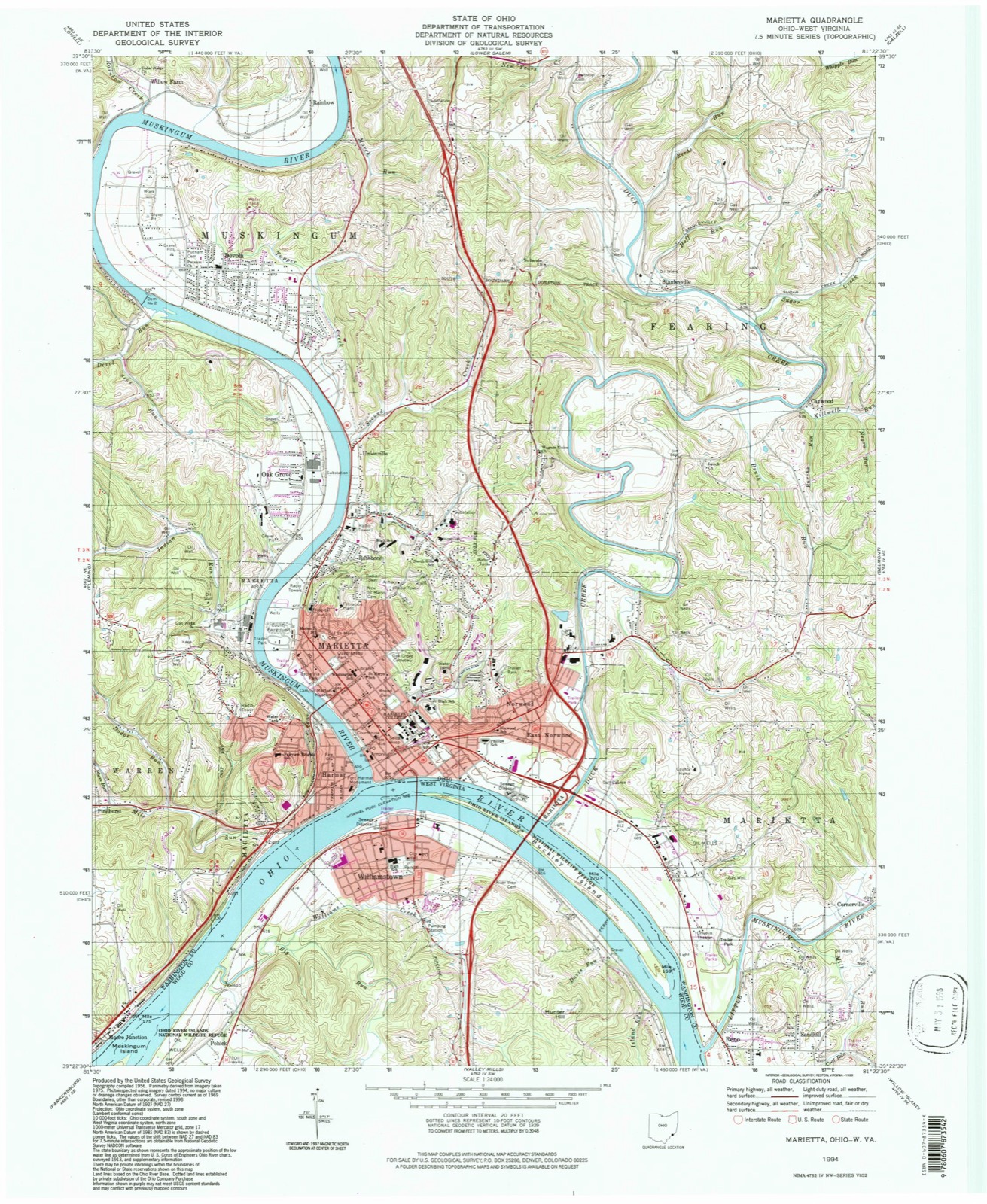
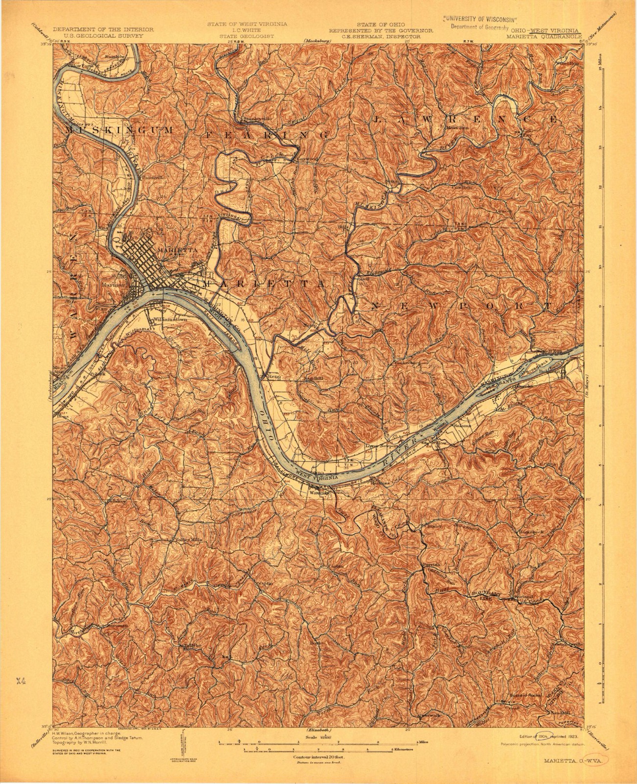
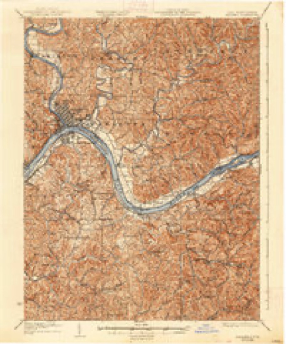
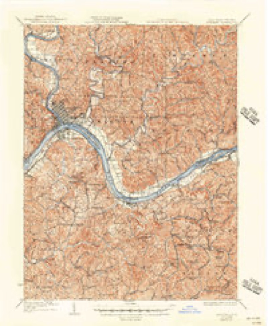
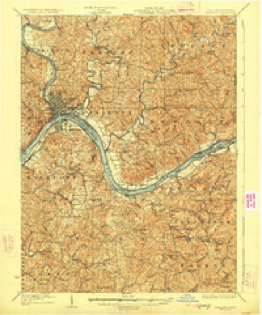
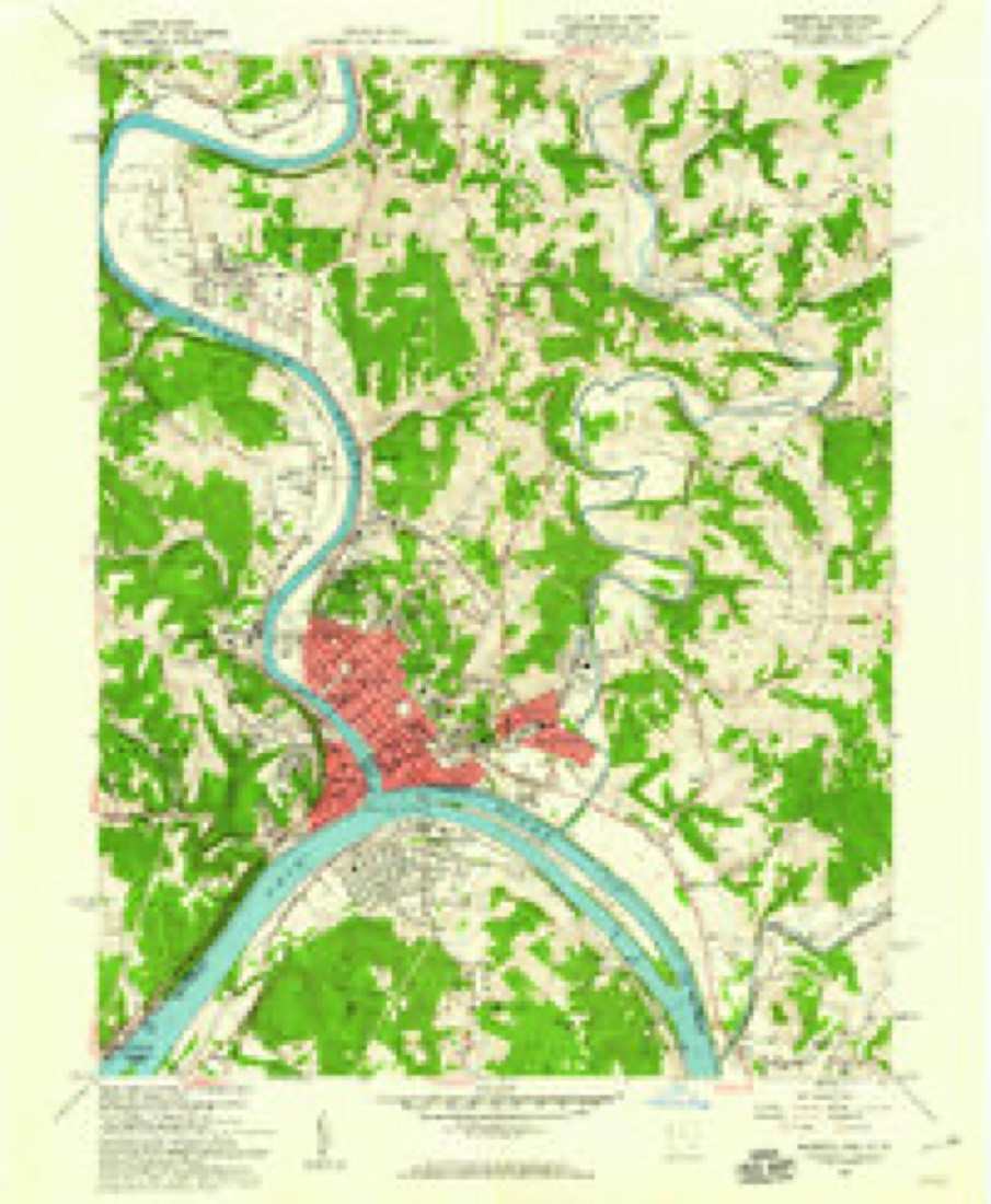
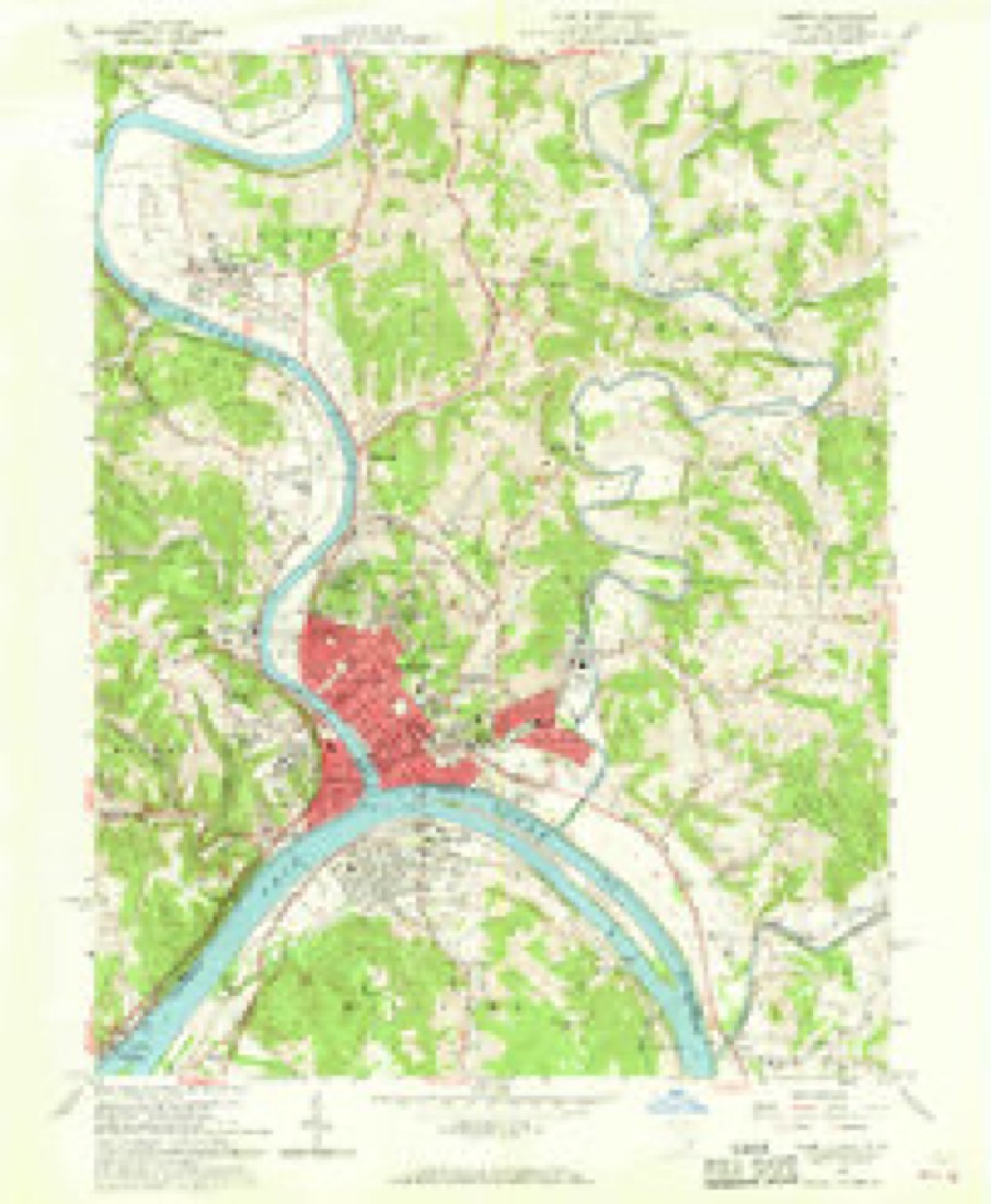
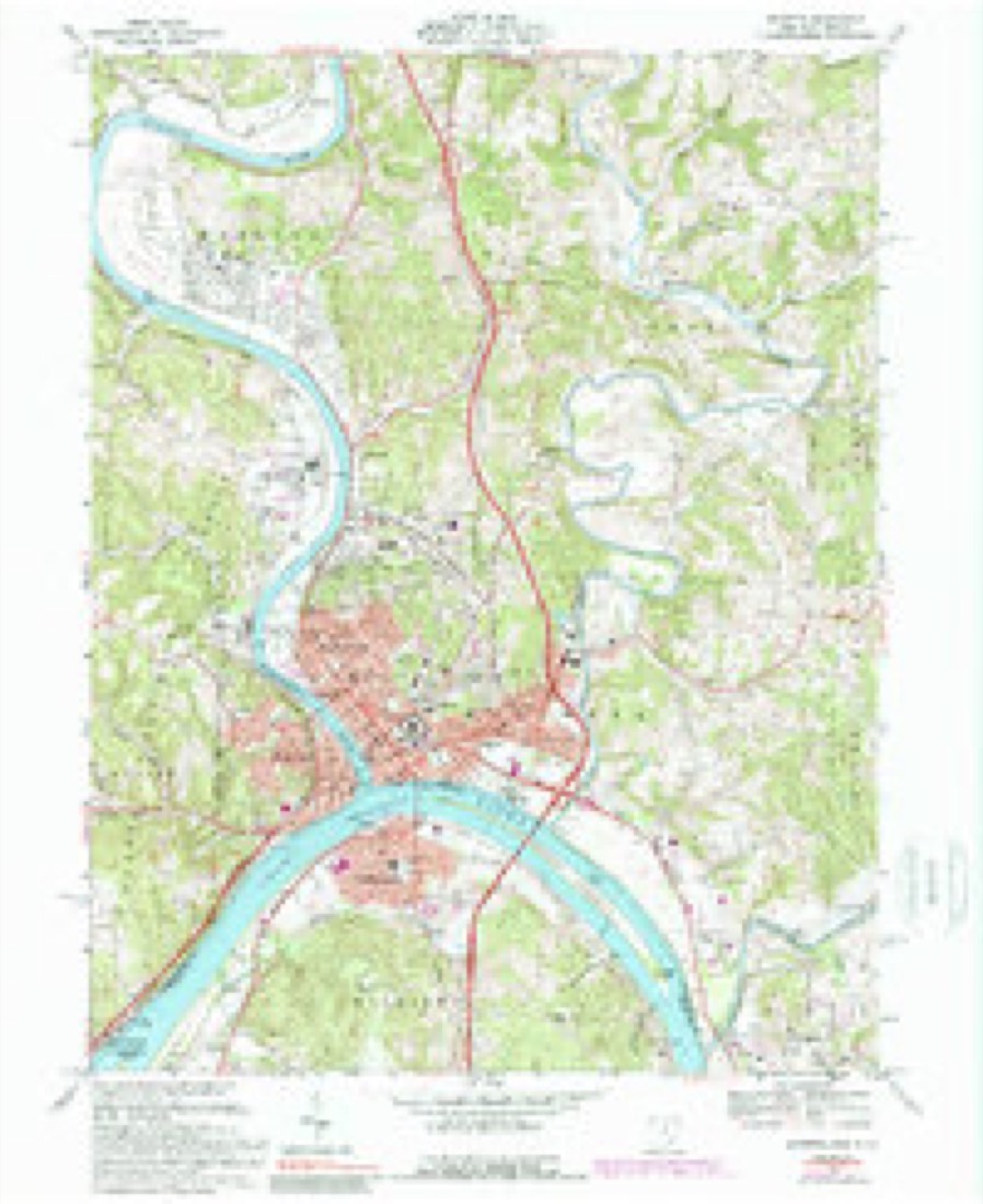
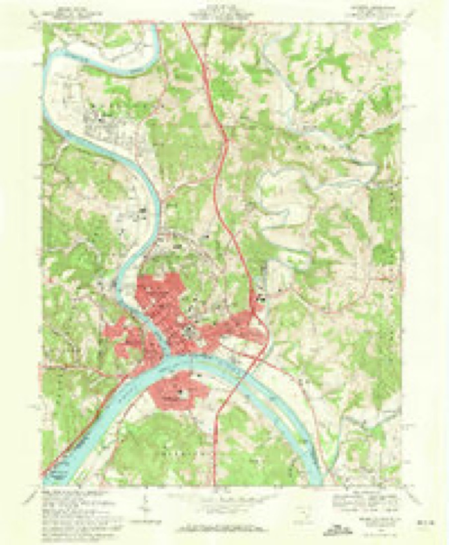
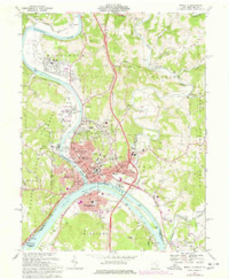
17 topographic sheets cover this place, the earliest surveyed in 1904 and the latest in 1994. It stands in Fearing Township. It lies in ZIP code area 45788. It stands on Hoff Run. The Survey maps it on the Marietta quadrangle.
Then and now
1904 to 1994The same ground, surveyed 90 years apart. Drag the handle to wipe between them. Both sheets are United States Geological Survey originals; neither has been altered.
Compare 1904 against another survey:
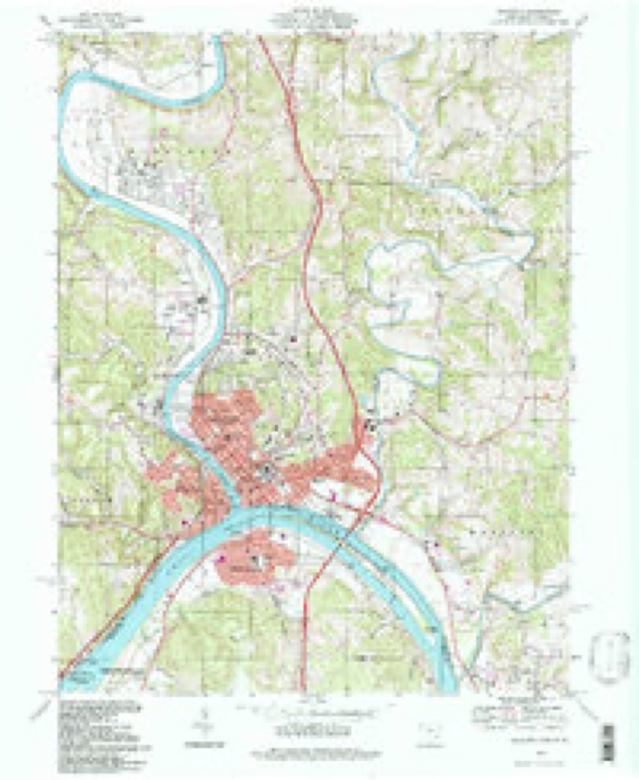
Topographic sheets covering this place
17 sheetsMatched by testing this settlement's coordinate against the published boundary of every sheet in the United States Geological Survey's historical collection. Each opens the scanned sheet at the Survey.
- 1904 USGS Marietta quadrangle1:62500
- 1924 USGS Marietta quadrangle1:62500
- 1927 USGS Marietta quadrangle1:62500
- 1927 USGS Marietta quadrangle1:62500
- 1927 USGS Marietta quadrangle1:62500
- 1949 USGS Clarksburg quadrangle1:250000
- 1956 USGS Clarksburg quadrangle1:250000
- 1956 USGS Clarksburg quadrangle1:250000
- 1957 USGS Marietta quadrangle1:24000
- 1957 USGS Marietta quadrangle1:24000
- 1961 USGS Clarksburg quadrangle1:250000
- 1969 USGS Marietta quadrangle1:24000
- 1969 USGS Marietta quadrangle1:24000
- 1969 USGS Marietta quadrangle1:24000
- 1981 USGS Parkersburg quadrangle1:100000
- 1988 USGS Clarksburg quadrangle1:250000
- 1994 USGS Marietta quadrangle1:24000





In the county-history sources
15,497 words on this townshipHistory of Washington County, Ohio, published 1881 names this settlement in its chapter on Fearing Township. These are the passages that mention it, exactly as the scans read.
Passing down the left bank of Duck creek, and crossing several small and mostly unnamed streams, a creek is reached a mile below Stanleyville, called Sugar run. Farther down, an inconsiderable stream flows north into Duck creek, named Brush run.
Passage source: History of Washington County, Ohio, published 1881.
As is characteristic of Duck Creek valley, bottom lands are not extensive when compared with those of most streams; still, in some places, as just above Stanleyville, the spectator can overlook from some bordering hill quite a stretch of rich, level farms. 'This is, of course, very desirable farming lands, except where*too liable to sudden visits from Duck creek after heavy rains. In the higher lands the soil is not uniformly rich, the red being the most esteemed, and the light-colored or white soil being very poor. Limestone, the foundation of fertility, is not as abundant here as in other parts of the basin. Perhaps the largest formation of this rock appears in the neighborhood of Stanleyville.
Passage source: History of Washington County, Ohio, published 1881.
The nucleus of another settlement near the present site of Whipple station was formed by the settlement of Levi Chapman, sr., who landed at Marietta in 1794, with a family of eight boys and four girls, having emigrated from Saybrook, Connecticut. He remained in the fort a short time, and then moved to the above mentioned place, attended by a guard of soldiers, who aided him in the construction of a block-house. With this place, the commander of the fort kept communication until peace was made with the Indians, a half above Stanleyville. He first came to Waterford township in 1789, having been born in Connecticut in 1740. He died in Fearing in 1823. He served as justice of the peace, and held various other township offices. His wife, Lucy Calkings, died in New England.
Passage source: History of Washington County, Ohio, published 1881.
Machine-read from a century-old scan, so expect the errors a machine makes: misspelled names, dropped words, stray characters.
Read the whole chapter on Fearing Township - it names this place 15 more 15 times.
Fires near this place
7 since 2015Regional context, not property-specific evidence. The federal wildfire occurrence database lists 7 fires within 5 miles of Stanleyville between 2015 and 2020, burning about 9 acres in total. 1 started naturally. None was recorded as arson. Distance is straight-line from the map coordinates, so a fire counted here may appear on a neighbouring settlement's page as well.
| Reported cause | Fires |
|---|---|
| Missing data/not specified/undetermined | 3 |
| Debris and open burning | 2 |
| Natural | 1 |
| Other causes | 1 |
The most recent of them, most recent first, with the day each was reported and the service that recorded it.
| Date | Cause | Size | Reported by | Name on the report |
|---|---|---|---|---|
| 8 September 2016 | Other causes | 5.0 acres | Ohio Department of Natural Resources | 5625 |
| 16 August 2016 | Natural | under an acre | Ohio Department of Natural Resources | 5405 |
| 5 April 2015 | Missing data/not specified/undetermined | under an acre | Ohio Department of Natural Resources | 710 |
| 12 March 2019 | Missing data/not specified/undetermined | under an acre | Ohio Department of Natural Resources | 15005 |
| 24 February 2017 | Missing data/not specified/undetermined | 2.0 acres | Ohio Department of Natural Resources | 7307 |
| 24 February 2017 | Debris and open burning | 1.2 acres | Wayne National Forest | REED |
| 9 November 2020 | Debris and open burning | under an acre | Wayne National Forest | HANDSCHUMAKER |
Settlements close enough to share some of these fires:
Specimens collected near this place
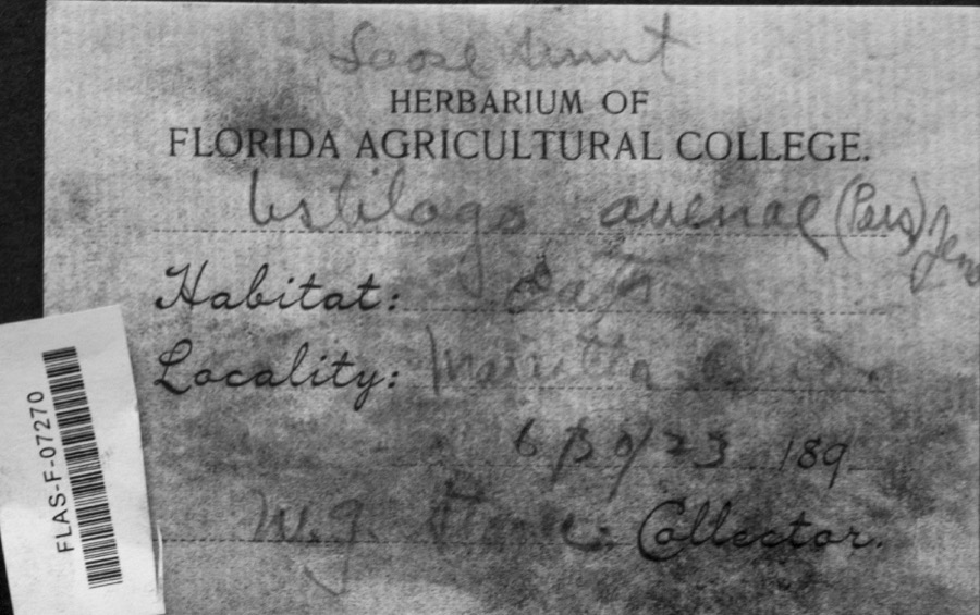
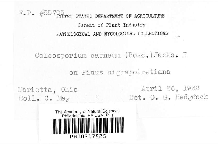
12 of 1,285 shownRegional context, not property-specific evidence. Museums hold 1,285 specimens collected within 10 miles of Stanleyville between 1853 and 1975: 1,200 Animalia, 54 Fungi, 29 Plantae, 1 Unrecorded, 1 Chromista. 12 distinct Species records are shown. Collected by A. D. Selby, A. Drew, A. L. McElhose and others. Each is a physical object with a catalogue number, and each entry opens the museum's record. This is what was collected and kept, not a survey of what lives here - nothing can be concluded from a species being absent.
| Image | Species | Year | Collected by | Where, as recorded |
|---|---|---|---|---|
 | Ustilago avenae (Pers.) Rostr. | 1923 | W.G. Stoner | Marietta |
 | Coleosporium carneum (Bosc) H.S.Jacks. | 1932 | C. May | Marietta |
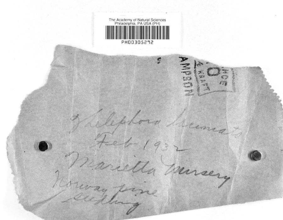 | Thelephora laciniata (Pers.) Pers. | 1932 | L.W.R.J. | Nursery, Marietta |
 | Catostomus commersonii (Lacepède, 1803) | 1853 | E. Andrews | Marietta, Ohio |
 | Actinonaias carinata gibba (C.T.Simpson, 1900) | 1879 | W. Holden | Ohio River, Near Marietta |
 | Necturus maculosus (Rafinesque, 1818) | 1886 | Georg Baur | Marietta |
 | Icteria virens (Linnaeus, 1758) | 1893 | Shufeldt, R. | Marietta |
 | Progne subis (Linnaeus, 1758) | 1893 | Shufeldt, R. | Marietta |
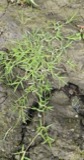 | Eragrostis hypnoides (Lam.) Britton, Sterns & Poggenb. | 1896 | A. D. Selby | Rainbow. |
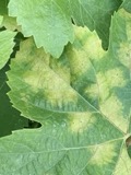 | Plasmopara viticola (Berk. & M.A.Curtis) Berl. & De Toni | 1896 | F.L. Stevens | Marietta |
 | Cyclonaias kleiniana (I.Lea, 1852) | 1897 | Sterki, Victor | Marietta |
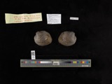 | Cyclonaias pustulosa (I.Lea, 1831) | 1897 | Sterki, Victor | Marietta |
All 1,285 specimens within 10 miles, at the Global Biodiversity Information Facility.
Mines and quarries near this place
5 within 5 milesRegional context, not property-specific evidence. The federal mineral resources record lists 5 workings within 5 miles of Stanleyville: 2 past producers, 2 producers, 1 plant. 3 still produce. What was taken out: Sand and Gravel, Construction, Manganese, Chromium, Iron, Manganese. Distance is straight-line from the map coordinates, so a quarry counted here may appear on a neighbouring settlement's page as well.
| Where | Site | Commodity | Status | Recorded |
|---|---|---|---|---|
| (Facility) Marietta Smelter | Manganese, Chromium | Plant | ||
| Union Carbide/ Marietta, Ohio | Iron, Manganese | Producer | ||
| Muskingum River Plant No 5 & Pit | Sand and Gravel, Construction | Past Producer | ||
| Number 3 Sand and Gravel Pit | Sand and Gravel, Construction | Producer | ||
| Union Slag No. 2 Sand & Gravel Pit | Sand and Gravel, Construction | Past Producer |
Storms near this place
2 since 2015Regional context, not property-specific evidence. The National Weather Service names Stanleyville in 2 storm reports between 2015 and 2024: 1 thunderstorm wind, 1 flood. No death or injury is recorded in these reports. Each account below is quoted exactly as the forecast office filed it, from the NOAA Storm Events Database, and each date opens the federal record of that event.
| When | Event | Place named | Harm | What the report says |
|---|---|---|---|---|
| July 2015 | Thunderstorm Wind | Stanleyville | $25,000 | The first damage was found near Glenwood Lane where mutiple trees were damaged. The rain gutters of a house were damaged by falling tree branches. More tree damage was found along Windy Point Drive and Grant Edwards Drive. A large tree was snapped and fell onto the corner of a house causing roof damage. Damage went further east to near Sherry Drive. At least 1 vehicle was damaged. |
| April 2024 | Flood | Stanleyville | - | The Duck Creek at Whipple rose above its bankfull level of 12 feet shortly after midnight on April 3rd. The creek crested around 15.8 feet during the afternoon and returned to its banks the next morning. Flooding occurred along sections of Route 821, the intersection of Kohl Road and Whipple Run Road, Route 16 near Stanleyville, and on agricultural fields in the vicinity of the creek. |
Nearest settlements
The eight closest, with where each one stands in the county. Distances are straight-line, computed from the Geographic Names Information System coordinates.
| Map | Place | Distance | Sheets |
|---|---|---|---|
| Caywood | 1.7 miles | 17 | |
| Unionville | 2.8 miles | 17 | |
| North Hills | 2.9 miles | 17 | |
| Emerson Heights | 3.0 miles | 17 | |
| Muskingum Terrace | 3.1 miles | 17 | |
| Ruraldale | 3.1 miles | 17 | |
| Rainbow | 3.3 miles | 17 | |
| Oak Grove | 3.3 miles | 17 |
Elsewhere
Matched on this settlement's Geographic Names Information System number rather than its name, so it cannot be a different place of the same name in another state.
| Wikipedia article on Stanleyville | An encyclopaedic summary. Its text is share-alike, so it is linked here rather than copied. |
| Wikidata item Q22133375 | The structured record the population and elevation above come from. Public domain (CC0). |
Provenance
This settlement is recorded in the Geographic Names Information System as feature 1076957. The sheet list is computed by point-in-boundary test against the United States Geological Survey's historical topographic inventory. Both are works of the United States government and carry no copyright under 17 U.S.C. 105.
Wildfire. Short, Karen C. 2022. Spatial wildfire occurrence data for the United States, 1992-2020 [FPA_FOD_20221014]. 6th Edition. Fort Collins, CO: Forest Service Research Data Archive. https://doi.org/10.2737/RDS-2013-0009.6 Collected with United States Government funding and usable without additional permissions or fees.
Specimens. Global Biodiversity Information Facility (GBIF), https://www.gbif.org/. Only records licensed CC0 or CC BY are used. Records licensed CC BY-NC are excluded because this site carries advertising. Images are checked individually and any whose licence is non-commercial, no-derivatives or unreadable is refused.
Mines and quarries. USGS Mineral Resources Data System (MRDS) https://mrdata.usgs.gov/mrds/ A work of the United States government, no copyright under 17 U.S.C. 105.
Storms. NOAA National Centers for Environmental Information, Storm Events Database https://www.ncei.noaa.gov/stormevents/ A work of the United States government, no copyright under 17 U.S.C. 105. Narratives are quoted verbatim from the National Weather Service report and are not edited or summarised.