 Block
Block
Rainbow, Ohio
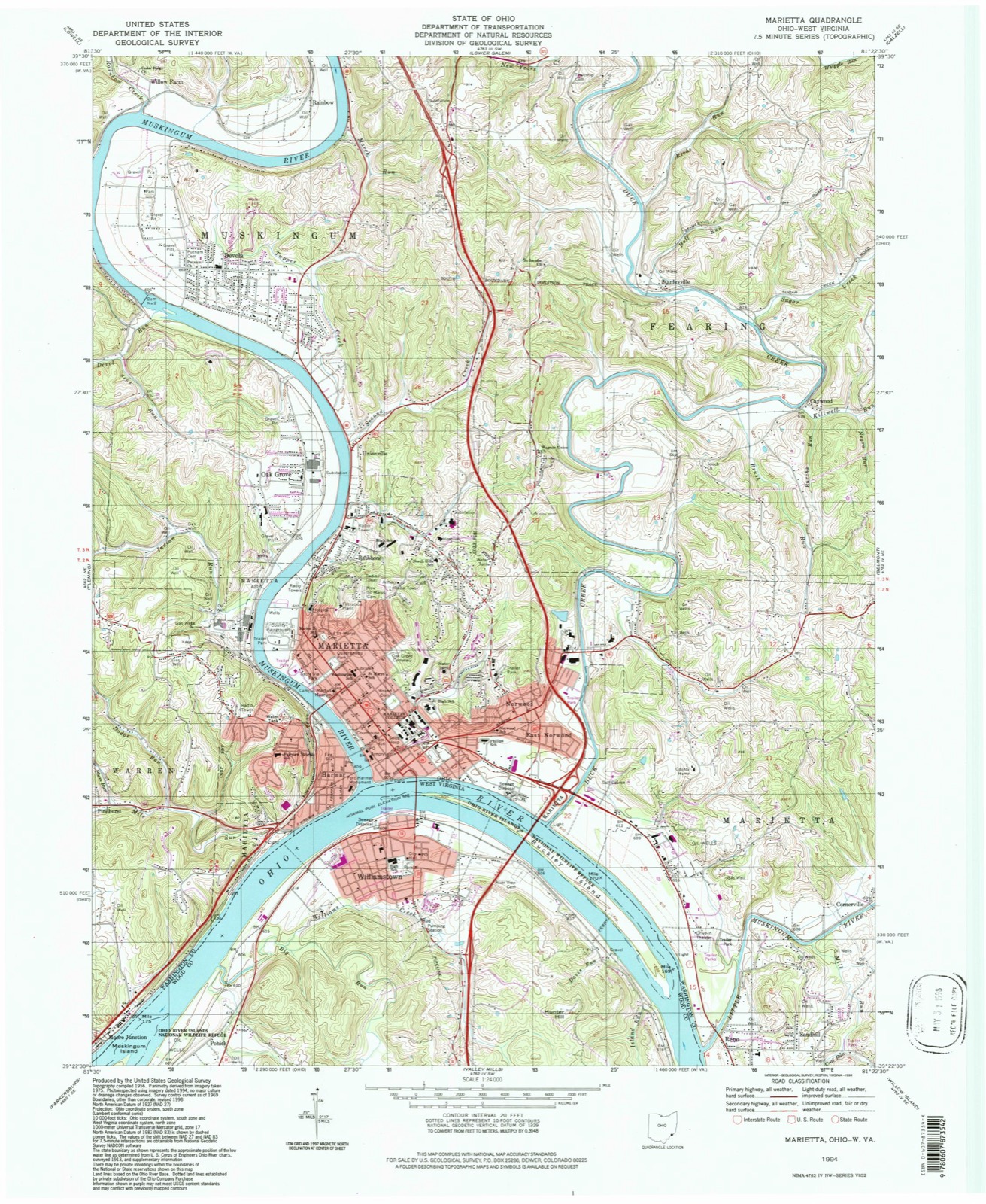
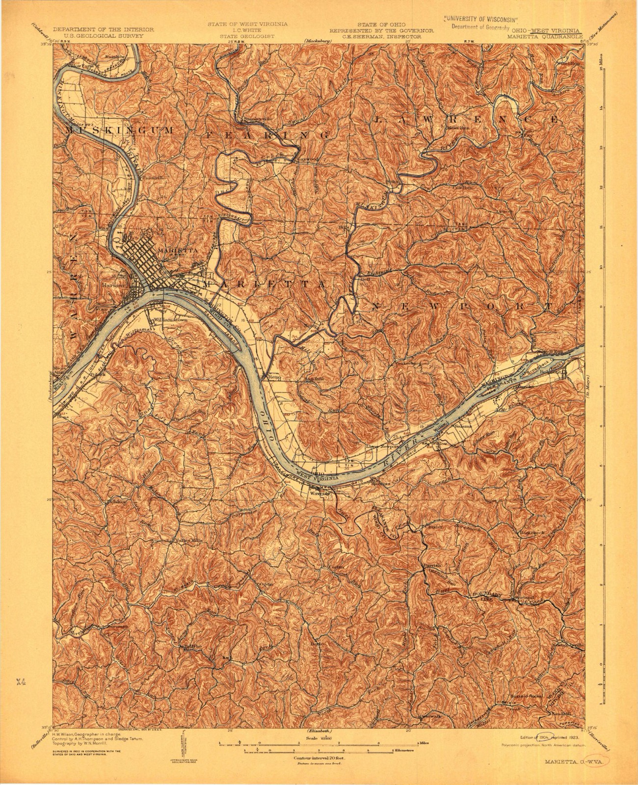
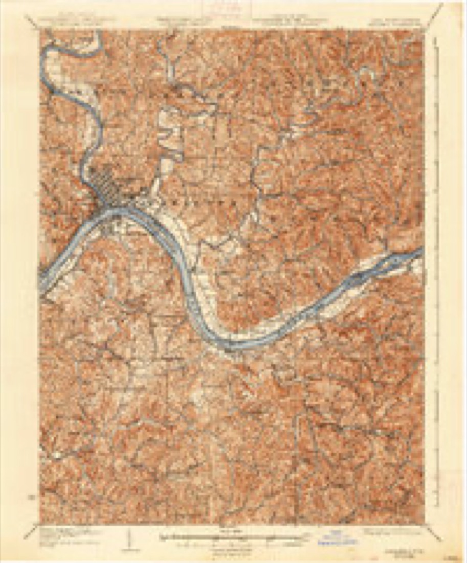
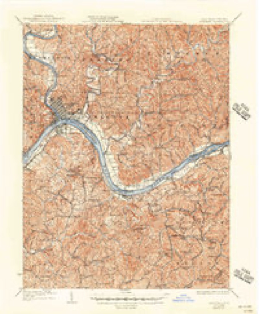
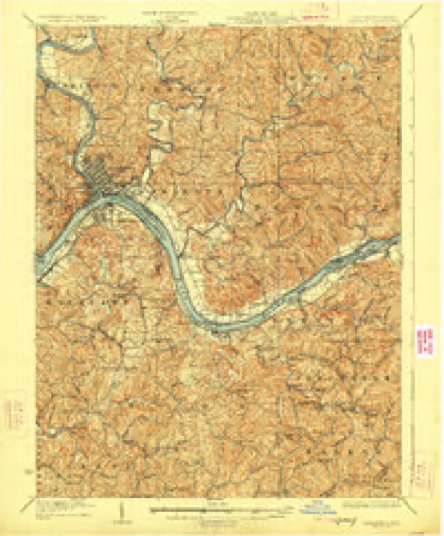
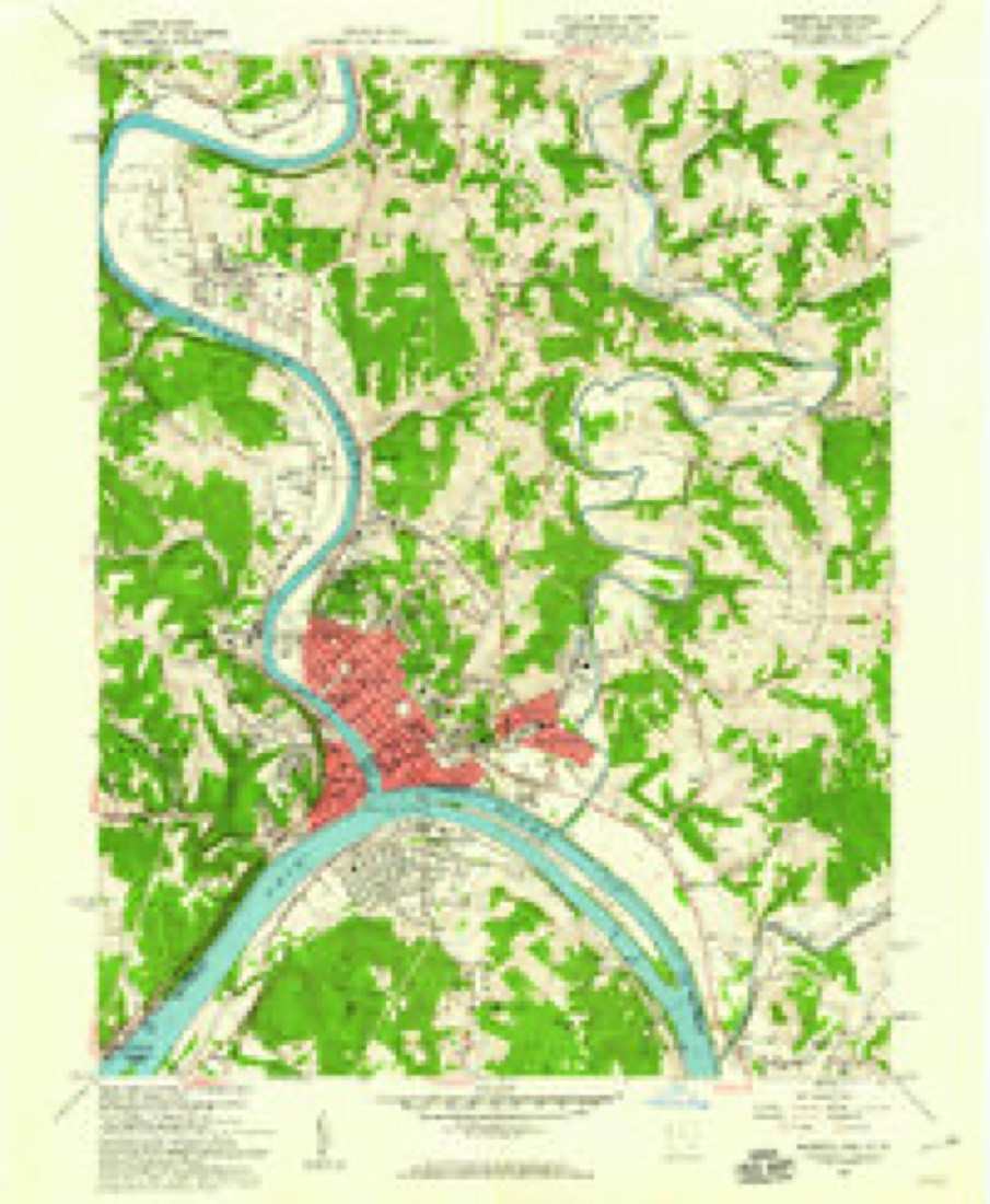
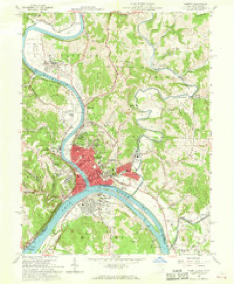
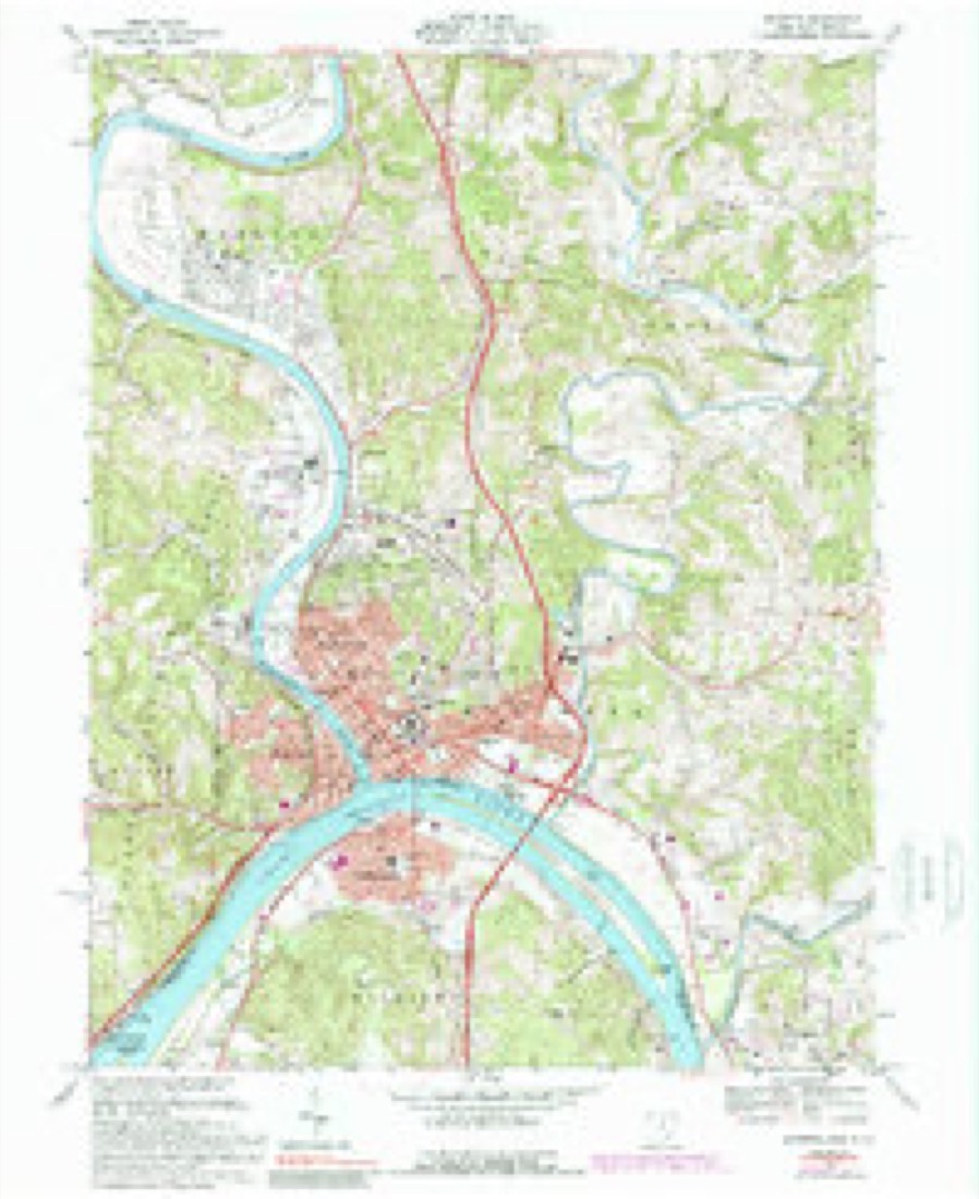
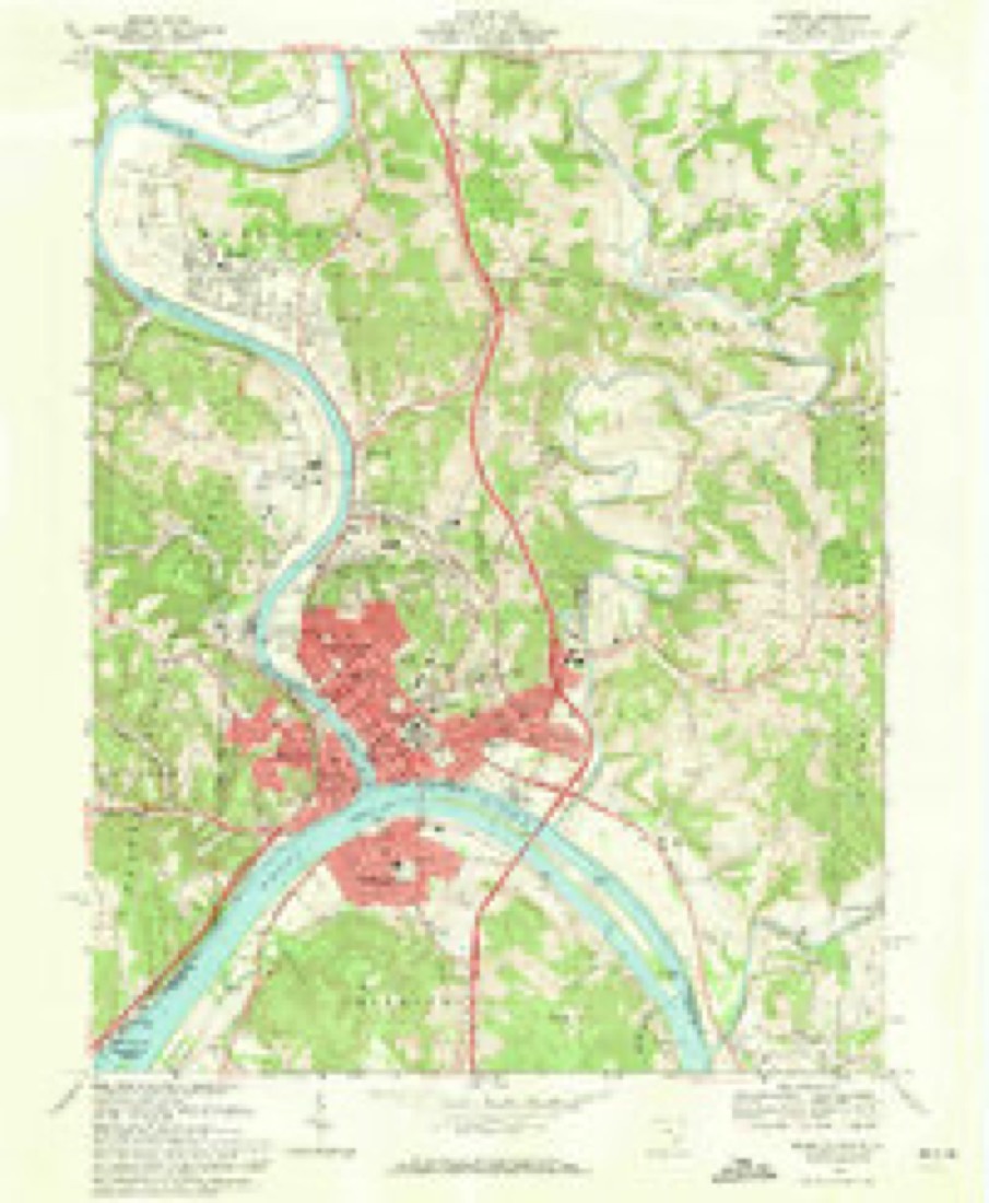
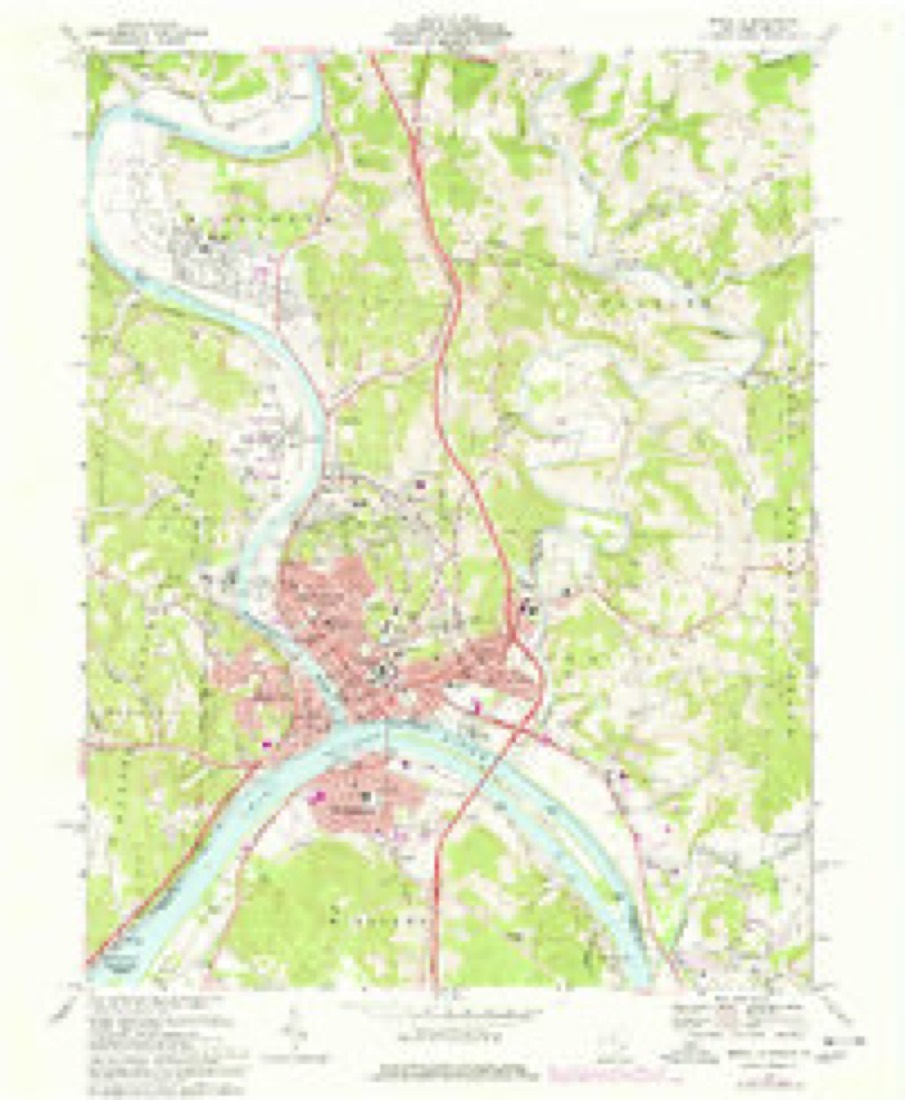
17 topographic sheets cover this place, the earliest surveyed in 1904 and the latest in 1994. It stands in Muskingum Township. It lies in ZIP code area 45744. It stands on March Run. The Survey maps it on the Marietta quadrangle.
Then and now
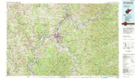
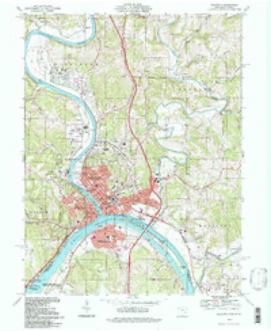
1904 to 1994The same ground, surveyed 90 years apart. Drag the handle to wipe between them. Both sheets are United States Geological Survey originals; neither has been altered.
Compare 1904 against another survey:
Topographic sheets covering this place
17 sheetsMatched by testing this settlement's coordinate against the published boundary of every sheet in the United States Geological Survey's historical collection. Each opens the scanned sheet at the Survey.
- 1904 USGS Marietta quadrangle1:62500
- 1924 USGS Marietta quadrangle1:62500
- 1927 USGS Marietta quadrangle1:62500
- 1927 USGS Marietta quadrangle1:62500
- 1927 USGS Marietta quadrangle1:62500
- 1949 USGS Clarksburg quadrangle1:250000
- 1956 USGS Clarksburg quadrangle1:250000
- 1956 USGS Clarksburg quadrangle1:250000
- 1957 USGS Marietta quadrangle1:24000
- 1957 USGS Marietta quadrangle1:24000
- 1961 USGS Clarksburg quadrangle1:250000
- 1969 USGS Marietta quadrangle1:24000
- 1969 USGS Marietta quadrangle1:24000
- 1969 USGS Marietta quadrangle1:24000
- 1981 USGS Parkersburg quadrangle1:100000
- 1988 USGS Clarksburg quadrangle1:250000
- 1994 USGS Marietta quadrangle1:24000





What happened here
An account from the chapter on Muskingum township, The inset identifies its exact source book and publication year.
Other Mills
of various kinds have been erected from time to time. In 1807, Captain Devol erected a very large frame flouring mill near where the present mill now stands. Its large under shot wheel is said to have been more than forty feet in diameter, it being the largest mill wheel ever seen in the west. The mill did a fair business, but with the lapse of years was allowed to fall into decay.
In the county-history sources
19,776 words on this townshipHistory of Washington County, Ohio, published 1881 names this settlement in its chapter on Muskingum Township. These are the passages that mention it, exactly as the scans read.
April 18, 1861, the Ohio legislature passed the following bill: AN ACT To erect the township of Muskingum in Washington county. "SECTION I. Be it enacted by the General Assembly of the State of Ohio, That the territory now constituting parts of the townships of Marietta, Union, and Fearing, in the county of Washington, and bounded as follows, to wit: Beginning at a point on the Muskingum river, where the same is intersected by the west line of a seventy-eight acre lot, numbered sixteen, in Bear Creek allotment of donation lands, running thence south on said line to the southwest corner of said lot numbered sixteen, thence west to the northwest corner of an eighty-five acre lot, numbered twenty-two, in Rainbow Creek allotment of donation lands, thence south on the west line of said lot numbered twenty-two, to the north line of Wiseman's bottom allotment of the donation lands, thence east on said line to the Muskingum river, thence down said river on the west bank thereof the same is intersected by the west line of one hundred and sixty acre lot, numbered four hundred, thence south on said line and its continuation to the south line of township numbered three, in range numbered eight, thence east on said line to the east bank of the Muskingum river, thence down said river to the south line of commons lot numbered twenty-eight, thence northeasterly along the corporation line of the city of Marietta to the southwest corner of commons lot numbered seventeen, thence easterly along the south line of commons lot numbered seventeen, to the southwest corner of commons lot numbered twelve, thence easterly along the south line of commons lot numbered twelve, to the southwest corner of commons lot numbered fourteen, thence north on line of original survey to the south line of Fearing township, thence east on said line to the east line of three acre lot numbered three hundred and two, thence north on the east line of a range of three acre lots numbered three hundred and eighty-nine, thence west to the east line of section numbered twenty-five in township numbered three, of range eight, thence north on the section line to the south line of Salem township, thence west on*said township line to Bear creek, thence down said creek to the Muskingum river, thence up said river to a point due north of the place of beginning, thence south across the river to the place of beginning, be and the same is hereby erected and constituted into a new township to be designated as Muskingum township, and that the eastern boundary of Union township, the western boundary of Fearing, and the northern boundary of Marietta township be so changed as to conform to the lines of said Muskinguin township.
Passage source: History of Washington County, Ohio, published 1881.
The first and most northerly curve of the river bears so strong a resemblance to the bow in the clouds that the included district was early called the Rainbow territory. Immediately south of this land and only separated from it by the waters of the Muskingum, is a stretch of bottom land which took the name Wiseman's bottom from its first settler. Still further south is a smaller stretch of lowland. The first two areas are from one-half to nearly a mile wide. Opposite these respective bottoms the hills approach very nearly to the water's edge as if jealous of their sister lowland. One step back from the first bottoms will be found a slightly more elevated region known as the second bottom, which swells into the higher plain land beyond, which in turn borders the outstretching slopes of the hill land. The hill country is very much broken and consists of alternate swells and falls. The hills vary in height and are separated by deep hollows through which run small streams of water, many of which are fed by springs, especially abundant in the northeastern part of the township. Many of these hills are symetrically moulded by nature's hand, and there are numerous mounds very suggestive of the artificial. 'Towards the western boundary the hills are not as prominent as on what is known as the ridge, which extends north and south along the western line.
Passage source: History of Washington County, Ohio, published 1881.
The bottoms consist of rich alluvions deposited by the river. The soil is of the richest quality. Adjacent to these are the second bottoms, of a thinner soil, and of a more loamy or sandy character. The plain land immediately adjacent to the hills has a gravelly soil. It is not expedient to attempt to determine which of the two bottoms, Rainbow or Wiseman's, is the more productive, inasmuch as they vie with each other for the palm. Both are very fertile and are consequently very productive, and are clear of timber. The uplands afford a fertile, clayey soil well adapted to the culture of wheat and all the small grains. The hill-tops which in the early days of settle. ment were regarded as little more than sterile obstructions have, by reason of the industry of the farmer, been crowned with golden harvests and dotted with grazing cattle. The bottom land averages in value fifty dollars per acre; and the lowest valuation is set on the hill land, which is worth from twenty-five down to ten dollars an acre,
Passage source: History of Washington County, Ohio, published 1881.
Machine-read from a century-old scan, so expect the errors a machine makes: misspelled names, dropped words, stray characters.
Read the whole chapter on Muskingum Township - it names this place 20 more 20 times.
Fires near this place
5 since 2015Regional context, not property-specific evidence. The federal wildfire occurrence database lists 5 fires within 5 miles of Rainbow between 2015 and 2018, burning about 8 acres in total. 1 started naturally. None was recorded as arson. Distance is straight-line from the map coordinates, so a fire counted here may appear on a neighbouring settlement's page as well.
| Reported cause | Fires |
|---|---|
| Debris and open burning | 2 |
| Natural | 1 |
| Other causes | 1 |
| Missing data/not specified/undetermined | 1 |
The most recent of them, most recent first, with the day each was reported and the service that recorded it.
| Date | Cause | Size | Reported by | Name on the report |
|---|---|---|---|---|
| 8 September 2016 | Other causes | 5.0 acres | Ohio Department of Natural Resources | 5625 |
| 16 August 2016 | Natural | under an acre | Ohio Department of Natural Resources | 5405 |
| 5 April 2015 | Missing data/not specified/undetermined | under an acre | Ohio Department of Natural Resources | 710 |
| 18 March 2018 | Debris and open burning | 1.0 acres | Ohio Department of Natural Resources | 12106 |
| 17 March 2016 | Debris and open burning | 1.0 acres | Ohio Department of Natural Resources | 3886 |
Settlements close enough to share some of these fires:
Specimens collected near this place
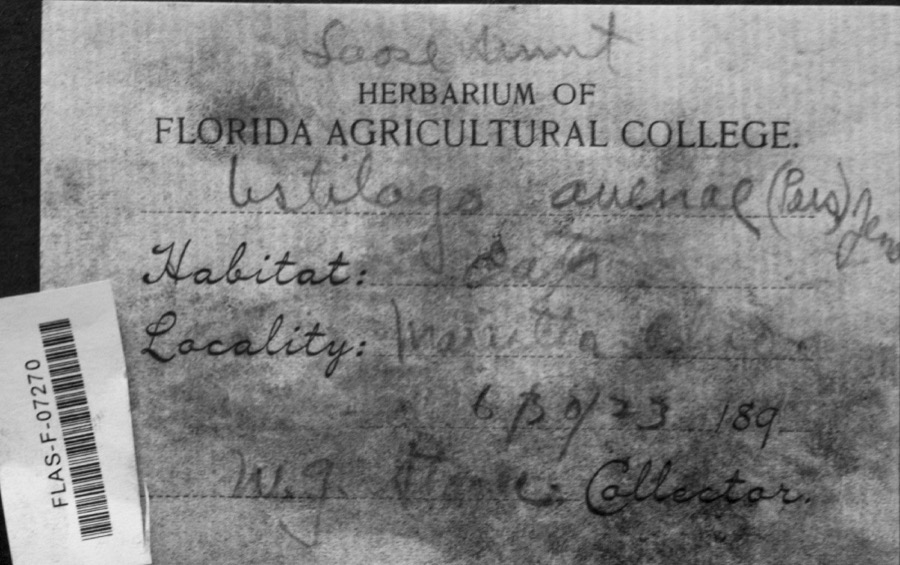
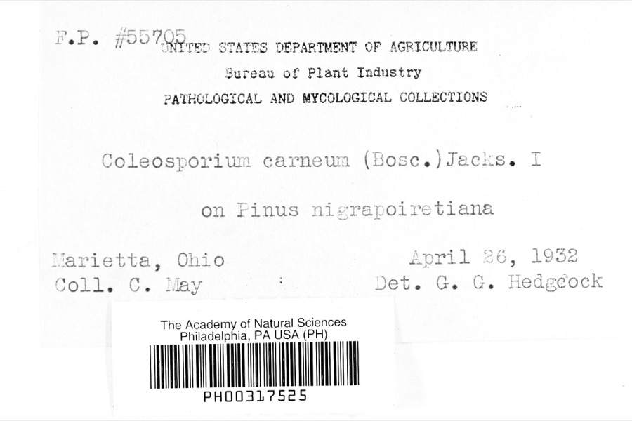
12 of 1,304 shownRegional context, not property-specific evidence. Museums hold 1,304 specimens collected within 10 miles of Rainbow between 1853 and 1975: 1,207 Animalia, 51 Fungi, 44 Plantae, 1 Unrecorded, 1 Chromista. 12 distinct Species records are shown. Collected by A. D. Selby, A. Drew, A. L. McElhose and others. Each is a physical object with a catalogue number, and each entry opens the museum's record. This is what was collected and kept, not a survey of what lives here - nothing can be concluded from a species being absent.
| Image | Species | Year | Collected by | Where, as recorded |
|---|---|---|---|---|
 | Ustilago avenae (Pers.) Rostr. | 1923 | W.G. Stoner | Marietta |
 | Coleosporium carneum (Bosc) H.S.Jacks. | 1932 | C. May | Marietta |
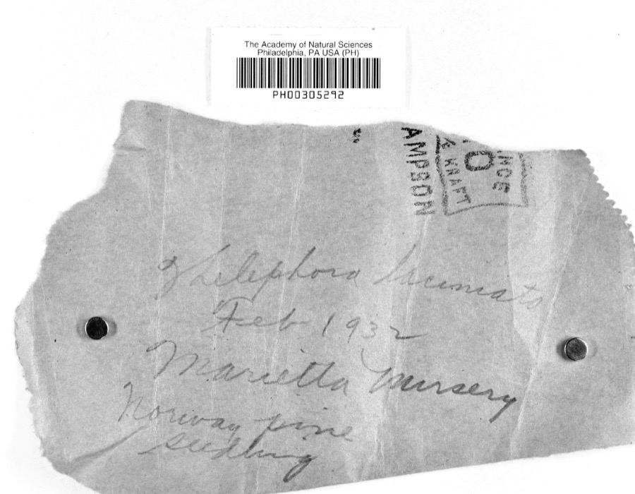 | Thelephora laciniata (Pers.) Pers. | 1932 | L.W.R.J. | Nursery, Marietta |
 | Catostomus commersonii (Lacepède, 1803) | 1853 | E. Andrews | Marietta, Ohio |
 | Actinonaias carinata gibba (C.T.Simpson, 1900) | 1879 | W. Holden | Ohio River, Near Marietta |
 | Trillium sessile L. | 1884 | None | Macksburg |
 | Necturus maculosus (Rafinesque, 1818) | 1886 | Georg Baur | Marietta |
 | Ammocrypta pellucida (Putnam, 1863) | 1888 | C. Gilbert & J. Henshall | Beverly, Ohio, Muskingum River. |
 | Hypentelium nigricans (Lesueur, 1817) | 1888 | C. Gilbert & J. Henshall | Beverly, Ohio, Muskingum River. |
 | Notropis whipplei (Girard, 1856) | 1888 | C. Gilbert & J. Henshall | Beverly, Ohio |
 | Percopsis omiscomaycus (Walbaum, 1792) | 1888 | C. Gilbert & J. Henshall | Beverly, Ohio, Muskingum River. |
 | Pimephales vigilax (Baird & Girard, 1853) | 1888 | C. Gilbert & J. Henshall | Beverly, Ohio, Muskingum River. |
All 1,304 specimens within 10 miles, at the Global Biodiversity Information Facility.
Mines and quarries near this place
4 within 5 milesRegional context, not property-specific evidence. The federal mineral resources record lists 4 workings within 5 miles of Rainbow: 2 past producers, 1 plant, 1 producer. 2 still produce. What was taken out: Sand and Gravel, Construction, Manganese, Chromium. Distance is straight-line from the map coordinates, so a quarry counted here may appear on a neighbouring settlement's page as well.
| Where | Site | Commodity | Status | Recorded |
|---|---|---|---|---|
| (Facility) Marietta Smelter | Manganese, Chromium | Plant | ||
| Muskingum River Plant No 5 & Pit | Sand and Gravel, Construction | Past Producer | ||
| Number 3 Sand and Gravel Pit | Sand and Gravel, Construction | Producer | ||
| Union Slag No. 2 Sand & Gravel Pit | Sand and Gravel, Construction | Past Producer |
Nearest settlements
The eight closest, with where each one stands in the county. Distances are straight-line, computed from the Geographic Names Information System coordinates.
| Map | Place | Distance | Sheets |
|---|---|---|---|
| Devola | 1.6 miles | 17 | |
| Alden | 2.1 miles | 16 | |
| Buells (historical) | 2.2 miles | 13 | |
| Unionville | 2.9 miles | 17 | |
| Oak Grove | 3.2 miles | 17 | |
| Lowell | 3.3 miles | 14 | |
| Stanleyville | 3.3 miles | 17 | |
| Whipple | 3.3 miles | 13 |
Elsewhere
Matched on this settlement's Geographic Names Information System number rather than its name, so it cannot be a different place of the same name in another state.
| Wikipedia article on Rainbow | An encyclopaedic summary. Its text is share-alike, so it is linked here rather than copied. |
| Wikidata item Q22133372 | The structured record the population and elevation above come from. Public domain (CC0). |
Provenance
This settlement is recorded in the Geographic Names Information System as feature 1076709. The sheet list is computed by point-in-boundary test against the United States Geological Survey's historical topographic inventory. Both are works of the United States government and carry no copyright under 17 U.S.C. 105.
Wildfire. Short, Karen C. 2022. Spatial wildfire occurrence data for the United States, 1992-2020 [FPA_FOD_20221014]. 6th Edition. Fort Collins, CO: Forest Service Research Data Archive. https://doi.org/10.2737/RDS-2013-0009.6 Collected with United States Government funding and usable without additional permissions or fees.
Specimens. Global Biodiversity Information Facility (GBIF), https://www.gbif.org/. Only records licensed CC0 or CC BY are used. Records licensed CC BY-NC are excluded because this site carries advertising. Images are checked individually and any whose licence is non-commercial, no-derivatives or unreadable is refused.
Mines and quarries. USGS Mineral Resources Data System (MRDS) https://mrdata.usgs.gov/mrds/ A work of the United States government, no copyright under 17 U.S.C. 105.