 Block
Block
Stoneham, Massachusetts
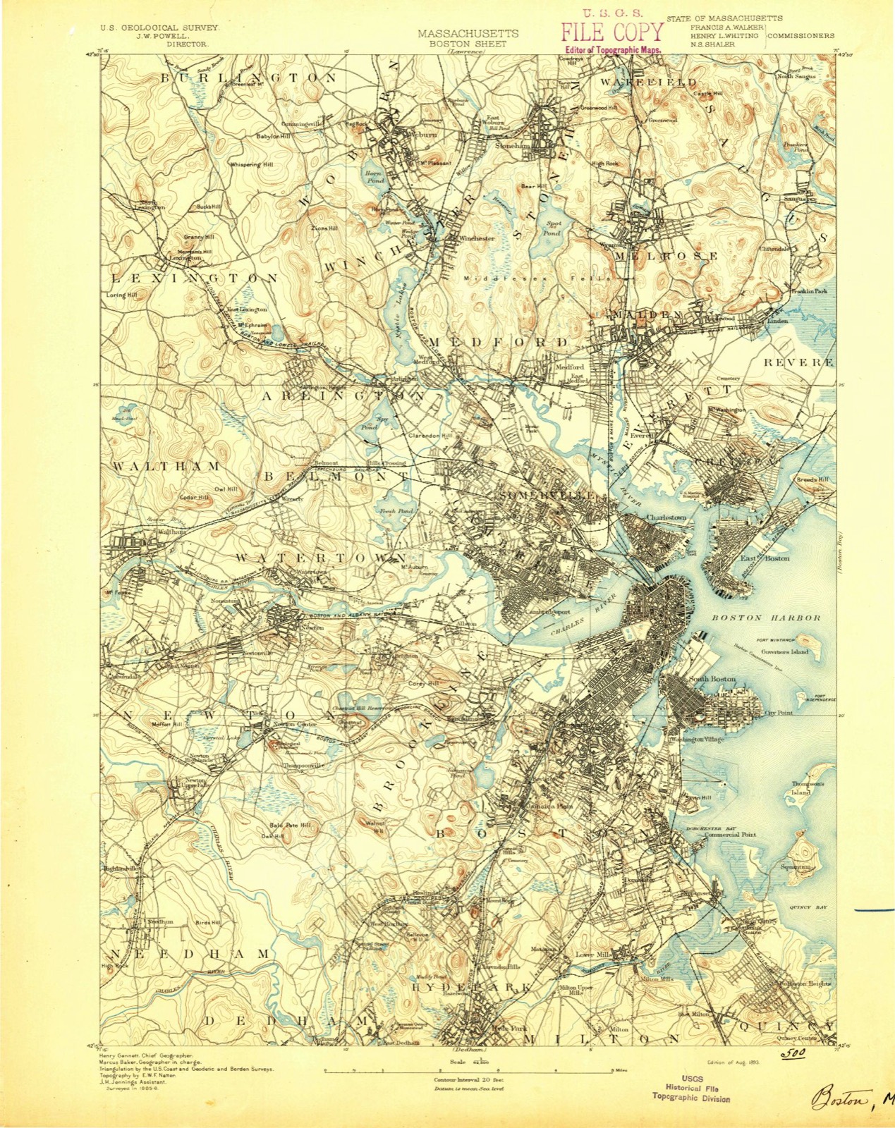
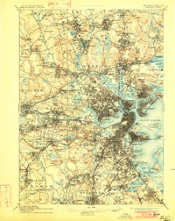
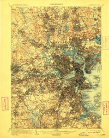
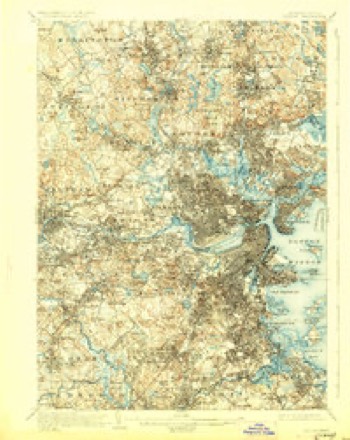
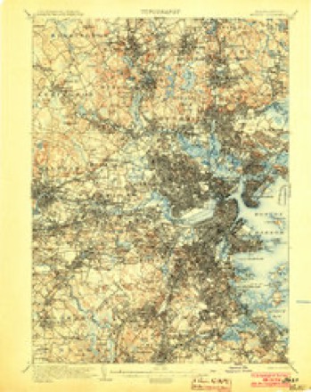
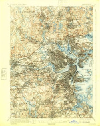
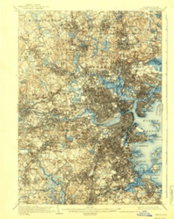
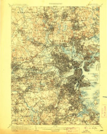
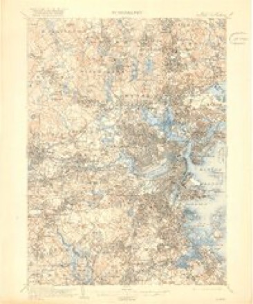
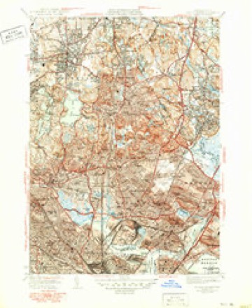
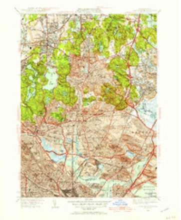
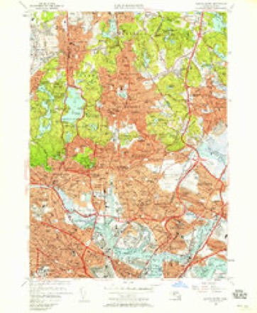
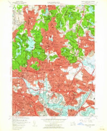
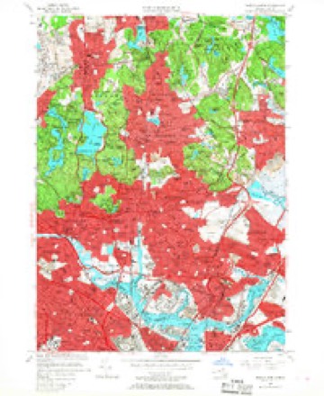
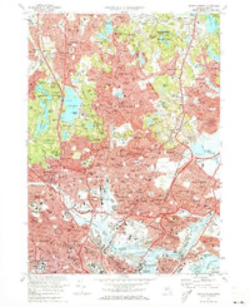
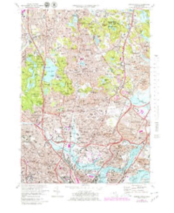
46 topographic sheets cover this place, the earliest surveyed in 1893 and the latest in 1989. It stands in Stoneham town. It lies in ZIP code area 02180. It stands on Rowe HIll. The Survey maps it on the Boston North quadrangle.
Then and now
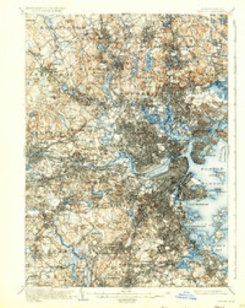
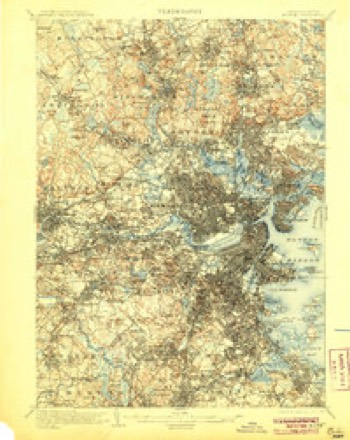
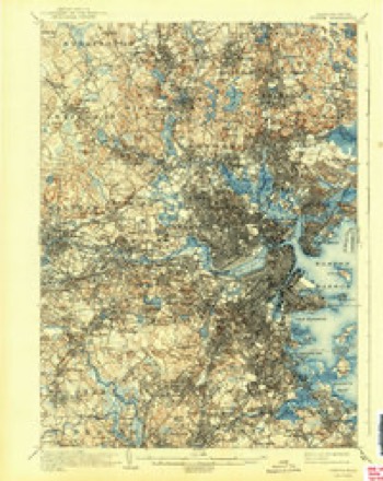
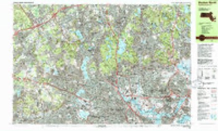
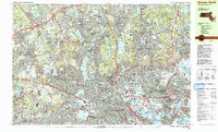
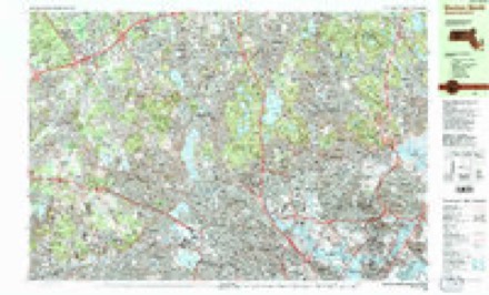
1893 to 1989The same ground, surveyed 96 years apart. Drag the handle to wipe between them. Both sheets are United States Geological Survey originals; neither has been altered.

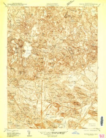
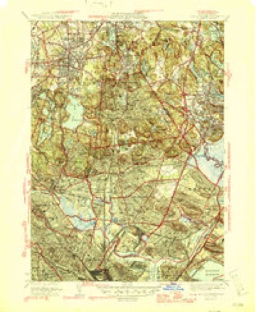
Topographic sheets covering this place
46 sheetsMatched by testing this settlement's coordinate against the published boundary of every sheet in the United States Geological Survey's historical collection. Each opens the scanned sheet at the Survey.
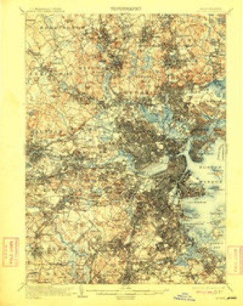
- 1893 USGS Boston quadrangle1:62500
- 1893 USGS Boston quadrangle1:62500
- 1893 USGS Boston quadrangle1:62500
- 1893 USGS Boston quadrangle1:62500
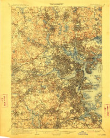
- 1903 USGS Boston quadrangle1:62500
- 1903 USGS Boston quadrangle1:62500
- 1903 USGS Boston quadrangle1:62500
- 1903 USGS Boston quadrangle1:62500
- 1903 USGS Boston quadrangle1:62500
- 1903 USGS Boston quadrangle1:62500
- 1903 USGS Boston quadrangle1:62500
- 1903 USGS Boston quadrangle1:62500
- 1903 USGS Boston quadrangle1:62500
- 1903 USGS Boston quadrangle1:62500
- 1903 USGS Boston quadrangle1:62500
- 1903 USGS Boston quadrangle1:62500
- 1903 USGS Boston quadrangle1:62500
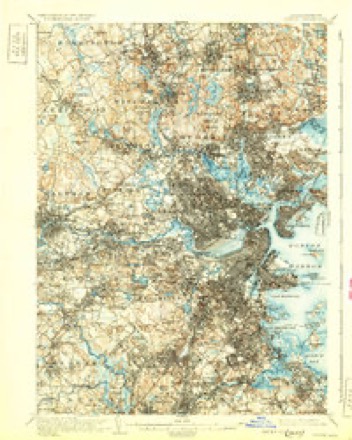
- 1943 USGS Boston quadrangle1:125000
- 1943 USGS Boston North quadrangle1:24000
- 1946 USGS Boston North quadrangle1:31680
- 1946 USGS Boston North quadrangle1:31680
- 1948 USGS Boston quadrangle1:250000
- 1948 USGS Boston quadrangle1:250000
- 1949 USGS Boston North quadrangle1:31680
- 1956 USGS Boston quadrangle1:250000
- 1956 USGS Boston quadrangle1:250000
- 1956 USGS Boston quadrangle1:250000
- 1956 USGS Boston quadrangle1:250000
- 1956 USGS Boston quadrangle1:250000
- 1956 USGS Boston quadrangle1:250000
- 1956 USGS Boston North quadrangle1:24000
- 1956 USGS Boston North quadrangle1:24000
- 1956 USGS Boston North quadrangle1:24000
- 1958 USGS Boston quadrangle1:250000
- 1958 USGS Boston quadrangle1:250000
- 1961 USGS Boston quadrangle1:250000
- 1961 USGS Boston quadrangle1:250000
- 1971 USGS Boston North quadrangle1:24000
- 1971 USGS Boston North quadrangle1:25000
- 1977 USGS Boston North quadrangle1:25000
- 1985 USGS Boston quadrangle1:100000
- 1985 USGS Boston North quadrangle1:25000
- 1985 USGS Boston North quadrangle1:25000
- 1985 USGS Boston North quadrangle1:25000
- 1989 USGS Boston quadrangle1:100000
- 1989 USGS Boston quadrangle1:100000
















What happened here
An account from the chapter on Stoneham town, The inset identifies its exact source book and publication year.
Died Of Wounds
> Jarob Pnrker Gould, (i son of Jacob and Pbcbo C, was born >Iiiy 15, 1822, graduated at Norwicli Uuivers'ly, Virmout; was a i-ivil engineer; wns major of the 13lh Regiment XIassacluisetts Voluuteeii; afterwards colonel of the 59th Massachusetts rcginiciit ; wounded nt the battle of Petersburg, Virginia, bod B leg aniputated, and died at Pliiladelphia, July 21.
In the county-history sources
13,956 words on this townshipHistory of Middlesex County, Massachusetts : Containing Carefully Prepared Histories of Every City and Town in the County, published 1880 names this settlement in its chapter on Stoneham Town. These are the passages that mention it, exactly as the scans read.
Hadley's Christian name is supposed to have been Anthony ; the records, however, do not confirm this. But as he is said to have married a daughter of Richard Holden, and the marriage of Anthony Hadley to Abigail Green, November 15, 17-i4, is registered, and the birth of Abigail Hadley, a daughter of Anthony Hadley, Jr., and Abigail, recorded July 5, 11 -il, there can be little doubt as to his Christian name.
Passage source: History of Middlesex County, Massachusetts : Containing Carefully Prepared Histories of Every City and Town in the County, published 1880.
Anthony Hadley ; a piece of it still retains the name of Spring Pasture. Among tlie first settlers were John Vinton and Jonathan Green, at the southeasterly part of tiie town ; the lands then belonging to John "Vinton, and in later years owned by several of the same name, as well as lands owned by persons by the name of Green, being at the present time included within the limits of the town of Melrose. The house of Jonatliau Green was built about the year 1700, and is still standing on the westerly side of Green Lane. When first occupied, the east part of the house was used for a stable, thereby exhibiting the kindness of the occupant for his horse as well as for the members of his family. Green was a member of the Troop Company, and often went to Groton and vicinity, as that appears to have been a noted place of resort for the destruction of the Indians. Jonathan Green, a descendant in the fifth generation, is still an owner and occupant of the premises. John Gould, Thomas Cutler, and William Rogers are said to have been numbered with the first settlers at the northeasterly part of the town, and although the names of John Gould and William Rogers do not appear in the records of births, marriages, or deaths, the births of Sarah Gould, born August 29, 1706, and Daniel Gould, born June 10, 1709, son and daughter of Daniel and Sarah, are found the first births occurring in Stoneham that are entered upon the records.
Passage source: History of Middlesex County, Massachusetts : Containing Carefully Prepared Histories of Every City and Town in the County, published 1880.
Stoneham remained for a long period a part of Charlestown, notwithstanding the early dates of the incorporation of the town of Medford, September 2S, 16:30 ; Woburn, May 18, 1643 ; Reading, May 29, 104-4, and Maiden, May 2, 1649. Stoneham was made a town December 17, 172.5. The following is a part of the act of incorporation : -
Passage source: History of Middlesex County, Massachusetts : Containing Carefully Prepared Histories of Every City and Town in the County, published 1880.
Machine-read from a century-old scan, so expect the errors a machine makes: misspelled names, dropped words, stray characters.
Read the whole chapter on Stoneham Town - it names this place 17 more 17 times.
Fires near this place
87 since 2004Regional context, not property-specific evidence. The federal wildfire occurrence database lists 87 fires within 5 miles of Stoneham between 2004 and 2020, burning about 108 acres in total. None started naturally. 29 were recorded as arson. Distance is straight-line from the map coordinates, so a fire counted here may appear on a neighbouring settlement's page as well.
| Reported cause | Fires |
|---|---|
| Arson/incendiarism | 29 |
| Missing data/not specified/undetermined | 17 |
| Recreation and ceremony | 15 |
| Debris and open burning | 13 |
| Smoking | 5 |
| Misuse of fire by a minor | 4 |
| Power generation/transmission/distribution | 2 |
| Equipment and vehicle use | 2 |
The most recent of them, most recent first, with the day each was reported and the service that recorded it.
| Date | Cause | Size | Reported by | Name on the report |
|---|---|---|---|---|
| 25 September 2015 | Equipment and vehicle use | under an acre | Massachusetts Bureau of Forest Fire Control | SAUGUS |
| 23 September 2020 | Recreation and ceremony | under an acre | Massachusetts Bureau of Forest Fire Control | not named |
| 21 September 2020 | Missing data/not specified/undetermined | under an acre | Massachusetts Bureau of Forest Fire Control | not named |
| 18 September 2016 | Arson/incendiarism | under an acre | Massachusetts Bureau of Forest Fire Control | MELROSE |
| 18 September 2015 | Arson/incendiarism | under an acre | Massachusetts Bureau of Forest Fire Control | MELROSE |
| 5 August 2016 | Arson/incendiarism | under an acre | Massachusetts Bureau of Forest Fire Control | MEDFORD |
| 5 August 2015 | Arson/incendiarism | 6.0 acres | Massachusetts Bureau of Forest Fire Control | MEDFORD |
| 4 August 2015 | Smoking | under an acre | Massachusetts Bureau of Forest Fire Control | AMESBURY |
Settlements close enough to share some of these fires:
Specimens collected near this place
12 of 1,400 shownRegional context, not property-specific evidence. Museums hold 1,400 specimens collected within 10 miles of Stoneham between 1898 and 1975: 630 Animalia, 427 Plantae, 306 Fungi, 17 Bacteria, 8 Unrecorded, 7 Protozoa, 5 Chromista. 12 distinct Species records are shown. Collected by ?, A B Seymour, A B. Proper and others. Each is a physical object with a catalogue number, and each entry opens the museum's record. This is what was collected and kept, not a survey of what lives here - nothing can be concluded from a species being absent.
| Image | Species | Year | Collected by | Where, as recorded |
|---|---|---|---|---|
 | Trientalis borealis Raf. | 1900 | A. P. Chute | |
| Aglaospora profusa (Fr.) De Not. | 1898 | Collector unspecified | ||
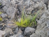 | Bulbostylis capillaris var. crebra Fernald | 1898 | C. H. Knowlton | Boston. |
 | Cantharellus infundibuliformis (Scop.) Fr. | 1898 | not recorded | Melrose. |
 | Cladonia coccifera (L.) Willd. | 1898 | Francis P Daniels | Cambridge |
 | Cladonia rangiferina (L.) Weber | 1898 | Francis P Daniels | Arlington Heights |
 | Cordyceps capitata (Holmsk.) Link | 1898 | Conant, [?] F. | Middlesex Fells |
 | Ctenidium malacodes Mitt. | 1898 | not recorded | |
 | Cucurbitaria elongata (Fr.) Grev. | 1898 | J. G. Hall | |
 | Acer carpinifolium Siebold & Zucc. | 1900 | A. K. Harrison | Harvard Botanic Garden, Cambridge. |
 | Acer palmatum var. dissectum (Thunb.) Miq. | 1900 | A. K. Harrison | Harvard Botanic Garden, Cambridge. |
 | Agaricus brunnescens Peck | 1900 | Morris, G. E. | Waltham |
All 1,400 specimens within 10 miles, at the Global Biodiversity Information Facility.
Mines and quarries near this place
10 of 14 shownRegional context, not property-specific evidence. The federal mineral resources record lists 14 workings within 5 miles of Stoneham: 5 past producers, 5 producers, 3 plants, 1 unknown. 8 still produce. What was taken out: Stone, Crushed/Broken, Silica, Peat, Clay. Distance is straight-line from the map coordinates, so a quarry counted here may appear on a neighbouring settlement's page as well.
| Where | Site | Commodity | Status | Recorded |
|---|---|---|---|---|
| Austin Hastings--Woburn, Ma. | Iron | Plant | ||
| Mahoney:S Rocky Ledge | Peat | Past Producer | Peat | |
| New England Crushing Co | Sand and Gravel, Construction | Past Producer | Sedimentary | |
| Rocky Ledge Pit | Clay | Past Producer | ||
| Ferro Ceramic Grinding--Wakefield | Silica | Plant | ||
| Syncor Prdts Co--Malden, Ma. | Silica | Plant | ||
| Malden Quarry | Stone, Crushed/Broken | Unknown | ||
| Malden Quarry | Stone, Crushed/Broken | Producer | ||
| Marlborough Plant/Polishing Plates | Stone, Crushed/Broken | Producer | ||
| Richardson Quarry | Stone, Crushed/Broken | Producer |
Storms near this place
2 since 1995Regional context, not property-specific evidence. The National Weather Service names Stoneham in 2 storm reports between 1995 and 2008: 1 thunderstorm wind, 1 flood. No death or injury is recorded in these reports. Each account below is quoted exactly as the forecast office filed it, from the NOAA Storm Events Database, and each date opens the federal record of that event.
| When | Event | Place named | Harm | What the report says |
|---|---|---|---|---|
| June 2008 | Flood | Stoneham | $10,000 | In Woburn, ten inches of water flowed across Main Street with water pouring out of the manhole covers. In Stoneham, heavy rain resulted in flooding on Maple Street where two cars were submerged; trapping their drivers. |
| April 1995 | Thunderstorm Wind | Stoneham | - | Winds gusted to 67 mph and tree limbs were blown down in Stoneham. |
Nearest settlements
The eight closest, with where each one stands in the county. Distances are straight-line, computed from the Geographic Names Information System coordinates.
| Map | Place | Distance | Sheets |
|---|---|---|---|
| Lindenwood | 0.5 miles | 46 | |
| Farm Hill | 1.1 miles | 46 | |
| Haywardville | 1.2 miles | 46 | |
| Montvale | 1.3 miles | 46 | |
| Winchester Highlands | 1.7 miles | 46 | |
| Walnut Hill | 1.9 miles | 46 | |
| Wakefield Junction | 1.9 miles | 46 | |
| Greenwood | 2.0 miles | 46 |
Provenance
This settlement is recorded in the Geographic Names Information System as feature 612824. The sheet list is computed by point-in-boundary test against the United States Geological Survey's historical topographic inventory. Both are works of the United States government and carry no copyright under 17 U.S.C. 105.
Wildfire. Short, Karen C. 2022. Spatial wildfire occurrence data for the United States, 1992-2020 [FPA_FOD_20221014]. 6th Edition. Fort Collins, CO: Forest Service Research Data Archive. https://doi.org/10.2737/RDS-2013-0009.6 Collected with United States Government funding and usable without additional permissions or fees.
Specimens. Global Biodiversity Information Facility (GBIF), https://www.gbif.org/. Only records licensed CC0 or CC BY are used. Records licensed CC BY-NC are excluded because this site carries advertising. Images are checked individually and any whose licence is non-commercial, no-derivatives or unreadable is refused.
Mines and quarries. USGS Mineral Resources Data System (MRDS) https://mrdata.usgs.gov/mrds/ A work of the United States government, no copyright under 17 U.S.C. 105.
Storms. NOAA National Centers for Environmental Information, Storm Events Database https://www.ncei.noaa.gov/stormevents/ A work of the United States government, no copyright under 17 U.S.C. 105. Narratives are quoted verbatim from the National Weather Service report and are not edited or summarised.