 Block
Block
Belmont, Massachusetts
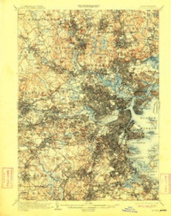
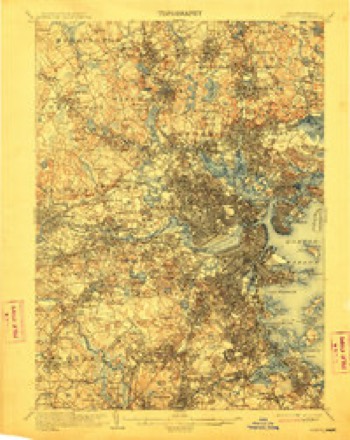
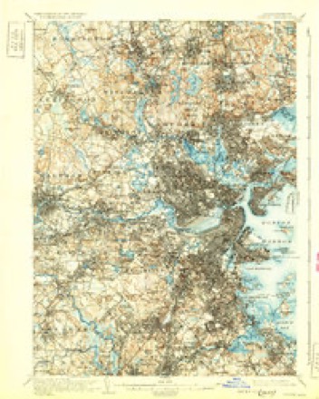
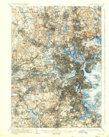
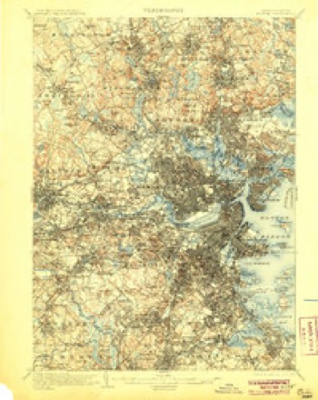
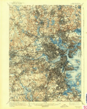
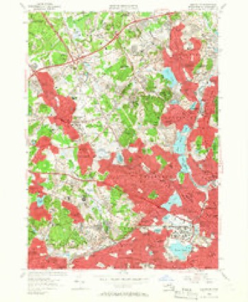
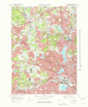
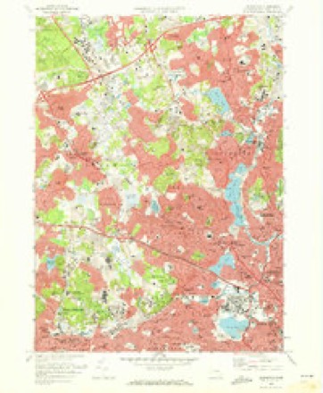
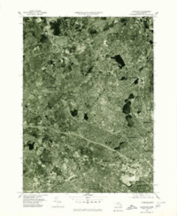
46 topographic sheets cover this place, the earliest surveyed in 1893 and the latest in 1989. It stands in Belmont town. It lies in ZIP code area 02478. It stands on Wellington Hill. The Survey maps it on the Lexington quadrangle. 27,295 people lived here at the 2020 count.
Population over time
2 figuresBelmont grew from 24,729 to 27,295 between 2010 and 2020. These are the recorded population figures Wikidata holds for this place, reached through the Geographic Names Information System number this page is keyed on rather than by name, so they belong to this place and not to another of the same name. Most are census counts, but not all are: an early figure may be a founding or settlement estimate. The change column is computed, and is left blank where more than 20 years separate a figure from the one before it, because a gap that long is not a change between two counts.
| Year | People | Change |
|---|---|---|
| 2010 | 24,729 | |
| 2020 | 27,295 | +2,566 (+10%) |
Then and now
1893 to 1989The same ground, surveyed 96 years apart. Drag the handle to wipe between them. Both sheets are United States Geological Survey originals; neither has been altered.

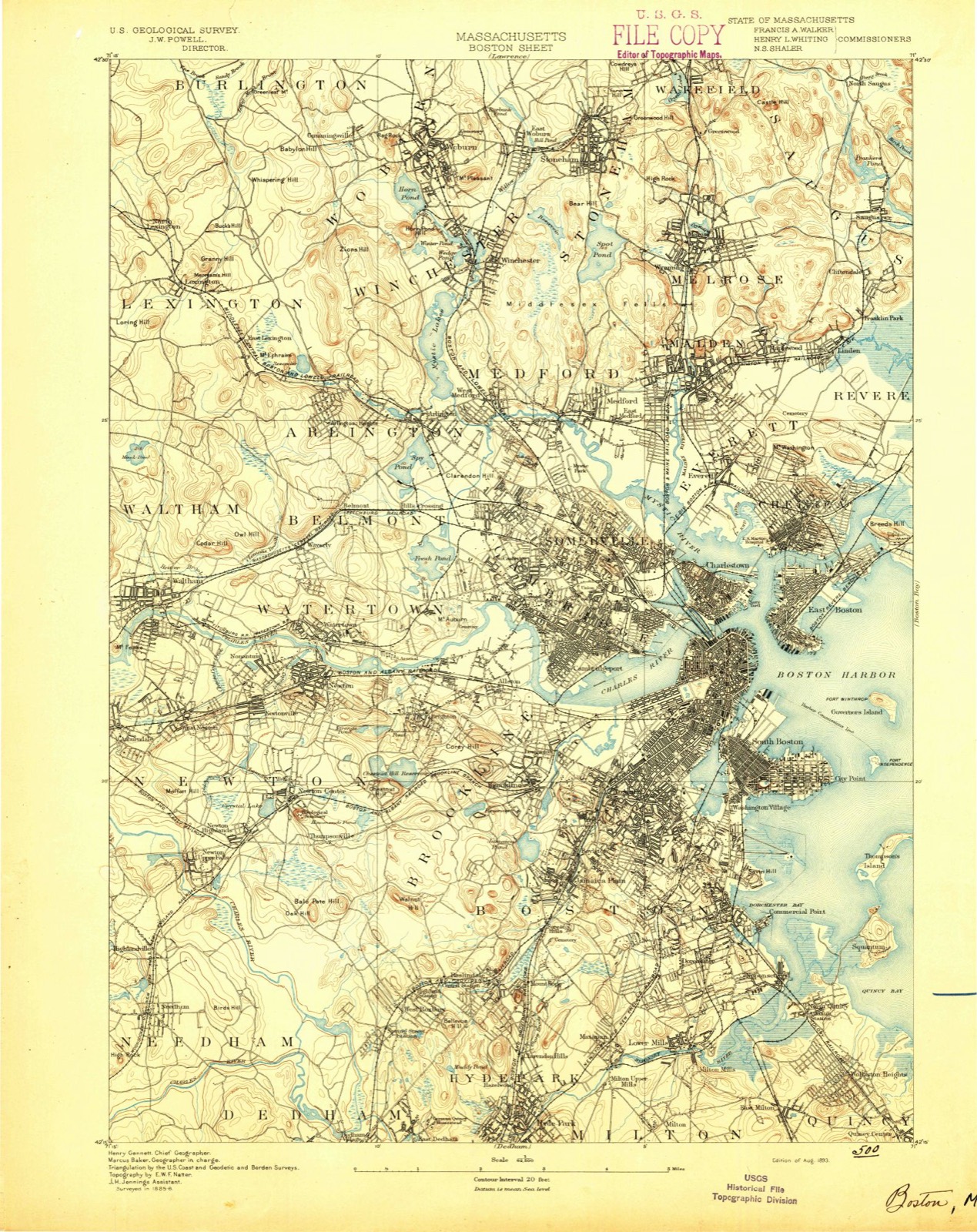
Topographic sheets covering this place
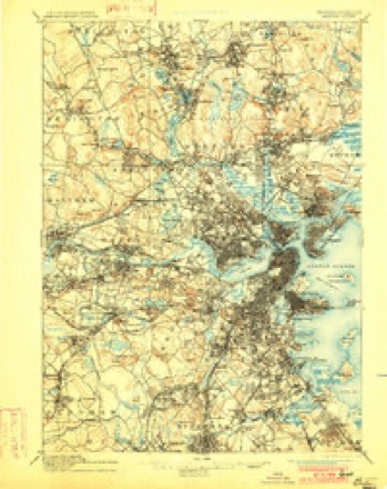
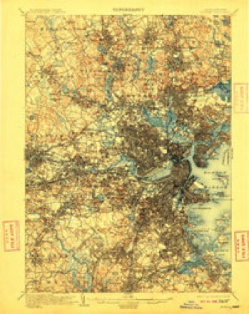
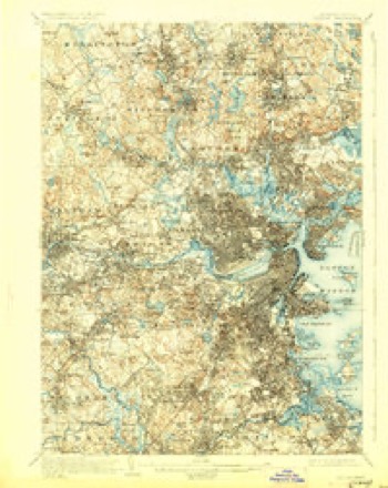
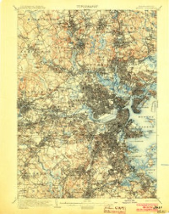
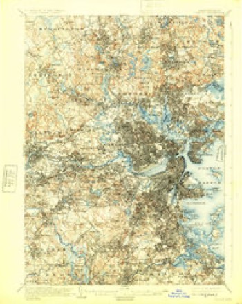
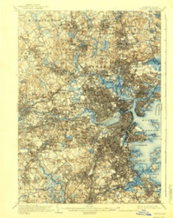
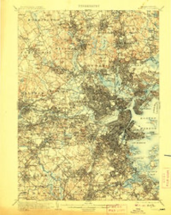
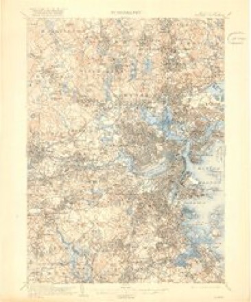
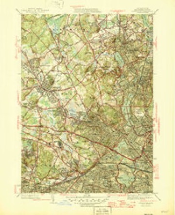
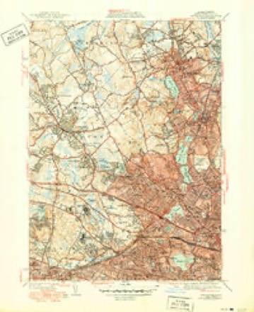
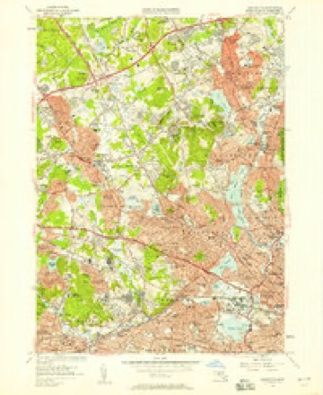
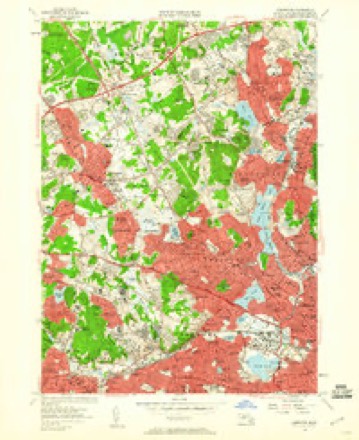
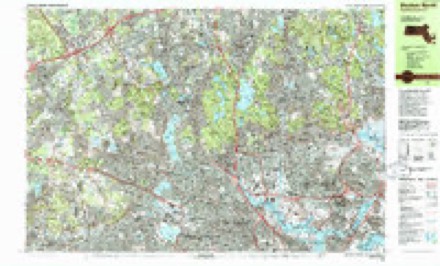
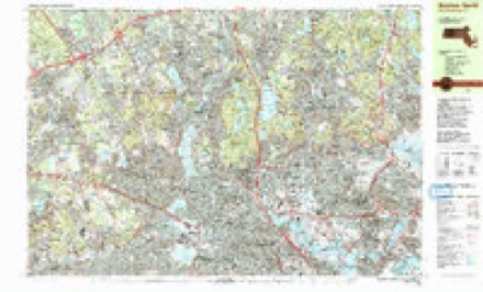
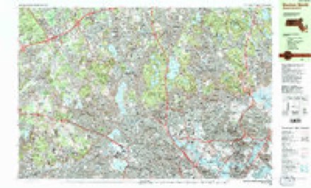
46 sheetsMatched by testing this settlement's coordinate against the published boundary of every sheet in the United States Geological Survey's historical collection. Each opens the scanned sheet at the Survey.
- 1893 USGS Boston quadrangle1:62500
- 1893 USGS Boston quadrangle1:62500
- 1893 USGS Boston quadrangle1:62500
- 1893 USGS Boston quadrangle1:62500
- 1903 USGS Boston quadrangle1:62500
- 1903 USGS Boston quadrangle1:62500
- 1903 USGS Boston quadrangle1:62500
- 1903 USGS Boston quadrangle1:62500
- 1903 USGS Boston quadrangle1:62500
- 1903 USGS Boston quadrangle1:62500
- 1903 USGS Boston quadrangle1:62500
- 1903 USGS Boston quadrangle1:62500
- 1903 USGS Boston quadrangle1:62500
- 1903 USGS Boston quadrangle1:62500
- 1903 USGS Boston quadrangle1:62500
- 1903 USGS Boston quadrangle1:62500
- 1903 USGS Boston quadrangle1:62500
- 1943 USGS Boston quadrangle1:125000
- 1944 USGS Lexington quadrangle1:24000
- 1946 USGS Lexington quadrangle1:31680
- 1946 USGS Lexington quadrangle1:31680
- 1946 USGS Lexington quadrangle1:31680
- 1948 USGS Boston quadrangle1:250000
- 1948 USGS Boston quadrangle1:250000
- 1956 USGS Boston quadrangle1:250000
- 1956 USGS Boston quadrangle1:250000
- 1956 USGS Boston quadrangle1:250000
- 1956 USGS Boston quadrangle1:250000
- 1956 USGS Boston quadrangle1:250000
- 1956 USGS Boston quadrangle1:250000
- 1956 USGS Lexington quadrangle1:24000
- 1956 USGS Lexington quadrangle1:24000
- 1956 USGS Lexington quadrangle1:24000
- 1958 USGS Boston quadrangle1:250000
- 1958 USGS Boston quadrangle1:250000
- 1961 USGS Boston quadrangle1:250000
- 1961 USGS Boston quadrangle1:250000
- 1971 USGS Lexington quadrangle1:25000
- 1971 USGS Lexington quadrangle1:24000
- 1977 USGS Lexington quadrangle1:25000
- 1985 USGS Boston quadrangle1:100000
- 1985 USGS Boston North quadrangle1:25000
- 1985 USGS Boston North quadrangle1:25000
- 1985 USGS Boston North quadrangle1:25000
- 1989 USGS Boston quadrangle1:100000
- 1989 USGS Boston quadrangle1:100000
















In the county-history sources
15,115 words on this townshipHistory of Middlesex County, Massachusetts, with Biographical Sketches of Many of Its Pioneers and Prominent Men, published 1890 names this settlement in its chapter on Belmont Town. These are the passages that mention it, exactly as the scans read.
It was said, somewhat irreverently, by an earnest advocate of the Hoo.sac Tunnel, before that wonderful triumph of modern engineering had become an accomplished fact, that the finger of God marked the valleys of the Deerfield and Hoosac Rivers for the location of a great railroad, and the full force of the remark is readily grasped by any one who, standing on the ridge which separates those streams, observes the line of deeper green which indicates the descent of the hills on either hand to the course of the waters below. The objection was at once offered that, to make this argument avail, the finger should have pierced the mountain, and thus have made the route complete. Human enterprise has now supplied that which was lacking, and from the Atlantic plain of the Mystic and the Charles, across the valleys of the Nashua and the Connecticut with its tributaries, under and between the highlands of the Green and Taconic Ranges, the iron horse makes his regular journeys to meet the waters of the Hudson at Troy, It is interesting to note how, in its advance from one river system to another, the railroad has seized upon a depression here in the mountain wall of separation, a sloping upland there, and to observe again how communities spring into being all along the lines that help to tie the opposite ends of the land together. No town in New England, unless it be a railroad centre, owes its existence as a distinct municipality more directly to railroad enterprise, than does the town of Belmont. Its struggle for birth ended happily in the same contest that determined the completion of the Hoosac Tunnel, and there was a peculiar fitness in the union of the friends of the town and the advocates of the Tunnel in their ettbrts.
Passage source: History of Middlesex County, Massachusetts, with Biographical Sketches of Many of Its Pioneers and Prominent Men, published 1890.
In the gradual growth of the ice trade, which was for so long a period of years an important factor in the development of Boston as a leading port of commerce, a railroad had been built from Charlestown to Fresh Pond, for the purpose of carrying its ice to tidewater. An extension of this road to the westward was projected. To pass from the valley of the Mystic to that of the Charles the most feasible route was found to be between Fresh and Spy Ponds, and thence along the southern border of Wellington Hill. At the western extremity of the hill, a slight elevation turns Beaver Brook from a southerly to a westerly direction, and causes it to empty its waters into the Charles River at Waltham, and the location of the railroad followed the brook in its westerly course. Aside fron> the advantages of this route, as determined by the topographical survey - advantages so great that another highway to the West has since taken the same outlet - it was an additional recommendation that the valley at the base of Wellington Hill was sparsely populated. It formed the outskirts of two old towns. Watertown and West Cambridge (now Arlington), and was, by reason of its remoteness from the centres of those towns, occupied exclusively by a farming population. In 1848 a charter was obtained for the Fitchburg Railroad, and it was opened to Waltham in December of that year. At the crossing of Concord Turnpike was placed the station of Wellington Hill, destined to make the centre of the charming surburban town of Belmont. At this time there were about one hundred and twenty-five families residing upon the territory now included within the limits of the town. Improved facilities for communication with the neighboring metropolis led to a steady growth in numbers. The increase was not rapid. There was no place of public worship nearer than West Cambridge or Watertown, no store, post-office, nor public hall. The policy of the railroad in respect to train accommodations and rates of fare was a fluctuating one, as, indeed, it continued to be for many years. The roads and the schools were not such as to otter special attractions to those seeking a residence.
Passage source: History of Middlesex County, Massachusetts, with Biographical Sketches of Many of Its Pioneers and Prominent Men, published 1890.
For much of the early history of the territory now included within the limits of Belmont, one must look to the town from which it came. There was but little common interest among its scattered inhabitants until they united in the struggle for corporate existence. Ecclesiastically, politically and socially, they were identified with the towns in which they dwelt. In the latter part of the year 18.55 the need of a suitable building for public worship became felt to such a degree that January 1, 1856, a paper was put in circulation upon which the sum of $7000 was pledged in amounts ranging from $100 to $500. At a meeting held January 3d, of that year, the following committee was chosen to build a " meetinghouse:" David Mack (chairman), Samuel O. Mead, Charles Stone, Edwin Locke, Albert Higgins, John L. Alexander and J. M. Hollingsworth. In September, Mr. Mack resigned his position and J. Oliver Wellington was elected chairman in his stead. The church was located on Concord Turnpike, near the railroad station. It was built by John C. Sawin from plans by Enoch Fuller, and was completed in the fall of 1857. Its total cost was about $13,000. The church was dedicated December 2, 1857, and was occupied as a place of worship by the Belmont Congregational Society (Unitarian) until February 12, 1890, when it was destroyed by fire. At the time of the fire it had become the property of J. V. Fletcher. Nearly two years before it had been decid- the ladies of the Arachne Club ; subscriptions were secured, and entertaiuraenta in aid of the enterprise were given, prominent among the subscribers being the firm of J. V. Fletcher & Co. and Edwin F. Atkins, who gave $5000 each. The building committee consisted of J. Henry Fletcher, William E. Stowe, H. O. Underwood, Mrs. J. M. Hernandez and John F. Richardson. A site having been selected, nearly opposite the old church, the new building was erected in 1889, at a cost of upwards of $2G,000. Hartwell & Richardson were the architects of the new church, and the builder was E. Atwood, Jr. The walls are of field stone, the gables and tower of wood, covered with cement plaster. The tower, at the northerly corner of the building, contains the bell from the old church and a clock provided by the town. Within, the finish is of cypress, the roof of the auditorium being of hard pine. Beautiful memorial windows are placed in this room. The vestry and ladies' parlor are upon the same floor as the large audience-room, and can be made a part of it when required, and a well-appointed kitchen and dining-room testify to the fact that the modern church supplements its work as a factor in Christian civilization by ministering to the social needs of humanity. The church was dedicated April 9, 1890, with appropriate .services, including an original hymn by the pastor, and the dedicatory sermon by Rev. Brooke Herford, of Boston.
Passage source: History of Middlesex County, Massachusetts, with Biographical Sketches of Many of Its Pioneers and Prominent Men, published 1890.
Machine-read from a century-old scan, so expect the errors a machine makes: misspelled names, dropped words, stray characters.
Read the whole chapter on Belmont Town - it names this place 35 more 35 times.
Fires near this place
47 since 2015Regional context, not property-specific evidence. The federal wildfire occurrence database lists 47 fires within 5 miles of Belmont between 2015 and 2020, burning about 94 acres in total. None started naturally. 24 were recorded as arson. Distance is straight-line from the map coordinates, so a fire counted here may appear on a neighbouring settlement's page as well.
| Reported cause | Fires |
|---|---|
| Arson/incendiarism | 24 |
| Missing data/not specified/undetermined | 11 |
| Debris and open burning | 6 |
| Smoking | 2 |
| Recreation and ceremony | 2 |
| Misuse of fire by a minor | 2 |
The most recent of them, most recent first, with the day each was reported and the service that recorded it.
| Date | Cause | Size | Reported by | Name on the report |
|---|---|---|---|---|
| 8 September 2020 | Missing data/not specified/undetermined | under an acre | Massachusetts Bureau of Forest Fire Control | not named |
| 4 September 2018 | Missing data/not specified/undetermined | under an acre | Massachusetts Bureau of Forest Fire Control | not named |
| 3 September 2018 | Debris and open burning | under an acre | Massachusetts Bureau of Forest Fire Control | not named |
| 3 September 2018 | Missing data/not specified/undetermined | under an acre | Massachusetts Bureau of Forest Fire Control | not named |
| 18 September 2016 | Arson/incendiarism | under an acre | Massachusetts Bureau of Forest Fire Control | MELROSE |
| 18 September 2015 | Arson/incendiarism | under an acre | Massachusetts Bureau of Forest Fire Control | MELROSE |
| 5 August 2016 | Arson/incendiarism | under an acre | Massachusetts Bureau of Forest Fire Control | MEDFORD |
| 5 August 2015 | Arson/incendiarism | 6.0 acres | Massachusetts Bureau of Forest Fire Control | MEDFORD |
Settlements close enough to share some of these fires:
Specimens collected near this place
12 of 2,086 shownRegional context, not property-specific evidence. Museums hold 2,086 specimens collected within 10 miles of Belmont between 1898 and 1975: 931 Animalia, 646 Plantae, 440 Fungi, 29 Protozoa, 17 Bacteria, 14 Chromista, 9 Unrecorded. 12 distinct Species records are shown. Collected by ?, A B Seymour, A B. Proper and others. Each is a physical object with a catalogue number, and each entry opens the museum's record. This is what was collected and kept, not a survey of what lives here - nothing can be concluded from a species being absent.
| Image | Species | Year | Collected by | Where, as recorded |
|---|---|---|---|---|
 | Corvus brachyrhynchos brachyrhynchos C.L.Brehm, 1822 | 1900 | not recorded | Wayland |
 | Trientalis borealis Raf. | 1900 | A. P. Chute | |
| Aglaospora profusa (Fr.) De Not. | 1898 | Collector unspecified | ||
 | Antennaria howellii subsp. canadensis (Greene) R.J.Bayer | 1898 | Williams, E.F. | |
 | Antennaria parlinii subsp. fallax (Greene) R.J.Bayer & Stebbins | 1898 | not recorded | |
 | Antennaria plantaginifolia (L.) Hook. | 1898 | not recorded | |
 | Boletus griseus Frost | 1898 | H. Webster | |
 | Acanthis flammea flammea (Linnaeus, 1758) | 1900 | ZAPPEY, W R | ROSLINDALE |
 | Acer carpinifolium Siebold & Zucc. | 1900 | A. K. Harrison | Harvard Botanic Garden, Cambridge. |
 | Acer palmatum var. dissectum (Thunb.) Miq. | 1900 | A. K. Harrison | Harvard Botanic Garden, Cambridge. |
 | Agaricus brunnescens Peck | 1900 | Morris, G. E. | Waltham |
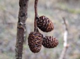 | Alnus incana subsp. rugosa (Du Roi) R.T.Clausen | 1900 | J. Murdoch, Jr. | Roxbury |
All 2,086 specimens within 10 miles, at the Global Biodiversity Information Facility.
Mines and quarries near this place
10 of 11 shownRegional context, not property-specific evidence. The federal mineral resources record lists 11 workings within 5 miles of Belmont: 5 past producers, 5 plants, 1 producer. 6 still produce. What was taken out: Stone, Crushed/Broken, Sand and Gravel, Construction, Iron, Lead. Distance is straight-line from the map coordinates, so a quarry counted here may appear on a neighbouring settlement's page as well.
| Where | Site | Commodity | Status | Recorded |
|---|---|---|---|---|
| Mahoney:S Rocky Ledge | Peat | Past Producer | Peat | |
| Nrc Inc--Newton, Ma. | Tantalum, Niobium (Columbium) | Plant | ||
| Rocky Ledge Pit | Clay | Past Producer | ||
| (Facility) Cambridge Smelter Co | Lead | Plant | ||
| Burton Pit | Sand and Gravel, Construction | Past Producer | ||
| C. J. Mabardy | Sand and Gravel, Construction | Past Producer | ||
| Industrial Serv. Centers--Cambridge | Iron | Plant | ||
| Massachusetts Broken Stone Co | Stone, Crushed/Broken | Past Producer | ||
| Somerville Smelting Co. | Lead | Plant | ||
| Weston Mine | Stone, Crushed/Broken | Producer |
Storms near this place
10 since 1995Regional context, not property-specific evidence. The National Weather Service names Belmont in 10 storm reports between 1995 and 2025: 4 thunderstorm wind, 3 hail, 2 flood, 1 heavy rain. No death or injury is recorded in these reports. Each account below is quoted exactly as the forecast office filed it, from the NOAA Storm Events Database, and each date opens the federal record of that event.
| When | Event | Place named | Harm | What the report says |
|---|---|---|---|---|
| July 2006 | Thunderstorm Wind | Belmont | $35,000 | no account filed |
| June 2010 | Thunderstorm Wind | Belmont | $30,000 | Numerous trees and wires were downed by thunderstorm winds, including one tree that fell on a house on the Concord Turnpike. |
| July 2025 | Thunderstorm Wind | Belmont | $5,000 | In Belmont, a tree was down on a house on Park Rd. |
| April 2018 | Flood | Belmont | - | At 2:35 PM EST, an amateur radio operator reported street flooding on Park Avenue near the Belmont Hill School. |
| June 2018 | Flood | Belmont | - | At 12:40 AM EST, Beech Street in Belmont was reported flooded and impassable from Waverly Road to Upland Road. |
| August 2015 | Hail | Belmont | - | no account filed |
| July 2008 | Hail | Belmont | - | no account filed |
| July 2004 | Hail | Belmont | - | no account filed |
| June 2000 | Heavy Rain | Belmont | - | no account filed |
| September 1995 | Thunderstorm Wind | Belmont | - | no account filed |
Nearest settlements
The eight closest, with where each one stands in the county. Distances are straight-line, computed from the Geographic Names Information System coordinates.
| Map | Place | Distance | Sheets |
|---|---|---|---|
| Waverley | 0.6 miles | 46 | |
| Payson Park | 1.3 miles | 46 | |
| Arlington Heights | 1.7 miles | 46 | |
| Watertown | 1.7 miles | 46 | |
| Strawberry Hill | 1.8 miles | 46 | |
| Arlington | 1.8 miles | 46 | |
| East Arlington | 1.8 miles | 46 | |
| Brattle | 1.9 miles | 46 |
Elsewhere
Matched on this settlement's Geographic Names Information System number rather than its name, so it cannot be a different place of the same name in another state.
| Wikidata item Q12156125 | The structured record the population and elevation above come from. Public domain (CC0). |
Provenance
This settlement is recorded in the Geographic Names Information System as feature 612147. The sheet list is computed by point-in-boundary test against the United States Geological Survey's historical topographic inventory. Both are works of the United States government and carry no copyright under 17 U.S.C. 105.
Wildfire. Short, Karen C. 2022. Spatial wildfire occurrence data for the United States, 1992-2020 [FPA_FOD_20221014]. 6th Edition. Fort Collins, CO: Forest Service Research Data Archive. https://doi.org/10.2737/RDS-2013-0009.6 Collected with United States Government funding and usable without additional permissions or fees.
Specimens. Global Biodiversity Information Facility (GBIF), https://www.gbif.org/. Only records licensed CC0 or CC BY are used. Records licensed CC BY-NC are excluded because this site carries advertising. Images are checked individually and any whose licence is non-commercial, no-derivatives or unreadable is refused.
Mines and quarries. USGS Mineral Resources Data System (MRDS) https://mrdata.usgs.gov/mrds/ A work of the United States government, no copyright under 17 U.S.C. 105.
Storms. NOAA National Centers for Environmental Information, Storm Events Database https://www.ncei.noaa.gov/stormevents/ A work of the United States government, no copyright under 17 U.S.C. 105. Narratives are quoted verbatim from the National Weather Service report and are not edited or summarised.