 Block
Stoneville, Massachusetts
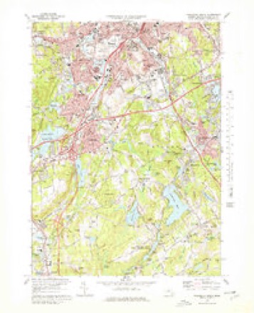
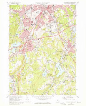
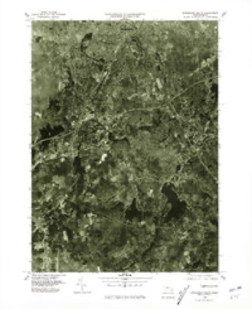
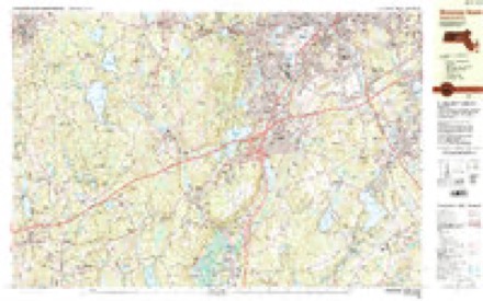
44 topographic sheets cover this place, the earliest surveyed in 1889 and the latest in 1989. It stands in Auburn town. It lies in ZIP code area 01501. It stands on Dark Brook. The Survey maps it on the Worcester South quadrangle.
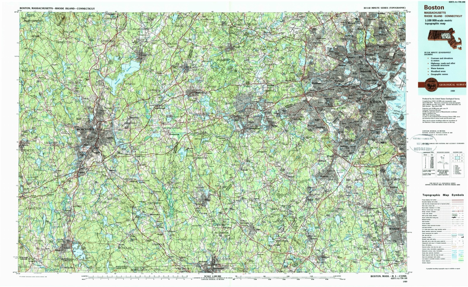
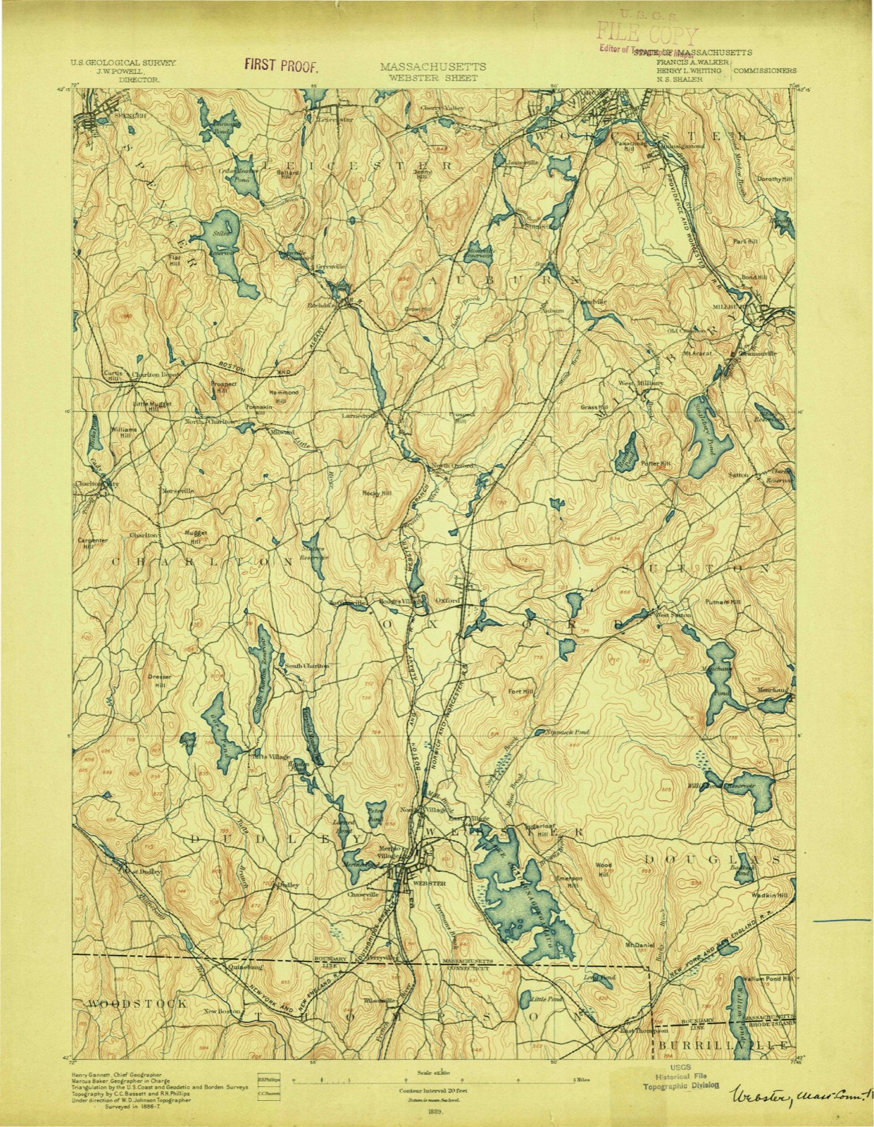
Then and now
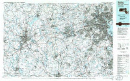
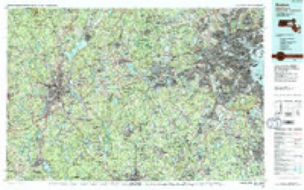
1889 to 1989The same ground, surveyed 100 years apart. Drag the handle to wipe between them. Both sheets are United States Geological Survey originals; neither has been altered.
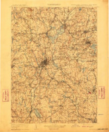
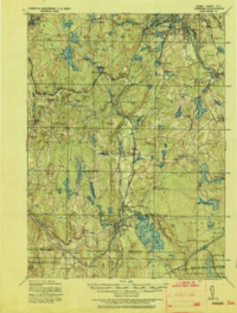
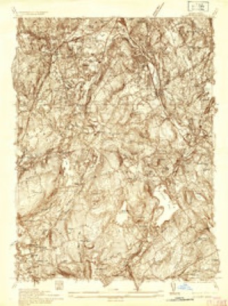
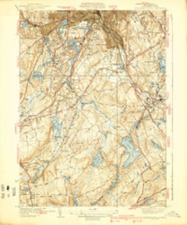
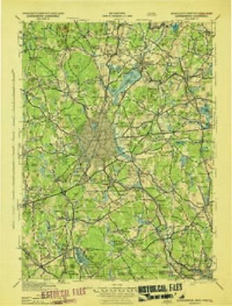
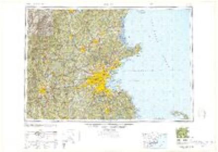
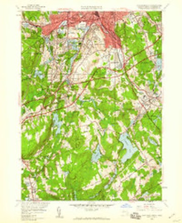
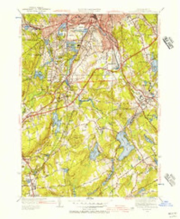
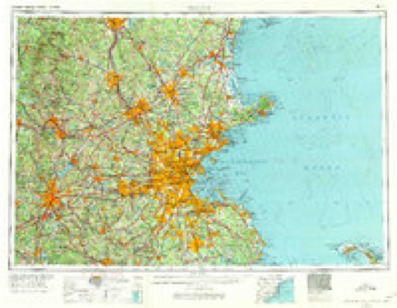
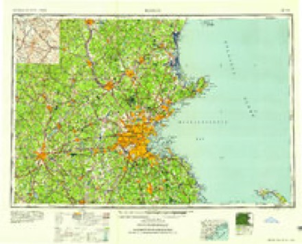
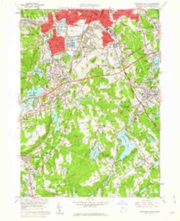
Topographic sheets covering this place
20 surveys from 44 printed sheetsMatched by testing this settlement's coordinate against the published boundary of every sheet in the United States Geological Survey's historical collection. Each opens the scanned sheet at the Survey.
- 1889 USGS Webster quadrangle1:62500
- 1892 USGS Webster quadrangle1:62500, 9 printings
- 1908 USGS Quinsigamond quadrangle1:125000, 3 printings
- 1921 USGS Webster quadrangle1:62500
- 1935 USGS Millbury quadrangle1:24000
- 1939 USGS Worcester South quadrangle1:31680, 4 printings
- 1943 USGS Quinsigamond quadrangle1:125000
- 1948 USGS Boston quadrangle1:250000, 2 printings
- 1948 USGS Worcester South quadrangle1:24000
- 1948 USGS Worcester South quadrangle1:31680
- 1956 USGS Boston quadrangle1:250000, 6 printings
- 1958 USGS Boston quadrangle1:250000, 2 printings
- 1960 USGS Worcester South quadrangle1:24000, 2 printings
- 1961 USGS Boston quadrangle1:250000, 2 printings
- 1973 USGS Worcester South quadrangle1:25000
- 1973 USGS Worcester South quadrangle1:24000
- 1975 USGS Worcester South quadrangle1:25000
- 1983 USGS Worcester South quadrangle1:25000, 2 printings
- 1985 USGS Boston quadrangle1:100000
- 1989 USGS Boston quadrangle1:100000, 2 printings
In the county-history sources
5,419 words on this townshipHistory of Worcester County, Massachusetts, published 1889 names this settlement in its chapter on Auburn Town. These are the passages that mention it, exactly as the scans read.
Cross. From its broad plateau one gets a fine view of Stoneville, Leicester steeples on the western horizon, Millbury, Grafton and Shrewsbury, Mt. Asnebumskitand blue Wachusett. Grassy Hill bordersou West Millbury, Prospect Hill stretches from West Auburn across the Oxford line. Growl and Beer's Hills rise in the northwest corner. We find our Auburn not the "loveliest village of the plain." The population is fairly distributed, the factory precinct of Stoneville being the more thickly built up. Pondville lies east of the centre. The inhabitants generally are farmers whose great barns show the tons of hay produced and the quantity of stock raised. Towns adjacent have a larger territory and population, and, with the exception of Millbury, a more ancient record. Our history narrates the origin, the doings and the present condition of an average New England rural community.
Passage source: History of Worcester County, Massachusetts, published 1889.
The Roman Catholic Church at Stoneville began as a mission in 1870. It is now under the pastoral supervision of Father Boylen, who lives in Oxford. They have a neat sanctuary on the hill, with a fine view of the Holy Cross College in Worcester, distant less than two miles.
Passage source: History of Worcester County, Massachusetts, published 1889.
A school of a higher grade was held in the fall of 1875, whose pupils enjoyed the thorough instruction in High School studies of a Yale graduate, resident still in town. We have two hundred and forty children between five and fifteeu years old, six schooldistricts, with seven schools ; the Stoneville building, erected in 1872, housing two schools, with an annual appropriation of $1,300, added to which is the State school fund and the dog- tax.
Passage source: History of Worcester County, Massachusetts, published 1889.
Machine-read from a century-old scan, so expect the errors a machine makes: misspelled names, dropped words, stray characters.
Fires near this place
67 since 2015Regional context, not property-specific evidence. The federal wildfire occurrence database lists 67 fires within 5 miles of Stoneville between 2015 and 2020, burning about 55 acres in total. None started naturally. 4 were recorded as arson. Distance is straight-line from the map coordinates, so a fire counted here may appear on a neighbouring settlement's page as well.
| Reported cause | Fires |
|---|---|
| Debris and open burning | 21 |
| Smoking | 15 |
| Recreation and ceremony | 15 |
| Missing data/not specified/undetermined | 6 |
| Arson/incendiarism | 4 |
| Railroad operations and maintenance | 2 |
| Misuse of fire by a minor | 1 |
| Other causes | 1 |
| Power generation/transmission/distribution | 1 |
| Equipment and vehicle use | 1 |
The most recent of them, most recent first, with the day each was reported and the service that recorded it.
| Date | Cause | Size | Reported by | Name on the report |
|---|---|---|---|---|
| 8 September 2015 | Smoking | under an acre | Massachusetts Bureau of Forest Fire Control | not named |
| 3 September 2018 | Debris and open burning | under an acre | Massachusetts Bureau of Forest Fire Control | not named |
| 3 September 2018 | Debris and open burning | under an acre | Massachusetts Bureau of Forest Fire Control | not named |
| 14 September 2016 | Debris and open burning | under an acre | Massachusetts Bureau of Forest Fire Control | not named |
| 26 August 2020 | Smoking | under an acre | Massachusetts Bureau of Forest Fire Control | not named |
| 13 August 2020 | Missing data/not specified/undetermined | under an acre | Massachusetts Bureau of Forest Fire Control | not named |
| 6 July 2015 | Misuse of fire by a minor | under an acre | Massachusetts Bureau of Forest Fire Control | not named |
| 5 June 2020 | Debris and open burning | under an acre | Massachusetts Bureau of Forest Fire Control | not named |
Settlements close enough to share some of these fires:
Specimens collected near this place
12 of 1,654 shownRegional context, not property-specific evidence. Museums hold 1,654 specimens collected within 10 miles of Stoneville between 1839 and 1974: 989 Plantae, 377 Animalia, 265 Fungi, 16 Unrecorded, 5 Protozoa, 2 Chromista. 12 distinct Species records are shown. Collected by A E WOODHEAD, A. A. Eaton, A. B. Seymour and others. Each is a physical object with a catalogue number, and each entry opens the museum's record. This is what was collected and kept, not a survey of what lives here - nothing can be concluded from a species being absent.
| Image | Species | Year | Collected by | Where, as recorded |
|---|---|---|---|---|
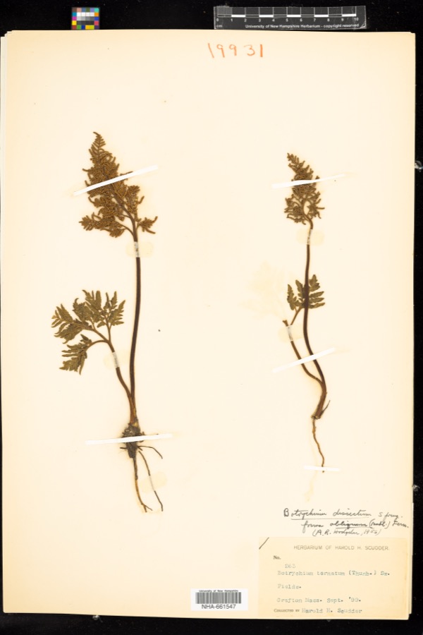 | Sceptridium dissectum (Spreng.) Lyon | 1899 | H. H. Scudder | |
 | Ochrolechia tartarea (L.) A.Massal. | 1839 | E. Tuckerman | |
 | Carex laxiflora Lam. | 1840 | Thomas Nuttall | Cambridge. |
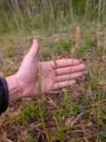 | Carex vestita Willd. | 1840 | Thomas Nuttall | Cambridge. |
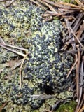 | Mycobilimbia hypnorum (Lib.) Kalb & Hafellner | 1848 | E. Tuckerman | |
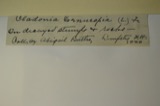 | Cladonia cornucopioides F.Wilson | 1850 | J. L. Russell | Leicester |
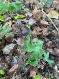 | Geranium maculatum L. | 1850 | not recorded | |
 | Packera aurea (L.) Á.Löve & D.Löve | 1850 | not recorded | |
 | Carex aperta Boott | 1853 | W. Boott | Massachusetts |
| Elymus repens (L.) Gould | 1892 | Arthur B. Seymour | Cambridge. | |
| Festuca pratensis Huds. | 1892 | Arthur B. Seymour | Cambridge. | |
| Hepatica americana (DC.) Ker Gawl. | 1892 | Clarence Kinney |
All 1,654 specimens within 10 miles, at the Global Biodiversity Information Facility.
Mines and quarries near this place
10 of 14 shownRegional context, not property-specific evidence. The federal mineral resources record lists 14 workings within 5 miles of Stoneville: 9 past producers, 3 producers, 2 plants. 5 still produce. What was taken out: Sand and Gravel, Construction, Iron, Lead. Distance is straight-line from the map coordinates, so a quarry counted here may appear on a neighbouring settlement's page as well.
| Where | Site | Commodity | Status | Recorded |
|---|---|---|---|---|
| Bd Bloomfield Co--Worcester, Ma. | Lead | Plant | ||
| Crucible Spec. Metals--Auburn, Ma. | Iron | Plant | ||
| 30 Southwest Cutoff Plant | Sand and Gravel, Construction | Producer | ||
| Auburn Pit | Sand and Gravel, Construction | Past Producer | ||
| Capa Corporation | Sand and Gravel, Construction | Past Producer | ||
| Crossover Pit | Sand and Gravel, Construction | Past Producer | ||
| Donald P Graves Sand and Gravel | Sand and Gravel, Construction | Past Producer | Sedimentary | |
| Highway Pit | Sand and Gravel, Construction | Past Producer | ||
| Lind Pit | Sand and Gravel, Construction | Past Producer | ||
| Oxford Quarry Plant #8 | Sand and Gravel, Construction | Producer |
Nearest settlements
The eight closest, with where each one stands in the county. Distances are straight-line, computed from the Geographic Names Information System coordinates.
| Map | Place | Distance | Sheets |
|---|---|---|---|
| Jamesville (historical) | 0.9 miles | 44 | |
| Drury Square | 0.9 miles | 44 | |
| Heard Street | 1.0 miles | 44 | |
| Woodland Park | 1.0 miles | 44 | |
| Jamesville | 1.4 miles | 44 | |
| Ludlow | 1.6 miles | 44 | |
| Auburn | 1.6 miles | 44 | |
| Valley Falls (historical) | 1.7 miles | 44 |
Provenance
This settlement is recorded in the Geographic Names Information System as feature 610699. The sheet list is computed by point-in-boundary test against the United States Geological Survey's historical topographic inventory. Both are works of the United States government and carry no copyright under 17 U.S.C. 105.
Wildfire. Short, Karen C. 2022. Spatial wildfire occurrence data for the United States, 1992-2020 [FPA_FOD_20221014]. 6th Edition. Fort Collins, CO: Forest Service Research Data Archive. https://doi.org/10.2737/RDS-2013-0009.6 Collected with United States Government funding and usable without additional permissions or fees.
Specimens. Global Biodiversity Information Facility (GBIF), https://www.gbif.org/. Only records licensed CC0 or CC BY are used. Records licensed CC BY-NC are excluded because this site carries advertising. Images are checked individually and any whose licence is non-commercial, no-derivatives or unreadable is refused.
Mines and quarries. USGS Mineral Resources Data System (MRDS) https://mrdata.usgs.gov/mrds/ A work of the United States government, no copyright under 17 U.S.C. 105.