 Block
Block
Stow, Ohio
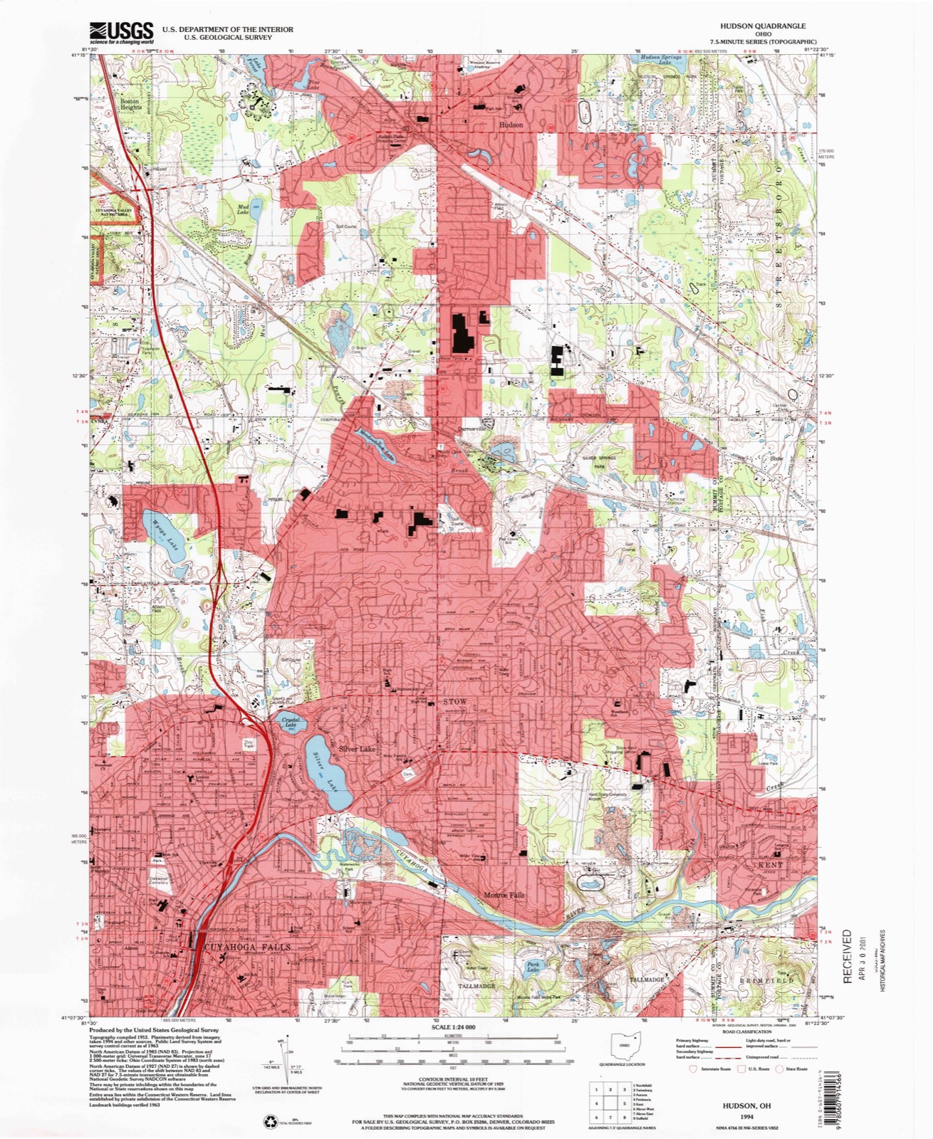
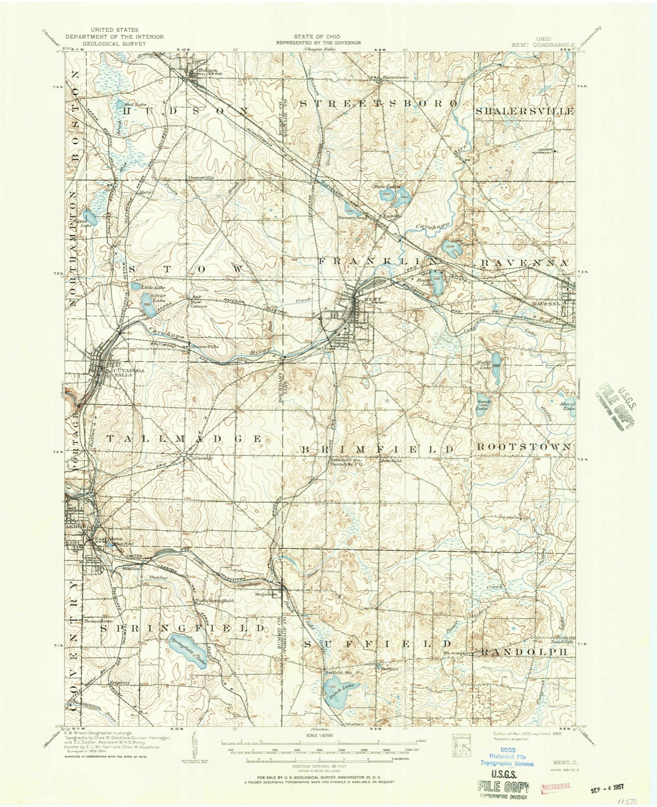
14 topographic sheets cover this place, the earliest surveyed in 1906 and the latest in 1994. It stands in Stow City. It lies in ZIP code area 44224. It stands on Walnut Creek. The Survey maps it on the Hudson quadrangle. 34,483 people lived here at the 2020 count. It stands 1,093 feet above sea level.
Population over time
2 figuresStow fell from 34,837 to 34,483 between 2010 and 2020. These are the recorded population figures Wikidata holds for this place, reached through the Geographic Names Information System number this page is keyed on rather than by name, so they belong to this place and not to another of the same name. Most are census counts, but not all are: an early figure may be a founding or settlement estimate. The change column is computed, and is left blank where more than 20 years separate a figure from the one before it, because a gap that long is not a change between two counts.
| Year | People | Change |
|---|---|---|
| 2010 | 34,837 | |
| 2020 | 34,483 | -354 (-1%) |
Then and now
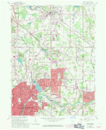
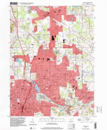
1906 to 1994The same ground, surveyed 88 years apart. Drag the handle to wipe between them. Both sheets are United States Geological Survey originals; neither has been altered.
Compare 1906 against another survey:
Topographic sheets covering this place
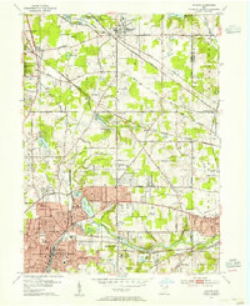
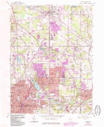
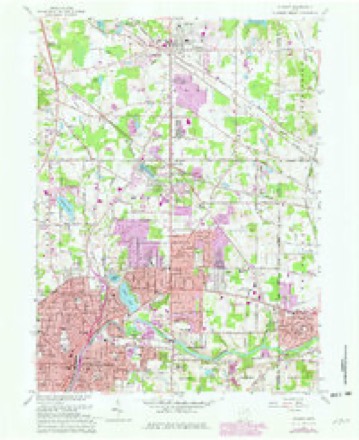
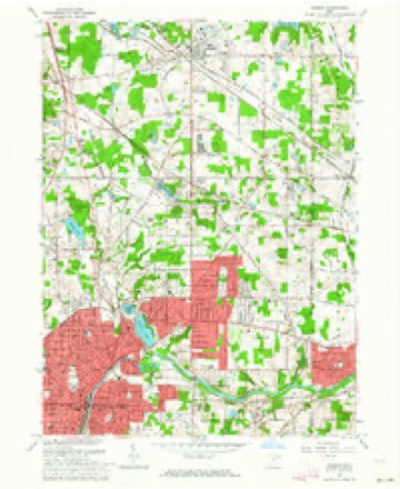
14 sheetsMatched by testing this settlement's coordinate against the published boundary of every sheet in the United States Geological Survey's historical collection. Each opens the scanned sheet at the Survey.
- 1906 USGS Kent quadrangle1:62500
- 1906 USGS Kent quadrangle1:62500
- 1953 USGS Hudson quadrangle1:24000
- 1956 USGS Cleveland quadrangle1:250000
- 1956 USGS Cleveland quadrangle1:250000
- 1956 USGS Cleveland quadrangle1:250000
- 1962 USGS Cleveland quadrangle1:250000
- 1963 USGS Hudson quadrangle1:24000
- 1963 USGS Hudson quadrangle1:24000
- 1963 USGS Hudson quadrangle1:24000
- 1963 USGS Hudson quadrangle1:24000
- 1986 USGS Cleveland South quadrangle1:100000
- 1994 USGS Cleveland South quadrangle1:100000
- 1994 USGS Hudson quadrangle1:24000






In the county-history sources
241 words on this townshipCentennial History of Summit County, Ohio and Representative Citizens, published 1908 names this settlement in its chapter on Stow City. These are the passages that mention it, exactly as the scans read.
settler in this township was William Walker, who in 1802, came from Virginia. He was followed in 1804 by William Wetmore, who built a hoiise at what is now called "Stow Corners." Other pioneers were Gregory Powers, John Campbell, John Gaylord, Adam Steele, George Darrow, Erastus Southmayd, James Daily, Isaac Wilcox and David Ruggles. The township was organized in 1808. It is now best known as the location of Silver Lake, a summer resort which is spreading its fame country-wide. Since the death of R. H. Lodge, his family have wisely continued his policies, under which great prosperity came upon Silver La.ke. Near by are two other beautiful lakes - Wyoga and Crystal Lake. Stow township also contains Monroe Falls, a village on the Cuyahoga River a few miles above Cuyahoga Falls. This village was founded in 1836 by Edmond Monroe, a wealthy capitalist of Boston, Mass. A number of mills had been erected there to make use of the water-power afforded by the falls in the river. Up to the advent of the Monroes it had been called Florence. Mr. Monroe organized the "Monroe Falls Manufacturing Company," and built a large store, many residences and the mill which is now used for the manufacture of paper. The township furnished 104 men to the country when our national life was threatened in 1861. W. Nickerson is now township clerk and Noel Beckley and W. R. Lodge are justices of the peace.
Passage source: Centennial History of Summit County, Ohio and Representative Citizens, published 1908.
Machine-read from a century-old scan, so expect the errors a machine makes: misspelled names, dropped words, stray characters.
Fires near this place
1 since 1999Regional context, not property-specific evidence. The federal wildfire occurrence database lists 1 fire within 5 miles of Stow between 1999 and 1999, burning about 2 acres in total. 1 started naturally. None was recorded as arson. Distance is straight-line from the map coordinates, so a fire counted here may appear on a neighbouring settlement's page as well.
| Reported cause | Fires |
|---|---|
| Natural | 1 |
The most recent of them, most recent first, with the day each was reported and the service that recorded it.
| Date | Cause | Size | Reported by | Name on the report |
|---|---|---|---|---|
| 31 March 1999 | Natural | 2.0 acres | Cuyahoga Valley National Park | ONEIL |
Settlements close enough to share some of these fires:
Specimens collected near this place
12 of 833 shownRegional context, not property-specific evidence. Museums hold 833 specimens collected within 10 miles of Stow between 1867 and 1975: 725 Animalia, 60 Plantae, 47 Fungi, 1 Unrecorded. 12 distinct Species records are shown. Collected by (no collector listed), A. Black, A. Woolman and others. Each is a physical object with a catalogue number, and each entry opens the museum's record. This is what was collected and kept, not a survey of what lives here - nothing can be concluded from a species being absent.
| Image | Species | Year | Collected by | Where, as recorded |
|---|---|---|---|---|
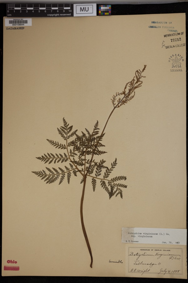 | Botrychium virginianum subsp. virginianum | 1888 | Wright, A.A. | Tallmadge. |
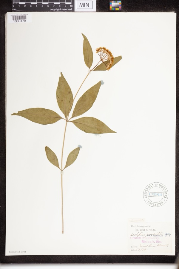 | Asclepias quadrifolia Jacq. | 1889 | Foltz, Kent O. | Sand Run Park; Akron |
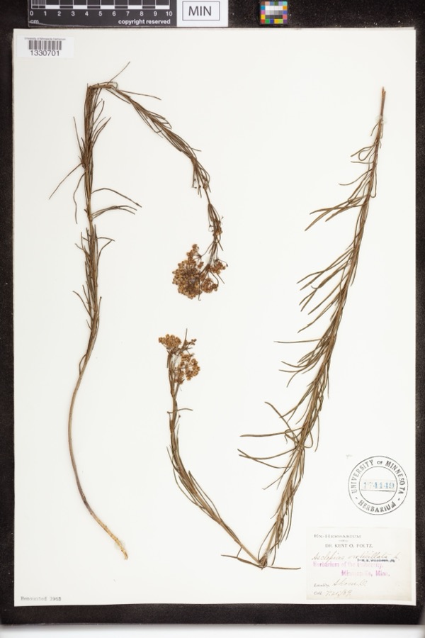 | Asclepias verticillata L. | 1889 | not recorded | Akron |
 | Accipiter striatus velox (A.Wilson, 1812) | 1867 | Collector(s): James Lee Peters | Akron |
 | Dryopteris carthusiana (Vill.) H.P.Fuchs | 1880 | F. O. Payne | Akron |
 | Buteo lineatus lineatus (Gmelin, 1788) | 1887 | B. Sanford | Hudson |
 | Hydrastis canadensis L. | 1888 | E.L. Sturtevant II | |
 | Lonicera dioica L. | 1888 | K. O. Foltz | |
 | Penstemon hirsutus (L.) Willd. | 1888 | K. O. Foltz | |
 | Carex pensylvanica Lam. | 1889 | Foltz, K.O. | Akron |
 | Gymnosporangium juniperi-virginianae Schwein. | 1889 | Reade M. C. | Hudson |
 | Peltandra virginica (L.) Schott | 1889 | Foltz, Kent O. | Akron; Blue Pond |
All 833 specimens within 10 miles, at the Global Biodiversity Information Facility.
Mines and quarries near this place
10 of 11 shownRegional context, not property-specific evidence. The federal mineral resources record lists 11 workings within 5 miles of Stow: 9 past producers, 2 producers. 2 still produce. What was taken out: Sand and Gravel, Construction. Distance is straight-line from the map coordinates, so a quarry counted here may appear on a neighbouring settlement's page as well.
| Where | Site | Commodity | Status | Recorded |
|---|---|---|---|---|
| Alden Pit | Sand and Gravel, Construction | Past Producer | ||
| Herbruck Trucking Pit | Sand and Gravel, Construction | Past Producer | Sedimentary | |
| Herbruck Trucking Pit | Sand and Gravel, Construction | Past Producer | ||
| Herms Pit | Sand and Gravel, Construction | Past Producer | Sedimentary | |
| Herms Pit | Sand and Gravel, Construction | Past Producer | ||
| Hudson Pit | Sand and Gravel, Construction | Past Producer | Sedimentary | |
| Northern Ohio Materials Hudson Pit | Sand and Gravel, Construction | Producer | ||
| Plant Number 2 | Sand and Gravel, Construction | Past Producer | ||
| Plant Number 2 | Sand and Gravel, Construction | Past Producer | Sedimentary | |
| Riverside Pit | Sand and Gravel, Construction | Producer |
Storms near this place
23 since 1996Regional context, not property-specific evidence. The National Weather Service names Stow in 23 storm reports between 1996 and 2025: 12 thunderstorm wind, 9 hail, 1 tornado, 1 flash flood. No death or injury is recorded in these reports. Each account below is quoted exactly as the forecast office filed it, from the NOAA Storm Events Database, and each date opens the federal record of that event.
| When | Event | Place named | Harm | What the report says |
|---|---|---|---|---|
| May 2014 | Flash Flood | Stow | $7,000,000 | The Stow/Silver Lakes region was significantly damaged by flash floods on the evening of May 12th. The Mayor reported that area raingages measured 4 to 4.5 inches of rainfall in an hour and a half between 930 pm and 1100 pm. The magnitude and intensity of the rainfall have a return frequency of a 500 year event. Infrastructure was overwhelmed by the runoff throughout the community. The hardest hit area was near State Route 91 and State Route 59 intersection where several businesses were damaged including a car dealership with 70 cars. The Holy Family Church and School sustained $3,000,000 in damages. Two homes suffered structural failures, one estimated as 4,000 square feet in size. There was a debris slide at the Silver Lakes Condominium Complex on SR 59 covering the parking lot with several feet of mud. North River Road sustained a complete washout. There was a sinkhole at Wilbur Drive covering half the road. A fire station and business was inundated with several inches of water on Hudson Drive. The Silver Lake Elementary Schools, Bolich Middle and High Schools were all damaged and closed. In all, at least 100 homes were damaged. A number of water rescues were conducted by no serious injuries reported. The flood was comparable to the 2003/2004 floods, but was expected to result in the worst monetary damages than either of those significant events. |
| September 2014 | Tornado (EF0) | Stow | $100,000 | An EF0 tornado touched down on the Stow-Munroe Falls High School property. No damage was observed at the high school. The tornado continued northeast for about one half mile and finally lifted near the intersection of Berwin Drive and Bunker Lake in the Quail Highlands neighborhood. The roof and chimney of one house was heavily damaged by the tornado. Four other houses nearby lost sections of roofing or siding. Many trees were also downed along the damage path which was no more than 50 yards in width. |
| June 2010 | Thunderstorm Wind | Stow | $2,000 | Thunderstorm winds downed a few large tree limbs. |
| June 2008 | Thunderstorm Wind | Stow | $2,000 | Several large limbs were reported down. |
| May 2004 | Hail | Stow | $2,000 | Quarter size hail was observed. |
| July 2010 | Thunderstorm Wind | Stow | $1,000 | Thunderstorm winds downed several large tree branches. |
| June 2025 | Thunderstorm Wind | Stow | - | Trees downed in Stow. |
| May 2025 | Thunderstorm Wind | Stow | - | Public report of a measured 64-mph peak straight-line convective wind gust in Stow. |
| July 2025 | Thunderstorm Wind | Stow | - | Several tree limbs downed about two-miles NNW of Stow. |
| April 2023 | Thunderstorm Wind | Stow | - | Several trees downed in Stow. |
| July 2023 | Thunderstorm Wind | Stow | - | Several large tree branches snapped in Stow. |
| April 2020 | Thunderstorm Wind | Stow | - | Large tree fell onto a car in Stow. Three utility poles were also knocked down at the same location. Facebook message provided photo of this damage. |
| September 2020 | Thunderstorm Wind | Stow | - | Tree uprooted and fell onto house in Stow. Time estimated via radar. |
| November 2020 | Thunderstorm Wind | Stow | - | Large tree down along OH-91 in Stow. |
| June 2015 | Hail | Stow | - | Penny sized hail was observed. |
| August 2011 | Hail | Stow | - | Penny sized hail was observed. |
| November 2011 | Hail | Stow | - | Penny sized hail was observed. |
| June 2010 | Thunderstorm Wind | Stow | - | A trained spotter estimated thunderstorm winds at 60 mph. |
| June 2008 | Hail | Stow | - | Nickel size hail was observed. |
| April 2006 | Hail | Stow | - | Penny size hail was reported. The hail covered the ground. |
| June 2004 | Hail | Stow | - | Penny size hail was observed. |
| June 2008 | Hail | Stow | - | no account filed |
| July 1996 | Hail | Stow | - | no account filed |
Nearest settlements
The eight closest, with where each one stands in the county. Distances are straight-line, computed from the Geographic Names Information System coordinates.
| Map | Place | Distance | Sheets |
|---|---|---|---|
| Silver Lake | 0.7 miles | 14 | |
| Munroe Falls | 1.0 miles | 14 | |
| Oregon Corners | 1.9 miles | 14 | |
| Fish Creek | 2.0 miles | 14 | |
| Metz | 2.7 miles | 14 | |
| Cuyahoga Falls | 2.9 miles | 14 | |
| Darrowville | 3.0 miles | 14 | |
| Iron Bridge (historical) | 3.7 miles | 21 |
Elsewhere
Matched on this settlement's Geographic Names Information System number rather than its name, so it cannot be a different place of the same name in another state.
| Wikipedia article on Stow | An encyclopaedic summary. Its text is share-alike, so it is linked here rather than copied. |
| Wikidata item Q1007079 | The structured record the population and elevation above come from. Public domain (CC0). |
Provenance
This settlement is recorded in the Geographic Names Information System as feature 1065392. The sheet list is computed by point-in-boundary test against the United States Geological Survey's historical topographic inventory. Both are works of the United States government and carry no copyright under 17 U.S.C. 105.
Wildfire. Short, Karen C. 2022. Spatial wildfire occurrence data for the United States, 1992-2020 [FPA_FOD_20221014]. 6th Edition. Fort Collins, CO: Forest Service Research Data Archive. https://doi.org/10.2737/RDS-2013-0009.6 Collected with United States Government funding and usable without additional permissions or fees.
Specimens. Global Biodiversity Information Facility (GBIF), https://www.gbif.org/. Only records licensed CC0 or CC BY are used. Records licensed CC BY-NC are excluded because this site carries advertising. Images are checked individually and any whose licence is non-commercial, no-derivatives or unreadable is refused.
Mines and quarries. USGS Mineral Resources Data System (MRDS) https://mrdata.usgs.gov/mrds/ A work of the United States government, no copyright under 17 U.S.C. 105.
Storms. NOAA National Centers for Environmental Information, Storm Events Database https://www.ncei.noaa.gov/stormevents/ A work of the United States government, no copyright under 17 U.S.C. 105. Narratives are quoted verbatim from the National Weather Service report and are not edited or summarised.