 Block
Block
Sugar Valley, Ohio
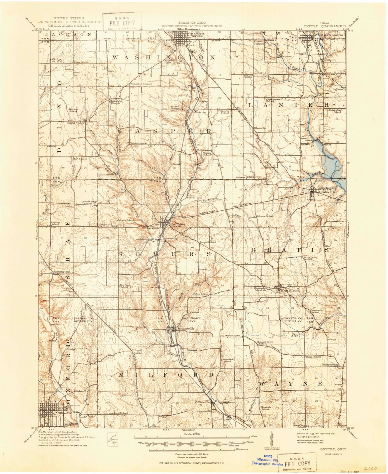
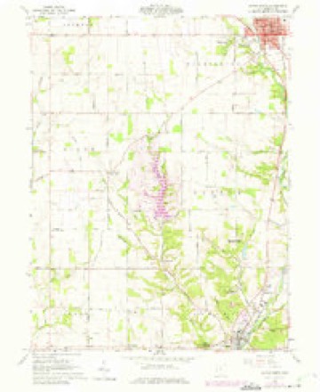
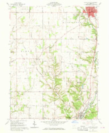
11 topographic sheets cover this place, the earliest surveyed in 1911 and the latest in 1986. It stands in Dixon Township. It lies in ZIP code area 45320. The Survey maps it on the Eaton South quadrangle.
Then and now
1911 to 1986The same ground, surveyed 75 years apart. Drag the handle to wipe between them. Both sheets are United States Geological Survey originals; neither has been altered.

Compare 1911 against another survey:
Topographic sheets covering this place
11 sheetsMatched by testing this settlement's coordinate against the published boundary of every sheet in the United States Geological Survey's historical collection. Each opens the scanned sheet at the Survey.
- 1911 USGS Oxford quadrangle1:62500
- 1953 USGS Cincinnati quadrangle1:250000
- 1953 USGS Cincinnati quadrangle1:250000
- 1953 USGS Cincinnati quadrangle1:250000
- 1957 USGS Cincinnati quadrangle1:250000
- 1960 USGS Eaton South quadrangle1:24000
- 1960 USGS Eaton South quadrangle1:24000
- 1960 USGS Eaton South quadrangle1:24000
- 1960 USGS Eaton South quadrangle1:24000
- 1986 USGS Dayton quadrangle1:100000
- 1986 USGS Dayton quadrangle1:100000






In the county-history sources
15,262 words on this townshipHistory of Preble County Ohio, published 1881 names this settlement in its chapter on Dixon Township. These are the passages that mention it, exactly as the scans read.
There are no streams of importance in the township. Four Mile creek winds through the central portion from north to south, but is scarcely deserving of the name of creek. During the summer months a mere thread of water finds its way along the river bed, but of not sufficient magnitude to turn the water mills along its course. In the eastern sections there is a small stream called Paint creek. It is of small importance, however. Another of the same kind flows through the southwestern sections.
Passage source: History of Preble County Ohio, published 1881.
It is to be regretted that the early records of the township cannot be obtained, but by some carelessness they have been mislaid, and are not to be found. Some of the most important facts are obtainable from the older settlers; but on many points we are unable to speak positively.
Passage source: History of Preble County Ohio, published 1881.
The next to come into the township was a Kentuckian named Kercheval Indeed some are in doubt as to whether he was not the first man, but the majority of opinions make him arrive later in the year than Dixon, possibly pretty nearly at the same time. Kercheval settled farther south on Four Mile creek, in section twentyeight He built a mill there, but was probably a resident of this township for only a short time, as his name does not occur in any of the later papers, nor is he ever mentioned by the present inhabitants. This mill was the first ever built in the township; it stood on the east bank of Four Mile creek, on the same site where the Niccum mill now stands.
Passage source: History of Preble County Ohio, published 1881.
Machine-read from a century-old scan, so expect the errors a machine makes: misspelled names, dropped words, stray characters.
Read the whole chapter on Dixon Township - it names this place 2 more 2 times.
Specimens collected near this place
12 of 945 shownRegional context, not property-specific evidence. Museums hold 945 specimens collected within 10 miles of Sugar Valley between 1877 and 1975: 791 Animalia, 90 Plantae, 59 Fungi, 5 Protozoa. 12 distinct Species records are shown. Collected by ?, A.L.; Bucholtz, I., A.R. Gaufin, H.H. Ross and others. Each is a physical object with a catalogue number, and each entry opens the museum's record. This is what was collected and kept, not a survey of what lives here - nothing can be concluded from a species being absent.
| Image | Species | Year | Collected by | Where, as recorded |
|---|---|---|---|---|
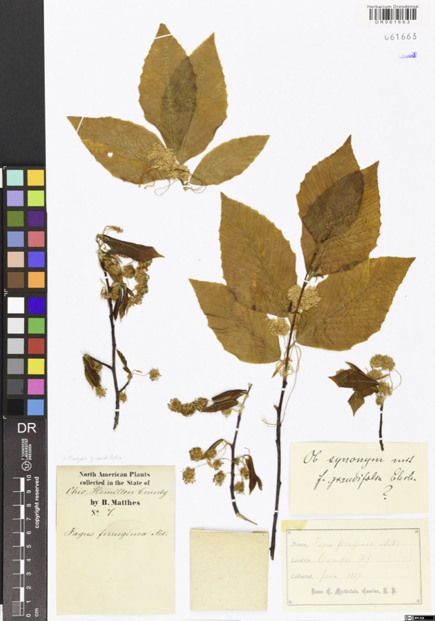 | Fagus grandifolia Ehrh. | 1877 | Matthes,B. | USA, Ohio, Hamilton County, Camden |
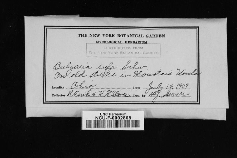 | Bulgaria rufa Schwein. | 1909 | Fink, V.; Steven, W. G. | In Houston's Woods [sic; Hueston Woods State Park, Butler and Preble counties]. |
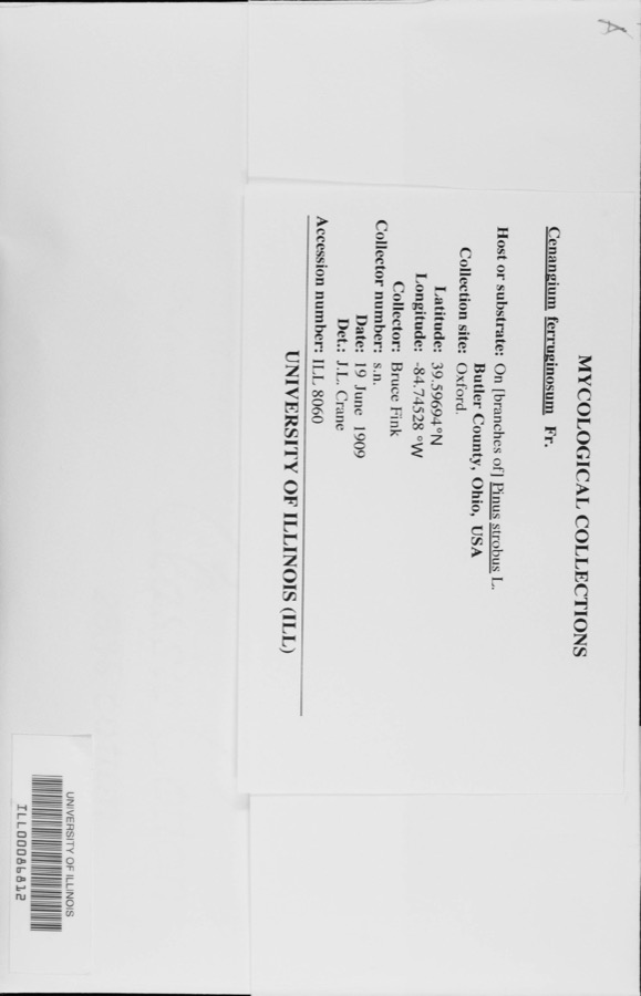 | Cenangium ferruginosum Fr. | 1909 | Bruce Fink | |
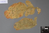 | Ramularia armoraciae Fuckel | 1890 | Elliott E. N. | Morning Sun |
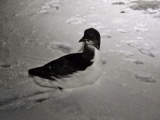 | Uria lomvia lomvia (Linnaeus, 1758) | 1896 | Stewart, R. T. (Robert T.) | Israel Twp, Fairhaven, Preble, Ohio, USA |
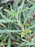 | Septoria oenotherae Westend. | 1901 | W. A. Kellerman | |
 | Bryum pseudotriquetrum (Hedw.) G.Gaertn., B.Mey. & Scherb. | 1909 | Braun, E. Lucy | Hueston Woods, east of Talawanda Creek |
| Campylium hispidulum (Brid.) Mitt. | 1909 | Braun, E. Lucy | Hueston Woods | |
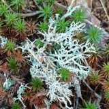 | Cladonia furcata (Huds.) Schrad., 1794 | 1909 | Braun, E. Lucy | Hueston Woods State Park |
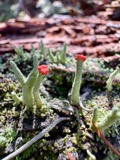 | Cladonia macilenta var. bacillaris (Ach.) Schaer. | 1909 | Braun, E. Lucy | Hueston Woods State Park |
 | Cladonia peziziformis (With.) J.R.Laundon | 1909 | Braun, E. Lucy | Hueston Woods State Park |
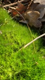 | Dicranum scoparium Hedw. | 1909 | Braun, E. Lucy | Hueston Woods |
All 945 specimens within 10 miles, at the Global Biodiversity Information Facility.
Nearest settlements
The eight closest, with where each one stands in the county. Distances are straight-line, computed from the Geographic Names Information System coordinates.
| Map | Place | Distance | Sheets |
|---|---|---|---|
| Lake Lakengren | 1.1 miles | 11 | |
| Corvin (historical) | 1.6 miles | 11 | |
| Muttonville | 2.8 miles | 11 | |
| West Florence | 4.4 miles | 13 | |
| Fosterville | 4.6 miles | 11 | |
| Fairhaven | 4.8 miles | 13 | |
| Quail Trail | 5.0 miles | 11 | |
| Claysburg (historical) | 5.2 miles | 13 |
Elsewhere
Matched on this settlement's Geographic Names Information System number rather than its name, so it cannot be a different place of the same name in another state.
| Wikipedia article on Sugar Valley | An encyclopaedic summary. Its text is share-alike, so it is linked here rather than copied. |
| Wikidata item Q22344610 | The structured record the population and elevation above come from. Public domain (CC0). |
Provenance
This settlement is recorded in the Geographic Names Information System as feature 1046834. The sheet list is computed by point-in-boundary test against the United States Geological Survey's historical topographic inventory. Both are works of the United States government and carry no copyright under 17 U.S.C. 105.
Specimens. Global Biodiversity Information Facility (GBIF), https://www.gbif.org/. Only records licensed CC0 or CC BY are used. Records licensed CC BY-NC are excluded because this site carries advertising. Images are checked individually and any whose licence is non-commercial, no-derivatives or unreadable is refused.