 Block
Block
Quail Trail, Ohio
11 topographic sheets cover this place, the earliest surveyed in 1911 and the latest in 1986. It stands in Somers Township. It lies in ZIP code area 45311. It stands on Pottenger Run. The Survey maps it on the Eaton South quadrangle.
Then and now
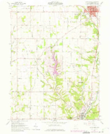
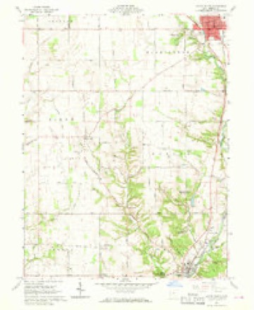
1911 to 1986The same ground, surveyed 75 years apart. Drag the handle to wipe between them. Both sheets are United States Geological Survey originals; neither has been altered.

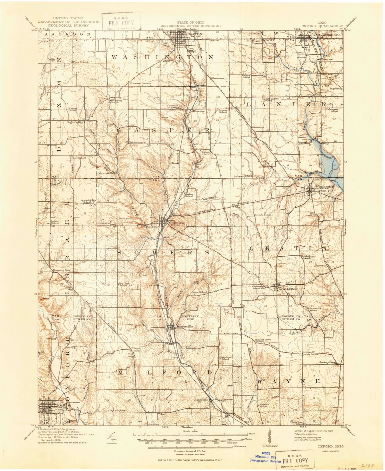
Compare 1911 against another survey:
Topographic sheets covering this place
11 sheetsMatched by testing this settlement's coordinate against the published boundary of every sheet in the United States Geological Survey's historical collection. Each opens the scanned sheet at the Survey.
- 1911 USGS Oxford quadrangle1:62500
- 1953 USGS Cincinnati quadrangle1:250000
- 1953 USGS Cincinnati quadrangle1:250000
- 1953 USGS Cincinnati quadrangle1:250000
- 1957 USGS Cincinnati quadrangle1:250000
- 1960 USGS Eaton South quadrangle1:24000
- 1960 USGS Eaton South quadrangle1:24000
- 1960 USGS Eaton South quadrangle1:24000
- 1960 USGS Eaton South quadrangle1:24000
- 1986 USGS Dayton quadrangle1:100000
- 1986 USGS Dayton quadrangle1:100000






In the 1915 county history
3,802 words on this townshipThe county history of 1915 has no passage naming this settlement, which was common for the smaller places. Its township is covered in full.
The chapter on Somers Township covers the township.
Read the chapter on Somers Township - 3,802 words.
Specimens collected nearby
12 of 1,131 shownMuseums hold 1,131 specimens collected within 10 miles of Quail Trail between 1877 and 1975: 858 Animalia, 180 Fungi, 88 Plantae, 5 Protozoa. 12 distinct Species records are shown. Collected by ?, A.L.; Bucholtz, I., A.R. Gaufin, H.H. Ross and others. Each is a physical object with a catalogue number, and each entry opens the museum's record. This is what was collected and kept, not a survey of what lives here - nothing can be concluded from a species being absent.
| Image | Species | Year | Collected by | Where, as recorded |
|---|---|---|---|---|
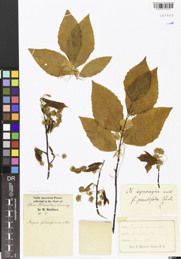 | Fagus grandifolia Ehrh. | 1877 | Matthes,B. | USA, Ohio, Hamilton County, Camden |
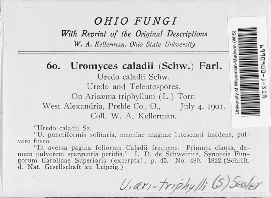 | Uromyces ari-triphylli (Schwein.) Seeler | 1901 | W. A. Kellerman | West Alexandria |
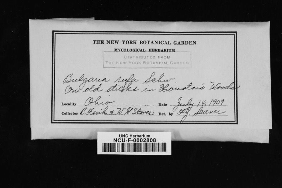 | Bulgaria rufa Schwein. | 1909 | Fink, V.; Steven, W. G. | In Houston's Woods [sic; Hueston Woods State Park, Butler and Preble counties]. |
 | Ramularia armoraciae Fuckel | 1890 | Elliott E. N. | Morning Sun |
 | Uria lomvia lomvia (Linnaeus, 1758) | 1896 | Stewart, R. T. (Robert T.) | Israel Twp, Fairhaven, Preble, Ohio, USA |
 | Phyllosticta Pers., 1818 | 1901 | W. A. Kellerman | |
 | Puccinia circaeae Pers. | 1901 | W. A. Kellerman | West Alexandria |
 | Septoria oenotherae Westend. | 1901 | W. A. Kellerman | |
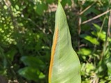 | Uromyces caladii (Schwein.) Farl. | 1901 | W. A. Kellerman | West Alexandria |
 | Bryum pseudotriquetrum (Hedw.) G.Gaertn., B.Mey. & Scherb. | 1909 | Braun, E. Lucy | Hueston Woods, east of Talawanda Creek |
| Campylium hispidulum (Brid.) Mitt. | 1909 | Braun, E. Lucy | Hueston Woods | |
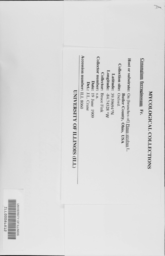 | Cenangium ferruginosum Fr. | 1909 | Bruce Fink |
All 1,131 specimens within 10 miles, at the Global Biodiversity Information Facility.
Mines and quarries nearby
2 within 5 milesThe federal mineral resources record lists 2 workings within 5 miles of Quail Trail: 1 past producer, 1 producer. 1 still produces. What was taken out: Sand and Gravel, Construction. Distance is straight-line from the map coordinates, so a quarry counted here may appear on a neighbouring settlement's page as well.
| Where | Site | Commodity | Status | Recorded |
|---|---|---|---|---|
| Camden Pit | Sand and Gravel, Construction | Past Producer | Sedimentary | |
| Wysons Gravel Co. | Sand and Gravel, Construction | Producer |
Nearest settlements
The eight closest, with where each one stands in the county. Distances are straight-line, computed from the Geographic Names Information System coordinates.
| Map | Place | Distance | Sheets |
|---|---|---|---|
| Camden | 1.9 miles | 11 | |
| Muttonville | 2.9 miles | 11 | |
| Wheatville | 3.8 miles | 10 | |
| Lake Lakengren | 4.0 miles | 11 | |
| Fosterville | 4.2 miles | 11 | |
| Sugar Valley | 5.0 miles | 11 | |
| Gratis | 5.6 miles | 10 | |
| West Elkton | 6.1 miles | 9 |
Elsewhere
Matched on this settlement's Geographic Names Information System number rather than its name, so it cannot be a different place of the same name in another state.
| Wikidata item Q122592151 | The structured record the population and elevation above come from. Public domain (CC0). |
Provenance
This settlement is recorded in the Geographic Names Information System as feature 2634668. The sheet list is computed by point-in-boundary test against the United States Geological Survey's historical topographic inventory. Both are works of the United States government and carry no copyright under 17 U.S.C. 105.
Specimens. Global Biodiversity Information Facility (GBIF), https://www.gbif.org/. Only records licensed CC0 or CC BY are used. Records licensed CC BY-NC are excluded because this site carries advertising. Images are checked individually and any whose licence is non-commercial, no-derivatives or unreadable is refused.
Mines and quarries. USGS Mineral Resources Data System (MRDS) https://mrdata.usgs.gov/mrds/ A work of the United States government, no copyright under 17 U.S.C. 105.