 Block
Block
Tawawa, Ohio
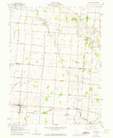
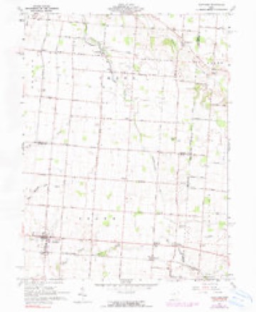
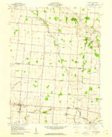
15 topographic sheets cover this place, the earliest surveyed in 1914 and the latest in 1986. It stands in Green Township. It lies in ZIP code area 45365. The Survey maps it on the Fletcher quadrangle.
Then and now
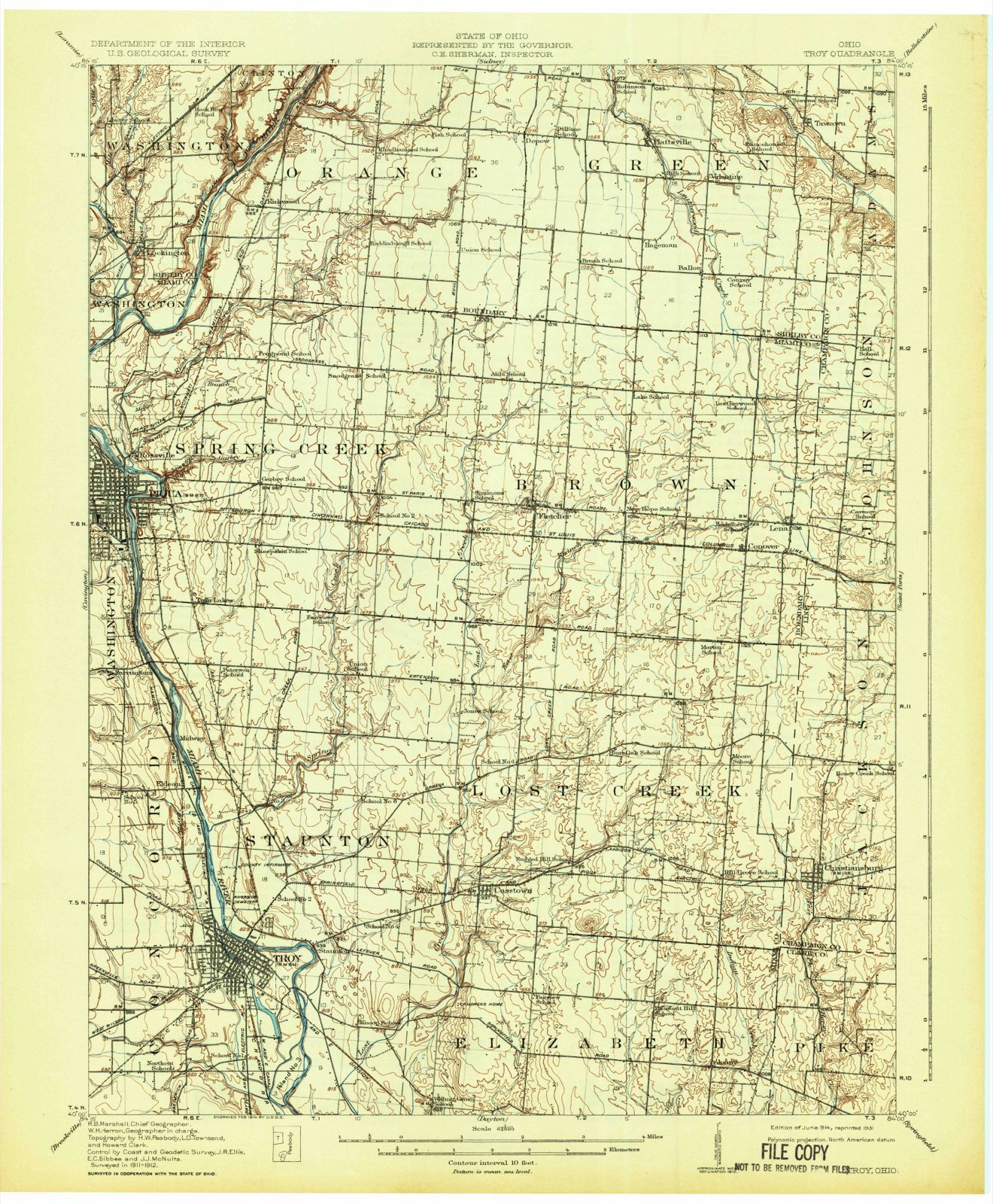
1914 to 1986The same ground, surveyed 72 years apart. Drag the handle to wipe between them. Both sheets are United States Geological Survey originals; neither has been altered.

Topographic sheets covering this place
15 sheetsMatched by testing this settlement's coordinate against the published boundary of every sheet in the United States Geological Survey's historical collection. Each opens the scanned sheet at the Survey.
- 1914 USGS Troy quadrangle1:62500
- 1914 USGS Troy quadrangle1:62500
- 1944 USGS Troy quadrangle1:62500
- 1953 USGS Muncie quadrangle1:250000
- 1953 USGS Muncie quadrangle1:250000
- 1953 USGS Muncie quadrangle1:250000
- 1953 USGS Muncie quadrangle1:250000
- 1953 USGS Muncie quadrangle1:250000
- 1956 USGS Muncie quadrangle1:250000
- 1961 USGS Fletcher quadrangle1:24000
- 1961 USGS Fletcher quadrangle1:24000
- 1961 USGS Fletcher quadrangle1:24000
- 1986 USGS Piqua quadrangle1:100000
- 1986 USGS Piqua quadrangle1:100000
- 1986 USGS Piqua quadrangle1:100000









In the county-history sources
20,708 words on this townshipHistory of Shelby County, Ohio, published 1883 names this settlement in its chapter on Green Township. These are the passages that mention it, exactly as the scans read.
March 7, 1820. Ordered^ that all of that part of Orange Township that is east of the west tier of sections in the 2d township of both 12 and 13 ranges, be erected into a new township by the name of Green Township, and that the qualified electors of said township meet at the house of John R. Medaris, on the first Monday in April next, to elect township officers.
Passage source: History of Shelby County, Ohio, published 1883.
The northeastern part of Green Township is drained by the Tawawa, or more commonly known as Mosquito Creek, and its branches, which takes its source at a small lake in Champaign County, flows in a northwesterly direction, entering Green Township a short distance southeast of New Palestine, on section 1, crossing sections 1, 7, 8, 14, and 20, and from thence it flows into Perry Township.
Passage source: History of Shelby County, Ohio, published 1883.
The first house for school purposes in the township was erected about 1820, near where the graveyard is now located at Plattsville. It was a round log structure, eighteen by twenty feet, with puncheon seats, and greased paper was used for windows instead of glass. Miss Lucy Wilson taught the first term of school in this house. Patrick Armstrong, Patrick Good, and Isaac Botkin were also among the early teachers in that part of the township. In 1821 there was a log cabin house erected for school purposes, near where the Sturm graveyard is now located, a short distance from the Champaign County line. It was built of round logs, with a fireplace at one end about seven feet in length, with a stick chimney extending a little above the top of the house. The floor was laid with puncheon, the flat side being turned up and dressed down smooth and level. The seats were made by splitting a small log in half, dressing the flat side smooth, and then putting legs or pins in the other side to elevate the seat the proper height. The windows were made by cutting out a log, and pasting greased paper over the space or opening made by taking out the log. Dr. Pratt taught the first term of school in this house during the winter of 1821-22, and received ten dollars per month for his services as teacher and board with the scholars, which was paid by each person sending scholars paying a certain amount per scholar for the term. This house was used for school purposes for a number of years.
Passage source: History of Shelby County, Ohio, published 1883.
Machine-read from a century-old scan, so expect the errors a machine makes: misspelled names, dropped words, stray characters.
Read the whole chapter on Green Township - it names this place 3 more 3 times.
Specimens collected near this place
12 of 122 shownRegional context, not property-specific evidence. Museums hold 122 specimens collected within 10 miles of Tawawa between 1897 and 1964: 101 Animalia, 15 Plantae, 6 Fungi. 12 distinct Species records are shown. Collected by A. R. Gaufin, A.R. Gaufin, A.R. Gaufin, H.H. Ross and others. Each is a physical object with a catalogue number, and each entry opens the museum's record. This is what was collected and kept, not a survey of what lives here - nothing can be concluded from a species being absent.
| Image | Species | Year | Collected by | Where, as recorded |
|---|---|---|---|---|
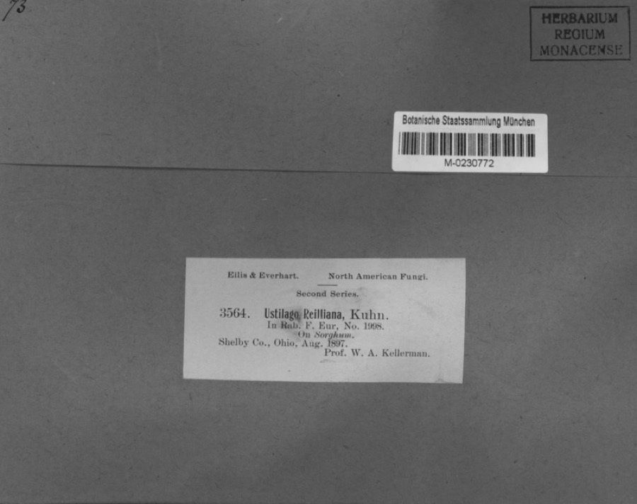 | Sorghum Moench | 1897 | Kellerman, W.A. | Shelby Co., Ohio. |
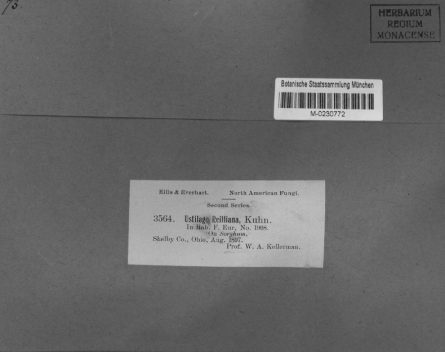 | Sphacelotheca reiliana (J.G.Kühn) G.P.Clinton | 1897 | Kellerman, W.A. | Shelby Co., Ohio. |
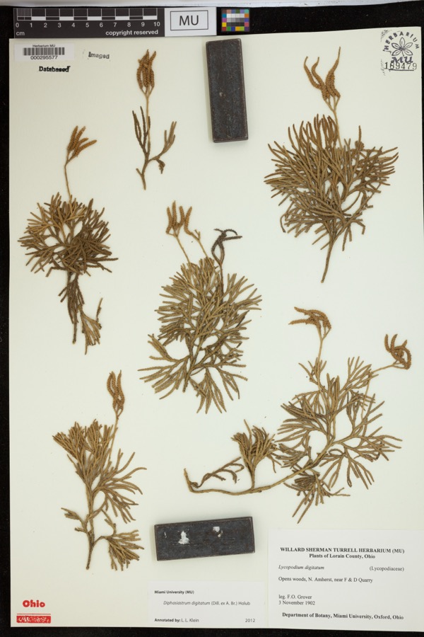 | Diphasiastrum digitatum (Dill. ex A.Braun) Holub | 1902 | Grover, F.O. | Opens woods, N. Amherst, near F & D Quarry |
 | Cercosporina apii (Fresen.) Miura | 1897 | Selby A. D. | Kirkwood |
 | Hirneola auricula-judae (Bull.) Berk. | 1909 | Fisher G. Clyde | Sidney |
 | Gymnosporangium juniperi-virginianae Schwein. | 1914 | Russell A. B. | Sidney |
| Phyllosticta vincae-minoris Bres. & Krieg. | 1914 | The Wagner Park Nursery Co. | Sidney | |
 | Hybopsis micropogon (Cope, 1865) | 1920 | Wickliff, E. L. (Edward L.) | Great Miami River, 2.5 mi north of Sidney, ~2.4 mi SW of Port Jefferson, Perry township |
| Ranidae | 1930 | Walker, C. F. (Charles F.) | Tawawa Creek, Green Twp., Shelby Co., Ohio | |
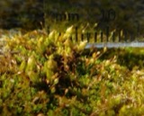 | Orthotrichum strangulatum P.Beauv. | 1937 | R. T. Wareham & A. J. Sharp | Miami River south of Sidney |
 | Campostoma anomalum anomalum | 1938 | Clark, C. F. (Clarence F.) | Mosquito Creek, within Green township (near rifle range?), near Port Jefferson, Green township |
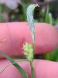 | Carex blanda Dewey | 1938 | R. E. Shanks | Clinton Twp., Tawawa. |
All 122 specimens within 10 miles, at the Global Biodiversity Information Facility.
Nearest settlements
The eight closest, with where each one stands in the county. Distances are straight-line, computed from the Geographic Names Information System coordinates.
| Map | Place | Distance | Sheets |
|---|---|---|---|
| Valentine (historical) | 1.9 miles | 15 | |
| Plattsville | 2.6 miles | 15 | |
| Ballou | 3.0 miles | 15 | |
| Hageman (historical) | 3.3 miles | 15 | |
| Pemberton | 4.1 miles | 15 | |
| Depew | 4.6 miles | 15 | |
| Pasco | 5.1 miles | 15 | |
| Hickory Dell Estates | 7.2 miles | 16 |
Provenance
This settlement is recorded in the Geographic Names Information System as feature 1061674. The sheet list is computed by point-in-boundary test against the United States Geological Survey's historical topographic inventory. Both are works of the United States government and carry no copyright under 17 U.S.C. 105.
Specimens. Global Biodiversity Information Facility (GBIF), https://www.gbif.org/. Only records licensed CC0 or CC BY are used. Records licensed CC BY-NC are excluded because this site carries advertising. Images are checked individually and any whose licence is non-commercial, no-derivatives or unreadable is refused.