 Block
Block
Miamitown, Ohio
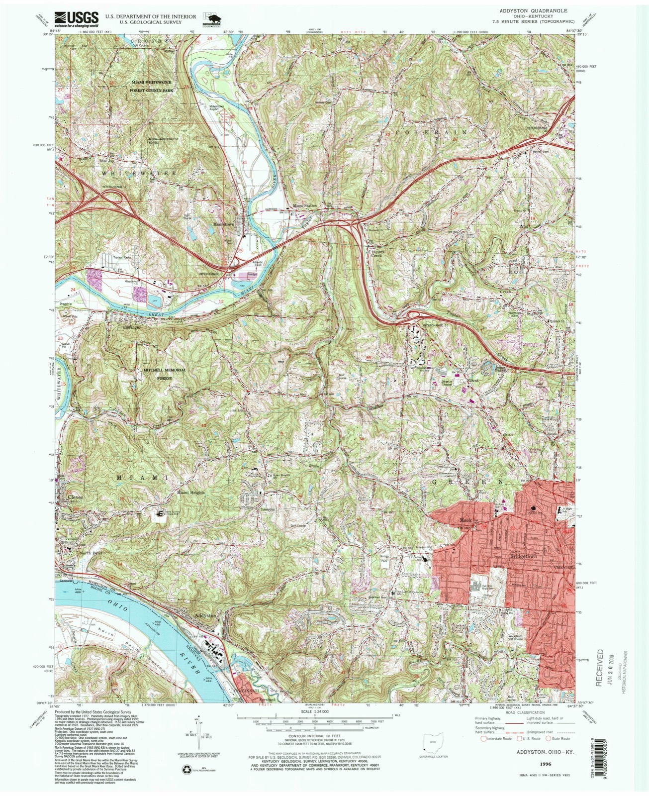
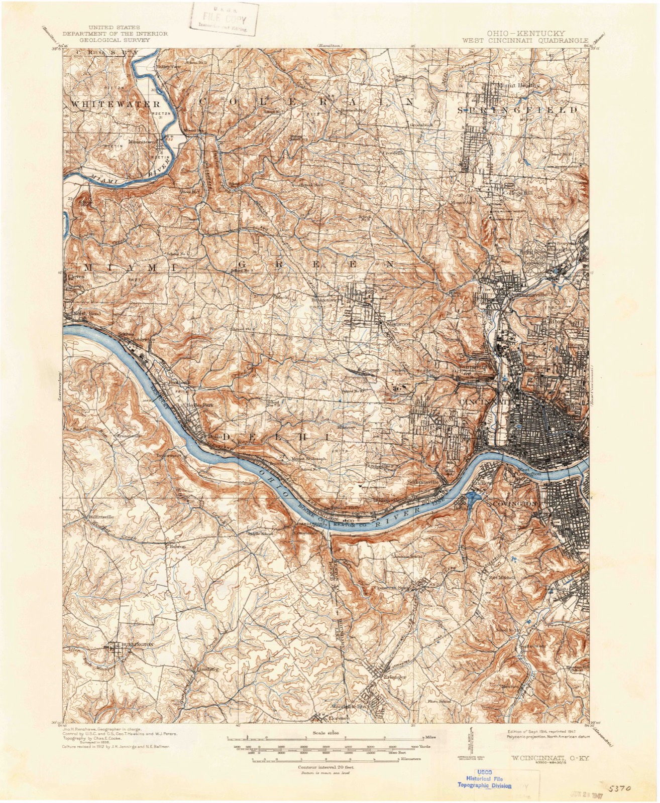
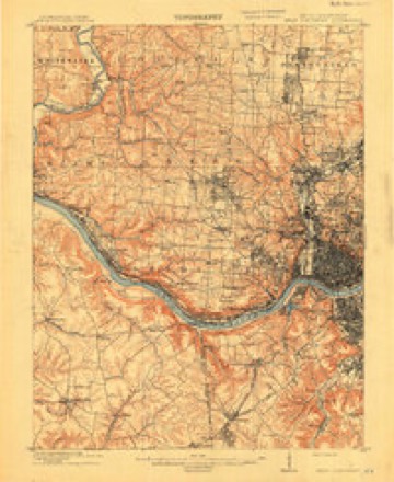
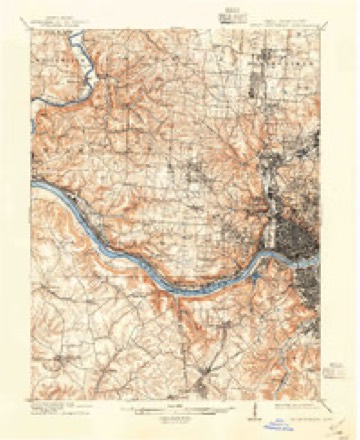
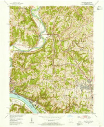
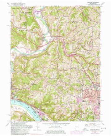
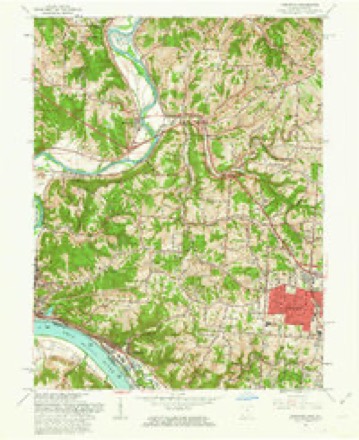
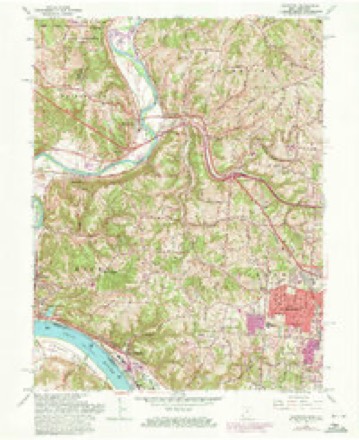
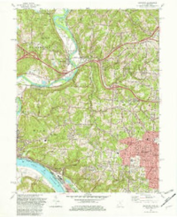
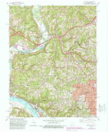
19 topographic sheets cover this place, the earliest surveyed in 1914 and the latest in 1996. It stands in Whitewater Township. It stands on Taylor Creek. The Survey maps it on the Addyston quadrangle.
Then and now
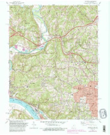
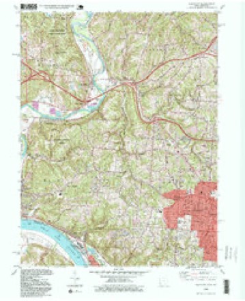
1914 to 1996The same ground, surveyed 82 years apart. Drag the handle to wipe between them. Both sheets are United States Geological Survey originals; neither has been altered.
Compare 1914 against another survey:
Topographic sheets covering this place
19 sheetsMatched by testing this settlement's coordinate against the published boundary of every sheet in the United States Geological Survey's historical collection. Each opens the scanned sheet at the Survey.
- 1914 USGS West Cincinnati quadrangle1:62500
- 1914 USGS West Cincinnati quadrangle1:62500
- 1914 USGS West Cincinnati quadrangle1:62500
- 1914 USGS West Cincinnati quadrangle1:62500
- 1953 USGS Cincinnati quadrangle1:250000
- 1953 USGS Cincinnati quadrangle1:250000
- 1953 USGS Cincinnati quadrangle1:250000
- 1954 USGS Addyston quadrangle1:24000
- 1957 USGS Cincinnati quadrangle1:250000
- 1960 USGS Addyston quadrangle1:24000
- 1960 USGS Addyston quadrangle1:24000
- 1960 USGS Addyston quadrangle1:24000
- 1982 USGS Addyston quadrangle1:24000
- 1982 USGS Addyston quadrangle1:24000
- 1982 USGS Addyston quadrangle1:24000
- 1986 USGS Cincinnati quadrangle1:100000
- 1986 USGS Cincinnati quadrangle1:100000
- 1986 USGS Cincinnati quadrangle1:100000
- 1996 USGS Addyston quadrangle1:24000







What happened here
An account from the chapter on Whitewater township, The inset identifies its exact source book and publication year.
Development Of Commerce
Before manufacturing can fairly begin in a new country, commerce and exchange must provide for the wants of a community in many directions. Local trade sets in as soon as there is anything to buy or sell, be it only a fish hooked from the water, or venison shot .in the forest. When Demand calls ''Hello!'' Supply answers ''Here I am.'' The Cincinnati pioneers in 1789 wanted seed-corn, and corn for hominy and bread, and immediately corn-meal came from Lexington, down the Licking, in canoes.
In the county-history sources
267,357 words on this townshipHistory of Hamilton County, Ohio, with Illustrations and Biographical Sketches, published 1881 names this settlement in its chapter on Whitewater Township. These are the passages that mention it, exactly as the scans read.
Whitewater lies in range one of township one,and range one of township three, with a fractional section (thirtyone) belonging to range two, township two and three other bits of sections along the Great Miami belonging to other ranges or townships. It includes nineteen full and fourteen fractional sections, or fourteen thousand three hundred and twenty square acres. It is bounded on the west by Dearborn county, Indiana, and for the breadth of two miles at the northward by Harrison township, Hamilton county, on the north by Harrison and Crosby townships ; on the east and south by the Great Miami, beyond which lie the townships of Colerain and Miami. The township does not touch the Ohio river, although it approaches within a mile of it, at the lower part of Guard's island. The Great Miami has an exceedingly tortuous course along the front of this township, requiring about sixteen miles for its course, while the air-line distance between the point where it first touches the township and that where it makes its exit, is but ten and one-half miles. This is the extreme diagonal of the township ; its greatest length is six and one-half miles, being on its western line; its greatest width the same, on a line of latitude passing a little below Miamitown, from that deviating to a point at the southwest corner. The Whitewater river comes in from Harrison township, on the western side of section five, and flows in a southerly course four and one-half miles, reaching the Great Miami near the southeast corner of section twenty. Nearly two miles from its entrance it receives the waters of the Dry fork of Whitewater, which enters at the southeast corner of Harrison township, flows southward in a crooked course two miles, then westward two miles to the Whitewater. Another, but smaller tributary, heading in the border of Indiana, intersects sections eighteen, seventeen and twenty, and reaches the Whitewater near the railroad crossing. Two or three very pretty tributaries also enter the Great Miami from the side of this township. From time to time this river has changed its bed in the flow of the ages, and old channels are plainly to be seen, especially in the lower part of its course, as that south of Elizabethtown. The streams are generally well bridged at the desirable points ; and the Whitewater, at a point on the road from Elizabethtown northeastward, has the finest suspension bridge, exclusively belonging to this county. A notable pioneer ferry was kept across the Great Miami, a short distance from Cleves. A mile from the mouth of this stream, at the extreme southwestern corner of the township, about half a section of land is isolated by an irregular arc of water connecting at each end with the river, and probably one of its oldest channels - ^which takes the name Guard's island, from the old Guard family of pioneers. From this northeast and north for several miles the island is low, and part of it much subject to inundations. It is very fertile, however, some of it yielding, after more than two generations of culture, its hundred bushels of corn per acre with tolerable regularity. In the north of the township some of the characteristic hills of Hamilton county appear.
Passage source: History of Hamilton County, Ohio, with Illustrations and Biographical Sketches, published 1881.
Samuel McHenry, a native of Pennsylvania, emigrated from that State in 1806 and settled at Elizabethtown, on the farm now owned by Mr. Ezra Guard. The same year he was appointed by Governor Tiffin as captain in the Ohio Militia, and, May 23, 181 1, was commissioned Major of the First battalion. Third regiment. First brigade. First division, in the militia. His wife was Margaret Piatt, also a native of Pennsylvania, who died at Elizabethtown June 22, 1845. He died in Indiana in 1858, aged eighty-one.
Passage source: History of Hamilton County, Ohio, with Illustrations and Biographical Sketches, published 1881.
Richard Simmonds, born March 14, 1800, near Baltimore, Maryland, came to Ohio in 1806, and settled on Lees creek, this county, one mile south of the Butler county line. In July, 1825, he married Susanna Pottenger, daughter of Samuel Pottenger, founder of New Baltimore, of Crosby township. By this marriage two sons and two daughters were born, one son - James - the only child living. Richard Simmonds has two grand- and two great-grandchildren ; had four brothers and two sisters. His life has been an active one, engaging in farming, dealing in stock and barter generally, during the twentyfive years which was spent on Lees creek. During seven years which followed at Sater in Crosby township, and the forty. seven years at Miamitown, great industry has rewarded him with handsome gains. The hardy forest lies fallen under his stroke ; the Indian, the wolf, the deer, the bear, these, too, have gone, and now, in declining age, a life freighted with philanthropy and good actions for imitation he retires to domestic happiness, waiting for a reaper which will soon gather an abundant harvest.
Passage source: History of Hamilton County, Ohio, with Illustrations and Biographical Sketches, published 1881.
Machine-read from a century-old scan, so expect the errors a machine makes: misspelled names, dropped words, stray characters.
Read the whole chapter on Whitewater Township - it names this place 18 more 18 times.
Specimens collected near this place
12 of 1,667 shownRegional context, not property-specific evidence. Museums hold 1,667 specimens collected within 10 miles of Miamitown between 1835 and 1975: 841 Fungi, 546 Animalia, 168 Plantae, 95 Protozoa, 10 Chromista, 6 Unrecorded, 1 Bacteria. 12 distinct Species records are shown. Collected by A Schwartz, A. P. Morgan, A. R. Gaufin and others. Each is a physical object with a catalogue number, and each entry opens the museum's record. This is what was collected and kept, not a survey of what lives here - nothing can be concluded from a species being absent.
| Image | Species | Year | Collected by | Where, as recorded |
|---|---|---|---|---|
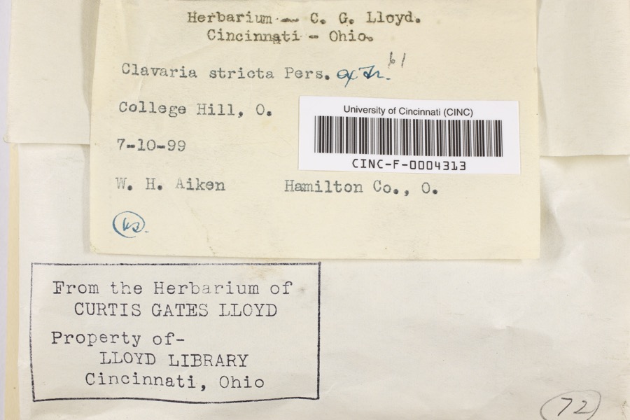 | Clavaria striata Pers. | 1899 | Aiken, Walter H. | College Hill |
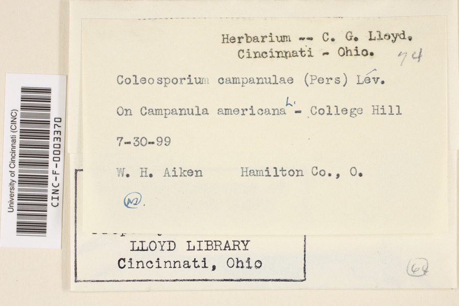 | Coleosporium campanulae (Pers.) Tul. | 1899 | Aiken, Walter H. | College Hill |
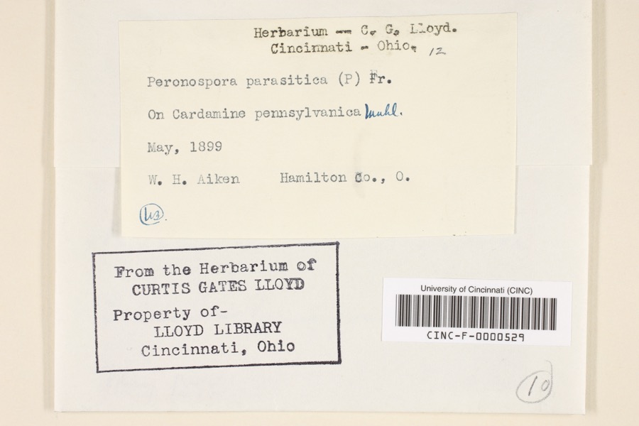 | Peronospora parasitica (Pers.) De Bary | 1899 | Aiken, Walter H. | Hamilton County, Ohio |
 | Carex davisii Schwein. & Torr. | 1835 | Frank | in ditione Miami civitatis Ohio |
 | Mentha arvensis var. glabrata (Benth.) Fernald | 1835 | Collector unspecified | Miami. |
 | Sanicula canadensis L. | 1835 | Frank | in ditione Miami civitatis Ohio |
 | Desmodium Desv. | 1836 | Short, C.W. | Fernbank - ad ripas fluminis Ohio prope 'North Bend' [banks of Ohio River near North Bend]. |
 | Dicentra Bernh. | 1836 | Short, C.W. | Fernbank [=Fernbank Park] ad ripas fluminensis Ohio, prope North Bend, Kentucky. |
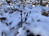 | Monotropa uniflora L. | 1836 | Haupt, J.G. | 4 mile NW. Cincinnati |
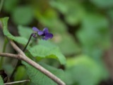 | Viola L. | 1840 | Short, C.W. | In America boerali prope Fernbank, ad ripas fluminis Ohio, prope North-Bend (Kentucky). | Fernbank - ad ripas fluminis Ohio, prope ''North Bend.'' [=In northern America, near Fernbank, beside the Ohio River, near North Bend (Kentucky).] |
| Actaea alba (L.) Mill. | 1841 | Sanders, Alfred | 2.5 m. west Cincinnati | |
 | Claytonia virginica L. | 1841 | Sanders, Alfred [?] | 2.5 milles west of Cincinnati |
All 1,667 specimens within 10 miles, at the Global Biodiversity Information Facility.
Mines and quarries near this place
10 of 27 shownRegional context, not property-specific evidence. The federal mineral resources record lists 27 workings within 5 miles of Miamitown: 15 past producers, 10 producers, 2 plants. 12 still produce. What was taken out: Sand and Gravel, Construction. Distance is straight-line from the map coordinates, so a quarry counted here may appear on a neighbouring settlement's page as well.
| Where | Site | Commodity | Status | Recorded |
|---|---|---|---|---|
| Allied Chem Corp Pit | Sand and Gravel, Construction | Producer | ||
| Ashcraft Main Pit | Sand and Gravel, Construction | Producer | ||
| Ashcraft Sand and Gravel, Inc. | Sand and Gravel, Construction | Past Producer | ||
| Barrett Paving Pit | Sand and Gravel, Construction | Past Producer | Sedimentary | |
| Bunnell Gravel Pit #2 | Sand and Gravel, Construction | Producer | ||
| Cleves Plant Number 6 Pit | Sand and Gravel, Construction | Producer | ||
| Cleves Plant Number 6 and Pit | Sand and Gravel, Construction | Past Producer | Sedimentary | |
| East Miami Pit | Sand and Gravel, Construction | Past Producer | Sedimentary | |
| East Miami Pit & Mill | Sand and Gravel, Construction | Plant | ||
| Eaton Sand and Gravel Pit | Sand and Gravel, Construction | Past Producer | Sedimentary |
Storms near this place
5 since 1995Regional context, not property-specific evidence. The National Weather Service names Miamitown in 5 storm reports between 1995 and 2005: 3 flash flood, 1 hail, 1 thunderstorm wind. No death or injury is recorded in these reports. Each account below is quoted exactly as the forecast office filed it, from the NOAA Storm Events Database, and each date opens the federal record of that event.
| When | Event | Place named | Harm | What the report says |
|---|---|---|---|---|
| June 2003 | Flash Flood | Miamitown | $50,000 | Numerous roads were flooded and closed across northern and western portions of the county. Cars were stranded in high water, and many homes sustained basement flooding in Colerain Township. |
| January 2005 | Flash Flood | Miamitown | $20,000 | Several roads were flooded and clsoed across the western part of the county. |
| July 1999 | Thunderstorm Wind | Miamitown | $3,000 | Trees knocked down. |
| June 1999 | Flash Flood | Miamitown | - | A creek was out of its banks in Colerain Township with 6 to 7 inches of water flowing over a bridge crossing Sheets road. Later, one to two feet of water was reported on the street in front of the Greener Elementary School. |
| April 1995 | Hail | Miamitown | - | no account filed |
Nearest settlements
The eight closest, with where each one stands in the county. Distances are straight-line, computed from the Geographic Names Information System coordinates.
| Map | Place | Distance | Sheets |
|---|---|---|---|
| Miami Station | 0.6 miles | 19 | |
| Taylors Creek | 1.6 miles | 19 | |
| Grandview | 1.8 miles | 19 | |
| Valley View (historical) | 1.8 miles | 19 | |
| Blue Jay | 1.9 miles | 19 | |
| Gieringer | 2.2 miles | 19 | |
| Dent | 3.5 miles | 19 | |
| Miami Heights | 3.6 miles | 19 |
Provenance
This settlement is recorded in the Geographic Names Information System as feature 1056423. The sheet list is computed by point-in-boundary test against the United States Geological Survey's historical topographic inventory. Both are works of the United States government and carry no copyright under 17 U.S.C. 105.
Specimens. Global Biodiversity Information Facility (GBIF), https://www.gbif.org/. Only records licensed CC0 or CC BY are used. Records licensed CC BY-NC are excluded because this site carries advertising. Images are checked individually and any whose licence is non-commercial, no-derivatives or unreadable is refused.
Mines and quarries. USGS Mineral Resources Data System (MRDS) https://mrdata.usgs.gov/mrds/ A work of the United States government, no copyright under 17 U.S.C. 105.
Storms. NOAA National Centers for Environmental Information, Storm Events Database https://www.ncei.noaa.gov/stormevents/ A work of the United States government, no copyright under 17 U.S.C. 105. Narratives are quoted verbatim from the National Weather Service report and are not edited or summarised.