 Block
Block
The Bend, Ohio
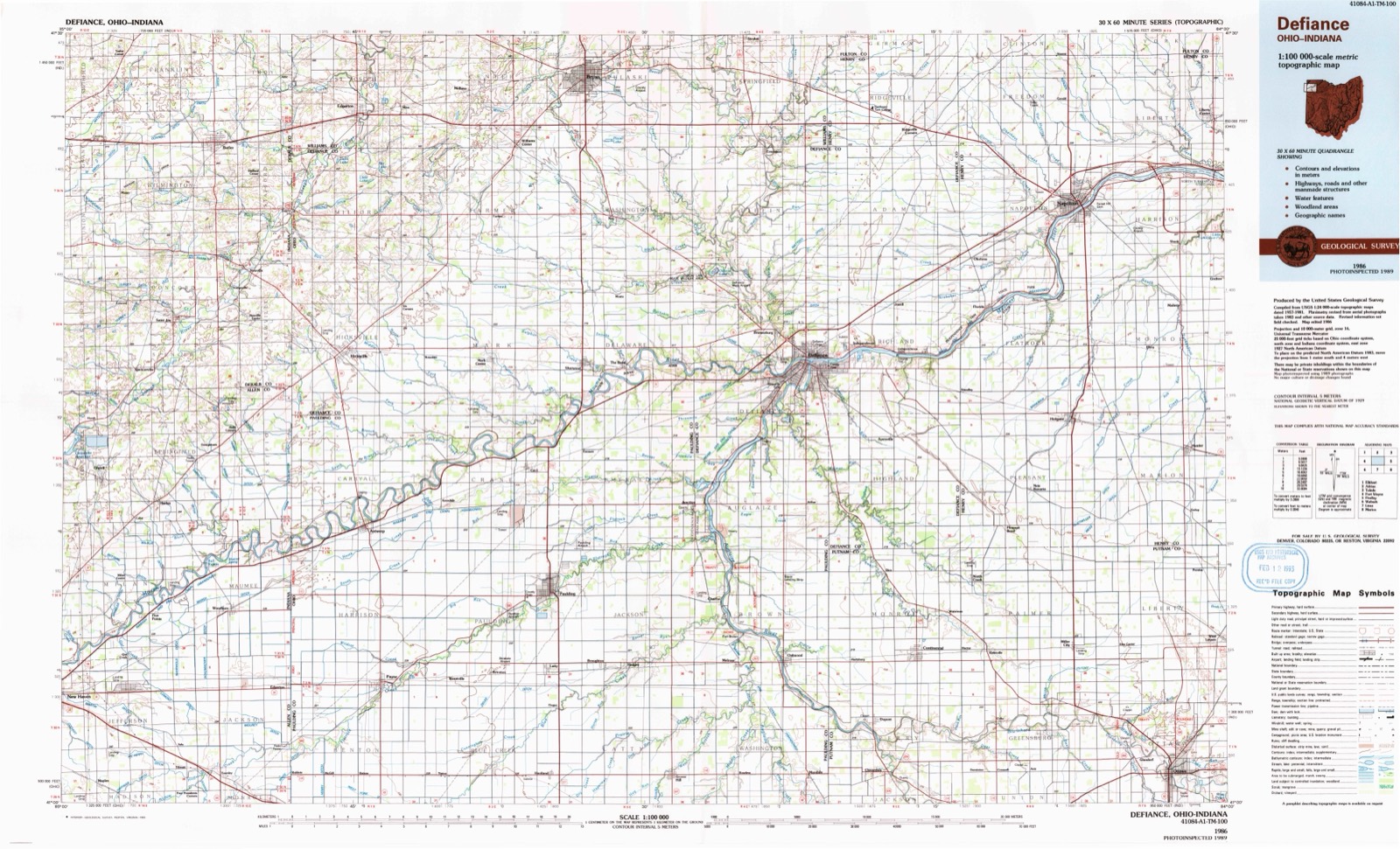
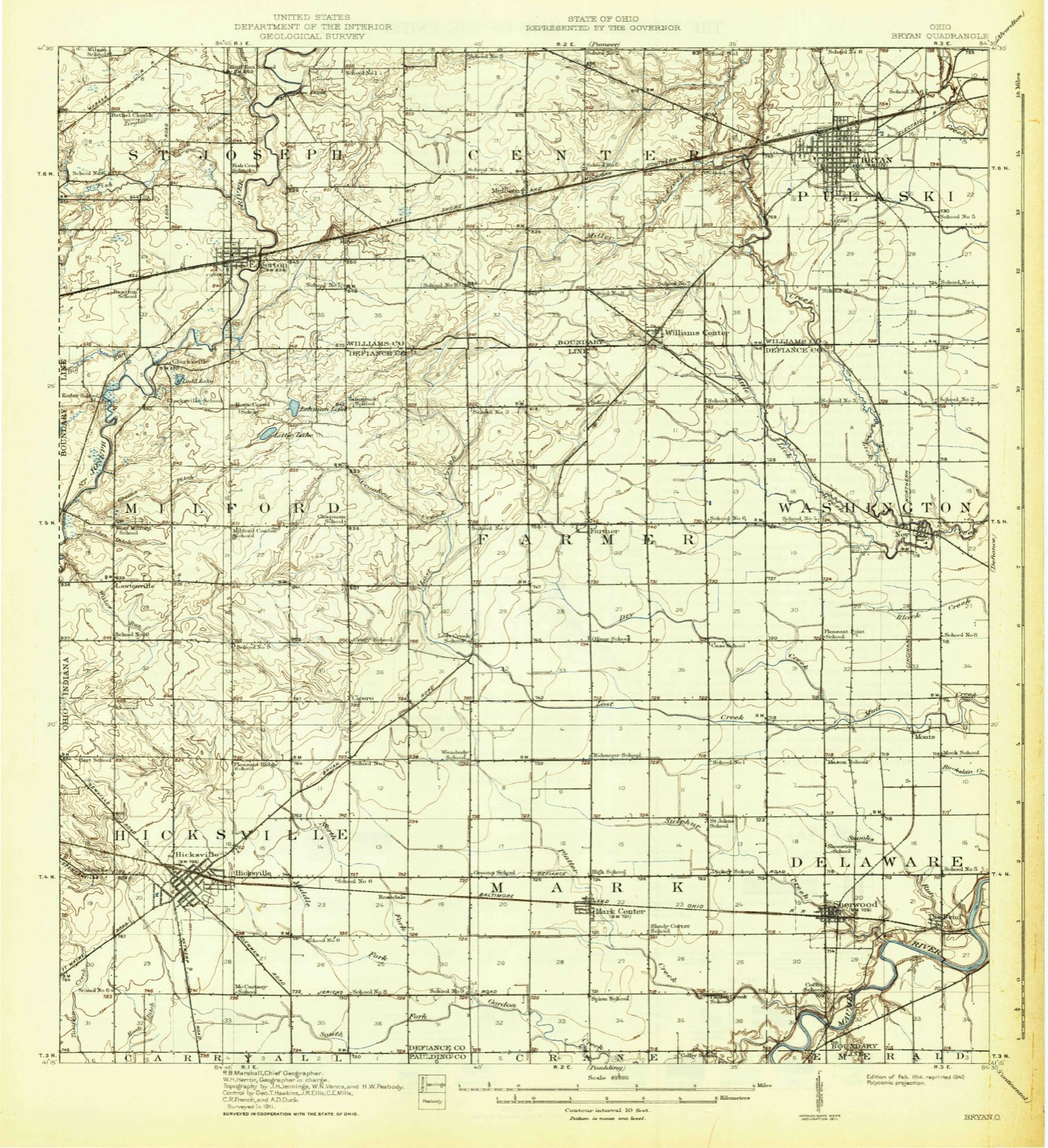
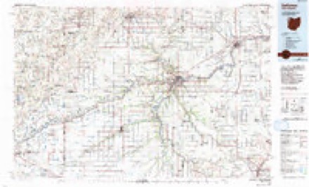
11 topographic sheets cover this place, the earliest surveyed in 1914 and the latest in 1986. It stands in Delaware Township. It lies in ZIP code area 43556. It stands on Snooks Run. The Survey maps it on the Sherwood quadrangle.
Then and now
1914 to 1986The same ground, surveyed 72 years apart. Drag the handle to wipe between them. Both sheets are United States Geological Survey originals; neither has been altered.
Topographic sheets covering this place
11 sheetsMatched by testing this settlement's coordinate against the published boundary of every sheet in the United States Geological Survey's historical collection. Each opens the scanned sheet at the Survey.
- 1914 USGS Bryan quadrangle1:62500
- 1943 USGS Bryan quadrangle1:62500
- 1953 USGS Fort Wayne quadrangle1:250000
- 1953 USGS Fort Wayne quadrangle1:250000
- 1953 USGS Fort Wayne quadrangle1:250000
- 1953 USGS Fort Wayne quadrangle1:250000
- 1956 USGS Fort Wayne quadrangle1:250000
- 1956 USGS Fort Wayne quadrangle1:250000
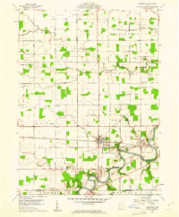
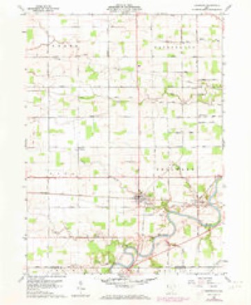
- 1960 USGS Sherwood quadrangle1:24000
- 1960 USGS Sherwood quadrangle1:24000
- 1986 USGS Defiance quadrangle1:100000
What happened here
An account from the chapter on Delaware township, in the words of 1883.
Memorial Amd Biographical Record Oe
Tennessee; Sand Mountain, Alabama; Black Warrior Creek, Alabama; Blount's Farm, Alabama; and many skirmishes with bushwhackers. May 3, 1863, he was captured and was sent to Atlanta, where | he was held for a few days and then transferred, to Knoxville, and finally to Richmond, where he was held in captivity at Belle Isle prison for a fortnight.
Specimens collected nearby
12 of 574 shownMuseums hold 574 specimens collected within 10 miles of The Bend between 1858 and 1974: 565 Animalia, 5 Plantae, 4 Fungi. 12 distinct Species records are shown. Collected by Angle, E. (Eric) & Trautman, M. B. (Milton Bernard), Angle, E. (Eric), Trautman, M. B. (Milton Bernard) & Hoschak, J. (John), Athearn, Herbert D. and others. Each is a physical object with a catalogue number, and each entry opens the museum's record. This is what was collected and kept, not a survey of what lives here - nothing can be concluded from a species being absent.
| Image | Species | Year | Collected by | Where, as recorded |
|---|---|---|---|---|
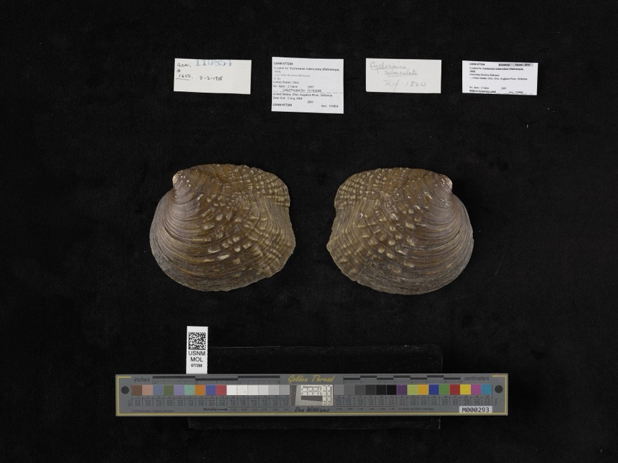 | Cyclonaias tuberculata (Rafinesque, 1820) | 1908 | not recorded | Auglaize River, Defiance |
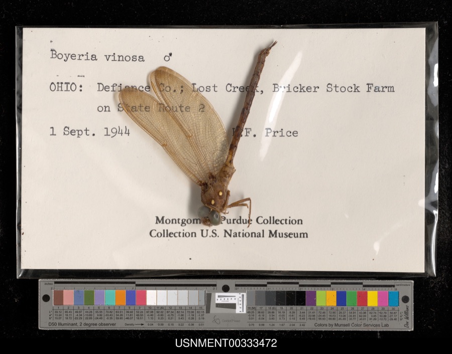 | Boyeria vinosa (Say, 1840) | 1944 | H. Price | Lost Creek, Bricker Stock Farm on State Route 2 |
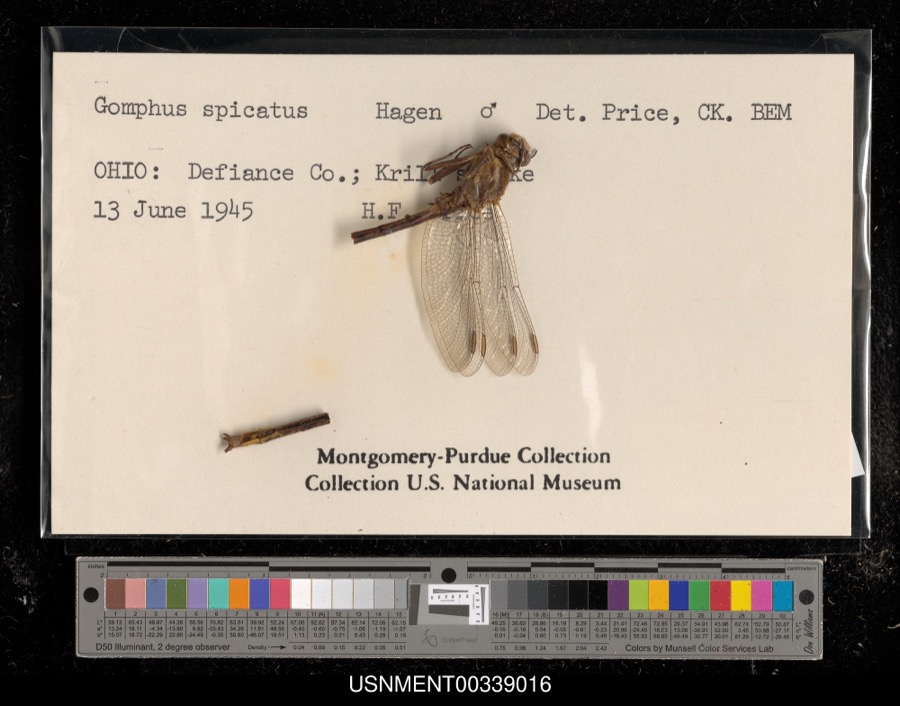 | Gomphus spicatus Hagen, 1854 | 1945 | H. Price | Krill's Lake |
 | Trifolium subcaulescens A.Gray | 1858 | J. S. Newberry | Fort Defiance |
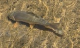 | Moxostoma anisurum (Rafinesque, 1820) | 1860 | unknown | Brunersburg |
 | Moxostoma erythrurum (Rafinesque, 1818) | 1860 | unknown | Brunersburg |
 | Ammocrypta pellucida (Putnam, 1863) | 1888 | S. Meek | Maumee River, Cecil, Ohio. |
 | Micropterus dolomieu Lacepède, 1802 | 1888 | S. Meek | Maumee River, Cecil, Ohio. |
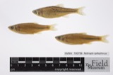 | Notropis spilopterus (Cope, 1867) | 1888 | S. Meek | Maumee River, Cecil, Ohio. |
 | Notropis stramineus (Cope, 1865) | 1888 | S. Meek | Maumee River, Cecil, Ohio. |
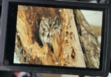 | Megascops asio naevius | 1891 | J. O. Snyder | unspecified |
 | Accipiter cooperii (Bonaparte, 1828) | 1892 | J. O. Snyder | unspecified |
All 574 specimens within 10 miles, at the Global Biodiversity Information Facility.
Storms nearby
7 since 2011The National Weather Service names The Bend in 7 storm reports between 2011 and 2023: 4 hail, 2 thunderstorm wind, 1 tornado. No death or injury is recorded in these reports. Each account below is quoted exactly as the forecast office filed it, from the NOAA Storm Events Database, and each date opens the federal record of that event.
| When | Event | Place named | Harm | What the report says |
|---|---|---|---|---|
| July 2023 | Tornado (EF0) | The Bend | - | EF0 landspout tornado briefly touched down north of Sherwood, Ohio. About two dozen slate shingles were removed from a barn. Also, a large limb and several small limbs were downed. The tornado tracked through a nearby cornfield and dissipated as it tracked northeast into a wooded area. |
| July 2023 | Thunderstorm Wind | The Bend | - | The public reported small tree limbs were blown down and shingles torn off a barn at a property off U.S. 127. |
| November 2013 | Thunderstorm Wind | The Bend | - | Emergency management officials reported a CSX crossing gate was broken by the high winds. In addition, a power pole fell onto a house and car. |
| June 2019 | Hail | The Bend | - | no account filed |
| June 2019 | Hail | The Bend | - | no account filed |
| August 2019 | Hail | The Bend | - | no account filed |
| August 2011 | Hail | The Bend | - | no account filed |
Nearest settlements
The eight closest, with where each one stands in the county. Distances are straight-line, computed from the Geographic Names Information System coordinates.
| Map | Place | Distance | Sheets |
|---|---|---|---|
| Sherwood | 2.0 miles | 11 | |
| Moats | 3.3 miles | 11 | |
| Ashwood (historical) | 3.6 miles | 12 | |
| Mark Center | 6.1 miles | 11 | |
| Ney | 6.7 miles | 13 | |
| Brunersburg | 7.0 miles | 12 | |
| Cooks Rolling Hills | 7.4 miles | 12 | |
| Millers Rolling Hills Estates | 7.5 miles | 12 |
Elsewhere
Matched on this settlement's Geographic Names Information System number rather than its name, so it cannot be a different place of the same name in another state.
| Wikidata item Q122541043 | The structured record the population and elevation above come from. Public domain (CC0). |
Provenance
This settlement is recorded in the Geographic Names Information System as feature 1061681. The sheet list is computed by point-in-boundary test against the United States Geological Survey's historical topographic inventory. Both are works of the United States government and carry no copyright under 17 U.S.C. 105.
Specimens. Global Biodiversity Information Facility (GBIF), https://www.gbif.org/. Only records licensed CC0 or CC BY are used. Records licensed CC BY-NC are excluded because this site carries advertising. Images are checked individually and any whose licence is non-commercial, no-derivatives or unreadable is refused.
Storms. NOAA National Centers for Environmental Information, Storm Events Database https://www.ncei.noaa.gov/stormevents/ A work of the United States government, no copyright under 17 U.S.C. 105. Narratives are quoted verbatim from the National Weather Service report and are not edited or summarised.