 Block
Block
Mark Center, Ohio
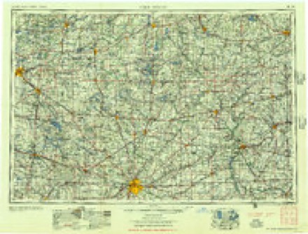
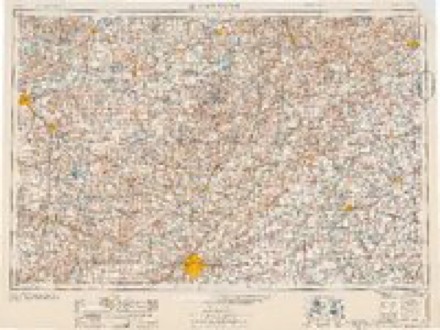
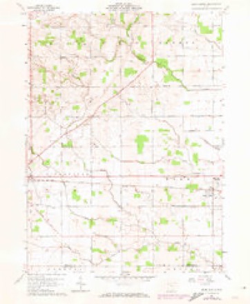
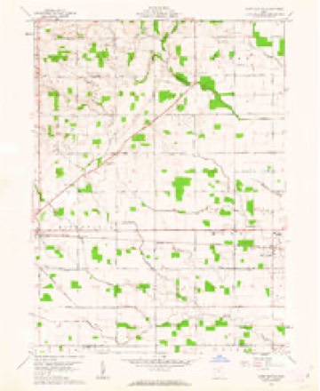
11 topographic sheets cover this place, the earliest surveyed in 1914 and the latest in 1986. It stands in Mark Township. It lies in ZIP code area 43536. The Survey maps it on the Mark Center quadrangle. It stands 2,359 feet above sea level.
Then and now
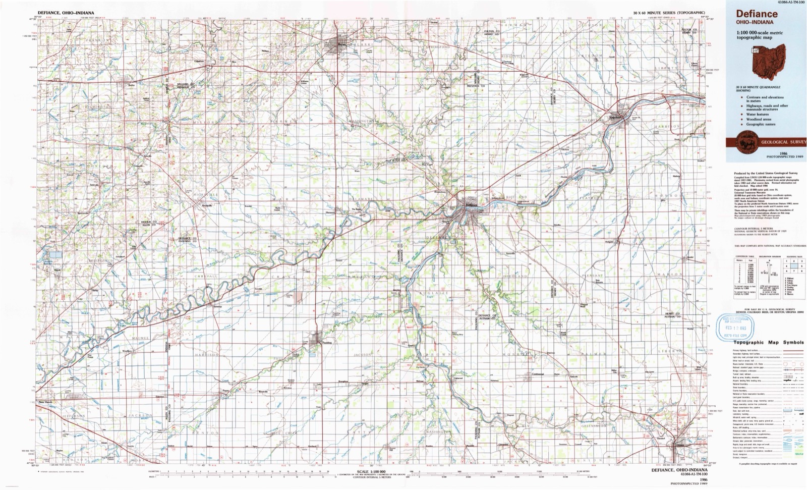
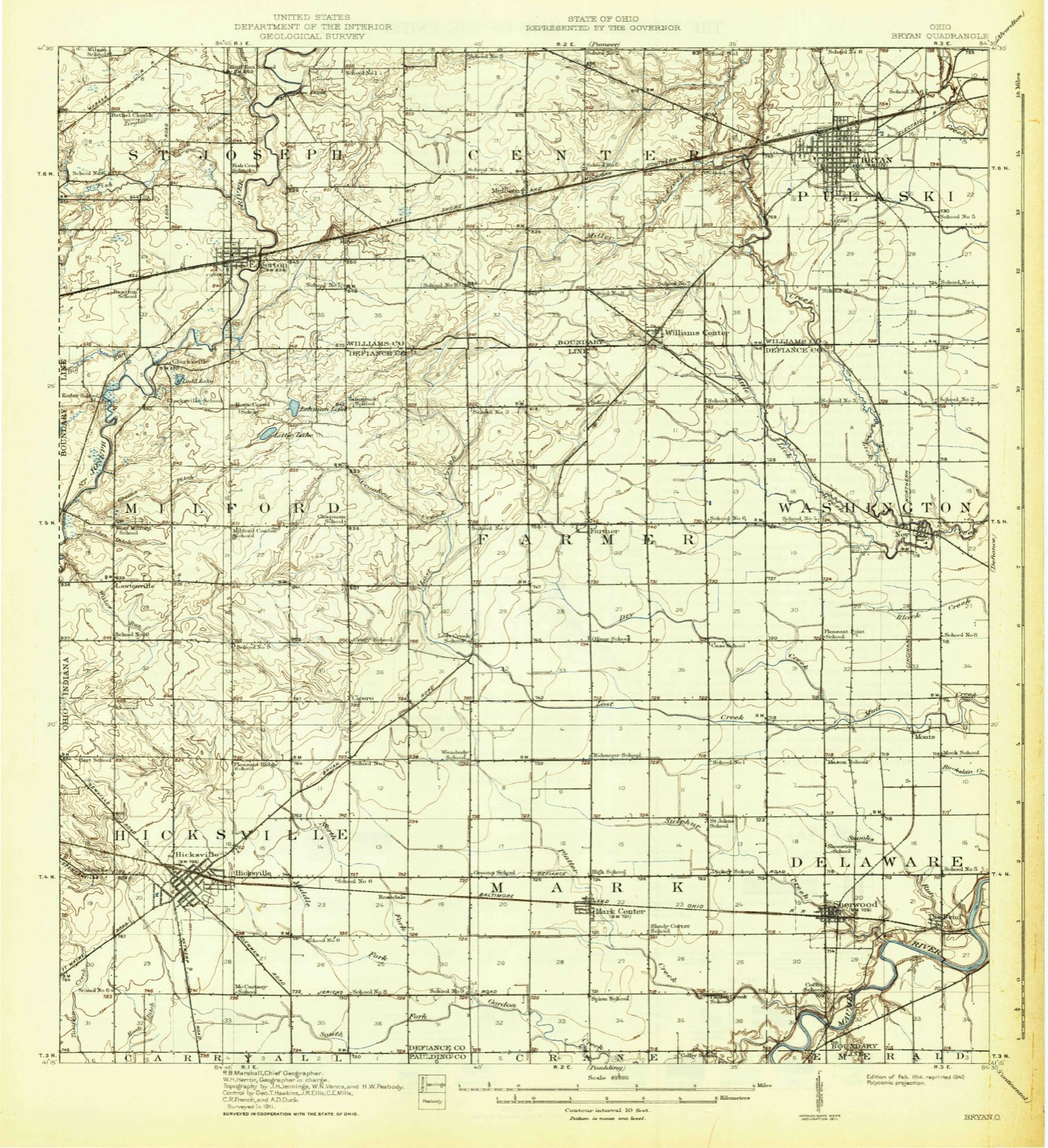
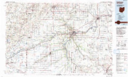
1914 to 1986The same ground, surveyed 72 years apart. Drag the handle to wipe between them. Both sheets are United States Geological Survey originals; neither has been altered.
Topographic sheets covering this place
11 sheetsMatched by testing this settlement's coordinate against the published boundary of every sheet in the United States Geological Survey's historical collection. Each opens the scanned sheet at the Survey.
- 1914 USGS Bryan quadrangle1:62500
- 1943 USGS Bryan quadrangle1:62500
- 1953 USGS Fort Wayne quadrangle1:250000
- 1953 USGS Fort Wayne quadrangle1:250000
- 1953 USGS Fort Wayne quadrangle1:250000
- 1953 USGS Fort Wayne quadrangle1:250000
- 1956 USGS Fort Wayne quadrangle1:250000
- 1956 USGS Fort Wayne quadrangle1:250000
- 1961 USGS Mark Center quadrangle1:24000
- 1961 USGS Mark Center quadrangle1:24000
- 1986 USGS Defiance quadrangle1:100000
Specimens collected nearby
12 of 664 shownMuseums hold 664 specimens collected within 10 miles of Mark Center between 1860 and 1973: 664 Animalia. 12 distinct Species records are shown. Collected by Bays, J. (John), CLARENCE CLARK, Condit, J. M. (John M.) and others. Each is a physical object with a catalogue number, and each entry opens the museum's record. This is what was collected and kept, not a survey of what lives here - nothing can be concluded from a species being absent.
| Image | Species | Year | Collected by | Where, as recorded |
|---|---|---|---|---|
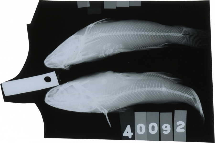 | Ameiurus melas (Rafinesque, 1820) | 1888 | S. Meek | Gordon Creek, Cicero, Ohio |
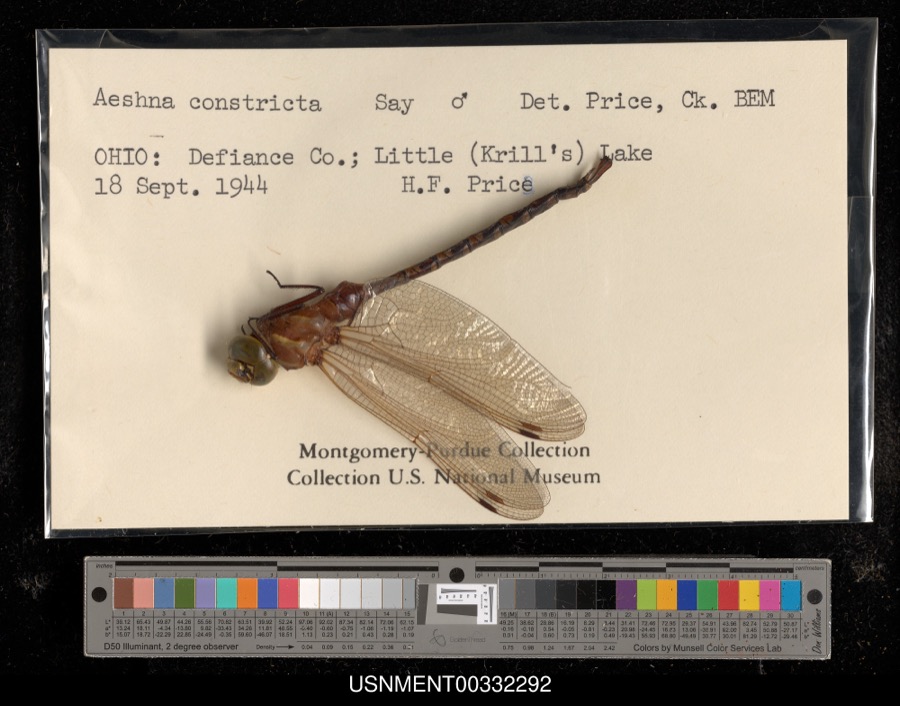 | Aeshna constricta Say, 1840 | 1944 | H. Price | Little (Krill's) Lake |
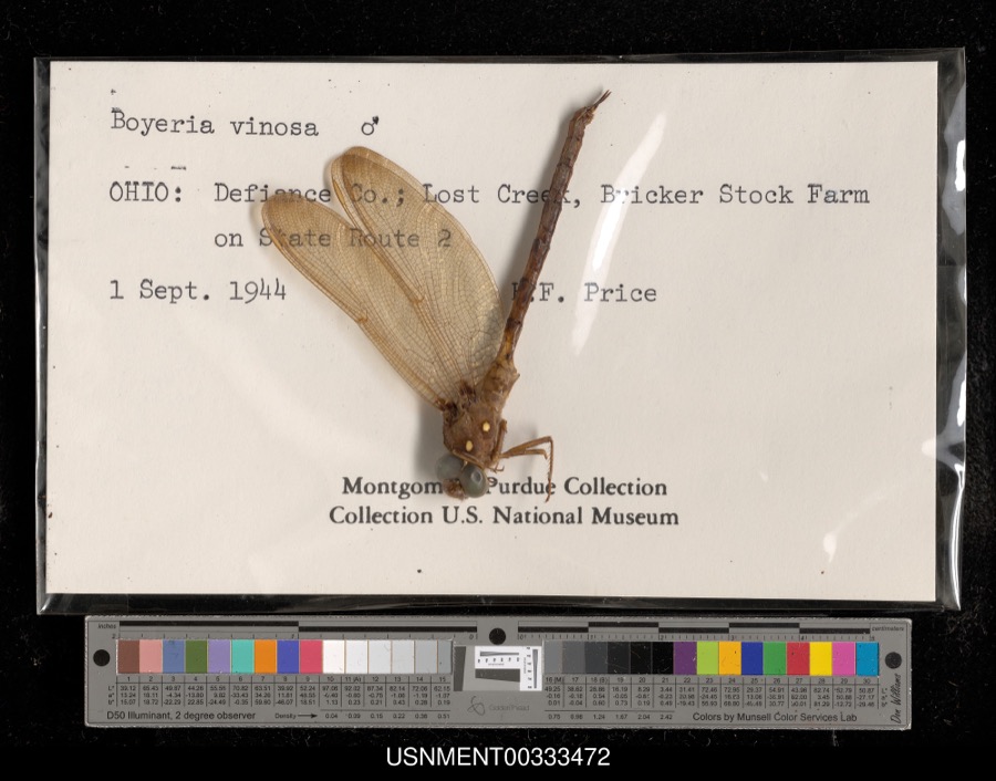 | Boyeria vinosa (Say, 1840) | 1944 | H. Price | Lost Creek, Bricker Stock Farm on State Route 2 |
 | Pomoxis annularis Rafinesque, 1818 | 1860 | unknown | Hicksville |
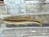 | Semotilus atromaculatus (Mitchill, 1818) | 1860 | unknown | Hicksville |
 | Ericymba buccata Cope, 1865 | 1884 | S. Meek | Hicksville, Ohio |
 | Etheostoma nigrum Rafinesque, 1820 | 1884 | S. Meek | Hicksville, Ohio |
 | Notropis cornutus (Mitchill, 1817) | 1884 | S. Meek | Hicksville, Ohio |
 | Notropis heterolepis Eigenmann & Eigenmann, 1893 | 1884 | S. Meek | Hicksville, Ohio |
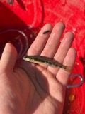 | Percina maculata (Girard, 1859) | 1884 | S. Meek | Hicksville, Ohio |
 | Ambloplites rupestris (Rafinesque, 1817) | 1888 | S. Meek | Gordon Creek, Cicero, Ohio |
 | Ameiurus nebulosus (Lesueur, 1819) | 1888 | S. Meek | Gordon Creek, Cicero, Ohio |
All 664 specimens within 10 miles, at the Global Biodiversity Information Facility.
Storms nearby
4 since 2009The National Weather Service names Mark Center in 4 storm reports between 2009 and 2016: 2 tornado, 2 thunderstorm wind. No death or injury is recorded in these reports. Each account below is quoted exactly as the forecast office filed it, from the NOAA Storm Events Database, and each date opens the federal record of that event.
| When | Event | Place named | Harm | What the report says |
|---|---|---|---|---|
| March 2009 | Tornado (EF0) | Mark Center | $100,000 | A National Weather Service (NWS) storm survey determined that a tornado initially touched down just east of Mark Center on Williams Center-Cecil Road, where eight utility poles were blown down towards the east with one pole being snapped. Immediately to the northeast of these poles on the south side of Highway 18, a small barn was blown off its foundation, but was left intact with a farm house across the road suffering some minor roof damage. The tornado briefly lifted, but touched down once again on Openlander Road between Lockwood and State Route 18. The front porch on a home was ripped off as well as a television antenna and large tree damaged. A large barn suffered some minor roof damage. As the tornado skipped a few more times, additional trees suffered varying damage, with a few homes suffering shingle or siding damage. The total length along the broken path was roughly 5 miles with a maximum width of only around 50 yards. |
| August 2016 | Tornado (EF2) | Mark Center | - | The tornado touched down roughly 1/5 mile west of the intersection of Road 192 and Road 220, in Paulding county, in a wooded area next to a residence. The tornado tracked generally in a northeasterly direction causing extensive structural damage to homes, barns, trees, and crops throughout the entirety of the path. The tornado crossed into southwestern Defiance county before dissipating a few minutes later near the intersection of County Roads 33 and 122. Damage in Paulding county was rated up to an EF2, with damage in Defiance county peaking at EF1. The total length of the tornado across the two counties was nearly four and one half miles with peak estimated winds of 130 mph. |
| May 2015 | Thunderstorm Wind | Mark Center | - | A trained spotter estimated wind gusts to 60 mph, with one large tree and several branches being blown down in the area. |
| October 2010 | Thunderstorm Wind | Mark Center | - | Emergency management officials reported a car port was blown into the tree tops of a local residence. |
Nearest settlements
The eight closest, with where each one stands in the county. Distances are straight-line, computed from the Geographic Names Information System coordinates.
| Map | Place | Distance | Sheets |
|---|---|---|---|
| Rosedale | 3.1 miles | 11 | |
| Sherwood | 4.1 miles | 11 | |
| Wilseyville (historical) | 4.7 miles | 11 | |
| Six Corners | 4.8 miles | 11 | |
| Cicero (historical) | 5.4 miles | 11 | |
| The Bend | 6.1 miles | 11 | |
| Moats | 6.3 miles | 11 | |
| Farmer | 6.5 miles | 12 |
Elsewhere
Matched on this settlement's Geographic Names Information System number rather than its name, so it cannot be a different place of the same name in another state.
| Wikipedia article on Mark Center | An encyclopaedic summary. Its text is share-alike, so it is linked here rather than copied. |
| Wikidata item Q11037868 | The structured record the population and elevation above come from. Public domain (CC0). |
Provenance
This settlement is recorded in the Geographic Names Information System as feature 1057832. The sheet list is computed by point-in-boundary test against the United States Geological Survey's historical topographic inventory. Both are works of the United States government and carry no copyright under 17 U.S.C. 105.
Specimens. Global Biodiversity Information Facility (GBIF), https://www.gbif.org/. Only records licensed CC0 or CC BY are used. Records licensed CC BY-NC are excluded because this site carries advertising. Images are checked individually and any whose licence is non-commercial, no-derivatives or unreadable is refused.
Storms. NOAA National Centers for Environmental Information, Storm Events Database https://www.ncei.noaa.gov/stormevents/ A work of the United States government, no copyright under 17 U.S.C. 105. Narratives are quoted verbatim from the National Weather Service report and are not edited or summarised.