 Block
Block
Tiffin, Ohio
11 topographic sheets cover this place, the earliest surveyed in 1906 and the latest in 1986. It stands in Tiffin City. It lies in ZIP code area 44883. It stands on Rock Creek. The Survey maps it on the Tiffin South quadrangle. 17,953 people lived here at the 2020 count. It stands 745 feet above sea level.
Research this city
This curated hub for Seneca County, Ohio brings together the page's documented record links, visible map or image evidence where published, and routes to related local records.
What is documented here?
Use the page's provenance and linked records to distinguish the source material from the site's navigation and summaries.
How should I cite it?
Open the original record, preserve its repository and identifier, then use the citation tool for this page as a path back to the source.
Where should I go next?
Follow the county or state hub for related places and records, then use the guide for a source-aware research sequence.
Population over time
4 figuresTiffin grew from 248 to 17,953 between 1830 and 2020. These are the recorded population figures Wikidata holds for this place, reached through the Geographic Names Information System number this page is keyed on rather than by name, so they belong to this place and not to another of the same name. Most are census counts, but not all are: an early figure may be a founding or settlement estimate. The change column is computed, and is left blank where more than 20 years separate a figure from the one before it, because a gap that long is not a change between two counts.
| Year | People | Change |
|---|---|---|
| 1830 | 248 | |
| 2000 | 18,135 | |
| 2010 | 17,963 | -172 (-1%) |
| 2020 | 17,953 | -10 (-0%) |
Then and now
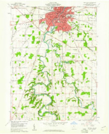
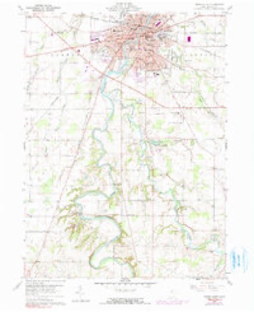
1906 to 1986The same ground, surveyed 80 years apart. Drag the handle to wipe between them. Both sheets are United States Geological Survey originals; neither has been altered.
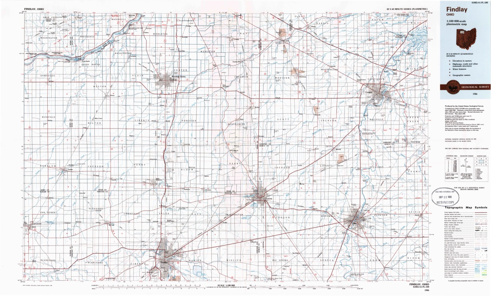
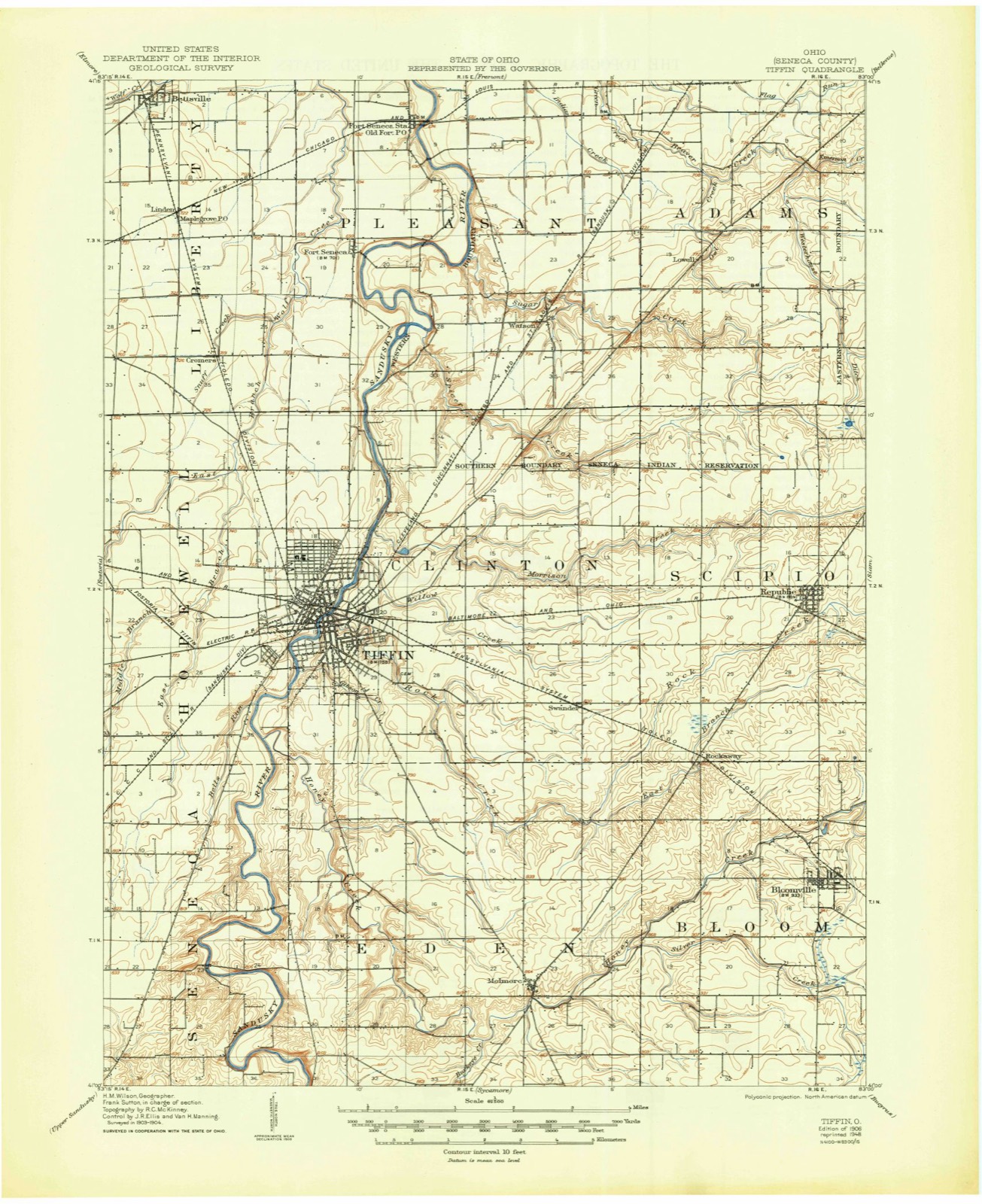
Topographic sheets covering this place
11 sheetsMatched by testing this settlement's coordinate against the published boundary of every sheet in the United States Geological Survey's historical collection. Each opens the scanned sheet at the Survey.
- 1906 USGS Tiffin quadrangle1:62500
- 1956 USGS Toledo quadrangle1:250000
- 1956 USGS Toledo quadrangle1:250000
- 1956 USGS Toledo quadrangle1:250000
- 1956 USGS Toledo quadrangle1:250000
- 1960 USGS Tiffin South quadrangle1:24000
- 1960 USGS Tiffin South quadrangle1:24000
- 1960 USGS Tiffin South quadrangle1:24000
- 1961 USGS Toledo quadrangle1:250000
- 1986 USGS Findlay quadrangle1:100000
- 1986 USGS Findlay quadrangle1:100000





Photographs
3 photographs,Taken for the Office of War Information and the Farm Security Administration, who photographed the country between 1935 and 1944. Works of United States government photographers, with no known restriction on use. Each opens its catalogue record.
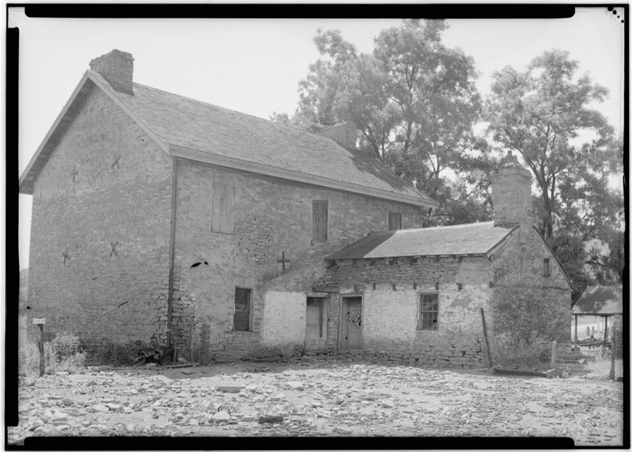
Unattributed, . Library of Congress
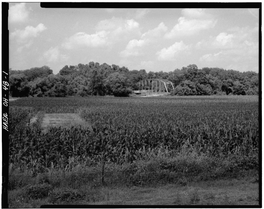
Unattributed, . Library of Congress
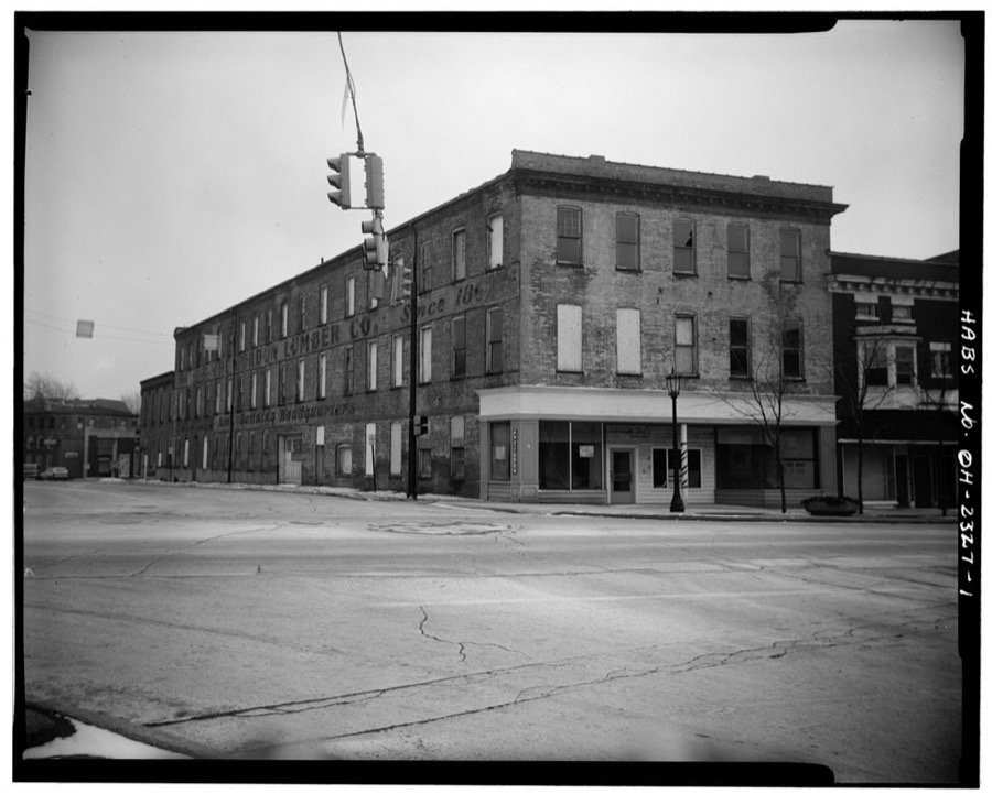
Unattributed, . Library of Congress
Specimens collected nearby
12 of 273 shownMuseums hold 273 specimens collected within 10 miles of Tiffin between 1891 and 1969: 245 Animalia, 19 Fungi, 9 Plantae. 12 distinct Species records are shown. Collected by A. Woolman, Babcock D. C., Baker O. E. and others. Each is a physical object with a catalogue number, and each entry opens the museum's record. This is what was collected and kept, not a survey of what lives here - nothing can be concluded from a species being absent.
| Image | Species | Year | Collected by | Where, as recorded |
|---|---|---|---|---|
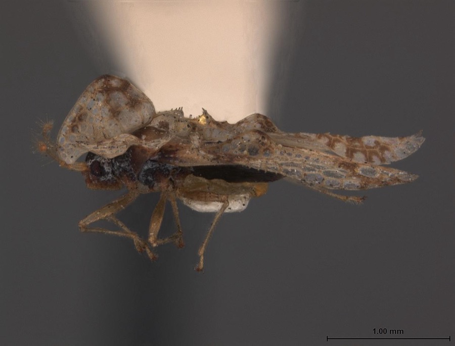 | Corythucha bellula Gibson, 1918 | 1917 | C. Drake | Tiffin |
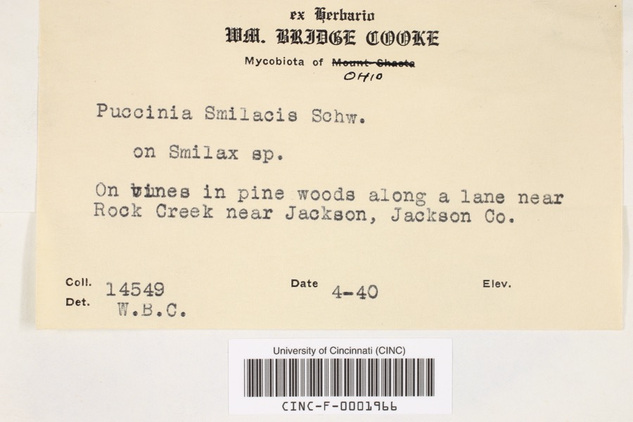 | Puccinia smilacis Schwein. | 1940 | Cooke, William Bridge | near Rock Creek near Jackson |
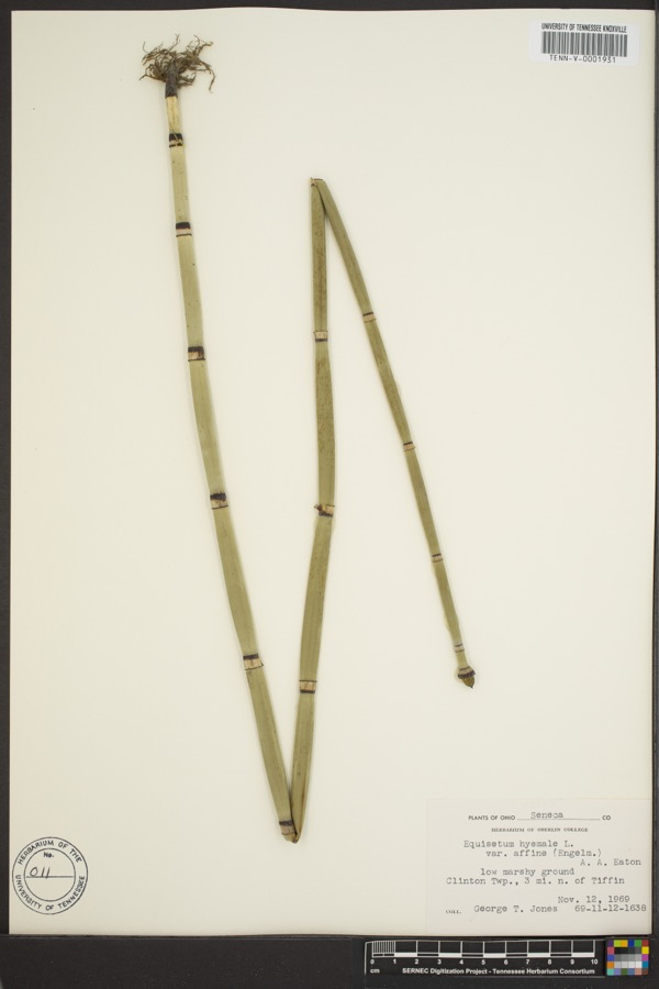 | Equisetum hyemale L. | 1969 | George T. Jones | 3 miles north of Tiffin, Clinton township |
 | Parus bicolor bicolor Sibley & Monroe, 1990 | 1891 | Cross, W | Tiffin |
 | Pluvialis dominica dominica (P.L.S.Müller, 1776) | 1891 | Cross, W | Tiffin |
 | Ambloplites rupestris (Rafinesque, 1817) | 1893 | Woolman | Sandusky River, Tiffin, Ohio |
 | Cambarus rusticus Girard, 1852 | 1893 | United States Fish Commission | Tiffin, Sandusky River |
 | Etheostoma blennioides Rafinesque, 1819 | 1893 | Woolman | Sandusky River, Tiffin, Ohio |
 | Etheostoma caeruleum Storer, 1845 | 1893 | Woolman | Sandusky River, Tiffin, Ohio |
 | Etheostoma nigrum Rafinesque, 1820 | 1893 | Woolman | Sandusky River, Tiffin, Ohio |
 | Hypentelium nigricans (Lesueur, 1817) | 1893 | not recorded | Sandusky River, Tiffin, Ohio |
 | Micropterus dolomieu Lacepède, 1802 | 1893 | not recorded | Sandusky River, Tiffin, Ohio |
All 273 specimens within 10 miles, at the Global Biodiversity Information Facility.
Storms nearby
60 of 105 shownThe National Weather Service names Tiffin in 105 storm reports between 1994 and 2026: 50 thunderstorm wind, 46 hail, 5 flash flood, 2 flood. The reports record 1 death and 3 injuries. Each account below is quoted exactly as the forecast office filed it, from the NOAA Storm Events Database, and each date opens the federal record of that event.
| When | Event | Place named | Harm | What the report says |
|---|---|---|---|---|
| November 2002 | Tornado (F3) | Tiffin | 1 killed, 2 hurt, $12,800,000 | An F1 tornado touched down southwest of Tiffin near the Seneca County Airport. The tornado moved east northeast and strengthened to F3 intesity as it crossed U.S. Highway 224 and moved into Tiffin. The Honey Creek subdivision along County Road 19 near US 224 was hard hit. Six homes on Nantucket Drive in the subdivision were destroyed and many other homes damaged. As the tornado continued across the southern part of Tiffin it leveled a business along State Route 231 and destroyed several homes on Siesta Drive just east of State Route 231. A retirement community along St. Francis Avenue and just north of Siesta Drive was also hard hit by the tornado. Eight homes in the community were destroyed with five more damaged enough to be declared uninhabitable. Another 25 homes sustained lesser amounts of damage and several cars were found lying upside down. The tornado weakened to F2 intensity as it crossed State Route 100 and moved over Greenlawn Cemetary. From the cemetary, the tornado began to move in more of a northeasterly direction and briefly weakened to F1 intensity as it passed to the east of Heidelburg College. The tornado reintensified to F2 as it crossed State Route 18 and continued northeast across open country where it damaged many more homes and buildings. The tornado reached strong F3 intensity for several miles to the northwest and north of Republic. A 24 year old male was killed and two other people seriously injured when a home in Scipio Township on County Road 38 near County Road 43 was swept off of it's foundation. Two other homes nearby were also leveled. The tornado remained on the ground for another ten miles and gradually weakened to F2 intensity. It finally lifted south of State Route 18 near Fireside. Later, the same parent thunderstorm spawned another tornado a few miles away in Huron County. Overall, this tornado destroyed 32 homes and businesses, heavily damaged another eight and slightly damaged around 70 homes in Seneca County. Dozens of cars were also damaged and destroyed with downed trees and power poles numbering in the hundreds. The damage path from this tornado was roughly 21 miles in length and over 200 yards in width at times. |
| July 1999 | Lightning | Tiffin | 1 hurt | A 20 year old male was struck by lightning while golfing. The man was treated at a local hospital for minor injuries. |
| February 2011 | Flash Flood | Tiffin | $1,500,000 | Portions of the Heidelberg University campus in Tiffin and the local YMCA were flooded as Rock Creek came out of it's banks. Waist deep water was reported in the Clinton Mobile Home park. The Riverbend Apartments experienced flooding in the lower-level apartments. At least 30 vehicles were damaged by flooding on the Heidelberg campus. Two drivers were rescued from submerged vehicles on county road 16 in Bloomville. One rescue occurred at US 224 just east of county road 17. Additional water rescues occurred at SR 19, CR 16, and TR 218. |
| May 2005 | Thunderstorm Wind | Tiffin | $150,000 | Thunderstorms winds blew several containers off of a moving train five miles west of Tiffin. |
| July 2011 | Flash Flood | Tiffin | $100,000 | Over six inches of rain fell over Tiffin during the overnight hours. This resulted in numerous road closures, abandoned cars, and the evacuation of the Clinton Estates mobile home park. The YMCA building was flooded with significant damage. Most roads around Tiffin were closed for several hours. |
| April 2007 | Thunderstorm Wind | Tiffin | $100,000 | Thunderstorm downburst winds downed a dozen power poles along County Road 48 west of Tiffin in Hopewell Township. Two trees were also toppled southwest of Tiffin near the intersection of State Route 53 and U.S. Highway 224. |
| March 2017 | Thunderstorm Wind | Tiffin | $75,000 | A line of thunderstorms moved across Seneca County downing at least 30 trees across the southern half of the county. Some power outages were reported as well. |
| July 2013 | Flash Flood | Tiffin | $50,000 | In Tiffin, water reached between two and three feet behind Tiffin Mall on Westwood and Northwood drives. The residential area between Kroger and Miami Street was most affected as many homes had up to a foot of water in their basements. Roadways in Seneca County with high water included CR 26, east of SR 53, SR 18, west of 224 and SR 53 south of Fort Seneca. |
| May 2011 | Hail | Tiffin | $50,000 | Thunderstorms produced a swath of quarter to golf ball size hail. Numerous vehicles and homes were damaged as a result of the large hail. |
| September 2011 | Thunderstorm Wind | Tiffin | $50,000 | Thunderstorm winds downed many trees across Seneca County. |
| August 2011 | Thunderstorm Wind | Tiffin | $50,000 | Thunderstorm winds downed several trees in Tiffin. At least two homes were damaged by the fallen trees. |
| April 1994 | Thunderstorm Wind | Tiffin | $50,000 | Ten utility poles were downed, some snapped in half. |
| June 2014 | Thunderstorm Wind | Tiffin | $40,000 | Thunderstorms winds downed trees near Tiffin on County Roads 14 and 26 and Township Road 58. Power outages were also reported in the area. |
| November 1998 | Thunderstorm Wind | Tiffin | $40,000 | Many trees and power lines were downed, a shed was blown over and a light pole fell on a car. |
| July 2016 | Thunderstorm Wind | Tiffin | $20,000 | The Emergency Manager reported thunderstorm winds brought a barn down on County Road 48 one mile north of Tiffin. Trees were also reported down in northern Seneca County between Bettsville and Old Fort. |
| August 2011 | Thunderstorm Wind | Tiffin | $20,000 | Thunderstorm winds knocked a tree down on top of a house. |
| May 2007 | Hail | Tiffin | $20,000 | Golf ball size hail was observed. |
| November 2002 | Hail | Tiffin | $20,000 | Half dollar size hail was observed seven miles east of Tiffin. |
| August 1998 | Thunderstorm Wind | Tiffin | $20,000 | A tree was downed on a house. |
| June 1998 | Thunderstorm Wind | Tiffin | $20,000 | A wind gust was estimated at 71 miles per hour. The roof was blown off of a barn and large limbs were downed. |
| April 2026 | Thunderstorm Wind | Tiffin | $14,000 | Seven power poles downed in Tiffin. |
| August 2019 | Thunderstorm Wind | Tiffin | $10,000 | A tree was blown down on a house. |
| July 2015 | Thunderstorm Wind | Tiffin | $10,000 | Thunderstorm winds snapped a large tree limb. The limb damage a house and downed some power lines. |
| June 2015 | Thunderstorm Wind | Tiffin | $10,000 | Thunderstorm winds caused a large tree limb to fall on a car trapping the person inside. No injuries were reported. |
| October 2010 | Thunderstorm Wind | Tiffin | $10,000 | Thunderstorm winds downed several trees near Tiffin. |
| June 2002 | Thunderstorm Wind | Tiffin | $10,000 | Thunderstorm winds downed several trees along US Highway 224 near Tiffin. |
| July 1999 | Thunderstorm Wind | Tiffin | $10,000 | Many large tree limbs and power lines downed. |
| March 1998 | Thunderstorm Wind | Tiffin | $10,000 | Trees were downed. |
| June 2022 | Thunderstorm Wind | Tiffin | $8,000 | Trained spotter estimated a 60 mph peak gust from a passing thunderstorm and saw shingles ripped from roof about three-miles east of Tiffin. |
| May 2010 | Hail | Tiffin | $5,000 | Half dollar sized hail was observed. |
| June 2004 | Thunderstorm Wind | Tiffin | $5,000 | Thunderstorm winds downed a few large tree limbs. |
| November 2003 | Thunderstorm Wind | Tiffin | $5,000 | Thunderstorm winds downed one tree and several large limbs. |
| July 2003 | Thunderstorm Wind | Tiffin | $5,000 | Thunderstorm winds downed trees in Tiffin and Fostoria. |
| May 2002 | Hail | Tiffin | $5,000 | Dime size hail was reported one mile east of Tiffin. |
| June 2000 | Thunderstorm Wind | Tiffin | $5,000 | Thunderstorm winds downed several trees just east and northeast of Tiffin. A single large tree was also knocked down in Fostoria at 235 pm. |
| June 1998 | Thunderstorm Wind | Tiffin | $4,000 | Several trees were downed, at least one on a car. |
| July 2011 | Thunderstorm Wind | Tiffin | $3,000 | Thunderstorm winds downed a few large tree limbs. |
| May 2008 | Thunderstorm Wind | Tiffin | $3,000 | Thunderstorm winds downed one tree and one large limb. |
| June 2010 | Thunderstorm Wind | Tiffin | $2,000 | Thunderstorm winds downed several large tree limbs. A large tree was also reported down across State Route 53 north of Tiffin. |
| June 2008 | Thunderstorm Wind | Tiffin | $2,000 | Thunderstorm winds downed a tree and a large limb. |
| July 2005 | Thunderstorm Wind | Tiffin | $2,000 | A few large limbs were reported down. |
| April 2003 | Hail | Tiffin | $2,000 | Dime size hail was observed two miles south of Tiffin. |
| April 2003 | Hail | Tiffin | $2,000 | Penny size hail was observed. |
| December 1998 | Thunderstorm Wind | Tiffin | $2,000 | Large limbs were downed southwest of Tiffin. |
| May 2014 | Hail | Tiffin | $1,000 | The public reported quarter size hail in Tiffin. |
| June 2011 | Thunderstorm Wind | Tiffin | $1,000 | Thunderstorm winds downed a large tree. |
| June 2010 | Thunderstorm Wind | Tiffin | $1,000 | Thunderstorm winds downed a large tree limb. |
| August 2009 | Thunderstorm Wind | Tiffin | $1,000 | A few large limbs were reported down. |
| June 2008 | Thunderstorm Wind | Tiffin | $1,000 | A few large limbs were reported down. |
| July 2005 | Thunderstorm Wind | Tiffin | $1,000 | A few large limbs were reported down. |
| November 2005 | Thunderstorm Wind | Tiffin | $1,000 | A few large limbs were reported down. |
| April 2004 | Hail | Tiffin | $1,000 | Quarter size hail was observed five miles north of Tiffin. |
| June 2025 | Thunderstorm Wind | Tiffin | - | Numerous trees downed about two-miles south of Tiffin. |
| June 2025 | Thunderstorm Wind | Tiffin | - | Tree downed in Tiffin. |
| July 2025 | Flash Flood | Tiffin | - | Multiple locations along a several mile stretch of U.S. 224 between Tiffin and Attica with 6 to 8 inches of flowing water across the roadway. Radar estimated 1.5 to 2.5 inches of rainfall in just under one hour leading up to the flash flooding, in addition to the 1.5 to 2.75 inches of rain that fell in the previous six hours before the flash flood causative torrential rainfall. |
| March 2024 | Hail | Tiffin | - | Hail up to quarter-size on the southwest side of Tiffin. |
| August 2024 | Thunderstorm Wind | Tiffin | - | Several tree limbs downed in Tiffin. |
| September 2024 | Hail | Tiffin | - | Hail up to quarter-size in Tiffin. |
| April 2023 | Thunderstorm Wind | Tiffin | - | Several trees, tree limbs, and utility poles downed in Tiffin. |
| August 2023 | Flash Flood | Tiffin | - | Reports of several streets flooded and impassable in Tiffin. Radar estimated rainfall of 1.25 to 2 inches fell in a 45 to 60 minute period. |
Newspapers printed here
0 digitised pages3 papers published in this town, digitised by the Library of Congress and free to read: 0 issues, 0 pages. Every page is searchable, so a name or a street can be looked for directly in what the town printed about itself at the time.
| Newspaper | Published |
|---|---|
| The Tiffin Tribune | 1848 to 1859 |
| The Tiffin Weekly Tribune | 1859 to 1868 |
| The Tiffin Tribune | 1868 to 1887 |
What the paper printed
35,758 wordsFront pages of the local paper, read from the Library of Congress scans: 12 issues spread across its run from 1856 to 1879, 35,758 words in total. Each is reproduced on its own page, exactly as the recogniser returned it.
These pages read less well than anything else here, and the number is worth stating: about three words in four come through cleanly, against nine in ten for the building records. An 1896 broadsheet sets eight-point type in seven columns on microfilm, which is the hardest thing in this archive to read by machine. We tested our own recognisers against the Library's and they were not better, so the Library's text is what appears, with the wholly unreadable columns removed. Read it as a guide to what the paper covered, and follow the link to the scan before quoting anything.
| Issue | Paper | Length |
|---|---|---|
| 1856-05-09 | The Tiffin Tribune | 4,144 words |
| 1856-07-25 | The Tiffin Tribune | 604 words |
| 1856-10-31 | The Tiffin Tribune | 2,591 words |
| 1856-11-28 | The Tiffin Tribune | 2,311 words |
| 1858-09-10 | The Tiffin Tribune | 3,079 words |
| 1859-08-19 | The Tiffin Weekly Tribune | 2,763 words |
| 1859-10-07 | The Tiffin Weekly Tribune | 1,961 words |
| 1859-12-02 | The Tiffin Weekly Tribune | 2,743 words |
| 1868-11-19 | The Tiffin Tribune | 2,671 words |
| 1868-12-03 | The Tiffin Tribune | 3,444 words |
| 1868-12-24 | The Tiffin Tribune | 5,184 words |
| 1879-04-24 | The Tiffin Tribune | 4,263 words |
Nearest settlements
The eight closest, with where each one stands in the county. Distances are straight-line, computed from the Geographic Names Information System coordinates.
| Map | Place | Distance | Sheets |
|---|---|---|---|
| Highland Park Estates | 1.3 miles | 11 | |
| Center | 2.2 miles | 11 | |
| Brookpark Estates | 3.2 miles | 11 | |
| Swander | 4.7 miles | 13 | |
| Cromers | 5.0 miles | 11 | |
| Mount Gilead | 5.6 miles | 11 | |
| Bascom | 5.8 miles | 11 | |
| Watson | 6.5 miles | 11 |
Elsewhere
Matched on this settlement's Geographic Names Information System number rather than its name, so it cannot be a different place of the same name in another state.
| Wikipedia article on Tiffin | An encyclopaedic summary. Its text is share-alike, so it is linked here rather than copied. |
| Wikidata item Q990934 | The structured record the population and elevation above come from. Public domain (CC0). |
Provenance
This settlement is recorded in the Geographic Names Information System as feature 1058075. The sheet list is computed by point-in-boundary test against the United States Geological Survey's historical topographic inventory. Both are works of the United States government and carry no copyright under 17 U.S.C. 105.
Specimens. Global Biodiversity Information Facility (GBIF), https://www.gbif.org/. Only records licensed CC0 or CC BY are used. Records licensed CC BY-NC are excluded because this site carries advertising. Images are checked individually and any whose licence is non-commercial, no-derivatives or unreadable is refused.
Storms. NOAA National Centers for Environmental Information, Storm Events Database https://www.ncei.noaa.gov/stormevents/ A work of the United States government, no copyright under 17 U.S.C. 105. Narratives are quoted verbatim from the National Weather Service report and are not edited or summarised.