 Block
Block
Cridersville, Ohio
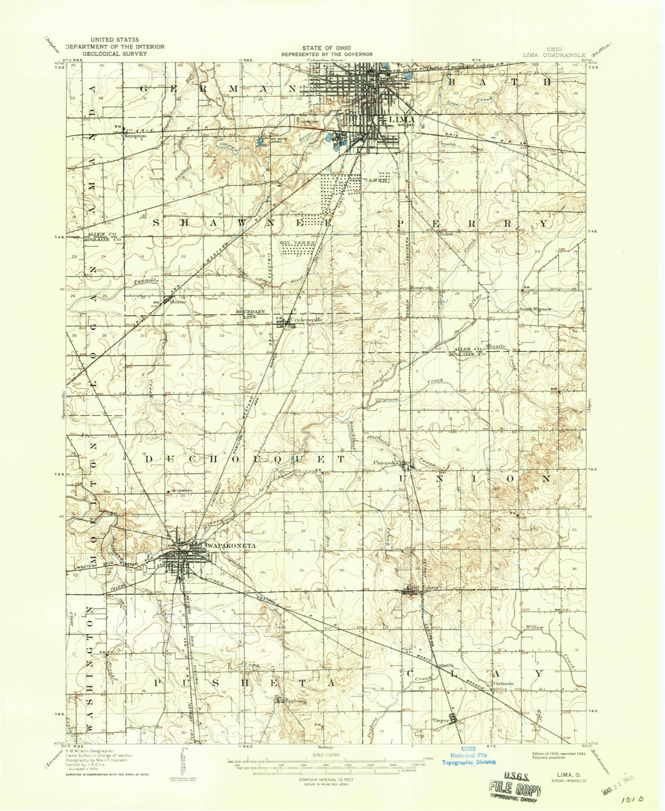
14 topographic sheets cover this place, the earliest surveyed in 1906 and the latest in 1986. It stands in Duchouquet Township. It lies in ZIP code area 45806. The Survey maps it on the Cridersville quadrangle. 1,791 people lived here at the 2020 count. It stands 886 feet above sea level.
Population over time
2 figuresCridersville fell from 1,852 to 1,791 between 2010 and 2020. These are the recorded population figures Wikidata holds for this place, reached through the Geographic Names Information System number this page is keyed on rather than by name, so they belong to this place and not to another of the same name. Most are census counts, but not all are: an early figure may be a founding or settlement estimate. The change column is computed, and is left blank where more than 20 years separate a figure from the one before it, because a gap that long is not a change between two counts.
| Year | People | Change |
|---|---|---|
| 2010 | 1,852 | |
| 2020 | 1,791 | -61 (-3%) |
Then and now
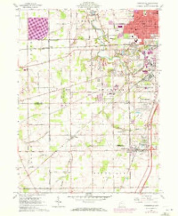
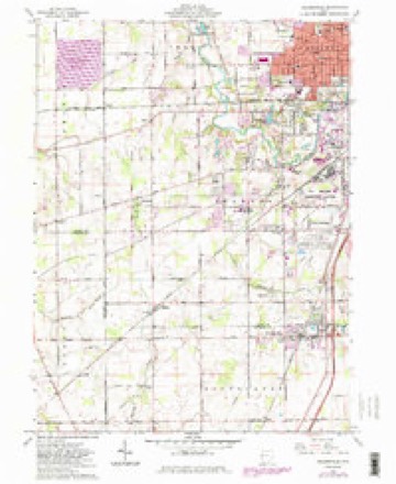
1906 to 1986The same ground, surveyed 80 years apart. Drag the handle to wipe between them. Both sheets are United States Geological Survey originals; neither has been altered.

Topographic sheets covering this place
14 sheetsMatched by testing this settlement's coordinate against the published boundary of every sheet in the United States Geological Survey's historical collection. Each opens the scanned sheet at the Survey.
- 1906 USGS Lima quadrangle1:62500
- 1906 USGS Lima quadrangle1:62500
- 1953 USGS Muncie quadrangle1:250000
- 1953 USGS Muncie quadrangle1:250000
- 1953 USGS Muncie quadrangle1:250000
- 1953 USGS Muncie quadrangle1:250000
- 1953 USGS Muncie quadrangle1:250000
- 1956 USGS Muncie quadrangle1:250000
- 1961 USGS Cridersville quadrangle1:24000
- 1961 USGS Cridersville quadrangle1:24000
- 1961 USGS Cridersville quadrangle1:24000
- 1986 USGS Lima quadrangle1:100000
- 1986 USGS Lima quadrangle1:100000
- 1986 USGS Lima quadrangle1:100000









Specimens collected nearby
12 of 787 shownMuseums hold 787 specimens collected within 10 miles of Cridersville between 1882 and 1975: 780 Animalia, 5 Fungi, 2 Plantae. 12 distinct Species records are shown. Collected by Adler, K. K., Buhlman, M. & Buhlman, M., Bureau of Fisheries and others. Each is a physical object with a catalogue number, and each entry opens the museum's record. This is what was collected and kept, not a survey of what lives here - nothing can be concluded from a species being absent.
| Image | Species | Year | Collected by | Where, as recorded |
|---|---|---|---|---|
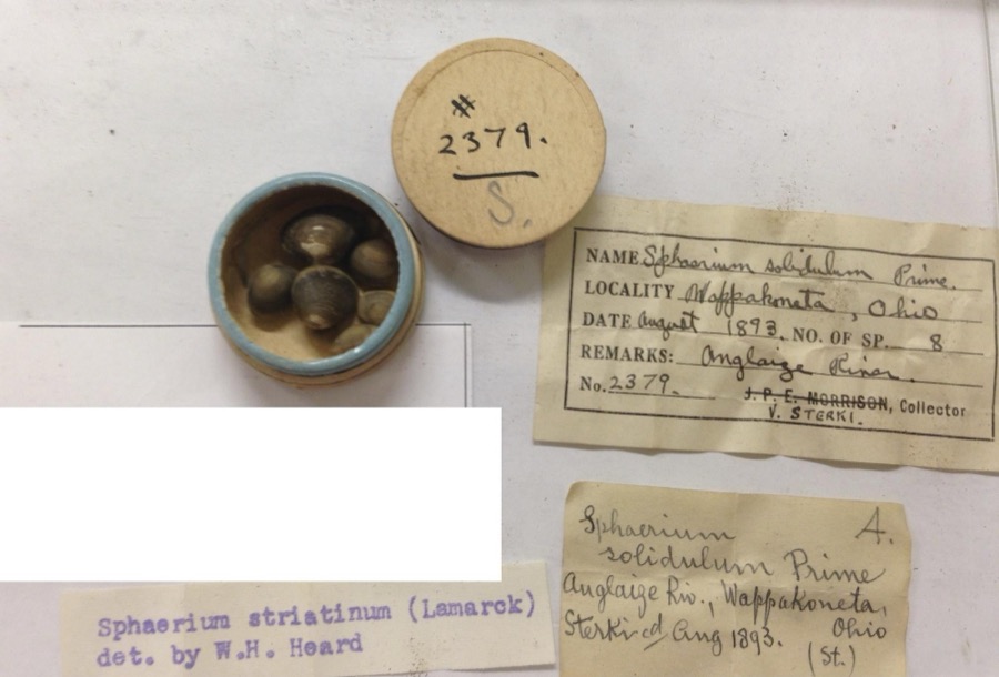 | Sphaerium striatinum (Lamarck, 1818) | 1893 | not recorded | Auglaize River, Wapakoneta [Wappakoneta] |
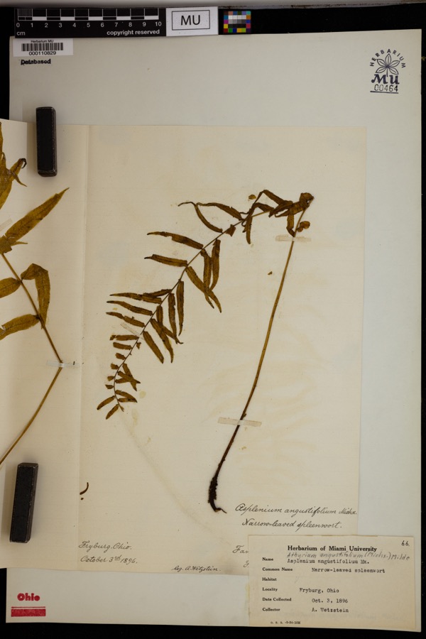 | Athyrium pycnocarpon (Spreng.) Tidestr. | 1896 | Wetzstein, A. | Fryburg. |
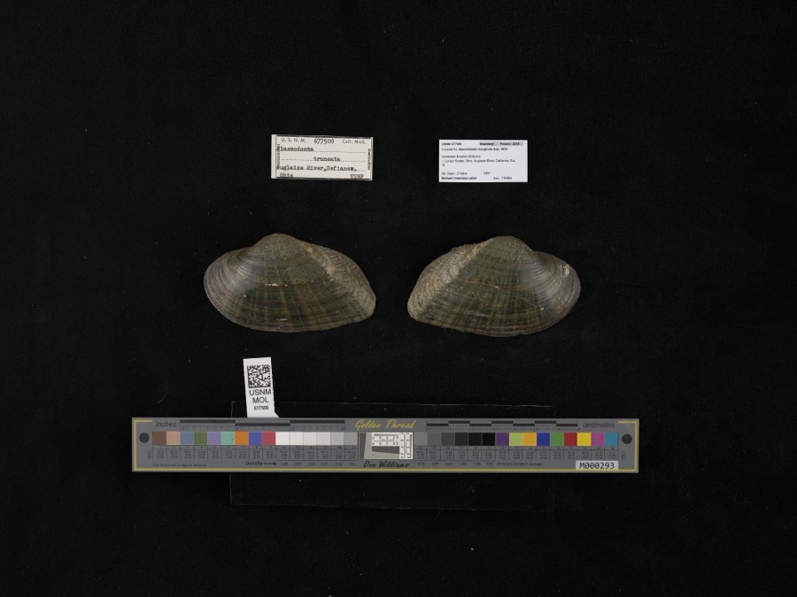 | Alasmidonta marginata Say, 1818 | 1908 | not recorded | Auglaize River, Defiance |
 | Recurvirostra americana J.F.Gmelin, 1789 | 1882 | Uller, C. (Clem) | St. Marys Res, Auglaize, Ohio, USA |
 | Alasmidonta viridis (Rafinesque, 1820) | 1893 | Sterki, Victor | Wapakoneta |
 | Amblema plicata (Say, 1817) | 1893 | Sterki, Victor | Wapakoneta |
 | Ameiurus nebulosus (Lesueur, 1819) | 1893 | P. Kirsch | Anglaize Rver, Wapakaneta, Ohio |
 | Anodontoides ferussacianus (I.Lea, 1834) | 1893 | Sterki, Victor | Wapakoneta |
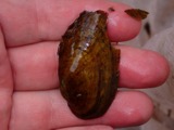 | Cambarunio iris (I.Lea, 1829) | 1893 | Sterki, Victor | Wapakoneta |
 | Campostoma anomalum (Rafinesque, 1820) | 1893 | P. Kirsch | Ohio, Auglaize River, Wapakoneta |
 | Catostomus commersonii (Lacepède, 1803) | 1893 | P. Kirsch | Ohio, Auglaize River, Wapakoneta |
 | Fusconaia flava (Rafinesque, 1820) | 1893 | Sterki, Victor | Wapakoneta |
All 787 specimens within 10 miles, at the Global Biodiversity Information Facility.
Mines and quarries nearby
1 within 5 milesThe federal mineral resources record lists 1 working within 5 miles of Cridersville: 1 plant. All of them still produce. What was taken out: Sulfur. Distance is straight-line from the map coordinates, so a quarry counted here may appear on a neighbouring settlement's page as well.
| Where | Site | Commodity | Status | Recorded |
|---|---|---|---|---|
| (Facility) Lima Ohio Refinery | Sulfur | Plant |
Storms nearby
21 since 1999The National Weather Service names Cridersville in 21 storm reports between 1999 and 2025: 7 thunderstorm wind, 5 hail, 5 flood, 3 flash flood. No death or injury is recorded in these reports. Each account below is quoted exactly as the forecast office filed it, from the NOAA Storm Events Database, and each date opens the federal record of that event.
| When | Event | Place named | Harm | What the report says |
|---|---|---|---|---|
| July 2013 | Thunderstorm Wind | Cridersville | $300,000 | A building at a lumber yard collapsed due to thunderstorm winds. Numerous other structures in the Cridersville area sustained damage to them. |
| October 2010 | Tornado (EF2) | Cridersville | $230,000 | The tornado touched down in Auglaize County at 1059 EST and continued into Allen County at 1102 EST before lifting at 1103 EST. The path width was 110 yards in Auglaize County and 20 yards in Allen County. The tornado traveled for 2.53 miles in Auglaize County and then 1.39 miles in Allen County. The damage was consistent with winds around 110 miles per hour in Auglaize County and 75 miles per hour in Allen County. The tornado was rated an EF2 in Auglaize County and an EF0 in Allen County. The tornado initially touched down southwest of Cridersville where the tornado destroyed a barn. The tornado briefly lifted and then touched down in Cridersville. Damage in Cridersville included roofs blown off of houses, a house shifted off of the foundation, a house with major structural damage, and a half collapsed brick gymnasium. Objects were also impaled into the side of buildings. The tornado again briefly lifted and then touched down again in Allen County near McClain Road, north of Hume Road. At this location a quarter of a metal roof was pulled off of a metal barn. Damage estimates in Auglaize County are 230,000 dollars and in Allen County damage estimates are 8,000 dollars. |
| June 2008 | Thunderstorm Wind | Cridersville | $3,000 | Large trees were knocked down. |
| July 2001 | Thunderstorm Wind | Cridersville | $3,000 | Thunderstorm winds knocked down trees. |
| July 1999 | Thunderstorm Wind | Cridersville | $3,000 | Numerous large limbs down. |
| July 1999 | Thunderstorm Wind | Cridersville | $3,000 | Numerous large limbs downed. |
| July 2015 | Thunderstorm Wind | Cridersville | $1,000 | A couple of trees were downed, one on Spencer Circle and another on Brown Road. |
| July 2015 | Thunderstorm Wind | Cridersville | $1,000 | Two trees were downed in the Cridersville area. |
| July 2013 | Flash Flood | Cridersville | $1,000 | Up to 3 feet of rushing water was reported in some locations near Cridersville due to heavy rainfall. |
| April 2024 | Flood | Cridersville | - | High water was reported on River Road near State Route 65. |
| July 2017 | Flash Flood | Cridersville | - | High water was reported along Hauss Road. |
| July 2017 | Flash Flood | Cridersville | - | High water forced a few roads to be closed in the Waynesfield area. |
| June 2015 | Flood | Cridersville | - | River Road was closed due to flooding. |
| June 2015 | Flood | Cridersville | - | I-75 northbound was closed due to flooding at mile marker 116. |
| June 2015 | Flood | Cridersville | - | Northbound I-75 was closed at Ohio State Route 208. |
| June 2015 | Flood | Cridersville | - | Ohio State Route 65 was closed at the Allen/Auglaize County line between River Road and Sellers Road due to high water. |
| April 2025 | Hail | Cridersville | - | no account filed |
| March 2017 | Hail | Cridersville | - | no account filed |
| July 2013 | Hail | Cridersville | - | no account filed |
| April 2013 | Hail | Cridersville | - | no account filed |
| August 2011 | Hail | Cridersville | - | no account filed |
Nearest settlements
The eight closest, with where each one stands in the county. Distances are straight-line, computed from the Geographic Names Information System coordinates.
| Map | Place | Distance | Sheets |
|---|---|---|---|
| Green Acres | 2.1 miles | 15 | |
| Uniopolis | 4.9 miles | 14 | |
| Sherwood Forest | 5.7 miles | 15 | |
| Buckland | 6.2 miles | 14 | |
| Wapakoneta | 6.4 miles | 15 | |
| Colonial Estates | 6.6 miles | 15 | |
| Pusheta Town (historical) | 7.3 miles | 15 | |
| Rineharts (historical) | 7.3 miles | 14 |
Elsewhere
Matched on this settlement's Geographic Names Information System number rather than its name, so it cannot be a different place of the same name in another state.
| Wikipedia article on Cridersville | An encyclopaedic summary. Its text is share-alike, so it is linked here rather than copied. |
| Wikidata item Q2151327 | The structured record the population and elevation above come from. Public domain (CC0). |
Provenance
This settlement is recorded in the Geographic Names Information System as feature 1056849. The sheet list is computed by point-in-boundary test against the United States Geological Survey's historical topographic inventory. Both are works of the United States government and carry no copyright under 17 U.S.C. 105.
Specimens. Global Biodiversity Information Facility (GBIF), https://www.gbif.org/. Only records licensed CC0 or CC BY are used. Records licensed CC BY-NC are excluded because this site carries advertising. Images are checked individually and any whose licence is non-commercial, no-derivatives or unreadable is refused.
Mines and quarries. USGS Mineral Resources Data System (MRDS) https://mrdata.usgs.gov/mrds/ A work of the United States government, no copyright under 17 U.S.C. 105.
Storms. NOAA National Centers for Environmental Information, Storm Events Database https://www.ncei.noaa.gov/stormevents/ A work of the United States government, no copyright under 17 U.S.C. 105. Narratives are quoted verbatim from the National Weather Service report and are not edited or summarised.