 Block
Block
Unity, Ohio
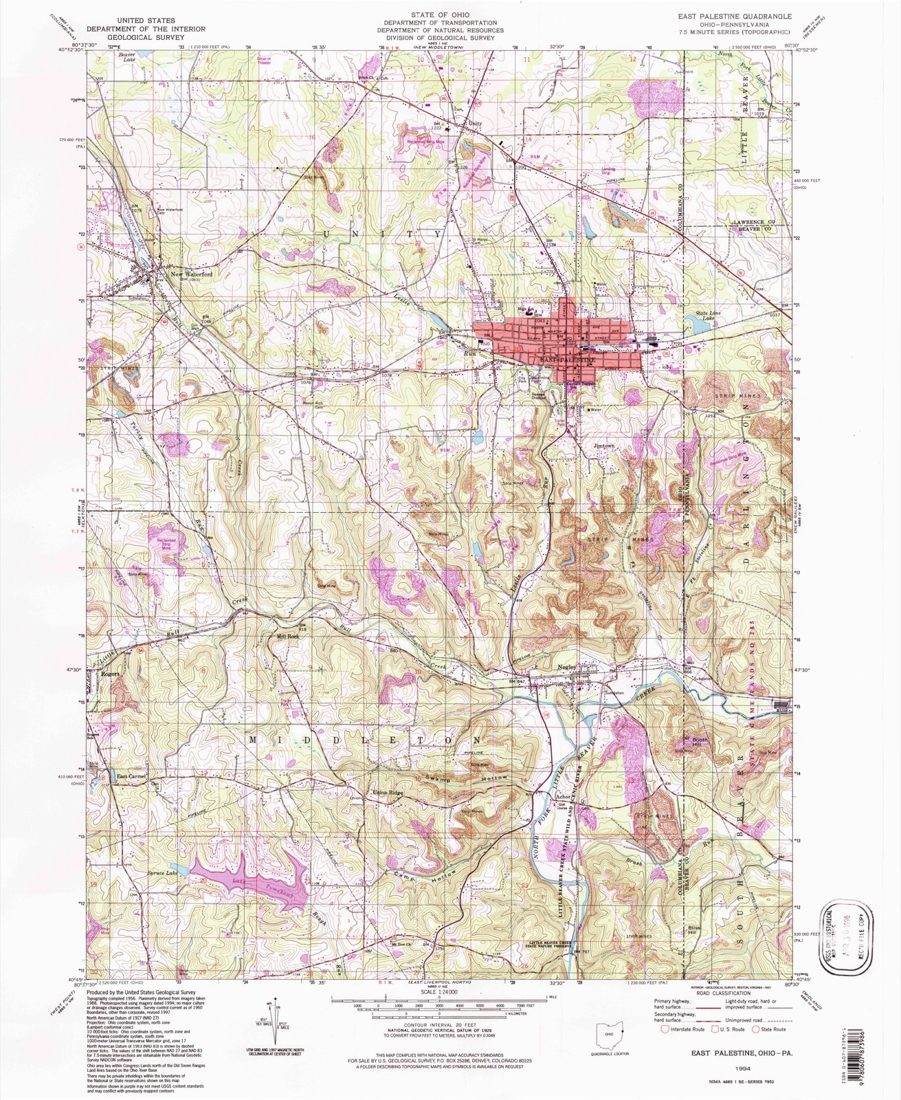
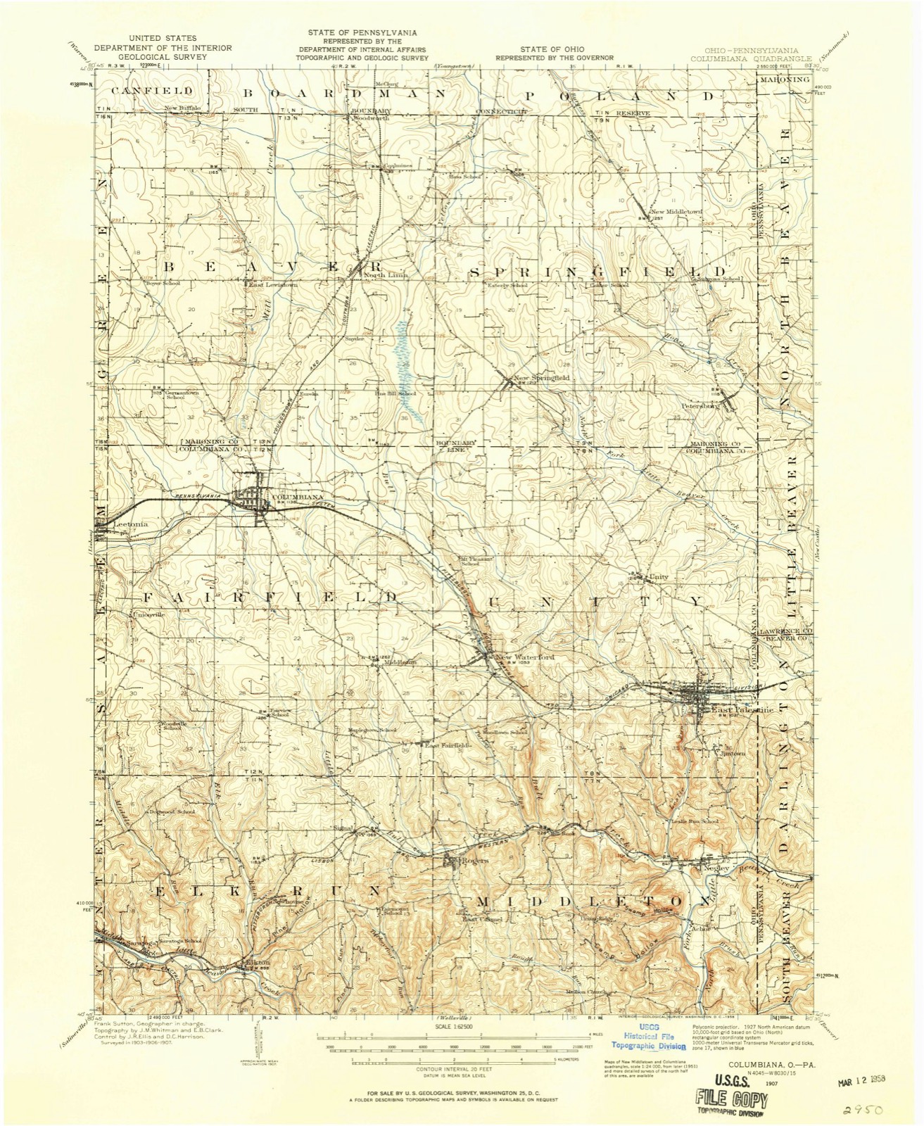
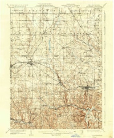
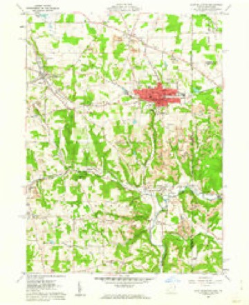
17 topographic sheets cover this place, the earliest surveyed in 1907 and the latest in 1994. It stands in Unity Township. It lies in ZIP code area 44413. The Survey maps it on the East Palestine quadrangle.
Then and now
1907 to 1994The same ground, surveyed 87 years apart. Drag the handle to wipe between them. Both sheets are United States Geological Survey originals; neither has been altered.
Compare 1907 against another survey:
Topographic sheets covering this place
17 sheetsMatched by testing this settlement's coordinate against the published boundary of every sheet in the United States Geological Survey's historical collection. Each opens the scanned sheet at the Survey.
- 1907 USGS Columbiana quadrangle1:62500
- 1909 USGS Columbiana quadrangle1:62500
- 1909 USGS Columbiana quadrangle1:62500
- 1951 USGS Canton quadrangle1:250000
- 1953 USGS Canton quadrangle1:250000
- 1957 USGS Canton quadrangle1:250000
- 1957 USGS Canton quadrangle1:250000
- 1957 USGS Canton quadrangle1:250000
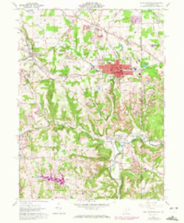
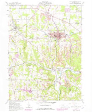
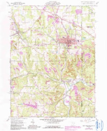
- 1960 USGS East Palestine quadrangle1:24000
- 1960 USGS East Palestine quadrangle1:24000
- 1960 USGS East Palestine quadrangle1:24000
- 1960 USGS East Palestine quadrangle1:24000
- 1962 USGS Canton quadrangle1:250000
- 1962 USGS Canton quadrangle1:250000
- 1986 USGS East Liverpool quadrangle1:100000
- 1986 USGS East Liverpool quadrangle1:100000
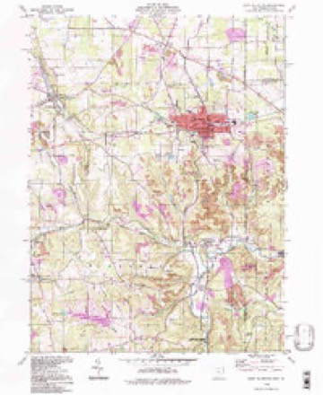
- 1994 USGS East Palestine quadrangle1:24000







In the county-history sources
8,241 words on this townshipHistory of Columbiana County, Ohio, published 1879 names this settlement in its chapter on Unity Township. These are the passages that mention it, exactly as the scans read.
This township forms the northeastern corner of the county, and is known in the government survey as township 8, in range 1. Its original proportions are yet preserved, Unity being six miles square, and bounded on the north by Springfield, in Mahoning County, on the east by Pennsylvania, on the south by the township of Middleton, and on the west by Fairfield township. The surface of the northern part of Unity is level, but is more broken in the parts near the southern boundary and along the streams in that part of the township where are high hills, marking the limits of small valleys. Nearly the entire surface is sufficiently undulated to afford natural drainage, the area of swampy lands being comparatively small. The greater part of the township has been denuded of the virgin forests which covered it, but enough timber of the common varieties remains for domestic use. The surface is underlaid with coal, which, in the southern part especially, is of an excellent quality. Potter's clay may be procured in the eastern part, and indications of iron-ore abound. The principal streams are Little Beaver Creek, in the northeast ; Lesslie's Run, south of the centre ; and Bull Creek, in the southwest, all having a general southeasterly course. Formerly these streams had greater volume than at present, there being now insufficient water to afford much power.
Passage source: History of Columbiana County, Ohio, published 1879.
The traditions of the early settlements are vaguely remembered ; and, no recorded history of that important period having been preserved to prompt the memory of the few remaining pioneers, the accounts they give are often so obscure as to render them unsatisfactory. It appears that the first to occupy the soil of Unity were a class of people called squatters, who came there in the belief that it was Pennsylvania territory, and that they could hold their lands by right of settlement. Having no means to purchase their lands, they gave way for another class of men, who had enough means to secure the land. It is said that a man named Beard was the first settler in the township, he having located on section 19 some time before 1800, or in that year. What became of him, or when he left, cannot be learned. Others came a little later, to remain identified with the township. Some of these are here briefly noticed :
Passage source: History of Columbiana County, Ohio, published 1879.
Richard Dildine came from Essex Co., N. J., in 1801, and entered the whole of section 20. He had at that time but one child, - John, who is yet living on this section, and is the oldest settler in the township. Seven daughters and two sons were born in Unity. One of the latter, Richard, now occupies the original homestead. Mr. Dildine experi-
Passage source: History of Columbiana County, Ohio, published 1879.
Machine-read from a century-old scan, so expect the errors a machine makes: misspelled names, dropped words, stray characters.
Read the whole chapter on Unity Township - it names this place 9 more 9 times.
Fires near this place
6 since 2009Regional context, not property-specific evidence. The federal wildfire occurrence database lists 6 fires within 5 miles of Unity between 2009 and 2014, burning about 15 acres in total. None started naturally. None was recorded as arson. Distance is straight-line from the map coordinates, so a fire counted here may appear on a neighbouring settlement's page as well.
| Reported cause | Fires |
|---|---|
| Debris and open burning | 4 |
| Missing data/not specified/undetermined | 2 |
The most recent of them, most recent first, with the day each was reported and the service that recorded it.
| Date | Cause | Size | Reported by | Name on the report |
|---|---|---|---|---|
| 6 April 2010 | Debris and open burning | under an acre | Ohio Department of Natural Resources | not named |
| 3 April 2014 | Debris and open burning | under an acre | Ohio Department of Natural Resources | not named |
| 6 March 2009 | Debris and open burning | 5.0 acres | Ohio Department of Natural Resources | not named |
| 13 March 2009 | Debris and open burning | 5.0 acres | Ohio Department of Natural Resources | not named |
| 4 November 2014 | Missing data/not specified/undetermined | 1.5 acres | Ohio Department of Natural Resources | not named |
| 4 November 2014 | Missing data/not specified/undetermined | 3.0 acres | Ohio Department of Natural Resources | not named |
Settlements close enough to share some of these fires:
Specimens collected near this place
12 of 312 shownRegional context, not property-specific evidence. Museums hold 312 specimens collected within 10 miles of Unity between 1882 and 1975: 190 Plantae, 107 Animalia, 15 Fungi. 12 distinct Species records are shown. Collected by Armbruster, D. C. (Daniel C.), Bright, J., Buker, W.E.; Henry, L.K. and others. Each is a physical object with a catalogue number, and each entry opens the museum's record. This is what was collected and kept, not a survey of what lives here - nothing can be concluded from a species being absent.
| Image | Species | Year | Collected by | Where, as recorded |
|---|---|---|---|---|
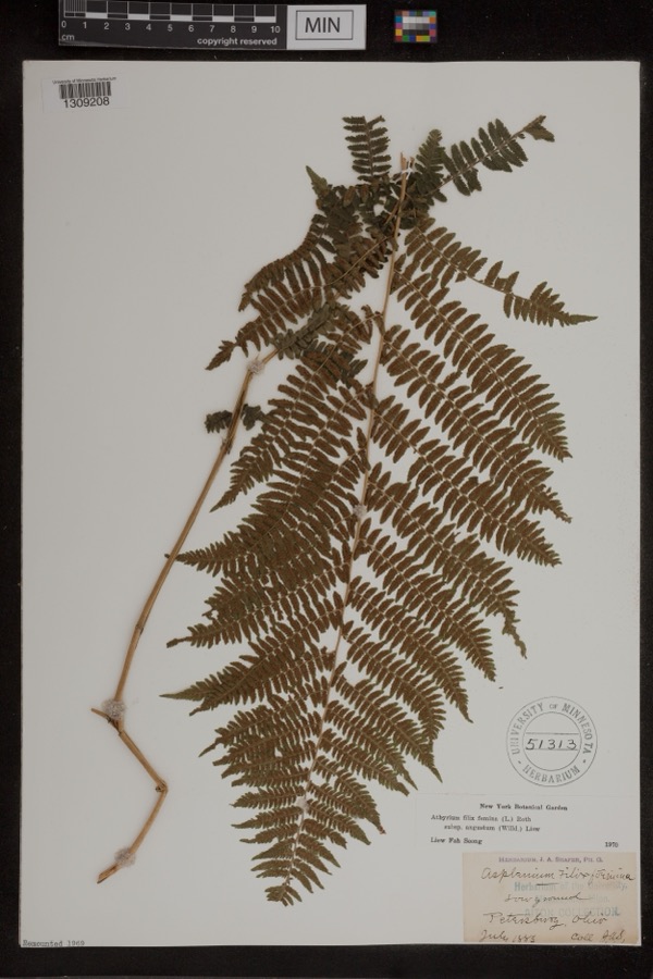 | Athyrium filix-femina var. angustum (Willd.) G.Lawson | 1885 | Shafer, J.A. | Petersburg |
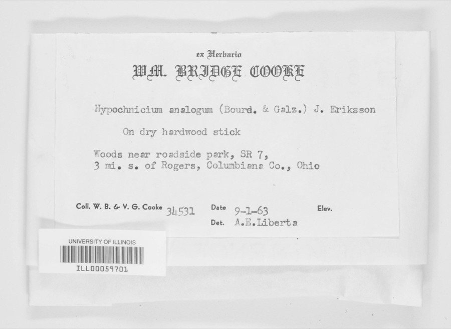 | Hypochnicium analogum (Bourdot & Galzin) J.Erikss. | 1963 | W. B. Cooke, V.G. Cooke | woods near roadside park, SR-7, 3 mi. s. of Rogers. |
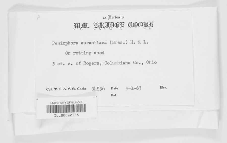 | Peniophora aurantiaca (Bres.) Höhn. & Litsch. | 1963 | WB & VG Cooke | 3 mi. s. of Rogers |
 | Solanum dulcamara L. | 1882 | Shafer, J.A. | near Petersburg |
 | Equisetum hyemale subsp. affine (A.Braun & Engelm.) A.A.Eaton | 1883 | Shafer, J.A. | near Petersburg |
 | Levisticum officinale W.D.J.Koch | 1883 | Shafer, J.A. | Petersburg |
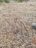 | Apocynum androsaemifolium L. | 1884 | Shafer, J.A. | Near Petersburg Cemetery |
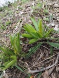 | Armoracia rusticana P.Gaertn., B.Mey. & Scherb. | 1884 | Shafer, J.A. | Wm. Hills place near Petersburg |
 | Botrychium dissectum Spreng. | 1884 | Shafer, J.A. | near Petersburg |
 | Carex lupulina Muhl. ex Willd. | 1884 | Shafer, J.A. | near Petersburg |
 | Chelone glabra L. | 1884 | Shafer, J.A. | near Petersburg |
 | Clematis virginiana L. | 1884 | Shafer, J.A. | Petersburg |
All 312 specimens within 10 miles, at the Global Biodiversity Information Facility.
Mines and quarries near this place
4 within 5 milesRegional context, not property-specific evidence. The federal mineral resources record lists 4 workings within 5 miles of Unity: 3 past producers, 1 producer. 1 still produces. What was taken out: Sand and Gravel, Construction, Limestone, General, Clay. Distance is straight-line from the map coordinates, so a quarry counted here may appear on a neighbouring settlement's page as well.
| Where | Site | Commodity | Status | Recorded |
|---|---|---|---|---|
| Honeycreek Limestone Quarry | Limestone, General | Past Producer | Sedimentary | |
| Thompson Mine | Clay | Producer | ||
| Coppock Sand and Gravel Pit | Sand and Gravel, Construction | Past Producer | Sedimentary | |
| Coppock Sand and Gravel Pit | Sand and Gravel, Construction | Past Producer |
Storms near this place
13 since 1994Regional context, not property-specific evidence. The National Weather Service names Unity in 13 storm reports between 1994 and 2025: 6 hail, 6 thunderstorm wind, 1 flood. No death or injury is recorded in these reports. Each account below is quoted exactly as the forecast office filed it, from the NOAA Storm Events Database, and each date opens the federal record of that event.
| When | Event | Place named | Harm | What the report says |
|---|---|---|---|---|
| August 2011 | Flood | Unity | $25,000 | Law enforcement reported SR 165 with flooded with standing water. |
| June 2019 | Thunderstorm Wind | Unity | $5,000 | According to a social media user, a few large trees were blown down on Hillcrest Circle with structural damage to a home. |
| July 2011 | Thunderstorm Wind | Unity | $5,000 | State official reports of large trees blown down. |
| March 2025 | Thunderstorm Wind | Unity | $1,000 | At the intersection of Heck Road and Poland Road, a large tree was downed. |
| July 2021 | Thunderstorm Wind | Unity | $1,000 | A tree was reported down along State Route 170. |
| May 2019 | Hail | Unity | - | Pea to quarter-sized hail was reported on social media. |
| July 1995 | Thunderstorm Wind | Unity | - | Large branches were downed by thunderstorm winds in Unity. |
| May 2017 | Hail | Unity | - | no account filed |
| July 2012 | Hail | Unity | - | no account filed |
| July 2012 | Hail | Unity | - | no account filed |
| July 1999 | Hail | Unity | - | no account filed |
| July 1995 | Thunderstorm Wind | Unity | - | no account filed |
| June 1994 | Hail | Unity | - | no account filed |
Nearest settlements
The eight closest, with where each one stands in the county. Distances are straight-line, computed from the Geographic Names Information System coordinates.
| Map | Place | Distance | Sheets |
|---|---|---|---|
| Clearwood Court | 2.1 miles | 17 | |
| East Palestine | 2.4 miles | 17 | |
| Wheat Hill Estates | 2.9 miles | 17 | |
| State Line (historical) | 2.9 miles | 17 | |
| New Waterford | 3.2 miles | 17 | |
| Jimtown | 3.3 miles | 17 | |
| Mill Rock | 4.9 miles | 17 | |
| East Fairfield | 5.0 miles | 15 |
Elsewhere
Matched on this settlement's Geographic Names Information System number rather than its name, so it cannot be a different place of the same name in another state.
| Wikipedia article on Unity | An encyclopaedic summary. Its text is share-alike, so it is linked here rather than copied. |
| Wikidata item Q22338867 | The structured record the population and elevation above come from. Public domain (CC0). |
Provenance
This settlement is recorded in the Geographic Names Information System as feature 1049261. The sheet list is computed by point-in-boundary test against the United States Geological Survey's historical topographic inventory. Both are works of the United States government and carry no copyright under 17 U.S.C. 105.
Wildfire. Short, Karen C. 2022. Spatial wildfire occurrence data for the United States, 1992-2020 [FPA_FOD_20221014]. 6th Edition. Fort Collins, CO: Forest Service Research Data Archive. https://doi.org/10.2737/RDS-2013-0009.6 Collected with United States Government funding and usable without additional permissions or fees.
Specimens. Global Biodiversity Information Facility (GBIF), https://www.gbif.org/. Only records licensed CC0 or CC BY are used. Records licensed CC BY-NC are excluded because this site carries advertising. Images are checked individually and any whose licence is non-commercial, no-derivatives or unreadable is refused.
Mines and quarries. USGS Mineral Resources Data System (MRDS) https://mrdata.usgs.gov/mrds/ A work of the United States government, no copyright under 17 U.S.C. 105.
Storms. NOAA National Centers for Environmental Information, Storm Events Database https://www.ncei.noaa.gov/stormevents/ A work of the United States government, no copyright under 17 U.S.C. 105. Narratives are quoted verbatim from the National Weather Service report and are not edited or summarised.