 Block
Block
Columbiana, Ohio
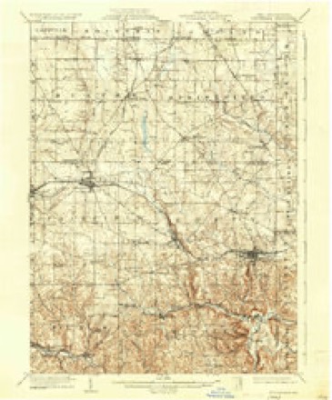
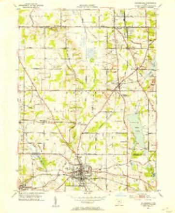
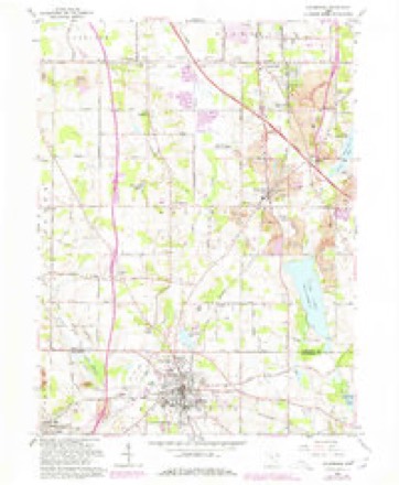
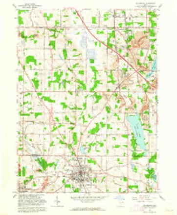
17 topographic sheets cover this place, the earliest surveyed in 1907 and the latest in 1994. It stands in Fairfield Township. It lies in ZIP code area 44408. The Survey maps it on the Columbiana quadrangle. 6,559 people lived here at the 2020 count. It stands 1,158 feet above sea level.
Population over time
4 figuresColumbiana grew from 1,174 to 6,559 between 1860 and 2020. These are the recorded population figures Wikidata holds for this place, reached through the Geographic Names Information System number this page is keyed on rather than by name, so they belong to this place and not to another of the same name. Most are census counts, but not all are: an early figure may be a founding or settlement estimate. The change column is computed, and is left blank where more than 20 years separate a figure from the one before it, because a gap that long is not a change between two counts.
| Year | People | Change |
|---|---|---|
| 1860 | 1,174 | |
| 2000 | 5,635 | |
| 2010 | 6,384 | +749 (+13%) |
| 2020 | 6,559 | +175 (+3%) |
Then and now
1907 to 1994The same ground, surveyed 87 years apart. Drag the handle to wipe between them. Both sheets are United States Geological Survey originals; neither has been altered.
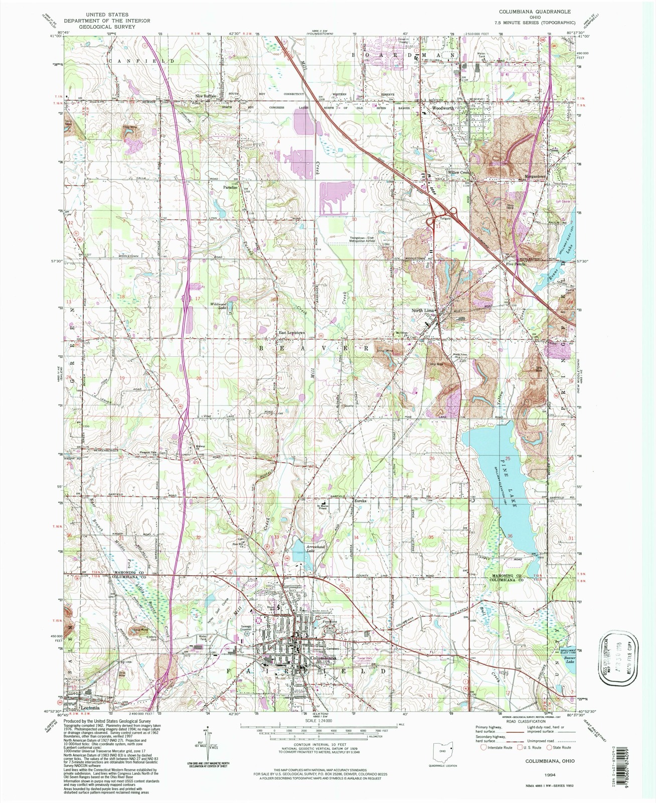
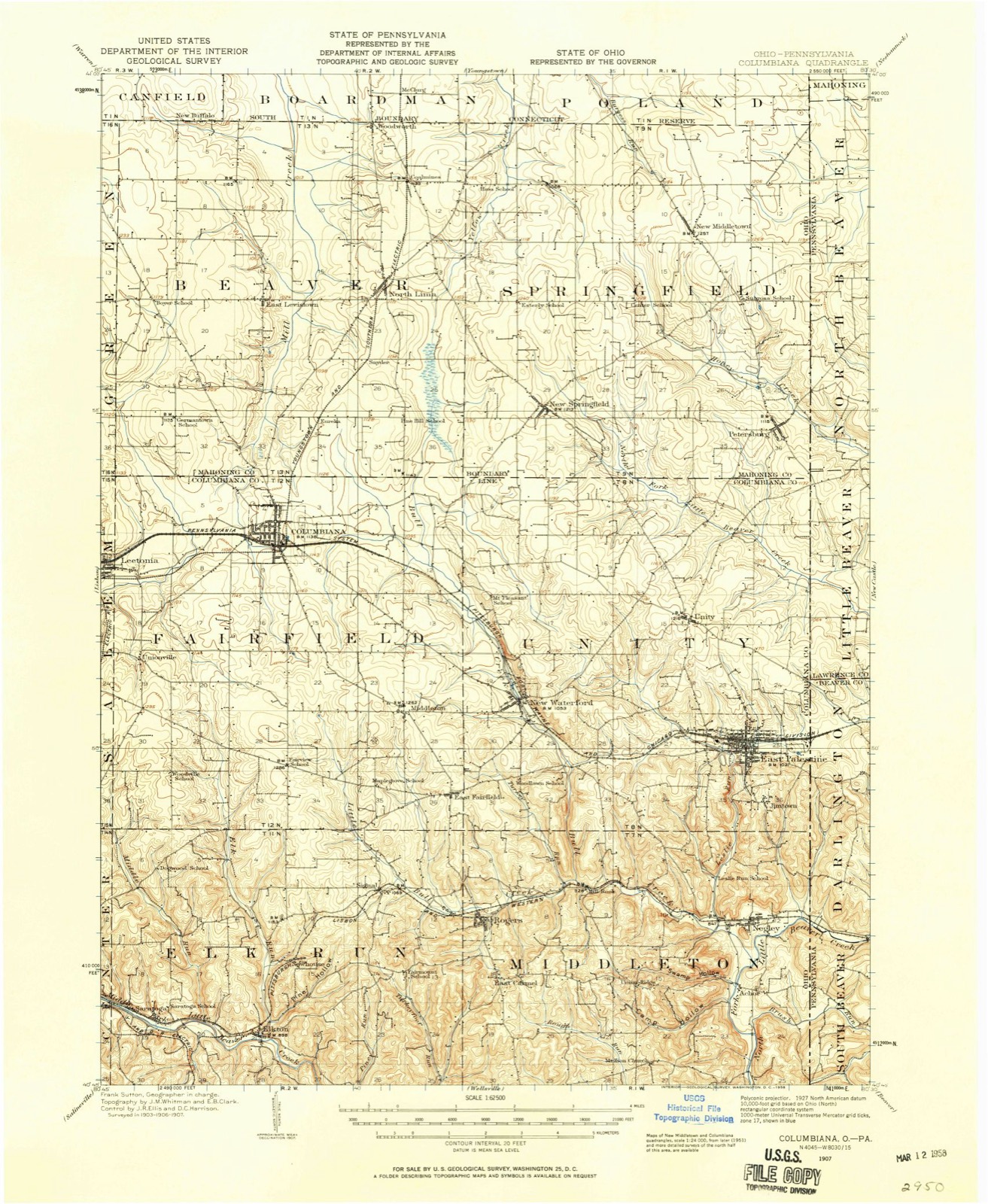
Compare 1907 against another survey:
Topographic sheets covering this place
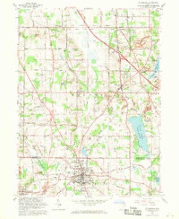
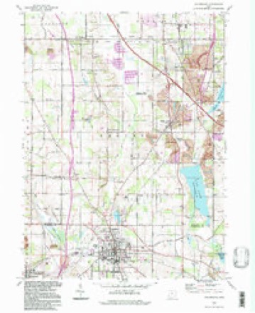
17 sheetsMatched by testing this settlement's coordinate against the published boundary of every sheet in the United States Geological Survey's historical collection. Each opens the scanned sheet at the Survey.
- 1907 USGS Columbiana quadrangle1:62500
- 1909 USGS Columbiana quadrangle1:62500
- 1909 USGS Columbiana quadrangle1:62500
- 1951 USGS Canton quadrangle1:250000
- 1951 USGS Columbiana quadrangle1:24000
- 1953 USGS Canton quadrangle1:250000
- 1957 USGS Canton quadrangle1:250000
- 1957 USGS Canton quadrangle1:250000
- 1957 USGS Canton quadrangle1:250000
- 1962 USGS Canton quadrangle1:250000
- 1962 USGS Canton quadrangle1:250000
- 1962 USGS Columbiana quadrangle1:24000
- 1962 USGS Columbiana quadrangle1:24000
- 1962 USGS Columbiana quadrangle1:24000
- 1986 USGS East Liverpool quadrangle1:100000
- 1986 USGS East Liverpool quadrangle1:100000
- 1994 USGS Columbiana quadrangle1:24000







In the county-history sources
5,192 words on this townshipHistory of Columbiana County, Ohio, published 1879 names this settlement in its chapter on Fairfield Township. These are the passages that mention it, exactly as the scans read.
The following are at present practicing in the township : At Columbiana, Dr. George S. Metzger, who was born in York Co., Pa., in 1815, graduated at the Jefferson Medical College, Philadelphia, and began the exercise of his profession in Columbiana in 1836. He married Margery Nichols of that place in the following year. As a physician and surgeon he has been active, with but little intermission, for nearly forty-four years, and formerly extended his rides into Western Pennsylvania. He has one son and two daughters, all married.
Passage source: History of Columbiana County, Ohio, published 1879.
Ephraim Holloway, Sr., one of the early settlers of the county, was born in New Jersey. When but a small boy he moved with his father, John Holloway, to Culpeper Co., Va., where the father resided until his death. Ephraim married Miss Susanna Garwood, of Culpeper Co., Va., but who was also a native of New Jersey. In 1801 he moved with bis family, then consisting of his wife and two daughters, to Columbiana County, locating on the northwest quarter of section 36, in Salem township, which he improved, and where he resided until his death ; he died in 1845, at the advanced age of sixty-eight years. His widow resided in Columbiana and Mahoning Counties until 1866, at which time she died in Green township, Mahoning County, at the advanced age of eighty-nine years. There were born to them twelve children, as follows: Susanna, Mary, Margaret, John, Isaiah, Sarah,
Passage source: History of Columbiana County, Ohio, published 1879.
Ephraim, Isaac, Jacob, David, Dayton, and Eliza. The three last named died quite young. Susanna married James Caldwell and located in Elk Run township ; afterwards moved to Fairfield township, where her husband still lives, she having died in 1871. Mary married Benjamin Underwood, and after a few years spent in this county moved to Union County, and later to Michigan. Margaret married Philip Miller, and moved to Union County, where she still resides. John married Miss Lydia Dixson, daughter of John and granddaughter of Joshua Dixson, of Fairfield township. Soon after marriage they located two miles east of the village of Columbiana, where they resided until separated by the death of the wife on the 3d day of May, 1843, he continuing in the old homestead for nearly two years afterwards. In 1844 lie married Miss Rebecca Seachrist, and in 1845 purchased and moved on to what was known as the "John Dixson farm," one-half mile north of the village of Columbiana, which is still owned by his heirs, having remained in the possession of the family from its original purchase from the United States government by Joshua Dixson to the present, passing down to the fifth generation. They raised a family of eleven children, six by the first and five by the second wife, as follows: Leonard D., Ephraim S., Lucena, Eliza Ann, John Dixson, and Lydia A., by the first wife, and Susanna, Lot, Amanda, George, and Park by the second wife. Lucena died in February, 1877 ; the others are still living. The father died August 22, 1874, in the sixty-eighth year of his age.
Passage source: History of Columbiana County, Ohio, published 1879.
Machine-read from a century-old scan, so expect the errors a machine makes: misspelled names, dropped words, stray characters.
Read the whole chapter on Fairfield Township - it names this place 38 more 38 times.
Fires near this place
6 since 2004Regional context, not property-specific evidence. The federal wildfire occurrence database lists 6 fires within 5 miles of Columbiana between 2004 and 2014, burning about 15 acres in total. None started naturally. None was recorded as arson. Distance is straight-line from the map coordinates, so a fire counted here may appear on a neighbouring settlement's page as well.
| Reported cause | Fires |
|---|---|
| Debris and open burning | 4 |
| Recreation and ceremony | 1 |
| Missing data/not specified/undetermined | 1 |
The most recent of them, most recent first, with the day each was reported and the service that recorded it.
| Date | Cause | Size | Reported by | Name on the report |
|---|---|---|---|---|
| 9 April 2004 | Debris and open burning | under an acre | Ohio Department of Natural Resources | not named |
| 10 April 2005 | Debris and open burning | under an acre | Ohio Department of Natural Resources | not named |
| 6 March 2009 | Debris and open burning | 5.0 acres | Ohio Department of Natural Resources | not named |
| 31 March 2005 | Recreation and ceremony | 1.6 acres | Ohio Department of Natural Resources | not named |
| 13 March 2009 | Debris and open burning | 5.0 acres | Ohio Department of Natural Resources | not named |
| 4 November 2014 | Missing data/not specified/undetermined | 3.0 acres | Ohio Department of Natural Resources | not named |
Settlements close enough to share some of these fires:
Specimens collected near this place
12 of 542 shownRegional context, not property-specific evidence. Museums hold 542 specimens collected within 10 miles of Columbiana between 1882 and 1975: 308 Plantae, 198 Animalia, 35 Fungi, 1 Unrecorded. 12 distinct Species records are shown. Collected by ?, Adler, K. K., Andreas, B.; Cusick, A.W. and others. Each is a physical object with a catalogue number, and each entry opens the museum's record. This is what was collected and kept, not a survey of what lives here - nothing can be concluded from a species being absent.
| Image | Species | Year | Collected by | Where, as recorded |
|---|---|---|---|---|
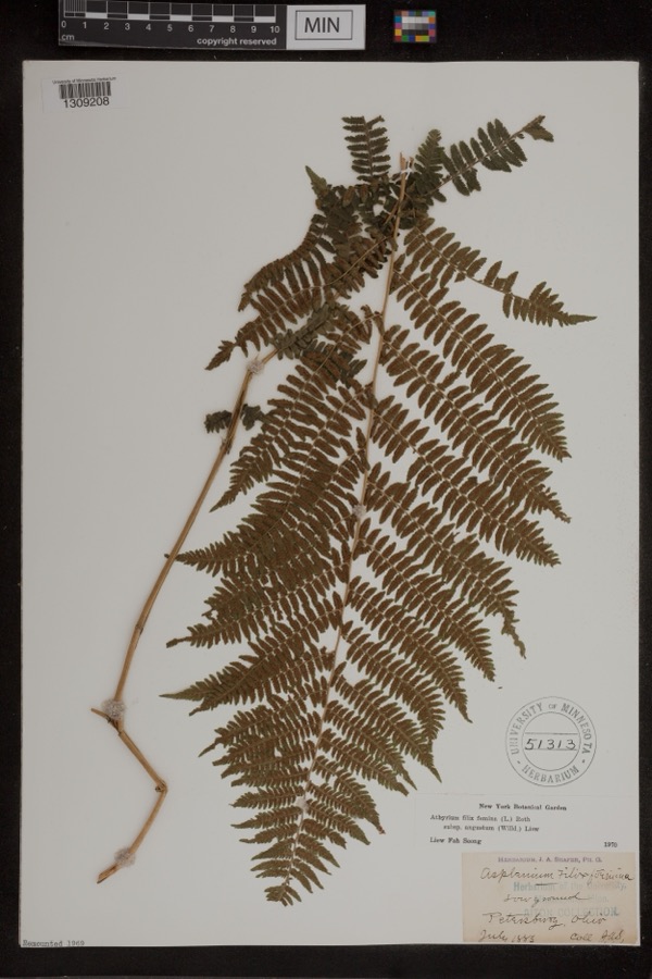 | Athyrium filix-femina var. angustum (Willd.) G.Lawson | 1885 | Shafer, J.A. | Petersburg |
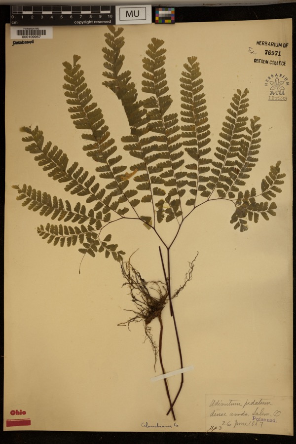 | Adiantum pedatum L. | 1887 | ? | Dense woods, Salem. |
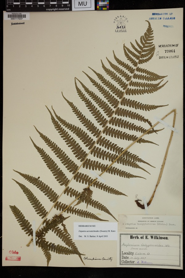 | Deparia acrostichoides (Sw.) M.Kato | 1887 | Wilkinson, E. | Salem |
 | Solanum dulcamara L. | 1882 | Shafer, J.A. | near Petersburg |
 | Equisetum hyemale subsp. affine (A.Braun & Engelm.) A.A.Eaton | 1883 | Shafer, J.A. | near Petersburg |
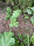 | Levisticum officinale W.D.J.Koch | 1883 | Shafer, J.A. | Petersburg |
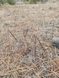 | Apocynum androsaemifolium L. | 1884 | Shafer, J.A. | Near Petersburg Cemetery |
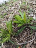 | Armoracia rusticana P.Gaertn., B.Mey. & Scherb. | 1884 | Shafer, J.A. | Wm. Hills place near Petersburg |
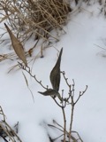 | Asclepias incarnata L. | 1884 | E. Wilkinson | Salem |
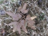 | Botrychium dissectum Spreng. | 1884 | Shafer, J.A. | near Petersburg |
 | Carex lupulina Muhl. ex Willd. | 1884 | Shafer, J.A. | near Petersburg |
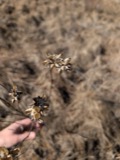 | Chelone glabra L. | 1884 | Shafer, J.A. | near Petersburg |
All 542 specimens within 10 miles, at the Global Biodiversity Information Facility.
Mines and quarries near this place
6 within 5 milesRegional context, not property-specific evidence. The federal mineral resources record lists 6 workings within 5 miles of Columbiana: 3 past producers, 3 producers. 3 still produce. What was taken out: Sand and Gravel, Construction, Manganese, Chromium. Distance is straight-line from the map coordinates, so a quarry counted here may appear on a neighbouring settlement's page as well.
| Where | Site | Commodity | Status | Recorded |
|---|---|---|---|---|
| Kaiser Aluminum/ Columbiana, Ohio | Chromium | Producer | ||
| Kaiser Refractories | Manganese | Past Producer | ||
| Beaver Creek Sand & Gravel Co. Pit | Sand and Gravel, Construction | Past Producer | Sedimentary | |
| Beaver Creek Sand & Gravel Co. Pit | Sand and Gravel, Construction | Producer | ||
| Leetonia Pit | Sand and Gravel, Construction | Past Producer | Sedimentary | |
| Neiheisel Pit | Sand and Gravel, Construction | Producer |
Storms near this place
17 since 1997Regional context, not property-specific evidence. The National Weather Service names Columbiana in 17 storm reports between 1997 and 2015: 11 thunderstorm wind, 4 hail, 1 flash flood, 1 flood. No death or injury is recorded in these reports. Each account below is quoted exactly as the forecast office filed it, from the NOAA Storm Events Database, and each date opens the federal record of that event.
| When | Event | Place named | Harm | What the report says |
|---|---|---|---|---|
| July 2003 | Thunderstorm Wind | Columbiana | $30,000 | About 3:30 PM EDT, a microburst started just southwest of Columbiana, near Route 164. It moved northeast through a residential area and onto a golf course. Path length 0.25 mile; path wide 100 yards. Estimated maximum wind gust 70 mph (61 kt). Numerous trees were toppled or had their tops snapped off. A trampoline was lifted hundreds of feet into the air and slammed into a tree, and was destroyed. A few cars received damage from flying debris. Several large trees on the golf course were blown down. |
| July 2012 | Thunderstorm Wind | Columbiana | $15,000 | A trained spotter reported trees down on Route 14. |
| July 2006 | Thunderstorm Wind | Columbiana | $6,000 | Trees and power lines blown down. |
| May 2015 | Thunderstorm Wind | Columbiana | $5,000 | Local 911 call center reported numerous trees down from Columbiana to New Waterford. |
| May 2004 | Thunderstorm Wind | Columbiana | $5,000 | 60 mph wind damaged roof on building. |
| August 2002 | Thunderstorm Wind | Columbiana | $5,000 | Thunderstorm winds downed a few large trees along Metz Road. |
| June 2000 | Thunderstorm Wind | Columbiana | $5,000 | Thunderstorm winds downed several trees. |
| June 2015 | Flood | Columbiana | $2,000 | The 911 Call Center reported a couple roads closed in the county due to high water. |
| June 1998 | Thunderstorm Wind | Columbiana | $2,000 | Thunderstorm winds downed a large tree. |
| August 1997 | Thunderstorm Wind | Columbiana | $2,000 | Several large limbs were downed by thunderstorm winds. |
| July 1998 | Thunderstorm Wind | Columbiana | $1,000 | A large tree and some branches were downed by thunderstorm winds. |
| May 2004 | Thunderstorm Wind | Columbiana | - | Trees down. |
| June 1997 | Flash Flood | Columbiana | - | Two feet of water covered the intersection of Lower Elkton and Metz Roads following torrential thunderstorm rains. |
| July 2012 | Hail | Columbiana | - | no account filed |
| May 2000 | Hail | Columbiana | - | no account filed |
| April 1999 | Hail | Columbiana | - | no account filed |
| June 1998 | Hail | Columbiana | - | no account filed |
Nearest settlements
The eight closest, with where each one stands in the county. Distances are straight-line, computed from the Geographic Names Information System coordinates.
| Map | Place | Distance | Sheets |
|---|---|---|---|
| Southern Terrace Park | 0.8 miles | 17 | |
| Unionville | 3.2 miles | 15 | |
| Leetonia | 3.3 miles | 16 | |
| Washingtonville | 3.8 miles | 16 | |
| Middleton | 3.8 miles | 15 | |
| New Waterford | 5.2 miles | 17 | |
| East Fairfield | 5.5 miles | 15 | |
| Franklin Square | 5.6 miles | 15 |
Elsewhere
Matched on this settlement's Geographic Names Information System number rather than its name, so it cannot be a different place of the same name in another state.
| Wikipedia article on Columbiana | An encyclopaedic summary. Its text is share-alike, so it is linked here rather than copied. |
| Wikidata item Q998858 | The structured record the population and elevation above come from. Public domain (CC0). |
Provenance
This settlement is recorded in the Geographic Names Information System as feature 1060989. The sheet list is computed by point-in-boundary test against the United States Geological Survey's historical topographic inventory. Both are works of the United States government and carry no copyright under 17 U.S.C. 105.
Wildfire. Short, Karen C. 2022. Spatial wildfire occurrence data for the United States, 1992-2020 [FPA_FOD_20221014]. 6th Edition. Fort Collins, CO: Forest Service Research Data Archive. https://doi.org/10.2737/RDS-2013-0009.6 Collected with United States Government funding and usable without additional permissions or fees.
Specimens. Global Biodiversity Information Facility (GBIF), https://www.gbif.org/. Only records licensed CC0 or CC BY are used. Records licensed CC BY-NC are excluded because this site carries advertising. Images are checked individually and any whose licence is non-commercial, no-derivatives or unreadable is refused.
Mines and quarries. USGS Mineral Resources Data System (MRDS) https://mrdata.usgs.gov/mrds/ A work of the United States government, no copyright under 17 U.S.C. 105.
Storms. NOAA National Centers for Environmental Information, Storm Events Database https://www.ncei.noaa.gov/stormevents/ A work of the United States government, no copyright under 17 U.S.C. 105. Narratives are quoted verbatim from the National Weather Service report and are not edited or summarised.