 Block
Block
Vanlue, Ohio
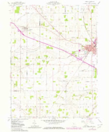
11 topographic sheets cover this place, the earliest surveyed in 1907 and the latest in 1986. It stands in Amanda Township. It lies in ZIP code area 45890. The Survey maps it on the Carey quadrangle. 341 people lived here at the 2020 count.
Population over time
2 figuresVanlue fell from 359 to 341 between 2010 and 2020. These are the recorded population figures Wikidata holds for this place, reached through the Geographic Names Information System number this page is keyed on rather than by name, so they belong to this place and not to another of the same name. Most are census counts, but not all are: an early figure may be a founding or settlement estimate. The change column is computed, and is left blank where more than 20 years separate a figure from the one before it, because a gap that long is not a change between two counts.
| Year | People | Change |
|---|---|---|
| 2010 | 359 | |
| 2020 | 341 | -18 (-5%) |
Then and now
1907 to 1986The same ground, surveyed 79 years apart. Drag the handle to wipe between them. Both sheets are United States Geological Survey originals; neither has been altered.

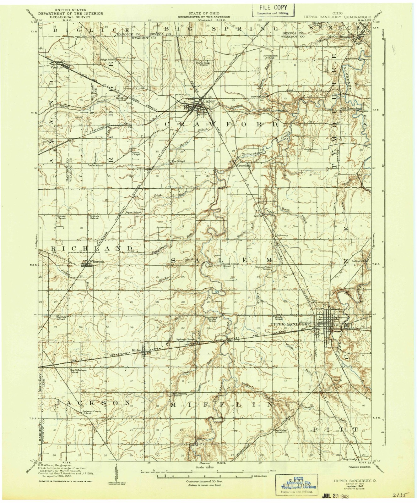
Topographic sheets covering this place
11 sheetsMatched by testing this settlement's coordinate against the published boundary of every sheet in the United States Geological Survey's historical collection. Each opens the scanned sheet at the Survey.
- 1907 USGS Upper Sandusky quadrangle1:62500
- 1950 USGS Marion quadrangle1:250000
- 1961 USGS Carey quadrangle1:24000
- 1961 USGS Carey quadrangle1:24000
- 1961 USGS Carey quadrangle1:24000
- 1962 USGS Marion quadrangle1:250000
- 1966 USGS Marion quadrangle1:250000
- 1966 USGS Marion quadrangle1:250000
- 1966 USGS Marion quadrangle1:250000
- 1986 USGS Marion quadrangle1:100000
- 1986 USGS Marion quadrangle1:100000







In the county-history sources
15,436 words on this townshipHistory of Hancock County [Ohio] from Its Earliest Settlement to the Present Time, Together with Remeiniscenses of Pioneer Life, Incidents, Statistical Tables, and Biographical Sketches, published 1881 names this settlement in its chapter on Amanda Township. These are the passages that mention it, exactly as the scans read.
The first settlement in this township was made by Thomas Thompson, in 1824, near the Big Springs, about one mile from the present town of Vanlue, and in 1825 John Huff and William Hackney came. They were followed soon after by James Beard, John Shoemaker, Henry George and Thomas Cole. Very soon after these Peter George, James Gibson, John Hewitt and Aquilla Gilbert settled here. Judge Abraham Huff was also one of the pioneers of this township.
Passage source: History of Hancock County [Ohio] from Its Earliest Settlement to the Present Time, Together with Remeiniscenses of Pioneer Life, Incidents, Statistical Tables, and Biographical Sketches, published 1881.
Thomas Thompson was a resident of this township for more than a half century, and was highly esteemed by his neighbors. He was a farmer, an occupation which he followed to within a few vears of his death, when old age and
Passage source: History of Hancock County [Ohio] from Its Earliest Settlement to the Present Time, Together with Remeiniscenses of Pioneer Life, Incidents, Statistical Tables, and Biographical Sketches, published 1881.
Peter George, who was known as the " Pioneer land hunter," he having entertained, and guided through the forest of Hancock County, more land hunters and emigrants than any other men in the county perhaps, is still living ; And though bent by age and hard labor, is yet cheerful and happy, and loves to recount the experiences of a backwoodsman. Mr. George was County Commissioner for six years.
Passage source: History of Hancock County [Ohio] from Its Earliest Settlement to the Present Time, Together with Remeiniscenses of Pioneer Life, Incidents, Statistical Tables, and Biographical Sketches, published 1881.
Machine-read from a century-old scan, so expect the errors a machine makes: misspelled names, dropped words, stray characters.
Read the whole chapter on Amanda Township - it names this place 16 more 16 times.
Specimens collected near this place
12 of 159 shownRegional context, not property-specific evidence. Museums hold 159 specimens collected within 10 miles of Vanlue between 1883 and 1967: 159 Animalia. 12 distinct Species records are shown. Collected by CL & LC Hubbs, CLARENCE CLARK, Collector(s): David E. Ferguson and others. Each is a physical object with a catalogue number, and each entry opens the museum's record. This is what was collected and kept, not a survey of what lives here - nothing can be concluded from a species being absent.
| Image | Species | Year | Collected by | Where, as recorded |
|---|---|---|---|---|
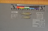 | Notropis boops Gilbert, 1884 | 1883 | Kirsch, P. H | Blanchard River, Findlay |
 | Esox americanus vermiculatus Lesueur, 1846 | 1893 | P. Kirsch | Blanchard River, Findlay, Ohio |
 | Micropterus dolomieu Lacepède, 1802 | 1893 | P. Kirsch | Blanchard River, Findley, Ohio |
 | Catostomus commersonii (Lacepède, 1803) | 1925 | CL & LC Hubbs | Eagle Creek, due S of Findlay; Maumee River drainage |
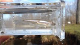 | Cyprinella spiloptera (Cope, 1867) | 1925 | CL & LC Hubbs | Eagle Creek, due S of Findlay; Maumee River drainage |
 | Etheostoma blennioides Rafinesque, 1819 | 1925 | CL & LC Hubbs | Eagle Creek, due S of Findlay; Maumee River drainage |
 | Etheostoma nigrum Rafinesque, 1820 | 1925 | CL & LC Hubbs | Eagle Creek, due S of Findlay; Maumee River drainage |
 | Lepomis cyanellus Rafinesque, 1819 | 1925 | CL & LC Hubbs | Eagle Creek, due S of Findlay; Maumee River drainage |
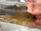 | Lepomis megalotis (Rafinesque, 1820) | 1925 | CL & LC Hubbs | Eagle Creek, due S of Findlay; Maumee River drainage |
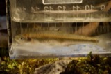 | Lythrurus umbratilis (Girard, 1856) | 1925 | CL & LC Hubbs | Eagle Creek, due S of Findlay; Maumee River drainage |
| Notropis amblops (Rafinesque, 1820) | 1925 | CL & LC Hubbs | Eagle Creek, due S of Findlay; Maumee River drainage | |
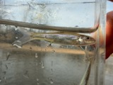 | Notropis buccatus (Cope, 1865) | 1925 | CL & LC Hubbs | Eagle Creek, due S of Findlay; Maumee River drainage |
All 159 specimens within 10 miles, at the Global Biodiversity Information Facility.
Storms near this place
12 since 1996Regional context, not property-specific evidence. The National Weather Service names Vanlue in 12 storm reports between 1996 and 2023: 6 thunderstorm wind, 5 hail, 1 flash flood. No death or injury is recorded in these reports. Each account below is quoted exactly as the forecast office filed it, from the NOAA Storm Events Database, and each date opens the federal record of that event.
| When | Event | Place named | Harm | What the report says |
|---|---|---|---|---|
| May 2011 | Hail | Vanlue | $150,000 | Thunderstorms produced hail ranging in size from ping pong balls to golf balls. Numerous vehicles were damaged during this event. |
| April 2000 | Thunderstorm Wind | Vanlue | $100,000 | Thunderstorms winds tipped two semi trucks over on State Route 15 just east of Vanlue. Both trucks suffered major damage. |
| June 2000 | Thunderstorm Wind | Vanlue | $5,000 | Thunderstorm winds snapped a power pole and downed many large tree limbs in eastern Hancock County. |
| July 2015 | Thunderstorm Wind | Vanlue | $3,000 | A trained weather spotter reported several large tree branches down at Heritage Springs campground in Vanlue. |
| May 2004 | Hail | Vanlue | $2,000 | Quarter size hail was observed. |
| May 2017 | Thunderstorm Wind | Vanlue | $1,000 | Thunderstorm winds downed a tree. |
| July 2023 | Thunderstorm Wind | Vanlue | - | Top of maple tree snapped-off and limb snapped-off separate tree in Vanlue. |
| May 2022 | Hail | Vanlue | - | Quarter-size hail in Vanlue. |
| July 2017 | Hail | Vanlue | - | Penny to quarter sized hail was observed. |
| August 2008 | Thunderstorm Wind | Vanlue | - | A trained spotter estimated thunderstorm wind gusts to be around 60 mph. |
| May 1998 | Hail | Vanlue | - | no account filed |
| July 1996 | Flash Flood | Vanlue | - | no account filed |
Nearest settlements
The eight closest, with where each one stands in the county. Distances are straight-line, computed from the Geographic Names Information System coordinates.
| Map | Place | Distance | Sheets |
|---|---|---|---|
| Pratts | 3.9 miles | 13 | |
| Houcktown | 6.7 miles | 13 | |
| Mount Blanchard | 6.7 miles | 13 | |
| West Independence | 7.3 miles | 11 | |
| Chateau East | 8.9 miles | 12 | |
| Beagle (historical) | 9.1 miles | 14 | |
| Eastowne Estates | 9.1 miles | 12 | |
| South Findlay | 9.2 miles | 13 |
Elsewhere
Matched on this settlement's Geographic Names Information System number rather than its name, so it cannot be a different place of the same name in another state.
| Wikipedia article on Vanlue | An encyclopaedic summary. Its text is share-alike, so it is linked here rather than copied. |
| Wikidata item Q2323287 | The structured record the population and elevation above come from. Public domain (CC0). |
Provenance
This settlement is recorded in the Geographic Names Information System as feature 1065430. The sheet list is computed by point-in-boundary test against the United States Geological Survey's historical topographic inventory. Both are works of the United States government and carry no copyright under 17 U.S.C. 105.
Specimens. Global Biodiversity Information Facility (GBIF), https://www.gbif.org/. Only records licensed CC0 or CC BY are used. Records licensed CC BY-NC are excluded because this site carries advertising. Images are checked individually and any whose licence is non-commercial, no-derivatives or unreadable is refused.
Storms. NOAA National Centers for Environmental Information, Storm Events Database https://www.ncei.noaa.gov/stormevents/ A work of the United States government, no copyright under 17 U.S.C. 105. Narratives are quoted verbatim from the National Weather Service report and are not edited or summarised.